Mantorville (/ˈmæntərvɪl/ MAN-tər-vil) is a city in Dodge County, Minnesota, United States. The population was 1,197 at the 2010 census. It is the county seat of Dodge County. Founded in 1854, the city is one of the oldest in Minnesota.
Mantorville shares a school system with nearby Kasson, Minnesota (the “K–M Komets”). The K–M school system is a member of the Zumbro Education school district (ZED).
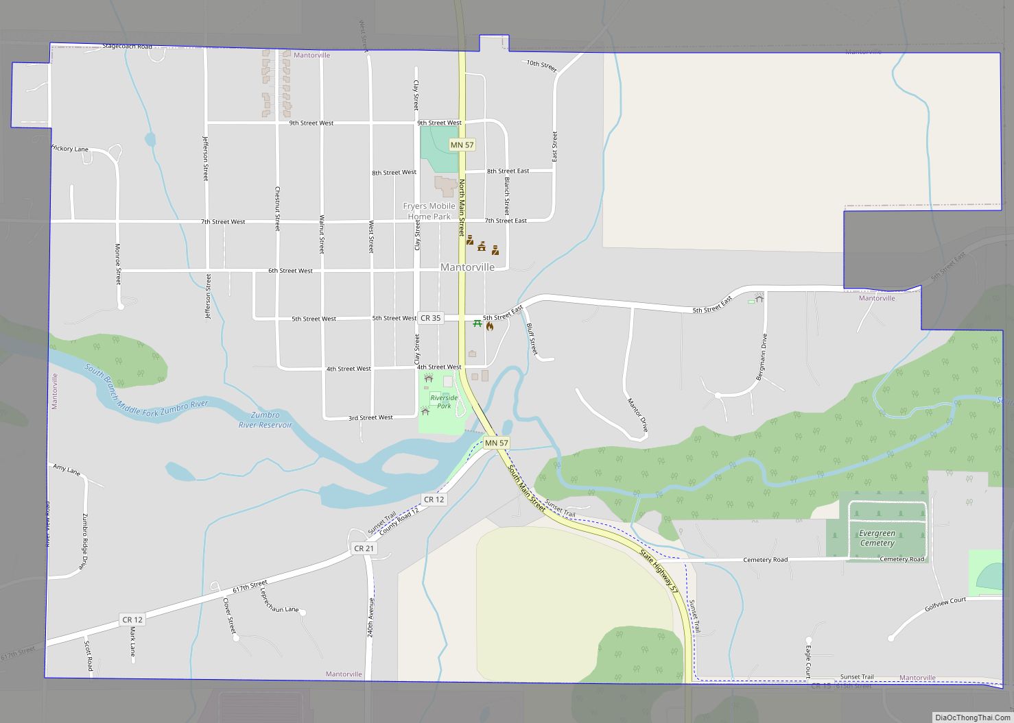
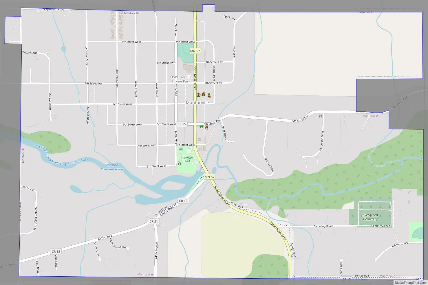
Minnesota State Highway 57 serves as a main route in the city.
| Name: | Mantorville city |
|---|---|
| LSAD Code: | 25 |
| LSAD Description: | city (suffix) |
| State: | Minnesota |
| County: | Dodge County |
| Incorporated: | 1854 |
| Elevation: | 1,178 ft (359 m) |
| Total Area: | 1.48 sq mi (3.84 km²) |
| Land Area: | 1.46 sq mi (3.78 km²) |
| Water Area: | 0.03 sq mi (0.07 km²) |
| Total Population: | 1,111 |
| Population Density: | 762.00/sq mi (294.23/km²) |
| ZIP code: | 55955 |
| Area code: | 507 |
| FIPS code: | 2739986 |
| GNISfeature ID: | 0647454 |
| Website: | www.mantorville.com |
Online Interactive Map
Click on ![]() to view map in "full screen" mode.
to view map in "full screen" mode.
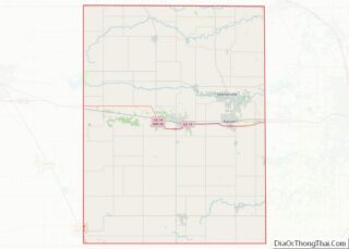
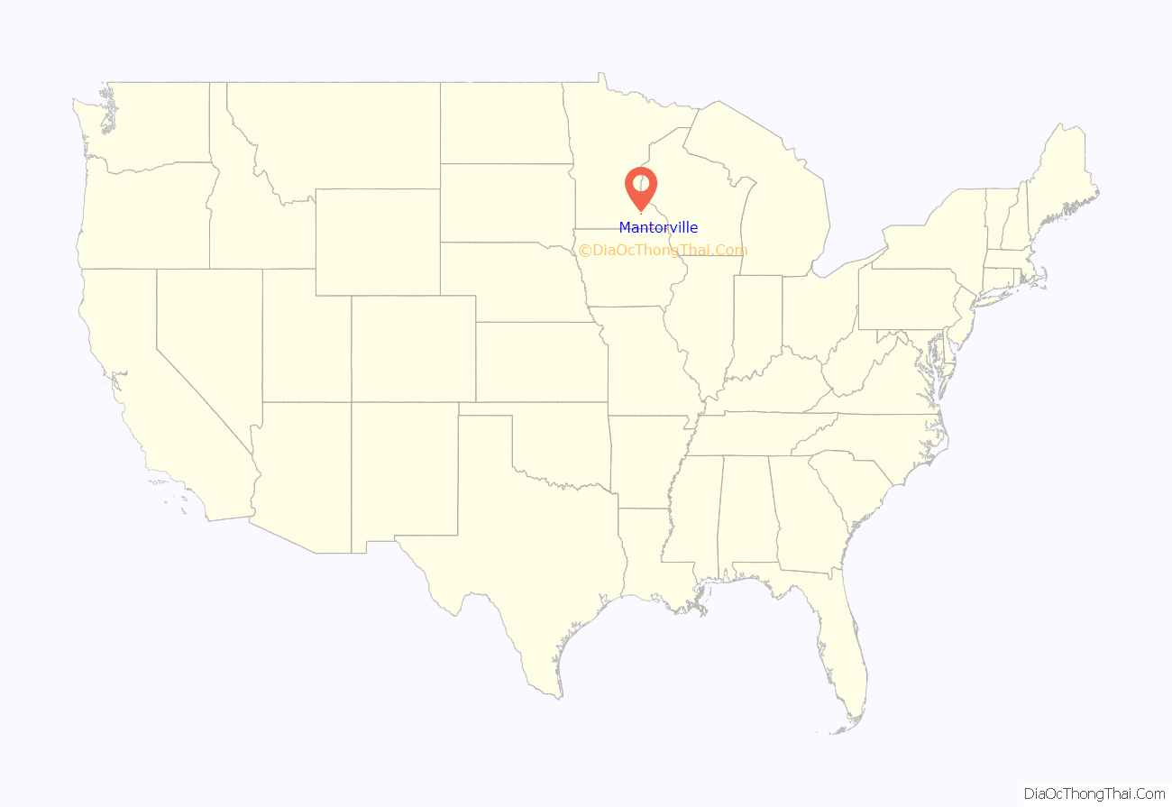
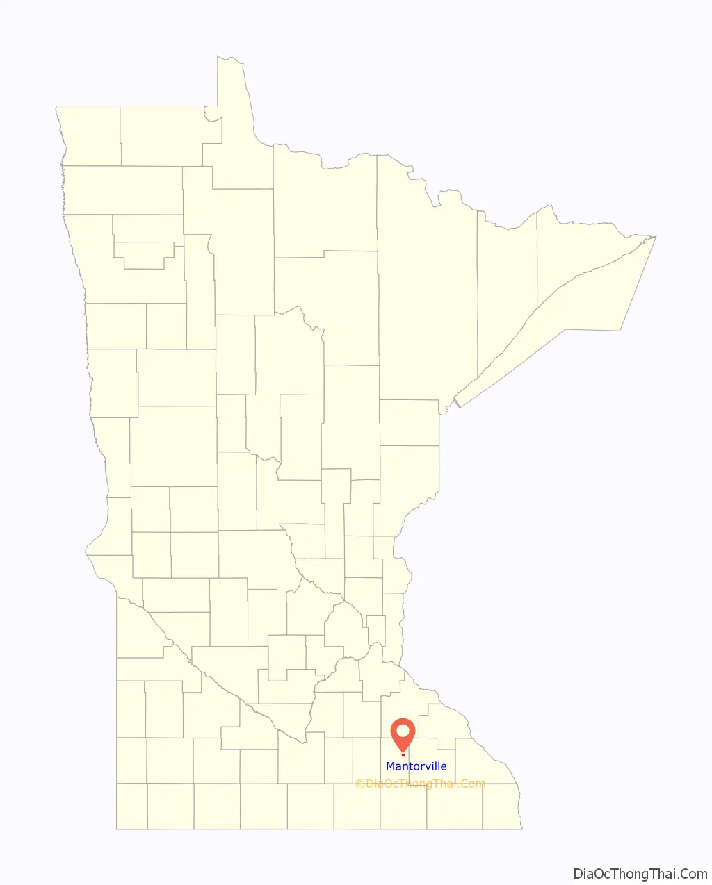
Mantorville location map. Where is Mantorville city?
History
It is known as the source of Mantorville limestone, which found its way into buildings across the United States. The limestone quarried in the area was soft and easily carved when first extracted, but became harder as it endured the elements, making it a long-lasting building material. The historic Hubbell House used the stone in 1856, and it was likewise used in 1865 for the Dodge County Courthouse, designed by E. Townsend Mix and now the oldest working courthouse in Minnesota.
Mantorville is named for Peter and Riley Mantor, brothers who came to the settlement in 1853. The Mantorville Historic District, which covers both sides of Minnesota Highway 57 and 5th Street, was added as a historic district to the National Register of Historic Places in 1974.
Mantorville Road Map
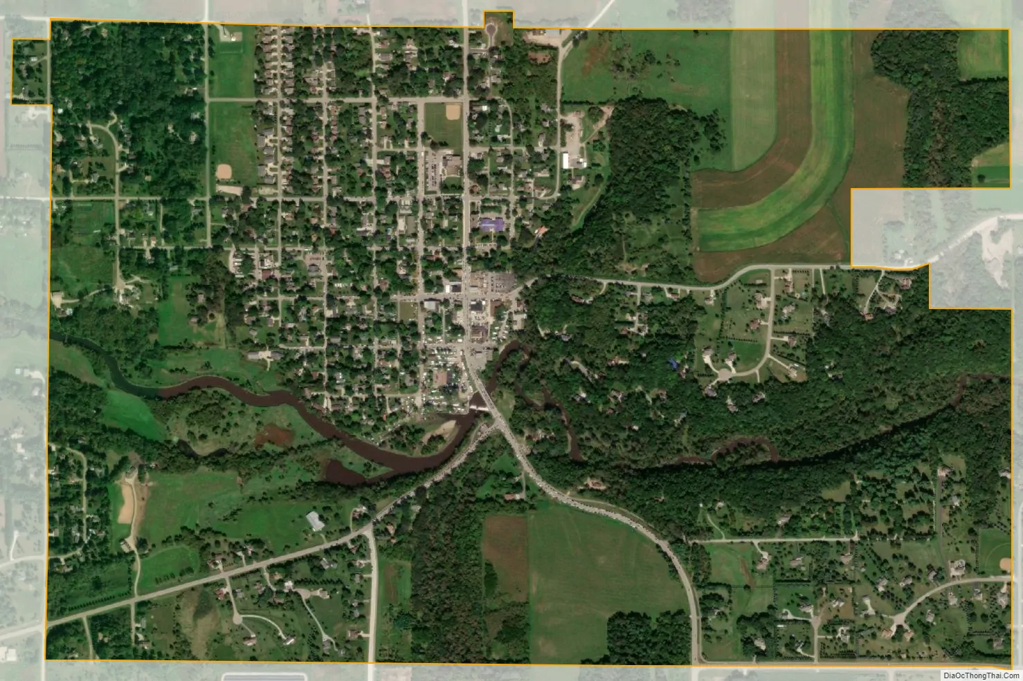
Mantorville city Satellite Map
Geography
Mantorville is located along the South Branch of the Middle Fork of the Zumbro River, west of Rochester, Minnesota. According to the United States Census Bureau, the city has a total area of 1.45 square miles (3.76 km), of which 1.42 square miles (3.68 km) is land and 0.03 square miles (0.08 km) is water.
See also
Map of Minnesota State and its subdivision:- Aitkin
- Anoka
- Becker
- Beltrami
- Benton
- Big Stone
- Blue Earth
- Brown
- Carlton
- Carver
- Cass
- Chippewa
- Chisago
- Clay
- Clearwater
- Cook
- Cottonwood
- Crow Wing
- Dakota
- Dodge
- Douglas
- Faribault
- Fillmore
- Freeborn
- Goodhue
- Grant
- Hennepin
- Houston
- Hubbard
- Isanti
- Itasca
- Jackson
- Kanabec
- Kandiyohi
- Kittson
- Koochiching
- Lac qui Parle
- Lake
- Lake of the Woods
- Lake Superior
- Le Sueur
- Lincoln
- Lyon
- Mahnomen
- Marshall
- Martin
- McLeod
- Meeker
- Mille Lacs
- Morrison
- Mower
- Murray
- Nicollet
- Nobles
- Norman
- Olmsted
- Otter Tail
- Pennington
- Pine
- Pipestone
- Polk
- Pope
- Ramsey
- Red Lake
- Redwood
- Renville
- Rice
- Rock
- Roseau
- Saint Louis
- Scott
- Sherburne
- Sibley
- Stearns
- Steele
- Stevens
- Swift
- Todd
- Traverse
- Wabasha
- Wadena
- Waseca
- Washington
- Watonwan
- Wilkin
- Winona
- Wright
- Yellow Medicine
- Alabama
- Alaska
- Arizona
- Arkansas
- California
- Colorado
- Connecticut
- Delaware
- District of Columbia
- Florida
- Georgia
- Hawaii
- Idaho
- Illinois
- Indiana
- Iowa
- Kansas
- Kentucky
- Louisiana
- Maine
- Maryland
- Massachusetts
- Michigan
- Minnesota
- Mississippi
- Missouri
- Montana
- Nebraska
- Nevada
- New Hampshire
- New Jersey
- New Mexico
- New York
- North Carolina
- North Dakota
- Ohio
- Oklahoma
- Oregon
- Pennsylvania
- Rhode Island
- South Carolina
- South Dakota
- Tennessee
- Texas
- Utah
- Vermont
- Virginia
- Washington
- West Virginia
- Wisconsin
- Wyoming