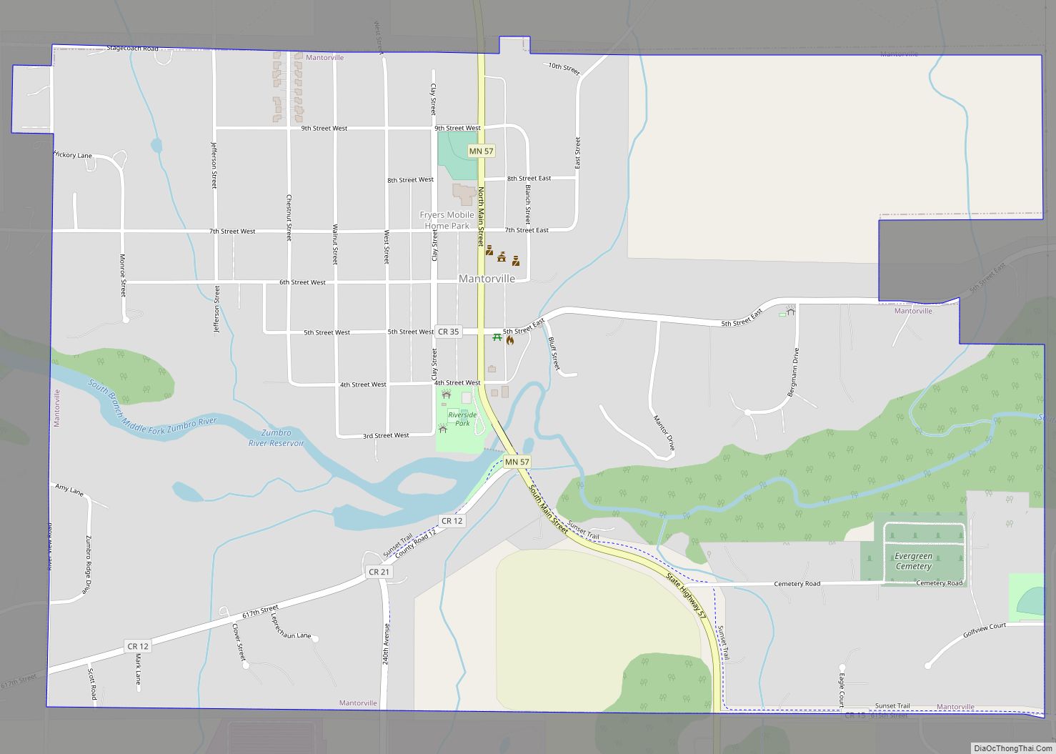
Kasson (/ˈkæsən/ KASS-ən) is a city in Dodge County, Minnesota, United States. The population was 6,851 at the 2020 census. The city is located 13 miles (21 km) west of Rochester along U.S. Highway 14 and is one of the endpoints of Minnesota State Highway 57. The Dakota, Minnesota and Eastern Railroad’s main freight rail line also runs through the city. Kasson shares a school system with nearby Mantorville (the “K–M Komets”). The K–M school system is a member of the Zumbro Education school district (ZED). Kasson is part of the Rochester, MN Metropolitan Statistical Area.
| Name: | Kasson city |
|---|---|
| LSAD Code: | 25 |
| LSAD Description: | city (suffix) |
| State: | Minnesota |
| County: | Dodge County |
| Elevation: | 1,253 ft (382 m) |
| Total Area: | 3.04 sq mi (7.88 km²) |
| Land Area: | 3.04 sq mi (7.88 km²) |
| Water Area: | 0.00 sq mi (0.00 km²) |
| Total Population: | 6,851 |
| Population Density: | 2,252.88/sq mi (869.96/km²) |
| ZIP code: | 55944 |
| Area code: | 507 |
| FIPS code: | 2732498 |
| GNISfeature ID: | 0646049 |
| Website: | www.cityofkasson.com |
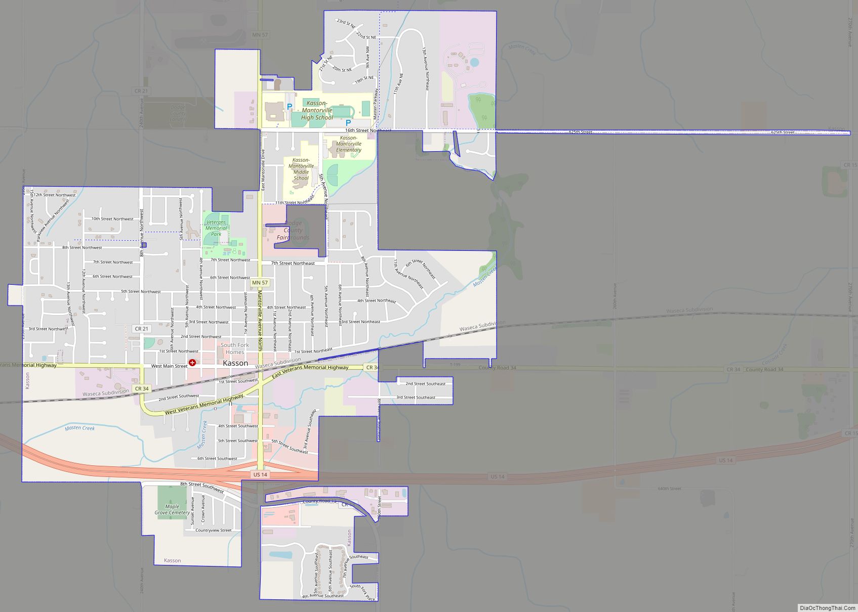
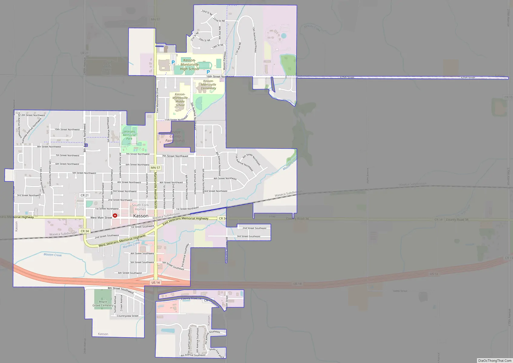
Online Interactive Map
Click on ![]() to view map in "full screen" mode.
to view map in "full screen" mode.
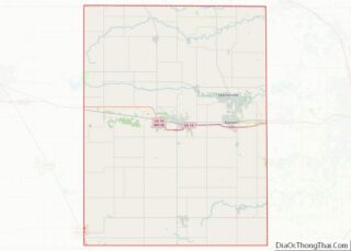
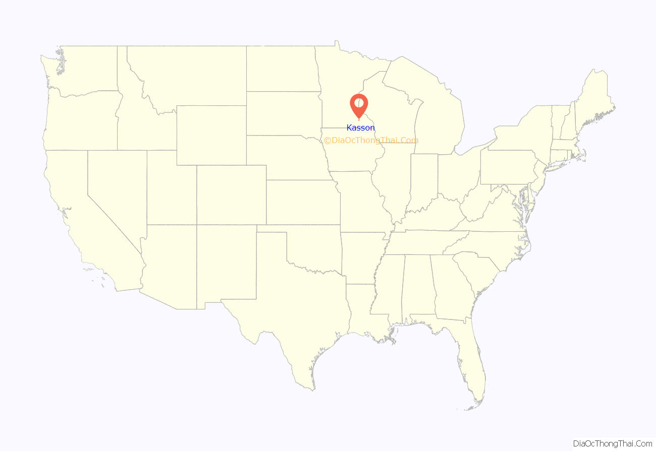
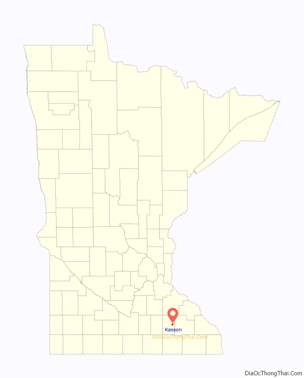
Kasson location map. Where is Kasson city?
History
According to Warren Upham, superintendent of the Minnesota Historical Society from 1896–1934, the city of Kasson was incorporated on February 24, 1870, and again on April 22, 1916, separating from the township on March 21, 1917. The town was named after Jabez Hyde Kasson, owner of the original townsite. Kasson was born on January 17, 1820, and moved to Minnesota in 1856. He settled on a farm in the township, and laid out the village along with others. The plat was recorded on October 13, 1865. It had a station of the Chicago and North Western Transportation Company, and its post office opened in 1866.
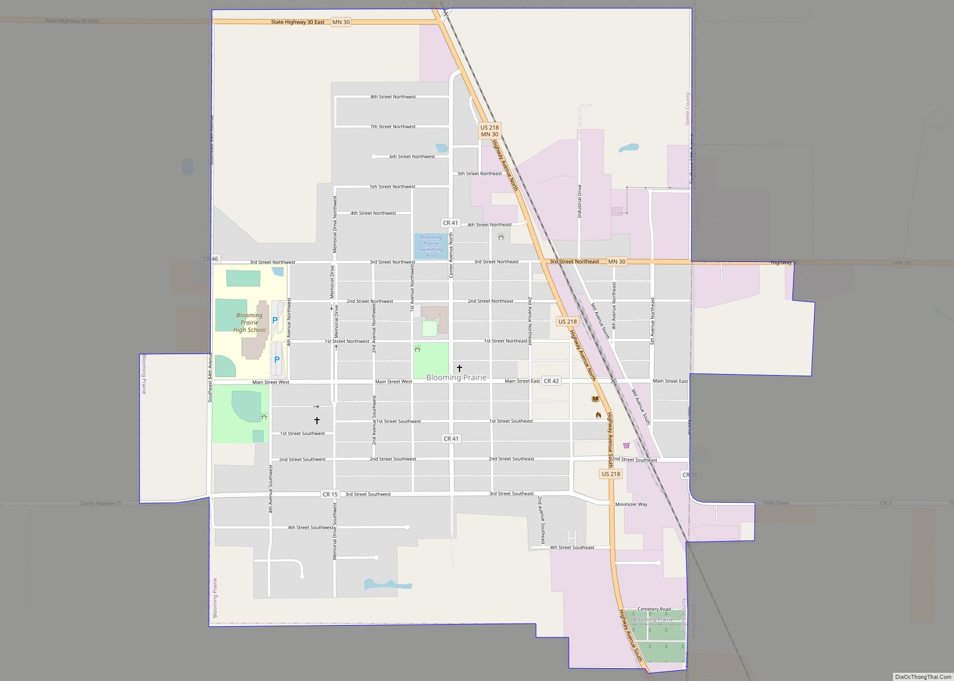
Kasson Road Map
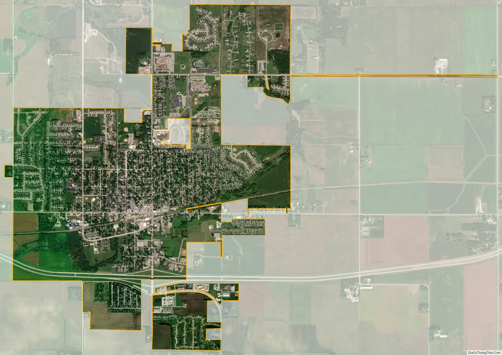
Kasson city Satellite Map
Geography
According to the United States Census Bureau, the city has a total area of 3.00 square miles (7.77 km), all land. Kasson is located 15 miles (24 km) west of Rochester, and 3 miles (4.8 km) south of Mantorville.
See also
Map of Minnesota State and its subdivision:- Aitkin
- Anoka
- Becker
- Beltrami
- Benton
- Big Stone
- Blue Earth
- Brown
- Carlton
- Carver
- Cass
- Chippewa
- Chisago
- Clay
- Clearwater
- Cook
- Cottonwood
- Crow Wing
- Dakota
- Dodge
- Douglas
- Faribault
- Fillmore
- Freeborn
- Goodhue
- Grant
- Hennepin
- Houston
- Hubbard
- Isanti
- Itasca
- Jackson
- Kanabec
- Kandiyohi
- Kittson
- Koochiching
- Lac qui Parle
- Lake
- Lake of the Woods
- Lake Superior
- Le Sueur
- Lincoln
- Lyon
- Mahnomen
- Marshall
- Martin
- McLeod
- Meeker
- Mille Lacs
- Morrison
- Mower
- Murray
- Nicollet
- Nobles
- Norman
- Olmsted
- Otter Tail
- Pennington
- Pine
- Pipestone
- Polk
- Pope
- Ramsey
- Red Lake
- Redwood
- Renville
- Rice
- Rock
- Roseau
- Saint Louis
- Scott
- Sherburne
- Sibley
- Stearns
- Steele
- Stevens
- Swift
- Todd
- Traverse
- Wabasha
- Wadena
- Waseca
- Washington
- Watonwan
- Wilkin
- Winona
- Wright
- Yellow Medicine
- Alabama
- Alaska
- Arizona
- Arkansas
- California
- Colorado
- Connecticut
- Delaware
- District of Columbia
- Florida
- Georgia
- Hawaii
- Idaho
- Illinois
- Indiana
- Iowa
- Kansas
- Kentucky
- Louisiana
- Maine
- Maryland
- Massachusetts
- Michigan
- Minnesota
- Mississippi
- Missouri
- Montana
- Nebraska
- Nevada
- New Hampshire
- New Jersey
- New Mexico
- New York
- North Carolina
- North Dakota
- Ohio
- Oklahoma
- Oregon
- Pennsylvania
- Rhode Island
- South Carolina
- South Dakota
- Tennessee
- Texas
- Utah
- Vermont
- Virginia
- Washington
- West Virginia
- Wisconsin
- Wyoming