East Orange is a city in Essex County, in the U.S. state of New Jersey. As of the 2020 United States census, the city’s population was 69,612, an increase of 5,342 (+8.3%) from the 2010 census count of 64,270, which in turn reflected a decline of 5,554 (−8.0%) from the 69,824 counted in the 2000 census. The city was the state’s 17th most populous municipality in 2020, after having been ranked 20th in 2010 and 14th statewide in 2000. The Census Bureau’s Population Estimates Program calculated that the city’s population was 68,446 in 2022, ranking the city the 553d-most-populous in the country.
| Name: | East Orange city |
|---|---|
| LSAD Code: | 25 |
| LSAD Description: | city (suffix) |
| State: | New Jersey |
| County: | Essex County |
| Incorporated: | March 4, 1863 |
| Elevation: | 177 ft (54 m) |
| Total Area: | 3.93 sq mi (10.17 km²) |
| Land Area: | 3.93 sq mi (10.17 km²) |
| Water Area: | 0.00 sq mi (0.00 km²) 0.00% |
| Total Population: | 69,612 |
| Population Density: | 17,722.0/sq mi (6,842.5/km²) |
| Area code: | 973 |
| FIPS code: | 3419390 |
| GNISfeature ID: | 0885200 |
| Website: | www.eastorange-nj.gov |
Online Interactive Map
Click on ![]() to view map in "full screen" mode.
to view map in "full screen" mode.
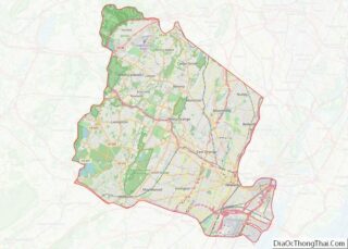
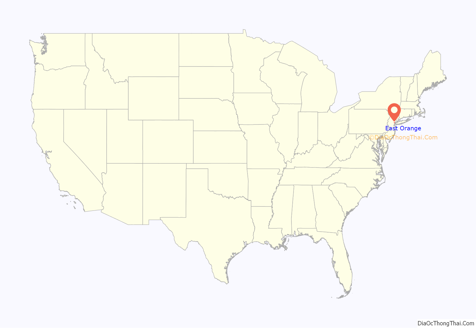
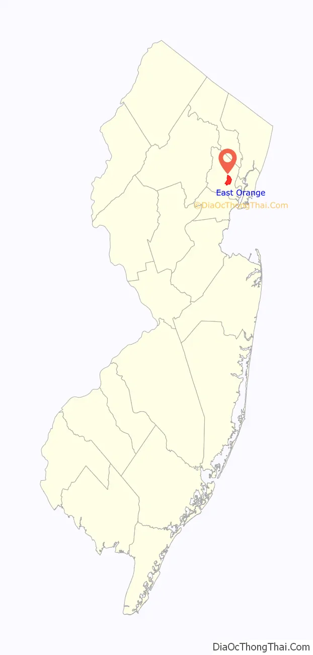
East Orange location map. Where is East Orange city?
History
East Orange had its origins in Connecticut‘s New Haven Colony. In 1666, a group of 30 of New Haven’s families traveled by water to found “a town on the Passayak” River. They arrived on territory now encompassing Newark, the Oranges, and several other municipalities. The area was situated in the northeast portion of a land grant conveyed by King Charles II of England to his brother James, Duke of York. In 1664, James conveyed the land to two proprietors, Lord John Berkeley and Sir George Carteret. Since Carteret had been Royal Governor of the Isle of Jersey, the territory became known as New Jersey.
East Orange was initially a part of Newark and was originally known as Newark Mountains. On June 7, 1780, the townspeople of Newark Mountains officially voted to adopt the name Orange. At the time, there was a significant number of people in favor of secession from Newark. However, this would not occur until November 27, 1806, when the territory now encompassing all of the Oranges was finally detached. On April 13, 1807, the first government was elected, but not until March 13, 1860 was Orange officially incorporated as a city. Immediately, the new city began fragmenting into smaller communities, primarily because of local disputes about the costs of establishing paid police, fire, and street departments. South Orange was organized on January 26, 1861; Fairmount (later to become part of West Orange) on March 11, 1862; East Orange on March 4, 1863; and West Orange (including Fairmount) on March 14, 1863. East Orange was reincorporated as a city on December 9, 1899, based on the results of a referendum held two days earlier.
East Orange was known, at one time, for the shade trees that lined the city’s residential streets. This is still evident today as many of the tall trees still stand.
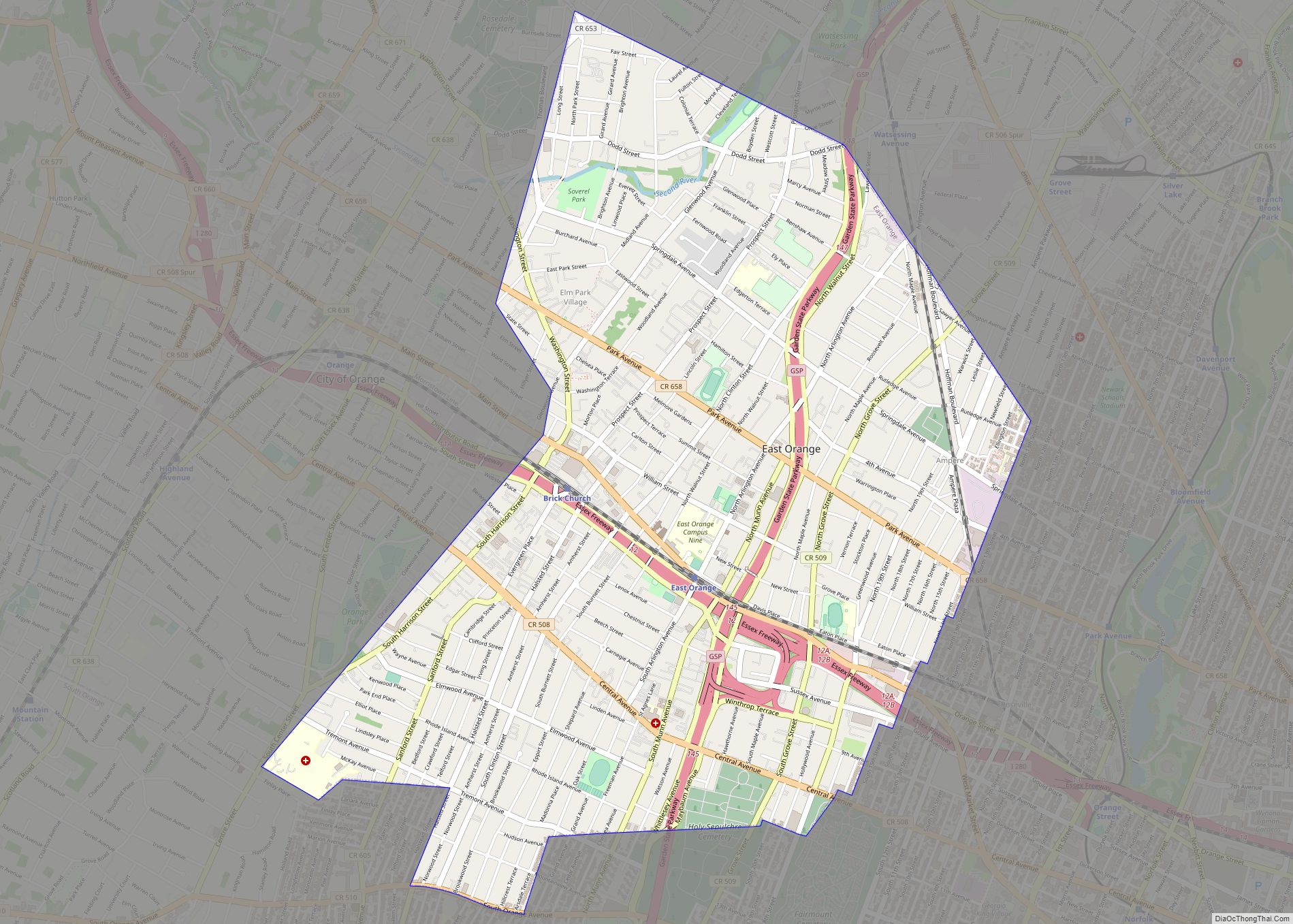
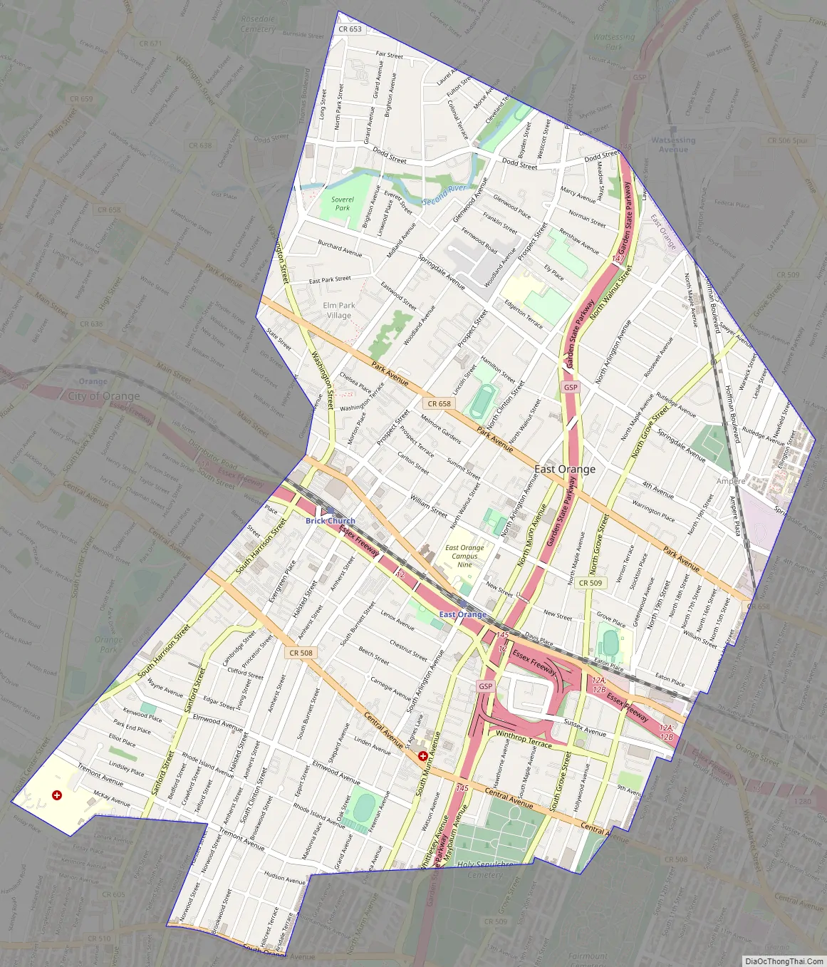
East Orange Road Map
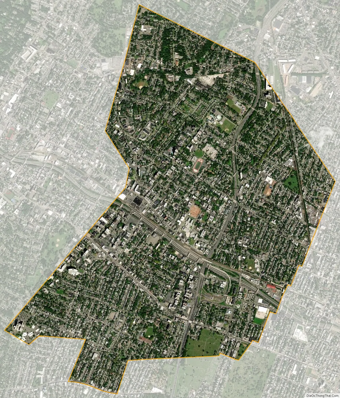
East Orange city Satellite Map
Geography
According to the U.S. Census Bureau, the city had a total area of 3.93 square miles (10.17 km), all of which was land.
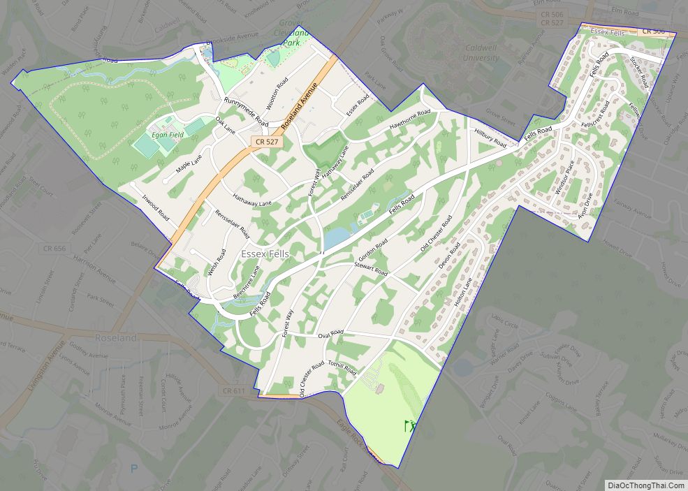
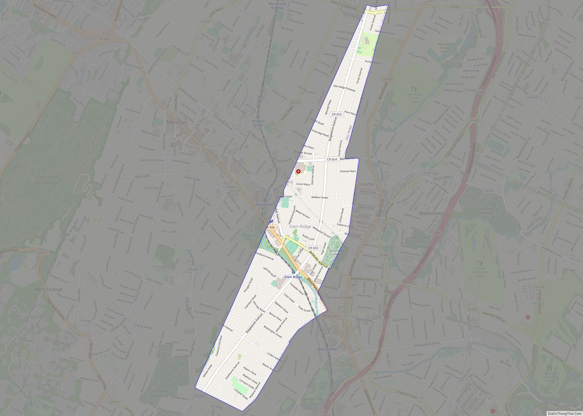
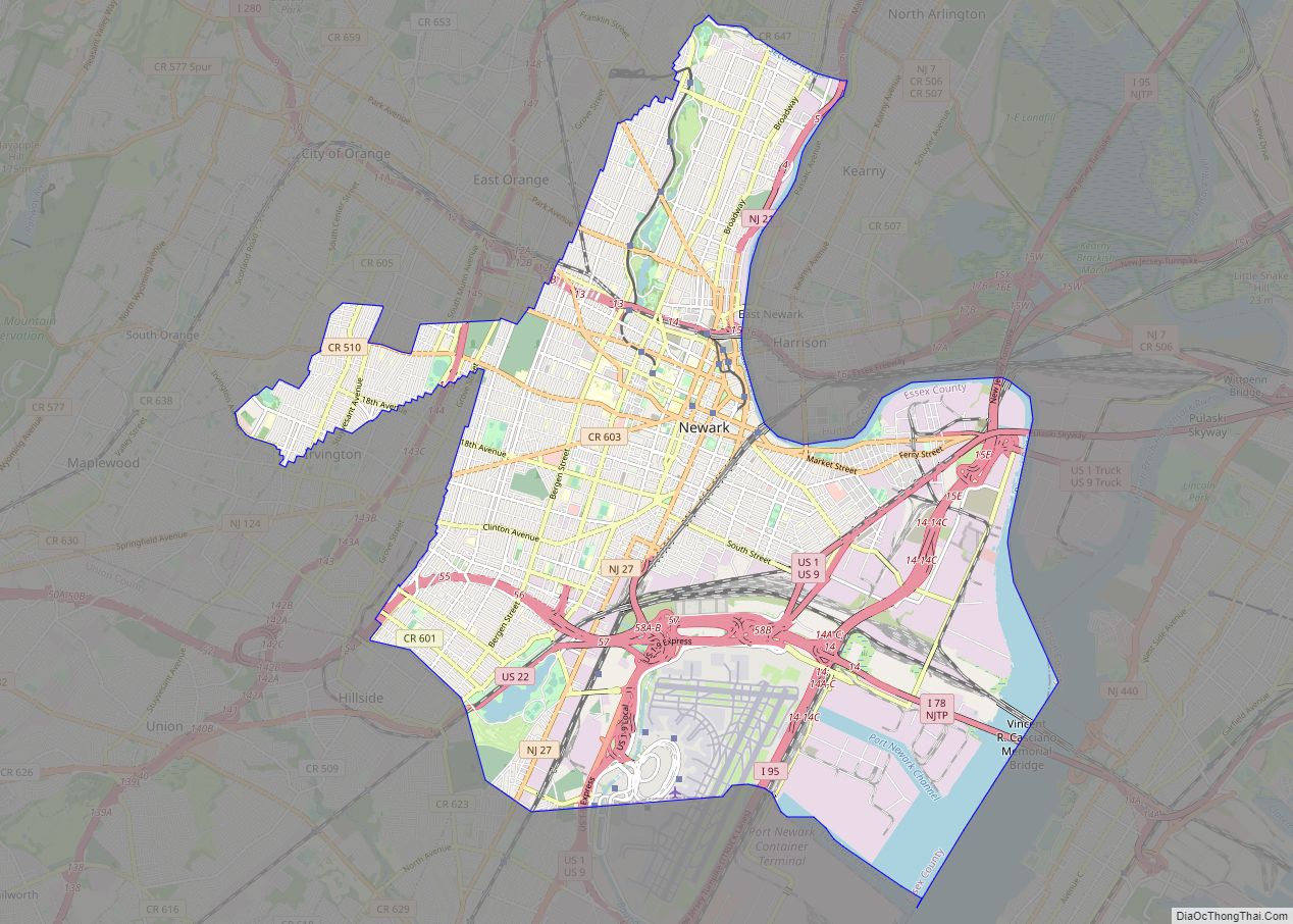
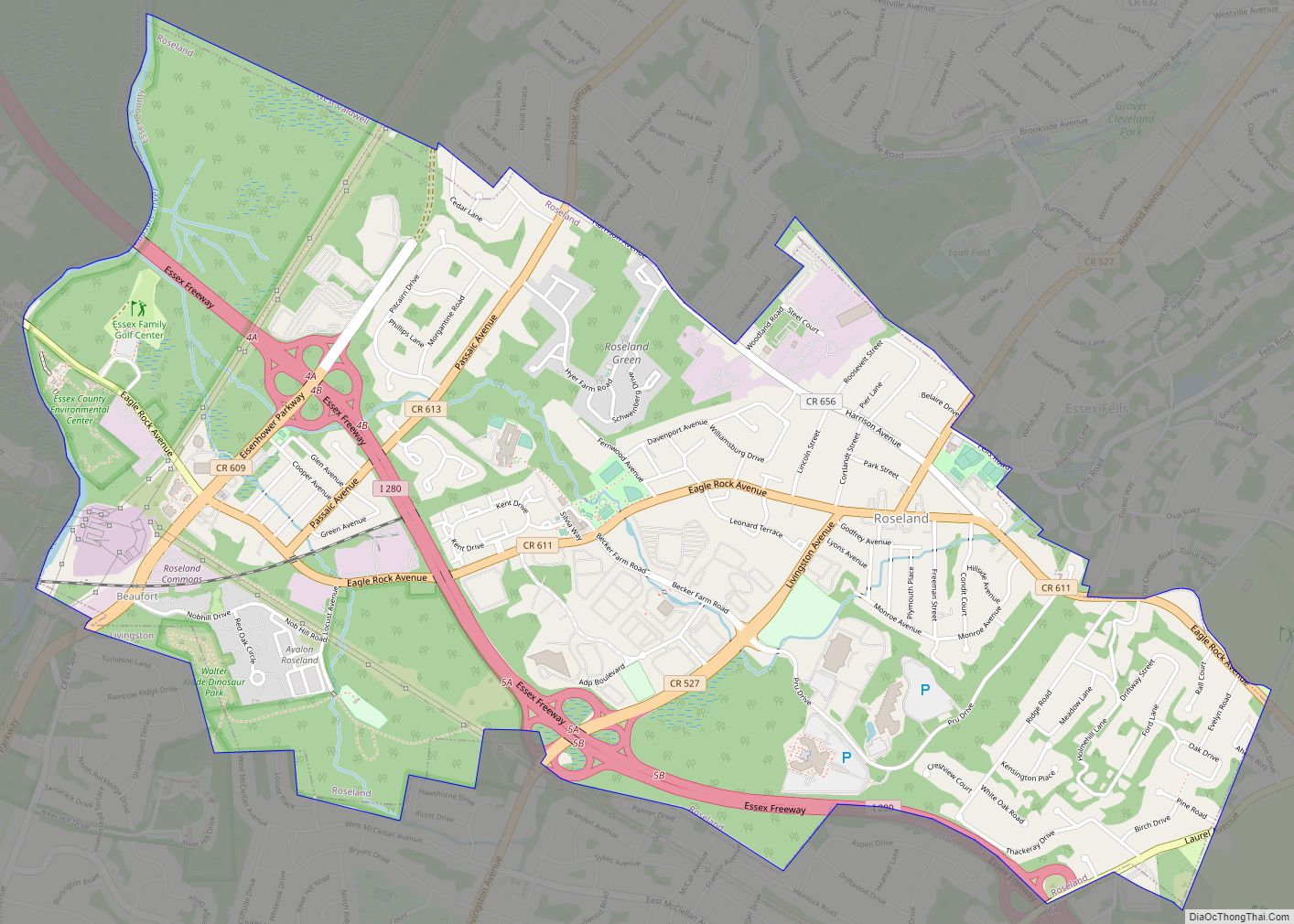
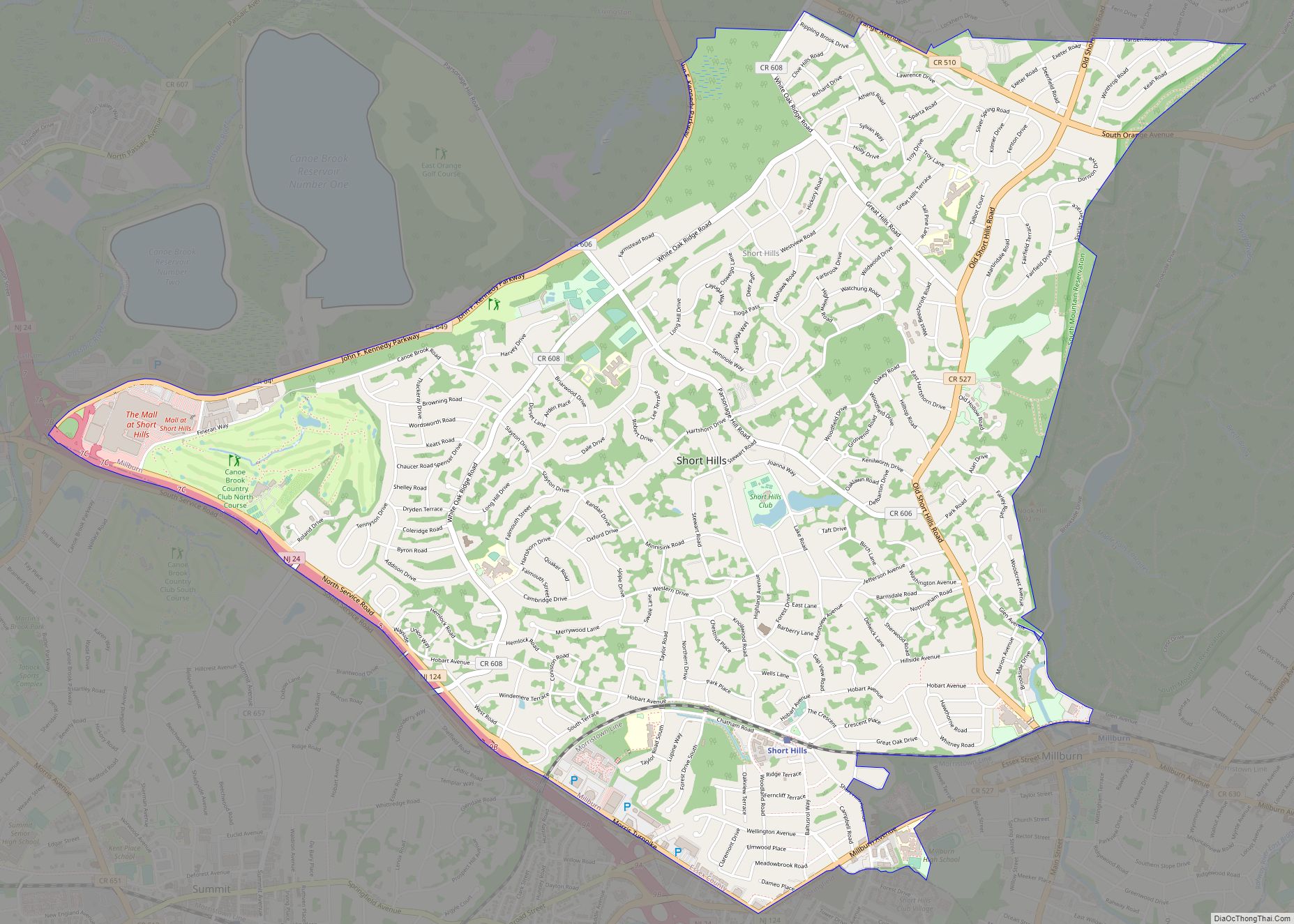
East Orange shares borders with the Essex County municipalities of Newark to the east and south, South Orange to the southwest, Orange to the west, and Glen Ridge and Bloomfield to the north.
Unincorporated communities, localities and place names located partially or completely within the city include Ampere and Brick Church.
Neighborhoods
East Orange is officially divided into five wards, but is also unofficially divided into a number of neighborhoods, still with many well maintained streets and homes.
- Ampere: Anchored by the now defunct train station of the same name, The Ampere section was developed on land owned by Orange Water Works, after the construction of the Crocker Wheeler Company plant spurred development in the area. The station was named in honor of André-Marie Ampère, a pioneer in electrodynamics and reconstructed as a new Renaissance Revival station in 1907 and 1908. Roughly bounded by Bloomfield to the North, Lawton Street & Newark to the east, 4th Avenue to the south, and North Grove Street to the West.
- Greenwood (Teen Streets): So named after Greenwood Avenue and the “teen” streets that run through it. It is often grouped together with Ampere. This area was severely disturbed by the construction of Interstate 280 and the Garden State Parkway. The Grove Street Station of the former DL & W Railroad was located here at Grove and Main Streets. Roughly bounded by 4th Avenue to the North, North 15th Street/Newark to the East, Eaton Place/NJ Transit Morris & Essex Lines, and North Grove Street to the West.
- Presidential Estates: Recently designated due to the streets in this area being named after early presidents of the United States. There are many large well kept homes situated on streets lined with very old, very large shade trees in this neighborhood that are characteristic of the northern section of the city. Roughly Bounded by Bloomfield to the North, Montclair-Boonton Line and North Grove Street to the East, Springdale Avenue to the South and the Garden State Parkway to the West.
- Elmwood: Located in the southeastern part of the city. Elmwood Park serves this section of the city, with 7 tennis courts on Rhode Island Avenue, a basketball court on the corner of Elmwood Avenue and Oak Street, a swimming pool with a pool house, a walking track, a baseball field, a softball field and a renovated field house. The area holds one of the surviving Carnegie Libraries, the Elmwood Branch of the East Orange Public Library, opened in 1912.
- Doddtown (Franklin): Named after John Dodd who founded and surveyed the area of the “Watsessing Plain”. The former campus of Upsala College is located here. It was converted into the new East Orange Campus High School on the east side of Prospect Street, and an adjacent new housing subdivision. Roughly bounded by Bloomfield to the North, the Garden State Parkway to the East, Park Avenue to the South and Orange to the West.
See also
Map of New Jersey State and its subdivision: Map of other states:- Alabama
- Alaska
- Arizona
- Arkansas
- California
- Colorado
- Connecticut
- Delaware
- District of Columbia
- Florida
- Georgia
- Hawaii
- Idaho
- Illinois
- Indiana
- Iowa
- Kansas
- Kentucky
- Louisiana
- Maine
- Maryland
- Massachusetts
- Michigan
- Minnesota
- Mississippi
- Missouri
- Montana
- Nebraska
- Nevada
- New Hampshire
- New Jersey
- New Mexico
- New York
- North Carolina
- North Dakota
- Ohio
- Oklahoma
- Oregon
- Pennsylvania
- Rhode Island
- South Carolina
- South Dakota
- Tennessee
- Texas
- Utah
- Vermont
- Virginia
- Washington
- West Virginia
- Wisconsin
- Wyoming