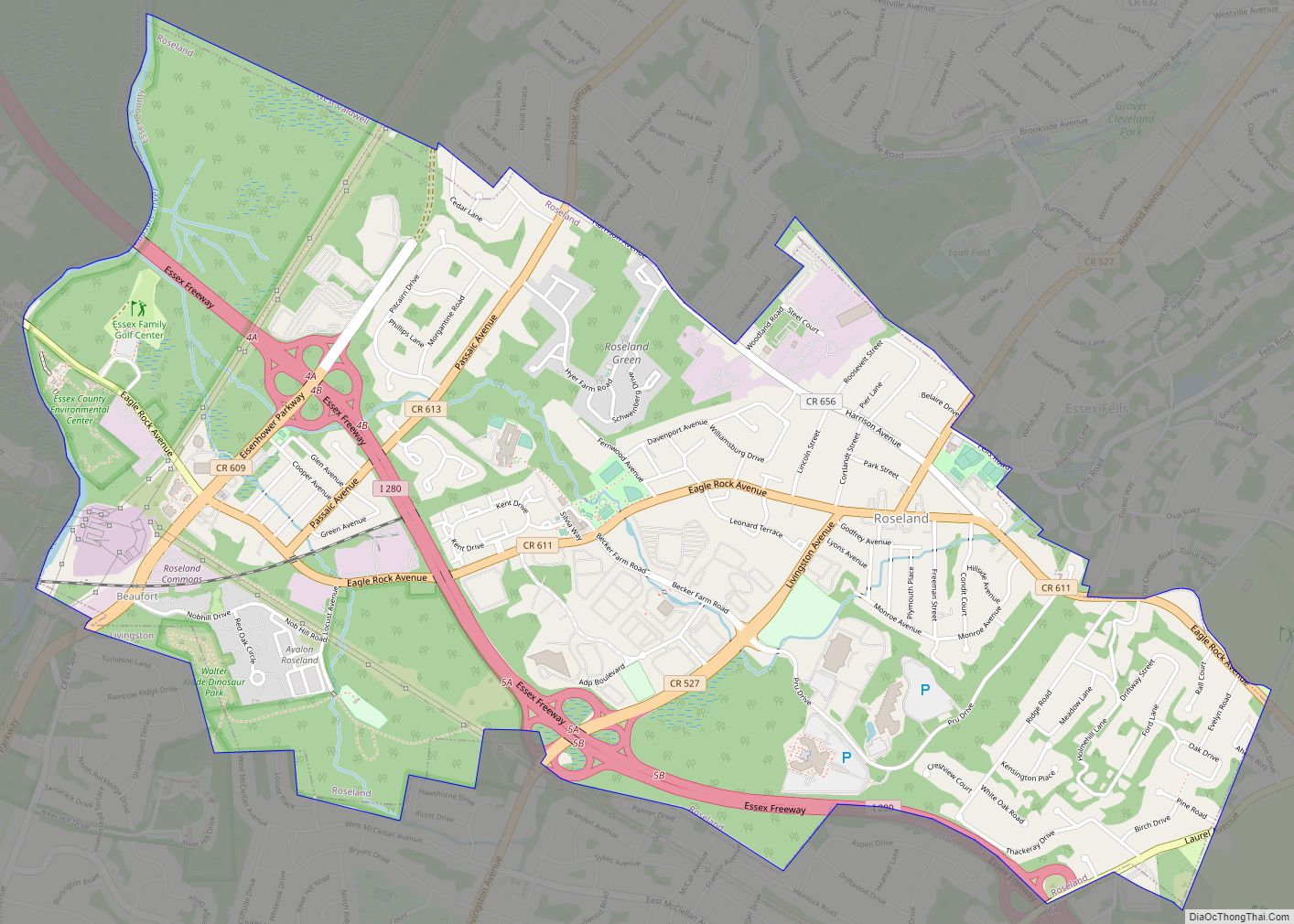
Short Hills is an unincorporated community located within Millburn Township, in Essex County, in the U.S. state of New Jersey. It is a commuter town for residents who work in New York City. As of the 2020 U.S. census, Short Hills’ population was 14,422. For statistical purposes, the United States Census Bureau has defined Short Hills as a census-designated place (CDP).
In the Forbes magazine’s rankings of the Most Expensive ZIP Codes in the United States, Short Hills was listed among the top 100 nationwide, coming in 66th in 2006 (with a median sale price of $1,200,000) and 67th in 2012 (median of $1,951,846).
Short Hills is home to the upscale Mall at Short Hills, also known as the Short Hills Mall, located near affluent communities in neighboring Morris and Union counties along the Passaic River.
| Name: | Short Hills CDP |
|---|---|
| LSAD Code: | 57 |
| LSAD Description: | CDP (suffix) |
| State: | New Jersey |
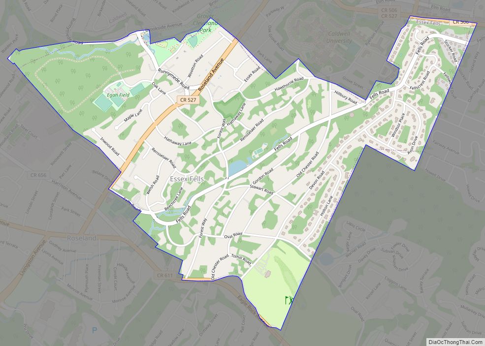
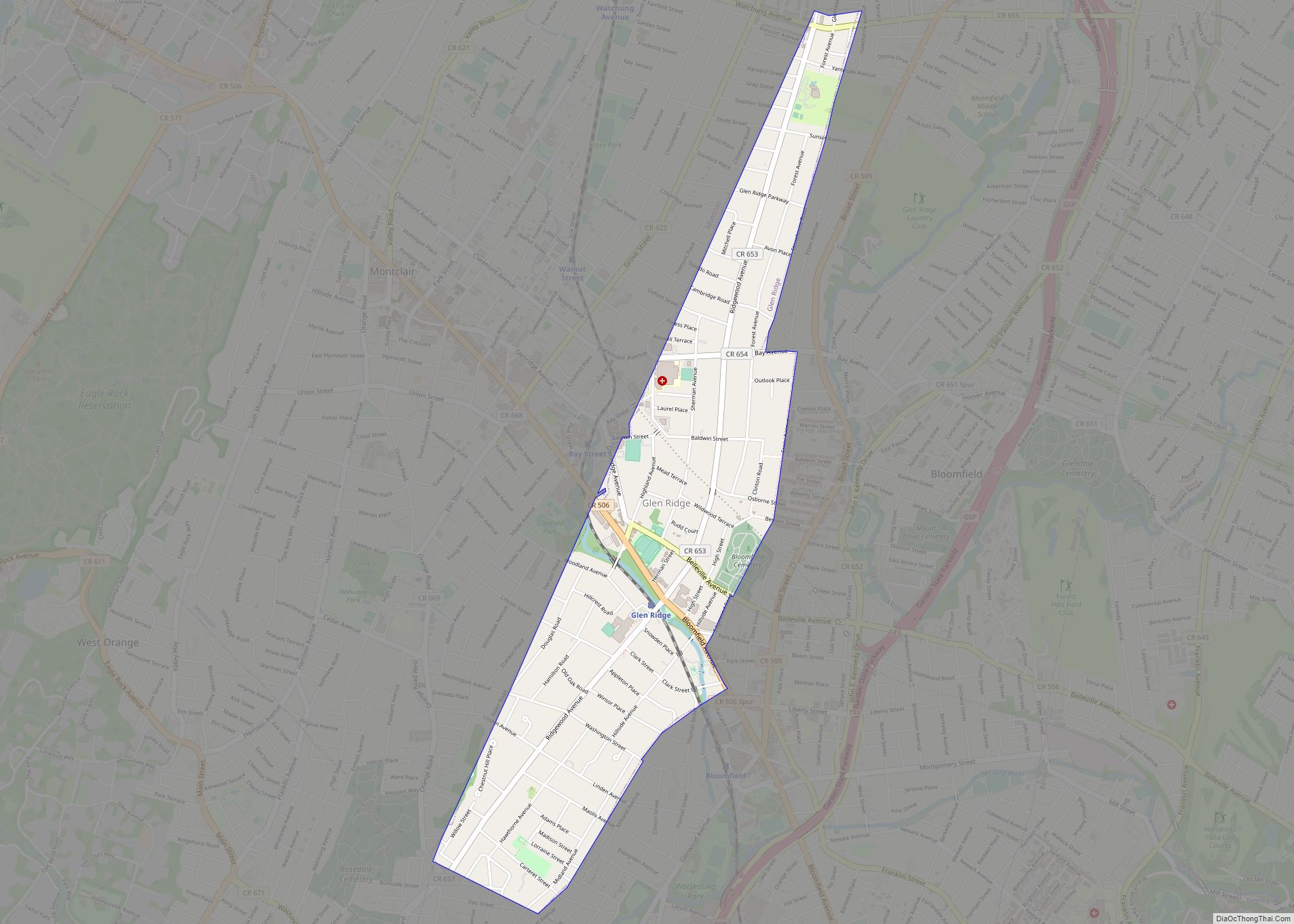
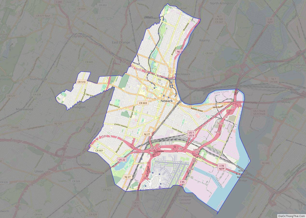
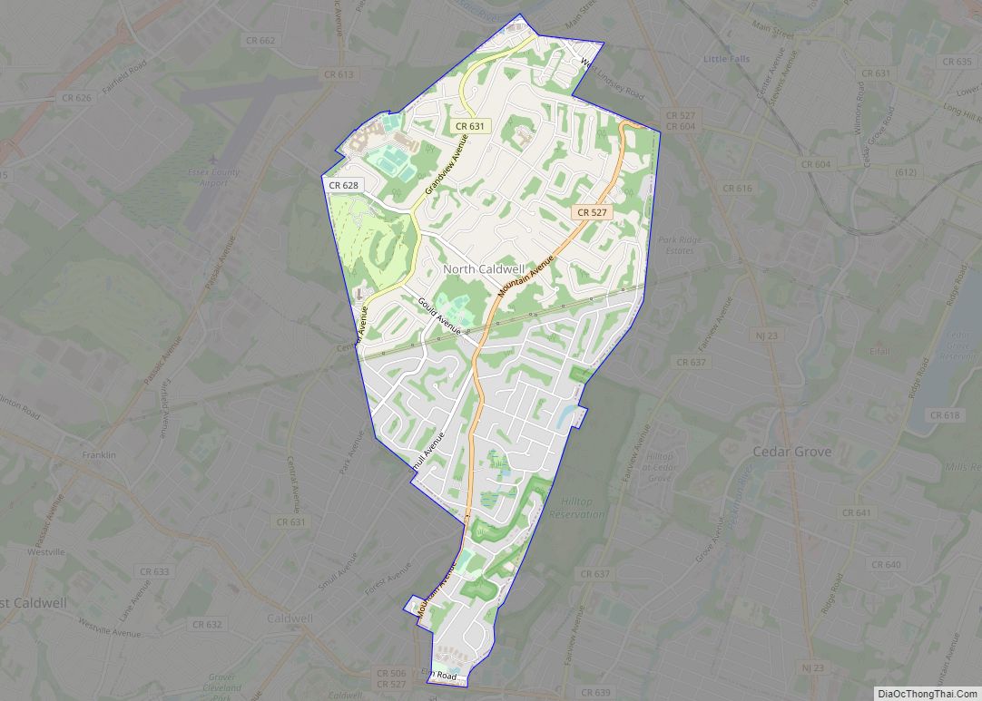
| County: | Essex County |
| Elevation: | 377 ft (115 m) |
| Total Area: | 5.27 sq mi (13.64 km²) |
| Land Area: | 5.26 sq mi (13.61 km²) |
| Water Area: | 0.01 sq mi (0.03 km²) 0.29% |
| Total Population: | 14,422 |
| Population Density: | 2,743.39/sq mi (1,059.29/km²) |
| ZIP code: | 07078 |
| FIPS code: | 3467320 |
| GNISfeature ID: | 02584025 |
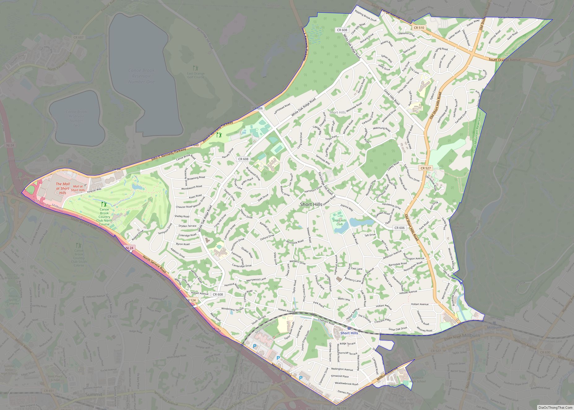
Online Interactive Map
Click on ![]() to view map in "full screen" mode.
to view map in "full screen" mode.
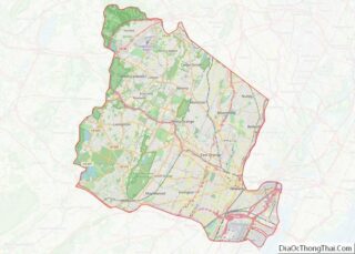
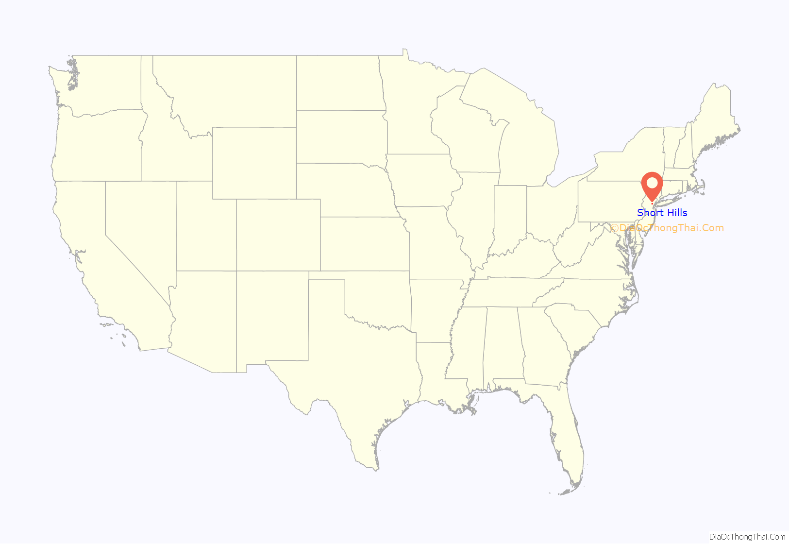
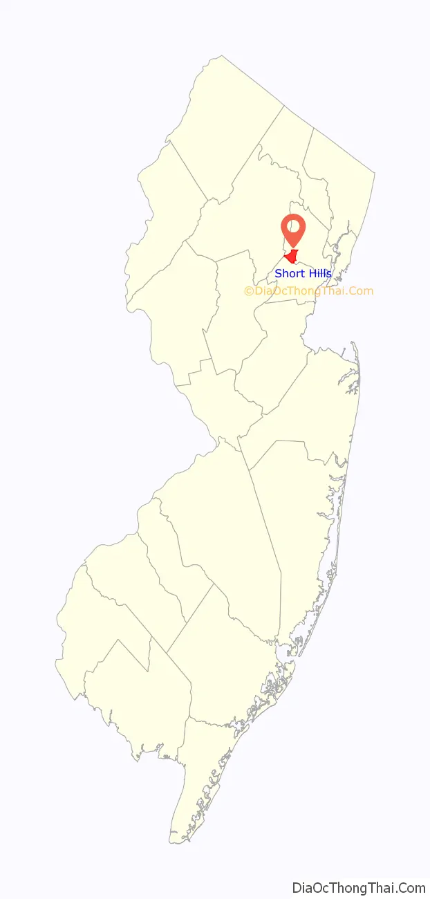
Short Hills location map. Where is Short Hills CDP?
History
18th century
The area that became Short Hills was initially part of Springfield Township, and its eponymous hills are thought to have played a role in the movement of the Continental Army under George Washington during the Battle of Springfield. While troops may have been present in the area, the Battle of Short Hills (June 26, 1777) took place in Scotch Plains and Metuchen.
Short Hills began as a planned community when Stewart Hartshorn, who became wealthy from developing, perfecting and manufacturing the self-acting shade roller, purchased 13 acres (53,000 m) of land in Millburn Township, near the present Hobart Avenue, Parsonage Hill Road, and Chatham Road. Hartshorn’s purpose was to create “a harmonious community for people who appreciated nature,” and “where natural beauty would not be destroyed by real estate developments, and where people of congenial tastes could dwell together.” He later increased his land holdings to 56 acres (230,000 m) for himself and 1,552 acres (6.28 km) for the whole village, with each plot not owned by Hartshorn being no larger than 1/2 acre.
Hartshorn chose the name “Short Hills” because it reflected the topography of the region, and also because the local Lenape Native Americans used that same name to describe the region. One local resident suggested that he call his village “Hartshornville,” but he refused, quietly content with Short Hills sharing his initials.
19th century
Hartshorn situated his ideal town near enough to a railroad to allow for an easy commute to Hoboken and, from there, to New York City. Hence, his decision in 1879 to build, at his own expense, a railroad station along the original Morris and Essex Railroad line. He also persuaded the United States Post Office to open a branch in his new railroad station in 1880, and in fact, the Post Office has always had a presence in Short Hills from that day and its own ZIP Code, 07078.
Hartshorn deliberately preserved strips of land along the railroad right-of-way from any development west of Old Short Hills Road. These strips separate Hobart Avenue to the north, and Chatham Road to the south, from the railway line. The only structure that has ever stood directly adjacent to the line is the railroad station.
20th century
In 1944, the Hartshorn family also donated Crescent Park to Millburn Township, directly across from the station, with the stipulation that the park always remain open to the public.
After 17 houses were erected, Hartshorn turned his attention to other common elements, including a music hall, which later became the Short Hills Racquets Club.
Stewart Hartshorn died in 1937 at the age of 97. His daughter Cora survived him, wrote her own history of the hamlet, and helped establish the Arboretum that bears her name.
In 1968, Temple B’nai Jeshurun relocated from Newark, New Jersey, to a 21-acre (8.5 ha) site in Short Hills. It is the oldest Reform Jewish congregation in New Jersey and, with 1,100 member families, one of the largest Jewish congregations in the state at the time of the move. Most of the property was purchased from Congressman Robert Kean, father of future New Jersey governor Thomas Kean. The land had been given to Kean’s family by King George III of the United Kingdom.
In 1975, the Millburn-Short Hills Historical Society formed in conjunction with the American Bicentennial celebrations. The opening of the Kearny Connection in 1996, establishing direct rail service to Penn Station in Midtown Manhattan, enhanced real-estate values immensely.
21st century
In 2001, the Christopher and Dana Reeve Paralysis Resource Center opened in Short Hills.
In 2002, local residents planted a memorial tree on the grounds of the railroad station, to honor those of their neighbors who died in the attacks on September 11, 2001.
In 2011, the historic Greenwood Gardens opened to the public. It is one of sixteen garden preservation projects in the United States overseen by the Garden Conservancy.
The median family income was over $200,000 in the 2010 census. Dun & Bradstreet has its headquarters in Short Hills.
Short Hills has five K-4 elementary schools that are part of the Millburn Township Public Schools: Deerfield Elementary School, Glenwood Elementary School, Hartshorn Elementary School, South Mountain Elementary School and Wyoming Elementary School. For fifth grade, students attend the Washington School. Students move on to complete their public school education at Millburn Middle School for grades 6–8 and Millburn High School for grades 9–12. Short Hills is also home to a private day school, Far Brook School, which serves students in nursery through eighth grade, and Pingry School Lower Campus for grades K-5.
Though Short Hills has its own railroad station and post office branch, it does not have an independent government. It remains today a part of the Township of Millburn, and has been a part of it since its inception. Short Hills has a downtown business area that is smaller than downtown Millburn. Located along Chatham Road near the Short Hills station, it includes the post office, a pharmacy, small eateries, and specialty shops. The train station waiting room operates as a bar and grill during the evening hours and a newsstand and ticket agent are present from early morning hours until noon.
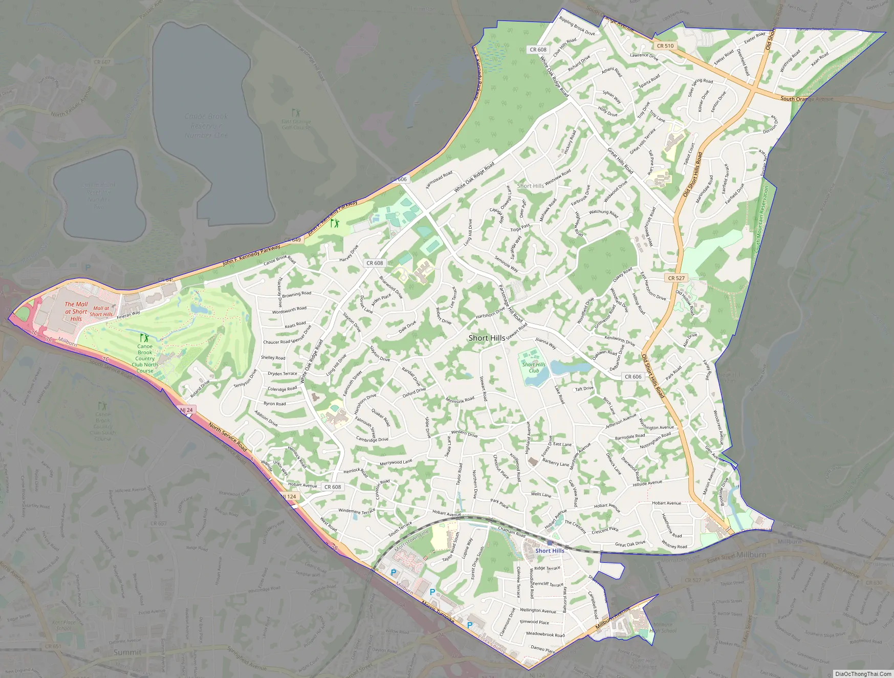
Short Hills Road Map
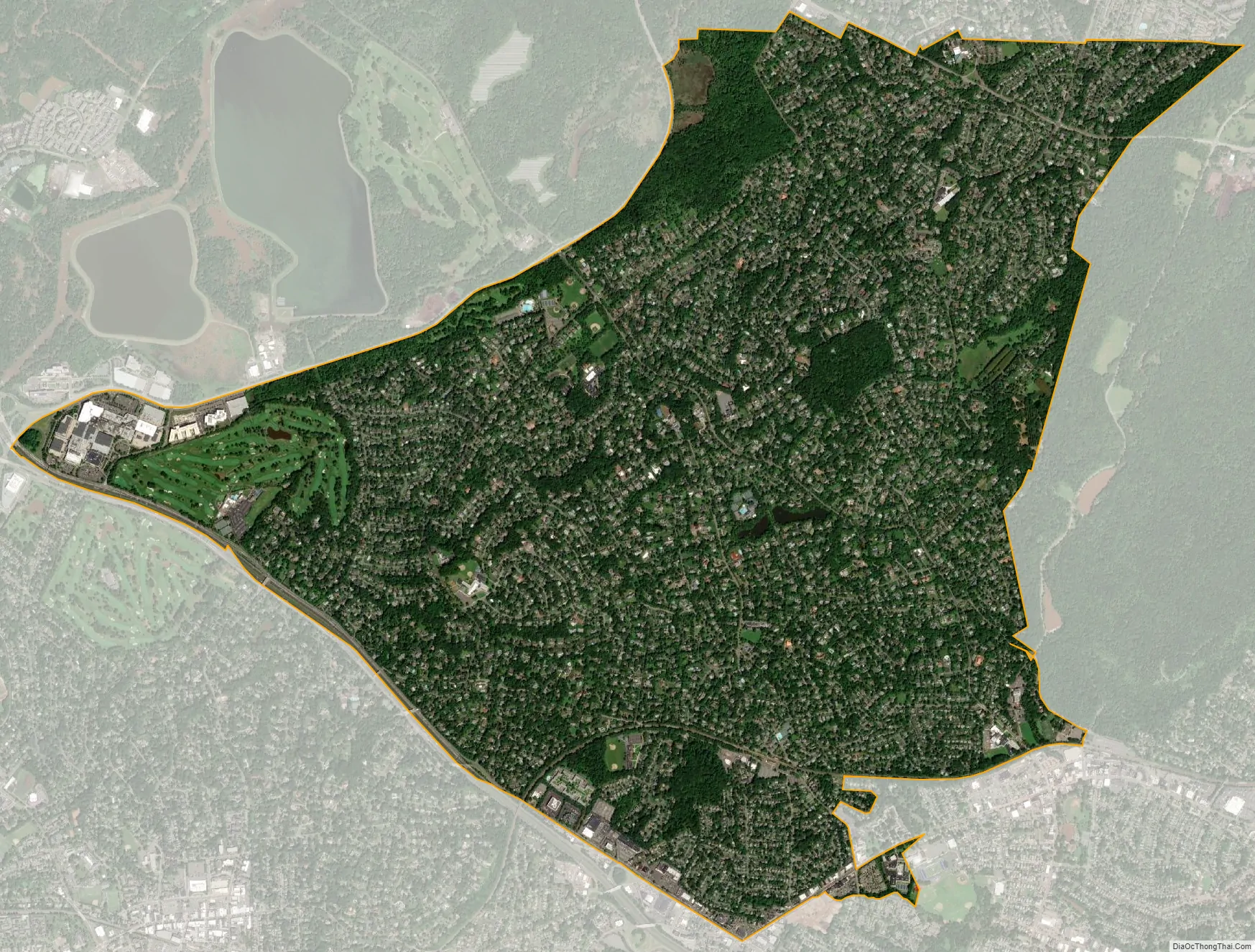
Short Hills city Satellite Map
Geography
According to the U.S. Census Bureau, Short Hills had a total area of 5.211 square miles (13.497 km), including 5.196 square miles (13.459 km) of land and 0.015 square miles (0.039 km) of water (0.29%).
Climate
The climate in this area is characterized by hot, humid summers and generally cool to cold winters. According to the Köppen Climate Classification system, Short Hills has a humid continental climate, abbreviated “Dfa” on climate maps.
See also
Map of New Jersey State and its subdivision: Map of other states:- Alabama
- Alaska
- Arizona
- Arkansas
- California
- Colorado
- Connecticut
- Delaware
- District of Columbia
- Florida
- Georgia
- Hawaii
- Idaho
- Illinois
- Indiana
- Iowa
- Kansas
- Kentucky
- Louisiana
- Maine
- Maryland
- Massachusetts
- Michigan
- Minnesota
- Mississippi
- Missouri
- Montana
- Nebraska
- Nevada
- New Hampshire
- New Jersey
- New Mexico
- New York
- North Carolina
- North Dakota
- Ohio
- Oklahoma
- Oregon
- Pennsylvania
- Rhode Island
- South Carolina
- South Dakota
- Tennessee
- Texas
- Utah
- Vermont
- Virginia
- Washington
- West Virginia
- Wisconsin
- Wyoming