Geneva is a city in and the county seat of Geneva County, Alabama, United States. It was incorporated in 1875. It is part of the Dothan, Alabama Metropolitan Statistical Area. Since 1940, it has been the largest city of Geneva County, and had a population of 4,292 as of the 2020 census.
| Name: | Geneva city |
|---|---|
| LSAD Code: | 25 |
| LSAD Description: | city (suffix) |
| State: | Alabama |
| County: | Geneva County |
| Elevation: | 95 ft (29 m) |
| Total Area: | 16.07 sq mi (41.62 km²) |
| Land Area: | 15.88 sq mi (41.13 km²) |
| Water Area: | 0.19 sq mi (0.49 km²) |
| Total Population: | 4,245 |
| Population Density: | 267.28/sq mi (103.20/km²) |
| ZIP code: | 36340 |
| Area code: | 334 |
| FIPS code: | 0129464 |
| GNISfeature ID: | 0118889 |
| Website: | www.cityofgeneva.com |
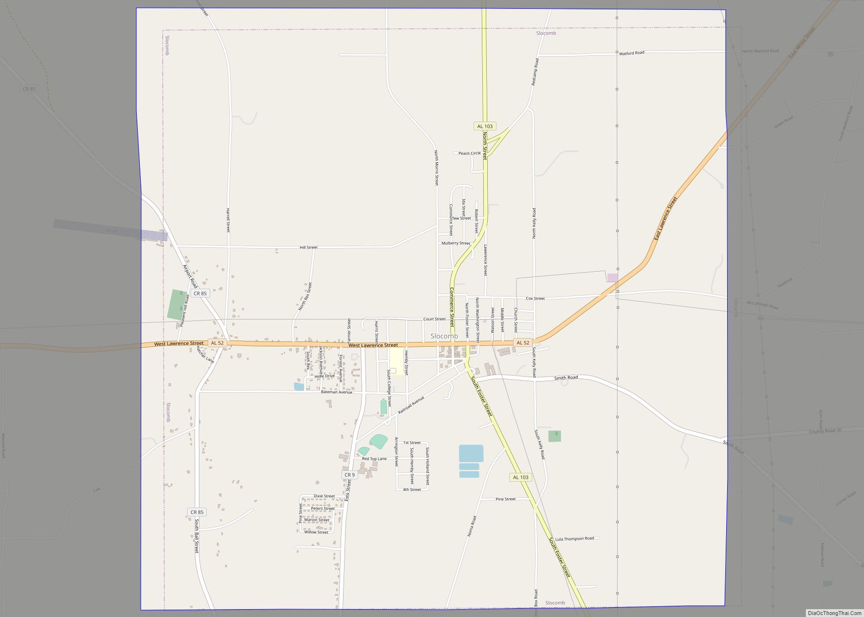
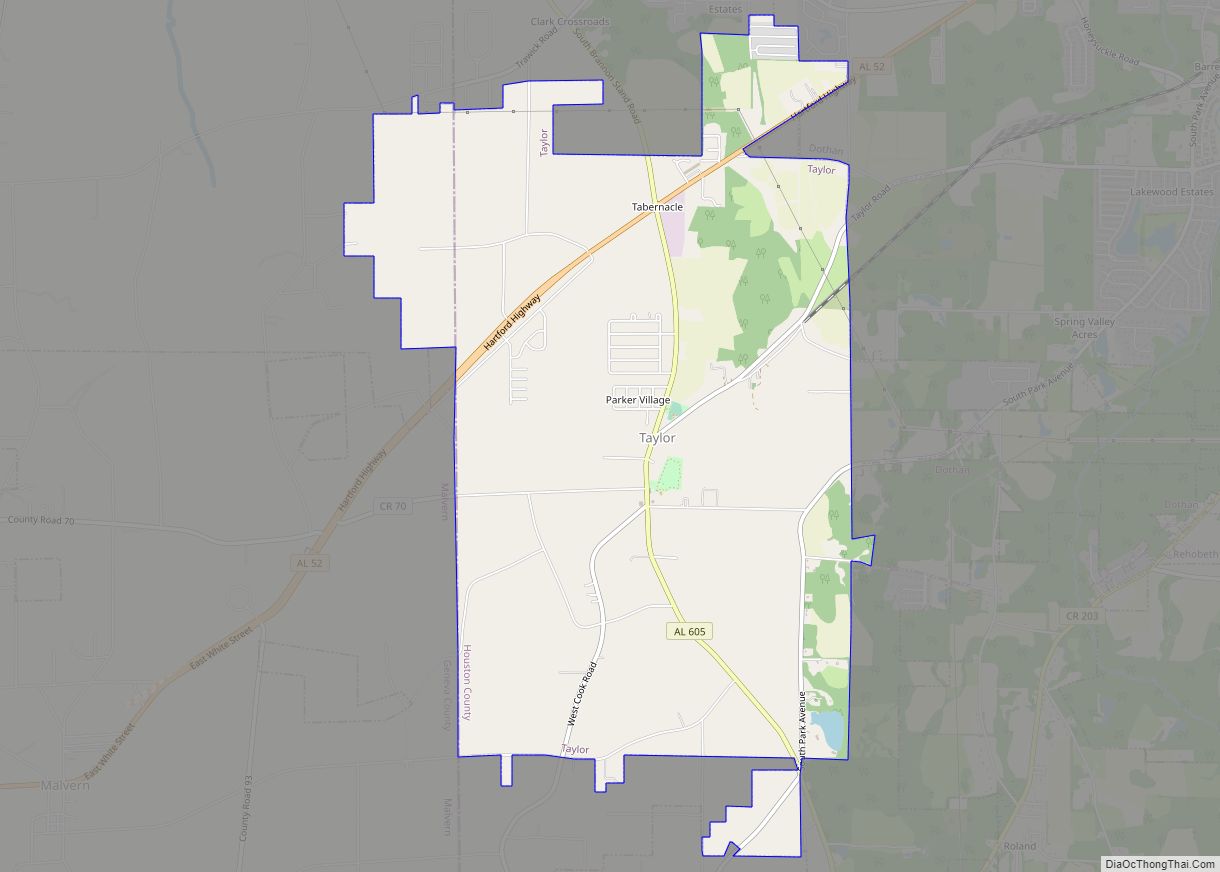
Online Interactive Map
Click on ![]() to view map in "full screen" mode.
to view map in "full screen" mode.
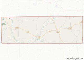
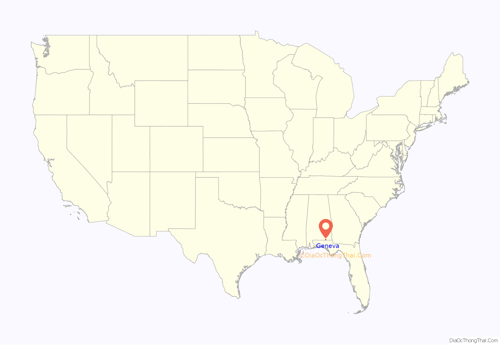
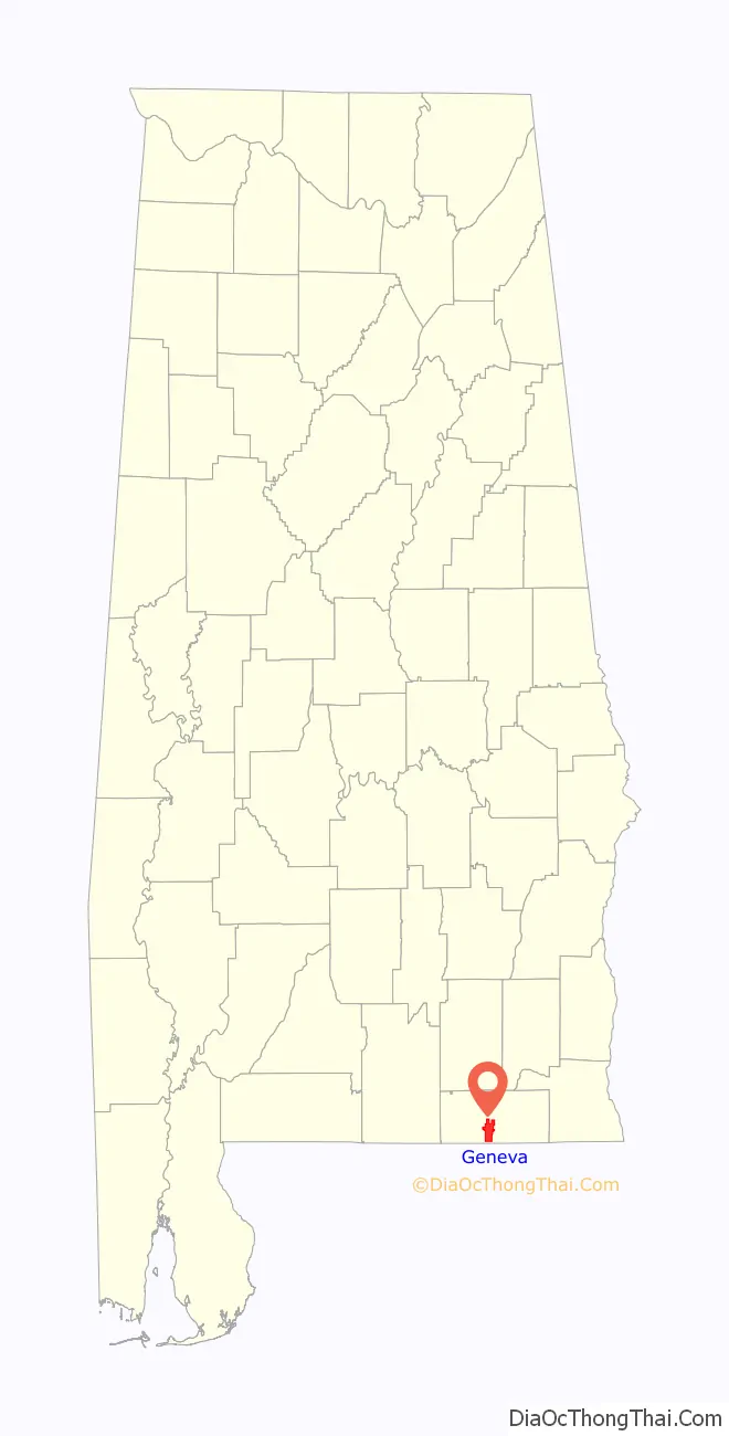
Geneva location map. Where is Geneva city?
History
In late December 1862, the stern-wheel steamship Bloomer was in port on the Choctawhatchee River in Geneva. She was captured by a group of Union troops from the 91st New York Volunteers led by Lieutenant James H. Stewart. The Bloomer was then taken to Pensacola, Florida.
On March 10, 2009, in the Alabama towns of Kinston, Samson and Geneva, Michael McLendon went on a shooting rampage, killing ten people and wounding six more before committing suicide.
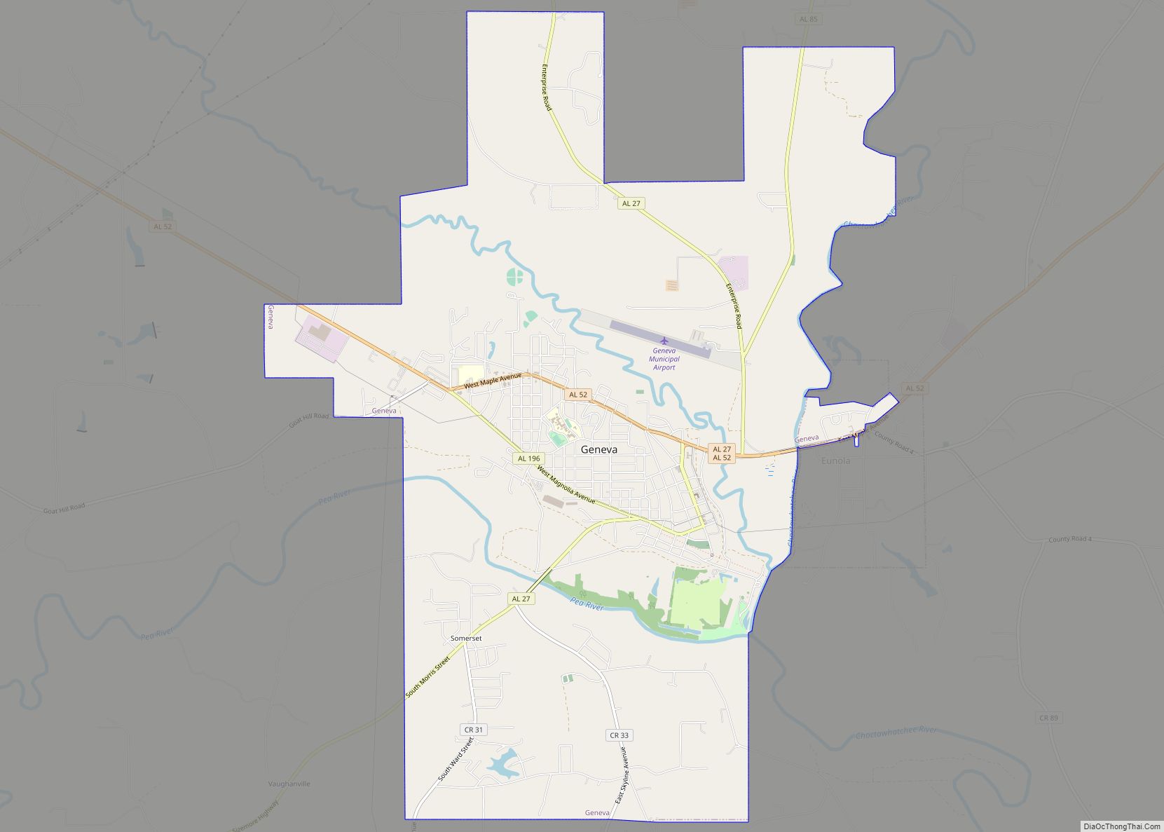
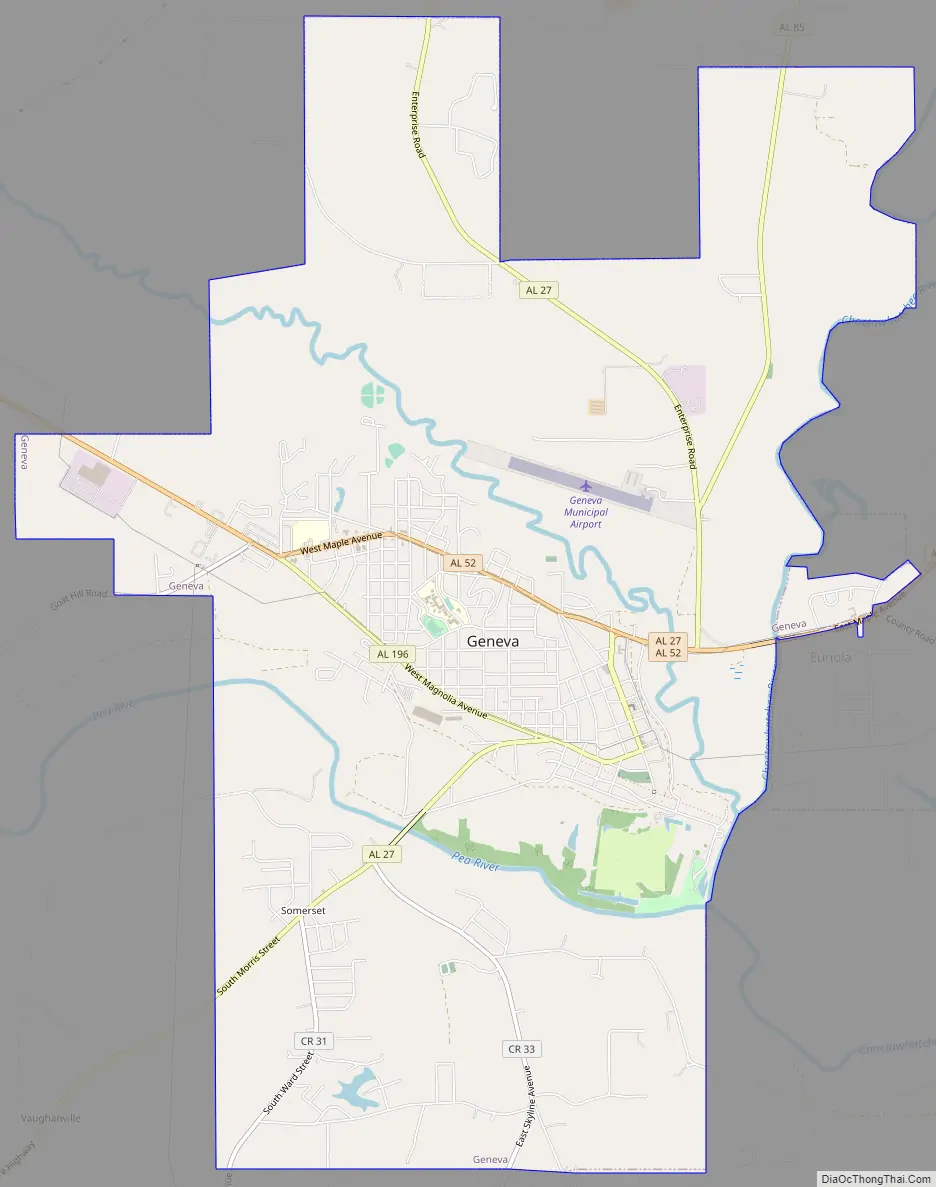
Geneva Road Map
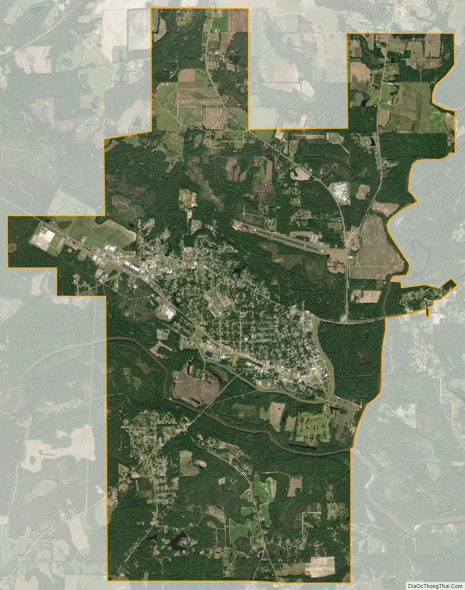
Geneva city Satellite Map
Geography
Geneva is located south of the center of Geneva County at 31°2′17″N 85°52′36″W / 31.03806°N 85.87667°W / 31.03806; -85.87667 (31.038181, -85.876677), at the confluence of the Pea River with the Choctawhatchee River. Alabama State Route 52 passes through the city north of downtown, leading northeast 11 miles (18 km) to Hartford and northwest 12 miles (19 km) to Samson. Dothan is 34 miles (55 km) to the northeast via Route 52. Alabama State Route 27 passes through the center of Geneva, leading north 22 miles (35 km) to Enterprise and southwest 5 miles (8 km) to the Florida border.
According to the U.S. Census Bureau, the city has a total area of 16.1 square miles (41.6 km), of which 15.9 square miles (41.1 km) is land and 0.2 square miles (0.5 km), or 1.17%, is water. The Choctawhatchee River forms the eastern border of the city, flowing south to Choctawhatchee Bay in Florida, which enters the Gulf of Mexico at Destin.
See also
Map of Alabama State and its subdivision:- Autauga
- Baldwin
- Barbour
- Bibb
- Blount
- Bullock
- Butler
- Calhoun
- Chambers
- Cherokee
- Chilton
- Choctaw
- Clarke
- Clay
- Cleburne
- Coffee
- Colbert
- Conecuh
- Coosa
- Covington
- Crenshaw
- Cullman
- Dale
- Dallas
- De Kalb
- Elmore
- Escambia
- Etowah
- Fayette
- Franklin
- Geneva
- Greene
- Hale
- Henry
- Houston
- Jackson
- Jefferson
- Lamar
- Lauderdale
- Lawrence
- Lee
- Limestone
- Lowndes
- Macon
- Madison
- Marengo
- Marion
- Marshall
- Mobile
- Monroe
- Montgomery
- Morgan
- Perry
- Pickens
- Pike
- Randolph
- Russell
- Saint Clair
- Shelby
- Sumter
- Talladega
- Tallapoosa
- Tuscaloosa
- Walker
- Washington
- Wilcox
- Winston
- Alabama
- Alaska
- Arizona
- Arkansas
- California
- Colorado
- Connecticut
- Delaware
- District of Columbia
- Florida
- Georgia
- Hawaii
- Idaho
- Illinois
- Indiana
- Iowa
- Kansas
- Kentucky
- Louisiana
- Maine
- Maryland
- Massachusetts
- Michigan
- Minnesota
- Mississippi
- Missouri
- Montana
- Nebraska
- Nevada
- New Hampshire
- New Jersey
- New Mexico
- New York
- North Carolina
- North Dakota
- Ohio
- Oklahoma
- Oregon
- Pennsylvania
- Rhode Island
- South Carolina
- South Dakota
- Tennessee
- Texas
- Utah
- Vermont
- Virginia
- Washington
- West Virginia
- Wisconsin
- Wyoming