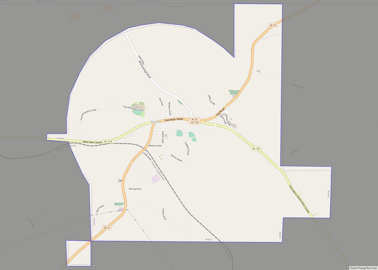
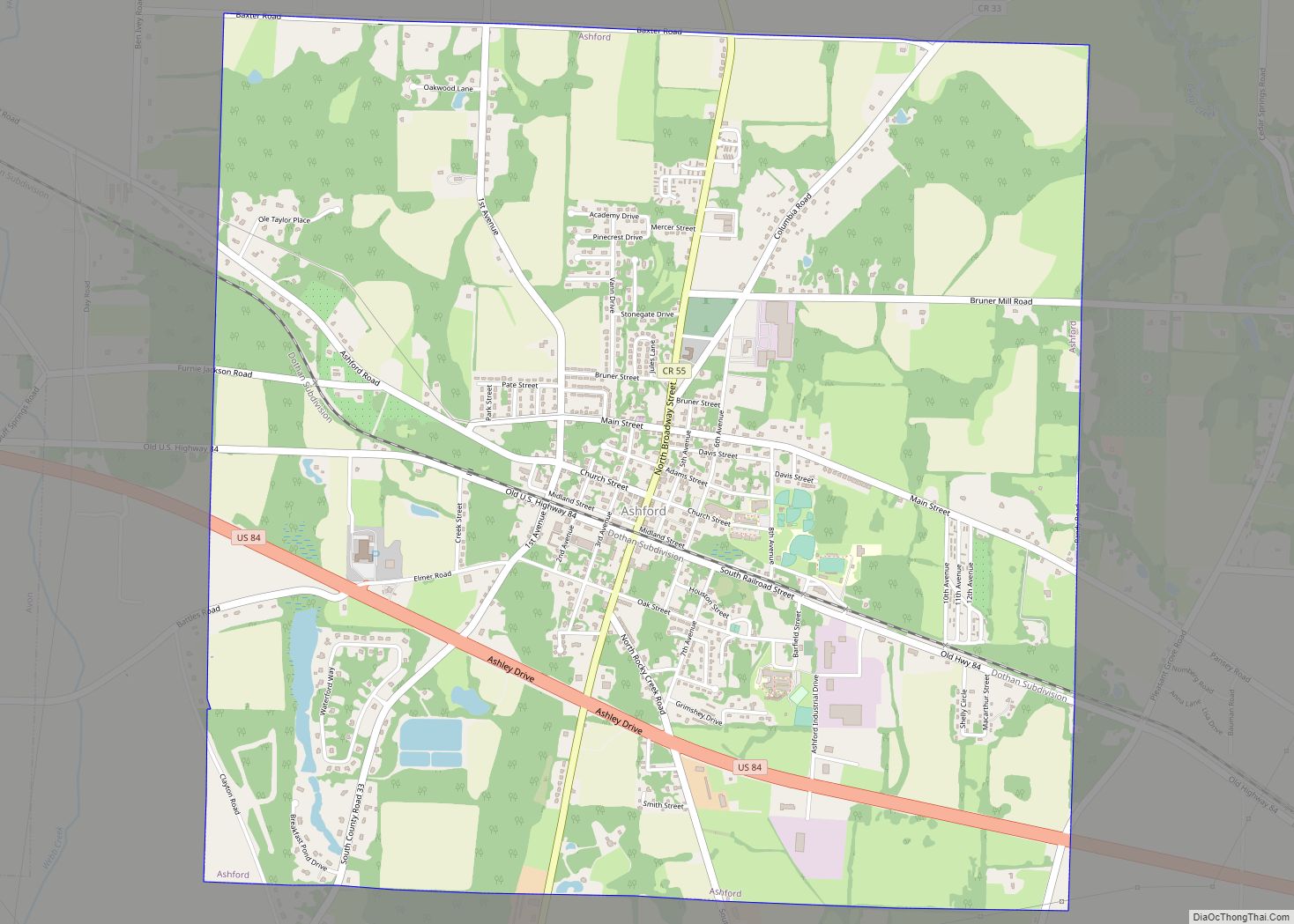
Dothan (/ˈdoʊθən/ DOH-thən) is a city in and the county seat of Houston County in the U.S. state of Alabama. A slight portion of the city extends into Dale and Henry counties. It is Alabama’s eighth-largest city, with a population of 71,072 at the 2020 census. It is near the state’s southeastern corner, about 20 miles (32 km) west of Georgia and 16 miles (26 km) north of Florida. It is named after the biblical city where Joseph’s brothers threw him into a cistern and sold him into slavery in Egypt.
Dothan is the principal city of the Dothan, Alabama metropolitan area, which encompasses all of Geneva, Henry, and Houston counties; the small portion in Dale County is part of the Ozark Micropolitan Statistical Area. Together they form the Dothan-Ozark Combined Statistical Area. Coffee County and its Enterprise micropolitan area was originally combined as a statistical area with both Dothan and Ozark as well, but is now split off as its own statistical area by the US Census Bureau. Together they form the Wiregrass region, of which Dothan is the Alabama portion’s largest city. The combined population of the entire Dothan metropolitan area in 2010 was 145,639. The city is the main transportation and commercial hub for a significant part of southeastern Alabama, southwest Georgia, and nearby portions of the Florida Panhandle. Since approximately one-fourth of the U.S. peanut crop is produced nearby, much of it processed in the city, Dothan is known as “The Peanut Capital of the World”. It also hosts the annual National Peanut Festival at the Peanut Festival Fairgrounds.
| Name: | Dothan city |
|---|---|
| LSAD Code: | 25 |
| LSAD Description: | city (suffix) |
| State: | Alabama |
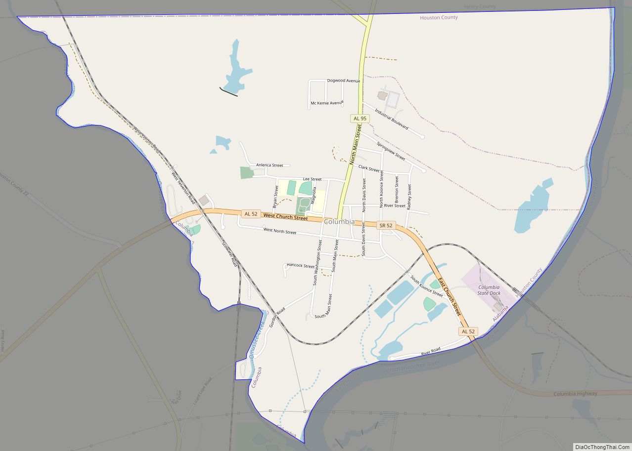
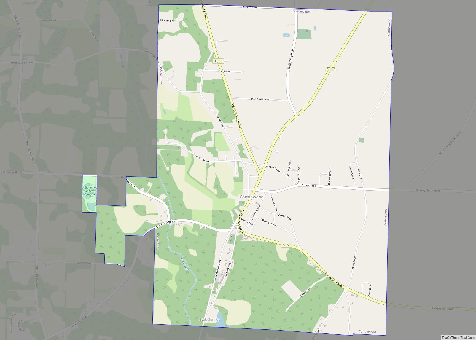
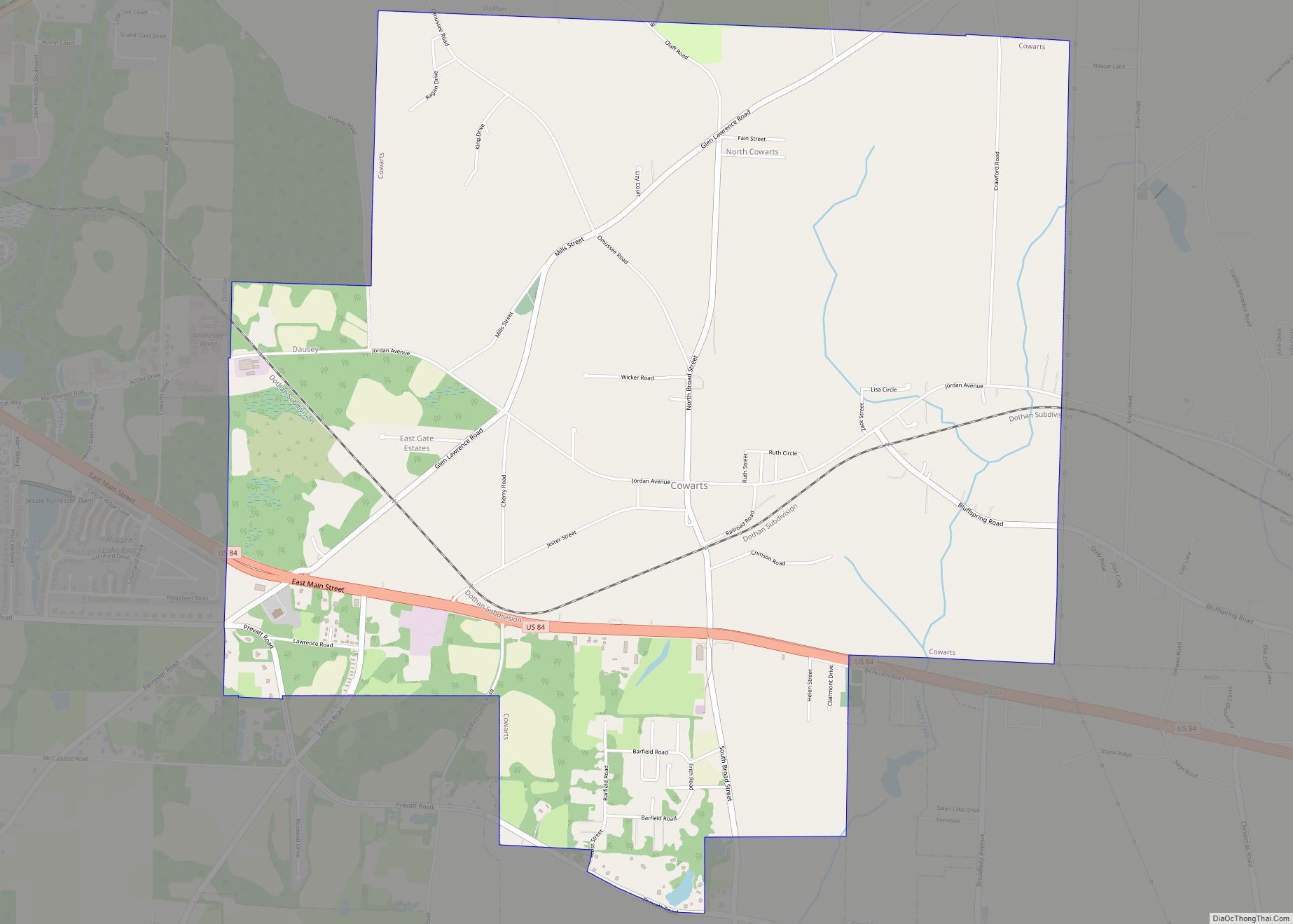
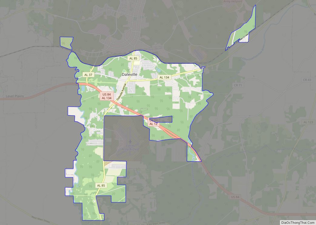
| County: | Dale County, Henry County, Houston County |
| Total Area: | 90.16 sq mi (233.53 km²) |
| Land Area: | 89.84 sq mi (232.68 km²) |
| Water Area: | 0.33 sq mi (0.84 km²) |
| Total Population: | 71,072 |
| Population Density: | 791.10/sq mi (305.45/km²) |
| FIPS code: | 0121184 |
| Website: | www.dothan.org |
Online Interactive Map
Click on ![]() to view map in "full screen" mode.
to view map in "full screen" mode.
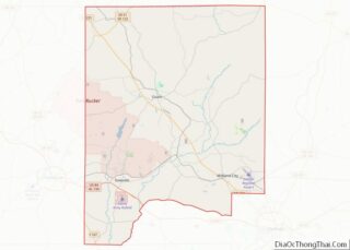
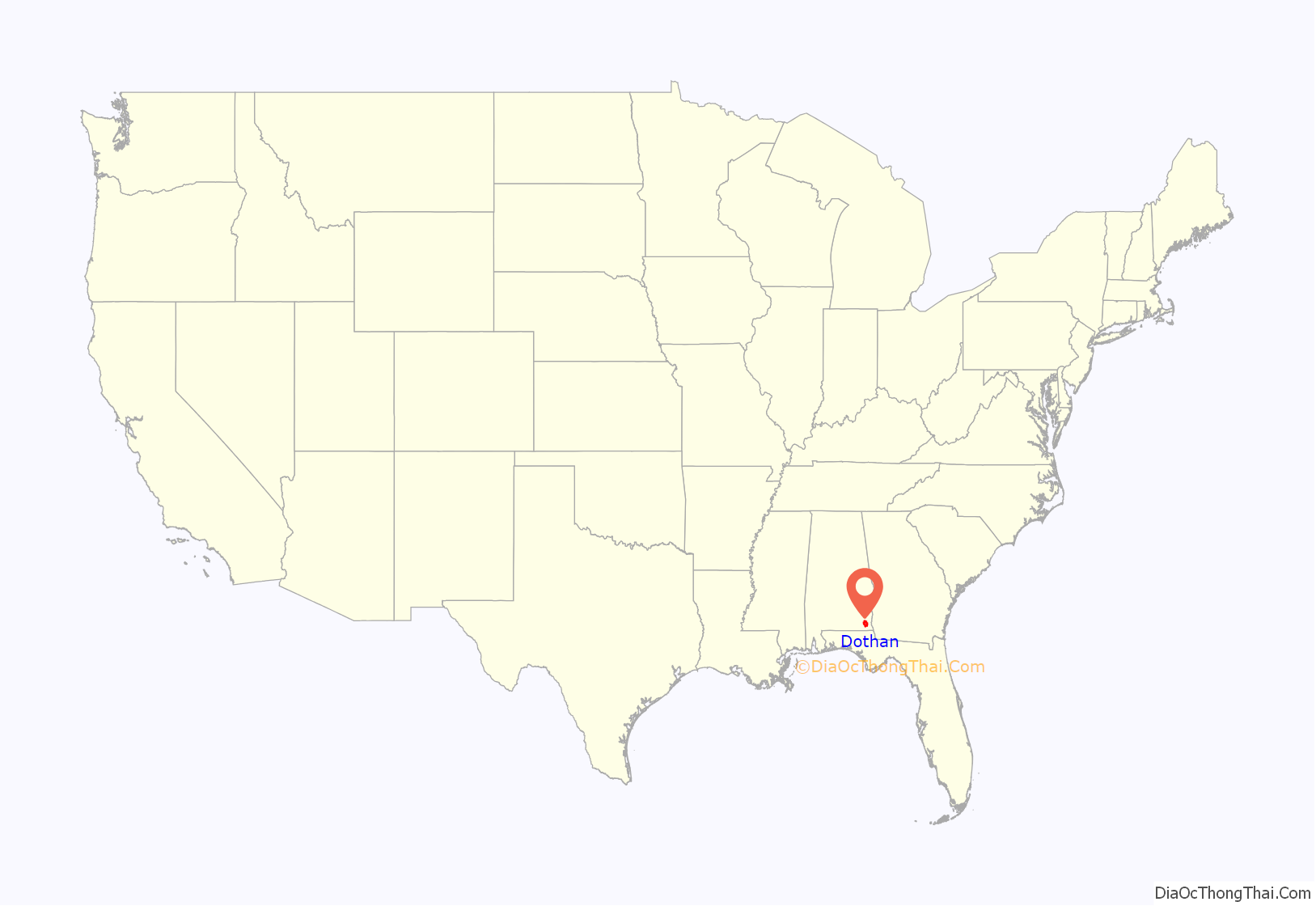
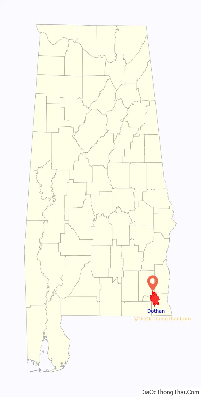
Dothan location map. Where is Dothan city?
History
Earliest years
Between 1763 and 1783, the region that is now Dothan was part of the colony of British West Florida.
The first permanent white settlers consisted of nine families who moved into the area during the early 1830s to harvest the abundant timber. Their settlement, named Poplar Head after the spring, failed to thrive. It was all but abandoned by the time of the Civil War. After the war, a local Pony Express route was founded; together with other developments during the Reconstruction Era, the town began to grow. On November 11, 1885, the citizens voted to incorporate, naming their new city Dothan at the suggestion of a local clergyman after discovering that “Poplar Head” was already registered with the U.S. post office for a town in northern Alabama.
Civil unrest
On October 12, 1889, Dothan was the scene of a deadly altercation resulting from a dispute over a tax levied on wagons operating within city limits. Local farmers opposed the levy and united in a body called the “Farmers Alliance”. The arrest of some of the alliance’s men led to a riot that left two men dead and others seriously wounded. Chief of Police Tobe Domingus was found guilty of murder and sentenced to ten years in prison. Appeals to the Alabama Supreme Court resulted in a new trial, and Domingus was acquitted.
Expansion and growth
Farmers turned to peanut production, which was successful and brought financial gain to the city. It became a hub for the production and transport of peanuts and peanut-related products. Today, one-quarter of the U.S. peanut crop is harvested within 75 miles (121 km) of Dothan.
The Southern Company constructed the Joseph M. Farley Nuclear Generating Station near the city between 1970 and 1981; this 1,776-megawatt facility generates about 13,000 gigawatt-hours (47,000 TJ) per year.
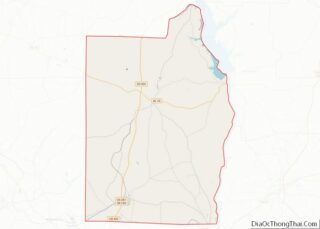
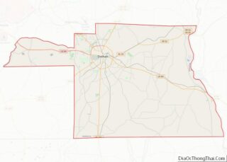
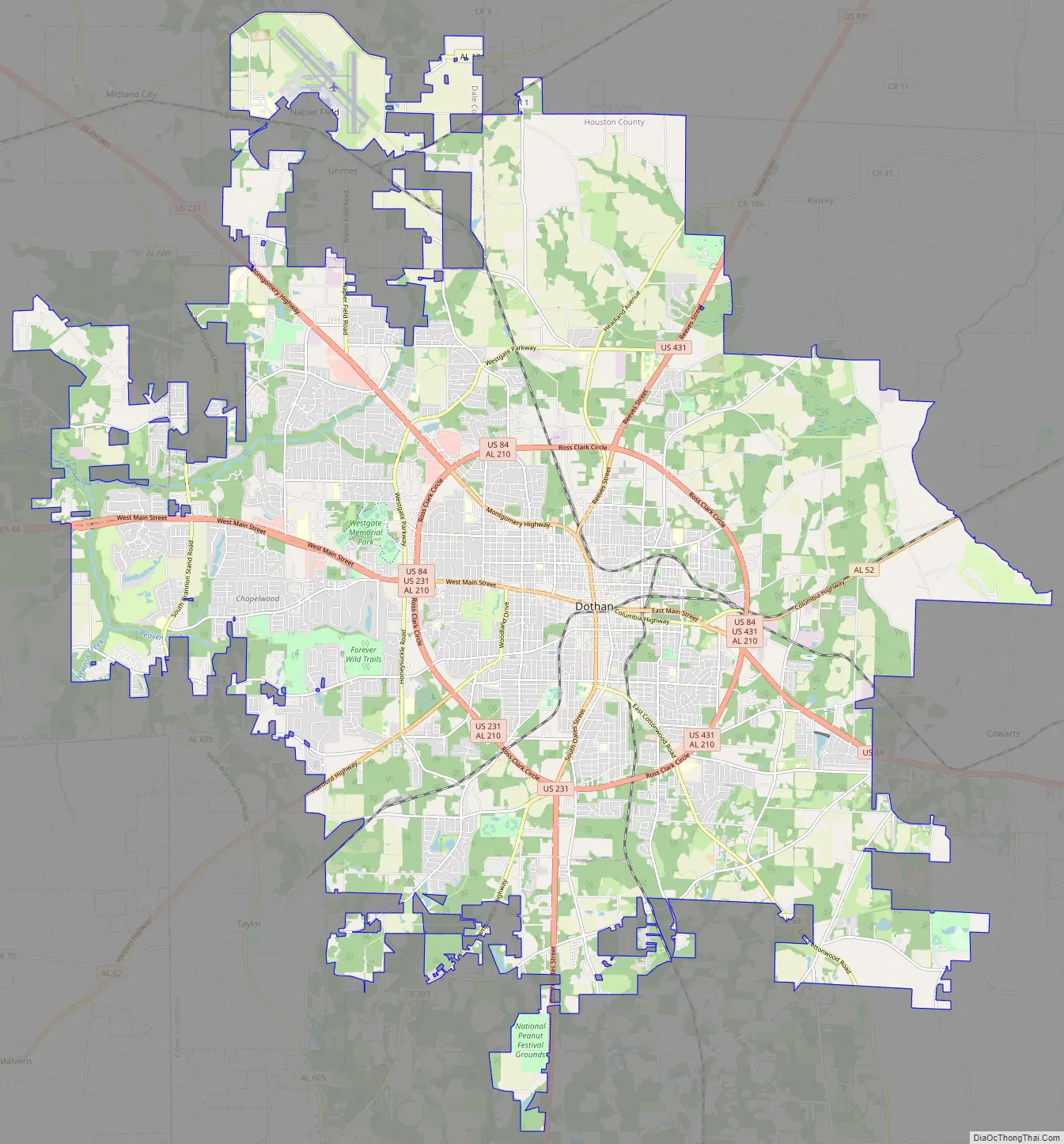
Dothan Road Map
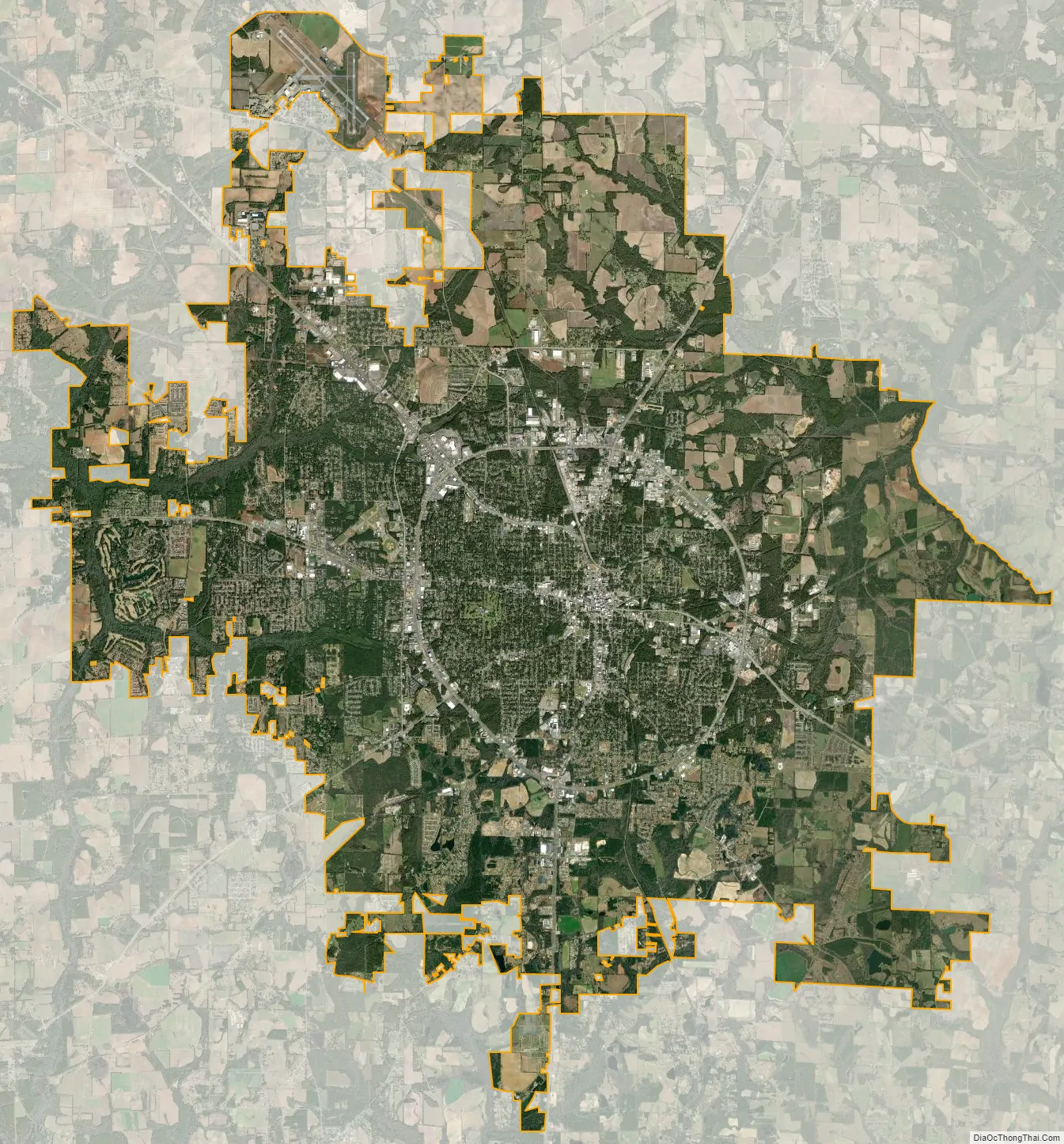
Dothan city Satellite Map
Geography
Dothan is in northwestern Houston County in southeastern Alabama. The city limits extend north into Henry County and northwest into Dale County. According to the United States Census Bureau, the city has an area of 89.7 square miles (232.4 km), of which 89.4 square miles (231.5 km) is land and 0.31 square miles (0.8 km), or 0.36%, is water.
Climate
Dothan has a humid subtropical climate (Köppen Cfa). This produces hot, humid summers and generally mild winters, with average high temperatures ranging from 92 °F (33 °C) in the summer to 59 °F (15 °C) high during winter. Snowfall is extremely rare; a two-inch snowfall occurs about once every ten years, which results in a yearly average of 0.2 inches (5.1 mm). Tornadoes are a frequent risk during the spring, summer and fall; the city’s tornado activity is slightly below the Alabama state average, but 79% above the U.S. average.
See also
Map of Alabama State and its subdivision:- Autauga
- Baldwin
- Barbour
- Bibb
- Blount
- Bullock
- Butler
- Calhoun
- Chambers
- Cherokee
- Chilton
- Choctaw
- Clarke
- Clay
- Cleburne
- Coffee
- Colbert
- Conecuh
- Coosa
- Covington
- Crenshaw
- Cullman
- Dale
- Dallas
- De Kalb
- Elmore
- Escambia
- Etowah
- Fayette
- Franklin
- Geneva
- Greene
- Hale
- Henry
- Houston
- Jackson
- Jefferson
- Lamar
- Lauderdale
- Lawrence
- Lee
- Limestone
- Lowndes
- Macon
- Madison
- Marengo
- Marion
- Marshall
- Mobile
- Monroe
- Montgomery
- Morgan
- Perry
- Pickens
- Pike
- Randolph
- Russell
- Saint Clair
- Shelby
- Sumter
- Talladega
- Tallapoosa
- Tuscaloosa
- Walker
- Washington
- Wilcox
- Winston
- Alabama
- Alaska
- Arizona
- Arkansas
- California
- Colorado
- Connecticut
- Delaware
- District of Columbia
- Florida
- Georgia
- Hawaii
- Idaho
- Illinois
- Indiana
- Iowa
- Kansas
- Kentucky
- Louisiana
- Maine
- Maryland
- Massachusetts
- Michigan
- Minnesota
- Mississippi
- Missouri
- Montana
- Nebraska
- Nevada
- New Hampshire
- New Jersey
- New Mexico
- New York
- North Carolina
- North Dakota
- Ohio
- Oklahoma
- Oregon
- Pennsylvania
- Rhode Island
- South Carolina
- South Dakota
- Tennessee
- Texas
- Utah
- Vermont
- Virginia
- Washington
- West Virginia
- Wisconsin
- Wyoming