Traverse City (/ˈtrævərz/ TRAV-ərz) is a city in the U.S. state of Michigan. It is the county seat of Grand Traverse County, although a small portion extends into Leelanau County. It is the largest city in the 21-county Northern Michigan region. The population was 15,678 at the 2020 census, with 153,448 in the four-county Traverse City micropolitan area. Traverse City is also the second-largest city in Michigan north of the Tri-Cities, behind Marquette.
Traverse City is located at the head of the East and West arms of Grand Traverse Bay, a 32-mile-long (51 km) bay of Lake Michigan. Grand Traverse Bay is divided into arms by the 17-mile-long (27 km) Old Mission Peninsula, which is attached at its base to Traverse City. The city borders four townships–East Bay, Elmwood, Garfield, and Peninsula–all of which contain substantial suburban sprawl.
Traverse City is well-known for being a cherry production hotspot, as the area was the largest producer of tart cherries in the United States in 2010. The city hosts the National Cherry Festival, attracting approximately 500,000 visitors annually. The area is also known for its viticulture industry, and is one of the centers of wine production in the Midwest. The city is home to a redeveloped psychiatric hospital and an active Coast Guard air base. Traverse City is located nearby the Sleeping Bear Dunes National Lakeshore, as well as a number of freshwater beaches, downhill skiing areas, and numerous forests. For these reasons, Traverse City is a year-round tourism hotspot, winning multiple accolades and awards. Traverse City has also been noted as one of Michigan’s top LGBT-friendly locations.
| Name: | Traverse City city |
|---|---|
| LSAD Code: | 25 |
| LSAD Description: | city (suffix) |
| State: | Michigan |
| County: | Grand Traverse County, Leelanau County |
| Incorporated: | April 18, 1881 (village) May 18, 1895 (city) |
| Elevation: | 626 ft (191 m) |
| Land Area: | 8.28 sq mi (21.43 km²) |
| Water Area: | 0.34 sq mi (0.87 km²) |
| Population Density: | 1,894.39/sq mi (731.43/km²) |
| Area code: | 231 |
| FIPS code: | 2680340 |
| GNISfeature ID: | 1615042 |
| Website: | www.traversecitymi.gov |
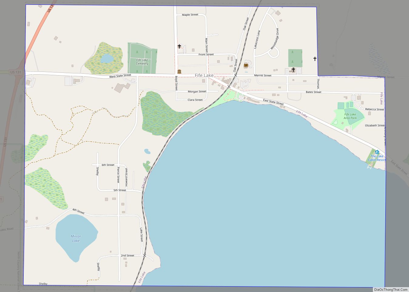
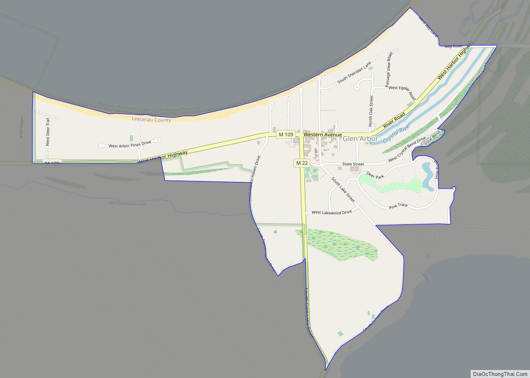
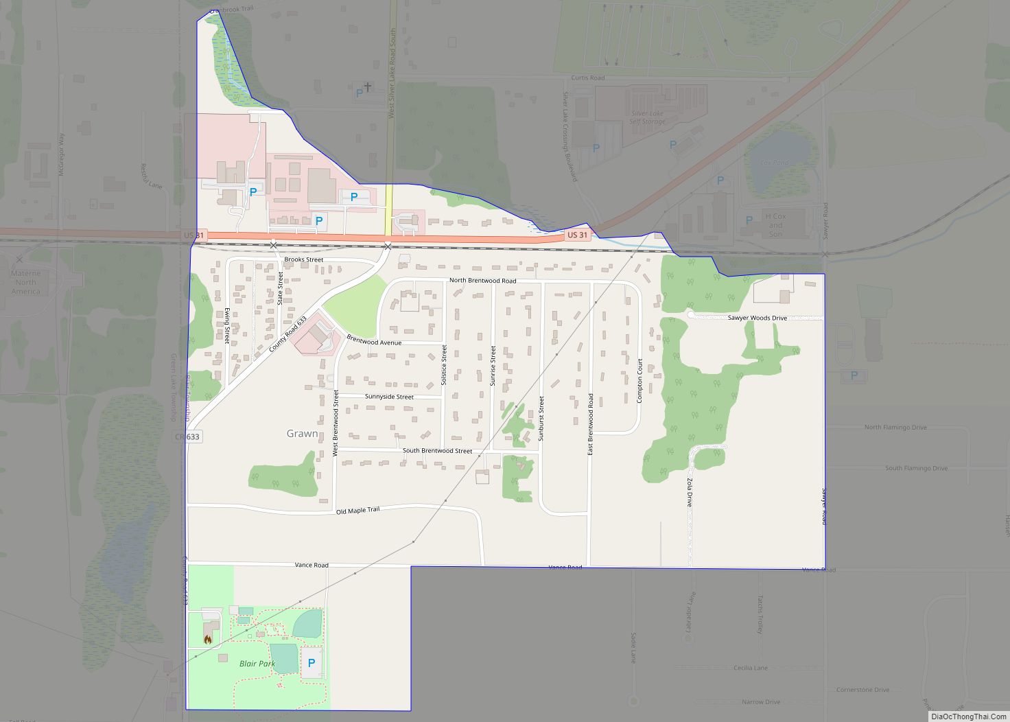
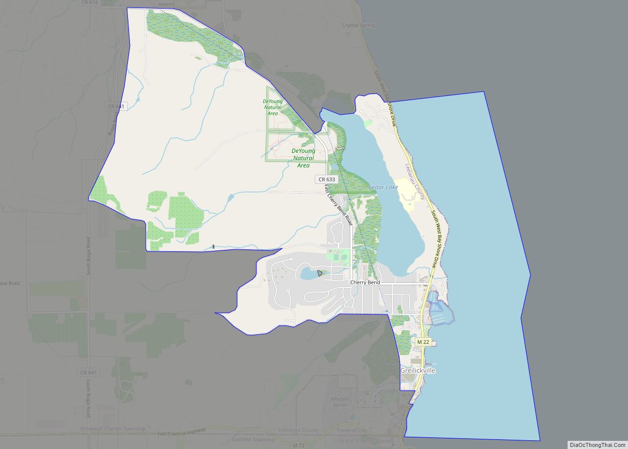
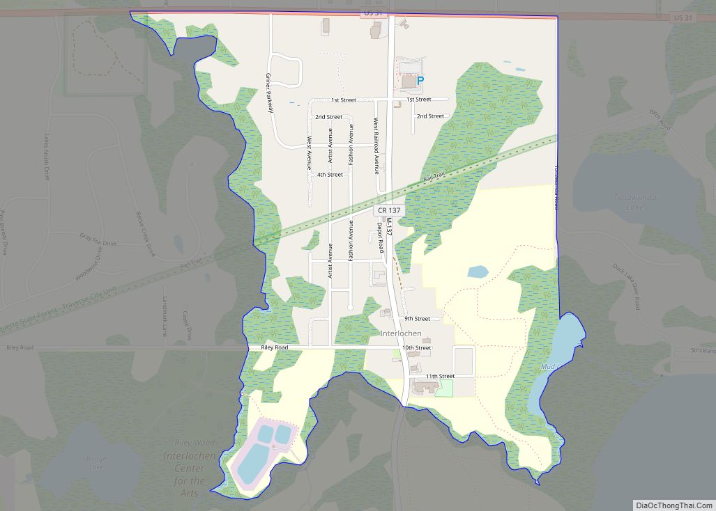
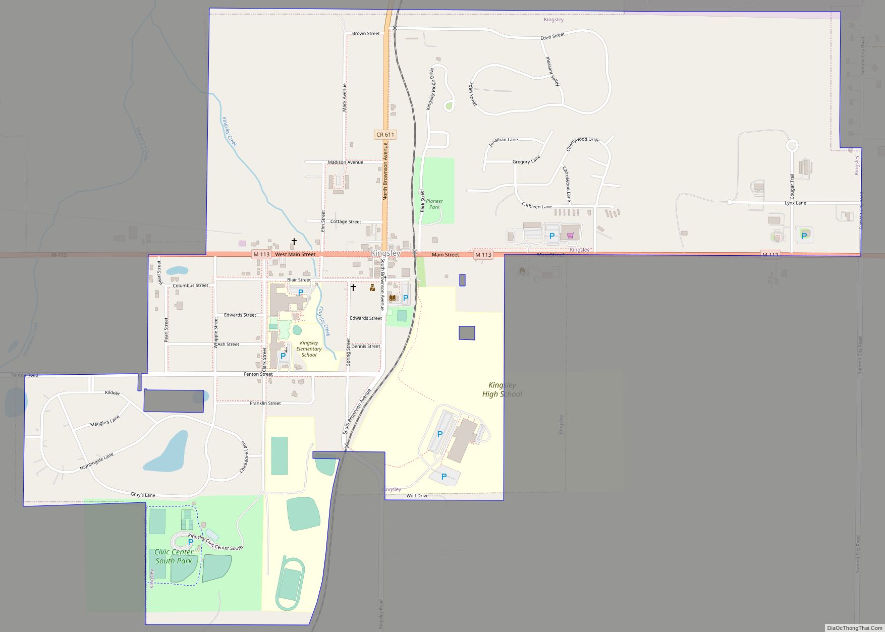
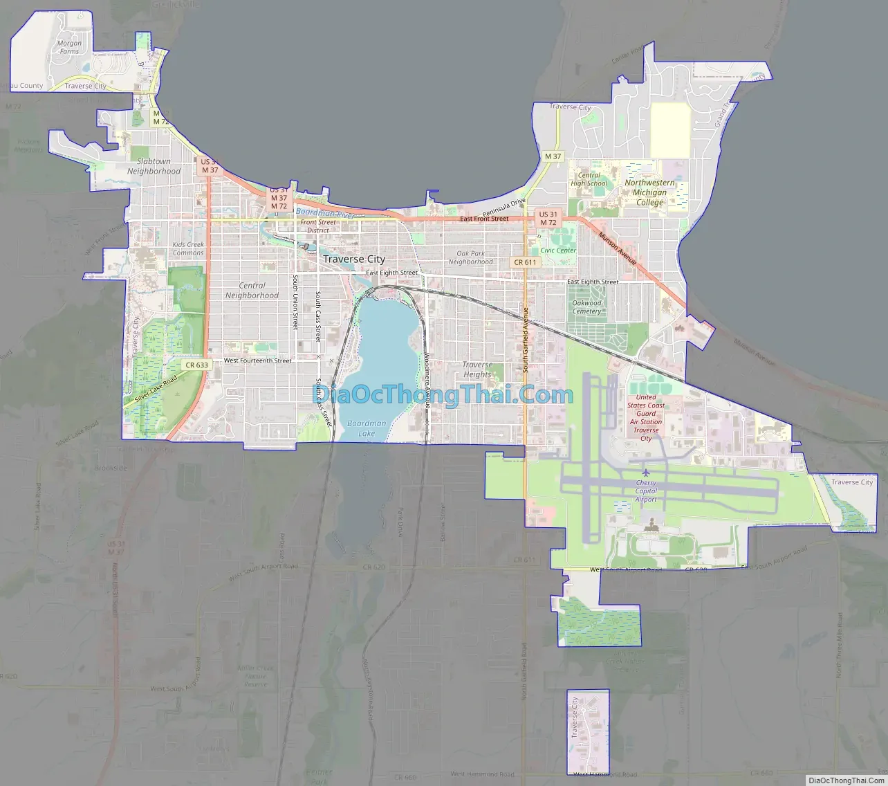
Online Interactive Map
Click on ![]() to view map in "full screen" mode.
to view map in "full screen" mode.
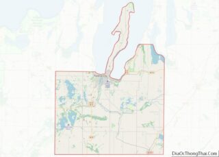
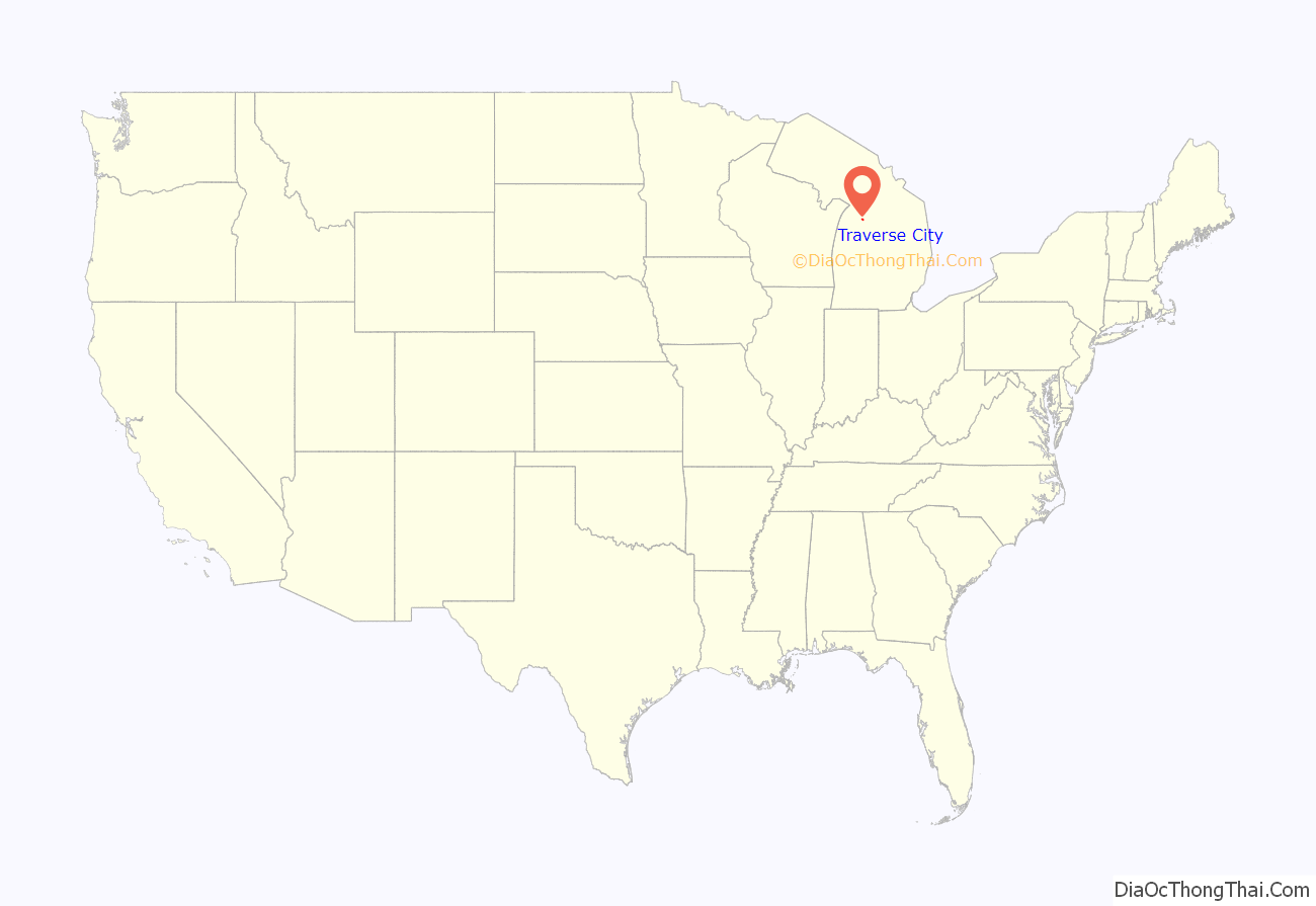
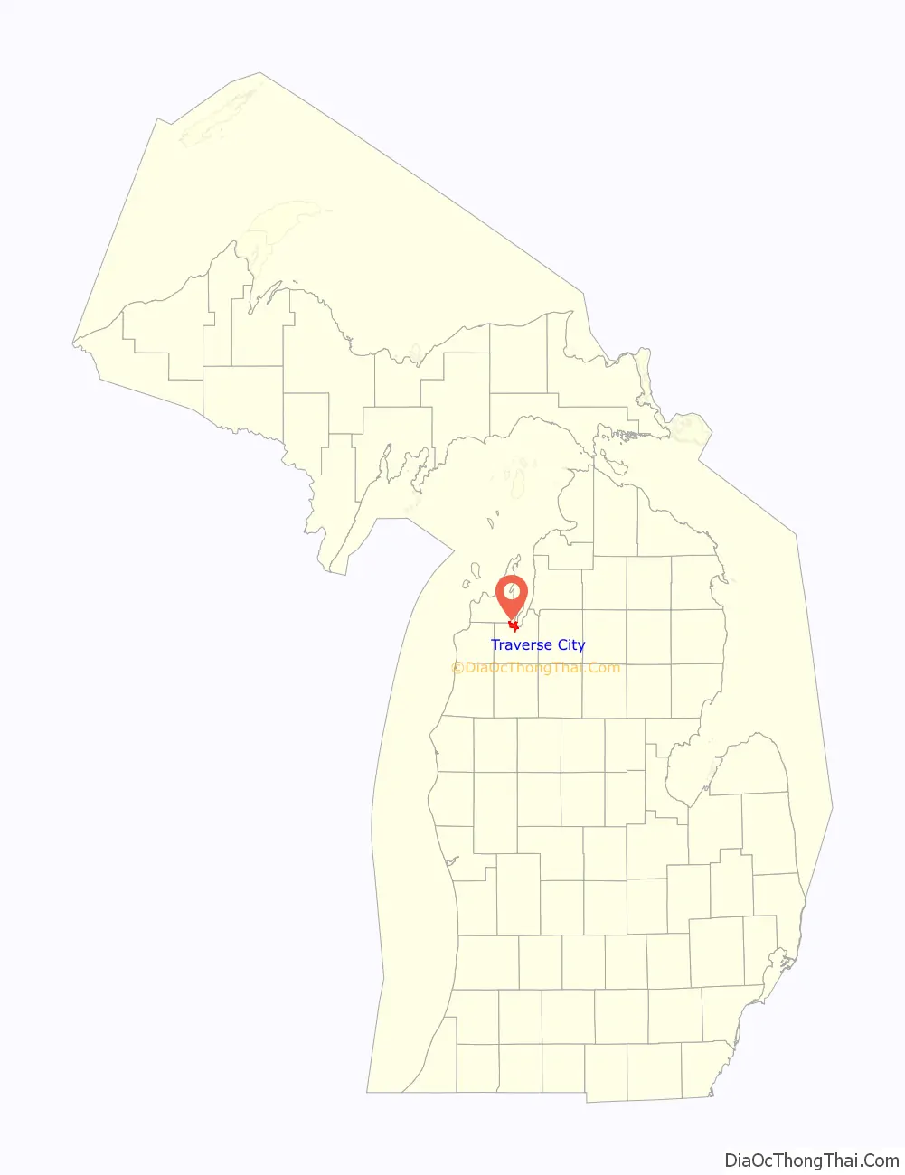
Traverse City location map. Where is Traverse City city?
History
19th century
The Traverse City area is home to the Ojibwe, Ottawa, and Potawatomi people. They lived through the European colonization and the establishment of the Northwest Territory. These people groups inhabited the area surrounding the Great Lakes, including Michigan. The Traverse City area was known to Natives as gichi-wiikwedoongsing (Ojibwe: ‘at the head of the great bay’), which was often anglicized to Wequetong. This settlement was located near the current-day mouth of the Boardman River, then known as adaawewiziibi (Ojibwe: ‘river of trade’), however Wequetong was abandoned upon the advent of European settlement to the region.
After the colonists came in, they discovered the Grand Traverse Bay. The bay earned its name from 18th-century French voyageurs who made la grande traverse, or “the long crossing”, across the mouth of bay, from present-day Norwood to Northport. The area was owned by the French, followed by Great Britain as the Province of Quebec. After 1776, the area was owned by the Americans. On the Old Mission Peninsula, Rev. Peter Doughtery established the first permanent settlement in 1839. This was called “Grand Traverse“, and is today known as Old Mission.
In 1847, Captain Horace Boardman of Naperville, Illinois, purchased the land at the mouth of the Boardman River (then known as the Ottawa River) at the head of the west arm of the bay, which at the time was still inhabited by Native Americans. In 1847, the captain, his son, and their employees built a dwelling and sawmill near the mouth of the river. In 1851 the Boardmans sold the sawmill to Hannah, Lay & Co (made up of Perry Hannah, Albert Tracy Lay and James Morgan), who improved the mill greatly. The increased investment in the mill attracted additional settlers to the new community. Perry Hannah today is known as the founding father of Traverse City.
Traverse City was originally part of Omeena County, which was originally set off in 1840 from Michilimackinac County. The county remained unorganized, lacking a central government until 1851, when it was reorganized as Grand Traverse County. The newly designated county government was assigned a county seat at Boardman’s Mills, a location in present-day downtown Traverse City.
As of 1853, the only operating post office in the Grand Traverse Bay region was the one located at Old Mission, which was then known as “Grand Traverse”. While in Washington, D.C. in 1852, Mr. Lay had succeeded in getting the U.S. Post Office to authorize a new post office at his newer settlement. As the newer settlement had become known as “Grand Traverse City“, after the Grand Traverse Bay, Lay proposed this name for its post office, but the Post Office Department clerk suggested dropping the “Grand” from the name, as to limit confusion between this new office and the one at nearby Old Mission. Mr. Lay agreed to the new, shortened name of “Traverse City” for the post office, and the village took on this name. Also around this time, the first cherry trees were being planted on the Old Mission Peninsula, something the peninsula is widely known for today.
In December 1872, rail service arrived in Traverse City via a Traverse City Railroad Company spur from the Grand Rapids and Indiana Railroad line at Walton Junction. The railroad tracked along the Boardman River and along Boardman Lake into Traverse City, and ended at a station along the Grand Traverse Bay, at the corner of present-day Grandview Parkway and Park Street. This new line of transportation from Southern Michigan opened up the area to settlement and industrial development. Many more people started flocking to the small community, and in 1881, Traverse City was incorporated as a village. This began the major commercial growth of the town.
In 1890, another rail line was extended to Traverse City, this one from Baldwin via Copemish and Interlochen. This line primarily served lumber companies, such as the Buckley & Douglas Lumber Company, and was used to transport logs from the vast forest of Northwest Michigan to sawmills in Manistee and Traverse City. Two years later, new railroads were extended out of Traverse City. One line was extended along the bay into Leelanau County, and curved south to a preexisting spur at Lake Ann. Another line was extended east into present-day Williamsburg, and to Charlevoix and Petoskey. This railroad was largely to serve tourists.
In 1881, the Northern Michigan Asylum, later the Traverse City State Hospital, was established as the demand for a third psychiatric hospital in Michigan, in addition to those established in Kalamazoo and Pontiac, began to grow. Perry Hannah, by then a prominent Michigan Republican, used his political influence to secure its location in Traverse City. Under the supervision of prominent architect Gordon W. Lloyd, the first building, known as Building 50, was constructed in Victorian-Italianate style according to the Kirkbride Plan. The hospital opened in 1885 with 43 residents. Under Dr. James Decker Munson, the first superintendent from 1885 to 1924, the institution expanded. Twelve housing cottages and two infirmaries were built between 1887 and 1903 to meet the specific needs of male and female patients. The institution became the city’s largest employer and contributed to its growth. While the hospital was established for the care of the mentally ill, its use expanded during outbreaks of tuberculosis, typhoid, diphtheria, influenza, and polio. It also cared for the elderly, served as a rehab for drug addicts, and was used to train nurses.
On May 18, 1895, Traverse City was incorporated as a city. Perry Hannah served as the first mayor of Traverse City, after also serving as first and third village president.
20th century
The first National Cherry Festival was held in Traverse City in 1925. It was first called “Blessing of the Blossoms” and held in the spring to attract people during the blooming season. With the exception of the years before and during World War II, this tradition has been carried on since in Traverse City. The legislature moved the date of the festival to the summer, and it attracts tourists from around the state. During the week the festival takes place, the population of Traverse City rises from about 15,000 to about 500,000. In 2004 the legislature added “Blossom Days”, again as a spring festival.
Also in 1925, Munson Medical Center opened, and has since grown to serve much of Northern Michigan and serves as one of Traverse City’s largest employers.
In 1929, Traverse City’s first airport, Ransom Field, opened, offering flights to Grand Rapids. It closed in 1936, when the new Traverse City Airport (now called Cherry Capital Airport) was opened. In 1953 the grounds of Ransom Field were redeveloped as Memorial Gardens Cemetery.
In 1934, the original Traverse City High School building burnt down, with no casualties. For three years, while the high school was being rebuilt, classes were moved to the Perry Hannah House, the former residence of the city’s founder. Classes were moved back to the new school building in September 1937. In 1960, the high school was moved from downtown Traverse City to a new college-style campus on the grounds of Northwestern Michigan College, which opened a few years prior in 1951. The former high school building was converted to Traverse City Junior High. In 1997, the high school split into Traverse City Central and Traverse City West High Schools due to extreme overcrowding at the 1960s building.
In 1989, the Traverse City State Hospital closed, leaving hundreds without jobs, massive abandoned buildings, and many homeless former patients. Since 2000, the Minervini Group has undertaken the project of renovating the entire property into a social center, including many restaurants, retail spaces, office space, and residential space.
21st century
In 2005, Michigan filmmaker Michael Moore organized the first Traverse City Film Festival in downtown Traverse City. In 2015 and 2016, Traverse City was called the best small town in America by Livability.com.
On November 3, 2015, Traverse City elected Jim Carruthers, its first openly gay mayor. After serving as mayor of Traverse City for 6 years, in June 2021 Jim Carruthers announced he would not run for his 4th mayoral term.
May 18, 2020, served as the city’s 125th anniversary of Traverse City’s incorporation as a city in 1895, and was known as the “quarantine quasquicentennial”.
On June 1, 2020, commissioners of Traverse City approved a plan that would close two blocks of Front Street and return State Street to two-way traffic, until Labor Day of that year. This was enacted in order to prevent crowding in reopening businesses following the COVID-19 pandemic. This followed the cancelation of the 2020 National Cherry Festival and Traverse City Film Festival.
On November 2, 2020, President Donald Trump and Vice President Mike Pence appeared at a campaign rally at Traverse City’s Cherry Capital Airport, the day before the 2020 election.
In April 2021, a group composed mostly of White students from two Traverse City area school districts held an online mock slave auction via social media app in a private group chat titled “Slave Trade”, wherein they traded their Black student peers for monetary amounts while using derogatory language. After the local community was made aware of this event, a coalition of community members and Traverse City Area Public School (TCAPS) Board of Education officials drafted in response a resolution which denounced the behavior. The draft of the resolution itself led to community backlash initiated largely by White conservative parents and community members who regarded the planned resolution to be “…interlaced with critical race theory”. In the aftermath of the backlash, the resolution was edited by TCAPS school board officials. No date for consideration of the revised resolution has been set.
In 2023, the city experienced a small commotion after a black bear was stuck in a tree on Mother’s Day. The 350-pound bear eventually fell asleep and fell onto a mattress. The bear was eventually driven to a nearby wooded area.
Traverse City Road Map
Traverse City city Satellite Map

Geography
Topography
Traverse City is a part of the greater Northern Michigan region, located in the northwest of Michigan’s Lower Peninsula. The city is the main inland port of Grand Traverse Bay, a long, natural harbor separated from the waters of Lake Michigan by the Leelanau Peninsula. The bay is divided into an East Arm and West Arm by the Old Mission Peninsula, a thin strip of rolling hills and farmland known for its cherry crop and viticulture industry. As Traverse City contains shores on both of Grand Traverse Bay’s East and West Arms, one cannot access the Old Mission Peninsula without entering Traverse City.
The Boardman River is a prominent river bisecting Traverse City from south to north. It also snakes through Traverse City’s downtown district, effectively forming a peninsula, and dividing it from the Grandview Parkway. The river terminates at the Grand Traverse Bay northeast of downtown Traverse City. The river’s 287-square-mile (740 km) watershed contributes one-third of the water volume to the bay and is one of Michigan’s top-ten fisheries, with more than 36 miles (58 km) of its 179 miles (288 km) designated as a Blue Ribbon trout fishery. It is also a state-designated “Natural River”. As of 2023, only one of the five dams constructed on the Boardman River remains.
According to the United States Census Bureau, the city has a total area of 8.66 square miles (22.43 km), of which, 8.33 square miles (21.57 km) of it is land and 0.33 square miles (0.85 km) is water.
Traverse City is surrounded by a substantial suburban ring, especially within Garfield Township, to its southwest. Garfield Township is the largest municipality in Northern Michigan by population. Other adjacent townships, East Bay, Elmwood, and Peninsula, and nearby Blair and Long Lake townships, boast significant suburban populations dependent upon Traverse City.
Layout and cityscape
Traverse City, like most of Grand Traverse County and many other cities in the United States, is laid out in a grid plan. Major streets run east–west and north–south.
Traverse City’s tallest building is the Park Place Hotel (at 10 stories), although recently, many proposals have been made to build taller buildings. One of these was the River West building, which was canceled in 2017.
Traverse City is divided into the following neighborhoods:
- Base of the Peninsula (BOOM)
- Boardman
- Central Neighborhood
- Downtown
- East Bay
- Fernwood
- Grand Traverse Commons
- Hilltop
- Kids Creek
- Morgan Farms
- North Boardman Lake (NoBo)
- Oak Park
- Oakwood
- Old Towne
- Slabtown
- Traverse Heights
- Triangle Neighborhood
Traverse City is home to the following parks:
- American Legion Park
- Arbutus Court Park
- Ashton Park
- Boon Street Park
- Bryant Park
- Clancy Park
- Clinch Park
- Darrow Park
- Dutmers Natural Area
- East Bay Park
- F & M Park
- Fulton Park
- Grand Traverse County Civic Center
- Hickory Hills
- Highland Park
- Hickory Meadows
- Hull Park
- Indian Woods Park
- Jupiter Gardens
- Lay Park
- Meijer Silverbrook Acres
- Mini Park
- Open Space
- Senior Center Beach
- Slabtown Corner
- Sunrise Peace Park
- Sunset Park
- Union Street Dam Park
- Veterans Memorial Park
- West End Beach
Superfund site
Traverse City has one superfund site, according to the Environmental Protection Agency. This is the Avenue E Groundwater Contamination Site. At this location, toxic runoff from the Coast Guard Air Station contaminated the groundwater along Avenue E.
See also
Map of Michigan State and its subdivision:- Alcona
- Alger
- Allegan
- Alpena
- Antrim
- Arenac
- Baraga
- Barry
- Bay
- Benzie
- Berrien
- Branch
- Calhoun
- Cass
- Charlevoix
- Cheboygan
- Chippewa
- Clare
- Clinton
- Crawford
- Delta
- Dickinson
- Eaton
- Emmet
- Genesee
- Gladwin
- Gogebic
- Grand Traverse
- Gratiot
- Hillsdale
- Houghton
- Huron
- Ingham
- Ionia
- Iosco
- Iron
- Isabella
- Jackson
- Kalamazoo
- Kalkaska
- Kent
- Keweenaw
- Lake
- Lake Hurron
- Lake Michigan
- Lake St. Clair
- Lake Superior
- Lapeer
- Leelanau
- Lenawee
- Livingston
- Luce
- Mackinac
- Macomb
- Manistee
- Marquette
- Mason
- Mecosta
- Menominee
- Midland
- Missaukee
- Monroe
- Montcalm
- Montmorency
- Muskegon
- Newaygo
- Oakland
- Oceana
- Ogemaw
- Ontonagon
- Osceola
- Oscoda
- Otsego
- Ottawa
- Presque Isle
- Roscommon
- Saginaw
- Saint Clair
- Saint Joseph
- Sanilac
- Schoolcraft
- Shiawassee
- Tuscola
- Van Buren
- Washtenaw
- Wayne
- Wexford
- Alabama
- Alaska
- Arizona
- Arkansas
- California
- Colorado
- Connecticut
- Delaware
- District of Columbia
- Florida
- Georgia
- Hawaii
- Idaho
- Illinois
- Indiana
- Iowa
- Kansas
- Kentucky
- Louisiana
- Maine
- Maryland
- Massachusetts
- Michigan
- Minnesota
- Mississippi
- Missouri
- Montana
- Nebraska
- Nevada
- New Hampshire
- New Jersey
- New Mexico
- New York
- North Carolina
- North Dakota
- Ohio
- Oklahoma
- Oregon
- Pennsylvania
- Rhode Island
- South Carolina
- South Dakota
- Tennessee
- Texas
- Utah
- Vermont
- Virginia
- Washington
- West Virginia
- Wisconsin
- Wyoming