Hardy County is a county in the U.S. state of West Virginia. As of the 2020 census, the population was 14,299. Its county seat is Moorefield. The county was created from Hampshire County in 1786 and named for Samuel Hardy, a distinguished Virginian.
| Name: | Hardy County |
|---|---|
| FIPS code: | 54-031 |
| State: | West Virginia |
| Founded: | October 17, 1786 |
| Named for: | Samuel Hardy |
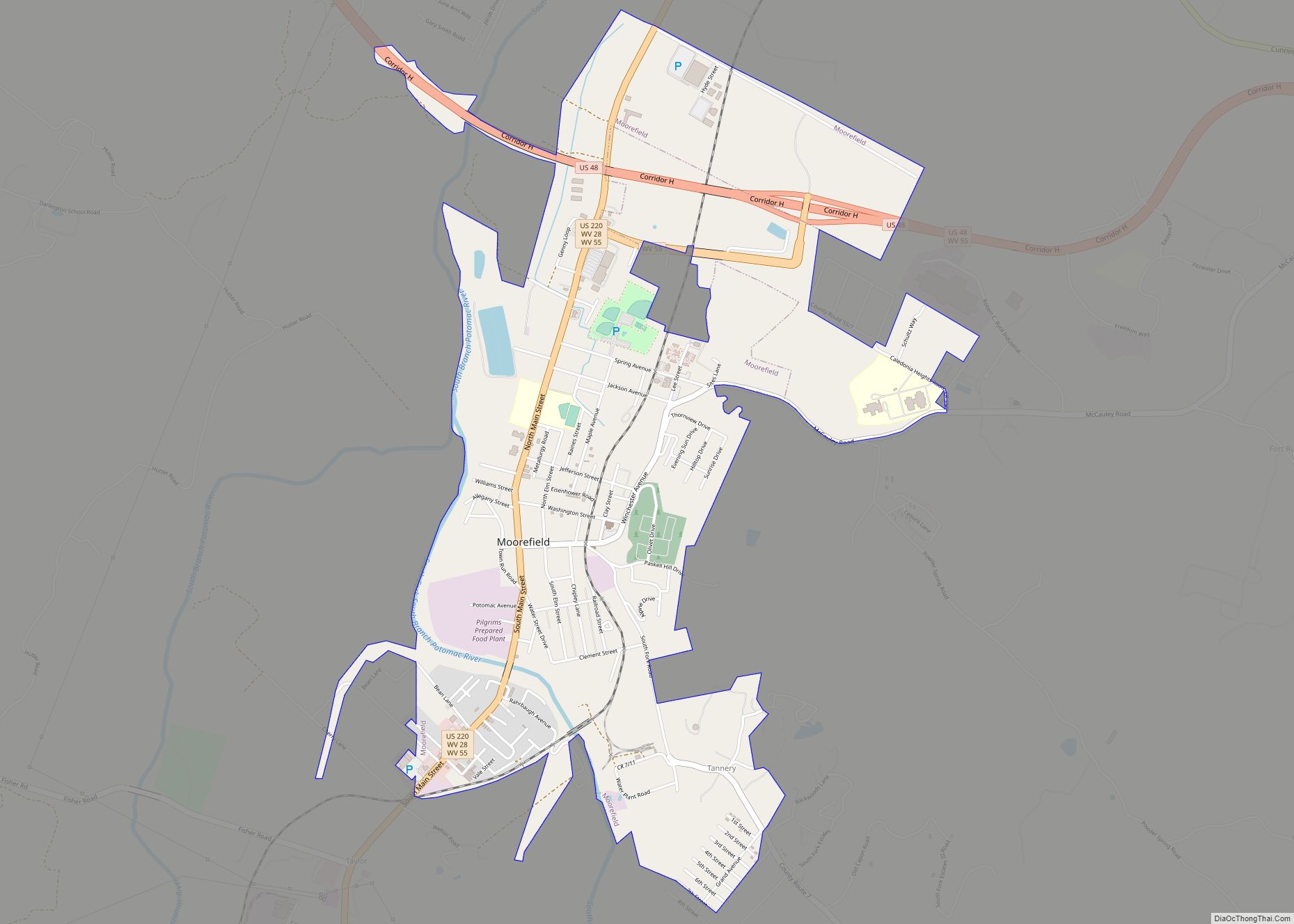
| Seat: | Moorefield |
| Largest town: | Moorefield |
| Total Area: | 584 sq mi (1,510 km²) |
| Land Area: | 582 sq mi (1,510 km²) |
| Total Population: | 14,299 |
| Population Density: | 24/sq mi (9.5/km²) |
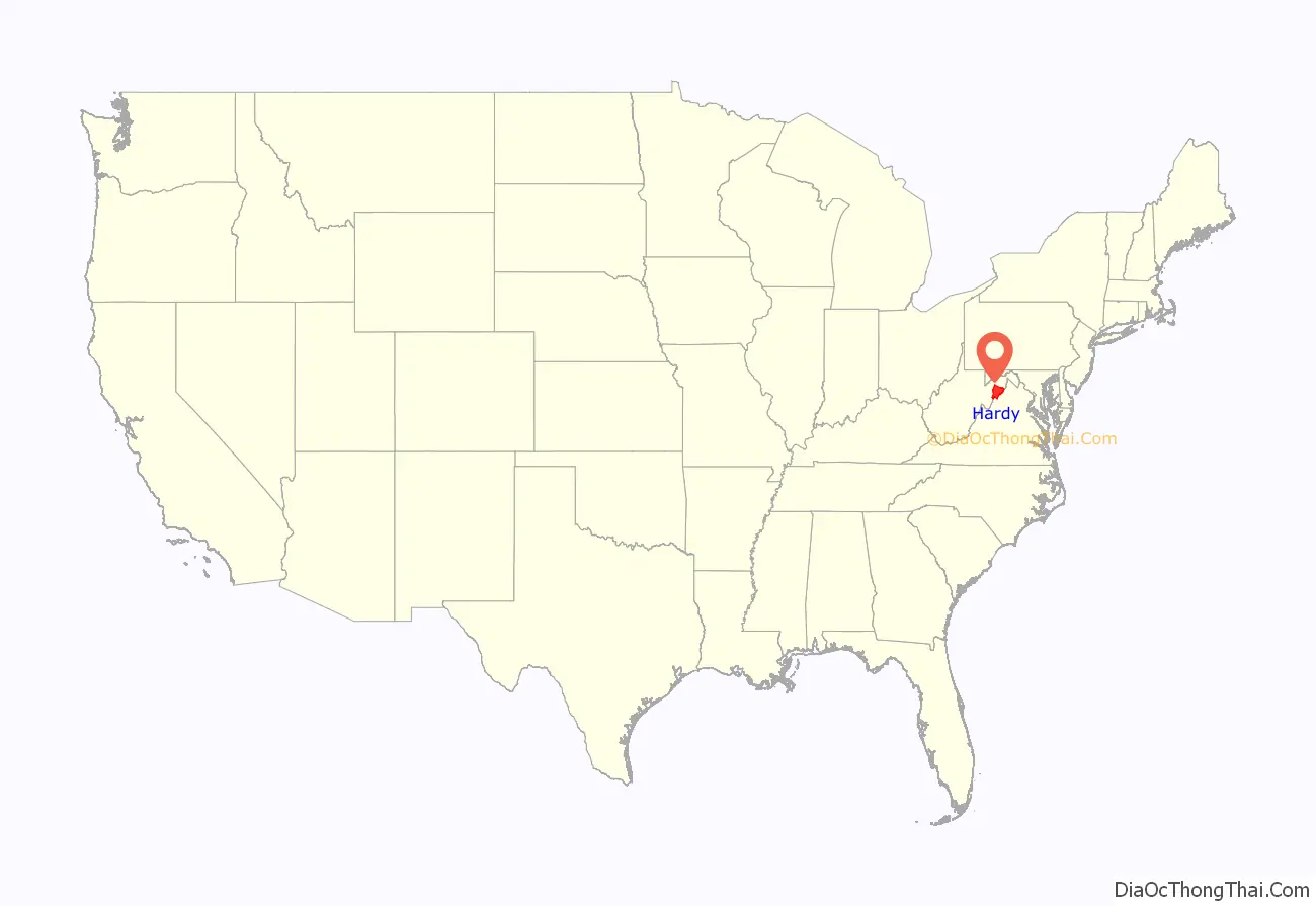
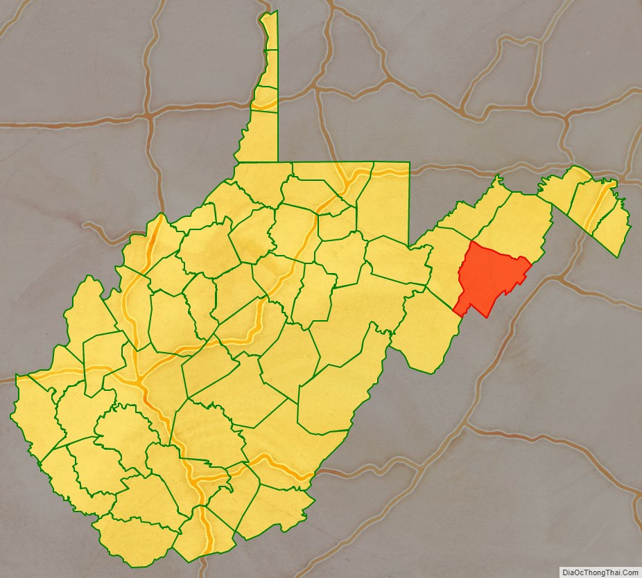
Hardy County location map. Where is Hardy County?
History
The first European known to visit this area was John Van Meter in 1725. The earliest permanent European settlements were established in the 1730s.
Hardy County was formed in 1786 from Hampshire County in Virginia. It was one of fifty counties admitted to the Union as the state of West Virginia in 1863.
That year, the newly independent state’s counties were divided into civil townships, with the intention of encouraging local government. This proved impractical in the heavily rural state, and in 1872 the townships were converted into magisterial districts. Hardy County was divided into three districts: Capon, Lost River, and Moorefield. A fourth district, South Fork, was formed in 1873 from part of Moorefield District, and a fifth district, Old Fields, was created in the 1980s.
Hardy County has a rich African American history, with many free African Americans living there before the Civil War. This history is discussed in part 2 of the Henry Louis Gates television series African American Lives.
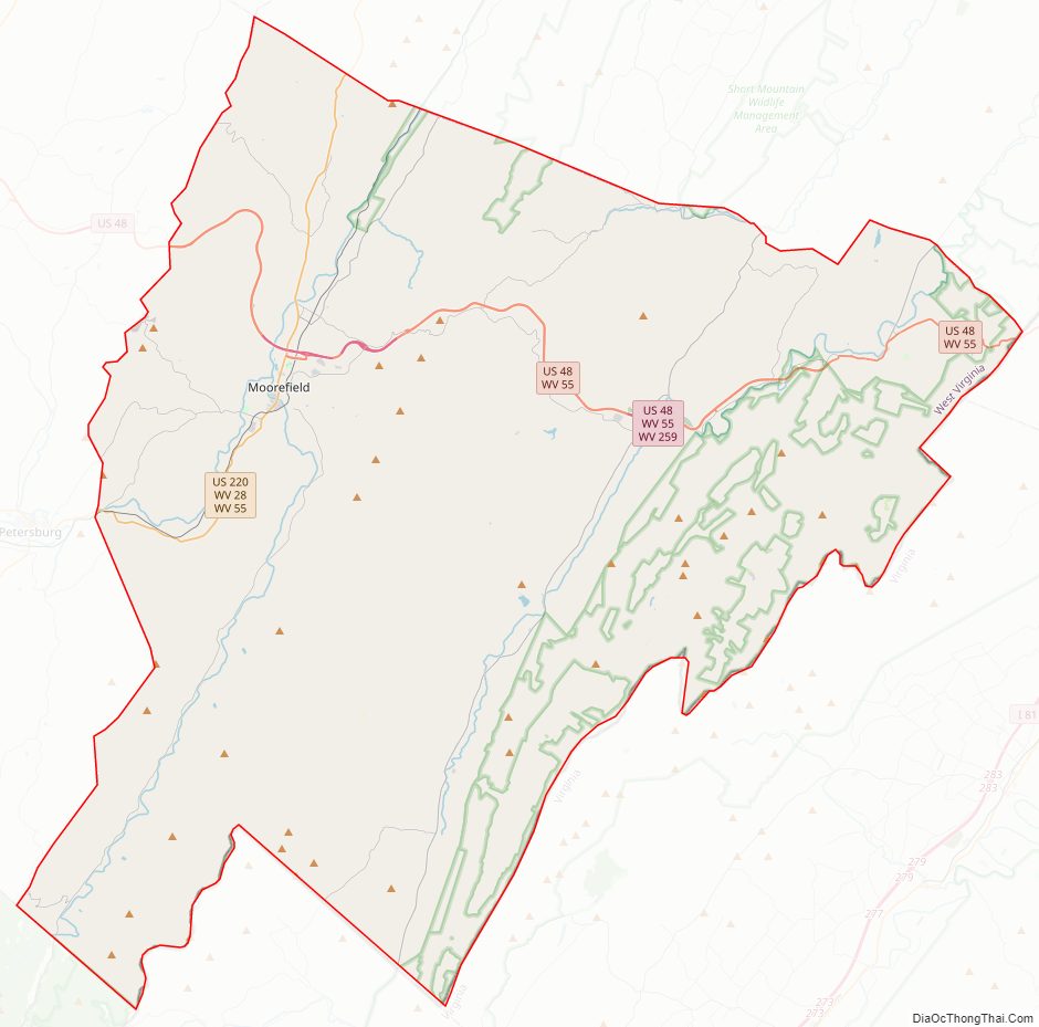
Hardy County Road Map
Geography
According to the United States Census Bureau, the county has a total area of 584 square miles (1,510 km), of which 582 square miles (1,510 km) is land and 2.2 square miles (5.7 km) (0.4%) is water.
Through this county flows the South Branch Potomac River with its surrounding magnificent valley. Several miles wide, “the Valley,” as it is commonly called, contains lands whose fertility lends itself to successful farming. Agriculture and stock raising have always been the main source of employment in this area, with corn, wheat, apples, peaches, melons, cattle and poultry having important interests. Truck-farming has a vital role, each household possessing its own small garden.
On either side of the Valley are high mountains with rough terrain and heavy timber. Throughout the area wildlife is plentiful, and hunting has always been a major diversion and source of meat supply.
The South Branch is a clear stream, quite wide, and of considerable depth in many places. Watering the Valley, the river abounds in fish and creates many picturesque settings. At times the usually calm waters surge from low banks and spread over the Valley, enveloping and ravishing the rich surrounding lands. The river has a peculiar feature in the field of geology as it flows through the Valley. At one point the river, thousands of years ago, did not cut across the mountains from one side to the other, but made a passage through them from end to end. This geological exception is now in the form of a narrow, trough-like gap, about seven miles (11 km) long, and appropriately called “The Trough”. At the present day, the gorge is several hundred feet deep, and the South Branch flows in a narrow channel at the bottom, with almost perpendicular walls of rock on either side.
In the very center of the South Branch Valley, surrounded by high mountains, and located on the east side of the junction of the South Fork South Branch Potomac River and the South Branch Potomac, is Moorefield, the county seat of Hardy County. A quiet farming center in 1860, the population of the Moorefield area at that time was about 1,500. At this period there were no bridges at Moorefield, and the South Branch had to be forded some three miles (4.8 km) up the Valley, or the ferryboat, which was usually busy, had to be used. The main towns that communicated with Moorefield were Petersburg, Romney, and New Creek (presently Keyser) the latter having a stage line between the two points.
Major highways
- U.S. Highway 48
- U.S. Highway 220
- West Virginia Route 28
- West Virginia Route 29
- West Virginia Route 55
- West Virginia Route 59
- West Virginia Route 259
Adjacent counties
- Hampshire County (north)
- Frederick County, Virginia (east)
- Shenandoah County, Virginia (southeast)
- Rockingham County, Virginia (south)
- Pendleton County (southwest)
- Grant County (west)
National protected areas
- George Washington National Forest (part)
- United States National Radio Quiet Zone (part)
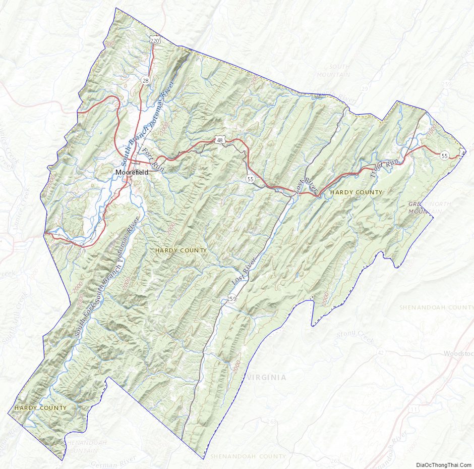
Hardy County Topographic Map
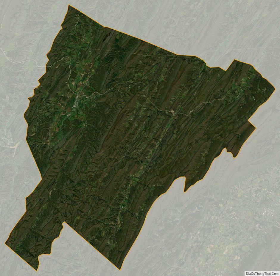
Hardy County Satellite Map
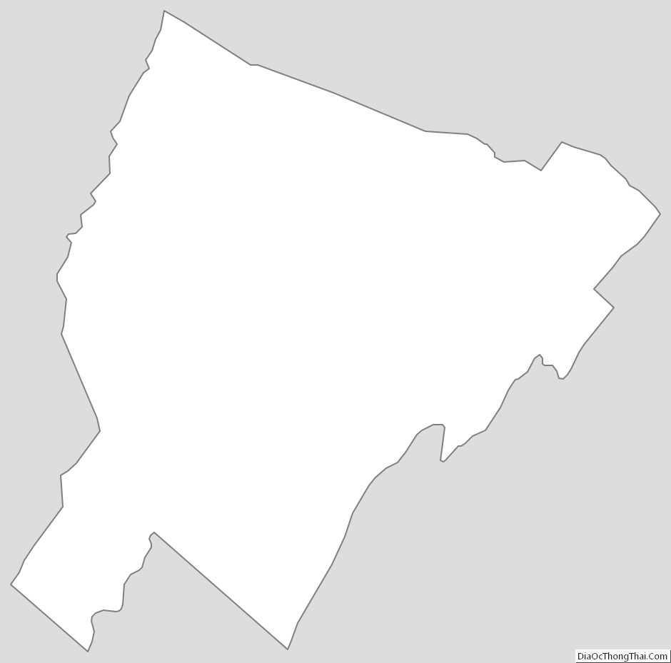
Hardy County Outline Map