Franklin is a town in and the county seat of Pendleton County, West Virginia, United States. The population was 486 at the 2020 census. Franklin was established in 1794 and named for Francis Evick, an early settler.
| Name: | Franklin town |
|---|---|
| LSAD Code: | 43 |
| LSAD Description: | town (suffix) |
| State: | West Virginia |
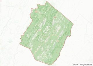
| County: | Pendleton County |
| Elevation: | 1,732 ft (528 m) |
| Total Area: | 0.56 sq mi (1.46 km²) |
| Land Area: | 0.56 sq mi (1.46 km²) |
| Water Area: | 0.00 sq mi (0.00 km²) |
| Total Population: | 486 |
| Population Density: | 1,142.35/sq mi (440.93/km²) |
| ZIP code: | 26807 |
| Area code: | 304 |
| FIPS code: | 5429044 |
| GNISfeature ID: | 1551175 |
| Website: | http://www.local.wv.gov/Franklin |
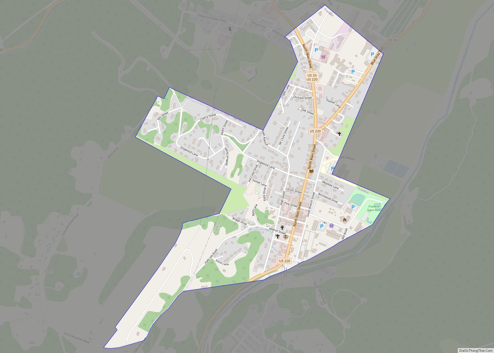
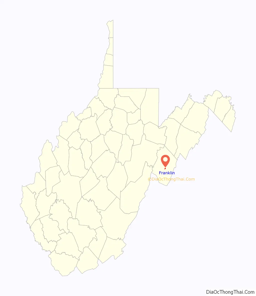
Online Interactive Map
Click on ![]() to view map in "full screen" mode.
to view map in "full screen" mode.
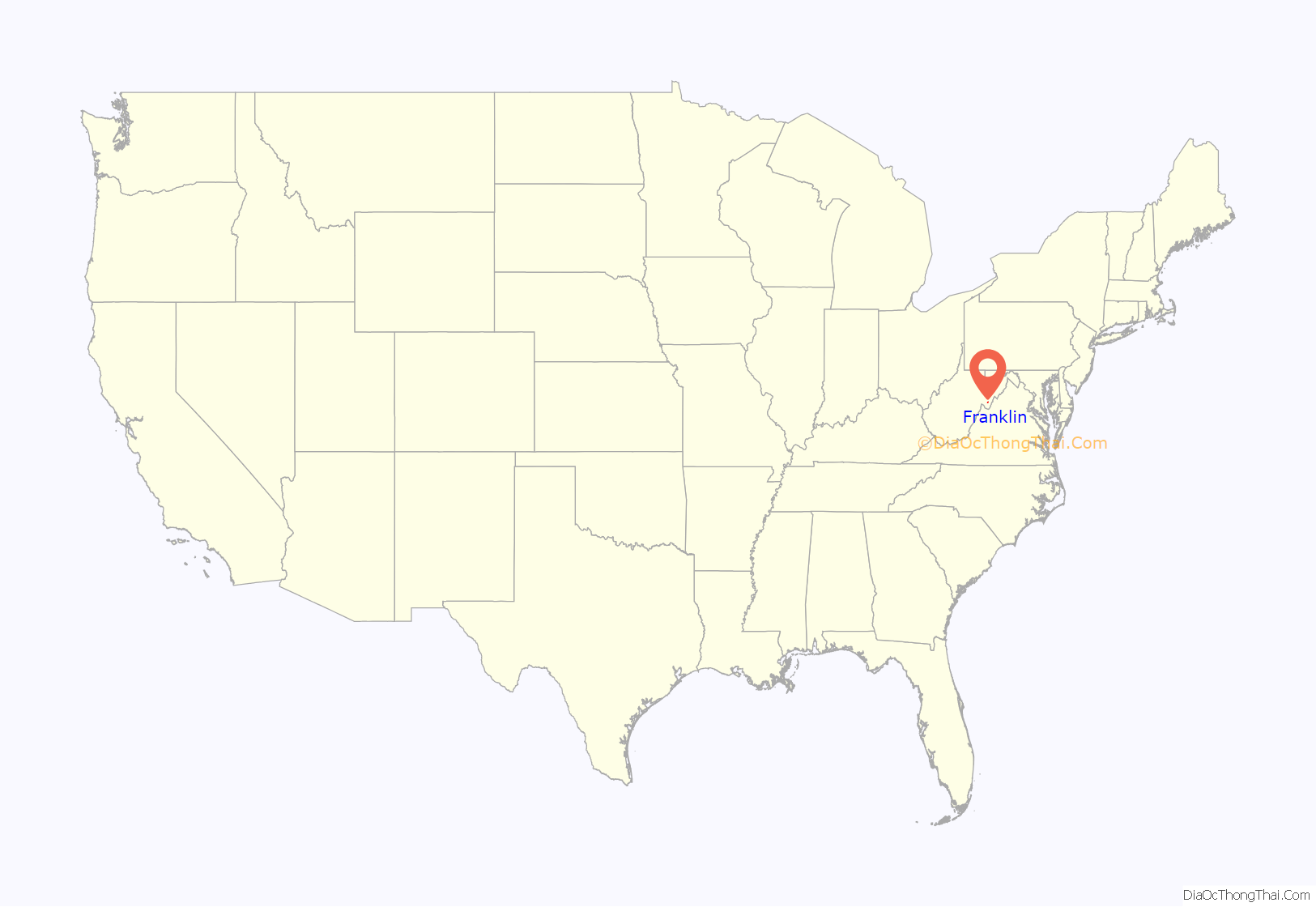
Franklin location map. Where is Franklin town?
History
The Town of Franklin is situated in the Allegheny Mountains on the eastern edge of the Monongahela National Forest and along the South Branch of the Potomac River. This region was populated by Native American cultures for centuries prior to the arrival of English immigrants in the mid-18th century. During the French and Indian War, conflict between the early settlers and Native American populations included two battles at frontier fortifications at Upper Tract and Fort Seybert in 1758, both ten miles distant from the future location of Franklin. The land on which Franklin was laid out was first patented by brothers Francis and George Evick in 1769.
Pendleton County was divided from parts of Augusta, Hardy, and Rockingham Counties (Virginia) by an act of the Virginia General Assembly in 1787. The earliest court sessions in the new county were held at the home of Captain Zeruiah Stratton near the present-day village of Ruddle until Francis Evick offered a part of his land to become a county seat around 1789. Additional lots were divided off of Evick’s land to form the new town. On December 19, 1794, the Virginia General Assembly chartered the town of Franklin and recognized it as the seat of Pendleton County. Franklin grew steadily over the first half of the 19th century, becoming a local center of commerce and industry. In 1834, there were two stores, two tanneries, three saddlers, two carpenters, two shoemakers, two blacksmiths, one gunsmith, one tailor, one hat-maker, and one cabinet-maker listed among the town’s residents.
At the outbreak of the American Civil War in 1861, Pendleton County voted to uphold Virginia’s Ordinance of Secession, despite strong Union sympathies from many of its residents. Localized fighting occurred between northern and southern regiments throughout the war, but the only major battle to impact the Franklin area occurred in May 1862. Following the First Battle of Kernstown, Confederate Major General Thomas J. “Stonewall” Jackson initiated his Valley Campaign to draw attention of the Union Army away from its Peninsula Campaign nearing the Confederate capitol at Richmond. On May 8, 1862, Jackson clashed with Union regiments from West Virginia and Ohio under the command of Brigadier General Robert H. Milroy at the Battle of McDowell (some 30 miles from Franklin). After a day of fighting, the Union forces withdrew from the battle and began retreating towards Franklin, pursued by Jackson for nearly a week. The armies clashed briefly at McCoy’s Mill (three miles south of Franklin, now a National Historic Site), but Jackson withdrew and returned to the Shenandoah Valley to continue his campaign.
Franklin did not grow significantly in the years following the American Civil War until the early twentieth century. In 1917, the town’s boundaries were expanded, the streets were macadamized, and public water and electricity were brought into the town. However, tragedy struck on April 17, 1924 when a massive fire destroyed the entire business district and caused $500,000.00 (~$6.5 million adjusted for present inflation) in damages. Most of the town’s center, its commercial district, and the Pendleton County Courthouse were constructed following the 1924 fire. Another disaster struck the town in 1985. The South Branch of the Potomac River in Franklin crested at 22.6 feet during the 1985 Election day floods. Flood stage at the time in the shallow riverbed was only 7 feet.
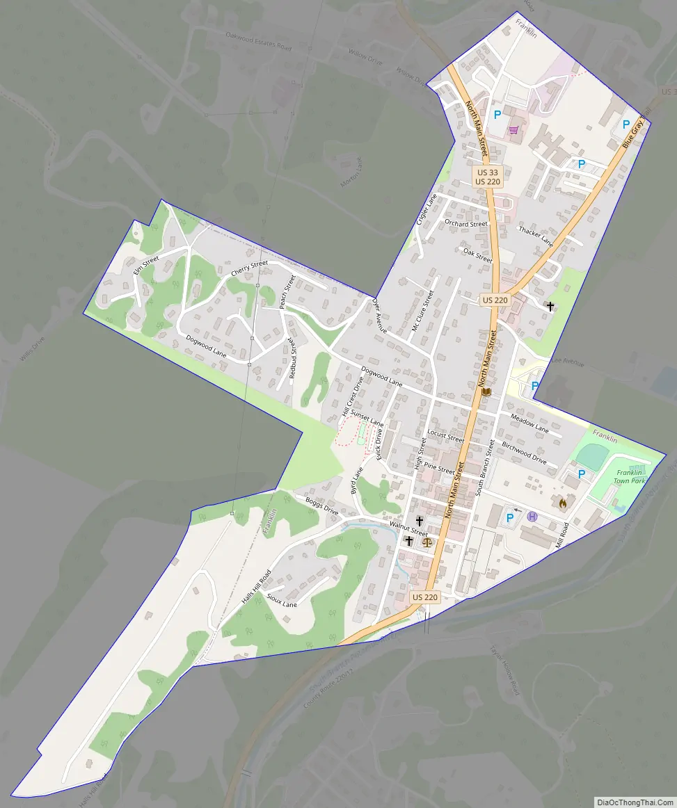
Franklin Road Map
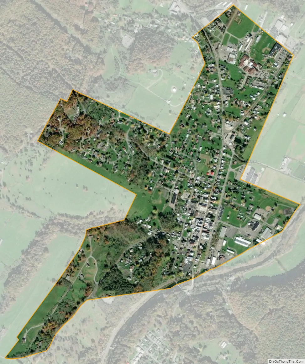
Franklin city Satellite Map
Geography
Franklin is located at 38°38′51″N 79°19′54″W / 38.64750°N 79.33167°W / 38.64750; -79.33167 (38.647400, -79.331557).
According to the United States Census Bureau, the town has a total area of 0.56 square miles (1.45 km), all land.
Climate
The climate in this area has mild differences between highs and lows, and there is adequate rainfall year-round. According to the Köppen Climate Classification system, Franklin has a marine west coast climate, abbreviated “Cfb” on climate maps.
See also
Map of West Virginia State and its subdivision:- Barbour
- Berkeley
- Boone
- Braxton
- Brooke
- Cabell
- Calhoun
- Clay
- Doddridge
- Fayette
- Gilmer
- Grant
- Greenbrier
- Hampshire
- Hancock
- Hardy
- Harrison
- Jackson
- Jefferson
- Kanawha
- Lewis
- Lincoln
- Logan
- Marion
- Marshall
- Mason
- McDowell
- Mercer
- Mineral
- Mingo
- Monongalia
- Monroe
- Morgan
- Nicholas
- Ohio
- Pendleton
- Pleasants
- Pocahontas
- Preston
- Putnam
- Raleigh
- Randolph
- Ritchie
- Roane
- Summers
- Taylor
- Tucker
- Tyler
- Upshur
- Wayne
- Webster
- Wetzel
- Wirt
- Wood
- Wyoming
- Alabama
- Alaska
- Arizona
- Arkansas
- California
- Colorado
- Connecticut
- Delaware
- District of Columbia
- Florida
- Georgia
- Hawaii
- Idaho
- Illinois
- Indiana
- Iowa
- Kansas
- Kentucky
- Louisiana
- Maine
- Maryland
- Massachusetts
- Michigan
- Minnesota
- Mississippi
- Missouri
- Montana
- Nebraska
- Nevada
- New Hampshire
- New Jersey
- New Mexico
- New York
- North Carolina
- North Dakota
- Ohio
- Oklahoma
- Oregon
- Pennsylvania
- Rhode Island
- South Carolina
- South Dakota
- Tennessee
- Texas
- Utah
- Vermont
- Virginia
- Washington
- West Virginia
- Wisconsin
- Wyoming