Halifax County is a county located in the Commonwealth of Virginia. As of the 2020 census, the population was 34,022. Its county seat is Halifax.
| Name: | Halifax County |
|---|---|
| FIPS code: | 51-083 |
| State: | Virginia |
| Founded: | 1752 |
| Named for: | George Montagu-Dunk, 2nd Earl of Halifax |
| Seat: | Halifax |
| Largest town: | South Boston |
| Total Area: | 830 sq mi (2,100 km²) |
| Land Area: | 818 sq mi (2,120 km²) |
| Total Population: | 34,022 |
| Population Density: | 41/sq mi (16/km²) |
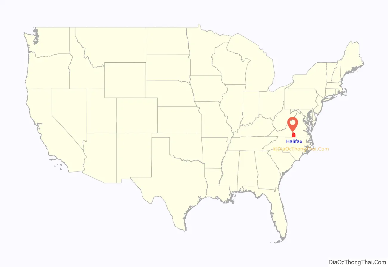
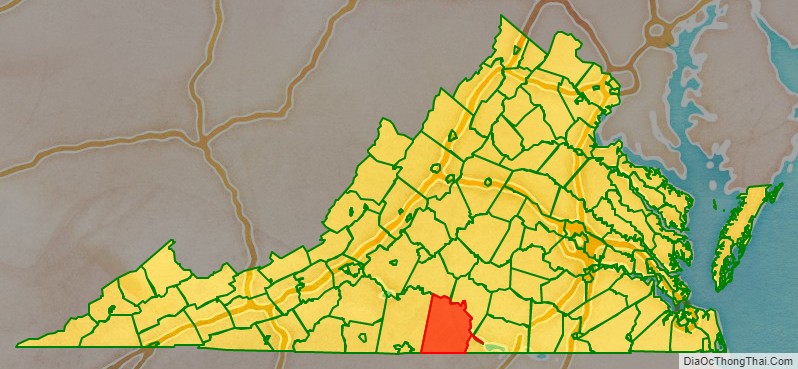
Halifax County location map. Where is Halifax County?
History
Occupied by varying cultures of indigenous peoples for thousands of years, in historic times English colonists encountered Siouan language Native Americans. Halifax County was established in 1752 by English colonists from Lunenburg County. The county was named for George Montagu-Dunk, 2nd Earl of Halifax.
Through the 1990 Census, South Boston was an independent city, but it became a town again and rejoined Halifax County in 1995.
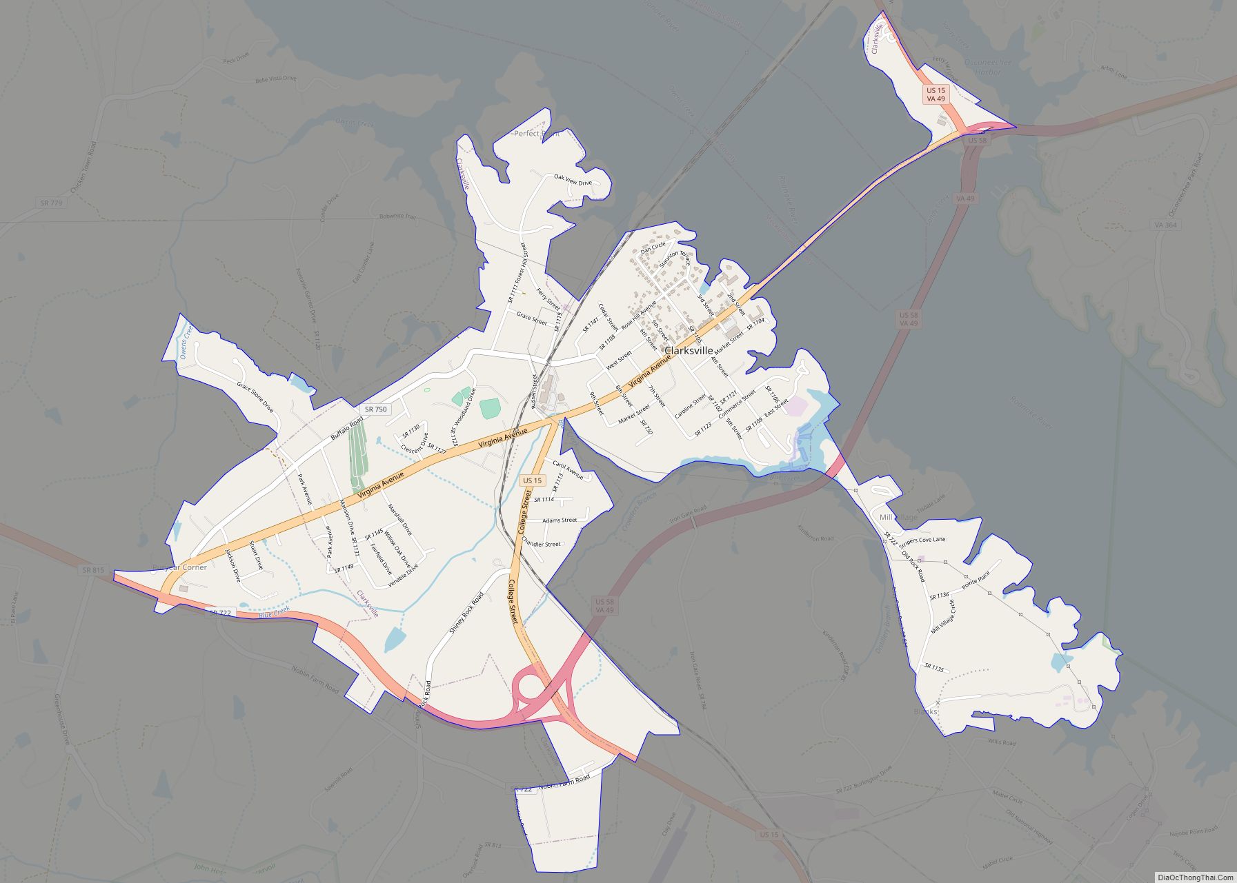
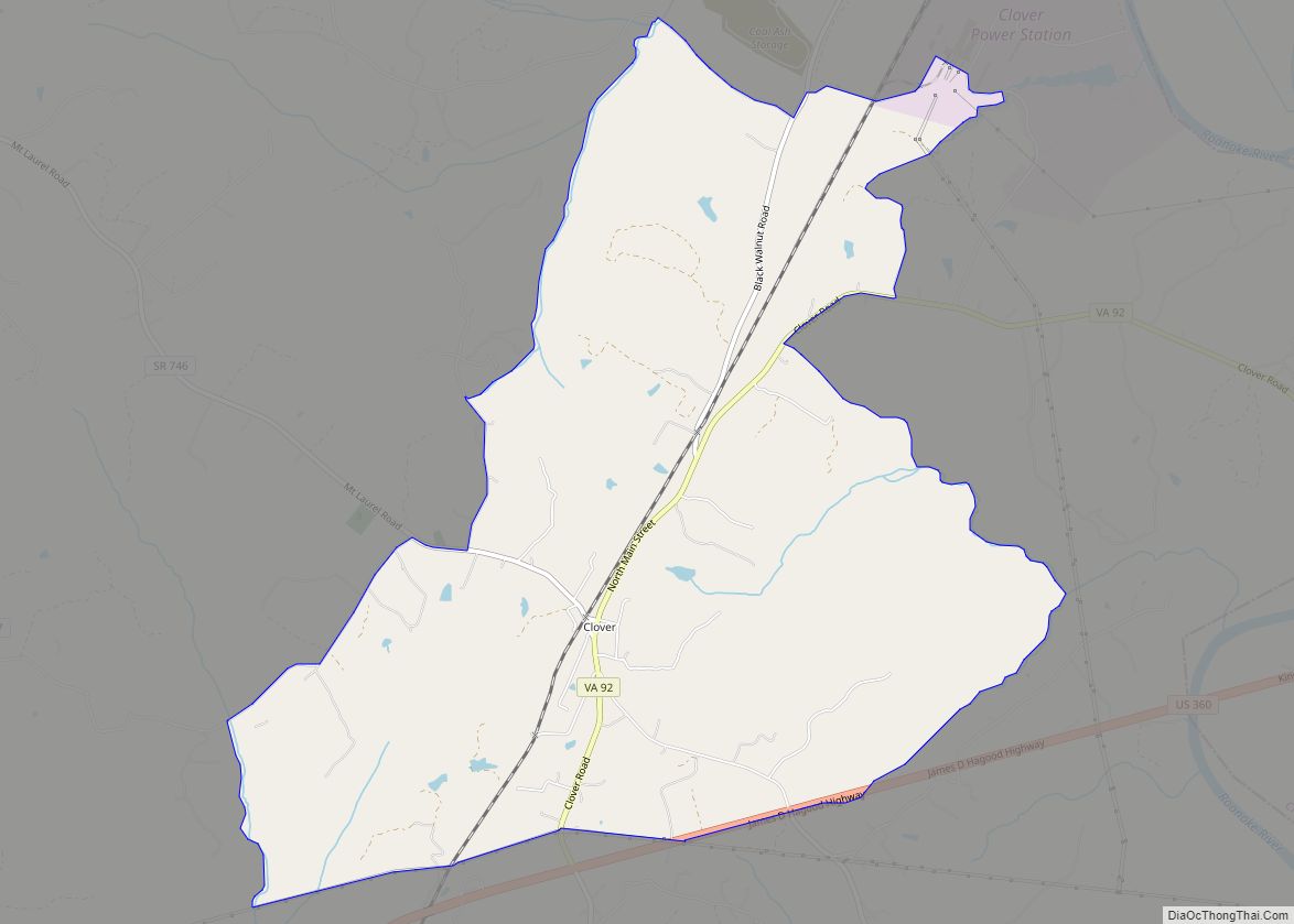
Halifax County Road Map
Geography
According to the U.S. Census Bureau, the county has a total area of 830 square miles (2,100 km), of which 818 square miles (2,120 km) is land and 12 square miles (31 km) (1.4%) is water.
Adjacent counties
- Campbell County – northwest
- Charlotte County – northeast
- Mecklenburg County – east
- Granville County, North Carolina – southeast
- Person County, North Carolina – south
- Caswell County, North Carolina – southwest
- Pittsylvania County – west
Major highways
- US 58
- US 360
- US 501
- SR 34
- SR 40
- SR 49
- SR 57
- SR 92
- SR 96
- SR 119
- SR 129
- SR 304
- SR 344
- SR 349
- SR 360
