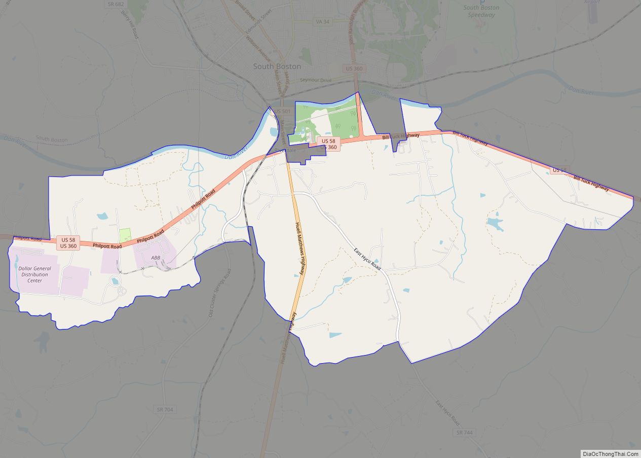
South Boston, formerly Boyd’s Ferry, is a town in Halifax County, Virginia, United States. The population was 8,142 at the 2010 census, down from 8,491 at the 2000 census. It is the most populous town in Halifax County.
| Name: | South Boston town |
|---|---|
| LSAD Code: | 43 |
| LSAD Description: | town (suffix) |
| State: | Virginia |
| County: | Halifax County |
| Elevation: | 430 ft (130 m) |
| Total Area: | 13.15 sq mi (34.07 km²) |
| Land Area: | 13.06 sq mi (33.83 km²) |
| Water Area: | 0.09 sq mi (0.24 km²) |
| Total Population: | 8,142 |
| Population Density: | 580.92/sq mi (224.30/km²) |
| ZIP code: | 24592 |
| Area code: | 434 |
| FIPS code: | 5173712 |
| GNISfeature ID: | 1501641 |
| Website: | www.southboston.com |
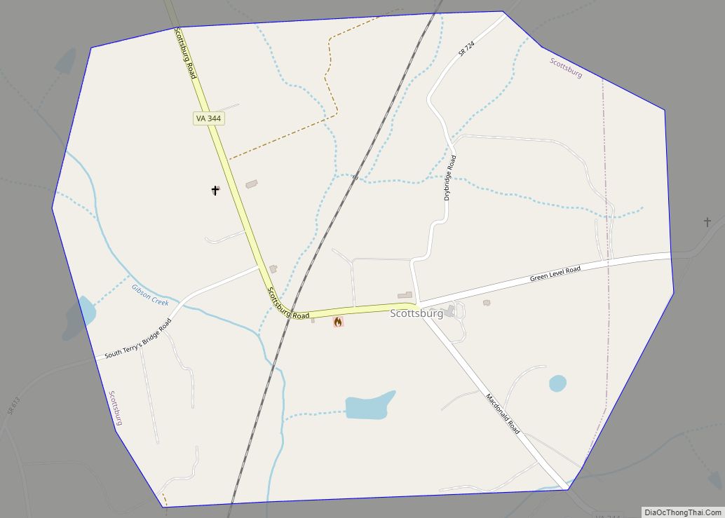
Online Interactive Map
Click on ![]() to view map in "full screen" mode.
to view map in "full screen" mode.
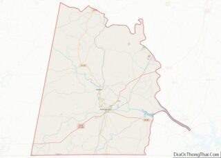
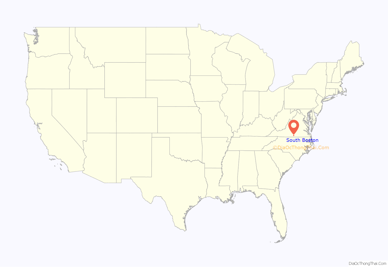
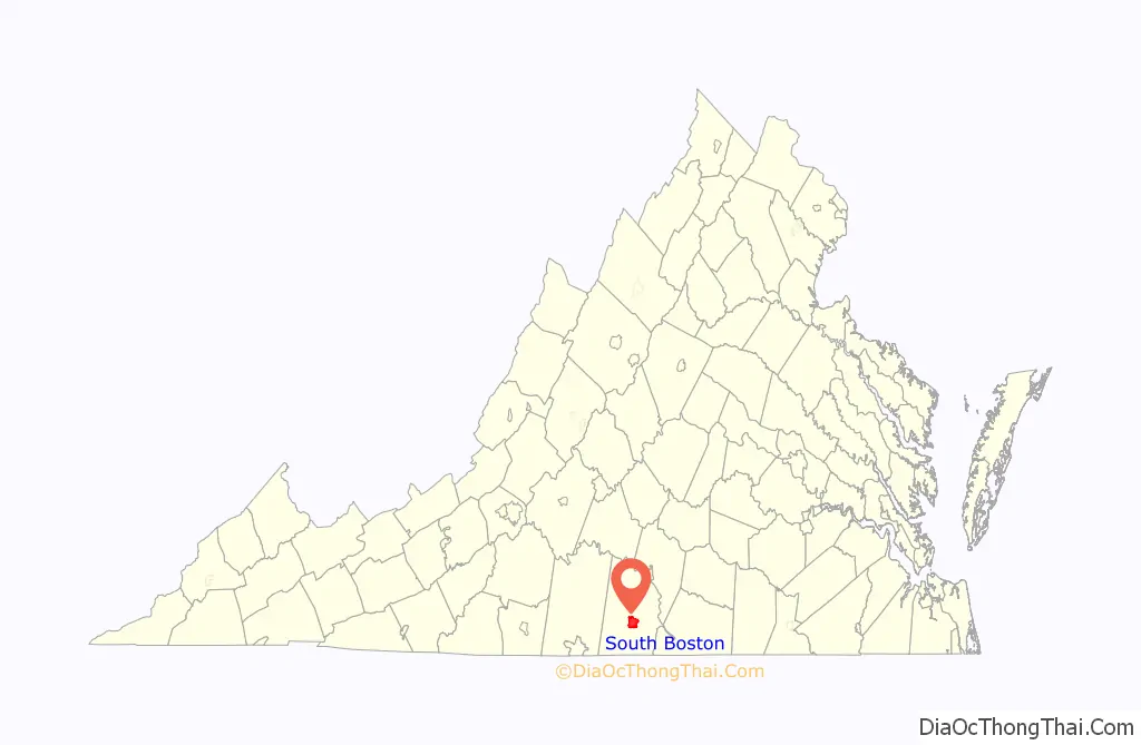
South Boston location map. Where is South Boston town?
History
On December 8, 1796, the Virginia General Assembly authorized eight commissioners to establish at Boyd’s Ferry on the south side of the Dan River the town of South Boston, named for Boston, Massachusetts. Because this site proved vulnerable to flooding, it was eventually abandoned in favor of a new settlement on the north side. By the 1850s the Richmond and Danville Railroad passed through South Boston, which eventually developed into an important market for brightleaf tobacco. In 1884 it was incorporated as a town; in 1960 it became an independent city; and in 1995 it made history by being the first city in Virginia to revert to town status and rejoined Halifax County.
Within the town limits Berry Hill Plantation, E. L. Evans House, Reedy Creek Site, South Boston Historic District, are listed on the National Register of Historic Places. Fourqurean House, Glennmary, Glenwood, Tarover, and Seaton are nearby.
South Boston was home to the National Tobacco Festival (a typically three day annual festival held every Fall) from its inception in 1935 to 1941, when it was suspended during World War II. In 1948, the festival was moved to Richmond, Virginia when it outgrew the town. It was held in Richmond until 1984, when it was canceled due to rising production costs and decreased interest. South Boston was the second largest producer of tobacco in the United States until the Great Depression.
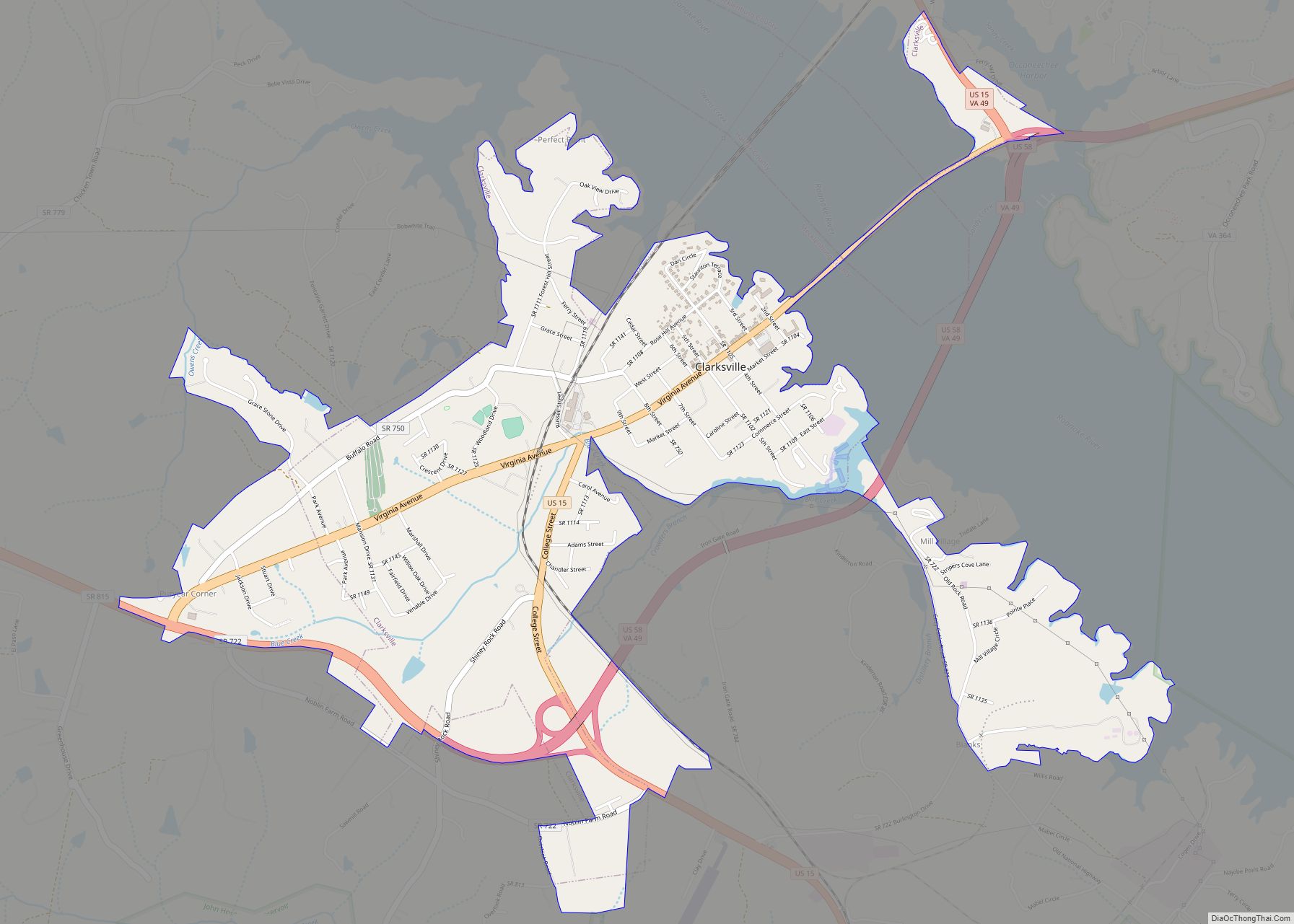
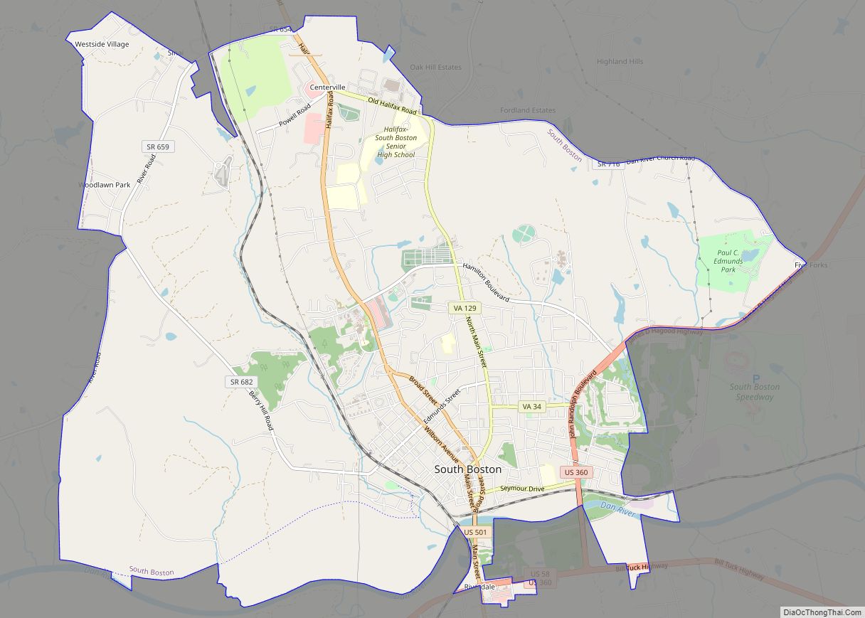
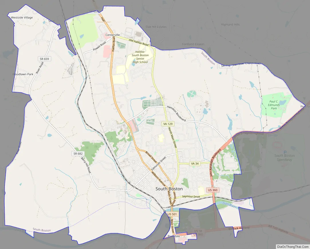
South Boston Road Map
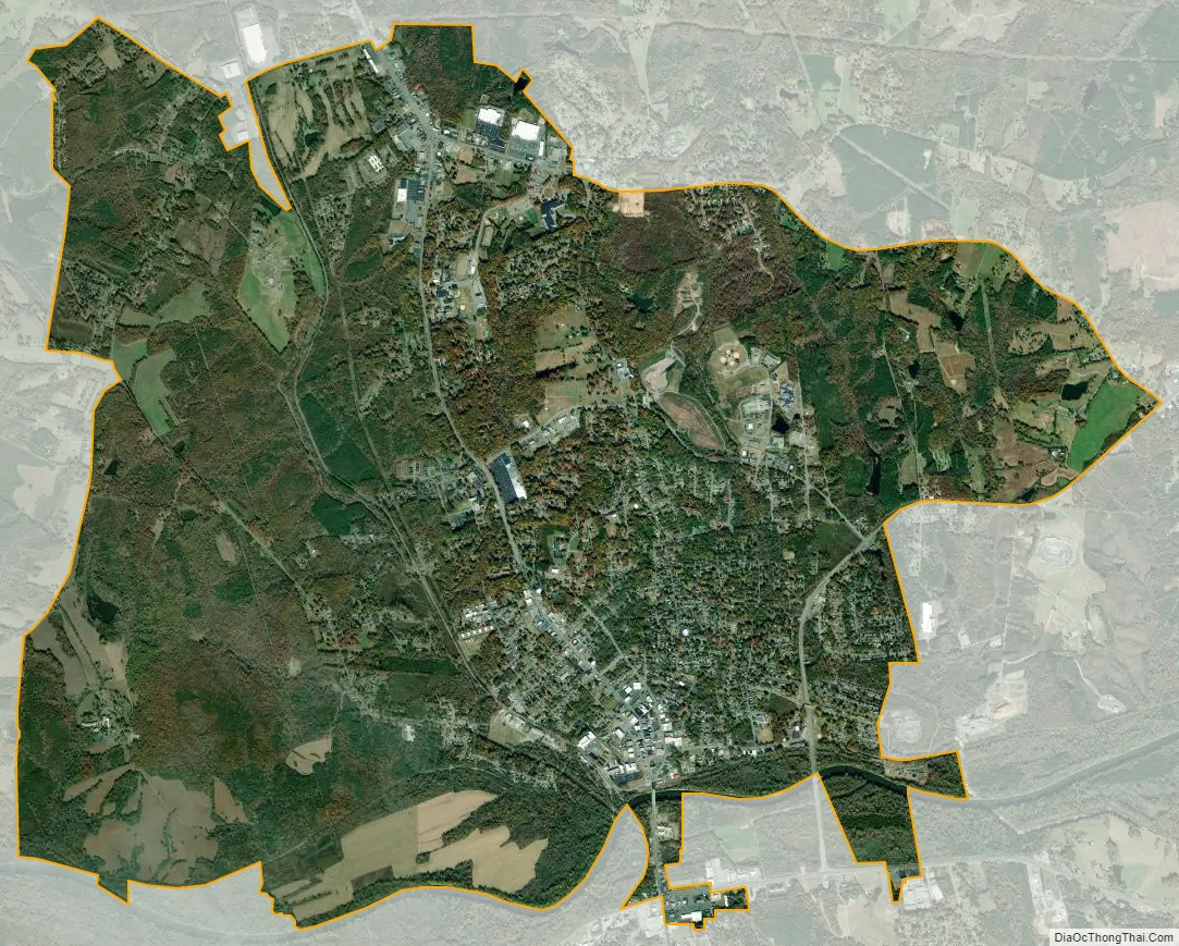
South Boston city Satellite Map
Geography
South Boston is located south of the center of Halifax County at 36°42′28″N 78°54′12″W / 36.70778°N 78.90333°W / 36.70778; -78.90333 (36.707722, −78.903388). It is bordered to the south by the unincorporated community of Riverdale. U.S. Route 501 passes through the center of the town, leading north 5 miles (8 km) to Halifax, the county seat, and south 23 miles (37 km) to Roxboro, North Carolina. U.S. Route 360 crosses the southeast corner of the town limits, leading northeast 37 miles (60 km) to Keysville and west 31 miles (50 km) to Danville. U.S. Route 58 passes through the southernmost part of South Boston with US 360, leading west with it to Danville but running east 48 miles (77 km) to South Hill.
According to the United States Census Bureau, South Boston has a total area of 13.2 square miles (34.1 km), of which 13.1 square miles (33.8 km) are land and 0.1 square miles (0.3 km), or 0.74%, are water. The Dan River, a tributary of the Roanoke River, flows to the east along the southern edge of the town.
See also
Map of Virginia State and its subdivision:- Accomack
- Albemarle
- Alexandria
- Alleghany
- Amelia
- Amherst
- Appomattox
- Arlington
- Augusta
- Bath
- Bedford
- Bedford City
- Bland
- Botetourt
- Bristol
- Brunswick
- Buchanan
- Buckingham
- Buena Vista
- Campbell
- Caroline
- Carroll
- Charles City
- Charlotte
- Charlottesville
- Chesapeake
- Chesterfield
- Clarke
- Clifton Forge City
- Colonial Heights
- Covington
- Craig
- Culpeper
- Cumberland
- Danville
- Dickenson
- Dinwiddie
- Emporia
- Essex
- Fairfax
- Fairfax City
- Falls Church
- Fauquier
- Floyd
- Fluvanna
- Franklin
- Frederick
- Fredericksburg
- Galax
- Giles
- Gloucester
- Goochland
- Grayson
- Greene
- Greensville
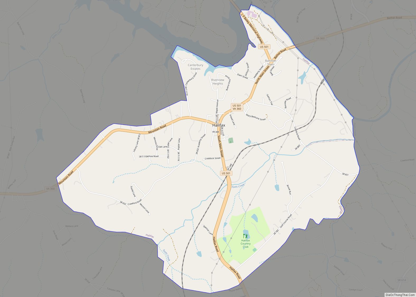
- Halifax
- Hampton
- Hanover
- Harrisonburg
- Henrico
- Henry
- Highland
- Hopewell
- Isle of Wight
- James City
- King and Queen
- King George
- King William
- Lancaster
- Lee
- Lexington
- Loudoun
- Louisa
- Lunenburg
- Lynchburg
- Madison
- Manassas
- Manassas Park
- Martinsville
- Mathews
- Mecklenburg
- Middlesex
- Montgomery
- Nelson
- New Kent
- Newport News
- Norfolk
- Northampton
- Northumberland
- Norton
- Nottoway
- Orange
- Page
- Patrick
- Petersburg
- Pittsylvania
- Poquoson
- Portsmouth
- Powhatan
- Prince Edward
- Prince George
- Prince William
- Pulaski
- Radford
- Rappahannock
- Richmond
- Roanoke
- Roanoke City
- Rockbridge
- Rockingham
- Russell
- Salem
- Scott
- Shenandoah
- Smyth
- Southampton
- Spotsylvania
- Stafford
- Staunton
- Suffolk
- Surry
- Sussex
- Tazewell
- Virginia Beach
- Warren
- Washington
- Waynesboro
- Westmoreland
- Williamsburg
- Winchester
- Wise
- Wythe
- York
- Alabama
- Alaska
- Arizona
- Arkansas
- California
- Colorado
- Connecticut
- Delaware
- District of Columbia
- Florida
- Georgia
- Hawaii
- Idaho
- Illinois
- Indiana
- Iowa
- Kansas
- Kentucky
- Louisiana
- Maine
- Maryland
- Massachusetts
- Michigan
- Minnesota
- Mississippi
- Missouri
- Montana
- Nebraska
- Nevada
- New Hampshire
- New Jersey
- New Mexico
- New York
- North Carolina
- North Dakota
- Ohio
- Oklahoma
- Oregon
- Pennsylvania
- Rhode Island
- South Carolina
- South Dakota
- Tennessee
- Texas
- Utah
- Vermont
- Virginia
- Washington
- West Virginia
- Wisconsin
- Wyoming