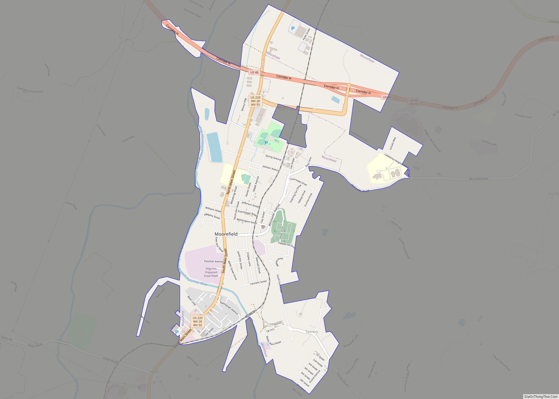
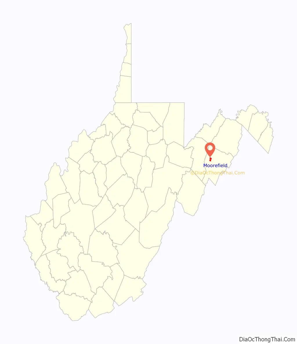
Moorefield is a town and the county seat of Hardy County, West Virginia, United States. It is located at the confluence of the South Branch Potomac River and the South Fork South Branch Potomac River. Moorefield was originally chartered in 1777; it was named for Conrad Moore, who owned the land upon which the town was laid out. The population was 2,527 at the 2020 census.
| Name: | Moorefield town |
|---|---|
| LSAD Code: | 43 |
| LSAD Description: | town (suffix) |
| State: | West Virginia |
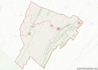
| County: | Hardy County |
| Elevation: | 810 ft (247 m) |
| Total Area: | 2.77 sq mi (7.17 km²) |
| Land Area: | 2.72 sq mi (7.04 km²) |
| Water Area: | 0.05 sq mi (0.13 km²) |
| Total Population: | 2,527 |
| Population Density: | 889.30/sq mi (343.37/km²) |
| ZIP code: | 26836 |
| Area code: | 304 |
| FIPS code: | 5455588 |
| GNISfeature ID: | 1543520 |
Online Interactive Map
Click on ![]() to view map in "full screen" mode.
to view map in "full screen" mode.
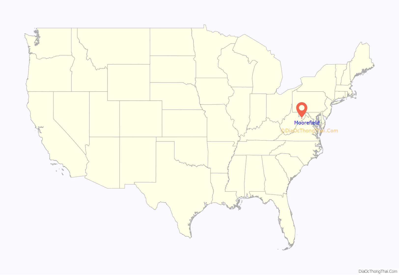
Moorefield location map. Where is Moorefield town?
History
Moorefield is situated in the South Branch Valley along the South Branch of the Potomac River. Native Americans populated this area for thousands of years. For centuries, they farmed along the river and hunted in the surrounding mountains. The historic Shawnee people, who spoke a Central Algonquian language in the same family as other tribes in their region, occupied this area when Anglo-European settlers began arriving in the early 18th century, attracted by the fertile land. This early settlement was centered on the community of Old Fields, referring to former Native American lands. This is located about five miles to the north of present-day Moorefield.
Conflict between the mostly British settlers and Native American peoples broke out during the French and Indian War. The British colonists constructed two fortifications to guard the South Branch Valley in the vicinity of Moorefield. Fort Buttermilk was erected in 1756 and garrisoned by Captain Thomas Waggoner’s Virginia Regiment Company. A second fortress, Fort Pleasant, situated at Henry Van Meter’s Farm at Old Fields, guarded the northern side of the valley. It was also garrisoned by Waggoner’s Virginia Regiment Company. In the spring of 1756, soldiers from Forts Buttermilk and Pleasant clashed with Shawnee warriors under Bemino (also known as Killbuck) at the Battle of the Trough.
Colonist Conrad Moore owned the land on which Moorefield was laid out. In 1777, the Virginia General Assembly chartered the town of Moorefield in what was then Hampshire County, Virginia (today Hardy County, West Virginia). When Hardy County was separated from Hampshire County by act of the Virginia General Assembly in 1785, after the American Revolution, Moorefield was chosen as the county seat. Many of the historic houses in Moorefield date to the last quarter of the 18th century and first quarter of the 19th century; they display vernacular adaptations of Federal and Greek Revival architecture.
During the American Civil War, Moorefield was the site of a cavalry engagement between Union Brigadier General William W. Averell and Confederate Brigadier General John McCausland on August 7, 1864, in which Averell routed McCausland. This was part of the Valley Campaigns of 1864. That summer, Averell was the only Union commander to achieve successes against Confederate forces.
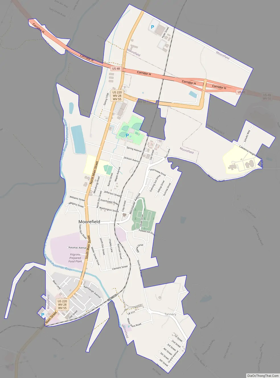
Moorefield Road Map
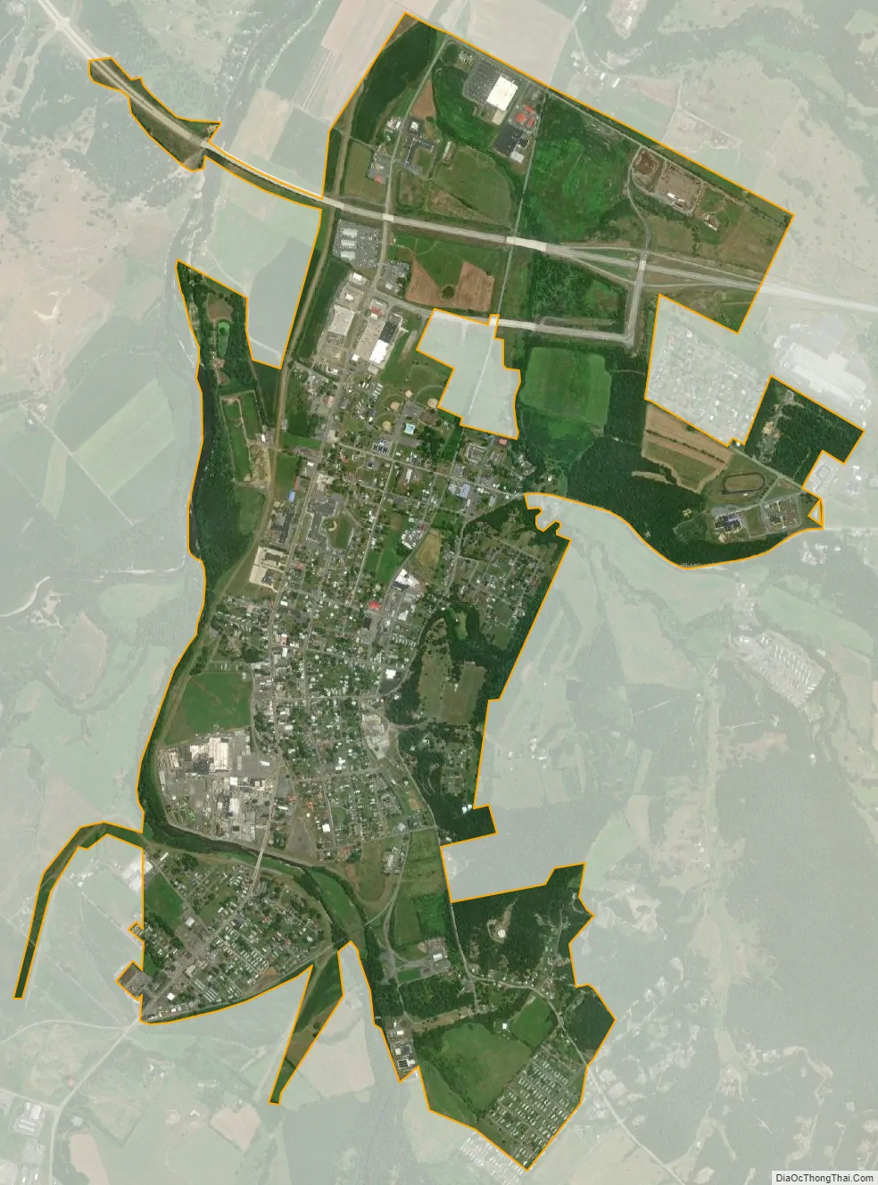
Moorefield city Satellite Map
Geography
Moorefield is located at 39°4′N 78°58′W / 39.067°N 78.967°W / 39.067; -78.967 (39.063, -78.966).
According to the United States Census Bureau, the town has a total area of 2.40 square miles (6.22 km), of which 2.35 square miles (6.09 km) is land and 0.05 square miles (0.13 km) is water.
Climate
The climate in this area is characterized by hot, humid summers and generally mild to cool winters. According to the Köppen Climate Classification system, Moorefield has a humid subtropical climate, abbreviated “Cfa” on climate maps.
See also
Map of West Virginia State and its subdivision:- Barbour
- Berkeley
- Boone
- Braxton
- Brooke
- Cabell
- Calhoun
- Clay
- Doddridge
- Fayette
- Gilmer
- Grant
- Greenbrier
- Hampshire
- Hancock
- Hardy
- Harrison
- Jackson
- Jefferson
- Kanawha
- Lewis
- Lincoln
- Logan
- Marion
- Marshall
- Mason
- McDowell
- Mercer
- Mineral
- Mingo
- Monongalia
- Monroe
- Morgan
- Nicholas
- Ohio
- Pendleton
- Pleasants
- Pocahontas
- Preston
- Putnam
- Raleigh
- Randolph
- Ritchie
- Roane
- Summers
- Taylor
- Tucker
- Tyler
- Upshur
- Wayne
- Webster
- Wetzel
- Wirt
- Wood
- Wyoming
- Alabama
- Alaska
- Arizona
- Arkansas
- California
- Colorado
- Connecticut
- Delaware
- District of Columbia
- Florida
- Georgia
- Hawaii
- Idaho
- Illinois
- Indiana
- Iowa
- Kansas
- Kentucky
- Louisiana
- Maine
- Maryland
- Massachusetts
- Michigan
- Minnesota
- Mississippi
- Missouri
- Montana
- Nebraska
- Nevada
- New Hampshire
- New Jersey
- New Mexico
- New York
- North Carolina
- North Dakota
- Ohio
- Oklahoma
- Oregon
- Pennsylvania
- Rhode Island
- South Carolina
- South Dakota
- Tennessee
- Texas
- Utah
- Vermont
- Virginia
- Washington
- West Virginia
- Wisconsin
- Wyoming