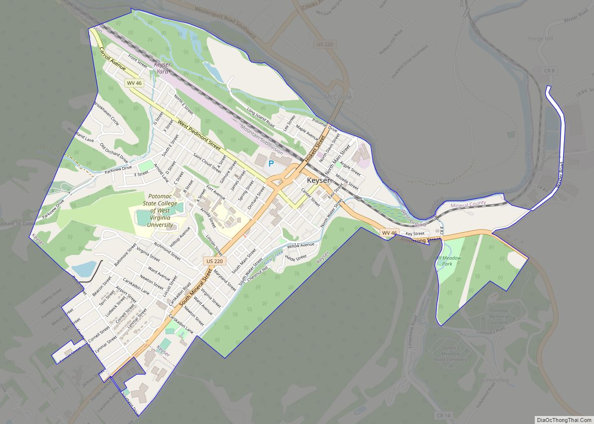
Keyser (/ˈkaɪ.zər/) is a city in and the county seat of Mineral County, West Virginia. It is part of the Cumberland, MD-WV Metropolitan Statistical Area. The population was 4,853 at the 2020 census.
| Name: | Keyser city |
|---|---|
| LSAD Code: | 25 |
| LSAD Description: | city (suffix) |
| State: | West Virginia |
| County: | Mineral County |
| Elevation: | 807 ft (246 m) |
| Total Area: | 1.98 sq mi (5.12 km²) |
| Land Area: | 1.98 sq mi (5.12 km²) |
| Water Area: | 0.00 sq mi (0.00 km²) |
| Total Population: | 4,853 |
| Population Density: | 2,488.61/sq mi (960.77/km²) |
| ZIP code: | 26726 |
| Area code: | 304 |
| FIPS code: | 5443492 |
| GNISfeature ID: | 1541180 |
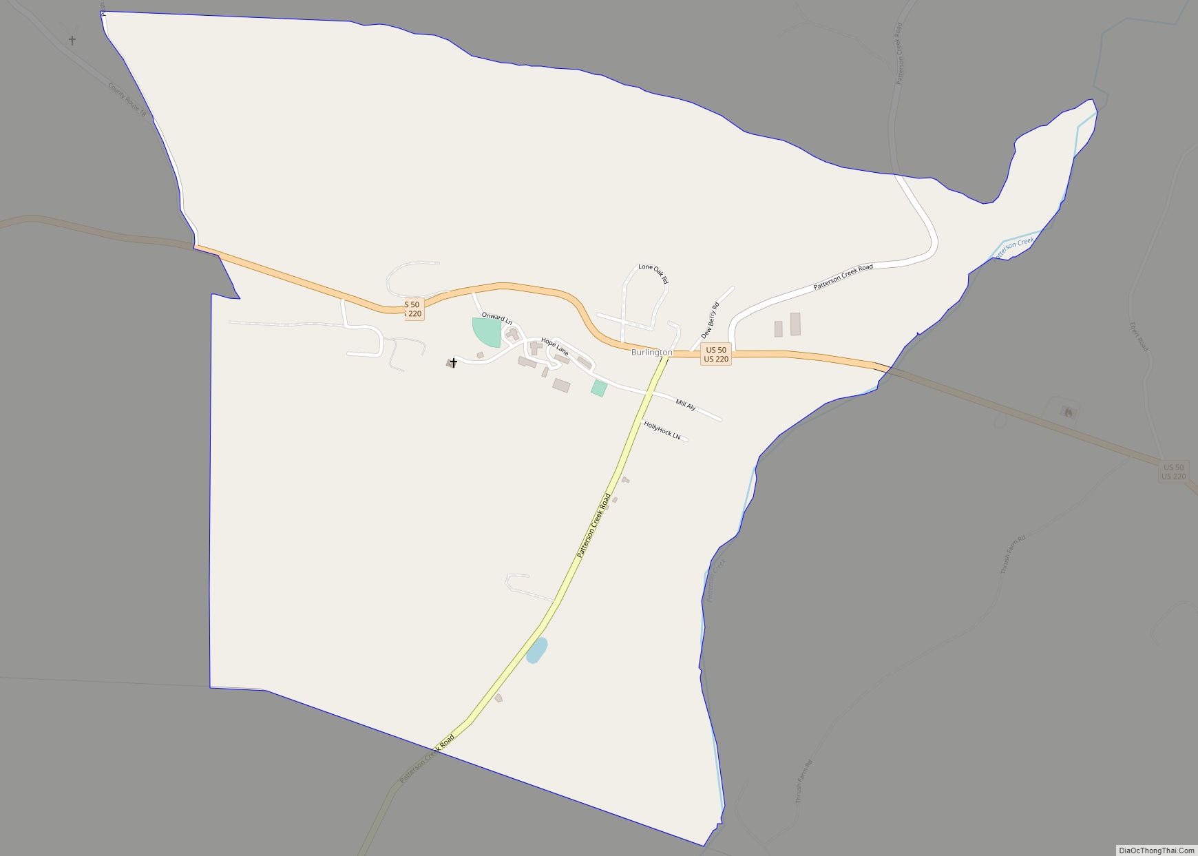
Online Interactive Map
Click on ![]() to view map in "full screen" mode.
to view map in "full screen" mode.
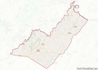
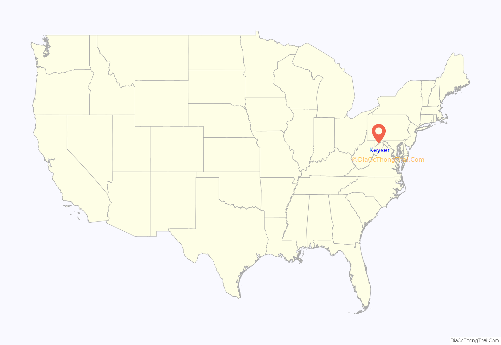
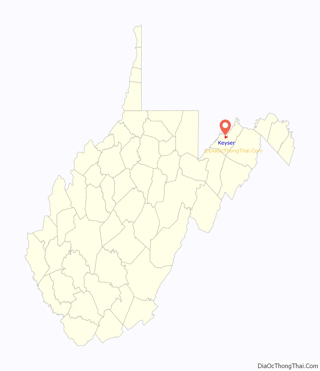
Keyser location map. Where is Keyser city?
History
Keyser, the county seat of Mineral County, is located on the North Branch of the Potomac River at its juncture with New Creek in the Eastern Panhandle of West Virginia. Throughout the centuries, the town went through a series of name changes, but was ultimately named after William Keyser, a Baltimore and Ohio Railroad official.
The first local land grant was issued by Lord Fairfax to Christopher Beelor on March 20, 1752. The place was first called Paddy Town, for Patrick McCarty, an Irish immigrant who came to then-Hampshire County, Virginia, sometime after 1740. Eventually, a community developed, which was also known as “the Irish Settlement.” Initially a peaceful village, Paddy Town came under repeated attacks by Native Americans after French and Indian forces defeated Major General Edward Braddock west of Paddy Town in 1755. Patrick McCarty’s son, Edward McCarty, built an iron furnace and foundry and a salt well, near present-day Armstrong Street.
In the early 19th century, the Chesapeake and Ohio Canal (C&O Canal) was constructed alongside the Potomac, from Washington, DC, to Cumberland, Maryland. Originally planned to reach the Ohio River, the canal never reached Paddy Town; after being overtaken by the railroad, the canal stopped as far west as Cumberland. By 1844, Paddy Town fell into decline, which reversed when the town received an economic boost in 1852 when the Baltimore & Ohio Railroad, in search of a path through the Alleghenies, arrived. Sometime between 1855 and the start of the Civil War, the townsfolk renamed the village New Creek Station, after the creek that runs by it.
In 1861, the American Civil War came to New Creek Station in then-Hampshire County, Virginia, when the Union established Fort Fuller. The railroad that had been a blessing to the town had turned into a curse, drawing repeated assaults by Confederate forces. Because of its geography, a relatively flat plain in a valley surrounded by mountains and open to many approaches, New Creek was an easy target for Confederates. The area changed hands 14 times during the war due to the importance of the railroad. Complete disaster finally visited New Creek on November 28, 1864, when Fort Fuller was overcome; the Confederates then took over the town, destroying the earthworks and nearly all the buildings. A smaller Confederate force was then sent to Piedmont, where they managed to burn the Baltimore and Ohio Railroad’s roundhouse, a workshop, and other machinery before they were turned away by Company A Sixth West Virginia Volunteers.
Following the war, the state legislature sent the Hampshire County seat back to Romney and split this northern half away to form Mineral County in 1866, eventually settling on New Creek to become the county seat, with the courthouse completed in 1868. In 1874, the Baltimore & Ohio Railroad was looking for a place to set up division headquarters. Thus, on November 16, 1874, the town of Keyser was incorporated, named after William Keyser then the first vice president of the railroad, living in nearby Garrett County, Maryland, and in charge of the headquarters location division. In addition to the headquarters, the renamed town of Keyser received repair shops and a roundhouse, lifting employment and economic activity. Keyser played an early and prominent role in the Great Railroad Strike of 1877, attracting the attention of national news and the involvement of Federal authorities.
Keyser’s growth accelerated in the 1880s, with the end of the Long Depression, through the turn of the century. Infrastructure improvements attracted more industry, and Keyser’s private sector began to diversify beyond its sometimes problematic dominant employer, the Baltimore & Ohio. Besides the B&O, railroad workers were now employed by the Western Maryland Railroad and the West Virginia Central Railroad. On February 3, 1913, the West Virginia legislature granted Keyser a charter designating it the “City of Keyser” (though the name was nearly changed during WWI due to the connotations of its pronunciation as “kaiser”). In 1924, Keyser experienced massive flooding of the Potomac River, which brought widespread damage to homes and businesses.
In the 20th century, Keyser’s economy relied heavily on manufacturing and the railroad. While after WWII, Keyser experienced another boom in industry, the town was hit hard by the economic crises of the 1970s and early 1980s, resulting in numerous industrial closures. Although Keyser’s fortunes were generally tied the national economy through the centuries, the town did not experience the 1990s economic boom in the same way as other parts of the country. Since losing much of its manufacturing base, the town found employment via health care, education, and service jobs. Potomac State College has continued to develop and is associated with West Virginia University.
The Thomas R. Carskadon House and Mineral County Courthouse are listed on the National Register of Historic Places.
Keyser Road Map
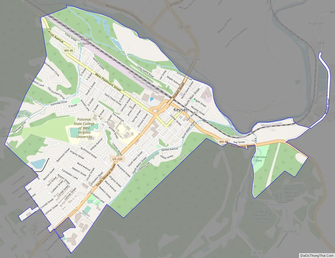
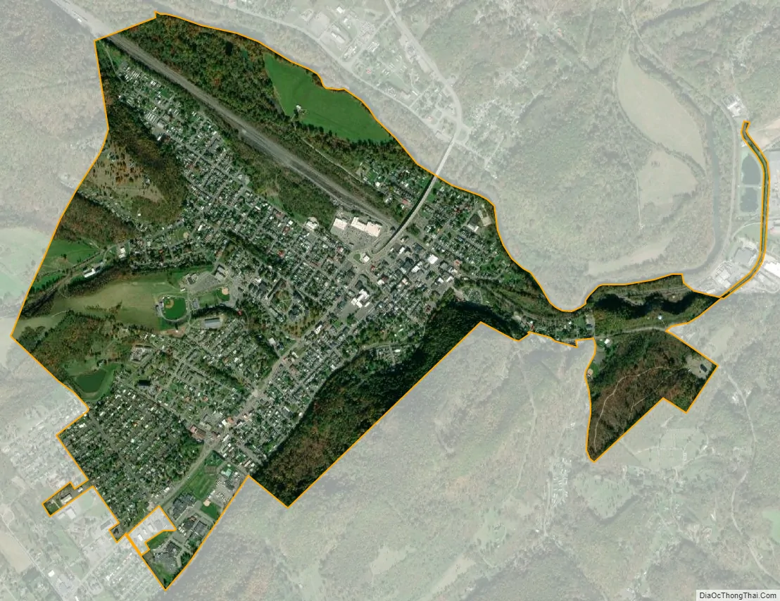
Keyser city Satellite Map
Geography
According to the U.S. Census Bureau, the city has a total area of 1.92 square miles (4.97 km), all land. It is situated in a valley on the south side of the North Branch of the Potomac River at its junction with New Creek. New Creek forms most of the eastern boundary of the town. On the immediate eastern bank of New Creek is New Creek Mountain, peaking at 1,552 feet above sea level on the eastern side of Keyser (though the long mountain itself has higher peaks far south of Keyser). On Keyser’s western edge is the Allegheny Front, rising 2,631 feet above sea level at this point along its range. The northern edge of Keyser is bounded by the North Branch of the Potomac River. Immediately across the river, in McCoole, Maryland, another portion of the New Creek Mountain ridge features a massive outcropping of Oriskany or Ridgeley sandstone known as Queens Point, a popular cliff from which to take in views of Keyser. The cliff is approximately 400 feet above the river. The southern edge of Keyser is not bound by geology, as the valley here stretches farther south than the city limits. Beyond its southern limits is the unincorporated community of New Creek.
Today, Keyser’s western horizon is dotted with wind turbines. The NedPower Mount Storm Wind Farm began construction in 2006, installing 132 wind turbines atop the Allegheny Front, many of them overlooking Keyser. Eventually, the wind farm reached 162 turbines, making it the largest east of the Mississippi.
Keyser’s oldest section is its downtown with the 1868 courthouse and two main commercial streets: Main and Armstrong. Armstrong runs parallel to the CSX (formerly B&O) railroad tracks, across which is a neighborhood known as the North End, sandwiched between the tracks and the river, where homes were constructed beginning in the late 1910s. Not far from downtown is Fort Hill, a small hill in the center of the city crowned with the campus of Potomac State College. The south end of Keyser features a relatively newer neighborhood, on the west side of U.S. Route 220, with most of the homes built in the 1960s and 1970s, known as Airport Addition, as it was once the site of a small airfield. An area sandwiched between Airport Addition and Potomac State College is known as “Radical Hill,” which was the name of Thomas Carskadon’s farm in the same location, so named by Carskadon because of his self-described radical opinions. The most recent commercial development for the city has been south of the city, where shopping centers, a hotel, the new high school, and the new hospital have been constructed in recent years.
The main thoroughfares for the city are U.S. Route 220 and West Virginia Route 46. U.S. Route 220 eventually intersects with U.S. Route 50 south of Keyser. At its north end, 220 crosses the Potomac via the newly reconstructed Memorial Bridge, heading toward Cumberland, Maryland. West Virginia Route 46 enters the east side of Keyser from the direction of Fort Ashby, West Virginia, becoming Armstrong Street and then West Piedmont Street before continuing on to Piedmont, West Virginia.
Geology
The type locality of the Silurian/Devonian Keyser Formation, a limestone, is located in a quarry and roadcut east of the town.
See also
Map of West Virginia State and its subdivision:- Barbour
- Berkeley
- Boone
- Braxton
- Brooke
- Cabell
- Calhoun
- Clay
- Doddridge
- Fayette
- Gilmer
- Grant
- Greenbrier
- Hampshire
- Hancock
- Hardy
- Harrison
- Jackson
- Jefferson
- Kanawha
- Lewis
- Lincoln
- Logan
- Marion
- Marshall
- Mason
- McDowell
- Mercer
- Mineral
- Mingo
- Monongalia
- Monroe
- Morgan
- Nicholas
- Ohio
- Pendleton
- Pleasants
- Pocahontas
- Preston
- Putnam
- Raleigh
- Randolph
- Ritchie
- Roane
- Summers
- Taylor
- Tucker
- Tyler
- Upshur
- Wayne
- Webster
- Wetzel
- Wirt
- Wood
- Wyoming
- Alabama
- Alaska
- Arizona
- Arkansas
- California
- Colorado
- Connecticut
- Delaware
- District of Columbia
- Florida
- Georgia
- Hawaii
- Idaho
- Illinois
- Indiana
- Iowa
- Kansas
- Kentucky
- Louisiana
- Maine
- Maryland
- Massachusetts
- Michigan
- Minnesota
- Mississippi
- Missouri
- Montana
- Nebraska
- Nevada
- New Hampshire
- New Jersey
- New Mexico
- New York
- North Carolina
- North Dakota
- Ohio
- Oklahoma
- Oregon
- Pennsylvania
- Rhode Island
- South Carolina
- South Dakota
- Tennessee
- Texas
- Utah
- Vermont
- Virginia
- Washington
- West Virginia
- Wisconsin
- Wyoming