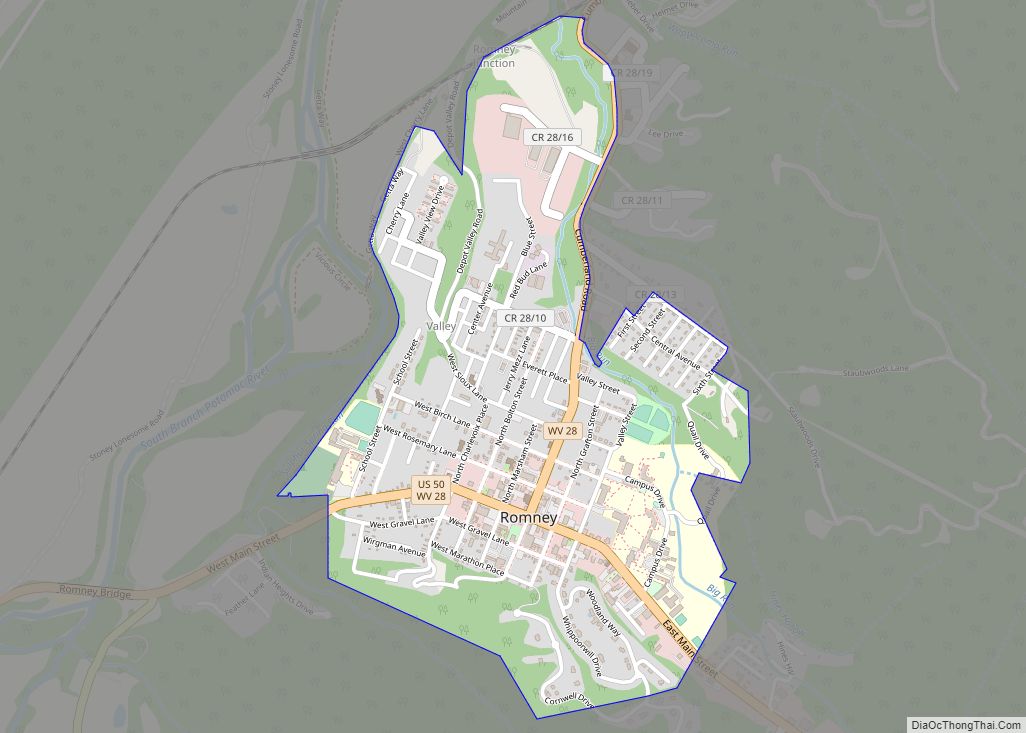
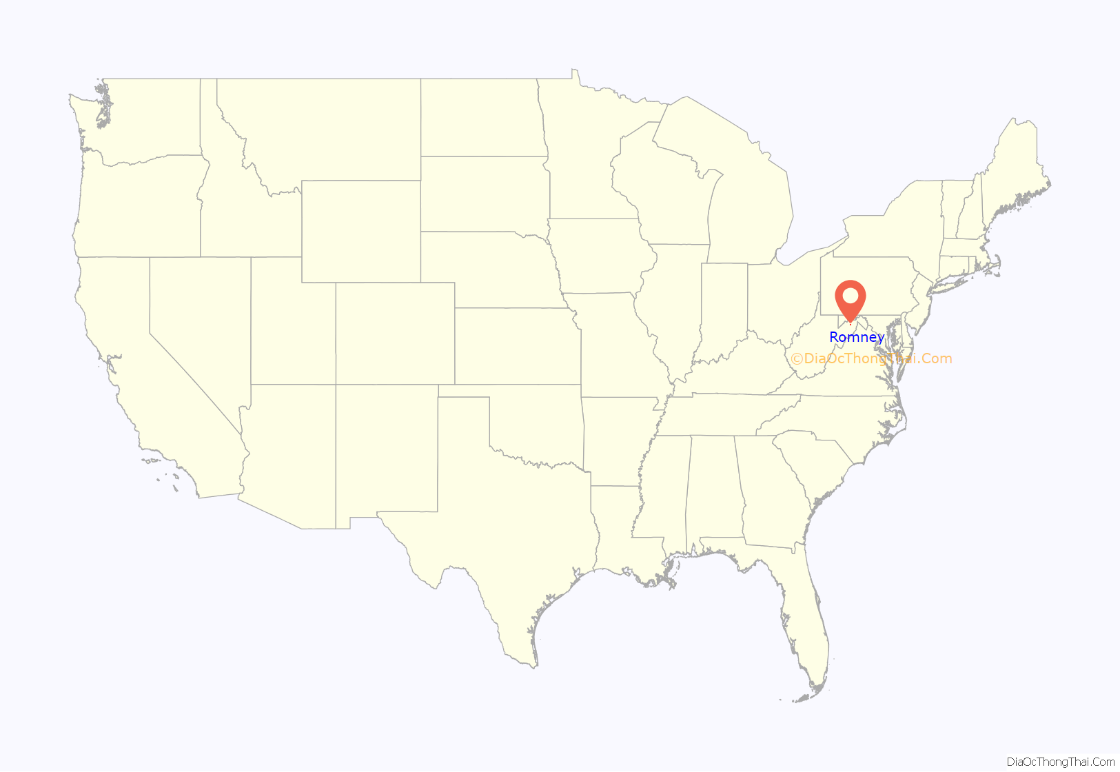
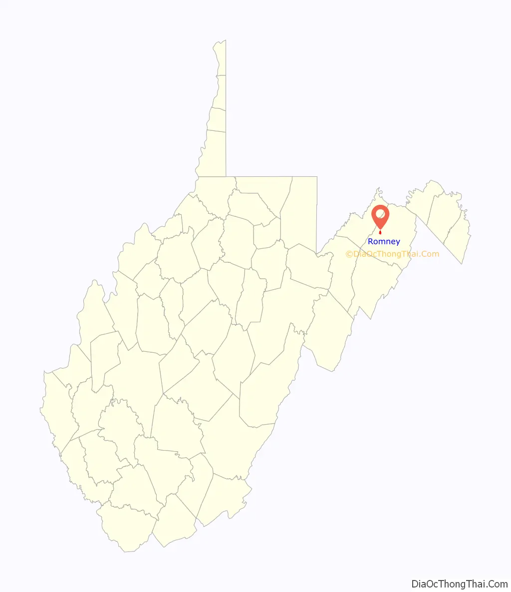
Romney is a town in and the county seat of Hampshire County, West Virginia, United States. The population was 1,722 at the 2020 census. It is part of the Winchester, Virginia metropolitan area. Established in 1762 along with Shepherdstown, they are the oldest towns in West Virginia.
| Name: | Romney city |
|---|---|
| LSAD Code: | 25 |
| LSAD Description: | city (suffix) |
| State: | West Virginia |
| County: | Hampshire County |
| Elevation: | 820 ft (250 m) |
| Total Area: | 0.96 sq mi (2.49 km²) |
| Land Area: | 0.96 sq mi (2.49 km²) |
| Water Area: | 0.00 sq mi (0.00 km²) |
| Total Population: | 1,722 |
| Population Density: | 1,763.79/sq mi (681.32/km²) |
| ZIP code: | 26757 |
| Area code: | 304 |
| FIPS code: | 5470084 |
| GNISfeature ID: | 1560582 |
| Website: | townofromney.com |
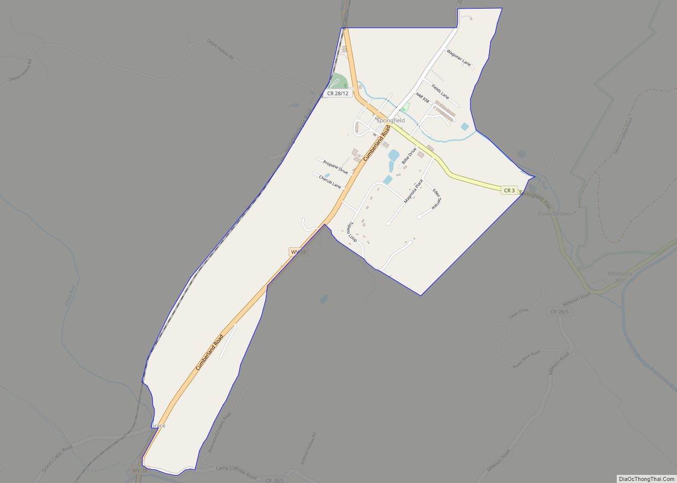
Online Interactive Map
Click on ![]() to view map in "full screen" mode.
to view map in "full screen" mode.
Romney location map. Where is Romney city?
History
Established by consecutive acts of the Virginia House of Burgesses and approved by the governor on December 23, 1762, Romney and Mecklenburg (later renamed Shepherdstown), in Jefferson County, are the oldest towns in West Virginia. The bill containing the Act for establishing the town of Romney, in the county of Hampshire, and for other purposes therein-mentioned, is listed 20th on a list of approved “publick and private bills” and is immediately followed by An Act for establishing the town of Mecklenburg, in the county of Frederick.
Originally settled in 1725 by hunters and traders, Romney was known as Pearsall’s Flats and was the site of the French and Indian War stockade Fort Pearsall. Named for the Cinque Ports town of Romney, Kent, England, by Thomas Fairfax, 6th Lord Fairfax of Cameron, the town still bears place names and symbols from its colonial past such as its Marsham Street, named for Robert Marsham, 2nd Baron Romney. It is also home to the West Virginia Schools for the Deaf and Blind and the nation’s First Confederate Memorial in Indian Mound Cemetery.
Romney Academy was first incorporated by the Virginia General Assembly on January 11, 1814, and was active until 1846 when it was reorganized as the Romney Classical Institute. Romney Academy was one of the earliest institutions for higher learning within the present boundaries of the state of West Virginia. The Romney Classical Institute, a coeducational collegiate preparatory school, survived until 1866. The loss of members due to the American Civil War forced its closure.
The Romney Expedition of the Confederate States Army occurred in the early American Civil War. It was part of the preliminary actions of Stonewall Jackson’s Valley Campaign as Jackson cleared Union Army troops led by Major General Nathaniel Banks and Brigadier General William S. Rosecrans from the lower Shenandoah Valley and surrounding Allegheny ranges, and then successfully severed the Baltimore and Ohio Railroad and the Chesapeake and Ohio Canal. His army advanced from Winchester towards Cumberland, Maryland, but withdrew after reaching Romney due to harsh winter conditions. Romney was occupied by both Union and Confederate soldiers multiple times throughout the war.
The West Virginia Schools for the Deaf and the Blind was established in 1870 upon the campus of the Romney Classical Institute.
Romney Road Map
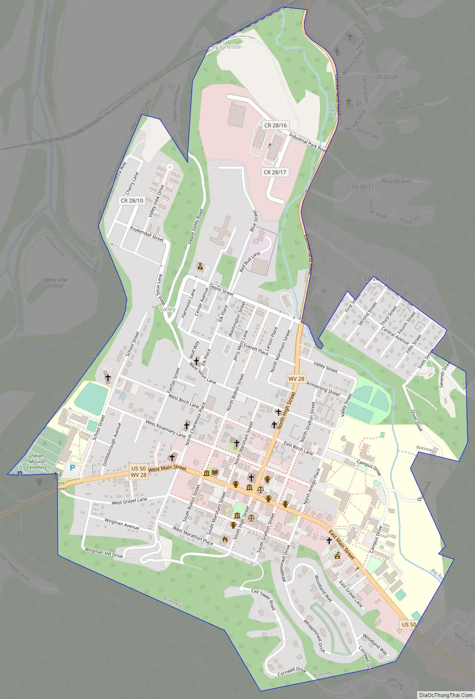
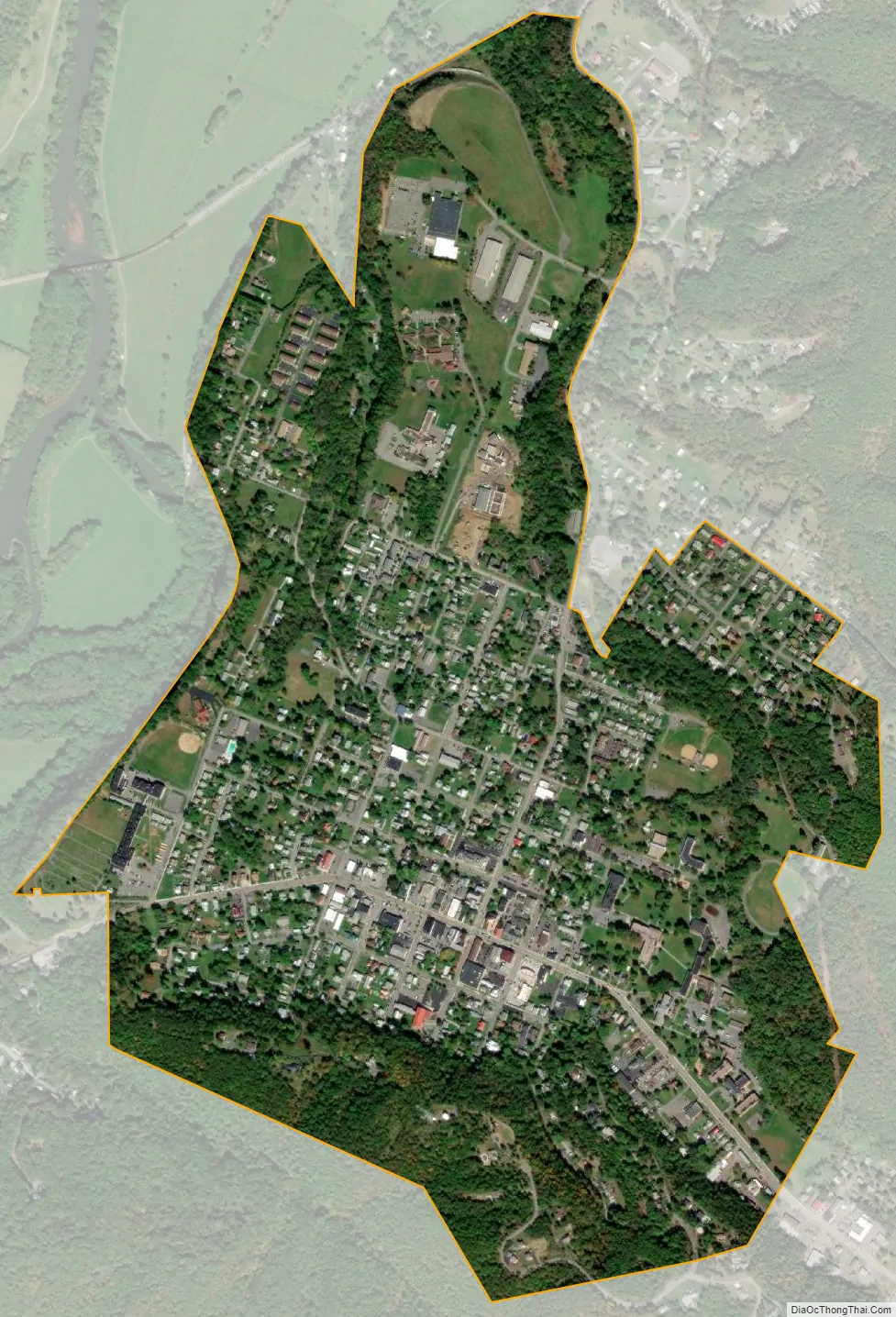
Romney city Satellite Map
Geography
Romney is located at 39°20′42″N 78°45′25″W / 39.34500°N 78.75694°W / 39.34500; -78.75694 (39.344915, -78.756960).
According to the United States Census Bureau, the city has a total area of 0.96 square miles (2.49 km), all land.
Climate
The climate in this area is characterized by hot, humid summers and generally cold winters. According to the Köppen Climate Classification system, Romney has a humid continental climate, abbreviated “Cfa” on climate maps.
See also
Map of West Virginia State and its subdivision:- Barbour
- Berkeley
- Boone
- Braxton
- Brooke
- Cabell
- Calhoun
- Clay
- Doddridge
- Fayette
- Gilmer
- Grant
- Greenbrier
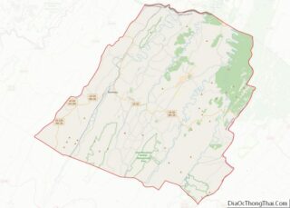
- Hampshire
- Hancock
- Hardy
- Harrison
- Jackson
- Jefferson
- Kanawha
- Lewis
- Lincoln
- Logan
- Marion
- Marshall
- Mason
- McDowell
- Mercer
- Mineral
- Mingo
- Monongalia
- Monroe
- Morgan
- Nicholas
- Ohio
- Pendleton
- Pleasants
- Pocahontas
- Preston
- Putnam
- Raleigh
- Randolph
- Ritchie
- Roane
- Summers
- Taylor
- Tucker
- Tyler
- Upshur
- Wayne
- Webster
- Wetzel
- Wirt
- Wood
- Wyoming
- Alabama
- Alaska
- Arizona
- Arkansas
- California
- Colorado
- Connecticut
- Delaware
- District of Columbia
- Florida
- Georgia
- Hawaii
- Idaho
- Illinois
- Indiana
- Iowa
- Kansas
- Kentucky
- Louisiana
- Maine
- Maryland
- Massachusetts
- Michigan
- Minnesota
- Mississippi
- Missouri
- Montana
- Nebraska
- Nevada
- New Hampshire
- New Jersey
- New Mexico
- New York
- North Carolina
- North Dakota
- Ohio
- Oklahoma
- Oregon
- Pennsylvania
- Rhode Island
- South Carolina
- South Dakota
- Tennessee
- Texas
- Utah
- Vermont
- Virginia
- Washington
- West Virginia
- Wisconsin
- Wyoming