Henry County is a county located in the U.S. state of Illinois. The 2010 United States Census, listed its population at 50,486. Its county seat is Cambridge.
Henry County is included in the Davenport–Moline–Rock Island, IA-IL Metropolitan Statistical Area.
| Name: | Henry County |
|---|---|
| FIPS code: | 17-073 |
| State: | Illinois |
| Founded: | 13 January 1825 |
| Named for: | Patrick Henry |
| Seat: | Cambridge |
| Largest city: | Kewanee |
| Total Area: | 826 sq mi (2,140 km²) |
| Land Area: | 823 sq mi (2,130 km²) |
| Total Population: | 49,284 |
| Population Density: | 60/sq mi (23/km²) |
| Time zone: | UTC−6 (Central) |
| Summer Time Zone (DST): | UTC−5 (CDT) |
| Website: | www.henrycty.com |
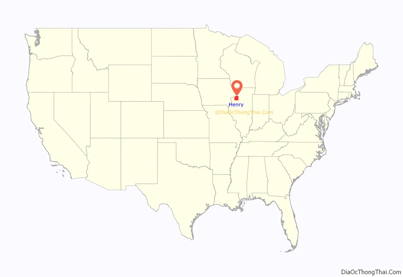
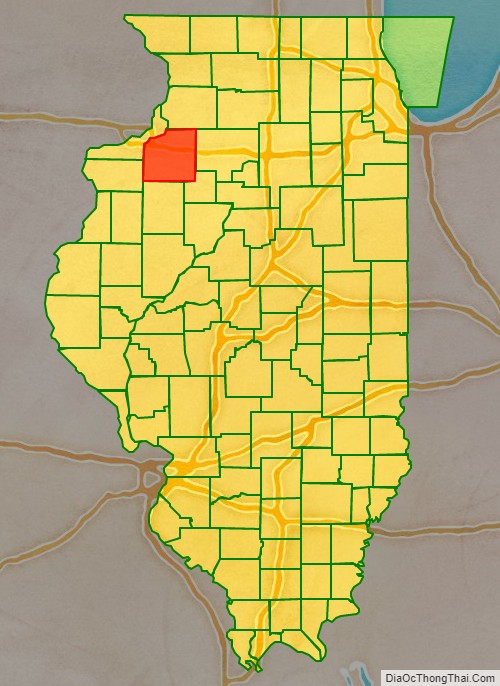
Henry County location map. Where is Henry County?
History
Henry County was formed on January 13, 1825, out of Fulton County, Illinois. It is named for Patrick Henry, Revolutionary War firebrand and champion of individual rights, to whom the slogan “give me liberty, or give me death” is attributed. The county was settled by people from New England and western New York, descendants of English Puritans who settled New England in the colonial era. The New England settlers founded the five towns of Andover, Wethersfield, Geneseo, Morristown and La Grange.
The settlement of Cambridge came about in 1843, when the owner of the land in that area (Rev. Ithamar Pillsbury) dedicated a section of his properties to a town council; lots were sold to incoming settlers, and construction of the town proper began on 9 June 1843. The incoming “Yankee” settlers made Henry County culturally similar to early New England culture.
Henry County from the time of its creation to 1827
The county between 1827 and 1831
Henry between 1831 and 1836
Henry in 1836, after Whiteside County was created
Henry County Road Map
Geography
According to the US Census Bureau, the county has a total area of 826 square miles (2,140 km), of which 823 square miles (2,130 km) is land and 2.7 square miles (7.0 km) (0.3%) is water. It is the 29th largest of Illinois’ 102 counties. The area is fairly flat, with elevations ranging from 650 feet above sea level in the northwest to 850 in the southeast. About 456,596 acres (1,847.78 km) or 86.7% of the county’s land area, is used for agriculture.
Climate and weather
In recent years, average temperatures in the county seat of Cambridge have ranged from a low of 13 °F (−11 °C) in January to a high of 86 °F (30 °C) in July, although a record low of −24 °F (−31 °C) was recorded in February 1996 and a record high of 103 °F (39 °C) was recorded in July 1983. Average monthly precipitation ranged from 1.52 inches (39 mm) in January to 4.32 inches (110 mm) in August.
Major highways
- Interstate 74
- Interstate 80
- Interstate 280
- U.S. Highway 6
- U.S. Highway 34
- Illinois Route 17
- Illinois Route 78
- Illinois Route 81
- Illinois Route 82
- Illinois Route 84
- Illinois Route 92
- Illinois Route 93
Adjacent counties
- Rock Island County – northwest
- Whiteside County – northeast
- Bureau County – east
- Stark County – southeast
- Knox County – south
- Mercer County – west
