Harbor Beach is a city in Huron County in the U.S. state of Michigan. The population was 1,604 at the 2020 census.
| Name: | Harbor Beach city |
|---|---|
| LSAD Code: | 25 |
| LSAD Description: | city (suffix) |
| State: | Michigan |
| County: | Huron County |
| Incorporated: | 1910 (city) |
| Elevation: | 600 ft (183 m) |
| Total Area: | 2.06 sq mi (5.33 km²) |
| Land Area: | 1.72 sq mi (4.46 km²) |
| Water Area: | 0.34 sq mi (0.87 km²) |
| Total Population: | 1,604 |
| Population Density: | 932.02/sq mi (359.90/km²) |
| Area code: | 989 |
| FIPS code: | 2636460 |
| GNISfeature ID: | 0627752 |
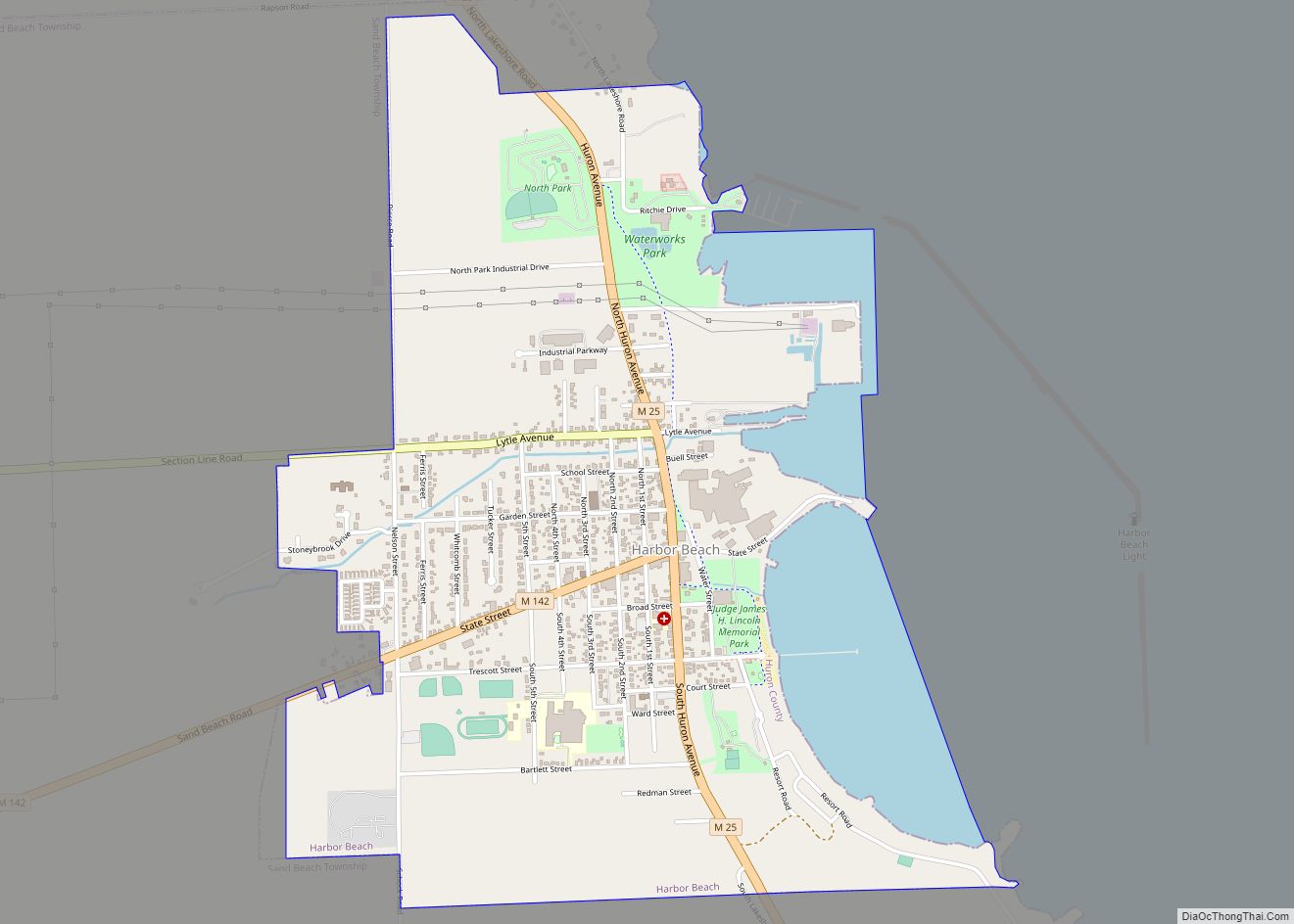
Online Interactive Map
Click on ![]() to view map in "full screen" mode.
to view map in "full screen" mode.
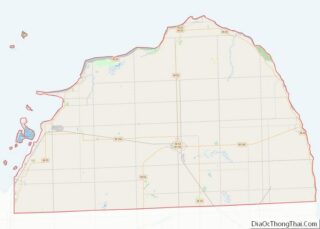
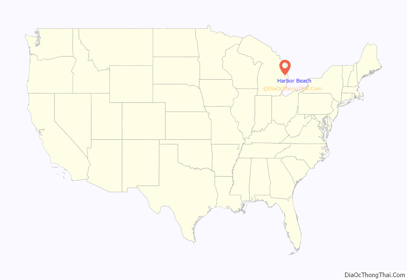
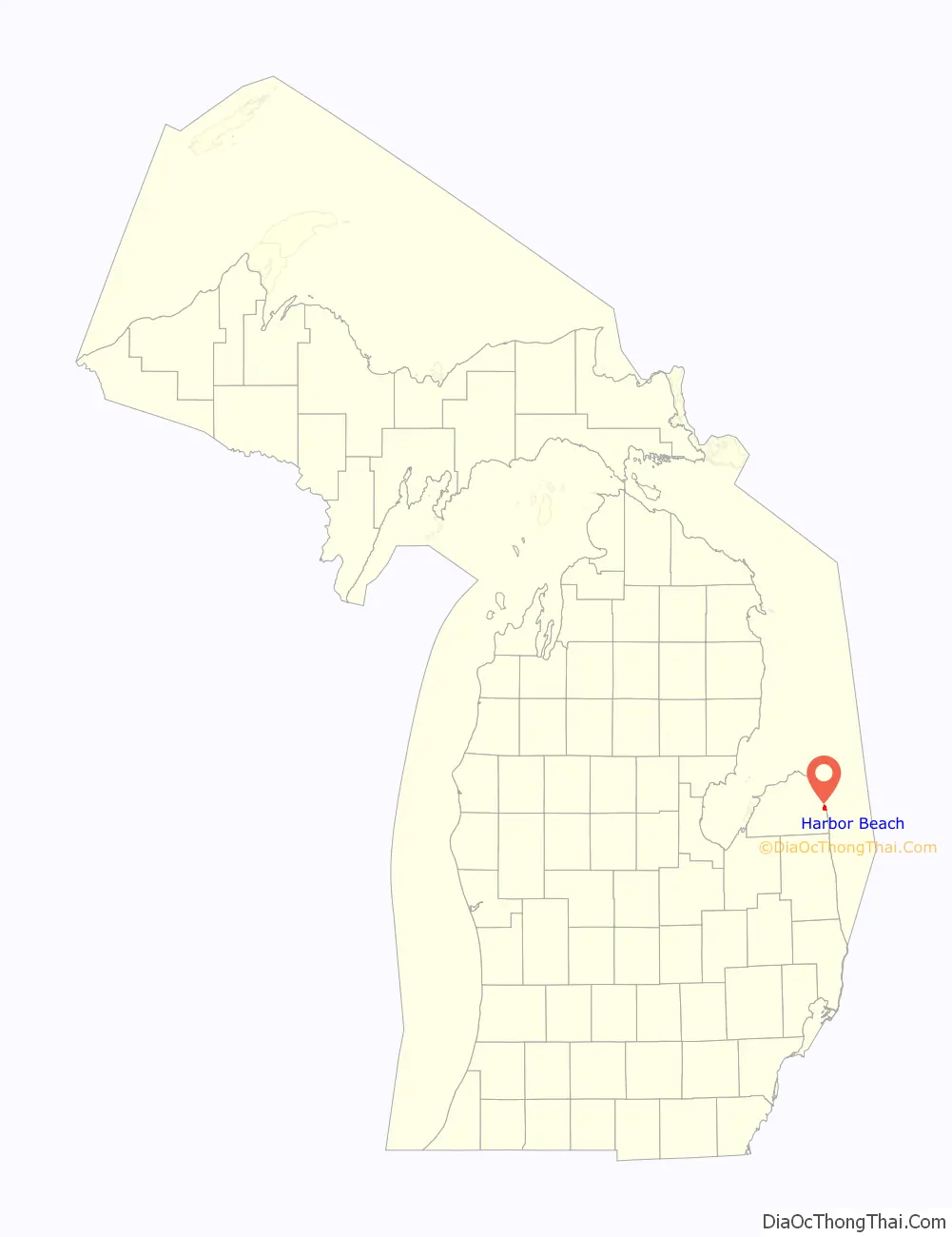
Harbor Beach location map. Where is Harbor Beach city?
History
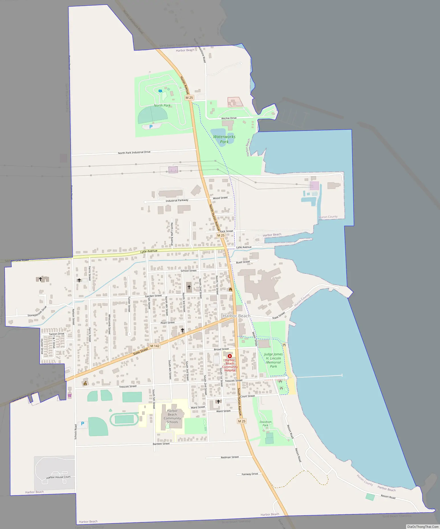
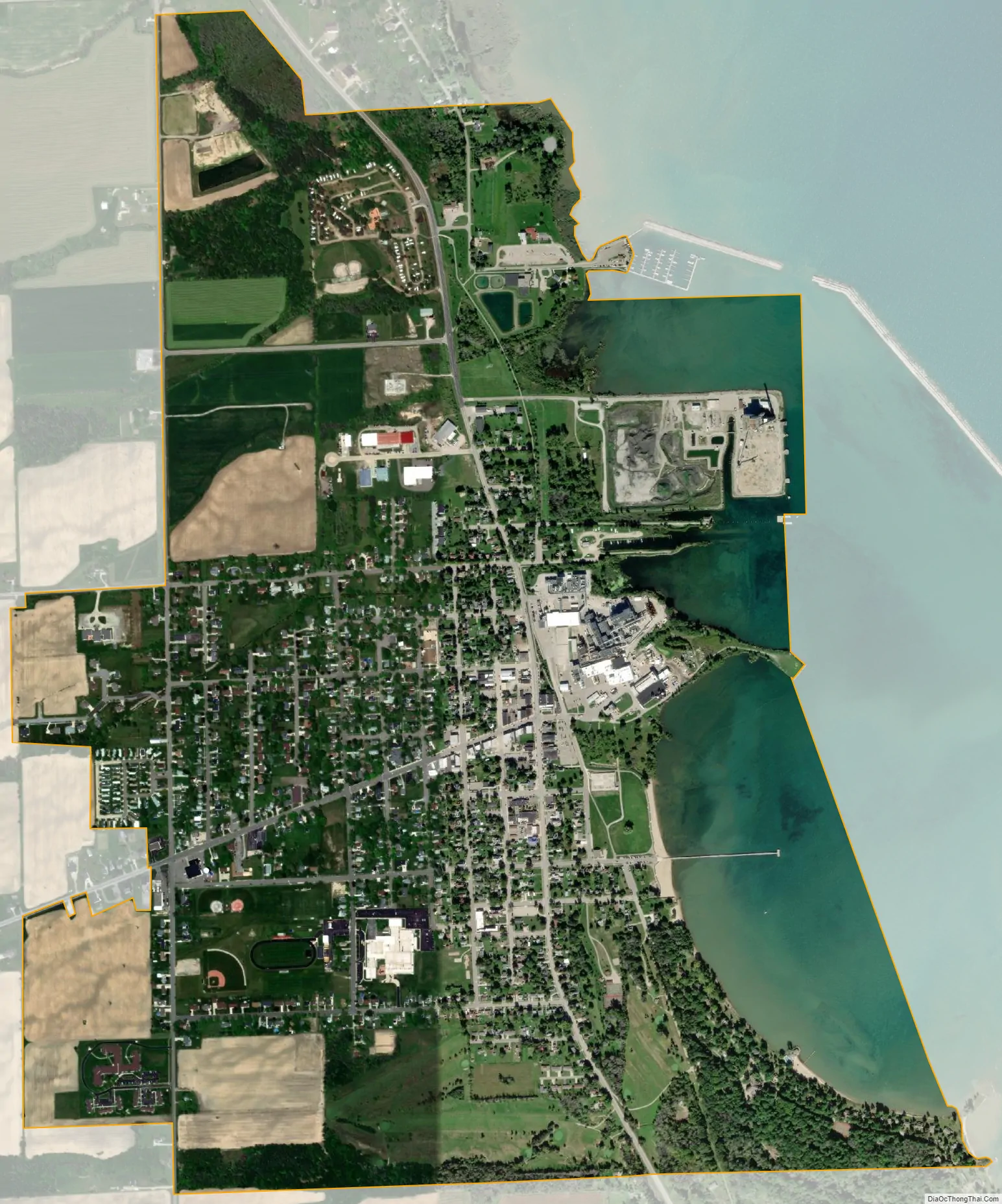
The earliest settlers to this area arrived in 1837 and established a sawmill for processing lumber. The settlement eventually was named Barnettsville in 1855, as the settlement continued to grow, the town was renamed Sand Beach. In 1899, the village of Sand Beach changed its name to Harbor Beach, because of the impression that the area has nothing but sand. In 1910, it was officially incorporated into a city.
Located on the eastern shore of Lake Huron in the Thumb of Michigan, Harbor Beach is known as having the world’s largest man-made fresh water harbor and boasts a fishing pier that is handicap accessible. The municipal marina provides transient services and shuttle services into the downtown area which has retained its old town charm.
The association known as HBRA was founded in 1896 as a summertime vacation spot in Harbor Beach. The resort is located roughly three hours north of Detroit, MI and is currently still operated, and frequented, by the 5th and 6th generation descendants of the original founding families.
Harbor Beach won the 2012 Division 8 State Football Championship.
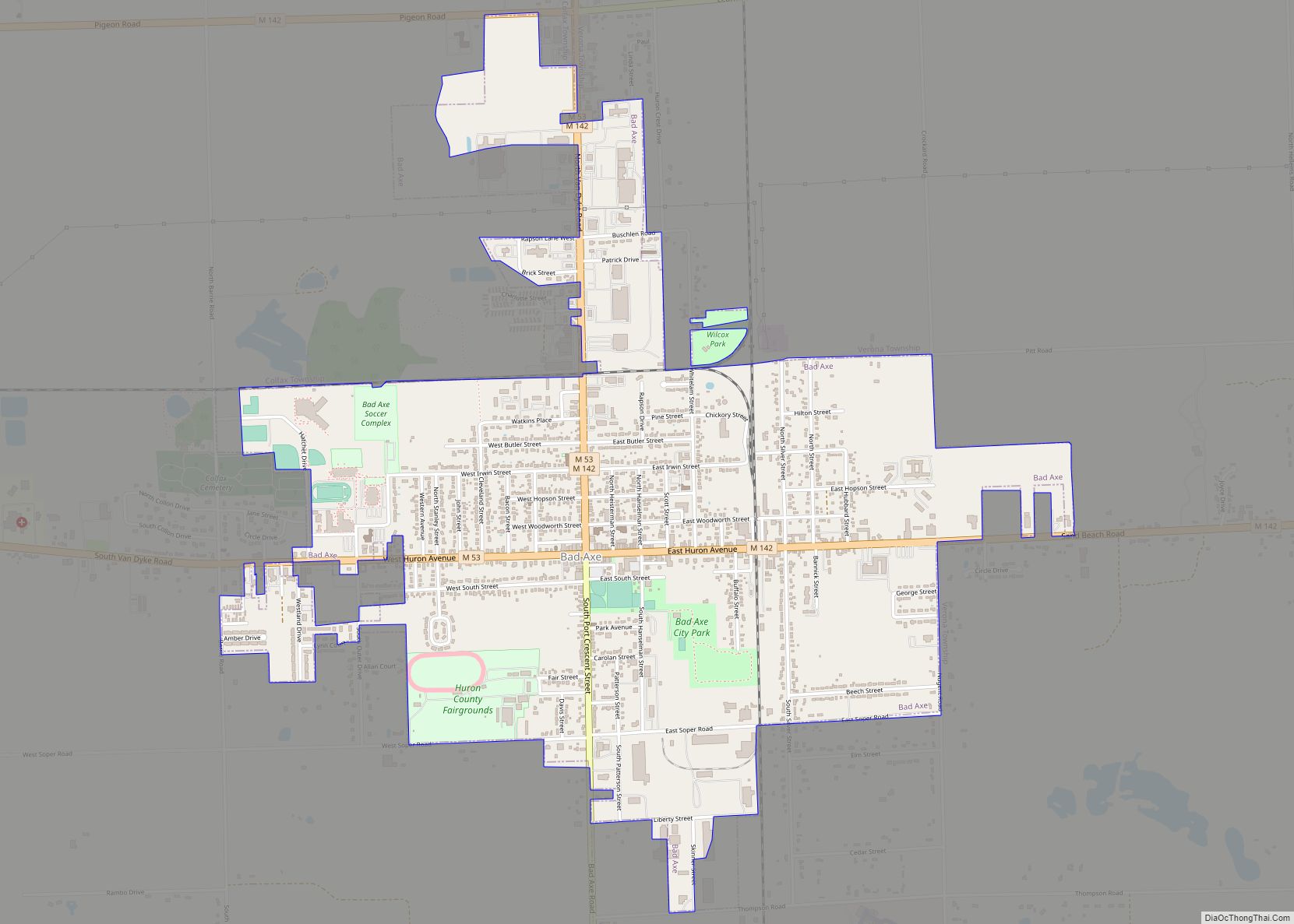
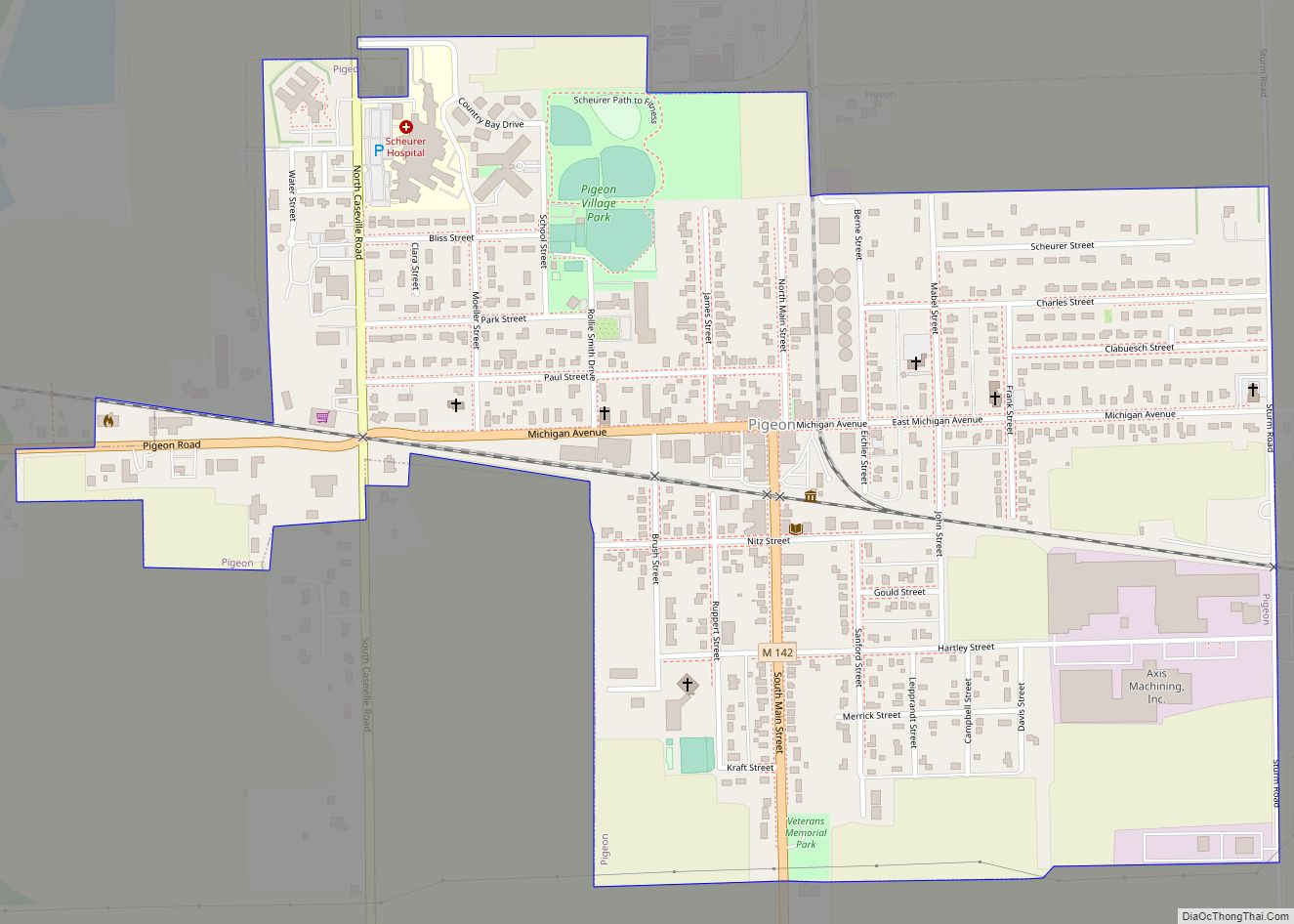
Harbor Beach Road Map
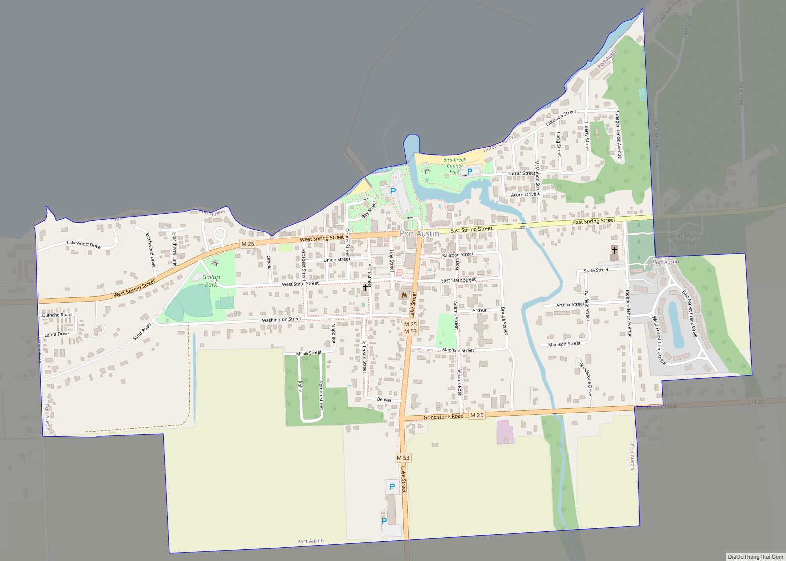
Harbor Beach city Satellite Map
Geography
- According to the United States Census Bureau, the city has a total area of 2.09 square miles (5.41 km), of which 1.75 square miles (4.53 km) is land and 0.34 square miles (0.88 km) is water.
- The world’s largest man-made fresh water harbor offers a harbor of refuge to ships traveling between Port Huron and Pointe Aux Barques.
- It is considered to be part of the Thumb of Michigan, which in turn is a subregion of the Flint/Tri-Cities region.
- The two main state highways are M-25 and M-142.
See also
Map of Michigan State and its subdivision:- Alcona
- Alger
- Allegan
- Alpena
- Antrim
- Arenac
- Baraga
- Barry
- Bay
- Benzie
- Berrien
- Branch
- Calhoun
- Cass
- Charlevoix
- Cheboygan
- Chippewa
- Clare
- Clinton
- Crawford
- Delta
- Dickinson
- Eaton
- Emmet
- Genesee
- Gladwin
- Gogebic
- Grand Traverse
- Gratiot
- Hillsdale
- Houghton
- Huron
- Ingham
- Ionia
- Iosco
- Iron
- Isabella
- Jackson
- Kalamazoo
- Kalkaska
- Kent
- Keweenaw
- Lake
- Lake Hurron
- Lake Michigan
- Lake St. Clair
- Lake Superior
- Lapeer
- Leelanau
- Lenawee
- Livingston
- Luce
- Mackinac
- Macomb
- Manistee
- Marquette
- Mason
- Mecosta
- Menominee
- Midland
- Missaukee
- Monroe
- Montcalm
- Montmorency
- Muskegon
- Newaygo
- Oakland
- Oceana
- Ogemaw
- Ontonagon
- Osceola
- Oscoda
- Otsego
- Ottawa
- Presque Isle
- Roscommon
- Saginaw
- Saint Clair
- Saint Joseph
- Sanilac
- Schoolcraft
- Shiawassee
- Tuscola
- Van Buren
- Washtenaw
- Wayne
- Wexford
- Alabama
- Alaska
- Arizona
- Arkansas
- California
- Colorado
- Connecticut
- Delaware
- District of Columbia
- Florida
- Georgia
- Hawaii
- Idaho
- Illinois
- Indiana
- Iowa
- Kansas
- Kentucky
- Louisiana
- Maine
- Maryland
- Massachusetts
- Michigan
- Minnesota
- Mississippi
- Missouri
- Montana
- Nebraska
- Nevada
- New Hampshire
- New Jersey
- New Mexico
- New York
- North Carolina
- North Dakota
- Ohio
- Oklahoma
- Oregon
- Pennsylvania
- Rhode Island
- South Carolina
- South Dakota
- Tennessee
- Texas
- Utah
- Vermont
- Virginia
- Washington
- West Virginia
- Wisconsin
- Wyoming