Saginaw (/ˈsæɡɪnɔː/) is a city in the U.S. state of Michigan and the seat of Saginaw County. The city of Saginaw and Saginaw County are both in the area known as Mid-Michigan. Saginaw is adjacent to Saginaw Charter Township and considered part of Greater Tri-Cities region of Central Michigan. The Saginaw County MSA had a population of 190,124 in 2020. The city is also the largest municipality in the Saginaw, Midland, and Bay City Metropolitan Area, with a combined population of 377,474 in the combined statistical area in 2020. The city proper had a population of 44,202 at the 2020 census.
Saginaw was a thriving lumber town in the 19th century and an important industrial city and manufacturing center throughout much of the 20th century. During the late 20th century, its industry and strong manufacturing presence declined, leading to increased unemployment, crime, and a population decline. Neighboring communities, such as Saginaw Charter Township, saw subsequent population increases while the city itself is projected to return to normal population growth after the decades-long structural changes to the economy.
Economic development is focused on comparative advantages in innovation, clean energy, and continued manufacturing exports. The city continues to have a higher proportion of manufacturing jobs than the US average.
| Name: | Saginaw city |
|---|---|
| LSAD Code: | 25 |
| LSAD Description: | city (suffix) |
| State: | Michigan |
| County: | Saginaw County |
| Incorporated: | 1857 |
| Elevation: | 591 ft (180 m) |
| Land Area: | 17.10 sq mi (44.28 km²) |
| Water Area: | 0.71 sq mi (1.84 km²) |
| Population Density: | 2,585.52/sq mi (998.29/km²) |
| Area code: | 989 |
| FIPS code: | 2670520 |
| GNISfeature ID: | 1627020 |
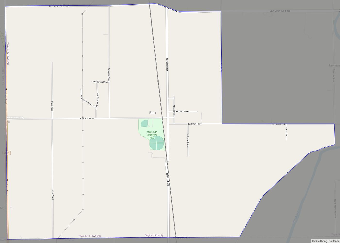
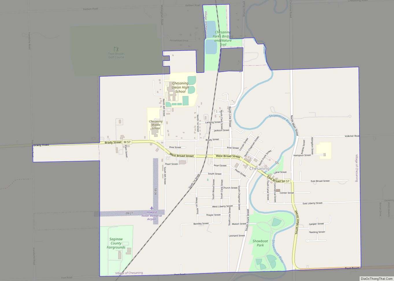
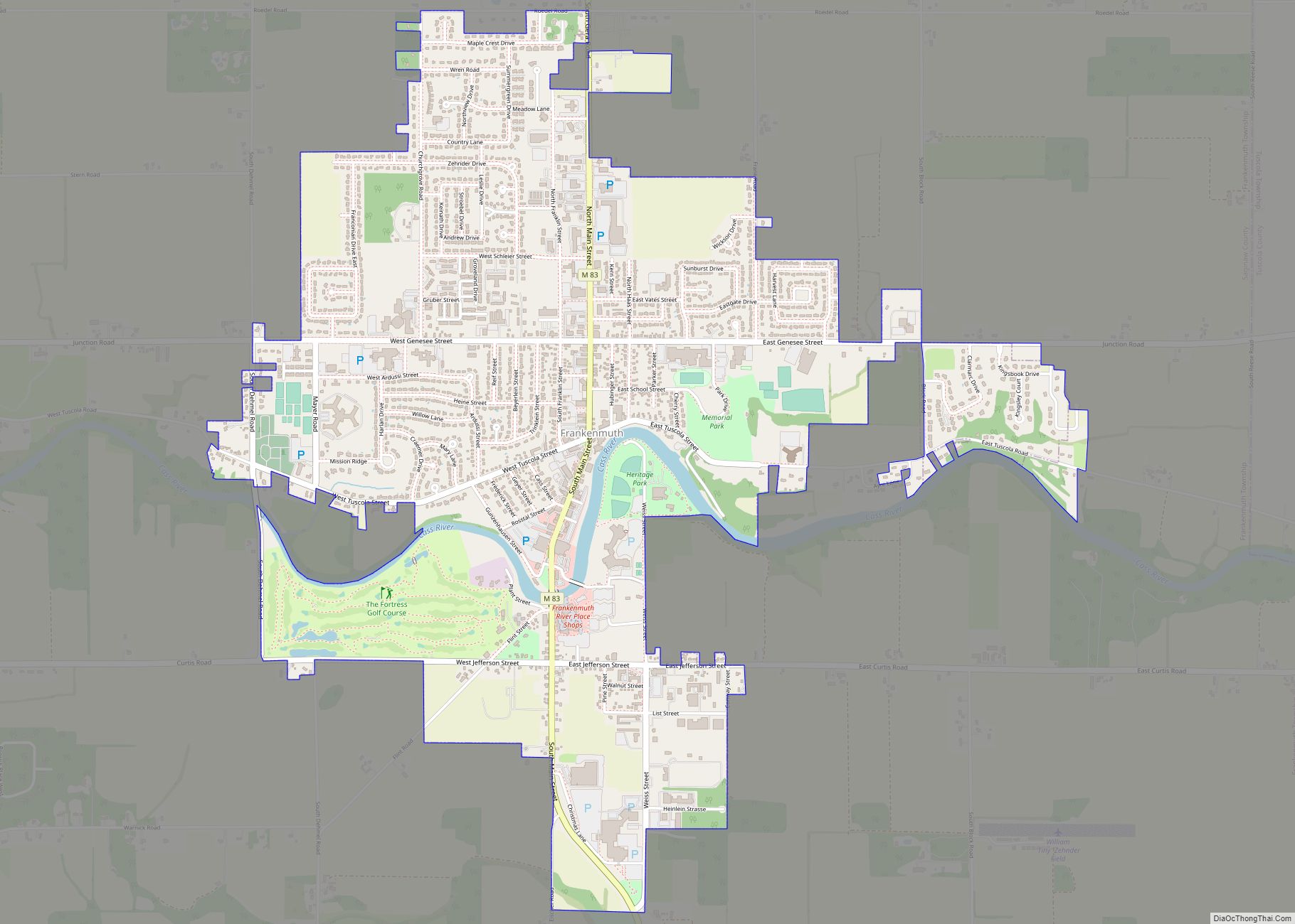
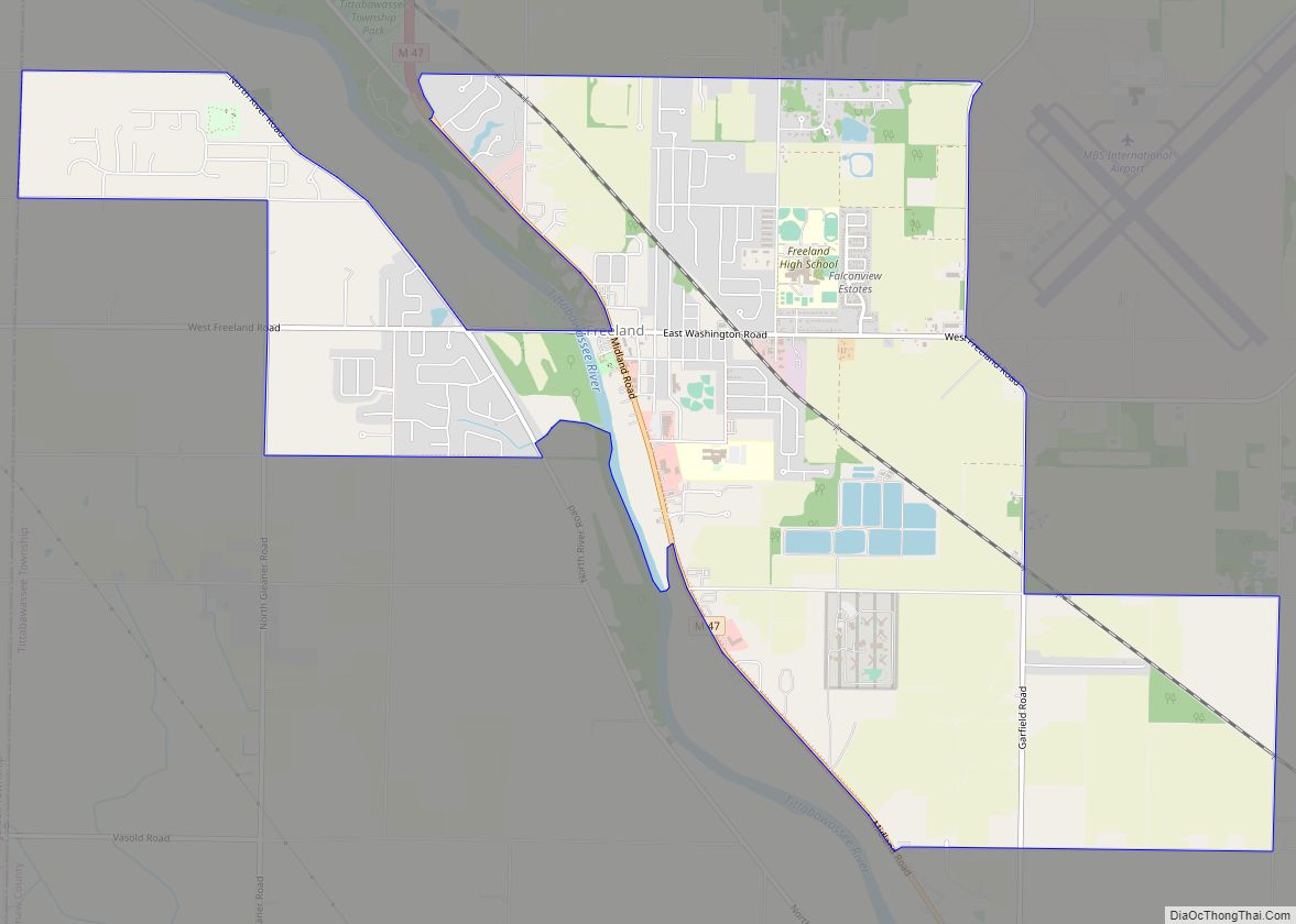
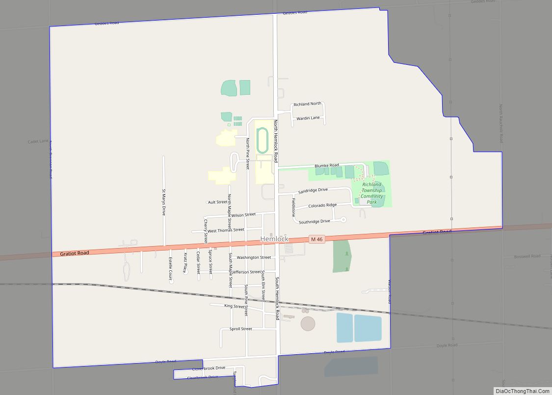
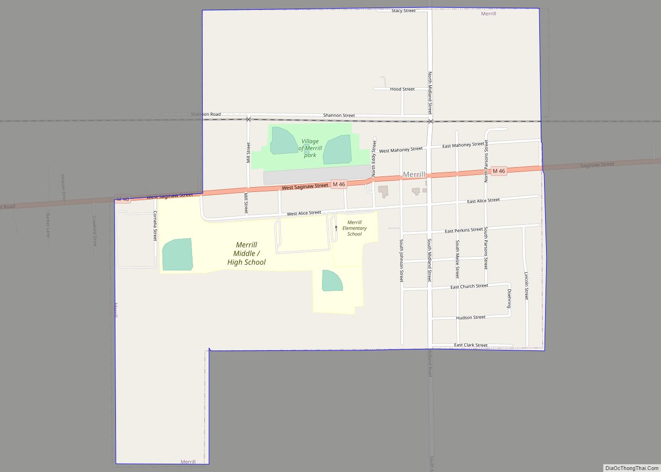
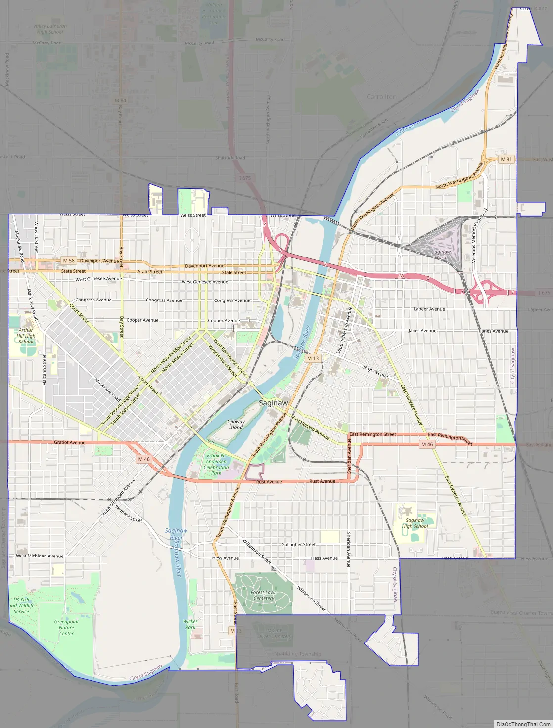
Online Interactive Map
Click on ![]() to view map in "full screen" mode.
to view map in "full screen" mode.
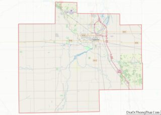
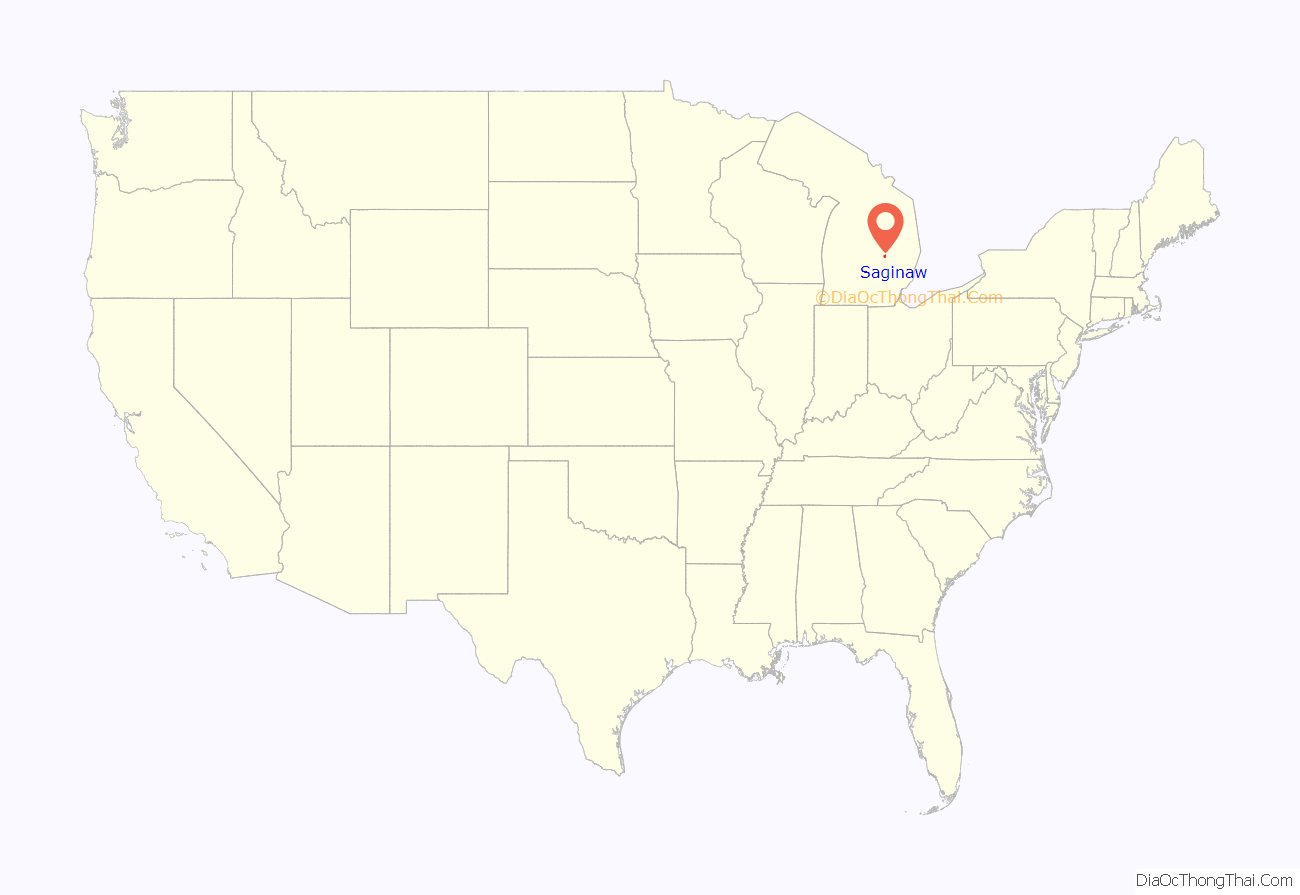
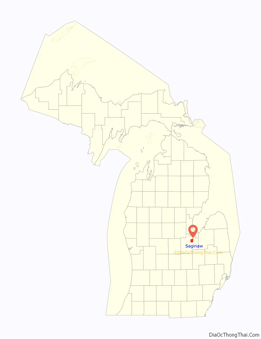
Saginaw location map. Where is Saginaw city?
History
19th century
The site of what later became the city of Saginaw was originally inhabited by the Anishnabeg. French missionaries and traders first appeared in the area during the late 17th century and encountered the Ojibwe (Chippewa) living in the area. The first permanent settlement by those other than Native Americans was in 1816 when Louis Campau established a trading post on the west bank of the Saginaw River. Shortly thereafter the United States established Fort Saginaw. Campau’s trading post was also inhabited by Metis.
During Michigan’s territorial period, a county and township government were organized at Saginaw. Growth of the settlement was fueled rapidly during the 19th century by the lumber industry. Saginaw was the site of numerous sawmills and served as a port for Great Lakes vessels. What is now the city of Saginaw resulted from the consolidation of the cities of East Saginaw and Saginaw City (West Side) in 1889.
In 1819, Lewis Cass, in the Treaty of Saginaw, negotiated the prerogative for the United States to own and settle the area with the leaders of the Ojibwe. In 1820, Campau attempted to expand across to the east bank of the river but was rejected by the Chippewas. In 1822, the United States Army established a fort on the west bank of the Saginaw River and named it Fort Saginaw. Two companies were stationed at the fort. A group of investors purchased some land near the fort and had it platted under the name, Town of Sagana. Due to the extremely harsh seasons and illnesses, Fort Saginaw was abandoned by 1824.
By the late 1820s, the American Fur Company was operating a post at Saginaw.
Few plots were sold and after the U.S. Army pulled out, the town languished for most of the following decade. The town was re-platted in December 1830, comprising riverfront from Cass Street, on the south, to Harrison Street, and north to Jefferson. These plots sold slowly. By 1835, only 24 plots had been sold and the remainder were transferred to a new owner, who made another plat in February 1837. However, the financial crisis of the Panic of 1837 dampened interest in purchasing properties. After selling only 58 of the 407 plots, the remainder was sold again in 1841.
Saginaw was the location of the annual government payment to the Ojibwe and Ottawa of the area, starting in the 1830s. This also attracted many French-Canadian and Euro-American merchants, primarily involved in selling watered down whiskey.
The main cause for the founding and subsequent development of Saginaw was the large demand for lumber as the United States expanded westward. A virgin growth forest principally consisting of white pine trees covered most of Michigan. The convenient access to transportation provided by the Saginaw River and its numerous tributaries fueled a massive expansion in population and economic activity. As the trees were being cut down in the region, logs were floated down the rivers to sawmills located in Saginaw, destined to be loaded onto ships and later railroad cars.
Multiple settlements comprise present-day Saginaw. On the west side of the river the first settlement around what had been Fort Saginaw developed into Saginaw, which was incorporated as a city in 1857, containing the seat of the Saginaw County government. On the east side of the river a parallel settlement, East Saginaw, developed which was incorporated first as a village in 1855, and then as a city in 1859. Also south of East Saginaw, on the east bank of the river, the village of Salina formed. Salina’s name relates to the brine that led to a growing industry of salt production in the area. Both Saginaw and East Saginaw quickly became a hub for railroad transportation in addition to ships on the Saginaw River. Lumber production peaked by the early 1870s, but had virtually disappeared by the end of the 19th century. In addition to salt production, which experienced an eventual decline as well, growing industries, such as those supporting the area’s agriculture and manufacturing, developed.
On June 28, 1889, the Michigan state legislature passed Act 455 to consolidate the cities of Saginaw and East Saginaw into a single city. Prior to this consolidation, the nearby village of Salina had already become part of East Saginaw. The consolidation of Saginaw became effective with the election of officers on March 12, 1890.
The provisions of the city charter were established by the same act of the legislature that provided for the consolidation. Saginaw was to be governed by a city council consisting of two aldermen elected from 21 wards and a mainly ceremonial executive mayor who was to have fairly weak powers. This was to be, as numerous other elected officials, along with elected or appointed boards, controlled much of the administrative and executive functions of government. The efficient and cohesive functioning of the Saginaw city government also was constrained by remaining rivalries between residents, business owners, and politicians from the former two cities. The distinctions and rivalries between Saginaw’s east side and west side persisted into the 20th century in various forms, and continues to influence Saginaw’s social, political, economic landscape, even into the 2010s.
20th century
In the early 20th century, automobile production proliferated throughout Michigan, but most notably in Detroit. Other Michigan cities became suppliers to Detroit factories, sometimes with factories of their own. In Saginaw, the Jackson-Church-Wilcox Company began as a partnership in 1906 for producing steering gear under the “Jacox” brand. Jackson-Church-Wilcox was acquired by Buick in 1909, and as part of General Motors became the Jackson, Church and Wilcox Division, the first GM division devoted to parts production. In 1919 the Jacox division was merged with Saginaw Malleable Iron and Central Foundry into GM’s Saginaw Products Company. This formed the basis for the Saginaw Steering Gear Division, created in 1928. General Motors and other manufacturers established foundries and other automobile-related manufacturing facilities in Saginaw, for the production of chemicals and plate glass, as well as metal fabrication. This early development of a symbiotic relationship with the auto industry set the course for the future of the city.
In 1908, a new Michigan state constitution was adopted. The new Michigan state constitution mandated increased home rule powers for local units of government, and the Michigan state legislature enacted the Home Rule Cities Act in 1909. Under this statute, cities were permitted to frame and adopt their own city charters and were given great flexibility in structuring their local governments. The government, under the 1889 charter, had continued to be inefficient and provided for much political infighting. In 1913, a new city charter was adopted with voter approval and which followed a commission form of city government that had gained in popular interest among various cities across the United States in the early 20th century. The new government consisted of five commissioners, each elected separately at-large, who served both as the city council and as the executive heads of various city government departments. One of the commissioners served as the mayor, which was a mostly ceremonial role.
The 1913 city charter was followed for little more than two decades when the voters of the city again adopted another new city charter in 1935 following the council-manager form of government. The government under the 1913 city charter retained some of the independent boards that were given authority independent of the elected city commissioners. This caused some inefficiency and political friction. The economic consequences of the Great Depression during the 1930s provided the final catalyst for municipal government reform.
In contrast to the previous government structures, the 1935 charter, having taken effect in 1936, provided for all administration of city government to be headed directly by a single officer, the city manager, who was appointed by, and accountable to a city council of nine members elected as a group by the entire city at-large. The system was designed to address two principal issues with Saginaw’s history of municipal government, the inefficiency and politics associated with having executive and administrative authority spread among many different officers and boards, and political rivalries and friction between various geographic areas of the city, mainly the east side and the west side.
During much of the 20th century, Saginaw’s economy was dominated by manufacturing related to the automotive industry; most notably, manual transmission assemblies, steering gear boxes and power steering pumps. At the height of manufacturing in the 1960s and 1970s, the city and neighboring Buena Vista Township hosted 12 General Motors plants, an Eaton Manufacturing plant (demolished 2008) where 5,000 people produced auto parts, and numerous smaller concerns.
The General Motors plants in the county were:
- The original Jackson-Wilcox factory on Saginaw’s North Hamilton (ca. 1906), later Saginaw Steering Gear Plant 1, closed 1984, sold by GM in 1987 to Thomson Industries, still operating as of 2009.
- Chevrolet Saginaw Parts at Sixth and Washington on Saginaw’s East Side, built in 1906 as the assembly plant of the Rainier Motor Car Company, acquired by GM in 1907. Closed 1983, demolished 1984.
- Saginaw Malleable Iron on the Southwest Side (1917). Contracted to build gear housings for GM’s Jacox division (the former Jackson Wilcox company, later Saginaw Steering Gear), sold to GM in 1919, later part of Saginaw Products Division, reorganized into a new Central Foundry Division in 1946. Closed May 2007, razed in 2010 and for sale as of May 2013 by the RACER Trust, charged with disposing of abandoned GM properties.
- Chevrolet Grey Iron, on the North Side of Saginaw, opened as Central Foundry in 1918, operated by Chevrolet Division 1927–1983, thereafter by GM Powertrain Division. Operating today as Saginaw Metal Casting Operations, the only GM manufacturing division still operating in Saginaw County.
- Chevrolet Saginaw Transmission on East Genesee in Saginaw, built 1919–20 for the Michigan Crankshaft Company, acquired by GM in 1921 and placed under Saginaw Products. Transferred to Chevrolet upon the dissolution of the Crankshaft Division (ca. 1927). Home of the Saginaw 3-speed and 4-speed manual transmissions. Transferred to the Delco Moraine Division in 1984, which became Delphi Automotive in 1995. After 2007, leased and later purchased outright by TRW Automotive, operating as TRW Braking and Suspension until closing in February 2014.
- Saginaw Steering Gear Plant 2, the “Gun Plant” (see below) adjacent to Malleable Iron; opened March 1941, closed July 2001, razed 2002. For sale by RACER Trust as of May 2013.
- The 400-acre Saginaw Steering Gear complex in Buena Vista Township. Plant 3 opened 1953 next to the then-new US-23 bypass, adding Plants 4, 5 and 6 by 1966 and a seventh shortly thereafter. Later known as Saginaw Division, then part of Delphi, sold in 2010 to Nexteer Corporation, is supplying GM, Ford and Chrysler as of 2013.
- Chevrolet Nodular Iron in Buena Vista Township, built 1964–1965, entered production 1967, announced for closure 1986, closed 1988; since demolished. Property for sale by RACER Trust as of May 2013.
Before the United States entered World War II, Saginaw’s industrial complex became directed towards military production. Turning its efforts to the production of munitions, ordnance and components for military vehicles made Saginaw a significant contributor to the Allies’ victory. Saginaw was home to a production facility that produced .30 caliber machine guns more quickly and at lower cost than the Army thought possible, armor-piercing shells for anti-tank use, and more than half a million M1 carbine rifles for the US military during World War II, the “Gun Plant” that later became Steering Gear Plant 2. Saginaw Steering Gear’s Plant 1 also began wartime production in 1941, concentrating on ball screws that would eventually be used in the wing flaps of the Boeing B-29 Superfortress. Malleable Iron converted its production of Armasteel from engine components to gun parts and tank treads, while Grey Iron specialized in the production of magnesium for use in Pratt & Whitney aeroplane engines.
Migration from across the country, particularly from the Southern United States, drastically increased Saginaw’s population during the war years and through the 1950s. This population growth included the expanded presence of African Americans and Latinos in Saginaw. Even before the end of the war, the needs of Saginaw’s growth became clear, and were met by significant investment in the city’s infrastructure. In 1947, Saginaw and the nearby city of Midland constructed a 65-mile-long (105 km) water supply pipeline drawing water from Whitestone Point in Lake Huron to meet the anticipated needs of the communities. In addition, the cities of Midland and Bay City joined with Saginaw to develop and operate an airport on the site of a former POW camp in nearby Tittabawassee Township, which eventually became MBS International Airport.
In the years following World War II, the Michigan state legislature enacted laws making it increasingly difficult for incorporated cities to expand by annexing territory from neighboring townships. Townships, which had historically served an agrarian, smaller population than that of larger cities, were given the ability to provide nearly all the same services an incorporated city could. Although Midland pursued (and continues to pursue) a policy of “No annexation, no water,” Saginaw chose to sell water to neighboring communities under long-term contracts. This allowed the townships to further develop at the expense of the city, the limits of which changed little after consolidation in 1989–90. The unintended consequence of this choice was that Saginaw’s population stopped growing, new housing development focused on the suburban townships, and businesses eventually followed.
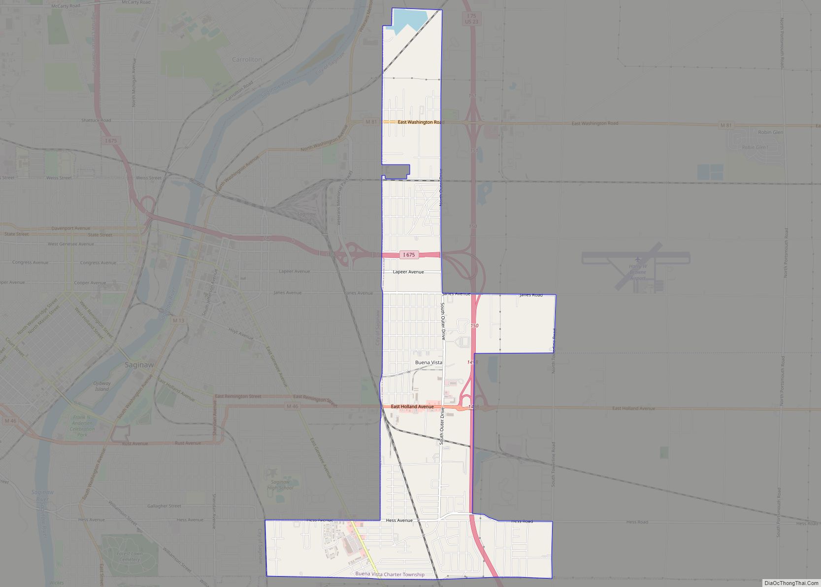
Saginaw Road Map
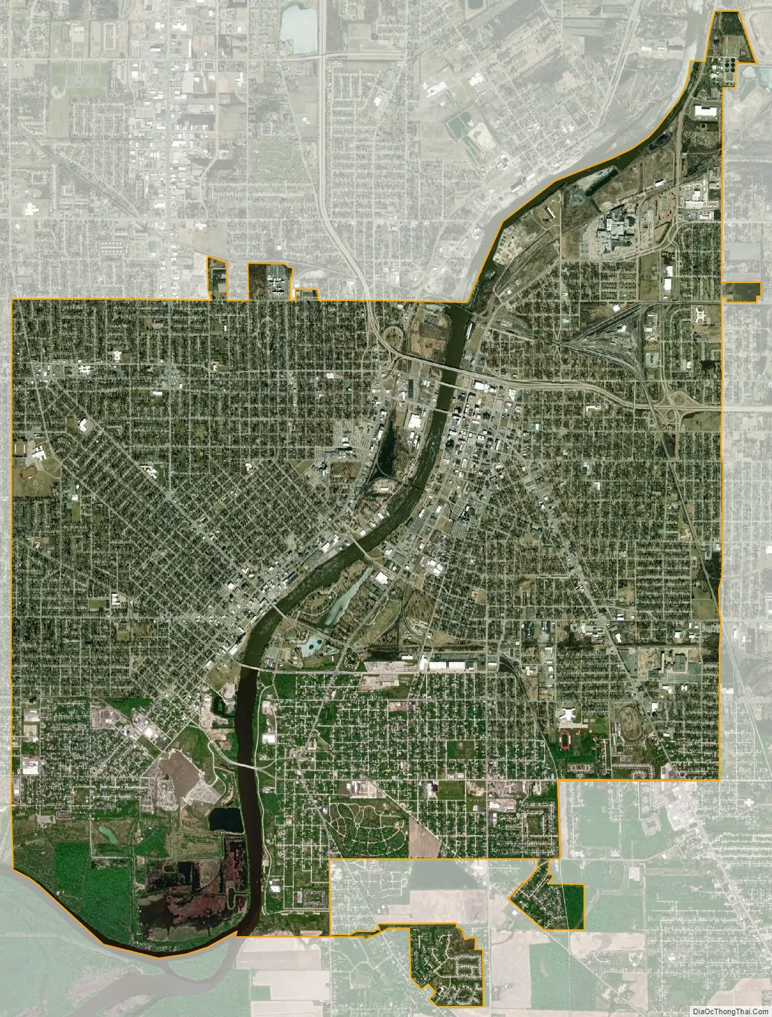
Saginaw city Satellite Map
Geography
Topography
According to the U.S. Census Bureau, the city has a total area of 18.10 square miles (46.88 km), of which, 17.34 square miles (44.91 km) is land and 0.76 square miles (1.97 km) is water. Saginaw lies on the Saginaw River, 15 miles (24 km) inland from the Saginaw Bay, an arm of Lake Huron. The city sits in the middle of the Saginaw Bay watershed, the largest in the state of Michigan. It includes the largest contiguous fresh-water coastal wetland in the United States.
Climate
Saginaw has a humid continental climate influenced by its inland position not on the shore of one of the Great Lakes of Michigan.
See also
Map of Michigan State and its subdivision:- Alcona
- Alger
- Allegan
- Alpena
- Antrim
- Arenac
- Baraga
- Barry
- Bay
- Benzie
- Berrien
- Branch
- Calhoun
- Cass
- Charlevoix
- Cheboygan
- Chippewa
- Clare
- Clinton
- Crawford
- Delta
- Dickinson
- Eaton
- Emmet
- Genesee
- Gladwin
- Gogebic
- Grand Traverse
- Gratiot
- Hillsdale
- Houghton
- Huron
- Ingham
- Ionia
- Iosco
- Iron
- Isabella
- Jackson
- Kalamazoo
- Kalkaska
- Kent
- Keweenaw
- Lake
- Lake Hurron
- Lake Michigan
- Lake St. Clair
- Lake Superior
- Lapeer
- Leelanau
- Lenawee
- Livingston
- Luce
- Mackinac
- Macomb
- Manistee
- Marquette
- Mason
- Mecosta
- Menominee
- Midland
- Missaukee
- Monroe
- Montcalm
- Montmorency
- Muskegon
- Newaygo
- Oakland
- Oceana
- Ogemaw
- Ontonagon
- Osceola
- Oscoda
- Otsego
- Ottawa
- Presque Isle
- Roscommon
- Saginaw
- Saint Clair
- Saint Joseph
- Sanilac
- Schoolcraft
- Shiawassee
- Tuscola
- Van Buren
- Washtenaw
- Wayne
- Wexford
- Alabama
- Alaska
- Arizona
- Arkansas
- California
- Colorado
- Connecticut
- Delaware
- District of Columbia
- Florida
- Georgia
- Hawaii
- Idaho
- Illinois
- Indiana
- Iowa
- Kansas
- Kentucky
- Louisiana
- Maine
- Maryland
- Massachusetts
- Michigan
- Minnesota
- Mississippi
- Missouri
- Montana
- Nebraska
- Nevada
- New Hampshire
- New Jersey
- New Mexico
- New York
- North Carolina
- North Dakota
- Ohio
- Oklahoma
- Oregon
- Pennsylvania
- Rhode Island
- South Carolina
- South Dakota
- Tennessee
- Texas
- Utah
- Vermont
- Virginia
- Washington
- West Virginia
- Wisconsin
- Wyoming