Sebewaing is a village in Huron County in the U.S. state of Michigan. The population was 1,721 at the 2020 census. The village is within Sebewaing Township. This community is known as the Sugar Beet Capital, due to the Michigan Sugar slicing mill located within the village and the yearly Michigan Sugar Festival. The Sebewaing area, the Thumb, and the state of Michigan overall are major beet sugar producers, mostly for domestic consumption. Sebewaing is also the first gigabit village in the state of Michigan. In 2014–15, Sebewaing completed its fiber to the home network, offering up to gigabit/second speeds over their fiber optic network.
| Name: | Sebewaing village |
|---|---|
| LSAD Code: | 47 |
| LSAD Description: | village (suffix) |
| State: | Michigan |
| County: | Huron County |
| Founded: | 1845 |
| Incorporated: | 1879 (village) |
| Elevation: | 584 ft (178 m) |
| Total Area: | 1.72 sq mi (4.44 km²) |
| Land Area: | 1.59 sq mi (4.12 km²) |
| Water Area: | 0.13 sq mi (0.32 km²) |
| Total Population: | 1,721 |
| Population Density: | 1,082.39/sq mi (418.00/km²) |
| Area code: | 989 |
| FIPS code: | 2672180 |
| GNISfeature ID: | 0637513 |
Online Interactive Map
Click on ![]() to view map in "full screen" mode.
to view map in "full screen" mode.
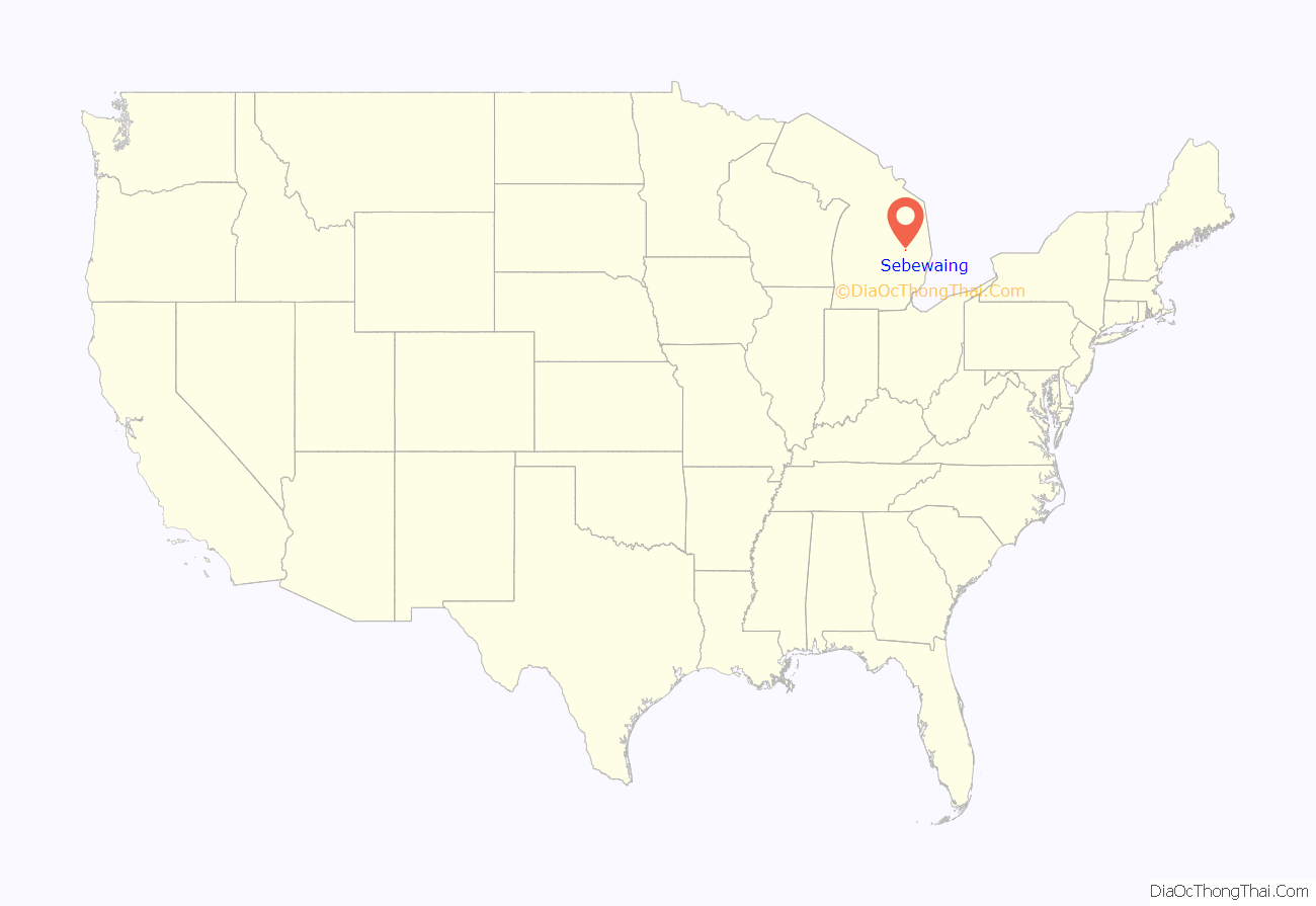
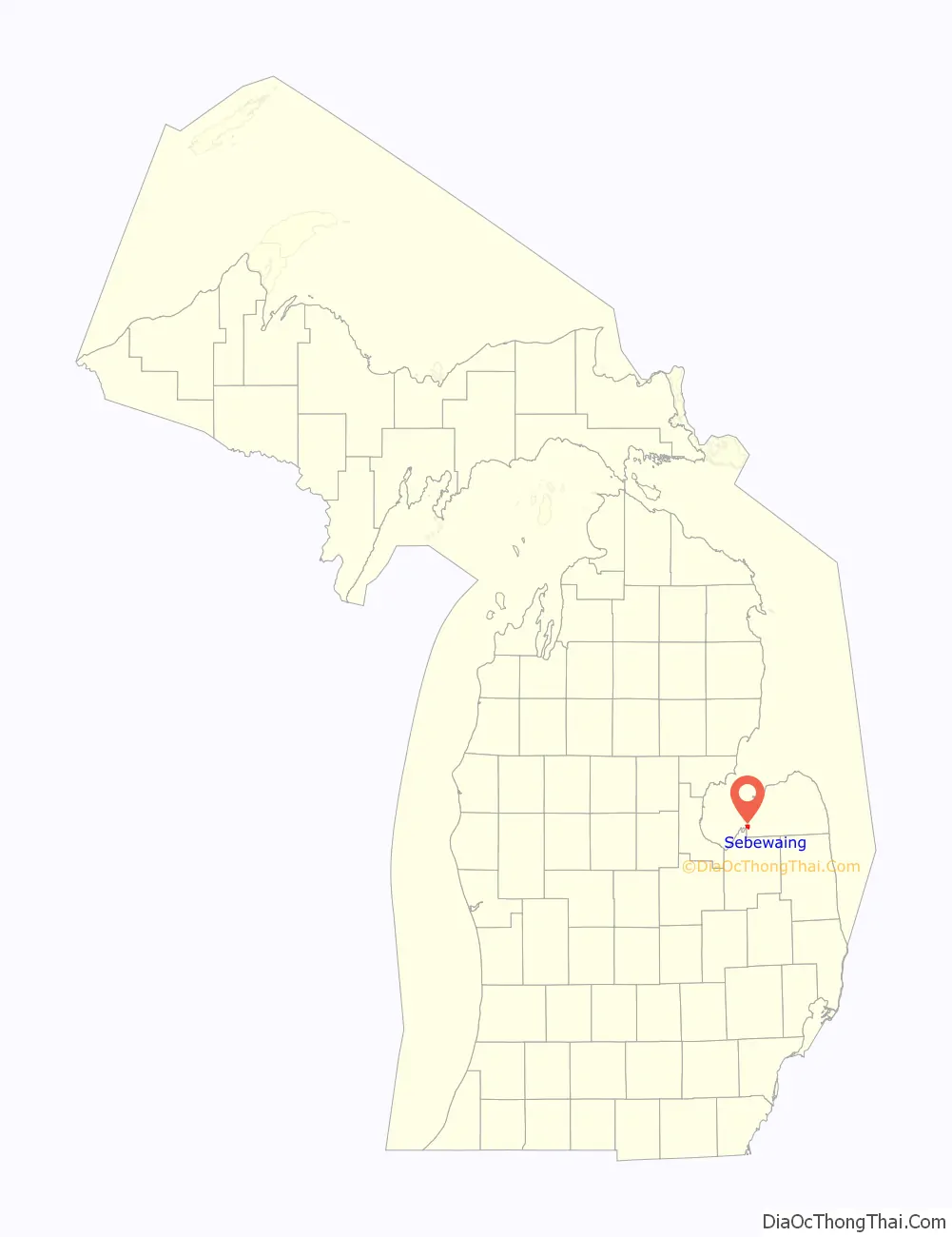
Sebewaing location map. Where is Sebewaing village?
History
Sebewaing’s name was derived from the Algonquian language of Native Americans, the original inhabitants of the area. The village was founded in 1845 by Rev. John J.F. Auch, a Lutheran minister sent by the church to do missionary work in the Native American communities.
Beginning in the mid-19th century, the town was settled by many migrants of German ancestry. In 1880 the E.O. Braendle Brewery began operations. The brewing operation was forced to close during Prohibition, but in 1927 it was renamed, and the Sebewaing Brewing Company brewed many types of German-style beer in the town until 1965. The defunct Michigan Brewing company in Webberville, Michigan resurrected some of the brands, using authentic formulae and labels.
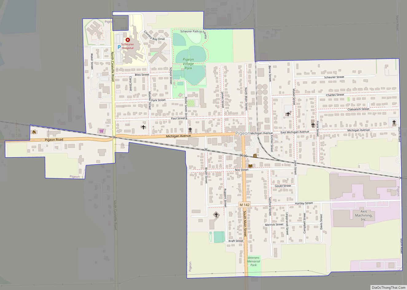
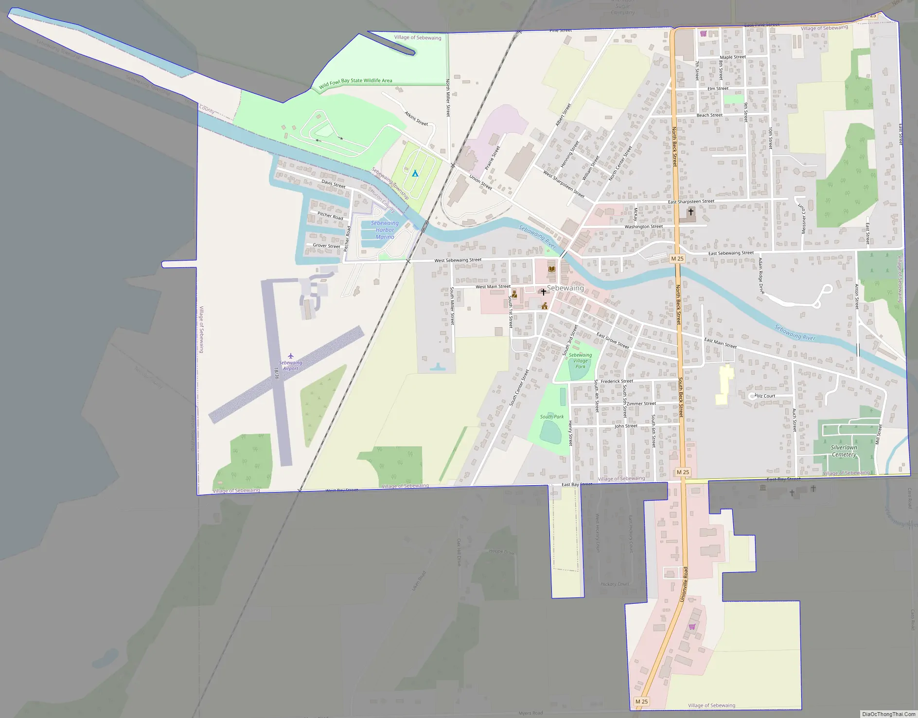
Sebewaing Road Map
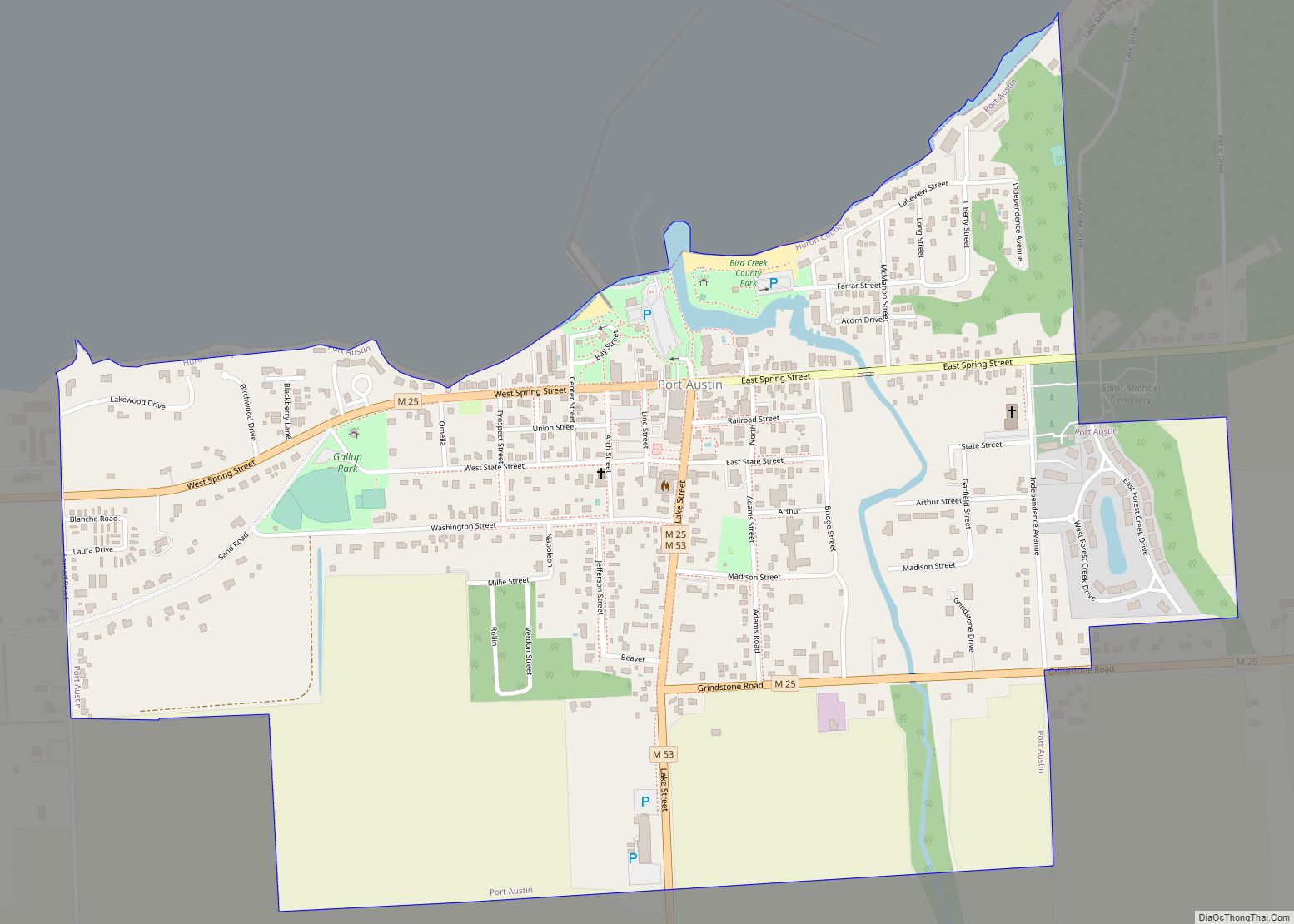
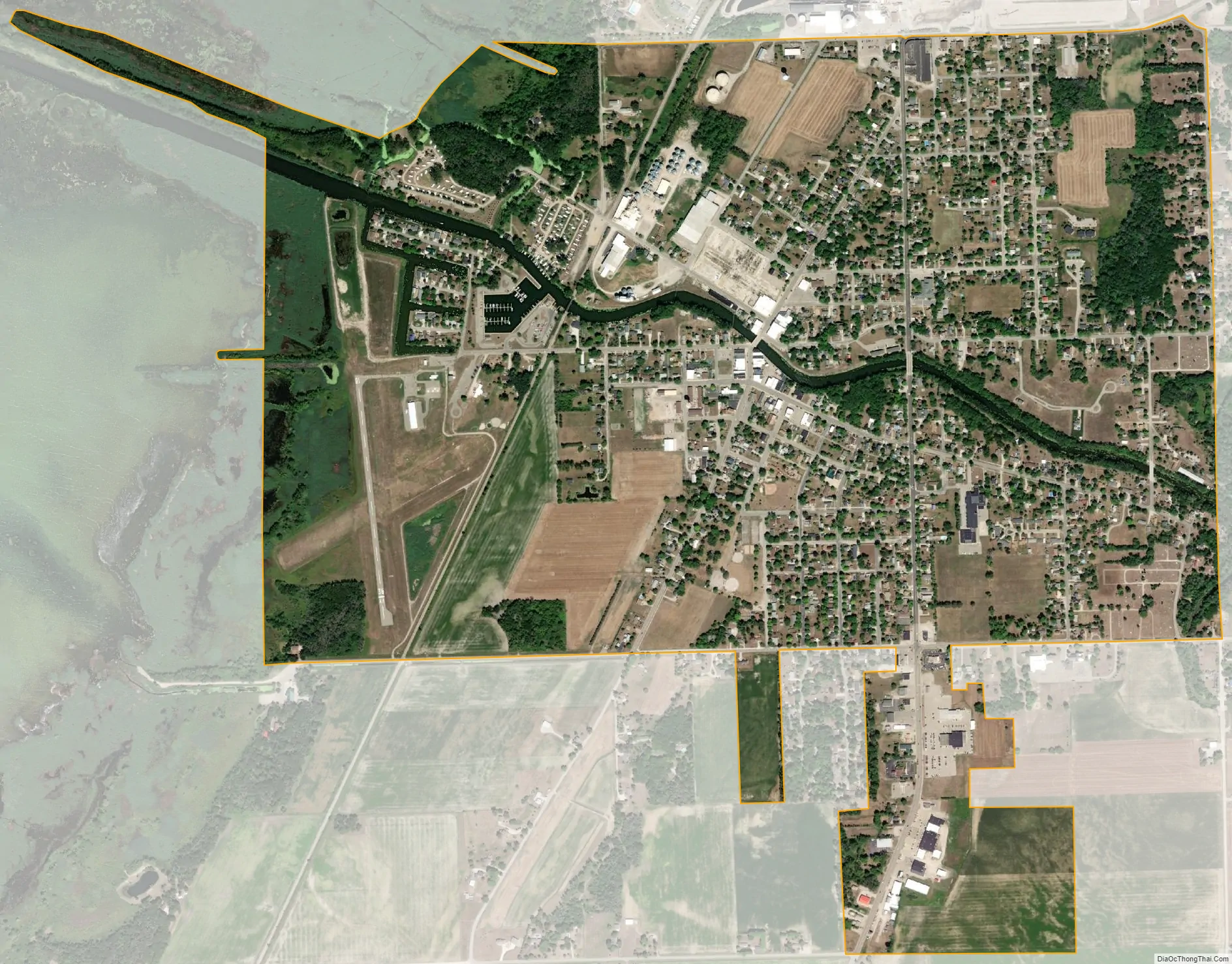
Sebewaing city Satellite Map
Geography
- According to the United States Census Bureau, the village has a total area of 1.71 square miles (4.43 km), of which 1.58 square miles (4.09 km) is land and 0.13 square miles (0.34 km) is water. Its name derives from the Ojibwe word ziibiiweng meaning “place by the river.”
- It is considered to be part of the Thumb of Michigan, which in turn is a subregion of the Flint/Tri-Cities.
See also
Map of Michigan State and its subdivision:- Alcona
- Alger
- Allegan
- Alpena
- Antrim
- Arenac
- Baraga
- Barry
- Bay
- Benzie
- Berrien
- Branch
- Calhoun
- Cass
- Charlevoix
- Cheboygan
- Chippewa
- Clare
- Clinton
- Crawford
- Delta
- Dickinson
- Eaton
- Emmet
- Genesee
- Gladwin
- Gogebic
- Grand Traverse
- Gratiot
- Hillsdale
- Houghton
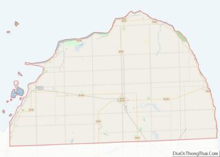
- Huron
- Ingham
- Ionia
- Iosco
- Iron
- Isabella
- Jackson
- Kalamazoo
- Kalkaska
- Kent
- Keweenaw
- Lake
- Lake Hurron
- Lake Michigan
- Lake St. Clair
- Lake Superior
- Lapeer
- Leelanau
- Lenawee
- Livingston
- Luce
- Mackinac
- Macomb
- Manistee
- Marquette
- Mason
- Mecosta
- Menominee
- Midland
- Missaukee
- Monroe
- Montcalm
- Montmorency
- Muskegon
- Newaygo
- Oakland
- Oceana
- Ogemaw
- Ontonagon
- Osceola
- Oscoda
- Otsego
- Ottawa
- Presque Isle
- Roscommon
- Saginaw
- Saint Clair
- Saint Joseph
- Sanilac
- Schoolcraft
- Shiawassee
- Tuscola
- Van Buren
- Washtenaw
- Wayne
- Wexford
- Alabama
- Alaska
- Arizona
- Arkansas
- California
- Colorado
- Connecticut
- Delaware
- District of Columbia
- Florida
- Georgia
- Hawaii
- Idaho
- Illinois
- Indiana
- Iowa
- Kansas
- Kentucky
- Louisiana
- Maine
- Maryland
- Massachusetts
- Michigan
- Minnesota
- Mississippi
- Missouri
- Montana
- Nebraska
- Nevada
- New Hampshire
- New Jersey
- New Mexico
- New York
- North Carolina
- North Dakota
- Ohio
- Oklahoma
- Oregon
- Pennsylvania
- Rhode Island
- South Carolina
- South Dakota
- Tennessee
- Texas
- Utah
- Vermont
- Virginia
- Washington
- West Virginia
- Wisconsin
- Wyoming