Galesburg is a city in Kalamazoo County in the U.S. state of Michigan. The population was 2,009 at the 2010 census.
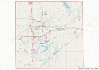
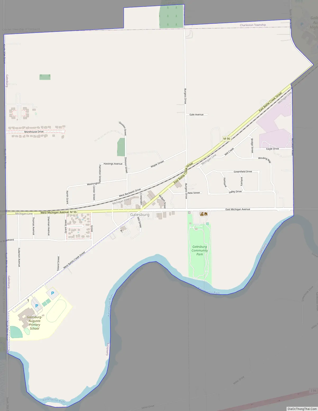
Galesburg is located along the north side of the Kalamazoo River. The city is situated on M-96 and is just north of I-94 (with exits due south of the city’s west side and about one mile (1.6 km) to the east). Kalamazoo is about ten miles (16 km) to the west and Battle Creek is about ten miles (16 km) to the east.
For statistical purposes, the Census Bureau has defined Greater Galesburg as a census-designated place consisting of the urbanized area outside the city’s municipal boundaries.
| Name: | Galesburg city |
|---|---|
| LSAD Code: | 25 |
| LSAD Description: | city (suffix) |
| State: | Michigan |
| County: | Kalamazoo County |
| Elevation: | 791 ft (241 m) |
| Total Area: | 1.46 sq mi (3.78 km²) |
| Land Area: | 1.42 sq mi (3.67 km²) |
| Water Area: | 0.04 sq mi (0.11 km²) |
| Total Population: | 2,049 |
| Population Density: | 1,446.01/sq mi (558.21/km²) |
| ZIP code: | 49053 |
| Area code: | 269 |
| FIPS code: | 2631260 |
| GNISfeature ID: | 0626603 |
| Website: | www.galesburgcity.org |
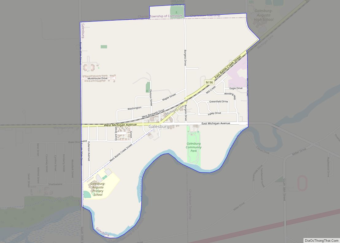
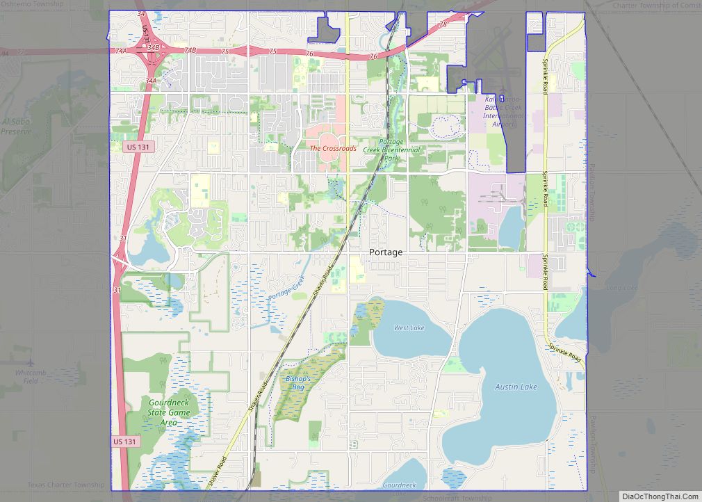
Online Interactive Map
Click on ![]() to view map in "full screen" mode.
to view map in "full screen" mode.
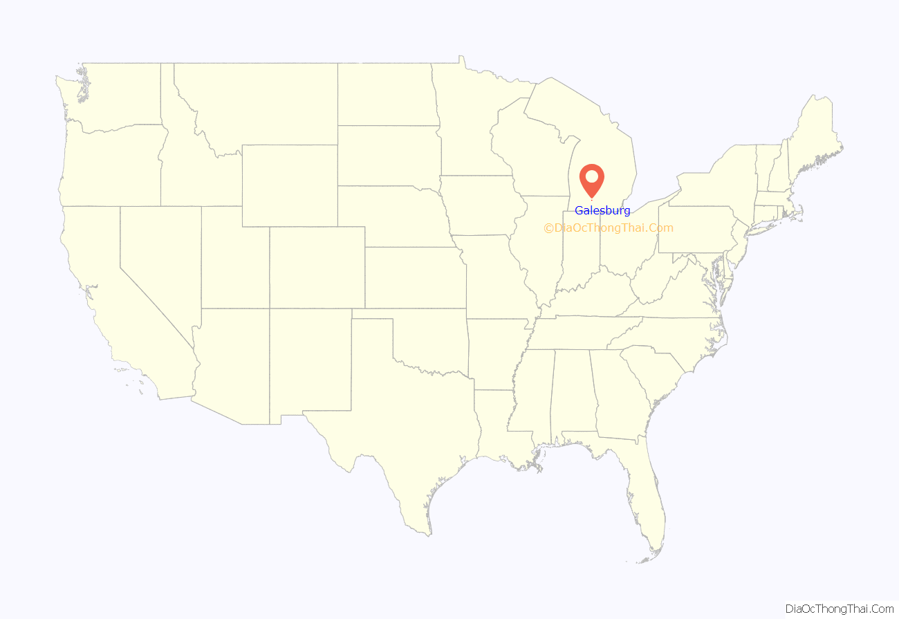
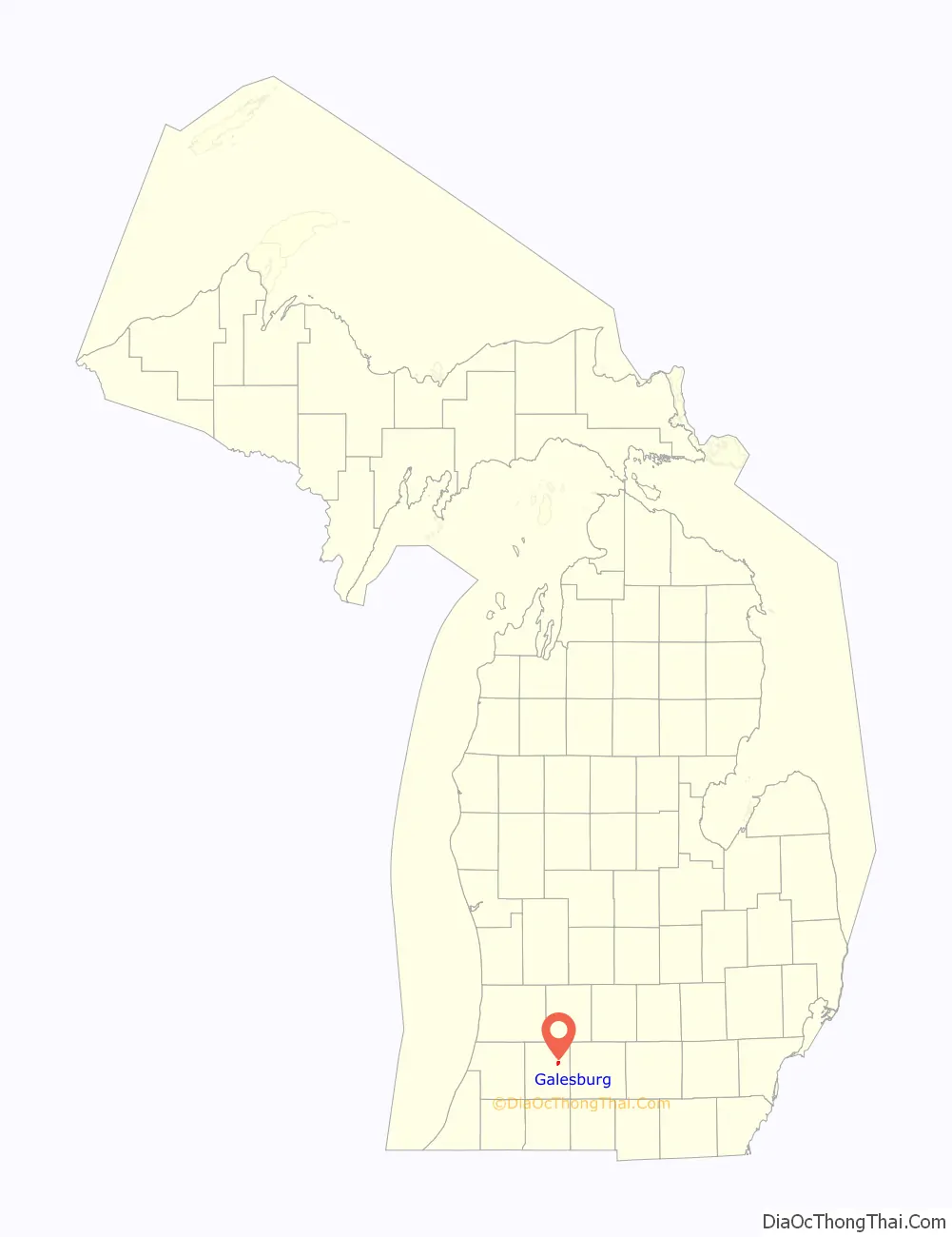
Galesburg location map. Where is Galesburg city?
History
Galesburg was established in 1835 originally with the name Morton. It was platted in 1837 when it was given its current name and incorporated as a village in 1861 and as a city in 1931. Galesburg is named for George L. Gale, an early settler.
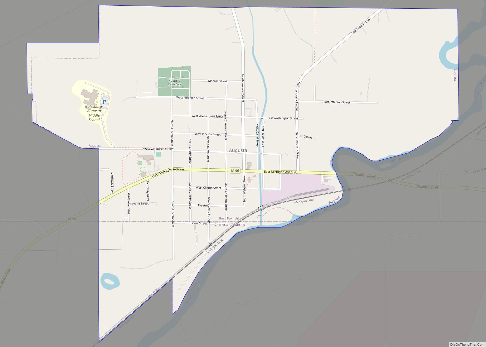
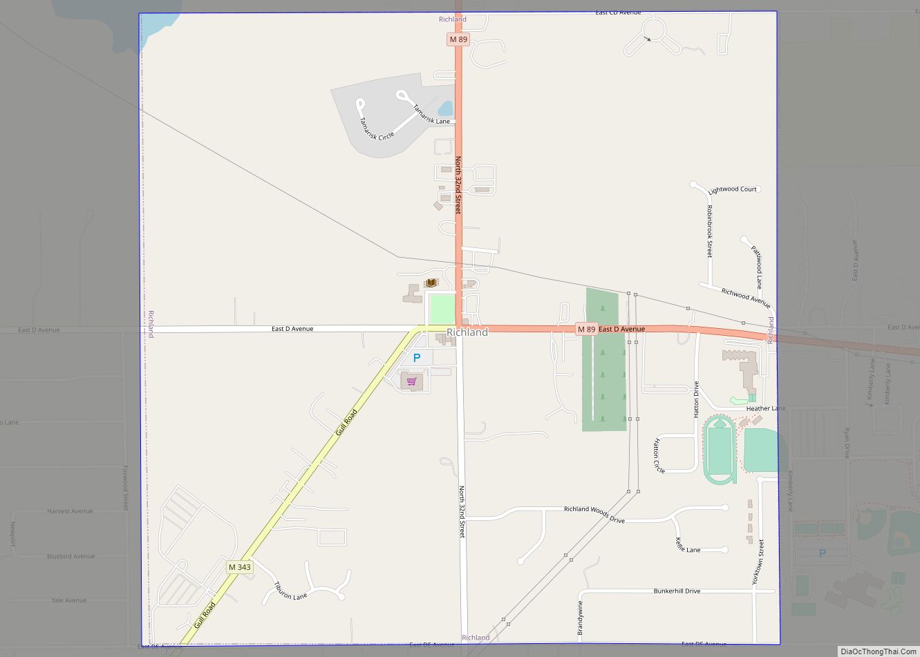
Galesburg Road Map
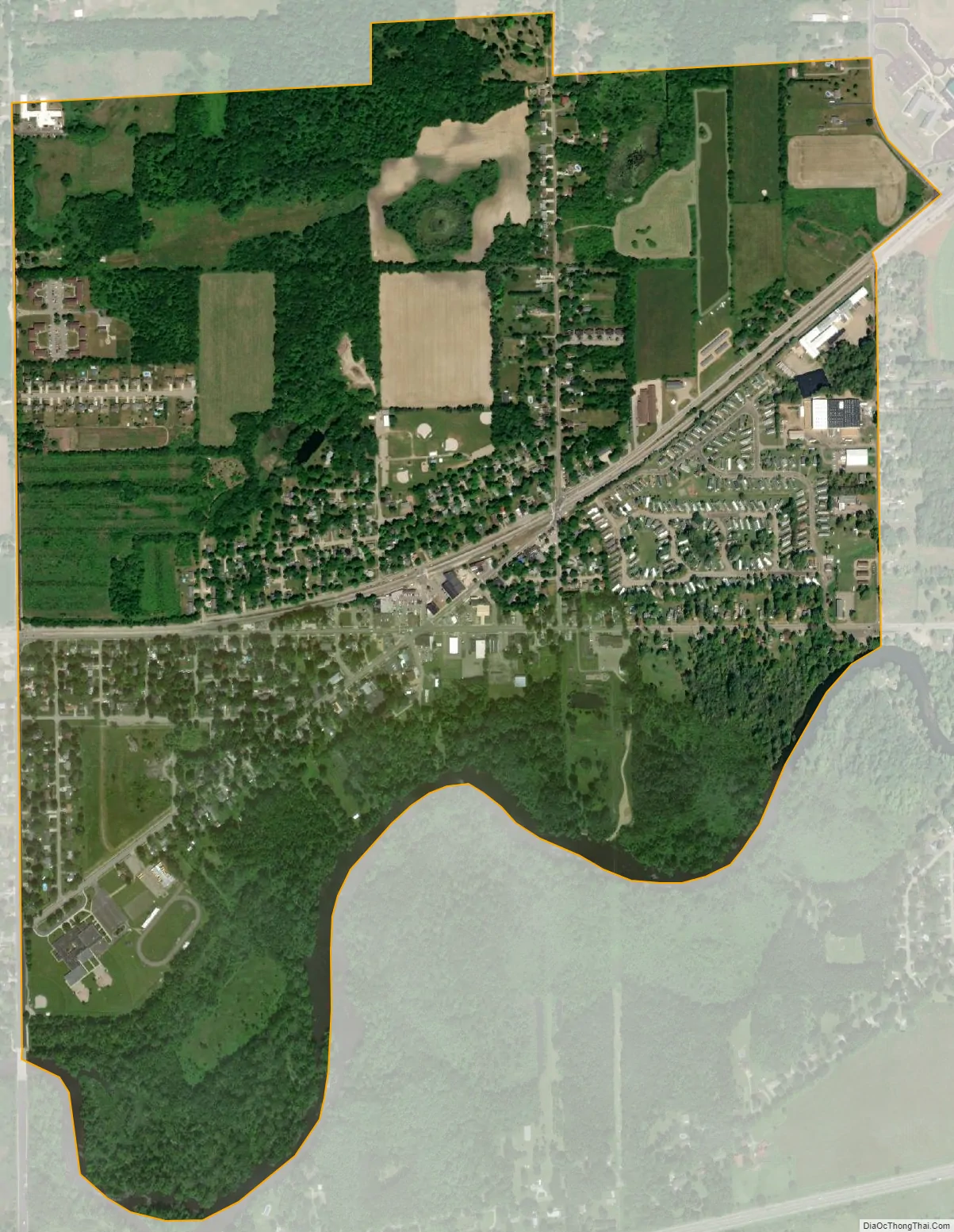
Galesburg city Satellite Map
Geography
According to the United States Census Bureau, the city has a total area of 1.45 square miles (3.76 km), of which 1.41 square miles (3.65 km) is land and 0.04 square miles (0.10 km) is water.
See also
Map of Michigan State and its subdivision:- Alcona
- Alger
- Allegan
- Alpena
- Antrim
- Arenac
- Baraga
- Barry
- Bay
- Benzie
- Berrien
- Branch
- Calhoun
- Cass
- Charlevoix
- Cheboygan
- Chippewa
- Clare
- Clinton
- Crawford
- Delta
- Dickinson
- Eaton
- Emmet
- Genesee
- Gladwin
- Gogebic
- Grand Traverse
- Gratiot
- Hillsdale
- Houghton
- Huron
- Ingham
- Ionia
- Iosco
- Iron
- Isabella
- Jackson
- Kalamazoo
- Kalkaska
- Kent
- Keweenaw
- Lake
- Lake Hurron
- Lake Michigan
- Lake St. Clair
- Lake Superior
- Lapeer
- Leelanau
- Lenawee
- Livingston
- Luce
- Mackinac
- Macomb
- Manistee
- Marquette
- Mason
- Mecosta
- Menominee
- Midland
- Missaukee
- Monroe
- Montcalm
- Montmorency
- Muskegon
- Newaygo
- Oakland
- Oceana
- Ogemaw
- Ontonagon
- Osceola
- Oscoda
- Otsego
- Ottawa
- Presque Isle
- Roscommon
- Saginaw
- Saint Clair
- Saint Joseph
- Sanilac
- Schoolcraft
- Shiawassee
- Tuscola
- Van Buren
- Washtenaw
- Wayne
- Wexford
- Alabama
- Alaska
- Arizona
- Arkansas
- California
- Colorado
- Connecticut
- Delaware
- District of Columbia
- Florida
- Georgia
- Hawaii
- Idaho
- Illinois
- Indiana
- Iowa
- Kansas
- Kentucky
- Louisiana
- Maine
- Maryland
- Massachusetts
- Michigan
- Minnesota
- Mississippi
- Missouri
- Montana
- Nebraska
- Nevada
- New Hampshire
- New Jersey
- New Mexico
- New York
- North Carolina
- North Dakota
- Ohio
- Oklahoma
- Oregon
- Pennsylvania
- Rhode Island
- South Carolina
- South Dakota
- Tennessee
- Texas
- Utah
- Vermont
- Virginia
- Washington
- West Virginia
- Wisconsin
- Wyoming