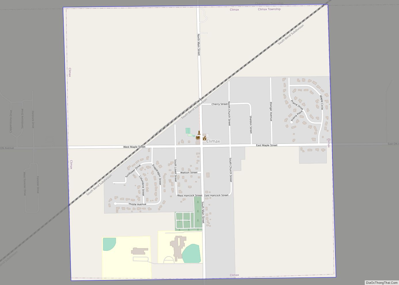
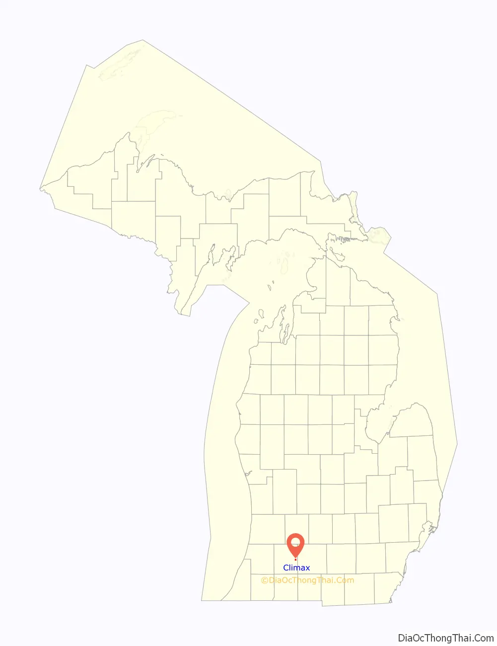
Climax is a village in Kalamazoo County in the U.S. state of Michigan. The population was 767 at the 2010 census. The village is located within Climax Township on the northern boundary with Charleston Township, and is roughly 12 miles (19 km) west of Battle Creek and 16 miles (26 km) east of Kalamazoo. Climax shares a school district with the neighboring town of Scotts.
| Name: | Climax village |
|---|---|
| LSAD Code: | 47 |
| LSAD Description: | village (suffix) |
| State: | Michigan |
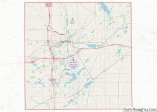
| County: | Kalamazoo County |
| Elevation: | 965 ft (294 m) |
| Total Area: | 1.05 sq mi (2.73 km²) |
| Land Area: | 1.05 sq mi (2.73 km²) |
| Water Area: | 0.00 sq mi (0.00 km²) |
| Total Population: | 712 |
| Population Density: | 674.88/sq mi (260.54/km²) |
| ZIP code: | 49034 |
| Area code: | 269 |
| FIPS code: | 2616440 |
| GNISfeature ID: | 0623472 |
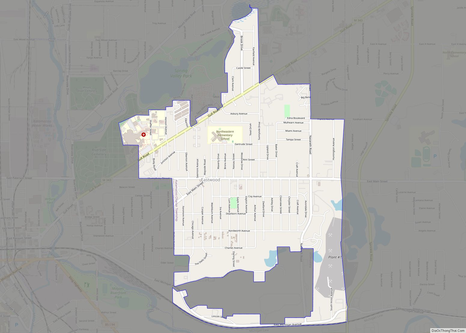
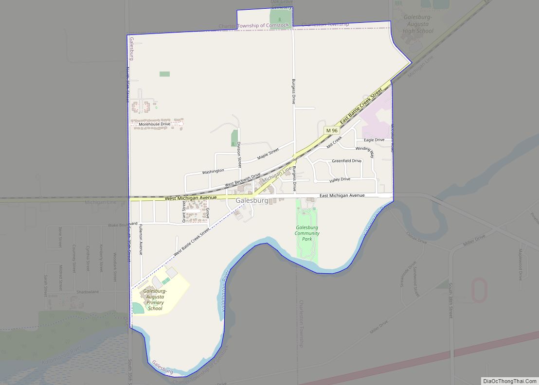
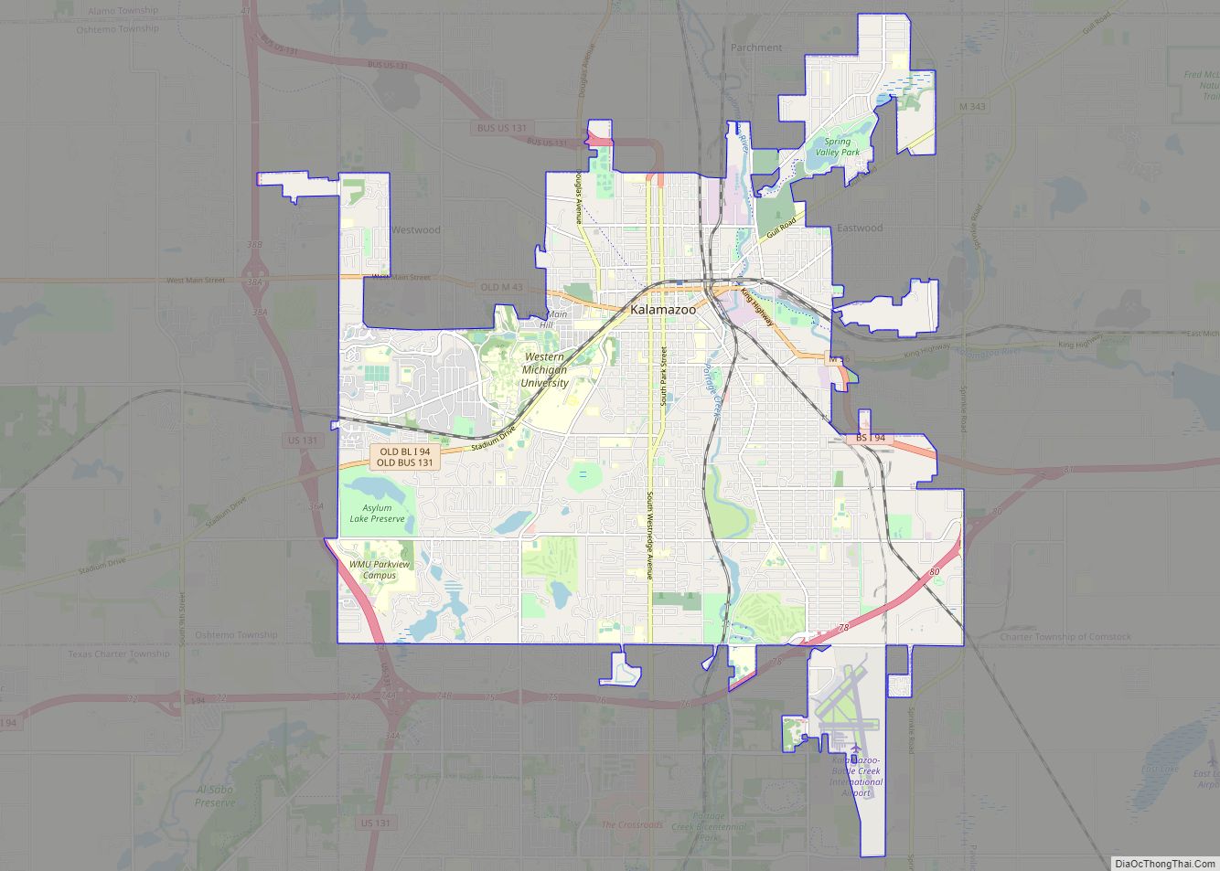
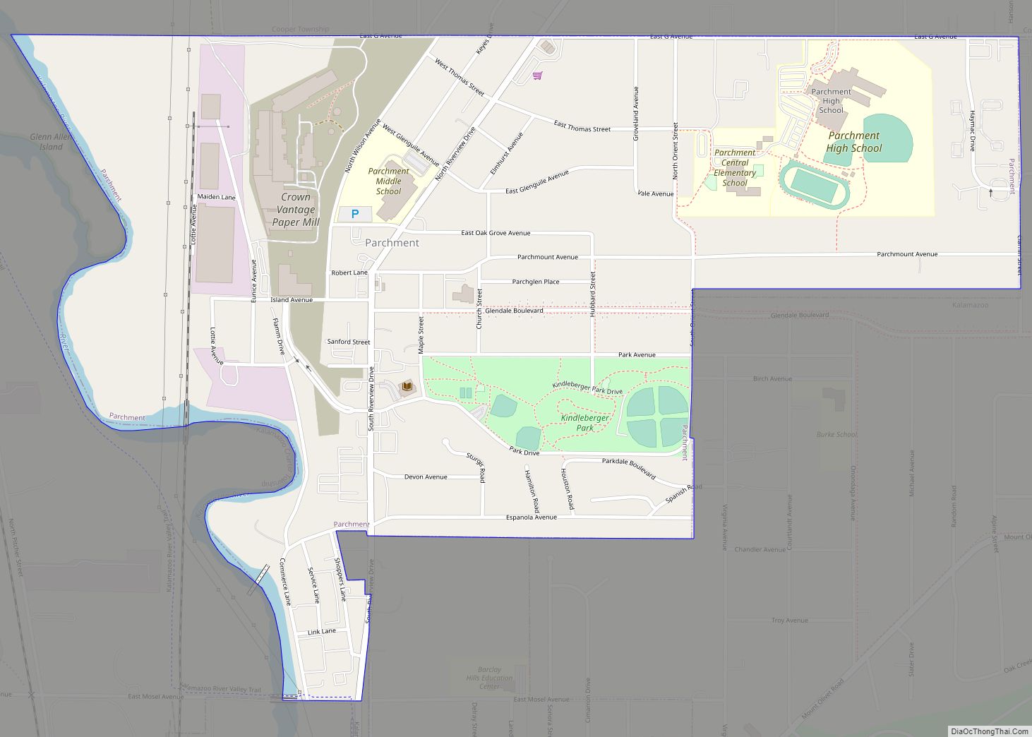
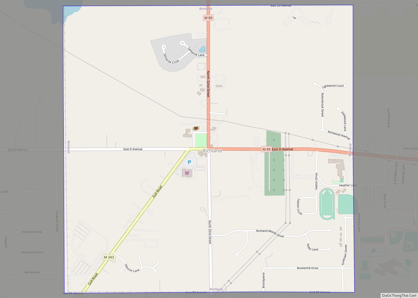
Online Interactive Map
Click on ![]() to view map in "full screen" mode.
to view map in "full screen" mode.
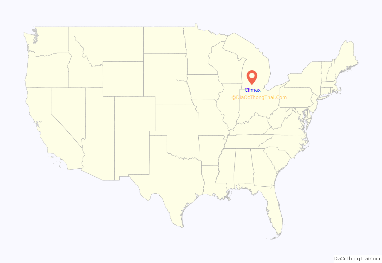
Climax location map. Where is Climax village?
History
In 1825, John Mullet was among the first white settlers in Climax, along with Calvin White (1831), and the Farnsworth brothers (1832) More Euro-American settlement of this area began in 1838. It was incorporated as a village in 1899.
Climax got its name in 1834, when the family of Judge Caleb Eldred found a prairie after months of searching for good farmland. His son, Daniel B. Eldred, climbed a tree to look around and said, “This caps the climax of everything we saw.”
On December 3, 1896, Climax and the surrounding area was the first community to receive free rural mail service from the U.S. Post Office in the state of Michigan.
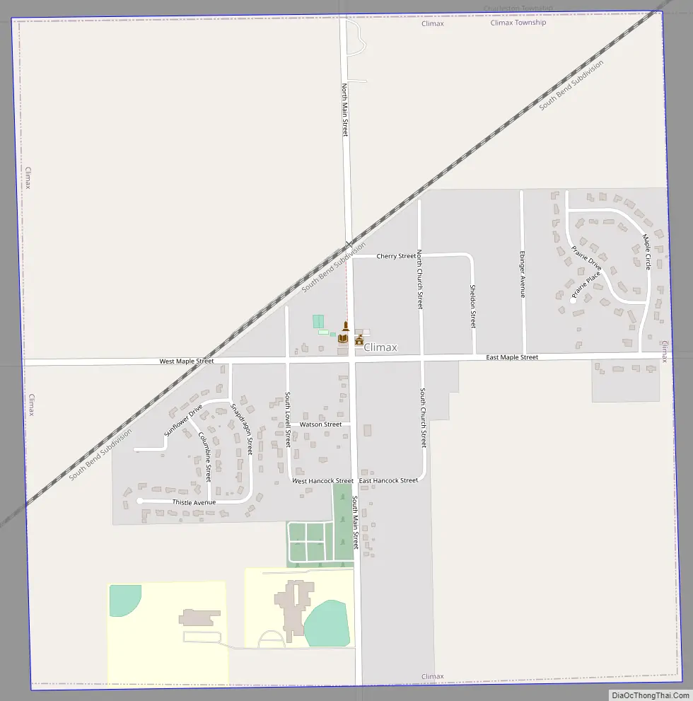
Climax Road Map
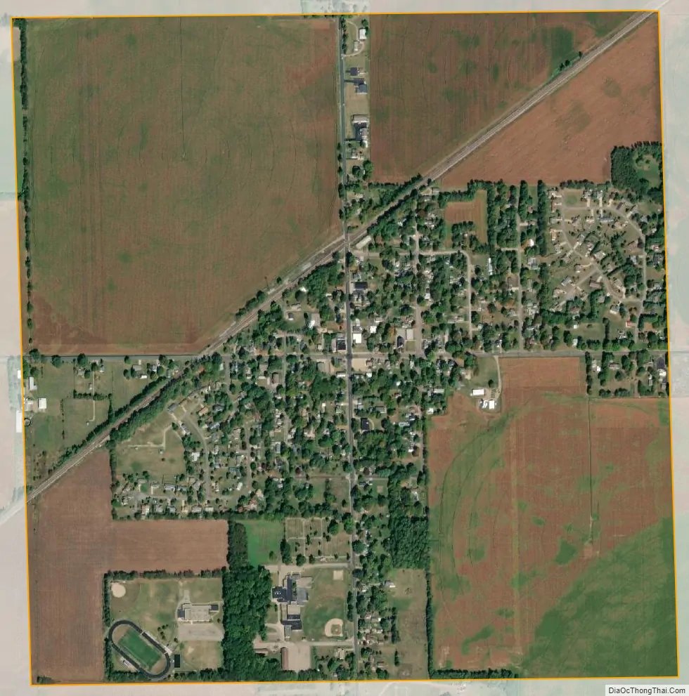
Climax city Satellite Map
Geography
According to the United States Census Bureau, the village has a total area of 1.06 square miles (2.75 km), all land.
See also
Map of Michigan State and its subdivision:- Alcona
- Alger
- Allegan
- Alpena
- Antrim
- Arenac
- Baraga
- Barry
- Bay
- Benzie
- Berrien
- Branch
- Calhoun
- Cass
- Charlevoix
- Cheboygan
- Chippewa
- Clare
- Clinton
- Crawford
- Delta
- Dickinson
- Eaton
- Emmet
- Genesee
- Gladwin
- Gogebic
- Grand Traverse
- Gratiot
- Hillsdale
- Houghton
- Huron
- Ingham
- Ionia
- Iosco
- Iron
- Isabella
- Jackson
- Kalamazoo
- Kalkaska
- Kent
- Keweenaw
- Lake
- Lake Hurron
- Lake Michigan
- Lake St. Clair
- Lake Superior
- Lapeer
- Leelanau
- Lenawee
- Livingston
- Luce
- Mackinac
- Macomb
- Manistee
- Marquette
- Mason
- Mecosta
- Menominee
- Midland
- Missaukee
- Monroe
- Montcalm
- Montmorency
- Muskegon
- Newaygo
- Oakland
- Oceana
- Ogemaw
- Ontonagon
- Osceola
- Oscoda
- Otsego
- Ottawa
- Presque Isle
- Roscommon
- Saginaw
- Saint Clair
- Saint Joseph
- Sanilac
- Schoolcraft
- Shiawassee
- Tuscola
- Van Buren
- Washtenaw
- Wayne
- Wexford
- Alabama
- Alaska
- Arizona
- Arkansas
- California
- Colorado
- Connecticut
- Delaware
- District of Columbia
- Florida
- Georgia
- Hawaii
- Idaho
- Illinois
- Indiana
- Iowa
- Kansas
- Kentucky
- Louisiana
- Maine
- Maryland
- Massachusetts
- Michigan
- Minnesota
- Mississippi
- Missouri
- Montana
- Nebraska
- Nevada
- New Hampshire
- New Jersey
- New Mexico
- New York
- North Carolina
- North Dakota
- Ohio
- Oklahoma
- Oregon
- Pennsylvania
- Rhode Island
- South Carolina
- South Dakota
- Tennessee
- Texas
- Utah
- Vermont
- Virginia
- Washington
- West Virginia
- Wisconsin
- Wyoming