Porterville is a city in the San Joaquin Valley, in Tulare County, California, United States. It is part of the Visalia-Porterville metropolitan statistical area. Since its incorporation in 1902, the city’s population has grown as it annexed nearby unincorporated areas. The city population (not including East Porterville) was 62,623 at the 2020 census.
Porterville serves as a gateway to Sequoia National Forest, Giant Sequoia National Monument and Kings Canyon National Park.
| Name: | Porterville city |
|---|---|
| LSAD Code: | 25 |
| LSAD Description: | city (suffix) |
| State: | California |
| County: | Tulare County |
| Incorporated: | May 7, 1902 |
| Elevation: | 459 ft (140 m) |
| Land Area: | 18.61 sq mi (48.20 km²) |
| Water Area: | 0.06 sq mi (0.14 km²) 0.41% |
| Population Density: | 3,400/sq mi (1,300/km²) |
| ZIP code: | 93257–93258, 93265, 93267, 93270, 93260 |
| Area code: | 559 |
| FIPS code: | 0658240 |
| Website: | www.ci.porterville.ca.us |
Online Interactive Map
Click on ![]() to view map in "full screen" mode.
to view map in "full screen" mode.
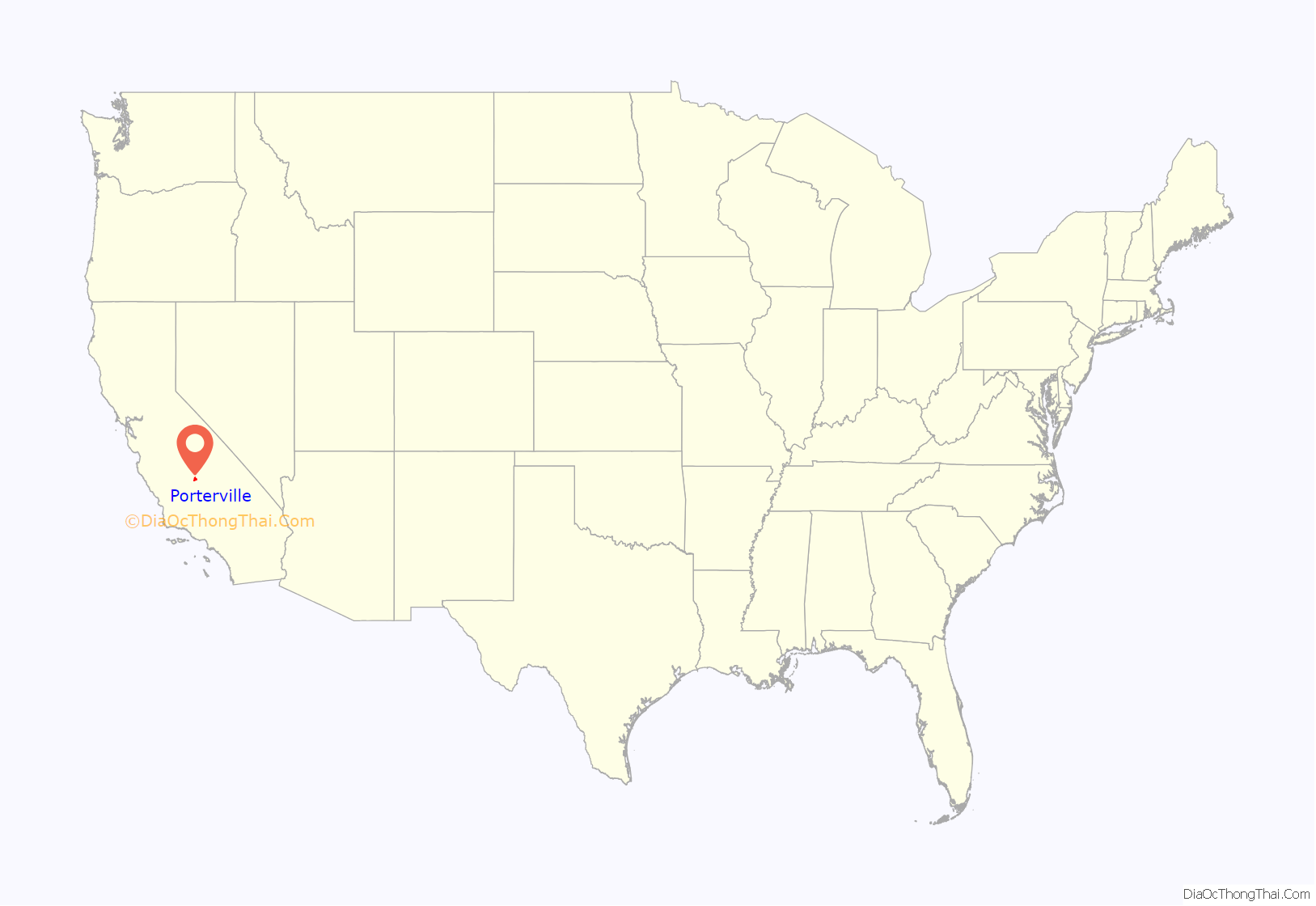
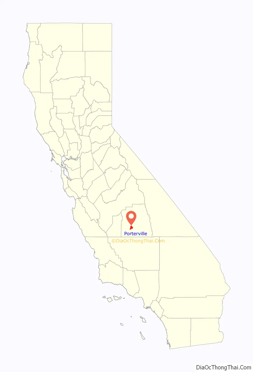
Porterville location map. Where is Porterville city?
History
During California’s Spanish period, the San Joaquin Valley was considered a remote region of little value. Emigrants skirted the eastern foothills in the vicinity of Porterville as early as 1826. Swamps stretched out into the Valley floor lush with tall rushes or “tulare” as the Indigenous people called them.
Gold discovered in 1848 brought a tremendous migration to California, and prairie schooners rolled through Porterville between 1849 and 1852. Starting in 1854, Peter Goodhue operated a stopping place on the Stockton – Los Angeles Road on the bank of the Tule River. Wagon trains of gold seekers passed through the village, but other travelers found the land rich and remained to establish farms. A store was set up in 1856 to sell goods to miners and the Native Americans, who lived in tribal lands along the rivers. From 1858 to 1861 it was the location of the Tule River Station of the Butterfield Overland Mail.
Royal Porter Putnam came to the village in 1860 to raise cattle, horses and hogs. He bought out Goodhue the same year and turned the station into a popular stopping place and hotel called Porter Station. He bought 40 acres of land and built a two-story store and a hotel on the highest point of the swampy property, which is now the corner of Oak and Main. The town of Porterville was founded there in 1864. It took its name from the founder’s given name because another Putnam family lived south of town.
In 1862 20.8 inches (530 mm) of rain fell in the area, causing a change of course of the Tule River. Putnam’s acres drained and he had his property surveyed, staking out lot lines and establishing streets. Settlers were offered a free lot for every one purchased. The need of a burgeoning California population for food provided the impetus that led to the permanent development of the east side of the southern San Joaquin Valley. The long, dry, hot summer prompted irrigation of the lands.
In 1888 the Southern Pacific Railway brought in the branch line from Fresno. The Pioneer Hotel and Bank were built by businessmen from San Francisco. Porterville incorporated in 1902, as miners moved into the area to extract magnesite ore, and the Chamber of Commerce was formed in 1907. A City Manager-Council form of government was adopted in 1926 and a Charter was adopted. The city has grown from a community of 5,000 in 1920. Agriculture supplemented by the Central Valley Water Project has been the major source of economic growth in the area. The city is the center of a large farming area especially noted for citrus and livestock.
Industry has become a significant factor in the development of the community. The Walmart Distribution Center, National Vitamin, Beckman Instruments, Standard Register, Sierra Pacific Apparel, Royalty Carpeting and other small companies have facilities in Porterville. Several large public facilities are also located here. These include the Porterville Developmental Center, Sequoia National Forest Headquarters, the Army Corps of Engineers Lake Success Facility and the Porterville College campus of the Kern Community College District.
On March 10, 2023, the city was heavily impacted by catastrophic flash floods, which caused the National Weather Service to issue five separate flash flood emergencies for the city. The city was under these emergencies for nine and a half hours straight.
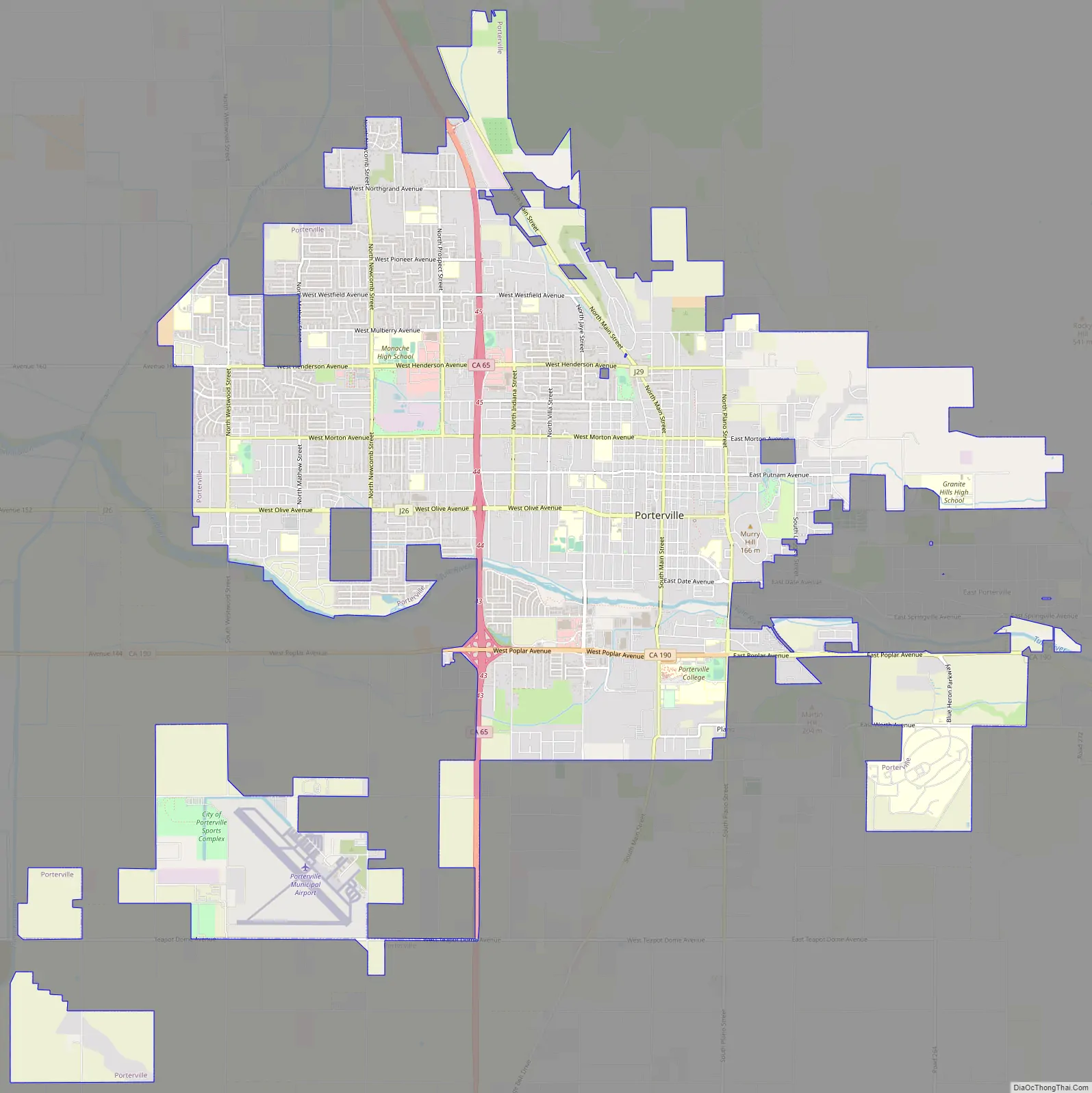
Porterville Road Map
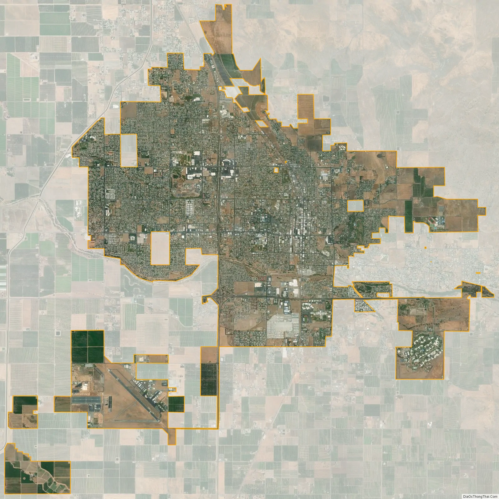
Porterville city Satellite Map
Geography
Porterville is located at 36°4′7″N 119°1′39″W / 36.06861°N 119.02750°W / 36.06861; -119.02750 (36.068550, -119.027536).
According to the United States Census Bureau, the city has a total area of 17.7 square miles (46 km), of which, 17.6 square miles (46 km) of it is land and 0.1 square miles (0.26 km) of it (0.41%) is water.
Porterville is located on the Tule River at the base of the western foothills of the Sierra Nevada and easternmost section of California’s Central Valley. In the foothills above Porterville is the man-made Lake Success.
Porterville, lying along the foothills of the Sierras at an elevation of 455 feet (139 m), is located on State Highway 65, 165 miles (266 km) north of Los Angeles, and 171 miles (275 km) east of the Pacific Coast. The city has a strategic central location to major markets and a ready access to major transportation routes.
Geology
Porterville is subject to earthquakes due to its location within the Pacific Ring of Fire. The geologic instability involves numerous faults, which cause many earthquakes every year, but most are of low intensity and are not felt. The primary plate boundary is the San Andreas Fault, which was the source of the 1857 Fort Tejon earthquake. Another major event that affected the Porterville area was the Kern County sequence of shocks that occurred on the White Wolf Fault during July and August 1952. Most parts of the city are also vulnerable to floods. The San Joaquin Valley and metropolitan areas are also at risk from blind thrust earthquakes.
Climate
Porterville has a cool semi-arid climate (Köppen BSk) that is close to both a mediterranean climate (Csa) and a hot semi-arid climate (BSh). It is characterized by sweltering and arid summers, and pleasant winters with frosty mornings and occasional heavy rainfall.
Environmental issues
Owing to geography, heavy reliance on automobiles and agriculture, Porterville suffers from air pollution in the form of smog. The Porterville area and the rest of the San Joaquin Valley are susceptible to atmospheric inversion, which holds in the exhausts from road vehicles, airplanes, locomotives, agriculture, manufacturing and other sources. Unlike other cities that rely on rain to clear smog, Porterville gets only 13.00 inches (330.20 mm) of rain each year: pollution accumulates over many consecutive days. Issues of air quality in Porterville and other major cities led to the passage of early national environmental legislation, including the Clean Air Act. More recently, the state of California has led the nation in working to limit pollution by mandating low-emission vehicles. Smog levels are only high during summers because it is dry and warm. In the winter, storms help to clear the smog and it is not as much of a problem. Smog should continue to drop in the coming years due to aggressive steps to reduce it, electric and hybrid cars and other pollution-reducing measures taken.
As a result, pollution levels have dropped in recent decades. The number of Stage 1 smog alerts has declined from over 100 per year in the 1970s to almost zero in the new millennium. Despite improvement, the 2006 annual report of the American Lung Association ranked the city as the 11th most polluted in the country, with short-term particle pollution and year-round particle pollution. In 2007 the annual report of the American Lung Association ranked the city as the 4th most polluted in the country with short-term particle pollution and year-round particle pollution. In 2008, the city was ranked the third most polluted and again fourth for highest year-round particulate pollution.
Porterville is also experiencing environmental issues due to California’s extreme drought. Most of the nearby unincorporated area of East Porterville has run out of its supply of groundwater, an unfortunate consequence of the entire unincorporated area relying heavily on private wells. Porterville spent much of 2014 sending shipments of bottled water to East Porterville.
See also
Map of California State and its subdivision:- Alameda
- Alpine
- Amador
- Butte
- Calaveras
- Colusa
- Contra Costa
- Del Norte
- El Dorado
- Fresno
- Glenn
- Humboldt
- Imperial
- Inyo
- Kern
- Kings
- Lake
- Lassen
- Los Angeles
- Madera
- Marin
- Mariposa
- Mendocino
- Merced
- Modoc
- Mono
- Monterey
- Napa
- Nevada
- Orange
- Placer
- Plumas
- Riverside
- Sacramento
- San Benito
- San Bernardino
- San Diego
- San Francisco
- San Joaquin
- San Luis Obispo
- San Mateo
- Santa Barbara
- Santa Clara
- Santa Cruz
- Shasta
- Sierra
- Siskiyou
- Solano
- Sonoma
- Stanislaus
- Sutter
- Tehama
- Trinity
- Tulare
- Tuolumne
- Ventura
- Yolo
- Yuba
- Alabama
- Alaska
- Arizona
- Arkansas
- California
- Colorado
- Connecticut
- Delaware
- District of Columbia
- Florida
- Georgia
- Hawaii
- Idaho
- Illinois
- Indiana
- Iowa
- Kansas
- Kentucky
- Louisiana
- Maine
- Maryland
- Massachusetts
- Michigan
- Minnesota
- Mississippi
- Missouri
- Montana
- Nebraska
- Nevada
- New Hampshire
- New Jersey
- New Mexico
- New York
- North Carolina
- North Dakota
- Ohio
- Oklahoma
- Oregon
- Pennsylvania
- Rhode Island
- South Carolina
- South Dakota
- Tennessee
- Texas
- Utah
- Vermont
- Virginia
- Washington
- West Virginia
- Wisconsin
- Wyoming


