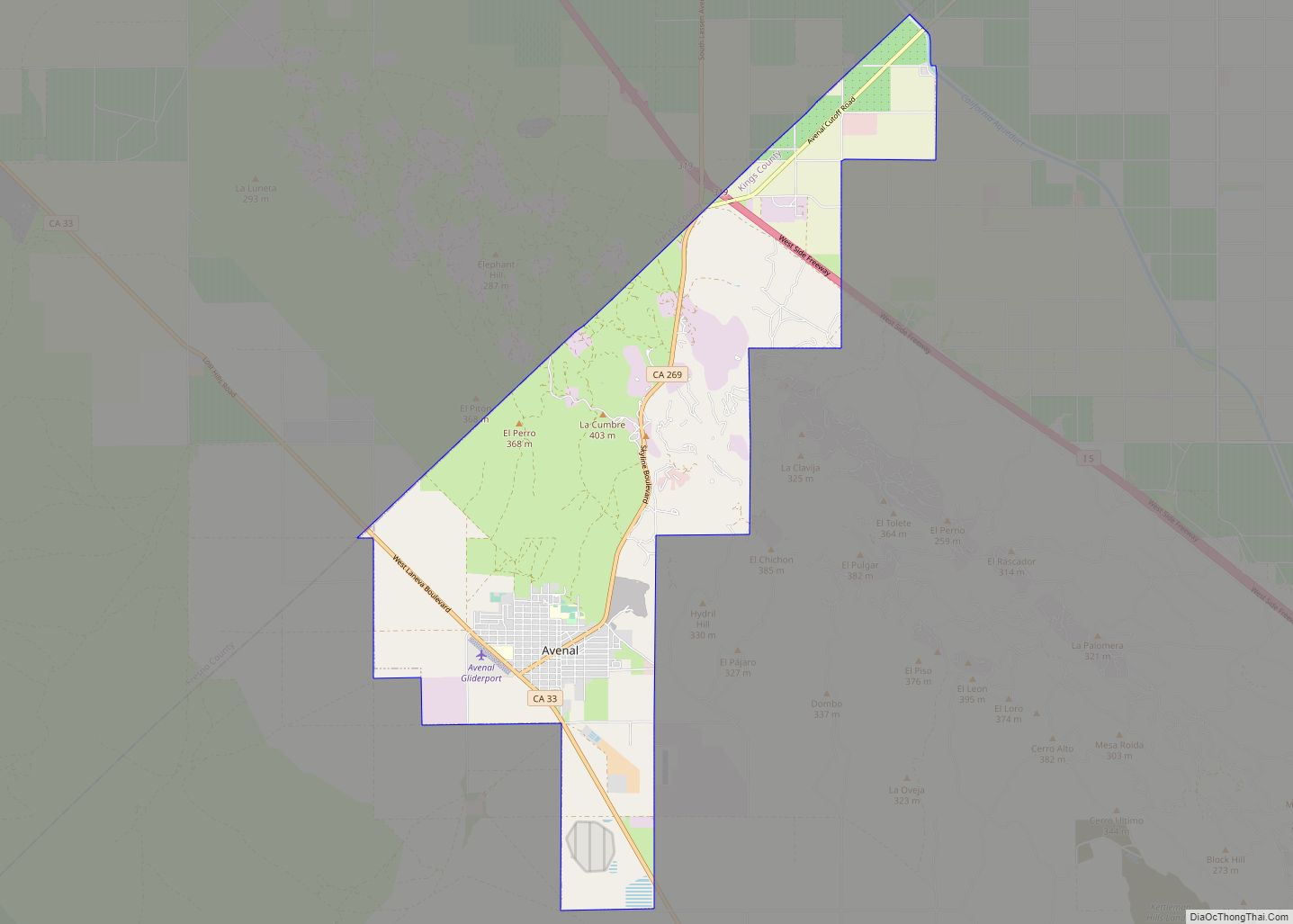
Avenal (Spanish for “Oat field”) is a city in Kings County, California, United States. Avenal is located 35 miles (56 km) southwest of Hanford, at an elevation of 807 ft (246 m). It is part of the Hanford–Corcoran Metropolitan Statistical Area (MSA Code 25260), which encompasses all of Kings County. In area, it is the fourth-largest city in Kings County. The ZIP Code for this community is 93204, and telephone numbers use the sequence (559) 386-XXXX. The population was 15,505 in the 2010 census, which includes inmates at the Avenal State Prison, the first prison actively solicited by a community in the state of California. Many of the remaining residents largely either work at the prison or in the agriculture industry. The prison provides approximately 1,000 jobs to residents. The California Department of Finance estimated that Avenal’s population was 13,496 on July 1, 2019. As of that date, Avenal State Prison held 4,165 inmates, which was about 32% of the total population of Avenal. Inmates are counted as city residents by both the United States census and the California Department of Finance.
| Name: | Avenal city |
|---|---|
| LSAD Code: | 25 |
| LSAD Description: | city (suffix) |
| State: | California |
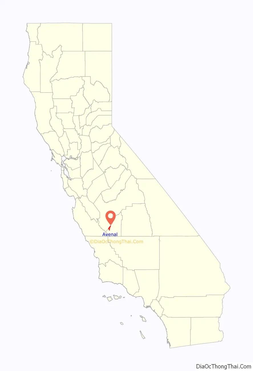
| County: | Kings County |
| Incorporated: | September 11, 1979 |
| Elevation: | 807 ft (246 m) |
| Total Area: | 19.48 sq mi (50.46 km²) |
| Land Area: | 19.48 sq mi (50.46 km²) |
| Water Area: | 0.00 sq mi (0.00 km²) 0% |
| Total Population: | 13,696 |
| Population Density: | 702.97/sq mi (271.42/km²) |
| ZIP code: | 93204 |
| Area code: | 559 |
| FIPS code: | 0603302 |
| Website: | www.cityofavenal.com |
Online Interactive Map
Click on ![]() to view map in "full screen" mode.
to view map in "full screen" mode.
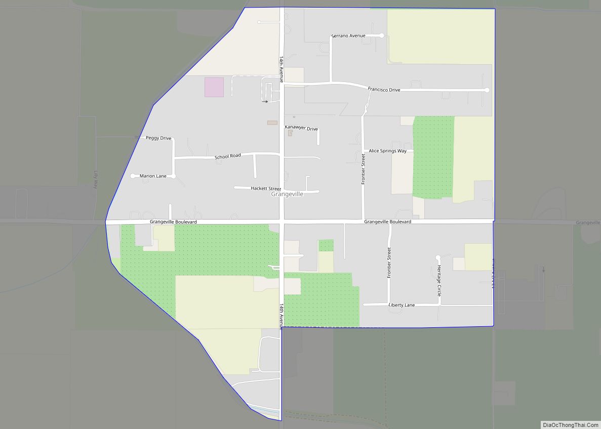
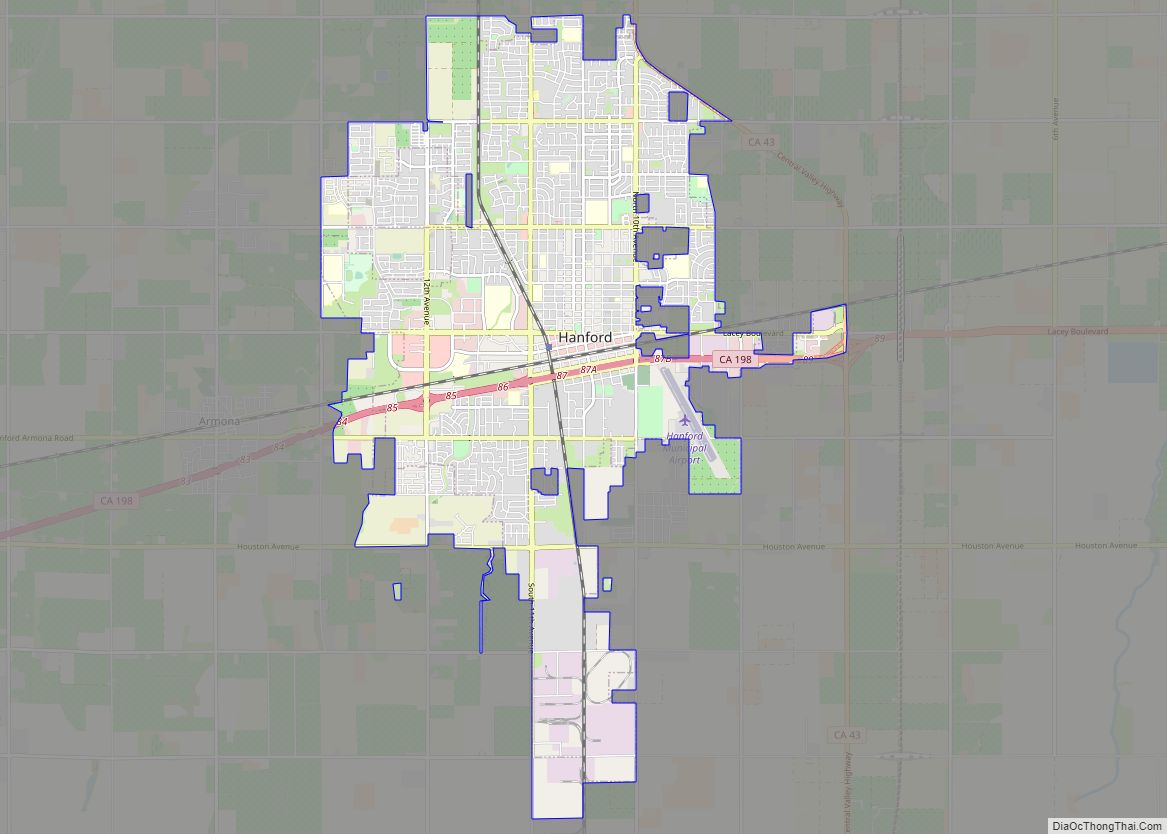
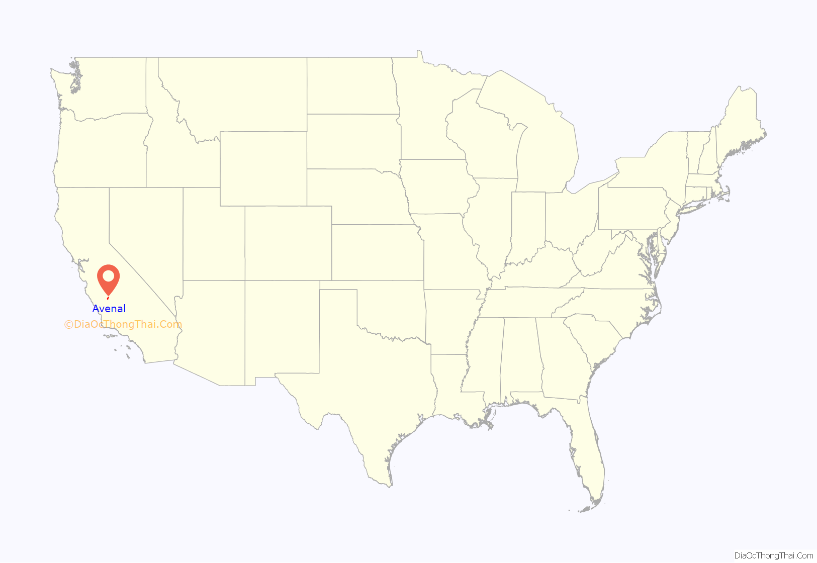
Avenal location map. Where is Avenal city?
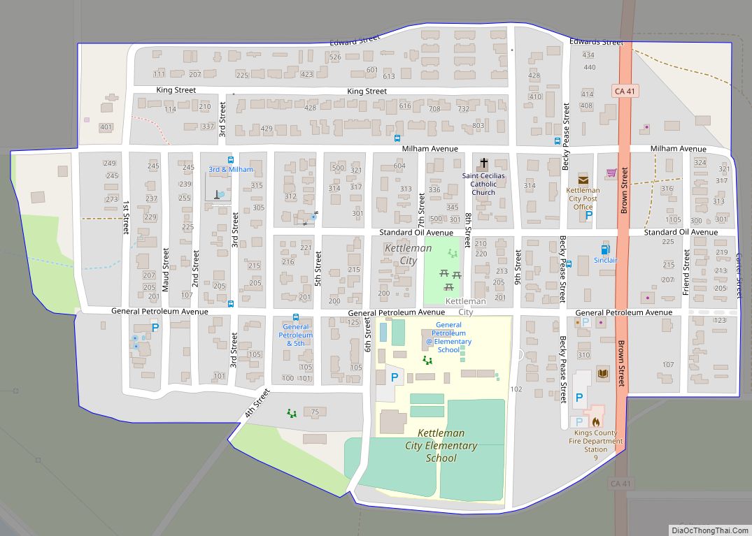
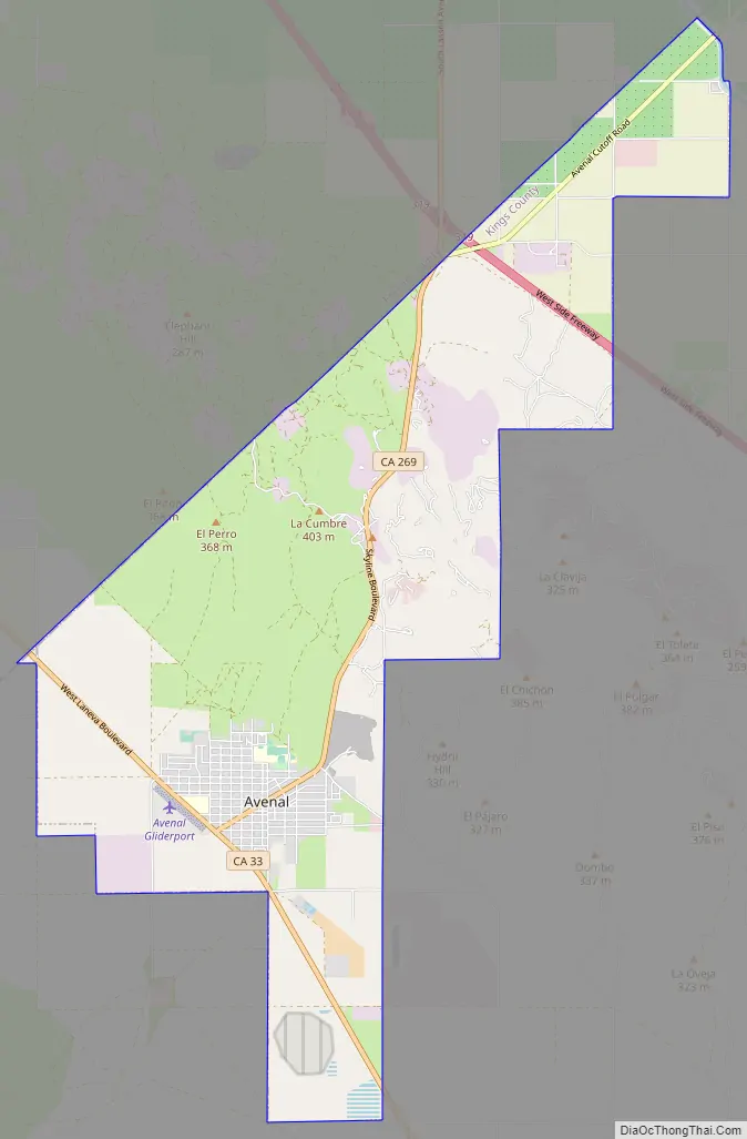
Avenal Road Map
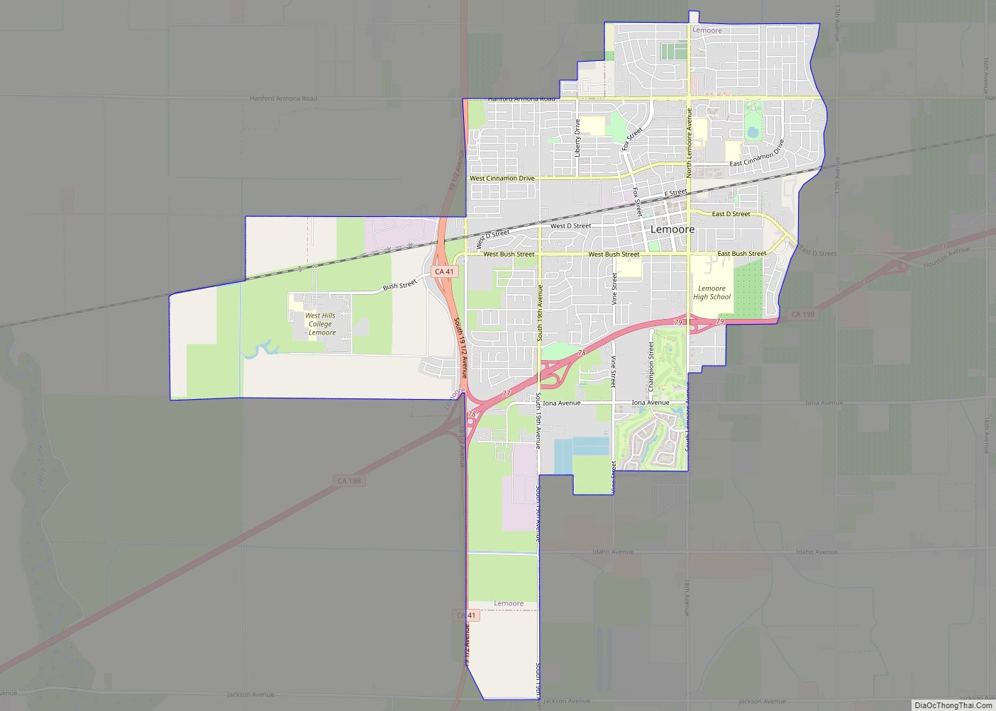
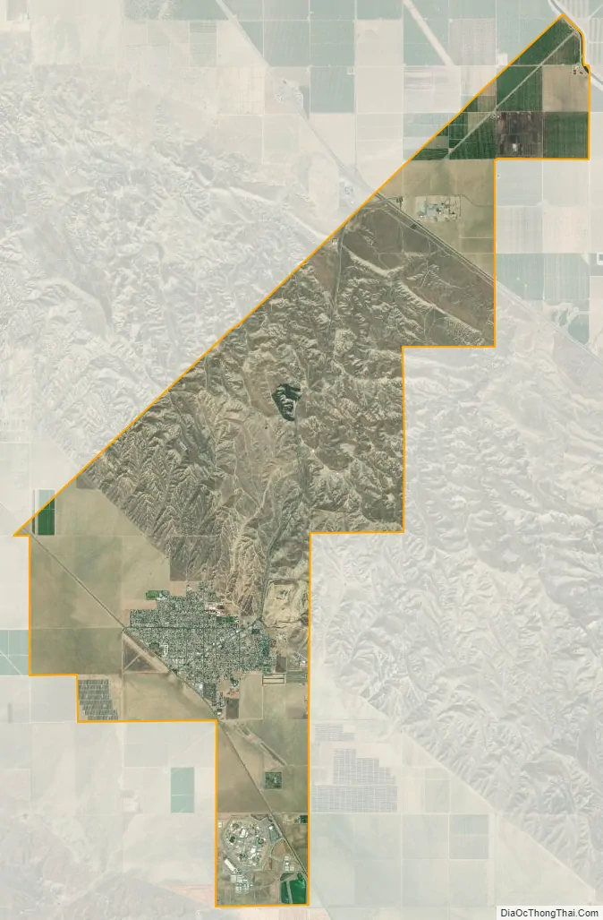
Avenal city Satellite Map
Geography
Avenal is located at 36°00′15″N 120°07′14″W / 36.00417°N 120.12056°W / 36.00417; -120.12056, 180 miles (290 km) north of Los Angeles and 200 miles (320 km) south of both San Francisco and Sacramento. The city boasts at being located, “Half the way from the Bay to L.A.” According to the United States Census Bureau, Avenal has a total area of 19.4 square miles (50 km), all of it land.
Most of the population resides in the southwestern portion of the city. The northeastern areas, separated by hills, and where Interstate 5 passes through, remain mostly rural.
Climate
According to the Köppen Climate Classification system, Avenal has a semi-arid climate, abbreviated “BSk” on climate maps.
See also
Map of California State and its subdivision:- Alameda
- Alpine
- Amador
- Butte
- Calaveras
- Colusa
- Contra Costa
- Del Norte
- El Dorado
- Fresno
- Glenn
- Humboldt
- Imperial
- Inyo
- Kern
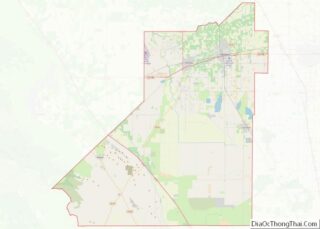
- Kings
- Lake
- Lassen
- Los Angeles
- Madera
- Marin
- Mariposa
- Mendocino
- Merced
- Modoc
- Mono
- Monterey
- Napa
- Nevada
- Orange
- Placer
- Plumas
- Riverside
- Sacramento
- San Benito
- San Bernardino
- San Diego
- San Francisco
- San Joaquin
- San Luis Obispo
- San Mateo
- Santa Barbara
- Santa Clara
- Santa Cruz
- Shasta
- Sierra
- Siskiyou
- Solano
- Sonoma
- Stanislaus
- Sutter
- Tehama
- Trinity
- Tulare
- Tuolumne
- Ventura
- Yolo
- Yuba
- Alabama
- Alaska
- Arizona
- Arkansas
- California
- Colorado
- Connecticut
- Delaware
- District of Columbia
- Florida
- Georgia
- Hawaii
- Idaho
- Illinois
- Indiana
- Iowa
- Kansas
- Kentucky
- Louisiana
- Maine
- Maryland
- Massachusetts
- Michigan
- Minnesota
- Mississippi
- Missouri
- Montana
- Nebraska
- Nevada
- New Hampshire
- New Jersey
- New Mexico
- New York
- North Carolina
- North Dakota
- Ohio
- Oklahoma
- Oregon
- Pennsylvania
- Rhode Island
- South Carolina
- South Dakota
- Tennessee
- Texas
- Utah
- Vermont
- Virginia
- Washington
- West Virginia
- Wisconsin
- Wyoming