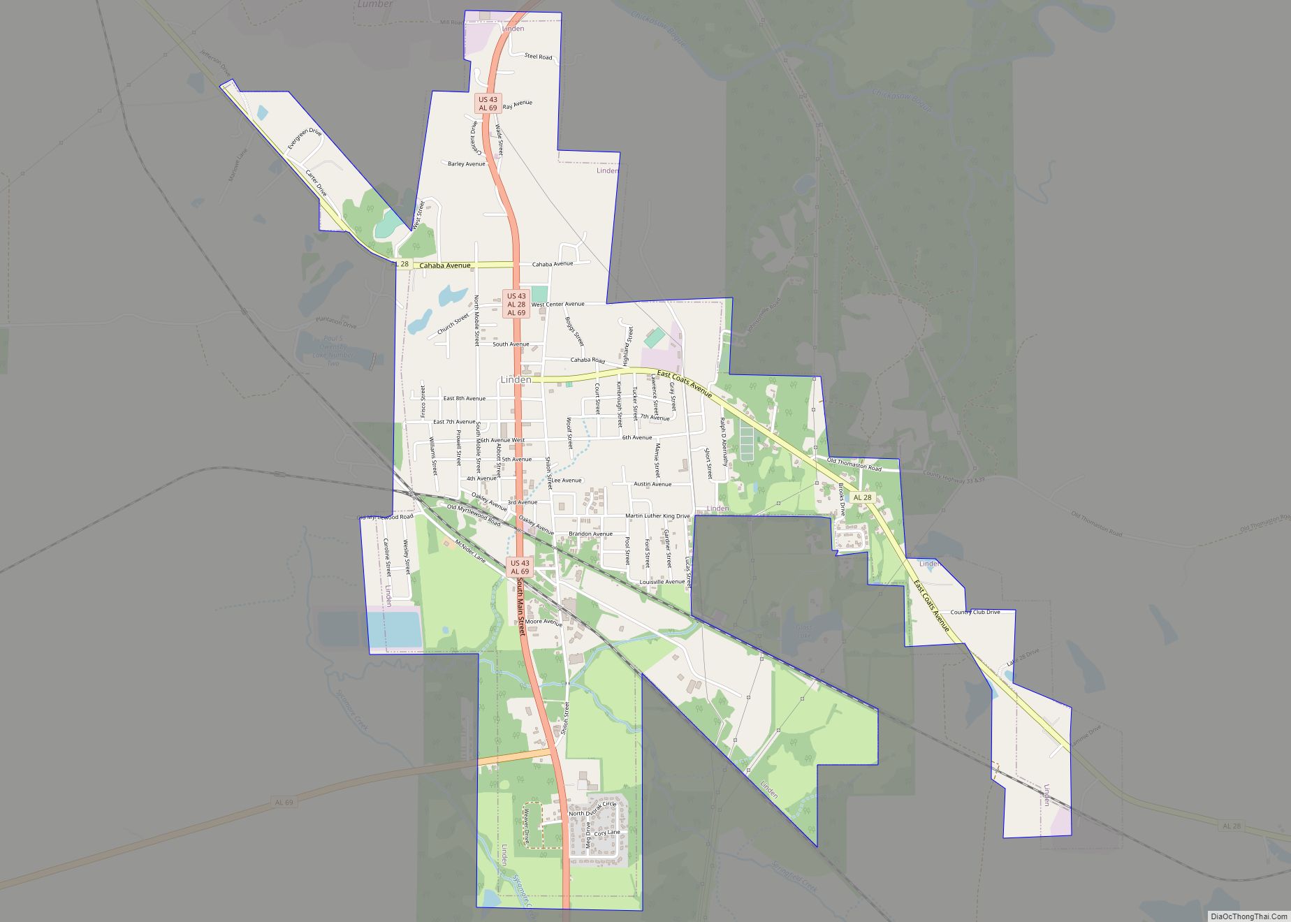
Linden is a city in and the county seat of Marengo County, Alabama, United States. The population was 1,930 at the 2020 census, down from 2,123 at the 2010 census.
| Name: | Linden city |
|---|---|
| LSAD Code: | 25 |
| LSAD Description: | city (suffix) |
| State: | Alabama |
| County: | Marengo County |
| Elevation: | 161 ft (49 m) |
| Total Area: | 3.61 sq mi (9.36 km²) |
| Land Area: | 3.58 sq mi (9.27 km²) |
| Water Area: | 0.03 sq mi (0.09 km²) |
| Total Population: | 1,930 |
| Population Density: | 539.3/sq mi (208.24/km²) |
| ZIP code: | 36748 |
| Area code: | 334 |
| FIPS code: | 0143240 |
| GNISfeature ID: | 0152070 |
| Website: | www.lindenalabama.net |
Online Interactive Map
Click on ![]() to view map in "full screen" mode.
to view map in "full screen" mode.
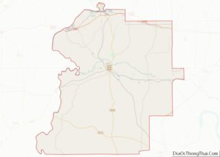
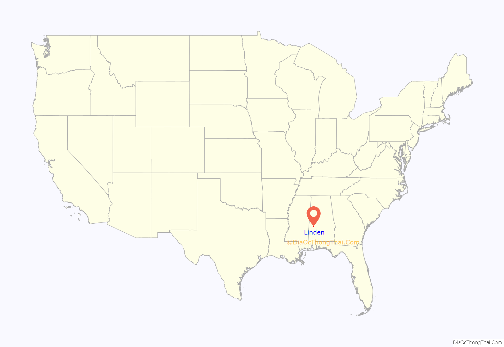
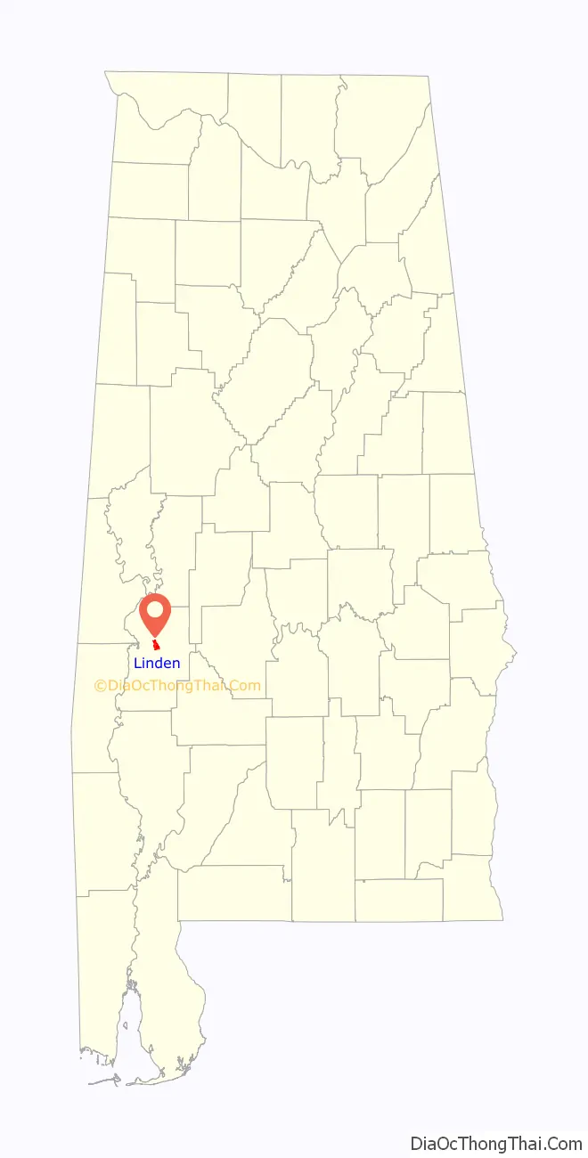
Linden location map. Where is Linden city?
History
Settled prior to 1818, the community was first known as “Screamersville”, since the cry of wild animals could still be heard during the night. It became the county seat in 1819 and was then known as the “Town of Marengo”. This was changed to “Hohenlinden” in 1823, to honor the county’s earliest European settlers, French Bonapartist refugees to the Vine and Olive Colony. The name commemorated the battle in 1800 at Hohenlinden, Bavaria, where the French defeated the armies of both Austria and Bavaria. The spelling was later shorten to just Linden.
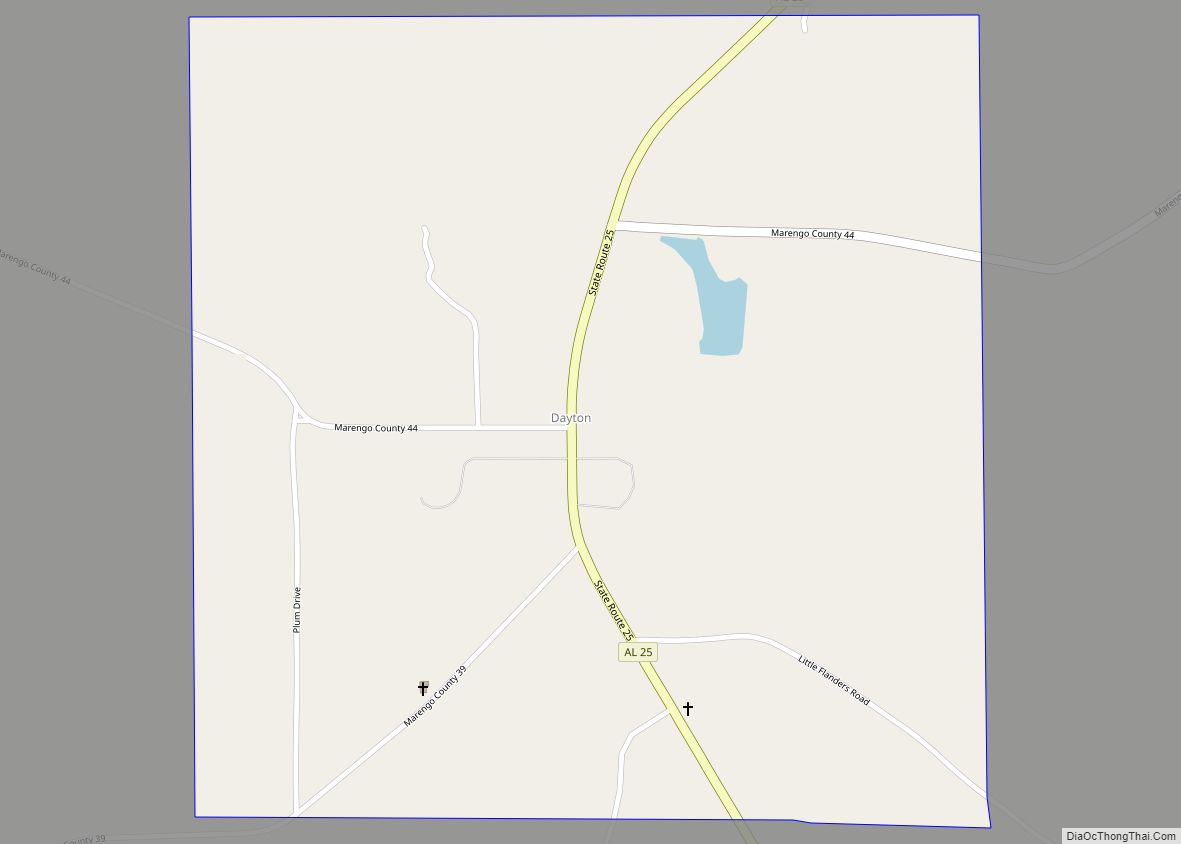
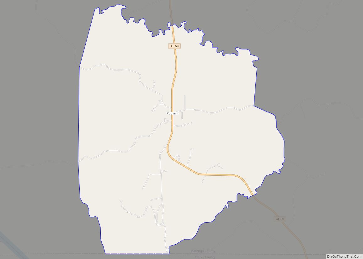
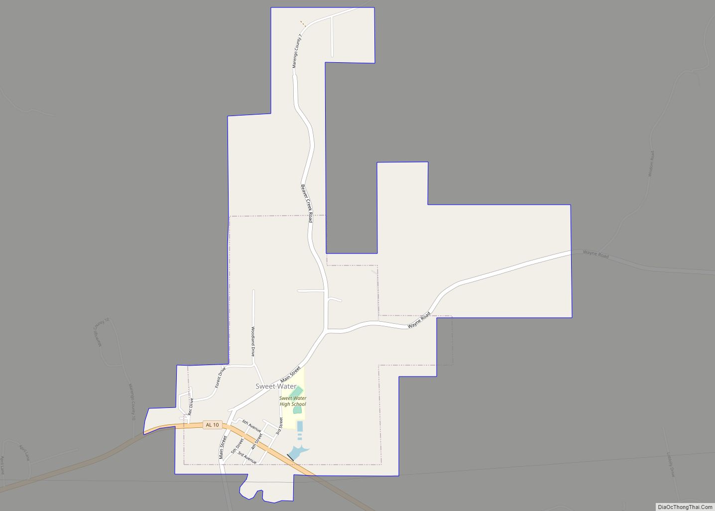
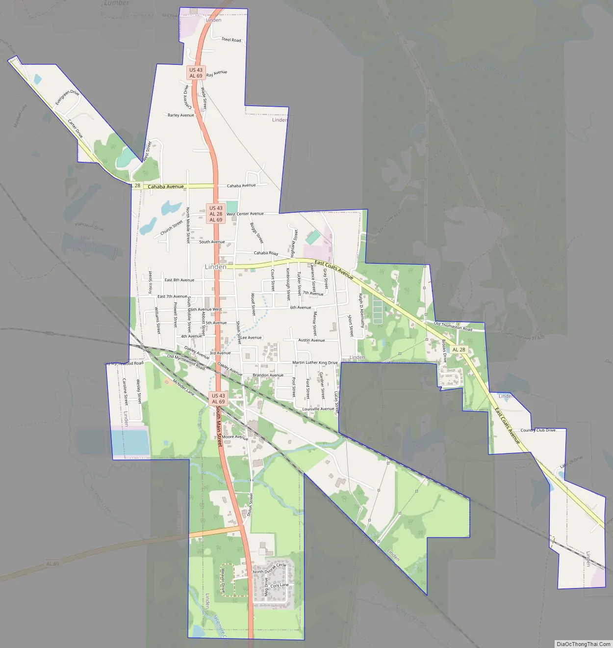
Linden Road Map
Linden city Satellite Map

Geography
Linden is located in central Marengo County at 32°18′4″N 87°47′34″W / 32.30111°N 87.79278°W / 32.30111; -87.79278 (32.301154, −87.792650). It is 16 miles (26 km) south of Demopolis, the largest city in Marengo County, 11 miles (18 km) west of Thomaston, and 28 miles (45 km) north of Thomasville.
According to the U.S. Census Bureau, the city has a total area of 3.6 square miles (9.3 km), of which 0.03 square miles (0.08 km), or 0.94%, are water. The city drains north to Chickasaw Bogue, a west-flowing tributary of the Tombigbee River, and south to Sycamore Creek, a tributary of Chickasaw Bogue.
See also
Map of Alabama State and its subdivision:- Autauga
- Baldwin
- Barbour
- Bibb
- Blount
- Bullock
- Butler
- Calhoun
- Chambers
- Cherokee
- Chilton
- Choctaw
- Clarke
- Clay
- Cleburne
- Coffee
- Colbert
- Conecuh
- Coosa
- Covington
- Crenshaw
- Cullman
- Dale
- Dallas
- De Kalb
- Elmore
- Escambia
- Etowah
- Fayette
- Franklin
- Geneva
- Greene
- Hale
- Henry
- Houston
- Jackson
- Jefferson
- Lamar
- Lauderdale
- Lawrence
- Lee
- Limestone
- Lowndes
- Macon
- Madison
- Marengo
- Marion
- Marshall
- Mobile
- Monroe
- Montgomery
- Morgan
- Perry
- Pickens
- Pike
- Randolph
- Russell
- Saint Clair
- Shelby
- Sumter
- Talladega
- Tallapoosa
- Tuscaloosa
- Walker
- Washington
- Wilcox
- Winston
- Alabama
- Alaska
- Arizona
- Arkansas
- California
- Colorado
- Connecticut
- Delaware
- District of Columbia
- Florida
- Georgia
- Hawaii
- Idaho
- Illinois
- Indiana
- Iowa
- Kansas
- Kentucky
- Louisiana
- Maine
- Maryland
- Massachusetts
- Michigan
- Minnesota
- Mississippi
- Missouri
- Montana
- Nebraska
- Nevada
- New Hampshire
- New Jersey
- New Mexico
- New York
- North Carolina
- North Dakota
- Ohio
- Oklahoma
- Oregon
- Pennsylvania
- Rhode Island
- South Carolina
- South Dakota
- Tennessee
- Texas
- Utah
- Vermont
- Virginia
- Washington
- West Virginia
- Wisconsin
- Wyoming