Demopolis is the largest city in Marengo County, in west-central Alabama. The population was 7,162 at the time of the 2020 United States census, down from 7,483 at the 2010 census.
The city lies at the confluence of the Black Warrior River and Tombigbee River. It is situated atop a cliff composed of the Demopolis Chalk Formation, known locally as White Bluff, on the east bank of the Tombigbee. It is at the center of Alabama’s Canebrake region and is also within the Black Belt region.
Demopolis was founded in the early 1800s after the fall of Napoleon’s empire. It was named by a group of French expatriates, a mix of exiled Bonapartists and other French refugees who had settled in the United States after the overthrow of the colonial government in Saint-Domingue by enslaved workers. Napoleon had sent troops there in a last attempt to regain control of the island, but they were defeated, largely by high mortality due to yellow fever.
The name, meaning in Greek “the People’s City” or “City of the People” (from Ancient Greek δῆμος + πόλις), was chosen to honor the democratic ideals behind the endeavor. First settled in 1817, it is one of the oldest continuous settlements in the interior of Alabama. French colonists had founded Mobile on the coast in the early 18th century. Demopolis was incorporated on December 11, 1821.
| Name: | Demopolis city |
|---|---|
| LSAD Code: | 25 |
| LSAD Description: | city (suffix) |
| State: | Alabama |
| County: | Marengo County |
| Elevation: | 121 ft (37 m) |
| Total Area: | 18.07 sq mi (46.79 km²) |
| Land Area: | 17.75 sq mi (45.96 km²) |
| Water Area: | 0.32 sq mi (0.84 km²) |
| Total Population: | 7,162 |
| Population Density: | 404/sq mi (155.8/km²) |
| ZIP code: | 36732 |
| Area code: | 334 |
| FIPS code: | 0120296 |
| GNISfeature ID: | 0117222 |
| Website: | www.demopolisal.gov |
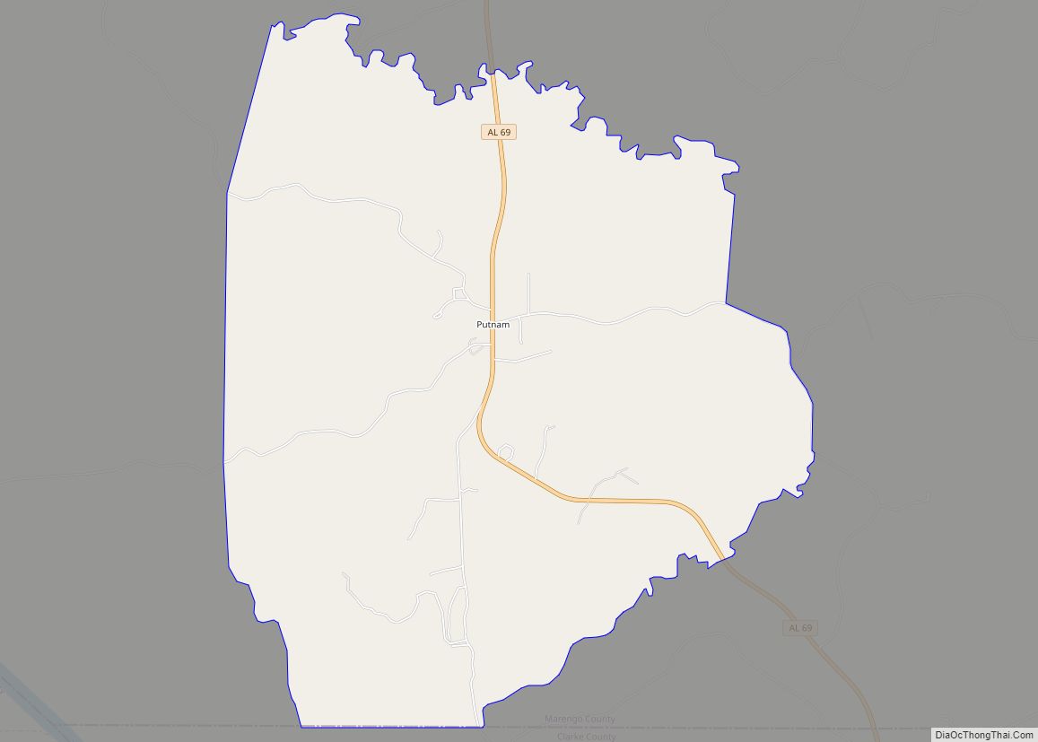
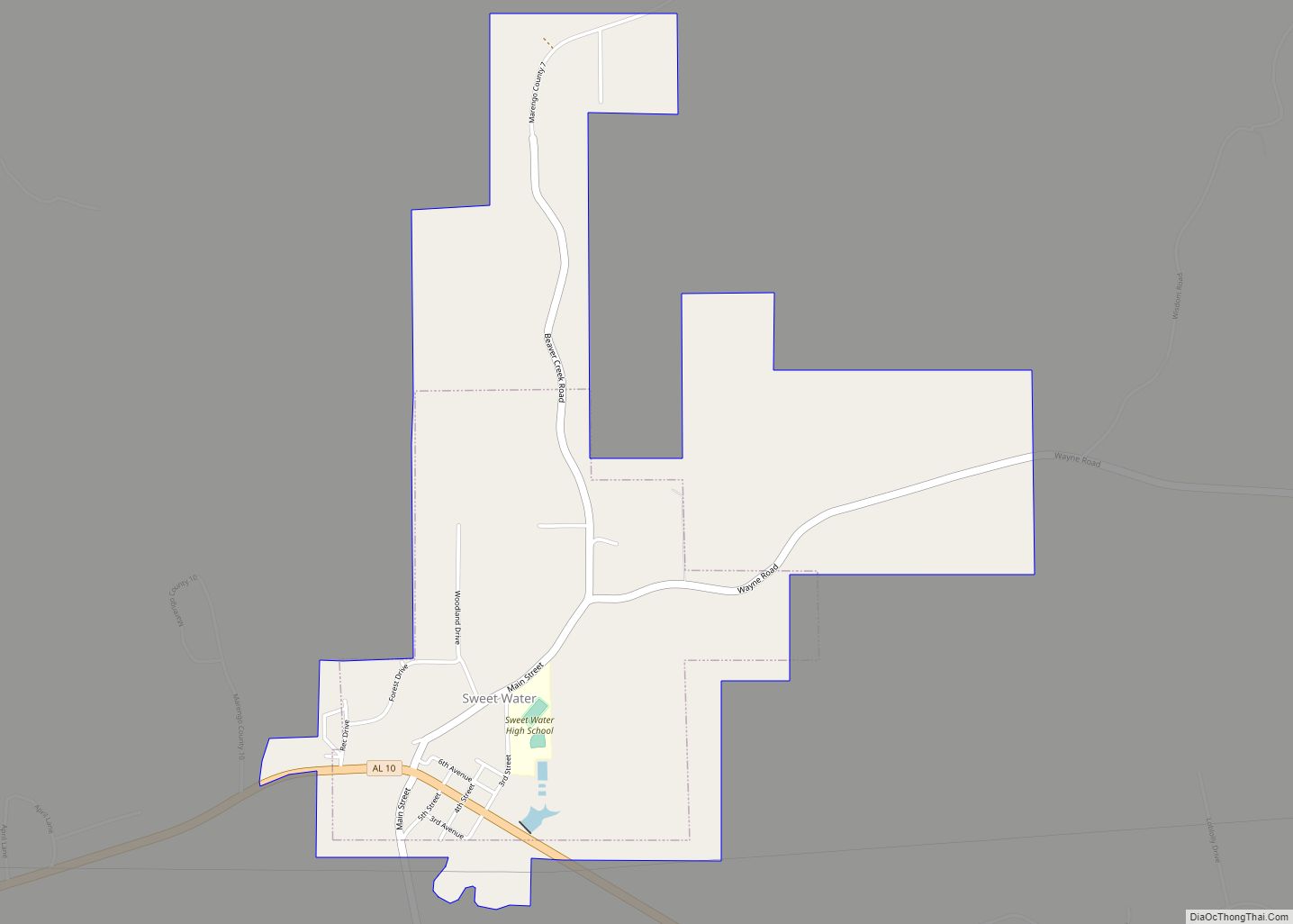
Online Interactive Map
Click on ![]() to view map in "full screen" mode.
to view map in "full screen" mode.
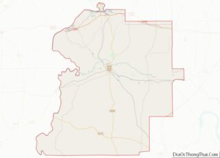
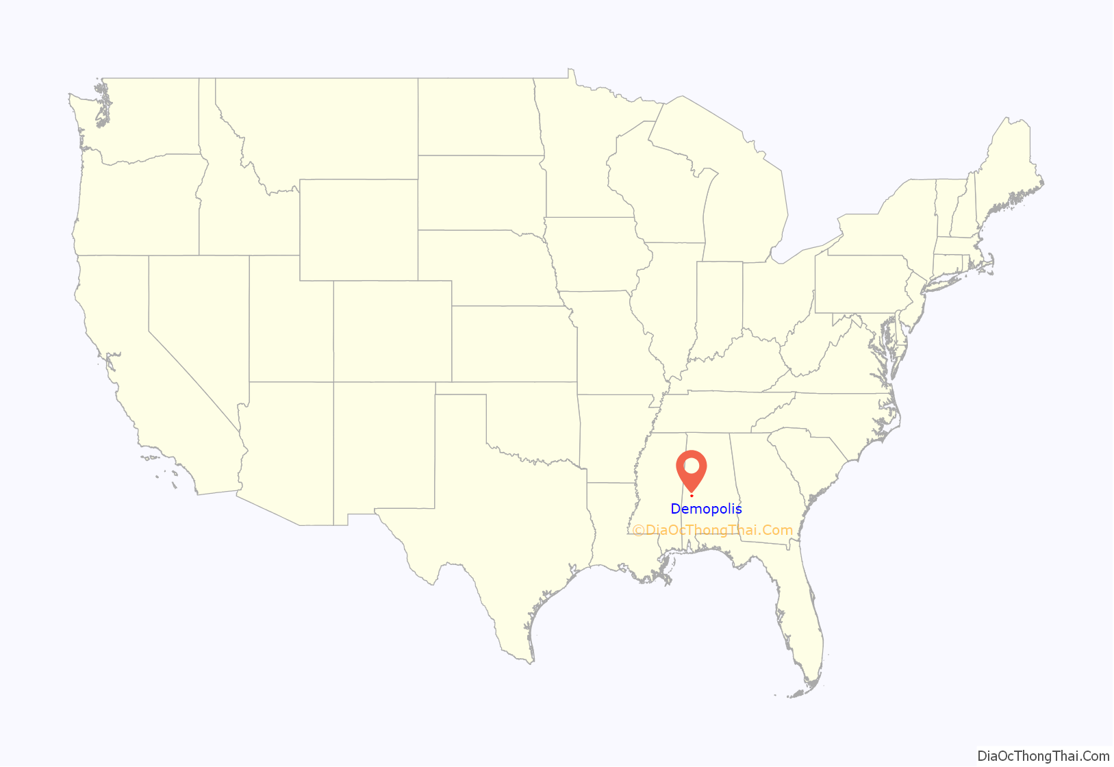
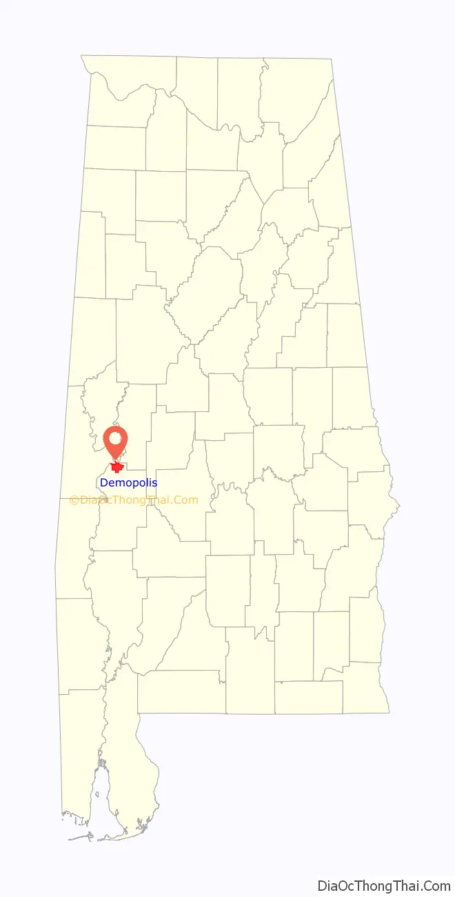
Demopolis location map. Where is Demopolis city?
History
Colonization
Organizing first in Philadelphia, French expatriates petitioned the U.S. Congress to sell them property for land to colonize. Congress granted approval by an act on March 3, 1817, that allowed them to buy four townships in the Alabama Territory at $2 per acre, with the provision that they cultivate grape vines and olive trees. Following advice obtained from experienced pioneers, they determined that Alabama would provide a good climate for cultivating these crops. By July 14, 1817, a small party of pioneers had settled at White Bluff on the Tombigbee River, at the present site of Demopolis, founding the Vine and Olive Colony.
Among the wealthiest and most prominent of the group was Count Lefebvre Desnouettes, who had been a cavalry officer under Napoleon, with the rank of lieutenant-general. He had ridden in Napoleon’s carriage during his failed invasion of Russia. Other prominent figures among the immigrants included Lieutenant-General Baron Henri-Dominique Lallemand, Count Bertrand Clauzel, Joseph Lakanal, Simon Chaudron, Pasqual Luciani, Colonel Jean-Jerome Cluis, Jean-Marie Chapron, Colonel Nicholas Raoul, and Frederic Ravesies. Most of these expatriates had little interest in pioneer life and sold their shares in the colony, remaining in Philadelphia. By 1818, the colony consisted of only 69 settlers.
The party encountered a variety of adversities. Following a survey in August 1818, they learned that their new properties did not fall under the territories encompassed by the congressional approval, and the Vine and Olive Colony was soon forced to move. Their actual land grants began less than a mile to the east of their newly cleared land. After abandoning the settlement of Demopolis, they soon established two other towns, Aigleville and Arcola.
American settlement
Upon learning of the survey and that the French grants lay elsewhere, American settlers began to quickly purchase the property of the former French settlement, intending to develop it as a major river port on the Tombigbee. A land company, the White Bluff Association (later renamed as the Company of the Town of Demopolis), was formed in 1819 with the express purpose to purchase the land and lay off a town. George Strother Gaines was named as the company spokesman, and he bought the town site atop White Bluff as soon as it was offered for sale. Commissioners for the company were George Strother Gaines, James Childress, Walter Crenshaw, Count Charles Lefebvre Desnouettes, and Dr. Joseph B. Earle.
The commissioners were responsible for overseeing the site survey, lot sales, and the early operations of the town. The commissioners laid off the site into streets, blocks, and lots, with a block of roughly two acres divided into eight lots. Demopolis Town Square, encompassing one city block, was established in 1819. The first lots were sold beginning on April 22, 1819. When Count Desnouettes died in 1822, Allen Glover was appointed to replace him. As other commissioners retired, they were succeeded by David E. Moore, William H. Lyon, Thomas McGee, and George N. Stewart.
The streets were laid off using a grid plan, with the city of Philadelphia as a model. The original streets running north–south were named for trees, such as Ash, Cedar, Cherry, and Chestnut. Exceptions were made for Commissioners, Strawberry, and Market (now Main) streets. Several short north–south streets were also named for commissioners, such as Desnouettes, Earle, Glover, Griffin, and McGee. The east–west streets were named for national and local heroes, as well as commissioners, such as Childress, Fulton, Gaines, Lyon, Monroe, Washington, Franklin, Jefferson, and Jackson. Most streets were designed to be 66 feet (20 m) wide. A strip of land that remained public property, for the use of all, was the land adjoining the Tombigbee River. This extended from where Riverside Cemetery is today, to the southwest of the city proper, to the Upper Landing in the north, with Arch Street following the route along the top of the cliff. Only the portion of Arch Street adjacent to the cemetery remains intact.
Some flaws and limitations of the original town plan became apparent by the late 1820s and 1830s. The typical town lots, at 75 feet (23 m) wide and 150 feet (46 m) deep, were not conducive to construction of the stately homes desired by the more prosperous residents. Some grand mansions were completed by the late 1820s. One of the first was the brick 2+1⁄2-story Federal-style Allen Glover house at the foot of Capitol Street. It was one of the, if not the first, neoclassical structures to be built in Marengo County. Glover built Bluff Hall (1832) for his daughter, Sarah Serena, and son-in-law, Francis Strother Lyon.
The town plan was also lacking a clearly defined business district, resulting in commercial and residential buildings mixed together all over town. As development shifted, some areas became blighted because of less desirable uses. Some stores opened around the town square, however, and warehouses started to appear adjacent to the town’s three major river landings, Upper Landing, above the modern Demopolis Yacht Basin and Marina; Webb’s Landing at the western terminus of Washington Street; and Lower Landing to the west of Riverside Cemetery and the Whitfield Canal.
By the 1830s Demopolis had developed into a regional commercial river hub, attracting American and European-born craftsmen and merchants, including the Beysiegle, Breitling, Breton, Dupertuis, Foster, Hummell, Kirker, Knapp, Marx, Michael, Mulligan, Oberling, Rhodes, Rudisill, Rosenbaum, Schmidt, Shahan, Stallings, and Zaiser families. Numerous plantation owners also established townhouses in the community or on its outskirts, including the Allen, Ashe, Curtis, DuBose, Foscue, Glover, Griffin, Lane, Lyon, McAllister, Prout, Reese, Strudwick, Tayloe, Whitfield, and Vaughan families.
But Demopolis was not dominated by a homogeneous elite planter class, as happened in other towns of the region. During these years and in the future, the river trade also brought numerous people with a desire for raucous entertainment. This created a profitable and brisk trade for those operating taverns and did much to earn early Demopolis a reputation for decadence.
During the 1840s many of the streets laid out by the town fathers had yet to be opened to traffic. The town council focused attention on clearing the intended streets and opening them to traffic, making other street improvements, and building wooden sidewalks along major thoroughfares to lift pedestrians above the mud. The council also approved measures to protect trees in the common areas and streets.
Several town ordinances were enacted in 1842 to restrain the enslaved African-American population. They were prohibited from selling or purchasing any article or commodity from or to a slave without written permission from their master or overseer. No slave was allowed to purchase alcohol without written consent; if any slave were convicted of assault upon “any white man, negro, or mulatto”, the owner would be fined $50; any slave caught running “any horse, gelding, or mule” through town would be subject to fifteen lashes unless the owner paid a fine of $1; any slave caught driving any wagon or cart or driving a horse or mule on or across the sidewalks of the town would be subject to 10 lashes, unless the owner paid a fine of 50 cents.
The robust, frontier river town did not support the orderly organization of churches. A group of Methodist ministers who convened nearby in 1843 said that Demopolis was “wholly irreligious”. Mainline Protestant churches were slow to take root; no churches were built in Demopolis until 1840. Prior to that time, various denominations met in a log assembly house on the town square. It was torn down in 1844. A Baptist group was established in the 1820s but disbanded due to a lack of support. The Episcopalians established a congregation in 1834, but did not build Trinity Episcopal Church until 1850. A Presbyterian congregation was established in 1839 and completed its first church in 1843, a brick structure on the town square. The Methodist congregation was established in 1840 and completed its first building in 1843.
Present in Demopolis from the beginning, with the French Catholic immigrants, the Catholic congregation in town was listed in 1851 as a mission of Saint John the Baptist in Tuscaloosa. It was switched to being supported by a church in Selma in 1880. They met in a small frame church and private homes until 1905, when the current Saint Leo the Great was built.
The Jewish congregation, B’nai Jeshurun, was established in 1858, although the community had been present since the 1840s. B’nai Jeshurun was the fourth Jewish congregation established in Alabama. They initially met in homes and businesses until eventually building a Moorish Revival-style temple in 1893.
By the 1850s several palatial steamboats were visiting the town as a regular stop on the Mobile to Columbus, Mississippi, route along the Tombigbee. These included the Forest Monarch, Alice Vivian, and the ill-fated Eliza Battle. Several others were dedicated almost exclusively to Demopolis and the cotton trade, including the Allen Glover, Canebrake, Cherokee, Demopolis, Frank Lyon, Marengo, and the Mollie Glover. Major hotels during this same period included the Planter’s Hotel, later known as Madison House Hotel, and the River Hotel.
In 1853 a yellow fever epidemic struck the city. Some people were buried in an ill-defined two-acre cemetery to the north of town in the river bend. The Jewish Cemetery was established in 1878 to the east of town on Jefferson Street. The Glover Mausoleum had been completed on the banks of the Tombigbee in 1845, with the burial of many family members in and around it. Finally the city established its main burial ground, Riverside Cemetery, selling plots to the public in 1882.
A circular Gothic Revival-style amphitheater, complete with a crenelated roof-line, was completed in 1859 north of town in Webb’s Bend at the fairgrounds. The fairgrounds and its buildings covered approximately 20 acres (8.1 ha) and hosted a variety of events until the outbreak of the Civil War.
By 1860, the population within the town limits had grown to approximately 1,200 people. The town began to attract new entertainments, such as musical and dramatic performances, concert artists, lecturers, circuses, and carnivals.
Civil War and aftermath
Marengo County, with its large number of slaveholders, favored secession from the Union and the formation of the Confederate States of America. White residents of Demopolis shared these sentiments. Prominent secessionists included Nathan B. Whitfield, Francis S. Lyon, Goodman G. Griffin, Kimbrough C. DuBose, George B. Lyon, Dr. James D. Browder, and George E. Markham. But many other powerful men in town opposed secession, including Benjamin Glover Shields, William H. Lyon, Jr., William B. Jones, Pearson J. Glover, Gaius Whitfield, Alfred Hatch, Joel C. DuBose, Robert V. Montague, and Henry Augustine Tayloe. In the end, most men on both sides of the argument joined in the Confederate cause once secession was inevitable.
With the start of the Civil War, several Confederate companies recruited from the population of Demopolis and Marengo County. The 4th, 11th, 21st, 23rd, and 43rd Alabama Infantry Regiments, in addition to the 8th Alabama Cavalry, Company E of the Jeff Davis Legion, and Selden’s Battery, were all established by local men. During the course of the war, more of these men would be lost to disease, exhaustion, and malnutrition than to battle casualties, as happened in both armies.
The city, based on two navigable rivers and a railroad, was used as the base for a number of Confederate installations and offices. These included commissary and quartermaster offices and warehouses, engineers’ offices and workshops, a large ordnance depot, two large hospitals, and offices of the medical purveyor of the Department of Alabama, Mississippi, and East Louisiana. A huge military encampment was established at the fairgrounds in Webb’s Bend. Thousands of soldiers entered the town at a time, which had only one thousand inhabitants prior to the war. Residents struggled to provide and secure sufficient food and accommodations.
Many hundreds of the soldiers who died in the hospitals during the war were buried in a Confederate cemetery on the south end of Webb’s Bend. Today the site is underwater, following the damming of the river below Demopolis in the 20th century.
After the loss of its primary east–west railroad during the war, in 1862 the Confederate government completed the Alabama and Mississippi Rivers Railroad from Selma through Demopolis and to Meridian, Mississippi. The project had been in the works since the 1850s, but several miles between Demopolis and Uniontown had not been finished when war erupted. As the war raged in all directions around Demopolis in 1864, the city was subjected to a huge influx of war refugees. Nathan B. Whitfield noted in his journal that those from Mobile had taken every available vacant house, and others were crowded with local people, along with their descendants and relatives.
In March 1865 the people of Demopolis prepared to defend the town against Union threats, and fortified key positions. Three circular batteries, surrounded by earthworks, were constructed and other fortifications built across the southern reaches of town. With the impending fall of Selma in early April, during Wilson’s Raid, all of the railroad’s rolling stock was sent full of supplies westward through Demopolis and on to Meridian. A flotilla of eighteen Confederate gunboats and packet ships were relocated to the Tombigbee River at Demopolis around this same time. These included the CSS Nashville, CSS Morgan, CSS Baltic, the Southern Republic, Black Diamond, Admiral, Clipper, Farrand, Marengo and St. Nicholas.
With the surrender of the last of the Confederates, Demopolis found itself a much different city from what it had been prior to the war. At the end of May 1865, the townspeople learned that an occupying force of Federal soldiers, the 5th Minnesota Infantry, were en route to occupy the town. Once there, they occupied the former fairgrounds. Despite the usual unpleasantness associated with the occupation of many defeated Southern towns, two of the Minnesota commanders, Colonel William B. Gere and General Lucius Frederick Hubbard, apparently came to be well-liked by the townspeople. Despite some bright spots in relations, the Episcopal Church in the South was slow to give up on the notion of the Confederacy, resulting in the military governor of Alabama closing all Episcopal churches in the state, effective on September 20, 1865. Trinity Episcopal Church in Demopolis was put under Federal guard, and during this time the church mysteriously burned down. Blame was placed on the soldiers for intentionally burning it, but this has never been borne out by the facts. Aside from all of this, the more pressing matter was the devastated economy of the community and surrounding countryside, a problem that would continue through the Reconstruction era.
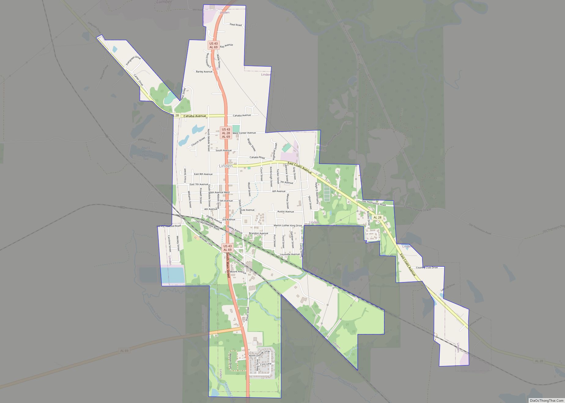
During Reconstruction, the new authorities in charge of the government decided to move the county seat of Marengo from its central location in Linden to Demopolis by an act approved on December 4, 1868. The county appointed Richard Jones Jr., Lewis B. McCarty, and Dr. Bryan W. Whitfield to build or buy a new courthouse in Demopolis. They negotiated the purchase of the Presbyterian church on the town square, now known as Rooster Hall, for the sum of $3,000. It was conveyed to the county on April 8, 1869. The county built a fireproof brick building next door to the former church in 1869–70 to house the probate and circuit clerk offices. This building serves as Demopolis City Hall today. The move of the county seat was highly controversial, and the Alabama Legislature set April 18, 1870, as the date for a county-wide referendum to decide if Dayton, Demopolis, or Linden would become the county seat. Due to the closeness of the vote and voting irregularities, a run-off between Linden and Demopolis was set for May 14, 1870. Irregularities appeared again and votes from Dayton, mostly in favor of Linden, were rejected by the board of supervisors. Linden continued an attempt to persuade the state legislature to move the county seat back to their town, with success in February 1871. The former courthouse buildings reverted from county ownership to Demopolis and remain city property today.
20th century
The struggle to rebuild the economy of Demopolis and the surrounding region continued into the 20th century. The growing, trading, and milling of cotton continued to be a major basis of the economy up until the World War I-era. The boll weevil infestations of the 1920s and the Great Depression of the 1930s finally ended the one-crop farming system.
Demopolis had electric lights, water works and a sewerage system, chert-covered streets, paved sidewalks, and a fire department by the second decade of the 20th century. It was increasingly serving as a major banking and retail hub in the region during this time. Major financial institutions included the Commercial National Bank, City Bank and Trust Company, and Robertson Banking Company. One of the first large department stores of note in the area, Mayer Brothers, built its three-story brick building across from the public square in 1897 and operated for most of the 20th century. That building is now utilized by Robertson Banking Company. The Rosenbush Furniture Company was established in 1895 and operated until 2002. The J. H. Spight Grocery was established in 1901 as one of the earliest and most successful grocery stores for more than 50 years, prior to the era of corporate chain stores. Although the community had many newspapers throughout its first 100 years, the only one to survive into the 21st century, The Demopolis Times, was established in 1904.
Theaters sprang up in the city, beginning in the late 19th century. Rooster Hall, following its incarnations as a church, courthouse, and then a city property, was leased for use as the Demopolis Opera House from 1876 to 1902. It hosted live dramatic performances, civic lectures, and minstrel shows. The Braswell Opera House, with its ornate interior and private box galleries, opened on October 23, 1902, with a performance of Louisiana playwright Epsy William’s Unorna, from Francis Marion Crawford’s The Witch of Prague. It continued as an entertainment venue into the 1920s and was eventually demolished in 1972–73. The first theater built for the presentation of motion pictures, the Elks Theater, opened on October 1, 1915. It was renamed the Si-Non in 1916. The building was restored during the 1990s.
Following the demise of cotton production, beef cattle farming and, more recently, catfish aquaculture became new major agricultural pursuits. Industrial activities became the major sources of employment by mid-century, with the cement, lumber, and paper industries playing a prominent role in the city’s economy into the 21st century.
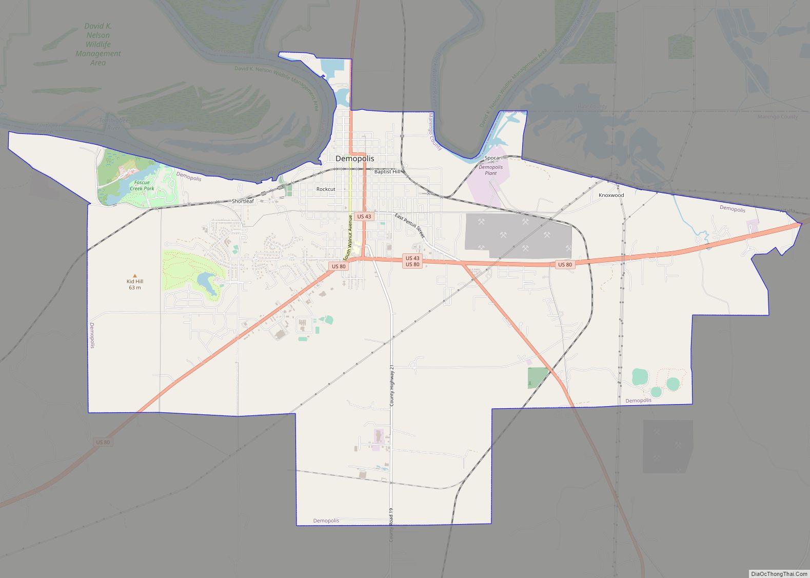
Demopolis Road Map

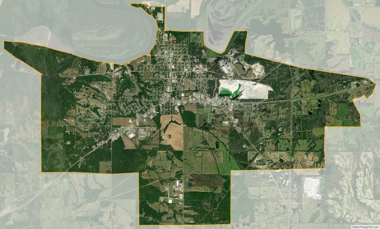
Demopolis city Satellite Map
Geography
Demopolis is on the northern edge of Marengo County, bordered to the north, across the Black Warrior River, by Greene County and to the northwest, across the Tombigbee River, by Sumter County. According to the U.S. Census Bureau, the city has a total area of 18.1 square miles (47 km), of which 17.74 square miles (45.9 km) are land and 0.32 square miles (0.8 km), or 1.78%, are water.
U.S. Route 43 passes through the city center as North Walnut Avenue, East Capitol Street, and South Cedar Avenue, while U.S. Route 80 runs along the southern edge of the downtown. US 43 leads north 24 miles (39 km) to Eutaw and south 17 miles (27 km) to Linden, while US 80 leads east 20 miles (32 km) to Uniontown and west 34 miles (55 km) to Cuba.
Climate
The climate in this area is characterized by hot, humid summers and generally mild to cool winters. According to the Köppen Climate Classification system, Demopolis has a humid subtropical climate, abbreviated “Cfa” on climate maps.
See also
Map of Alabama State and its subdivision:- Autauga
- Baldwin
- Barbour
- Bibb
- Blount
- Bullock
- Butler
- Calhoun
- Chambers
- Cherokee
- Chilton
- Choctaw
- Clarke
- Clay
- Cleburne
- Coffee
- Colbert
- Conecuh
- Coosa
- Covington
- Crenshaw
- Cullman
- Dale
- Dallas
- De Kalb
- Elmore
- Escambia
- Etowah
- Fayette
- Franklin
- Geneva
- Greene
- Hale
- Henry
- Houston
- Jackson
- Jefferson
- Lamar
- Lauderdale
- Lawrence
- Lee
- Limestone
- Lowndes
- Macon
- Madison
- Marengo
- Marion
- Marshall
- Mobile
- Monroe
- Montgomery
- Morgan
- Perry
- Pickens
- Pike
- Randolph
- Russell
- Saint Clair
- Shelby
- Sumter
- Talladega
- Tallapoosa
- Tuscaloosa
- Walker
- Washington
- Wilcox
- Winston
- Alabama
- Alaska
- Arizona
- Arkansas
- California
- Colorado
- Connecticut
- Delaware
- District of Columbia
- Florida
- Georgia
- Hawaii
- Idaho
- Illinois
- Indiana
- Iowa
- Kansas
- Kentucky
- Louisiana
- Maine
- Maryland
- Massachusetts
- Michigan
- Minnesota
- Mississippi
- Missouri
- Montana
- Nebraska
- Nevada
- New Hampshire
- New Jersey
- New Mexico
- New York
- North Carolina
- North Dakota
- Ohio
- Oklahoma
- Oregon
- Pennsylvania
- Rhode Island
- South Carolina
- South Dakota
- Tennessee
- Texas
- Utah
- Vermont
- Virginia
- Washington
- West Virginia
- Wisconsin
- Wyoming