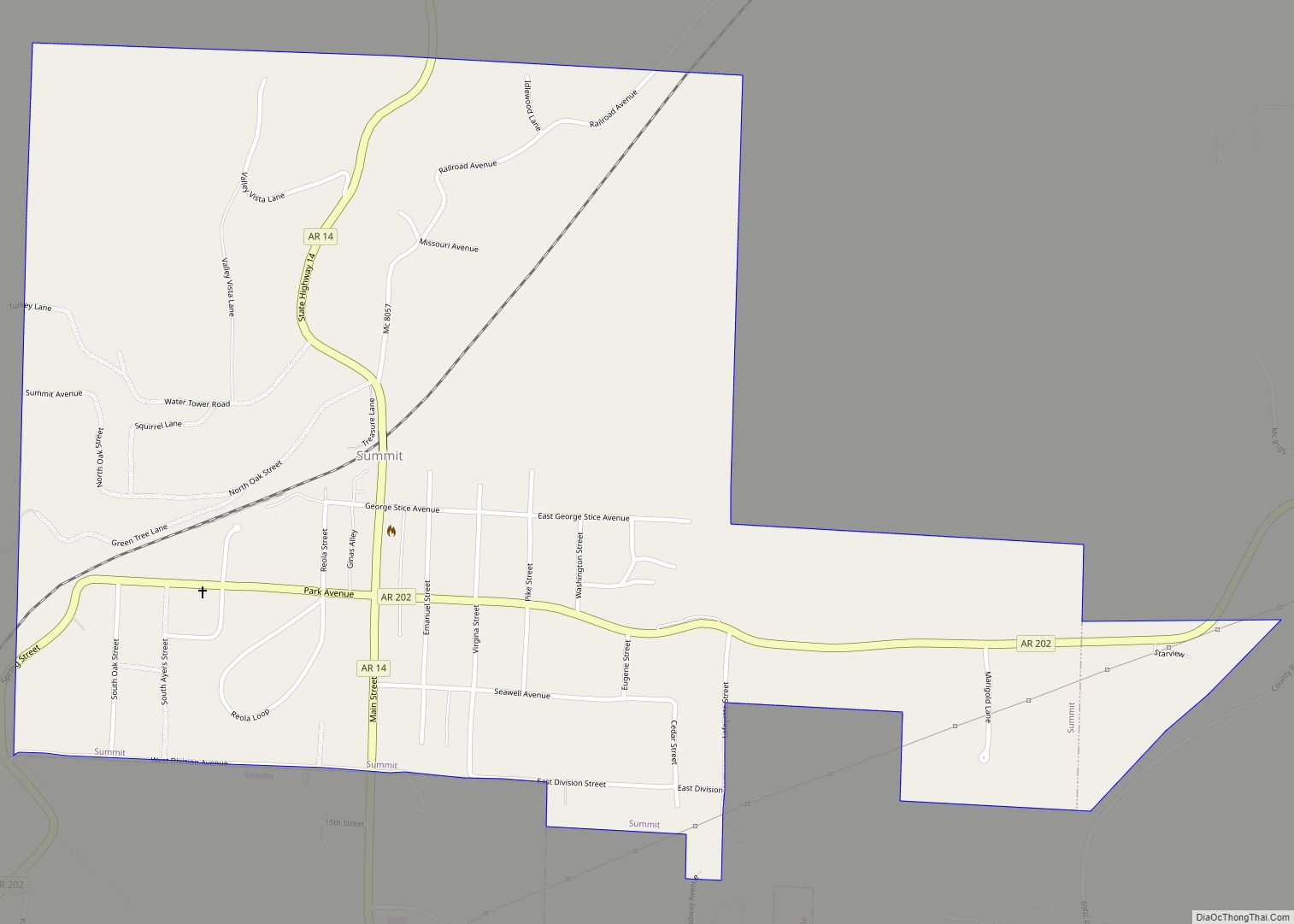
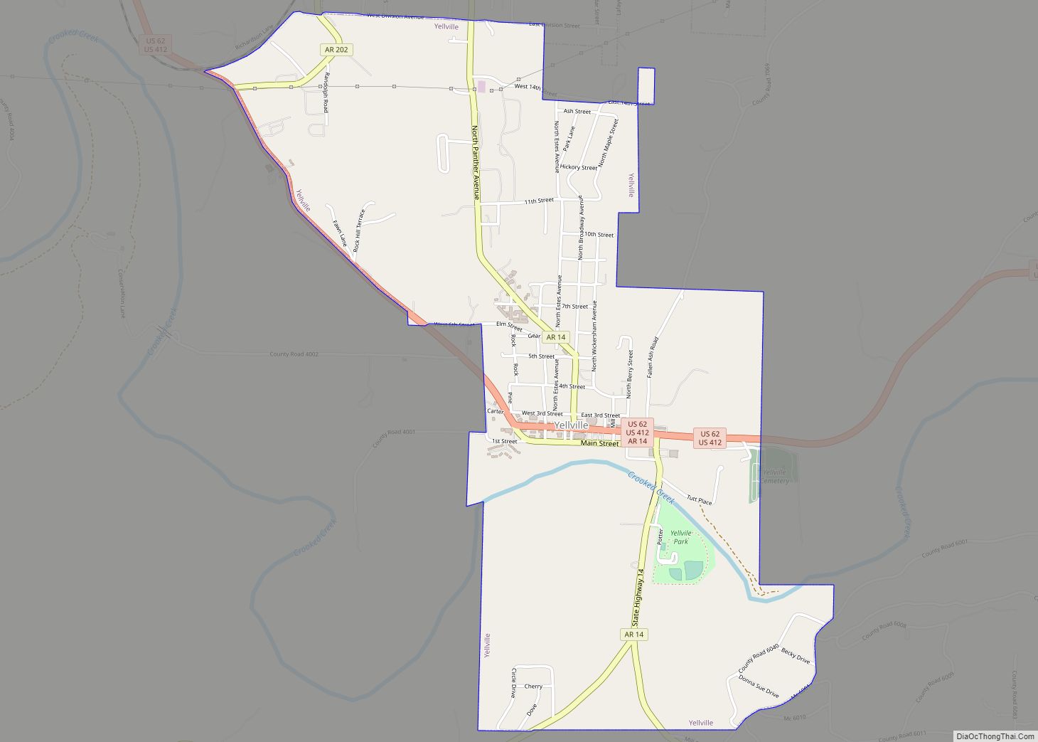
Yellville is a city and county seat in Marion County, Arkansas, United States. Yellville is located in the Ozark Mountains along the banks of Crooked Creek, and neighbors the small town of Summit to the north. The population was 1,178 at the 2020 census. The town’s original name is preserved in the Shawnee Town Branch, a local creek. The town also holds an annual Turkey Trot Festival.
| Name: | Yellville city |
|---|---|
| LSAD Code: | 25 |
| LSAD Description: | city (suffix) |
| State: | Arkansas |
| County: | Marion County |
| Elevation: | 627 ft (191 m) |
| Total Area: | 2.51 sq mi (6.49 km²) |
| Land Area: | 2.48 sq mi (6.43 km²) |
| Water Area: | 0.02 sq mi (0.06 km²) |
| Total Population: | 1,178 |
| Population Density: | 474.62/sq mi (183.25/km²) |
| ZIP code: | 72687 |
| Area code: | 870 |
| FIPS code: | 0577330 |
| GNISfeature ID: | 2405799 |
| Website: | www.yellvilleweb.com |
Online Interactive Map
Click on ![]() to view map in "full screen" mode.
to view map in "full screen" mode.
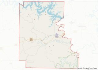
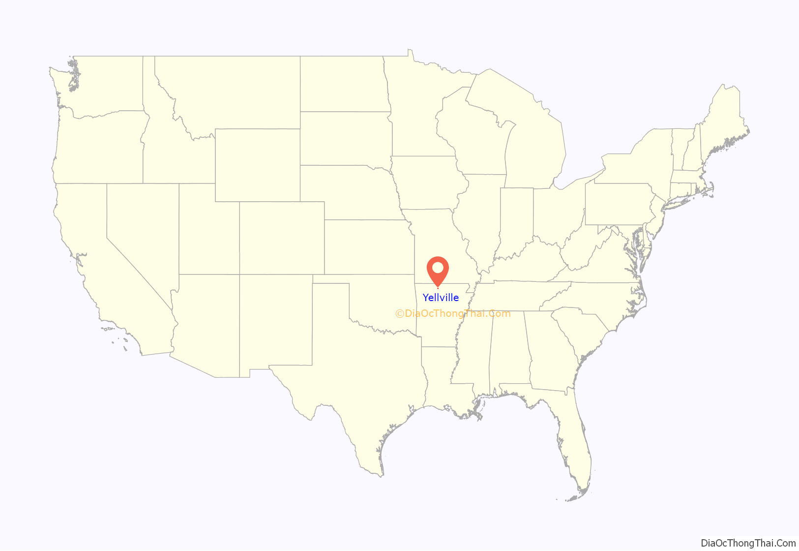
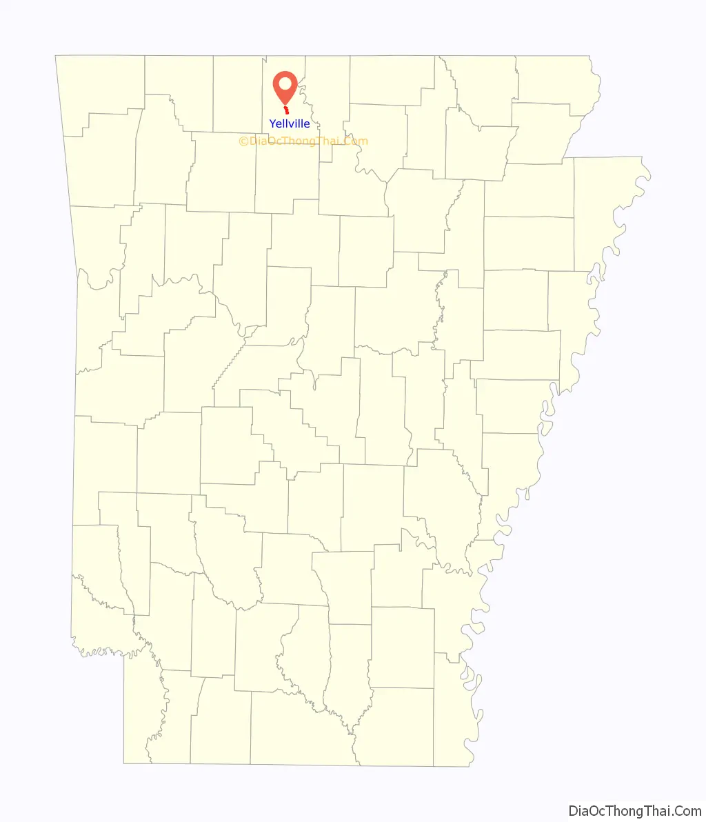
Yellville location map. Where is Yellville city?
History
Yellville is named after Archibald Yell, who was the first member of the United States House of Representatives from Arkansas and the second governor of Arkansas. He was killed at the Battle of Buena Vista during the Mexican–American War. Yellville existed well before Arkansas became a state, though originally known as “Shawneetown”.
Marion County was formed in 1836, shortly after statehood. Shawneetown was then renamed Yellville. An old tale claims Archibald Yell offered $50 to do so, but never paid the money. True or not, Governor Yell’s descendants heard the story and paid the overdue “bill” several years ago. Yell’s name can be seen elsewhere in the state, including Yell County and Archibald Yell Boulevard in Fayetteville. Several biographies of him have been written, the most recent published by the University of Arkansas Press in Fayetteville.
During the late 1840s, Yellville was the scene of several prolonged gunfights during the Tutt–Everett War. John A. Schnabel organized his Confederate cavalry battalion in the town in 1863.
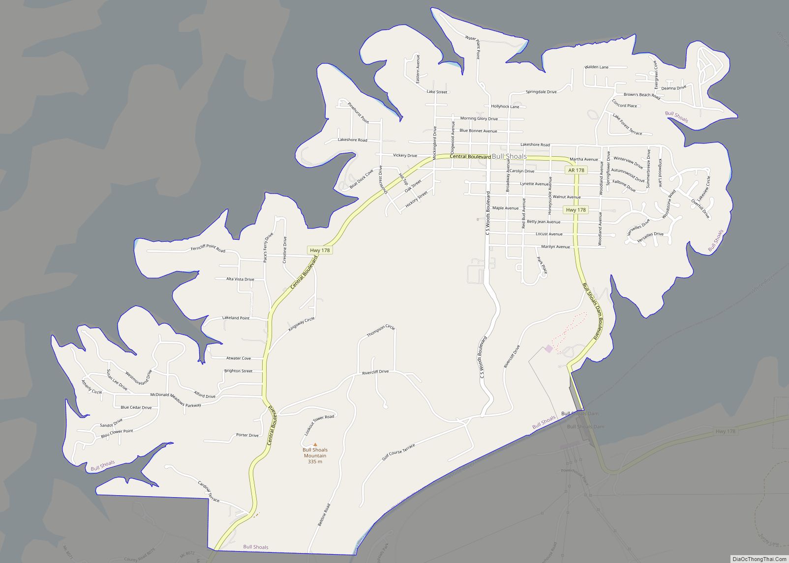
Yellville Road Map

Yellville city Satellite Map

Geography
Yellville is located in central Marion County. According to the United States Census Bureau, the city has a total area of 2.5 square miles (6.5 km), of which 0.02 square miles (0.05 km), or 0.96%, are water. It is bordered to the north by the small city of Summit. Mountain Home is 20 miles (32 km) to the northeast and Harrison is 28 miles (45 km) to the west via U.S. Routes 412/62.
Climate
Yellville, located in the Arkansas Ozarks, has a humid continental-subtropical climate, with cold-to-mild winters and hot, humid summers. Yellville’s record high temperature of 110 °F (43 °C) was observed on August 29, 1984, and July 30, 1986, while the record low of −20 °F (−29 °C) was observed on January 11, 1977.
See also
Map of Arkansas State and its subdivision:- Arkansas
- Ashley
- Baxter
- Benton
- Boone
- Bradley
- Calhoun
- Carroll
- Chicot
- Clark
- Clay
- Cleburne
- Cleveland
- Columbia
- Conway
- Craighead
- Crawford
- Crittenden
- Cross
- Dallas
- Desha
- Drew
- Faulkner
- Franklin
- Fulton
- Garland
- Grant
- Greene
- Hempstead
- Hot Spring
- Howard
- Independence
- Izard
- Jackson
- Jefferson
- Johnson
- Lafayette
- Lawrence
- Lee
- Lincoln
- Little River
- Logan
- Lonoke
- Madison
- Marion
- Miller
- Mississippi
- Monroe
- Montgomery
- Nevada
- Newton
- Ouachita
- Perry
- Phillips
- Pike
- Poinsett
- Polk
- Pope
- Prairie
- Pulaski
- Randolph
- Saint Francis
- Saline
- Scott
- Searcy
- Sebastian
- Sevier
- Sharp
- Stone
- Union
- Van Buren
- Washington
- White
- Woodruff
- Yell
- Alabama
- Alaska
- Arizona
- Arkansas
- California
- Colorado
- Connecticut
- Delaware
- District of Columbia
- Florida
- Georgia
- Hawaii
- Idaho
- Illinois
- Indiana
- Iowa
- Kansas
- Kentucky
- Louisiana
- Maine
- Maryland
- Massachusetts
- Michigan
- Minnesota
- Mississippi
- Missouri
- Montana
- Nebraska
- Nevada
- New Hampshire
- New Jersey
- New Mexico
- New York
- North Carolina
- North Dakota
- Ohio
- Oklahoma
- Oregon
- Pennsylvania
- Rhode Island
- South Carolina
- South Dakota
- Tennessee
- Texas
- Utah
- Vermont
- Virginia
- Washington
- West Virginia
- Wisconsin
- Wyoming