St. Joseph County, commonly called St. Joe County by residents, is a county located in the U.S. state of Indiana. As of the 2020 census, the population was 272,912, making it the fifth-most populous county in Indiana. Formed in 1830, it was named for the St. Joseph River which flows through it to Lake Michigan. The county seat is South Bend. St. Joseph County is part of the South Bend–Mishawaka, IN-MI, Metropolitan Statistical Area.
| Name: | St. Joseph County |
|---|---|
| FIPS code: | 18-141 |
| State: | Indiana |
| Founded: | 1830 |
| Named for: | St. Joseph River |
| Seat: | South Bend |
| Largest city: | South Bend |
| Total Area: | 461.38 sq mi (1,195.0 km²) |
| Land Area: | 457.85 sq mi (1,185.8 km²) |
| Population Density: | 580/sq mi (224/km²) |
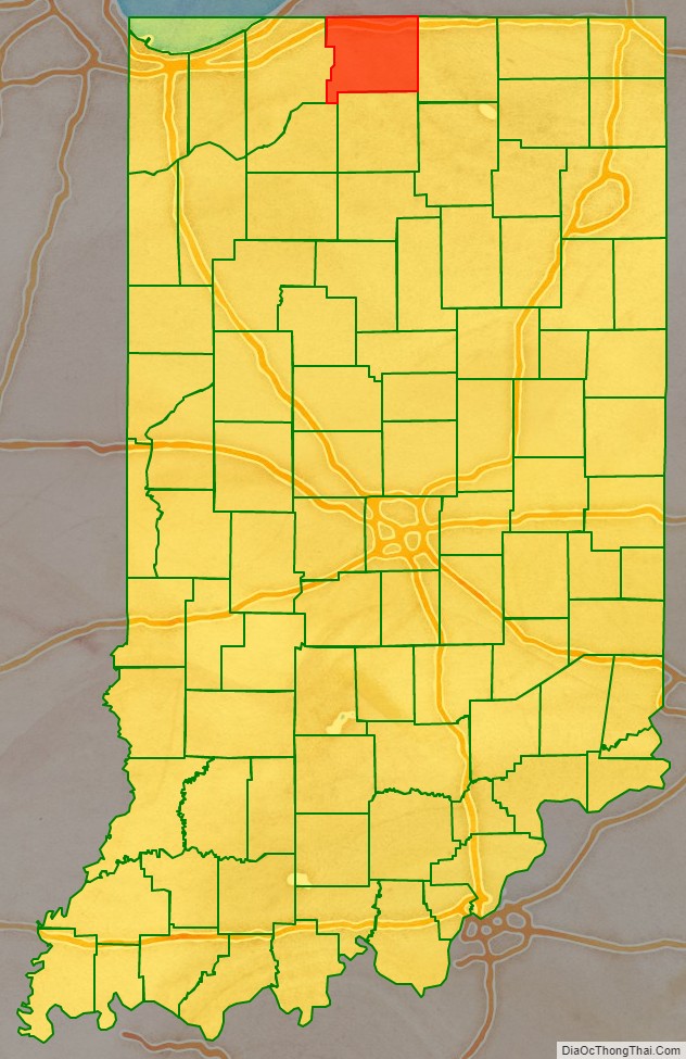
St. Joseph County location map. Where is St. Joseph County?
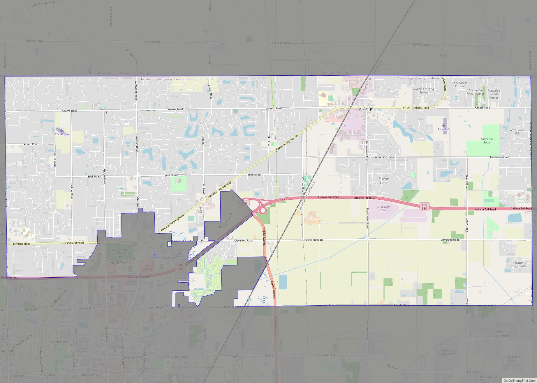
St. Joseph County Road Map
Geography
According to the 2010 census, the county has a total area of 461.38 square miles (1,195.0 km), of which 457.85 square miles (1,185.8 km) (or 99.23%) is land and 3.54 square miles (9.2 km) (or 0.77%) is water.
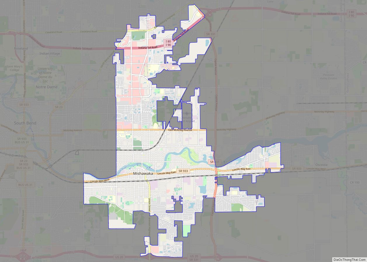
Cities
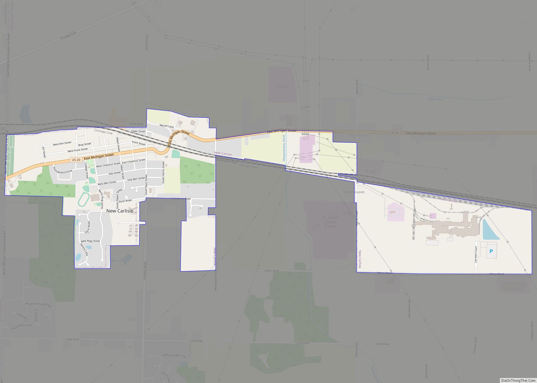
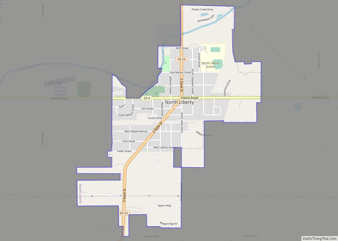
Towns
Census-designated places
Other unincorporated places
- Ardmore
- Chain-O-Lakes
- Colburn
- Crumstown
- Dreamwold Heights
- Georgetown
- Gilmer Park
- Gulivoire Park
- Hamilton
- Lydick
- Midway Corners
- Nutwood
- Olive
- Pleasant Valley
- State Line
- Tamarack Grange
- Terre Coupee
- Westfield
- Woodland
- Wyatt
- Zeigler
Townships
- Centre
- Clay
- German
- Greene
- Harris
- Liberty
- Lincoln
- Madison
- Olive
- Penn
- Portage
- Union
- Warren
Adjacent counties
- Berrien County, Michigan (north)
- Cass County, Michigan (northeast)
- Elkhart County (east)
- Marshall County (south)
- Starke County (southwest/CST Border)
- LaPorte County (west/CST Border)
Major highways
- I-80 / I-90 / Indiana Toll Road
- US 6
- US 20
- US 20 Bus.
- US 31
- US 31 Bus.
- SR 2
- SR 4
- SR 23
- SR 104
- SR 331
- SR 933
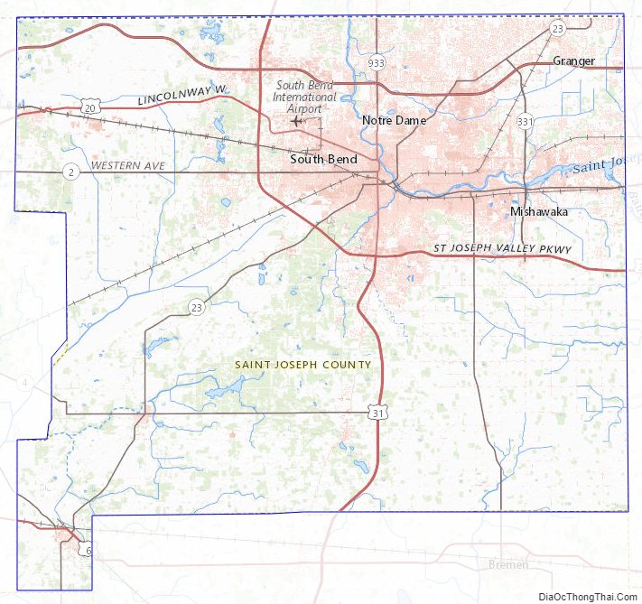
St. Joseph County Topographic Map
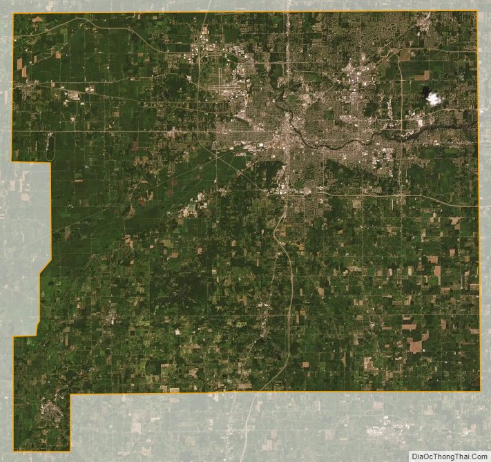
St. Joseph County Satellite Map
St. Joseph County Outline Map