Argos is a town in Green and Walnut townships, Marshall County, Indiana, United States. The population was 1,777 at the 2020 census.
| Name: | Argos town |
|---|---|
| LSAD Code: | 43 |
| LSAD Description: | town (suffix) |
| State: | Indiana |
| County: | Marshall County |
| Elevation: | 728 ft (222 m) |
| Total Area: | 1.30 sq mi (3.36 km²) |
| Land Area: | 1.29 sq mi (3.33 km²) |
| Water Area: | 0.01 sq mi (0.03 km²) |
| Total Population: | 1,777 |
| Population Density: | 1,381.80/sq mi (533.68/km²) |
| ZIP code: | 46501 |
| Area code: | 574 |
| FIPS code: | 1802044 |
| Website: | townofargos.com |
Online Interactive Map
Click on ![]() to view map in "full screen" mode.
to view map in "full screen" mode.
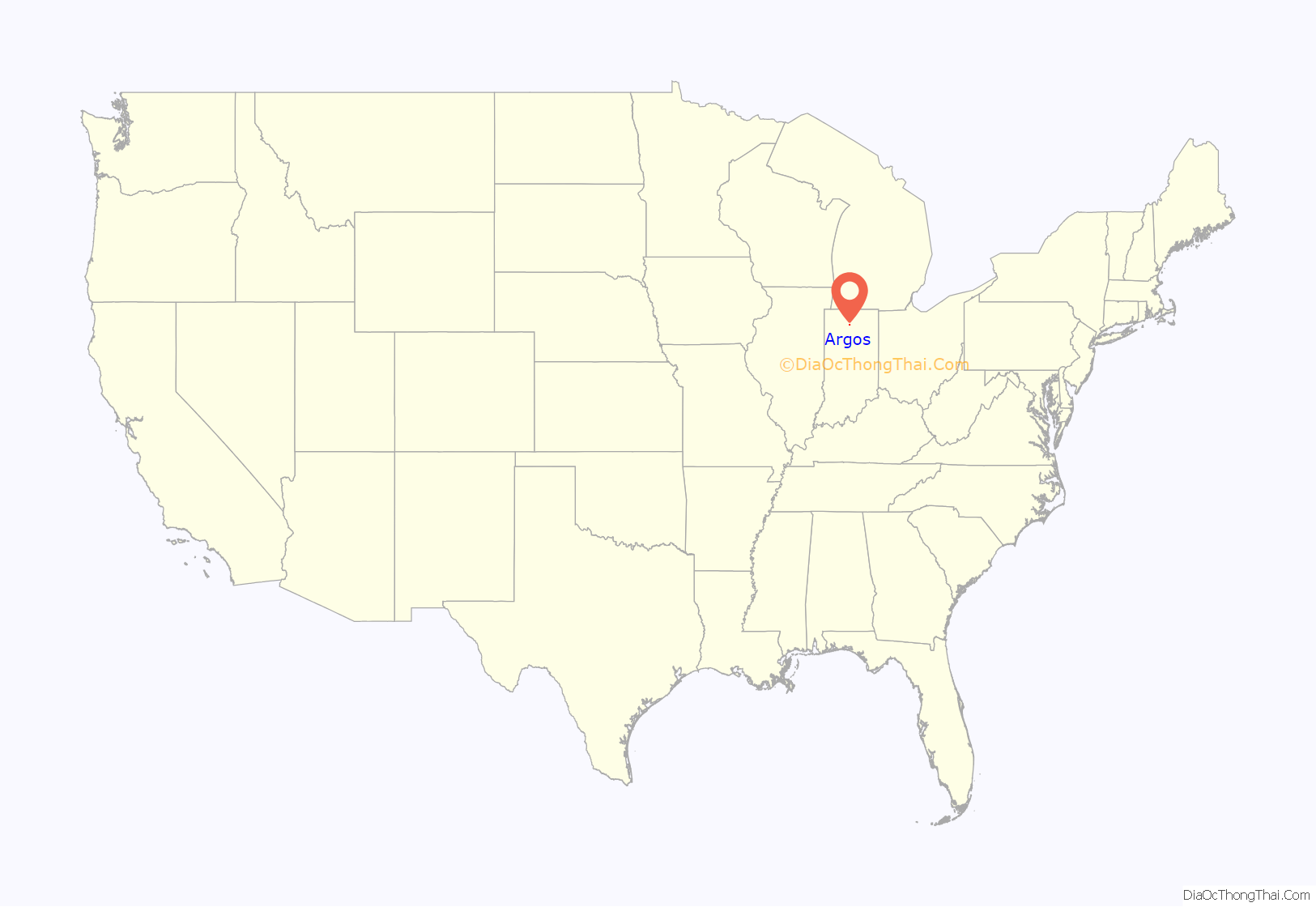
Argos location map. Where is Argos town?
History
In 1833, Sidney Williams arrived in the area which is now Marshall County and purchased 600 acres (2.4 km) of land on the present day site of Argos. Mr. Williams built a tavern, an inn, and helped build a section of Michigan Road. Mr. Williams sold his land to Clark Bliven, the man who built the courthouse on the Williams’s land. This local place of rest wasn’t considered a town until some time later. On January 8, 1851, John Pleak and Marquis L. Smith, laid out the town of Sidney, which is the predecessor to Argos. The town of Sidney was named in honor of Sidney Williams. On November 6, 1856, the town of Fremont, adjoining Sidney, was laid out by Joseph H. Rhodes. Fremont was named after Col. John C. Fremont, who on November 6, 1856, won the Republican candidate for president. On May 21, 1859, a meeting was held for anyone who was interested in the formation of a new township was held in the school house. The purpose of the meeting was to select a name for the township and appointing a suitable person to be the trustee. The names that were offered up for vote were Argos, Noble, and Richland. Noble was withdrawn. The vote total was Argos 12, Richland 8. The commissioners ordered the Township to be called Walnut Township due to the abundance of walnut trees in the area. John A. Rhodes and Charles Brown were proposed for trustee. Rhodes won by a vote of 18 to 4.
In 1854, the post office was removed from Sidney through political manipulations. Schuyler Colfax, the congressman in the district was asked to name the post office. He had a great interest in Greek history which led him to name the post office Argos, after the ancient Greek city made famous in the Iliad of Homer. Argos was the name that was kept when Sidney and Fremont were consolidated in 1859. The town of Argos was incorporated in the state law in December 1869.
The Argos Downtown Historic District was listed on the National Register of Historic Places in 2001.
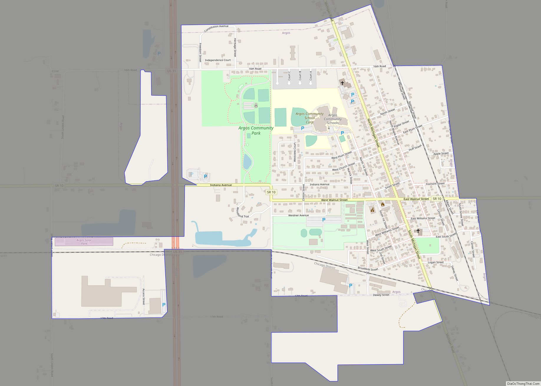
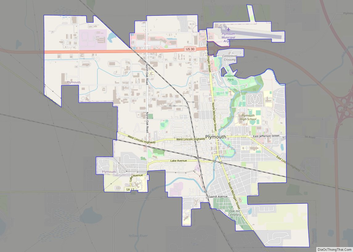
Argos Road Map
Argos city Satellite Map
Geography
Argos is located at 41°14′16″N 86°14′46″W / 41.23778°N 86.24611°W / 41.23778; -86.24611 (41.237732, -86.245976).
According to the 2010 census, Argos has a total area of 1.17 square miles (3.03 km), of which 1.16 square miles (3.00 km) (or 99.15%) is land and 0.01 square miles (0.03 km) (or 0.85%) is water.
See also
Map of Indiana State and its subdivision:- Adams
- Allen
- Bartholomew
- Benton
- Blackford
- Boone
- Brown
- Carroll
- Cass
- Clark
- Clay
- Clinton
- Crawford
- Daviess
- De Kalb
- Dearborn
- Decatur
- Delaware
- Dubois
- Elkhart
- Fayette
- Floyd
- Fountain
- Franklin
- Fulton
- Gibson
- Grant
- Greene
- Hamilton
- Hancock
- Harrison
- Hendricks
- Henry
- Howard
- Huntington
- Jackson
- Jasper
- Jay
- Jefferson
- Jennings
- Johnson
- Knox
- Kosciusko
- LaGrange
- Lake
- Lake Michigan
- LaPorte
- Lawrence
- Madison
- Marion
- Marshall
- Martin
- Miami
- Monroe
- Montgomery
- Morgan
- Newton
- Noble
- Ohio
- Orange
- Owen
- Parke
- Perry
- Pike
- Porter
- Posey
- Pulaski
- Putnam
- Randolph
- Ripley
- Rush
- Saint Joseph
- Scott
- Shelby
- Spencer
- Starke
- Steuben
- Sullivan
- Switzerland
- Tippecanoe
- Tipton
- Union
- Vanderburgh
- Vermillion
- Vigo
- Wabash
- Warren
- Warrick
- Washington
- Wayne
- Wells
- White
- Whitley
- Alabama
- Alaska
- Arizona
- Arkansas
- California
- Colorado
- Connecticut
- Delaware
- District of Columbia
- Florida
- Georgia
- Hawaii
- Idaho
- Illinois
- Indiana
- Iowa
- Kansas
- Kentucky
- Louisiana
- Maine
- Maryland
- Massachusetts
- Michigan
- Minnesota
- Mississippi
- Missouri
- Montana
- Nebraska
- Nevada
- New Hampshire
- New Jersey
- New Mexico
- New York
- North Carolina
- North Dakota
- Ohio
- Oklahoma
- Oregon
- Pennsylvania
- Rhode Island
- South Carolina
- South Dakota
- Tennessee
- Texas
- Utah
- Vermont
- Virginia
- Washington
- West Virginia
- Wisconsin
- Wyoming
