Anawalt is a town in McDowell County, West Virginia, United States. At one time it was known as Jeanette. It is named in honor of James White Anawalt, who was then manager of Union Supply Company, a subsidiary of the United States Steel Company. The population was 186 at the 2020 census. Coal mining was the town’s chief industry.
| Name: | Anawalt town |
|---|---|
| LSAD Code: | 43 |
| LSAD Description: | town (suffix) |
| State: | West Virginia |
| County: | McDowell County |
| Elevation: | 1,706 ft (520 m) |
| Total Area: | 0.57 sq mi (1.49 km²) |
| Land Area: | 0.57 sq mi (1.49 km²) |
| Water Area: | 0.00 sq mi (0.00 km²) |
| Total Population: | 186 |
| Population Density: | 311.30/sq mi (120.12/km²) |
| ZIP code: | 24808 |
| Area code: | 304 |
| FIPS code: | 5401780 |
| GNISfeature ID: | 2390703 |
Online Interactive Map
Click on ![]() to view map in "full screen" mode.
to view map in "full screen" mode.
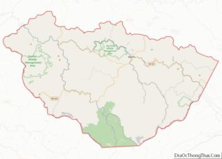
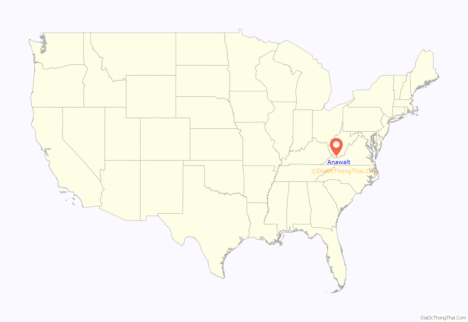
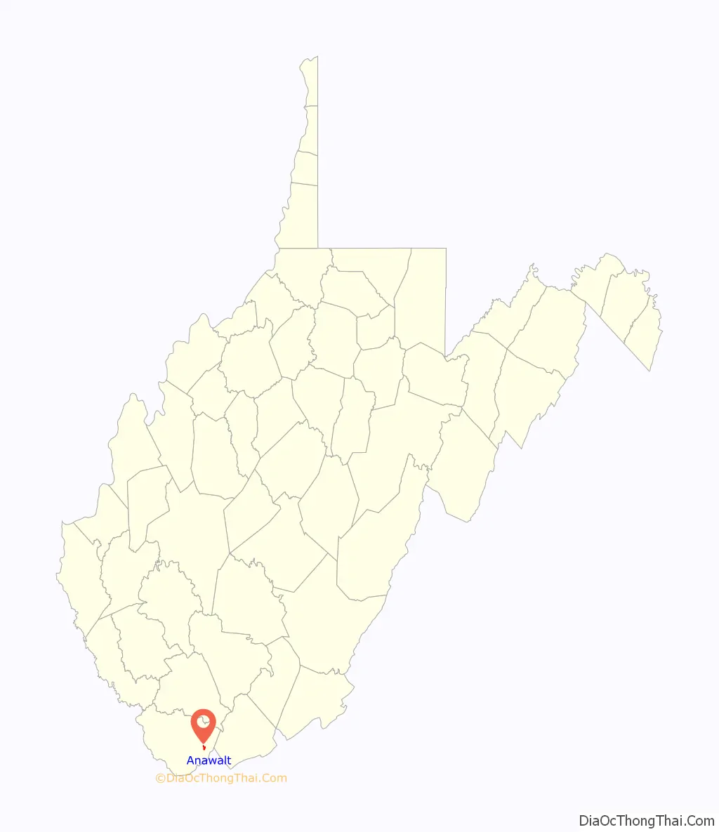
Anawalt location map. Where is Anawalt town?
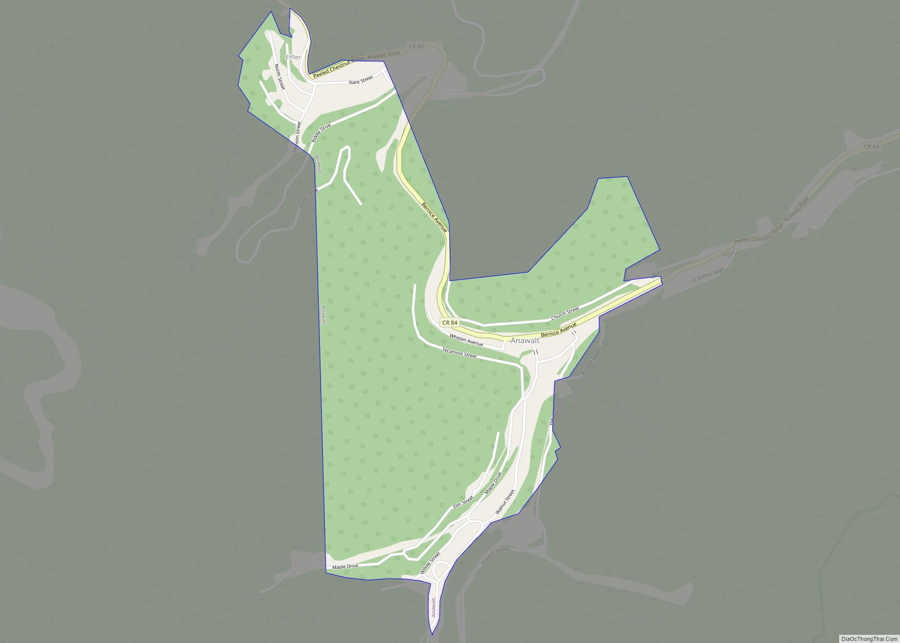
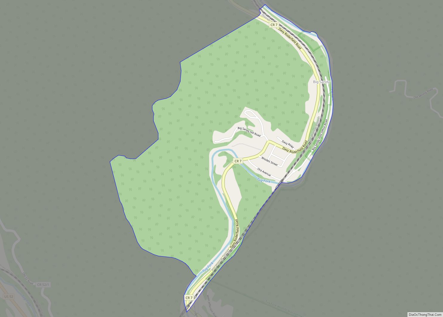
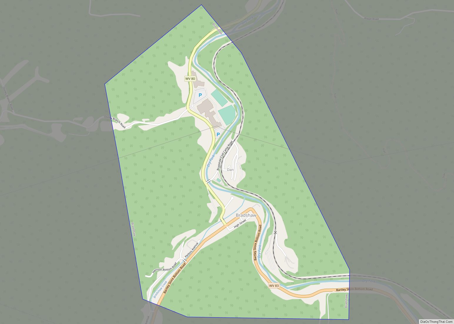
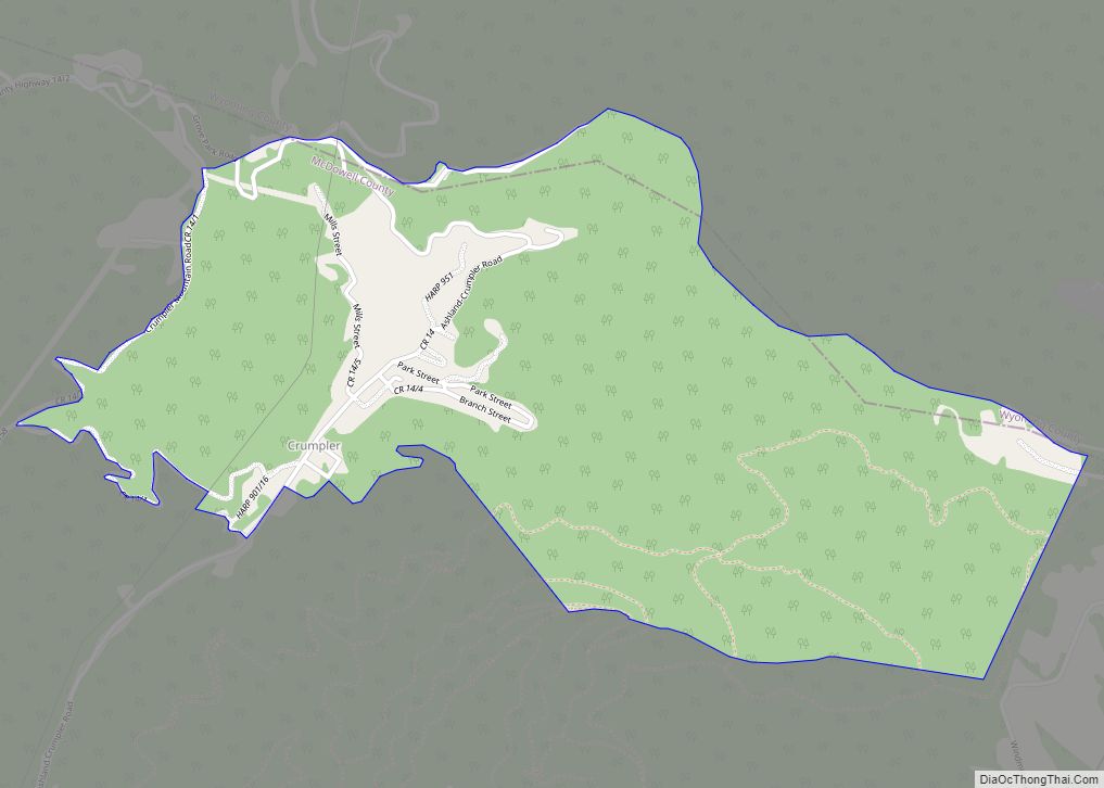
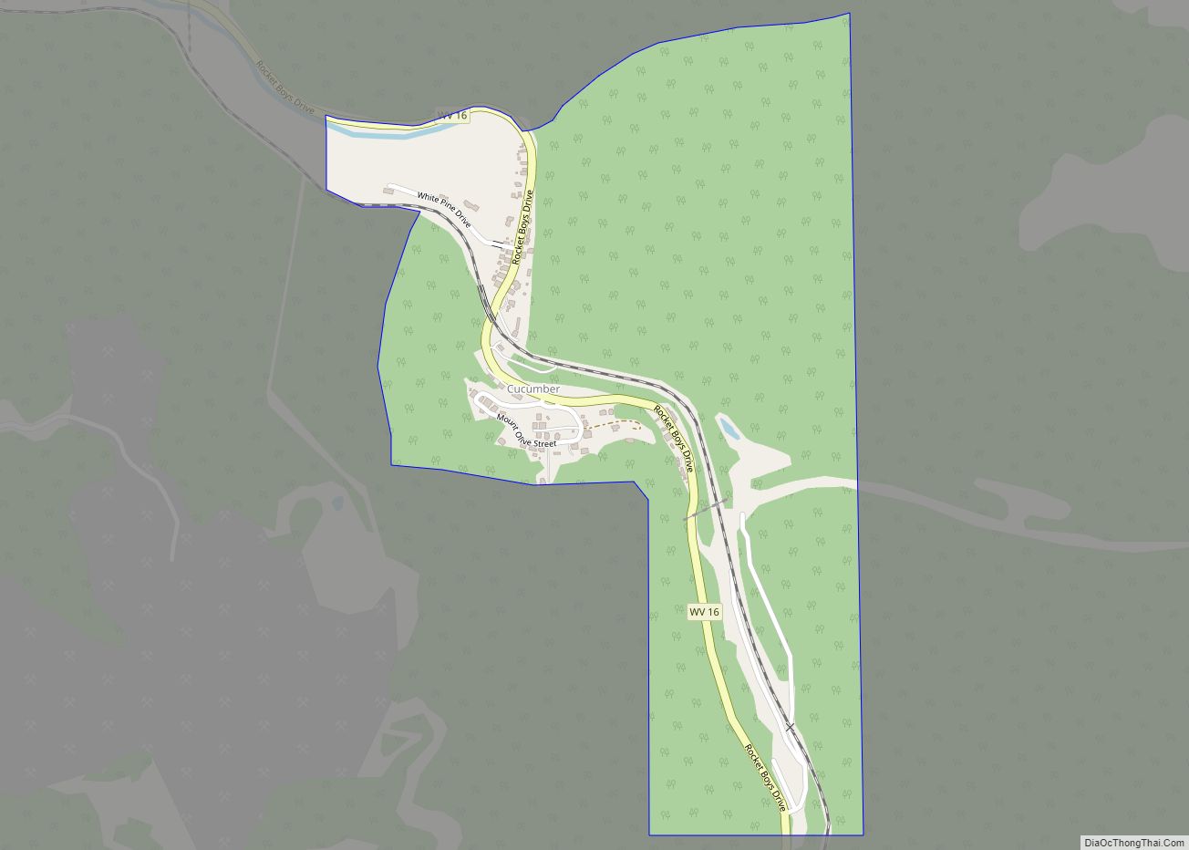
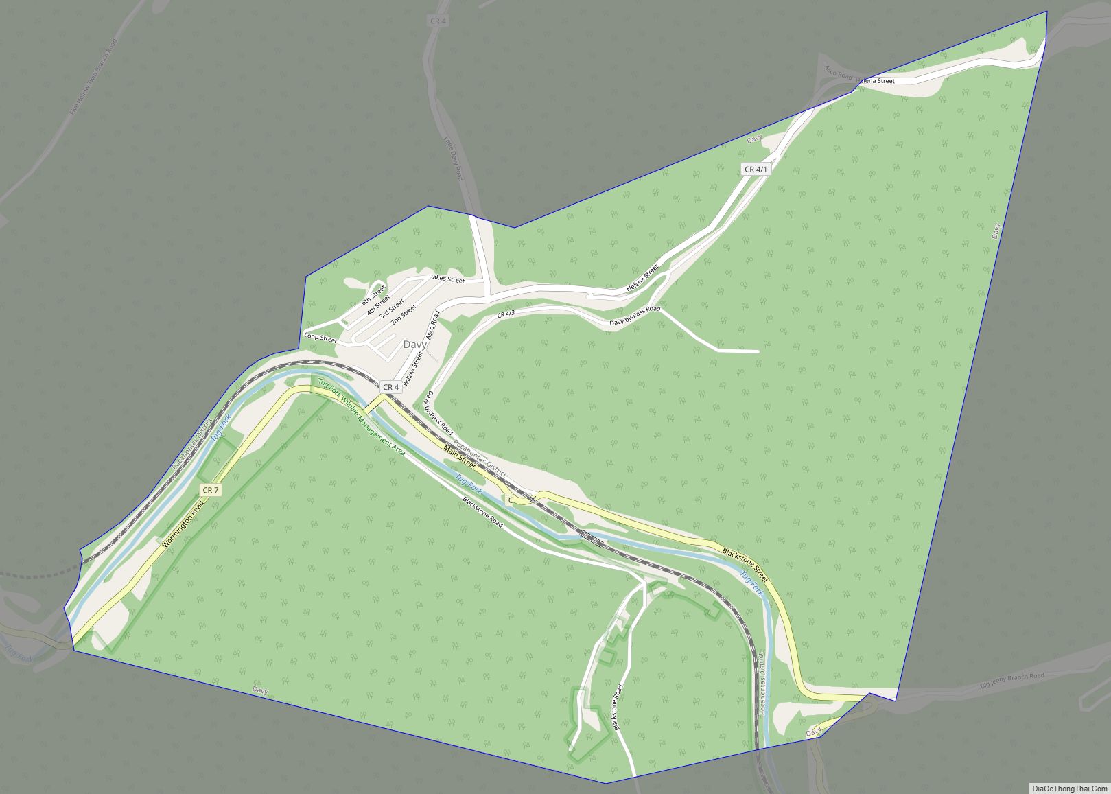
Anawalt Road Map

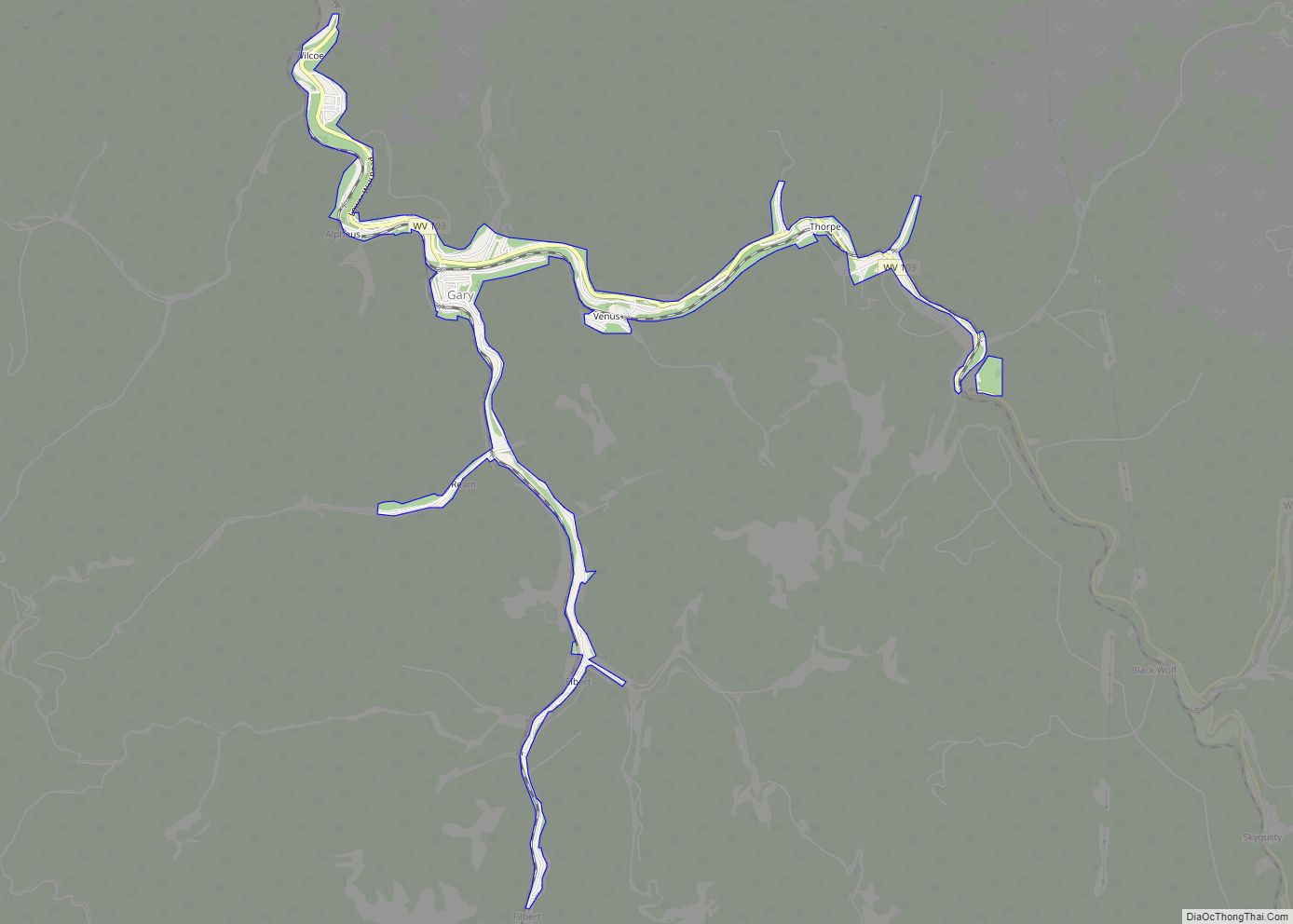
Anawalt city Satellite Map

Geography
According to the United States Census Bureau, the town has a total area of 0.57 square miles (1.48 km), all land.
See also
Map of West Virginia State and its subdivision:- Barbour
- Berkeley
- Boone
- Braxton
- Brooke
- Cabell
- Calhoun
- Clay
- Doddridge
- Fayette
- Gilmer
- Grant
- Greenbrier
- Hampshire
- Hancock
- Hardy
- Harrison
- Jackson
- Jefferson
- Kanawha
- Lewis
- Lincoln
- Logan
- Marion
- Marshall
- Mason
- McDowell
- Mercer
- Mineral
- Mingo
- Monongalia
- Monroe
- Morgan
- Nicholas
- Ohio
- Pendleton
- Pleasants
- Pocahontas
- Preston
- Putnam
- Raleigh
- Randolph
- Ritchie
- Roane
- Summers
- Taylor
- Tucker
- Tyler
- Upshur
- Wayne
- Webster
- Wetzel
- Wirt
- Wood
- Wyoming
- Alabama
- Alaska
- Arizona
- Arkansas
- California
- Colorado
- Connecticut
- Delaware
- District of Columbia
- Florida
- Georgia
- Hawaii
- Idaho
- Illinois
- Indiana
- Iowa
- Kansas
- Kentucky
- Louisiana
- Maine
- Maryland
- Massachusetts
- Michigan
- Minnesota
- Mississippi
- Missouri
- Montana
- Nebraska
- Nevada
- New Hampshire
- New Jersey
- New Mexico
- New York
- North Carolina
- North Dakota
- Ohio
- Oklahoma
- Oregon
- Pennsylvania
- Rhode Island
- South Carolina
- South Dakota
- Tennessee
- Texas
- Utah
- Vermont
- Virginia
- Washington
- West Virginia
- Wisconsin
- Wyoming