Morgantown is a city in and the county seat of Monongalia County, West Virginia, United States, situated along the Monongahela River. The largest city in North-Central West Virginia and the third-largest city in the state, Morgantown is best known as the home of West Virginia University. The population was 30,347 at the 2020 census. The city serves as the anchor of the Morgantown metropolitan area, which had a population of 138,176 in 2020.
| Name: | Morgantown city |
|---|---|
| LSAD Code: | 25 |
| LSAD Description: | city (suffix) |
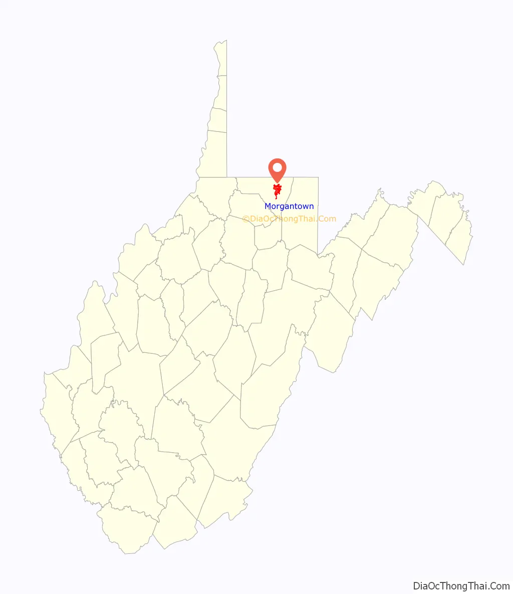
| State: | West Virginia |
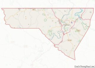
| County: | Monongalia County |
| Incorporated: | 1838 |
| Elevation: | 1,161 ft (354 m) |
| Land Area: | 10.19 sq mi (26.40 km²) |
| Water Area: | 0.45 sq mi (1.16 km²) 4.24% |
| Population Density: | 2,997.35/sq mi (1,157.25/km²) |
| ZIP code: | 26501, 26505, 26508 |
| Area code: | 304, 681 |
| FIPS code: | 5455756 |
| GNISfeature ID: | 1555161 |
| Website: | www.morgantownwv.gov |
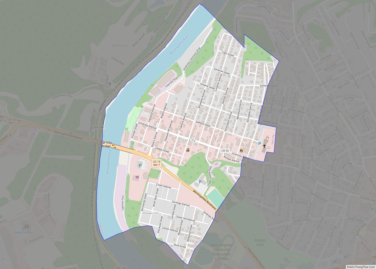
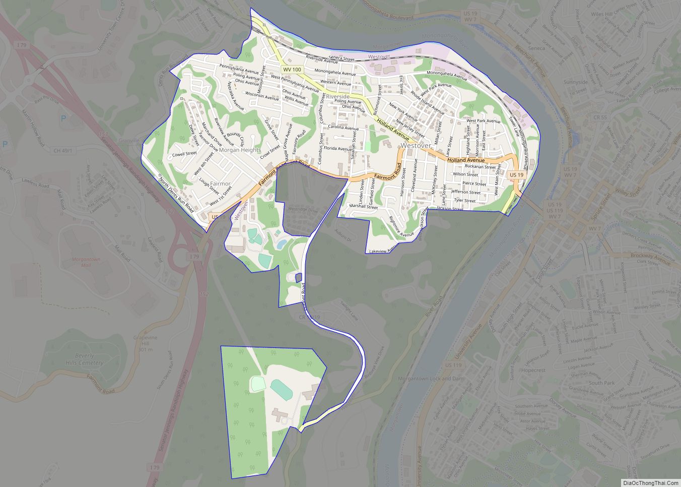
Online Interactive Map
Click on ![]() to view map in "full screen" mode.
to view map in "full screen" mode.
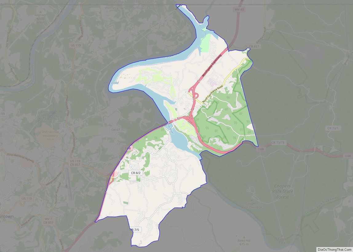
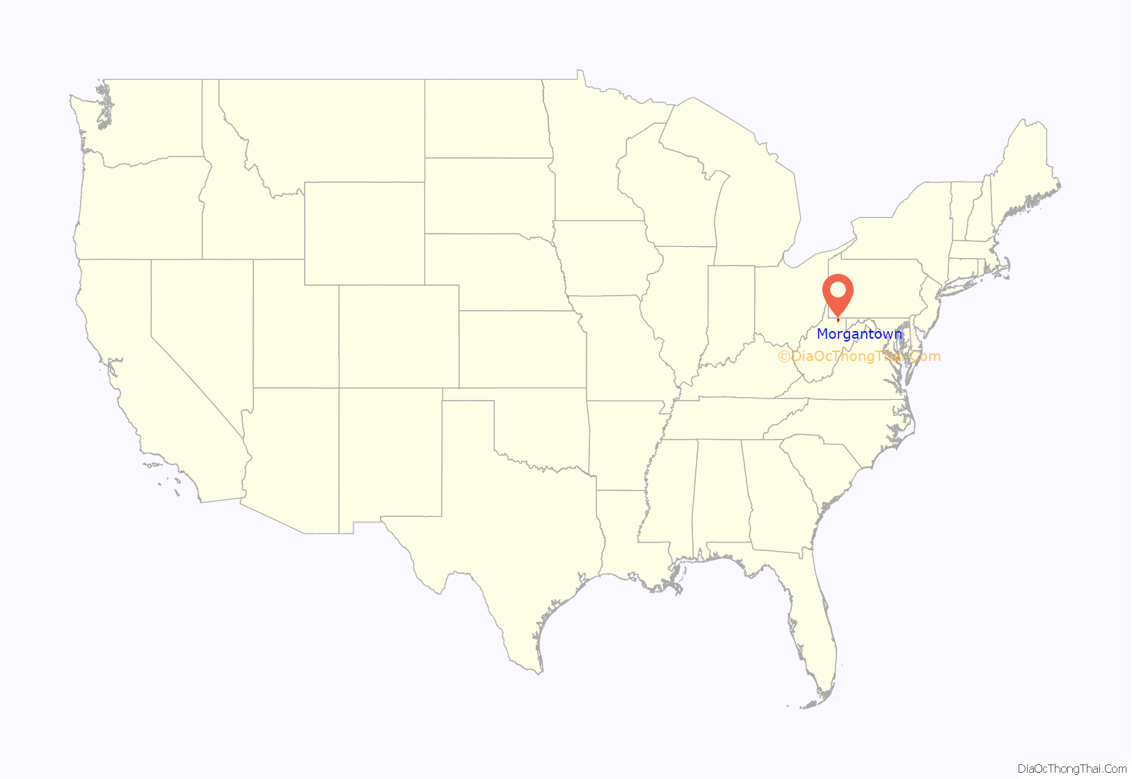
Morgantown location map. Where is Morgantown city?
History
Morgantown’s history is closely tied to the Anglo-French struggle for this territory. Until the Treaty of Paris in 1763, what is now known as Morgantown was greatly contested by white settlers and Native Americans, and by British and French soldiers. The treaty decided the issue in favor of the British, but Indian fighting continued almost to the beginning of the American Revolutionary War in 1775.
Zackquill Morgan and David Morgan, sons of Morgan Morgan, entered the area of Virginia that would become Morgantown around 1767, although others, such as Thomas Decker, were recorded as attempting to settle in the area a decade earlier. Zackquill and David lived here for a few years and eventually built Fort Morgan in present-day Downtown Morgantown in 1772. Several forts were built in the area during this time: Fort Pierpont near the Cheat River, in 1769; Fort Coburn, near Dorsey’s Knob, in 1770. Fort Morgan, at the present site of Morgantown, in 1772; Fort Dinwiddie, north several miles at Stewartstown, in 1772; Fort Martin, several miles north on the Monongahela River, in 1773; Fort Burris in the present-day Suncrest area of Morgantown, in 1774; and Fort Kern in the present-day Greenmont area of Morgantown, in 1774, in addition to other, smaller forts.
Zackquill Morgan settled the area about 1772 by establishing a homestead near present-day Fayette Street and University Avenue. Morgan fought in both the French and Indian War and the American Revolutionary War, rising to the rank of colonel. By 1783, following his wartime duties, Colonel Morgan commissioned Major William Haymond to survey his land and divide it into streets and lots. Colonel Morgan then received a legal certificate for 400 acres (1.6 km) in the area of his settlement near the mouth of Decker’s Creek. 50 acres (200,000 m) were appropriated for Morgan’s Town by the Virginia General Assembly in October 1785. On February 3, 1838, the Virginia General Assembly enacted a municipal charter incorporating the city, now with a population of about 700, as Morgantown, Virginia. The town became part of the newly created state of West Virginia on June 20, 1863, through the Reorganized Government of Virginia.
Notable early structures still standing in Morgantown, include the Old Stone House, built in 1795 by Jacob Nuce on Long Alley (the modern-day Chestnut Street) and the John Rogers family home on Foundry Street, built in 1840 and occupied as of 2011 by the Dering Funeral Home.
During the 1970s, the U.S. Department of Transportation built an experimental driverless personal rapid transit system in the city, citing the area’s variable seasonal climate and geographic elevations as factors in testing the technology’s viability. The Morgantown Personal Rapid Transit (PRT) has been in use since 1975. University students use the system for free travel between the campuses.
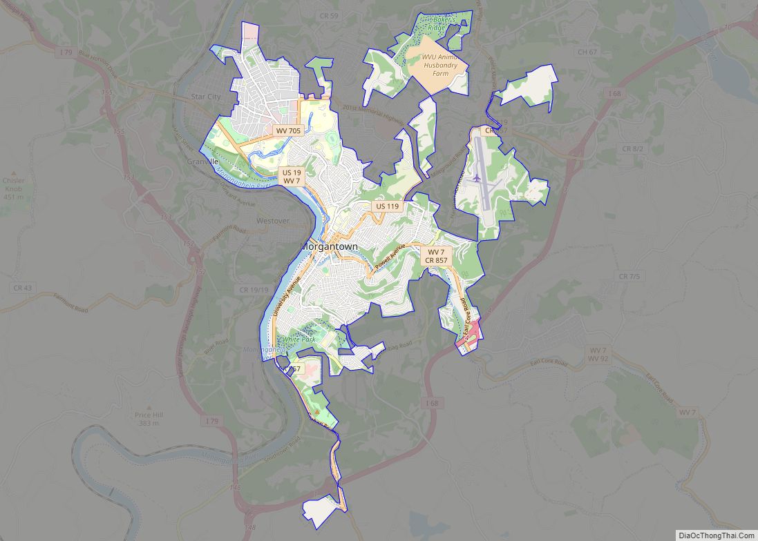
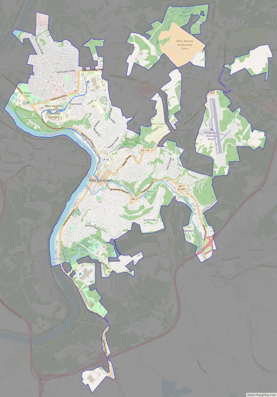
Morgantown Road Map
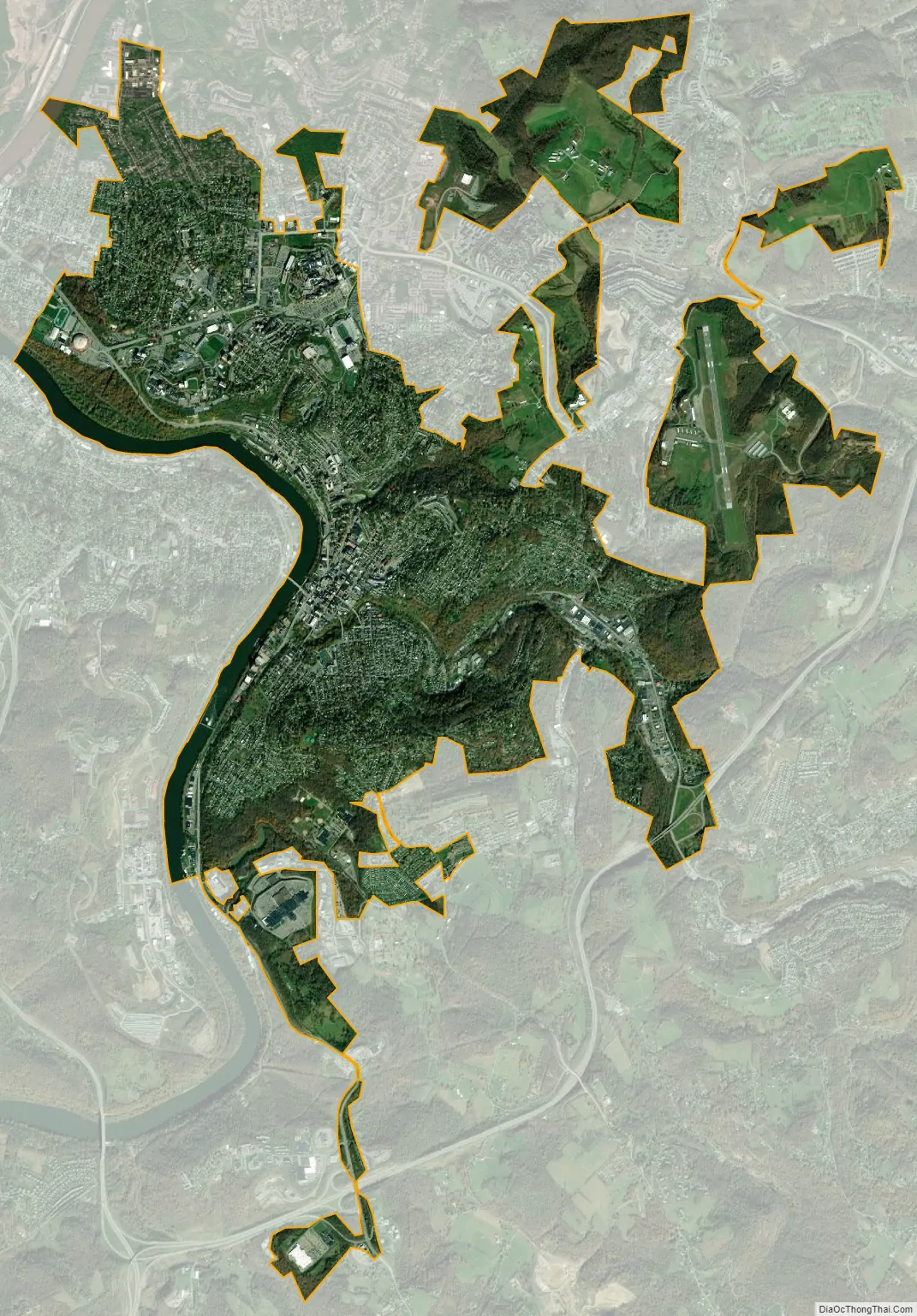
Morgantown city Satellite Map
Geography
Morgantown is 75 miles (121 km) south of Pittsburgh, Pennsylvania, 208 mi (335 km) north-northwest of Washington, D.C., 81 mi (130 km) east of Marietta, Ohio, and 156 mi (251 km) northeast of Charleston. Morgantown is just south of the Mason–Dixon line.
According to the United States Census Bureau, the city has a total area of 10.62 square miles (27.51 km), of which 10.17 square miles (26.34 km) is land and 0.45 square miles (1.17 km) is water.
Neighborhoods
Morgantown is made up of several neighborhoods, some of which had been independent towns that were annexed by the city as it continued to grow. Neighborhoods include First Ward, Woodburn, South Park, Jerome Park, South Hills, Second Ward, Greenmont, Suncrest, Evansdale, Wiles Hill, Sunnyside, Sabraton, the Mileground, and North Hills. While some of these, such as the Mileground, Easton, and Sabraton, are in part or entirely outside the city limits, they are still considered part of Morgantown. The City of Morgantown contained just over 30,000 permanent residents in 2020. The city is host to about 30,000 students at West Virginia University.
Sunnyside, just north of downtown Morgantown, is an older neighborhood adjacent to West Virginia University’s downtown campus. The neighborhood is bounded by University Avenue to the east and Campus Drive to the south. Close to the downtown campus of West Virginia University and for decades known as a neighborhood of student housing, is also the scene of many off-campus parties and post-game celebrations including, until 1995, the unsanctioned annual back-to-school block party that would annually draw upward of 10,000 revelers to celebrate the start of fall classes. The university and city put an end to the tradition that year after two students were shot the previous year. The City of Morgantown and West Virginia University jointly established the Sunnyside Up Project: Campus Neighborhoods Revitalization Corporation, dedicated to the redevelopment of this area. The first step was to create a comprehensive revitalization plan, which was published in fall 2004. The university’s Summit Hall Dormitory and the Honors Hall Dormitory are in the southern part of the neighborhood.
Woodburn used to be farmland on the hills to the east of downtown Morgantown. The area saw a rapid growth in population at the beginning of the 20th century as home to tinsmiths from Wales who came to work in the tinplate mill that later became the Sterling Faucet Company plant in Sabraton. A trolley line ran the length of Richwood Avenue and originally connected downtown with Sabraton. The Welsh community was active in the Methodist Church at the intersection of High Street and Willey Street, and held picnics in Whitemoore Park, the main green space in Woodburn. Many of these immigrants retained the Welsh language, and as late as the 1930s it was common to hear Welsh spoken on the streets of Woodburn and the community was known for carrying on a traditional eisteddfod every year.
Located in the southeastern part of Morgantown, Sabraton is a former coal town and was previously known as Sturgiss City and Sabraton Station. The community was named after Sabra Vance Sturgiss, the wife of a local judge. Part of Sabraton was home to a tin plate mill, which later become a manufacturing plant for Sterling Faucet. In its early days, Sabraton was connected to downtown Morgantown by a trolley line that ran the length of Richwood Avenue. Its amenities include Marilla Park.
Terrain
Morgantown lies in the Appalachian Region. The city is hilly with several sections rising over 1,200 feet (370 m) in elevation. The highest point is 1,398 feet (426 m) on Sky Rock in Dorsey Knob Park. The lowest point is on the banks of the Monongahela River at 800 feet (240 m). The area surrounding Morgantown is mountainous. Coopers Rock State Forest, 12 miles (19 km) east of Morgantown, has elevations between 2,000 feet (610 m) and 2,400 feet (730 m) above sea level.
Climate
Morgantown lies in the transition between a humid subtropical (Köppen Cfa) and humid continental climate (Köppen Dfa), with four distinct seasons. Winters are cool to cold with a January daily mean temperature of 32.0 °F (0.0 °C), an average annual snowfall of 27.6 inches (70 cm) and 1.3 nights of sub-0 °F (−18 °C) readings. Summers are hot and humid with a July daily mean temperature of 74.1 °F (23.4 °C) and 13.2 days of 90 °F (32 °C)+ highs annually. Precipitation is generous, with winter being the driest period and May through July the wettest. Extreme temperatures range from −25 °F (−32 °C) on February 10, 1899, up to 105 °F (41 °C) on August 26, 1893.
See also
Map of West Virginia State and its subdivision:- Barbour
- Berkeley
- Boone
- Braxton
- Brooke
- Cabell
- Calhoun
- Clay
- Doddridge
- Fayette
- Gilmer
- Grant
- Greenbrier
- Hampshire
- Hancock
- Hardy
- Harrison
- Jackson
- Jefferson
- Kanawha
- Lewis
- Lincoln
- Logan
- Marion
- Marshall
- Mason
- McDowell
- Mercer
- Mineral
- Mingo
- Monongalia
- Monroe
- Morgan
- Nicholas
- Ohio
- Pendleton
- Pleasants
- Pocahontas
- Preston
- Putnam
- Raleigh
- Randolph
- Ritchie
- Roane
- Summers
- Taylor
- Tucker
- Tyler
- Upshur
- Wayne
- Webster
- Wetzel
- Wirt
- Wood
- Wyoming
- Alabama
- Alaska
- Arizona
- Arkansas
- California
- Colorado
- Connecticut
- Delaware
- District of Columbia
- Florida
- Georgia
- Hawaii
- Idaho
- Illinois
- Indiana
- Iowa
- Kansas
- Kentucky
- Louisiana
- Maine
- Maryland
- Massachusetts
- Michigan
- Minnesota
- Mississippi
- Missouri
- Montana
- Nebraska
- Nevada
- New Hampshire
- New Jersey
- New Mexico
- New York
- North Carolina
- North Dakota
- Ohio
- Oklahoma
- Oregon
- Pennsylvania
- Rhode Island
- South Carolina
- South Dakota
- Tennessee
- Texas
- Utah
- Vermont
- Virginia
- Washington
- West Virginia
- Wisconsin
- Wyoming