Bernalillo (/ˌbɜːrnəˈliːjoʊ/) is a town in Sandoval County, New Mexico, United States. As of the 2010 census, the town population was 8,320. It is the county seat of Sandoval County.
Bernalillo is part of the Albuquerque Metropolitan Statistical Area.
| Name: | Bernalillo town |
|---|---|
| LSAD Code: | 43 |
| LSAD Description: | town (suffix) |
| State: | New Mexico |
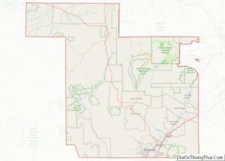
| County: | Sandoval County |
| Elevation: | 5,052 ft (1,540 m) |
| Total Area: | 5.33 sq mi (13.80 km²) |
| Land Area: | 5.29 sq mi (13.71 km²) |
| Water Area: | 0.04 sq mi (0.10 km²) |
| Total Population: | 8,977 |
| Population Density: | 1,696.33/sq mi (654.99/km²) |
| ZIP code: | 87004 |
| Area code: | 505 |
| FIPS code: | 3506970 |
| GNISfeature ID: | 0928691 |
Online Interactive Map
Click on ![]() to view map in "full screen" mode.
to view map in "full screen" mode.
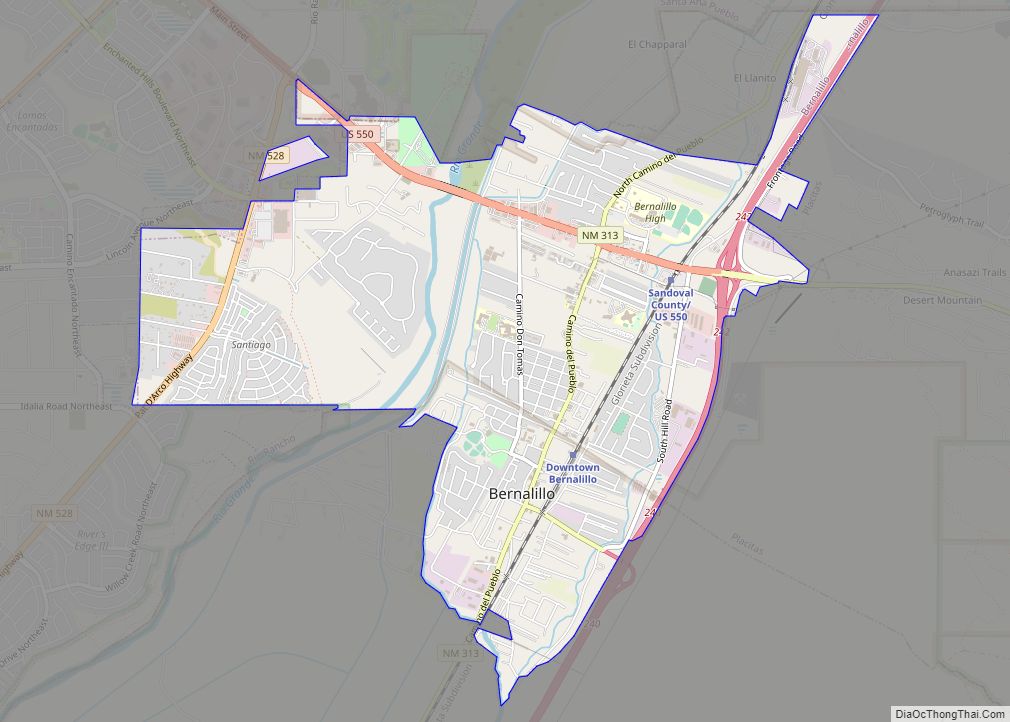
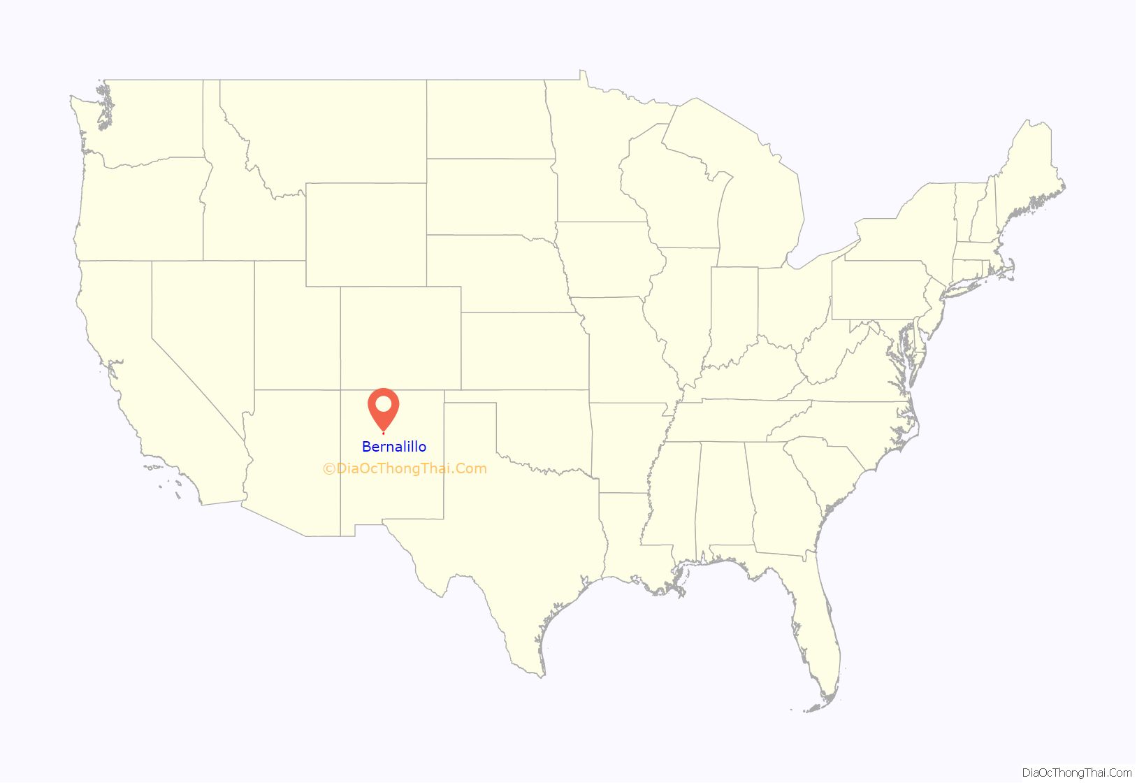
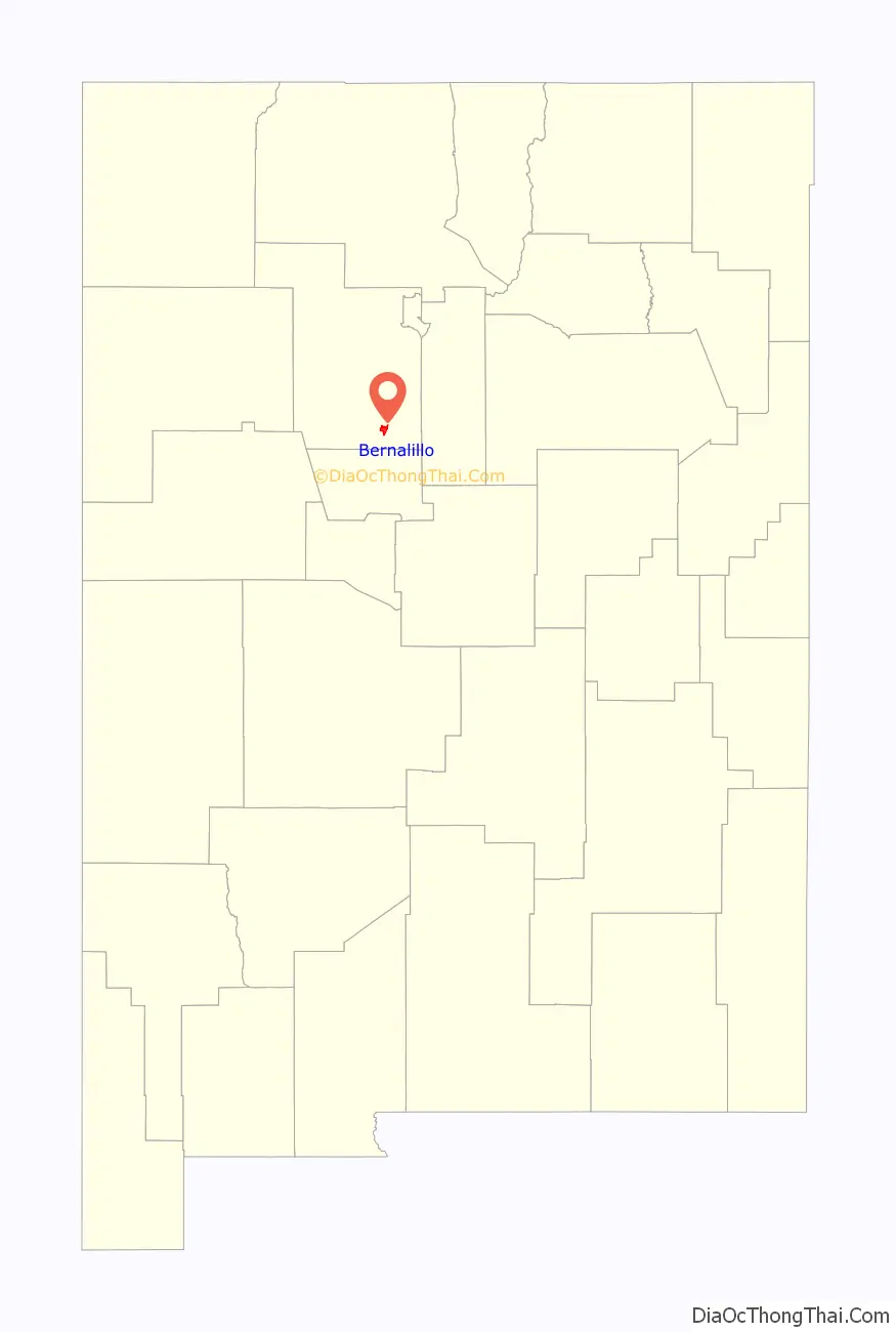
Bernalillo location map. Where is Bernalillo town?
History
Wine Festival
In the 1620s, the wine grape was introduced to Bernalillo and the wine industry blew up. Families were making their own wine from scratch and vineyards were flourishing. Unfortunately, the market dipped due to drought and floods. Slowly over time, the wine industry came back into Bernalillo and has sustained its health today, becoming a tradition and staple within the town itself.
The town has embraced its wine heritage and hosts the New Mexico Wine festival yearly during each Labor Day. The event brings in people from all of New Mexico as well as tourists. The event has served as an economic development project for the area as well.
Bernalillo Road Map
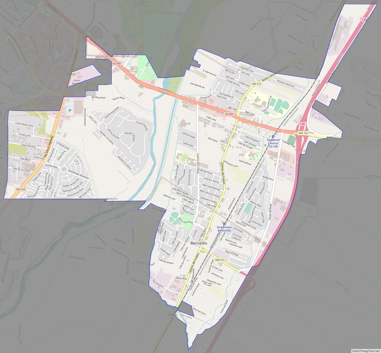
Bernalillo city Satellite Map
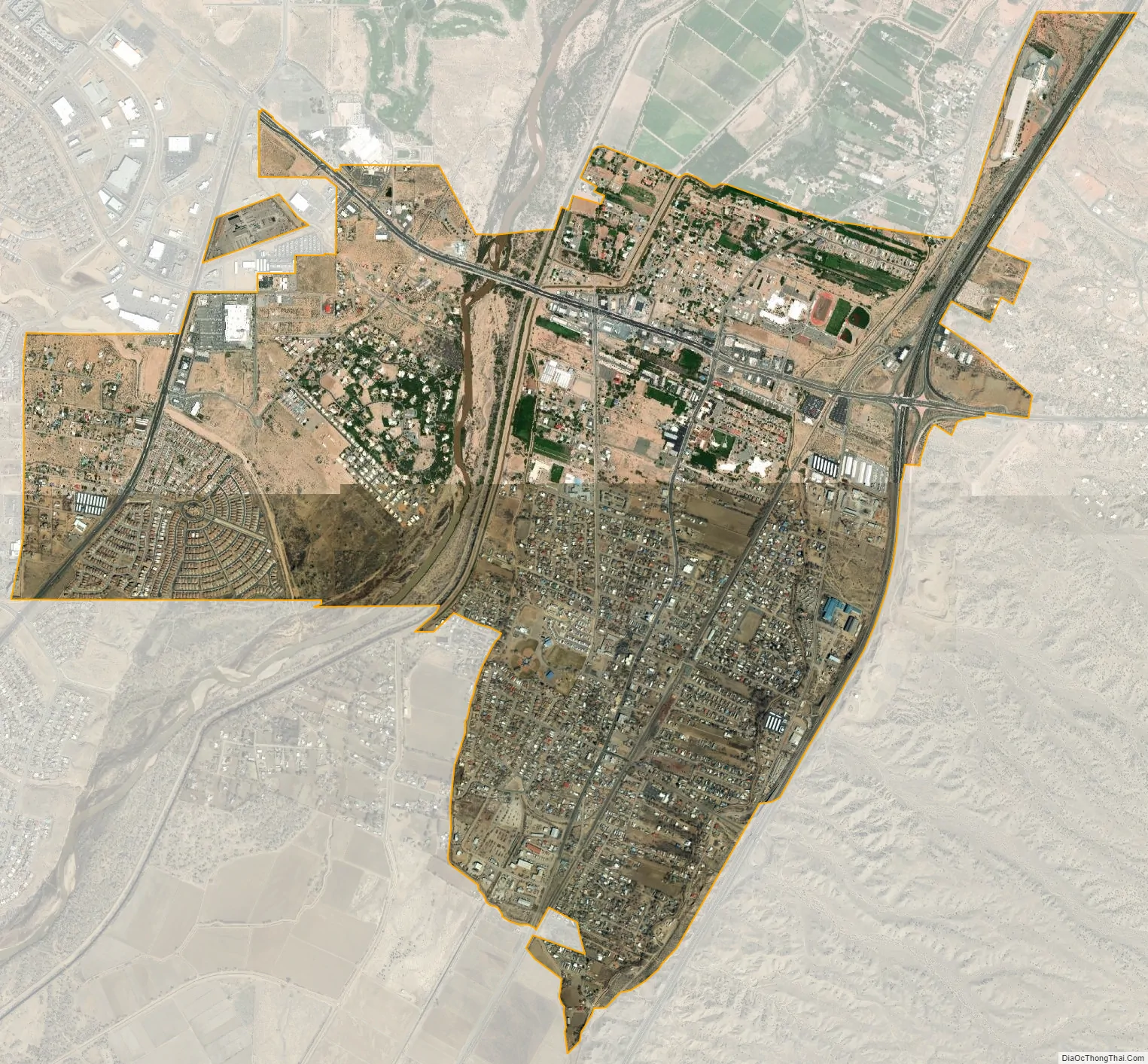
Geography
Bernalillo is located at 35°18′34″N 106°33′7″W / 35.30944°N 106.55194°W / 35.30944; -106.55194 (35.309363, -106.552032). It lies in the Rio Grande Valley of the Albuquerque Basin on the east bank of the Rio Grande. According to the United States Census Bureau, the town has a total area of 4.7 square miles (12 km), of which 4.6 square miles (12 km) is land and 0.1 square miles (0.26 km) (2.34%) is water.
See also
Map of New Mexico State and its subdivision: Map of other states:- Alabama
- Alaska
- Arizona
- Arkansas
- California
- Colorado
- Connecticut
- Delaware
- District of Columbia
- Florida
- Georgia
- Hawaii
- Idaho
- Illinois
- Indiana
- Iowa
- Kansas
- Kentucky
- Louisiana
- Maine
- Maryland
- Massachusetts
- Michigan
- Minnesota
- Mississippi
- Missouri
- Montana
- Nebraska
- Nevada
- New Hampshire
- New Jersey
- New Mexico
- New York
- North Carolina
- North Dakota
- Ohio
- Oklahoma
- Oregon
- Pennsylvania
- Rhode Island
- South Carolina
- South Dakota
- Tennessee
- Texas
- Utah
- Vermont
- Virginia
- Washington
- West Virginia
- Wisconsin
- Wyoming