Parke County lies in the western part of the U.S. state of Indiana along the Wabash River. The county was formed in 1821 out of a portion of Vigo County. According to the 2010 census, the population was 17,339, an increase of 0.6% from 17,241 in 2000. The county seat is Rockville.
It has a population density of about 39 inhabitants per square mile (15/km). The county contains six incorporated towns and many unincorporated communities. It is divided into 13 townships which provide local services.
Two U.S. Routes and five state highways pass through or into the county, along with one major railroad line.
Parke County has 31 covered bridges and is widely acknowledged to be the ‘Covered Bridge Capital of the World’. It is the site for the Parke County Covered Bridge Festival which has been held in October each year.
Parke County is included in the Terre Haute, Indiana, Metropolitan Statistical Area.
| Name: | Parke County |
|---|---|
| FIPS code: | 18-121 |
| State: | Indiana |
| Founded: | 1821 |
| Named for: | Benjamin Parke |
| Seat: | Rockville |
| Largest town: | Rockville |
| Total Area: | 449.98 sq mi (1,165.4 km²) |
| Land Area: | 444.66 sq mi (1,151.7 km²) |
| Population Density: | 39/sq mi (15/km²) |
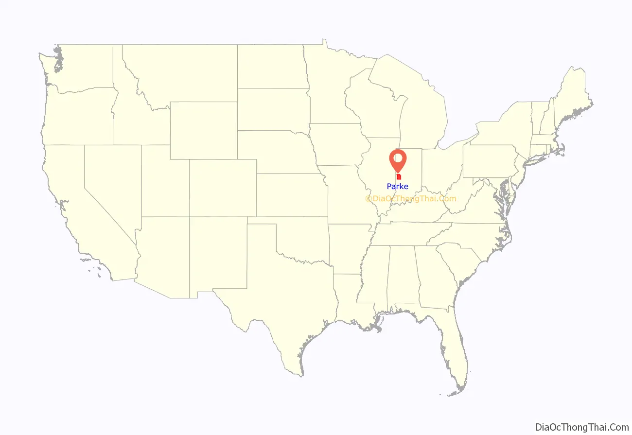
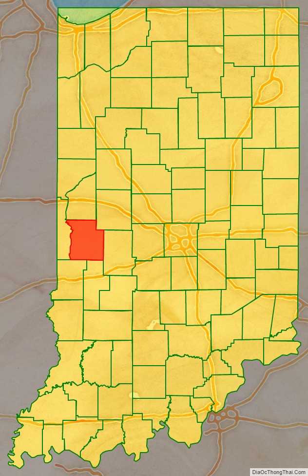
Parke County location map. Where is Parke County?
History
This area had been occupied for thousands of years by succeeding cultures of indigenous peoples. The first European settlement of the western area of Indiana along the Wabash River was by French-Canadian colonists, who founded Vincennes in 1703.
After the Seven Years’ War, France ceded its territory in North America to Great Britain. In turn, after the American Revolutionary War, the Crown ceded this territory east of the Mississippi River to the new United States, including land it did not control, which was occupied by Native American nations.
In 1811 the Shawnee chief Tecumseh rallied several tribes to try to expel the European-American settlers from the area. When General William Henry Harrison took an army from Vincennes to the Battle of Tippecanoe in late 1811 to fight with the Indians, Zachariah Cicott served as a scout. Cicott had traded with Indians up and down the Wabash River, starting around 1801. The trail taken by Harrison’s army, on its way to and from the battle site in Tippecanoe County, passed through the area that later became Parke County. The settlement of Armiesburg in Wabash Township was so named because Harrison and his army crossed the Raccoon Creek and camped near there on their way to the battle.
Formed on January 9, 1821, from a portion of Vigo County, Parke County was formed by an act approved by the state legislature. It was named for Captain Benjamin Parke, who commanded a troop of light Dragoons at the Battle of Tippecanoe. Parke was elected as a delegate of Indiana Territory to the U.S. Congress. In 1821, he was appointed as U.S. District Judge for Indiana.
First located at Roseville, the county seat was relocated to Armiesburg. In 1822, the county settled on Rockville as the permanent location. The state act had called for construction of county buildings to start within one year of the county’s formation; but in the event, it did not start until 1824. The first courthouse was completed on the Rockville town square in 1826. The log structure doubled as a church.
In 1832 the log building was replaced by a brick structure, which served for more than 40 years until 1879, when it was demolished for replacement by a new stone courthouse. The architects for this building were Thomas J. Tolan and his son Brentwood of Fort Wayne; they designed seven Indiana courthouses, as well as two in Ohio, and one each in Iowa and Illinois. (The firm also designed the Rockville sheriff’s resident and jail, as well as others in Indiana, Ohio, Michigan, Illinois, Iowa and Tennessee).
Construction of the courthouse at Rockville was completed in 1882 at a cost of about $79,000. Items deposited in the cornerstone included documents of the town’s history, postage stamps, several varieties of grain grown in the county, coins, and photographs. A dedication ceremony took place on February 22, 1882, the anniversary of George Washington’s birthday. The clock and bell were added later at a cost of about $1,500.
The Wabash and Erie Canal was completed through the area around 1850 and ran through Parke County on the east side of the Wabash River. It served several communities along the banks of the river until it was discontinued in the 1870s.
Parke County Road Map
Geography
Parke County lies in western Indiana about halfway between the state’s north and south borders. It is bordered by Fountain County to the north; Montgomery County to the northeast; Putnam County to the east; Clay County to the south; and Vigo County to the southwest. The county’s western border is defined by the Wabash River; on the west side of the river lies Vermillion County, beyond which is the state of Illinois, less than 5 miles (8.0 km) from Parke County’s northwestern corner. The state capital of Indianapolis lies about 60 miles (97 km) to the east.
The entire county is within the drainage area of the Wabash River. North of Rockville, the gently undulating land is glacial till resulting from Wisconsinan glaciation. The Shelbyville moraine divides this from the nearly level Illinoisan till plain in the south part of the county.
Turkey Run State Park is located in northern Parke County. It was set aside as one of Indiana’s first state parks and consists of 2,382 acres (964 ha) of land. The county also contains a portion of Shades State Park, a 3,082-acre (1,247 ha) park about 5 miles (8.0 km) northeast of Turkey Run; the majority of Shades is located in Montgomery County.
According to the 2010 census, the county has a total area of 449.98 square miles (1,165.4 km), of which 444.66 square miles (1,151.7 km) (or 98.82%) is land and 5.32 square miles (13.8 km) (or 1.18%) is water.
Cities and towns
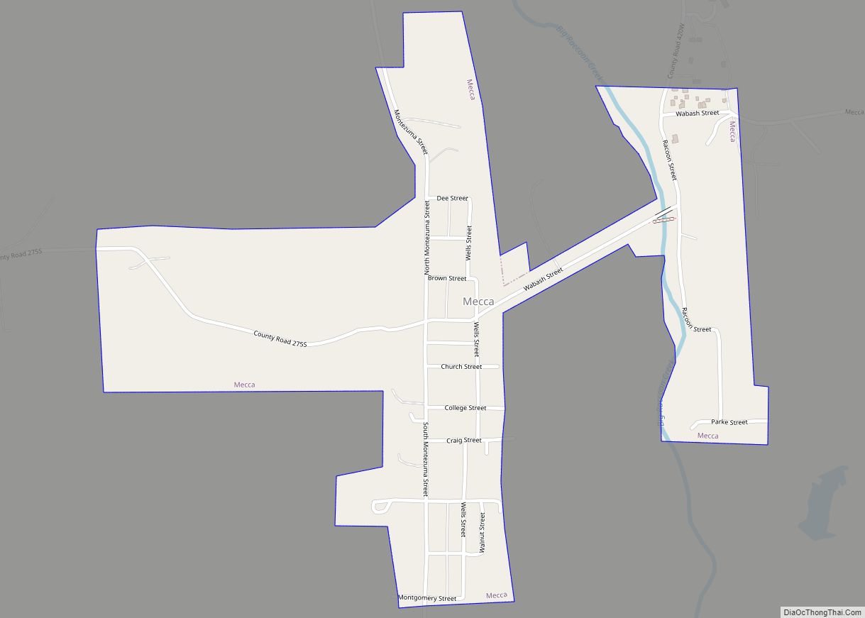
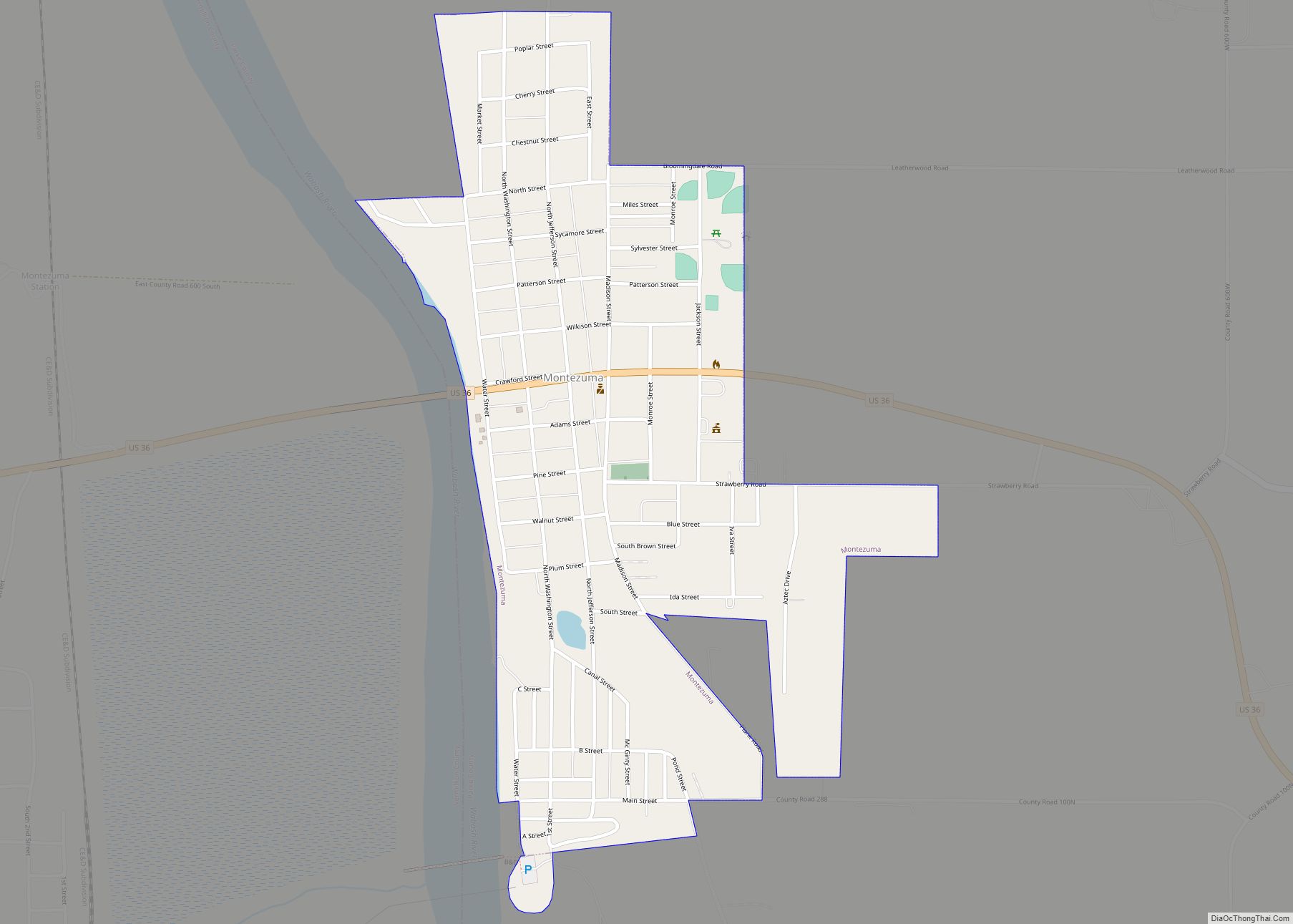
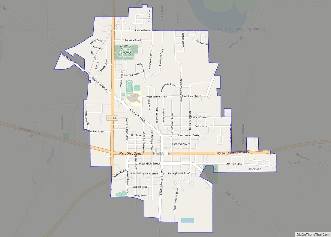
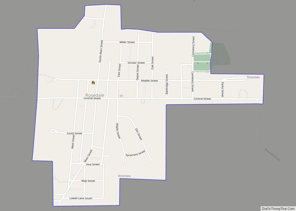
Parke County contains six incorporated settlements. The largest is Rockville with a population of about 2,600; located near the center of the county at the intersections of U.S. Routes 36 and 41, it is also the county seat. Bloomingdale is about 5 miles (8.0 km) to the north-northwest of Rockville and has a population of 335. To the north-northeast of Rockville lies Marshall, on Indiana State Road 236; its population is 324. To the southwest of Rockville, Mecca has a population of 335. Montezuma is at the far western edge of the county on U.S. Route 36; its population is 1,022. Finally, Rosedale is near the southern border of the county and has a population of 725.
Townships
- Adams
- Florida
- Greene
- Howard
- Jackson
- Liberty
- Penn
- Raccoon
- Reserve
- Sugar Creek
- Union
- Wabash
- Washington
Unincorporated towns
- Alma Lake
- Annapolis
- Arabia
- Armiesburg
- Banner Mills
- Bellmore
- Bethany
- Bradfield Corner
- Bridgeton
- Byron
- Catlin
- Cincinnati
- Coloma
- Coxville
- Diamond
- Ferndale
- Grange Corner
- Guion
- Hollandsburg
- Howard
- Hudnut
- Jessup
- Judson
- Keytsville‡
- Klondyke
- Leatherwood
- Lena
- Lodi
- Lusks Mills
- Lyford
- Madalline
- Mansfield
- Midway
- Milligan
- Minshall
- New Discovery
- Numa
- Nyesville
- Parkeville
- Piattsville
- Pin Hook
- Rockport
- Smockville
- Snow Hill
- Stumptown
- Superior
- Sylvania
- Tangier
- Vivalia‡
- West Atherton
- West Melcher
- West Union
Ghost town
- Coke Oven Hollow
