Fort Valley is a city in and the county seat of Peach County, Georgia, United States. As of the 2020 census, the city had a population of 8,780.
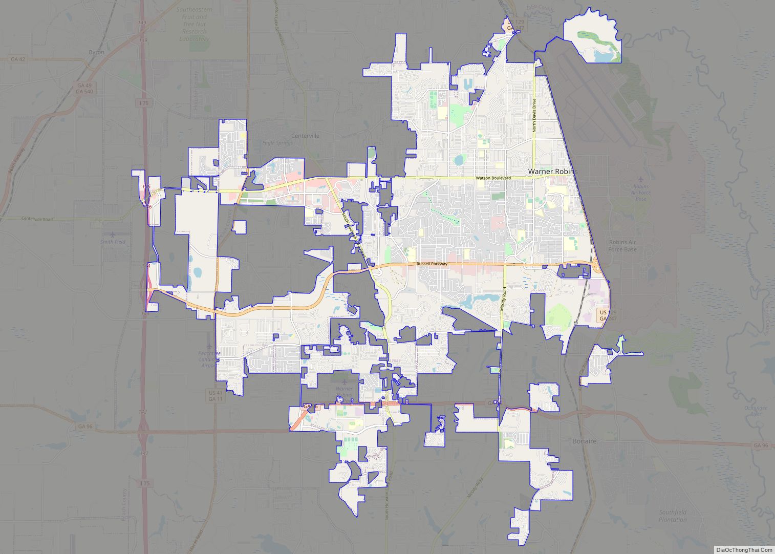
The city is in the Warner Robins metropolitan area and the Macon–Warner Robins combined statistical area.
| Name: | Fort Valley city |
|---|---|
| LSAD Code: | 25 |
| LSAD Description: | city (suffix) |
| State: | Georgia |
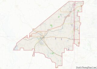
| County: | Peach County |
| Elevation: | 518 ft (158 m) |
| Total Area: | 7.55 sq mi (19.56 km²) |
| Land Area: | 7.54 sq mi (19.52 km²) |
| Water Area: | 0.01 sq mi (0.04 km²) |
| Total Population: | 8,780 |
| Population Density: | 1,164.77/sq mi (449.73/km²) |
| ZIP code: | 31030 |
| Area code: | 478 |
| FIPS code: | 1331096 |
| GNISfeature ID: | 0355881 |
Online Interactive Map
Click on ![]() to view map in "full screen" mode.
to view map in "full screen" mode.
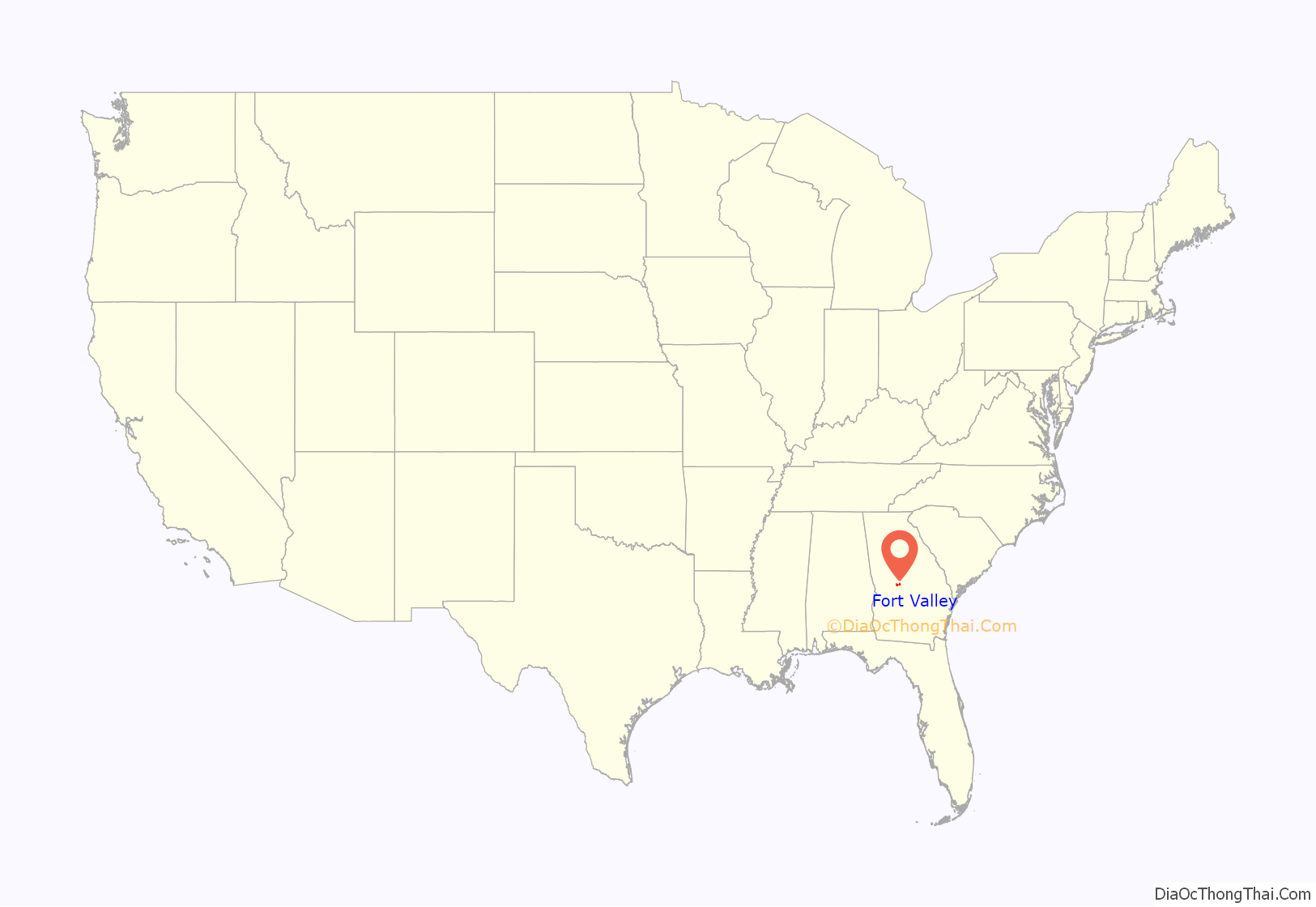
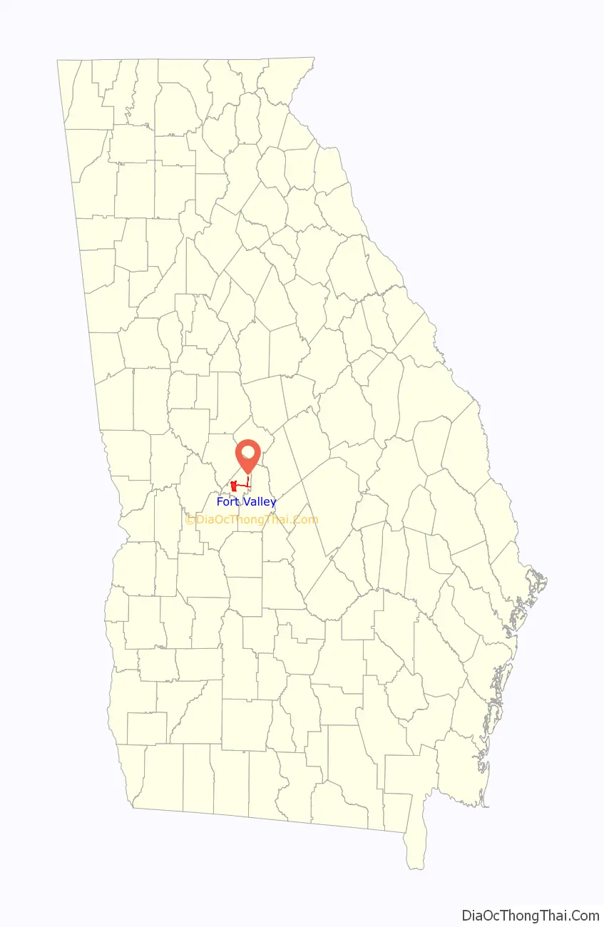
Fort Valley location map. Where is Fort Valley city?
History
The town’s name is a mystery, as it has never had a fort. Historians believe that the name was mistakenly changed in a transcription error when the post office was named; the area was originally thought to have been called Fox Valley.
Founded in 1836, Fort Valley was incorporated as a town in 1854 and as a city in 1907. In 1924 it was the designated seat of the newly formed Peach County.
Fort Valley was the backdrop for a Life feature story in the March 22, 1943 edition. The World War II-era story focused on the town’s sponsoring of the “Ham and Egg Show,” a contest held by African-American farmers to highlight ham and poultry production in Peach County, Georgia.
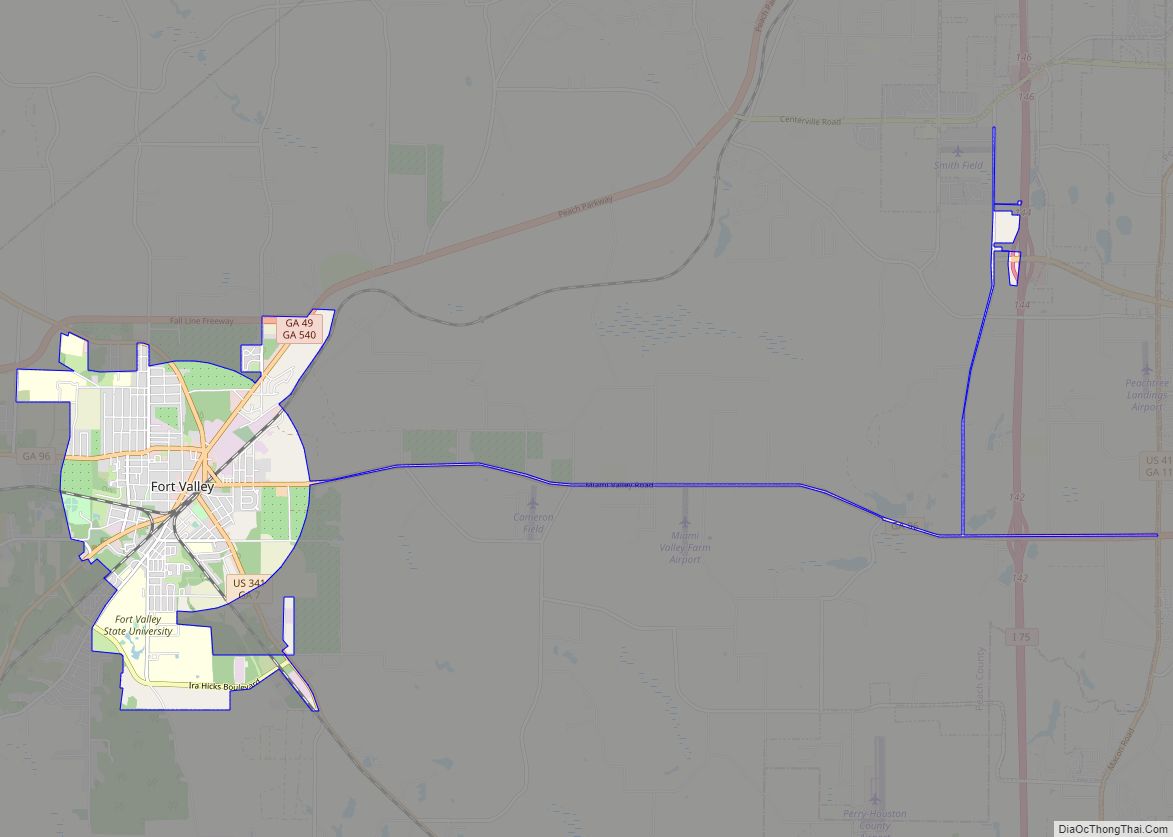
Fort Valley Road Map
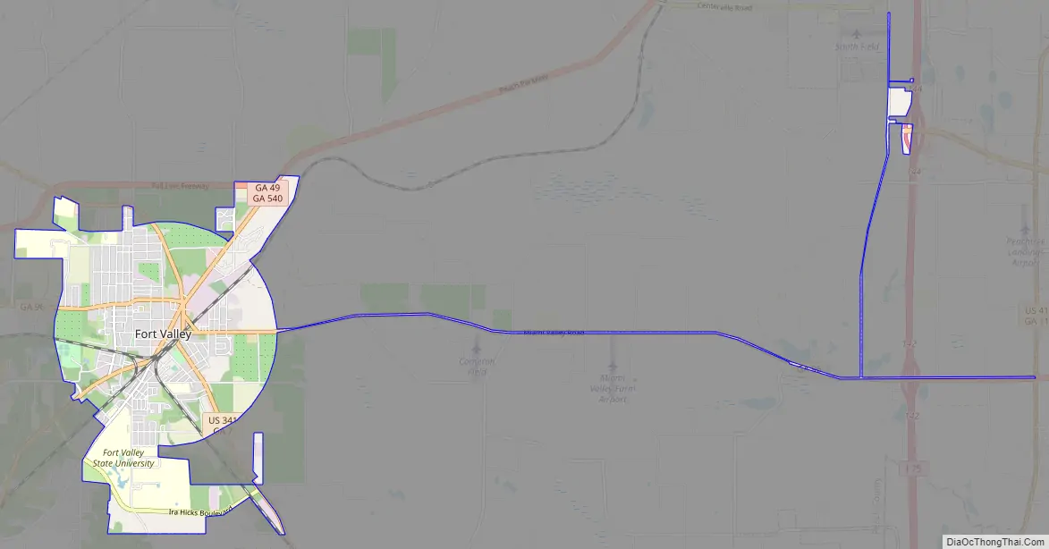
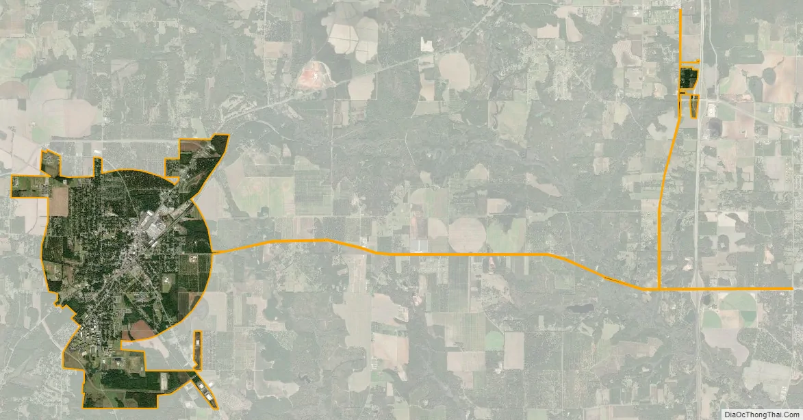
Fort Valley city Satellite Map
Geography
Fort Valley is located at 32°33′N 83°53′W / 32.550°N 83.883°W / 32.550; -83.883 (32.55, -83.89).
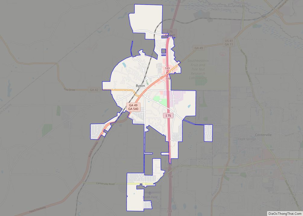
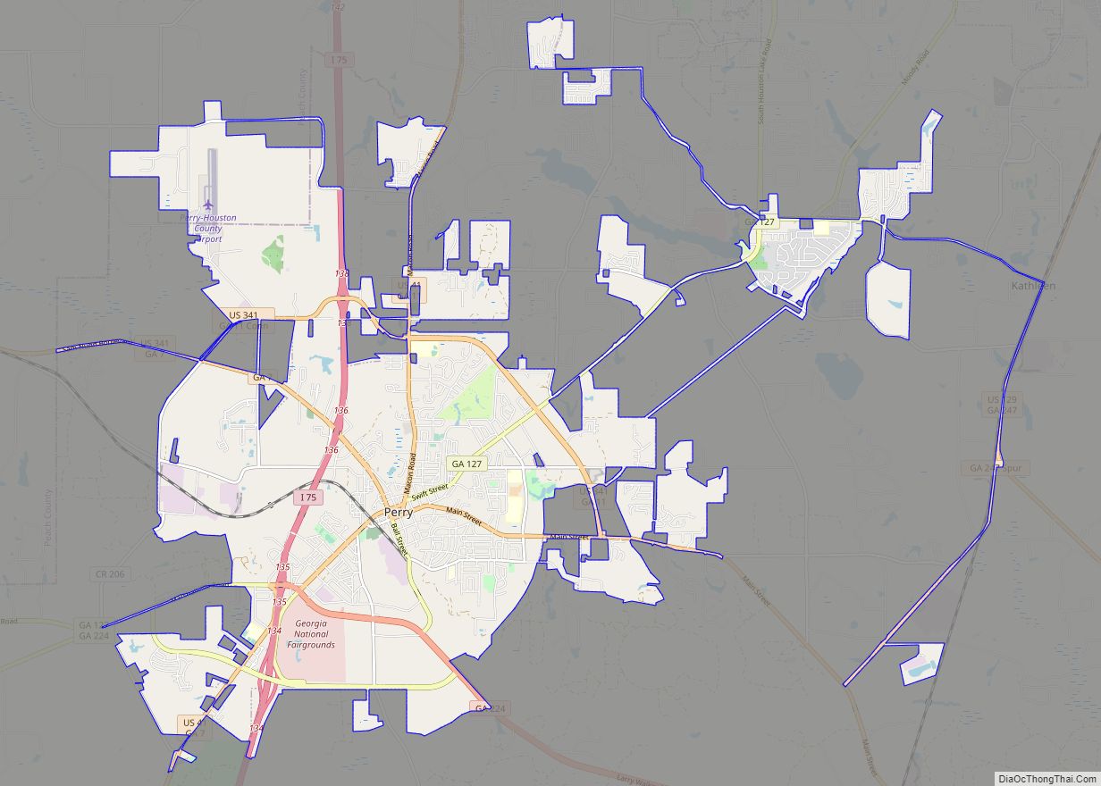
The city is located in the central part of the state along U.S. Route 341, which is the main route through the city. Via U.S. 341, Roberta is 15 mi (24 km) northwest, and Perry is 12 mi (19 km) southeast. Georgia State Routes 49, 96, and 540 (Fall Line Freeway) also run through the city. GA-49 leads northeast 11 mi (18 km) to Byron and southwest 8 mi (13 km) to Marshallville. GA-96 leads east 16 mi (26 km) to Warner Robins and west 13 mi (21 km) to Reynolds. The Fall Line Freeway runs north of the city as a four-lane divided highway, leading northeast to Byron with GA-49 and west to Reynolds with GA-96.
According to the United States Census Bureau, the city has a total area of 5.3 square miles (14 km), all land.
See also
Map of Georgia State and its subdivision:- Appling
- Atkinson
- Bacon
- Baker
- Baldwin
- Banks
- Barrow
- Bartow
- Ben Hill
- Berrien
- Bibb
- Bleckley
- Brantley
- Brooks
- Bryan
- Bulloch
- Burke
- Butts
- Calhoun
- Camden
- Candler
- Carroll
- Catoosa
- Charlton
- Chatham
- Chattahoochee
- Chattooga
- Cherokee
- Clarke
- Clay
- Clayton
- Clinch
- Cobb
- Coffee
- Colquitt
- Columbia
- Cook
- Coweta
- Crawford
- Crisp
- Dade
- Dawson
- Decatur
- DeKalb
- Dodge
- Dooly
- Dougherty
- Douglas
- Early
- Echols
- Effingham
- Elbert
- Emanuel
- Evans
- Fannin
- Fayette
- Floyd
- Forsyth
- Franklin
- Fulton
- Gilmer
- Glascock
- Glynn
- Gordon
- Grady
- Greene
- Gwinnett
- Habersham
- Hall
- Hancock
- Haralson
- Harris
- Hart
- Heard
- Henry
- Houston
- Irwin
- Jackson
- Jasper
- Jeff Davis
- Jefferson
- Jenkins
- Johnson
- Jones
- Lamar
- Lanier
- Laurens
- Lee
- Liberty
- Lincoln
- Long
- Lowndes
- Lumpkin
- Macon
- Madison
- Marion
- McDuffie
- McIntosh
- Meriwether
- Miller
- Mitchell
- Monroe
- Montgomery
- Morgan
- Murray
- Muscogee
- Newton
- Oconee
- Oglethorpe
- Paulding
- Peach
- Pickens
- Pierce
- Pike
- Polk
- Pulaski
- Putnam
- Quitman
- Rabun
- Randolph
- Richmond
- Rockdale
- Schley
- Screven
- Seminole
- Spalding
- Stephens
- Stewart
- Sumter
- Talbot
- Taliaferro
- Tattnall
- Taylor
- Telfair
- Terrell
- Thomas
- Tift
- Toombs
- Towns
- Treutlen
- Troup
- Turner
- Twiggs
- Union
- Upson
- Walker
- Walton
- Ware
- Warren
- Washington
- Wayne
- Webster
- Wheeler
- White
- Whitfield
- Wilcox
- Wilkes
- Wilkinson
- Worth
- Alabama
- Alaska
- Arizona
- Arkansas
- California
- Colorado
- Connecticut
- Delaware
- District of Columbia
- Florida
- Georgia
- Hawaii
- Idaho
- Illinois
- Indiana
- Iowa
- Kansas
- Kentucky
- Louisiana
- Maine
- Maryland
- Massachusetts
- Michigan
- Minnesota
- Mississippi
- Missouri
- Montana
- Nebraska
- Nevada
- New Hampshire
- New Jersey
- New Mexico
- New York
- North Carolina
- North Dakota
- Ohio
- Oklahoma
- Oregon
- Pennsylvania
- Rhode Island
- South Carolina
- South Dakota
- Tennessee
- Texas
- Utah
- Vermont
- Virginia
- Washington
- West Virginia
- Wisconsin
- Wyoming