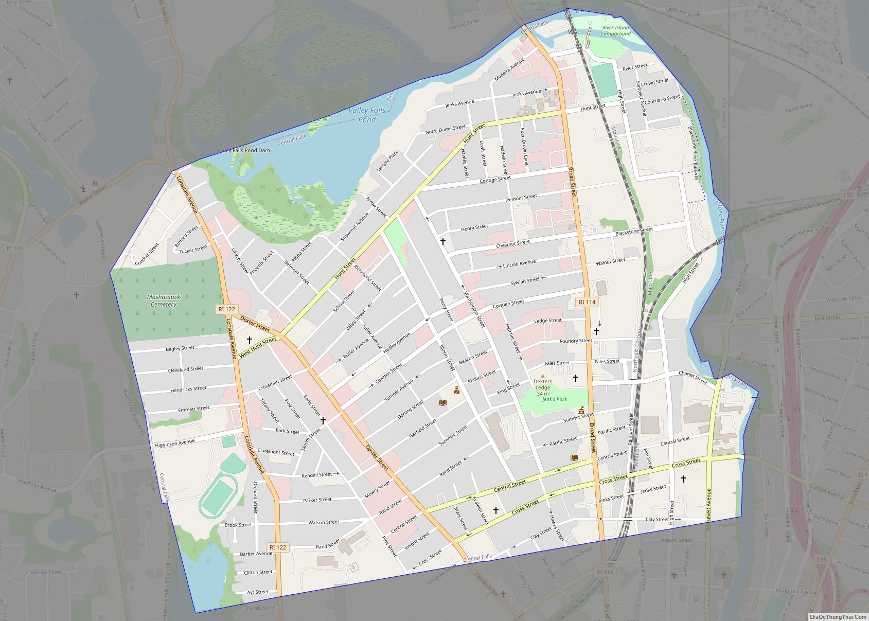
Central Falls is a city in Providence County, Rhode Island, United States. The population was 22,583 at the 2020 census. With an area of only 1.29 square miles (3.3 km), it is the smallest and most densely populated city in the smallest state, and the 27th most densely populated incorporated place in the United States. It is also one of only four incorporated places in New England that have a higher population density than the city of Boston (ranking fourth, behind the Massachusetts cities of Somerville, Chelsea and Cambridge, all inner suburbs of Boston). The city takes its name from a waterfall on the Blackstone River.
Central Falls went into receivership in May 2010, then filed for bankruptcy on August 1, 2011. After cutting jobs and services, it came out of bankruptcy in September 2012.
| Name: | Central Falls city |
|---|---|
| LSAD Code: | 25 |
| LSAD Description: | city (suffix) |
| State: | Rhode Island |
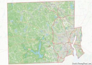
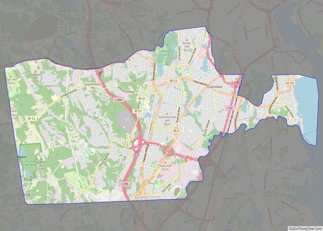
| County: | Providence County |
| Incorporated: | February 25, 1895 |
| Elevation: | 85 ft (26 m) |
| Total Area: | 1.27 sq mi (3.30 km²) |
| Land Area: | 1.19 sq mi (3.09 km²) |
| Water Area: | 0.08 sq mi (0.21 km²) |
| Total Population: | 22,583 |
| Population Density: | 18,913.74/sq mi (7,302.64/km²) |
| ZIP code: | 02863 |
| Area code: | 401 |
| FIPS code: | 4414140 |
| GNISfeature ID: | 1218931 |
| Website: | www.centralfallsri.us |
Online Interactive Map
Click on ![]() to view map in "full screen" mode.
to view map in "full screen" mode.
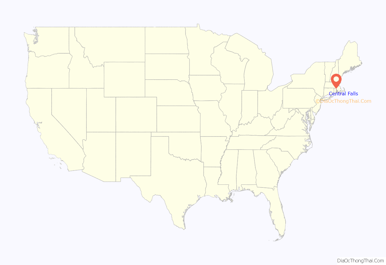
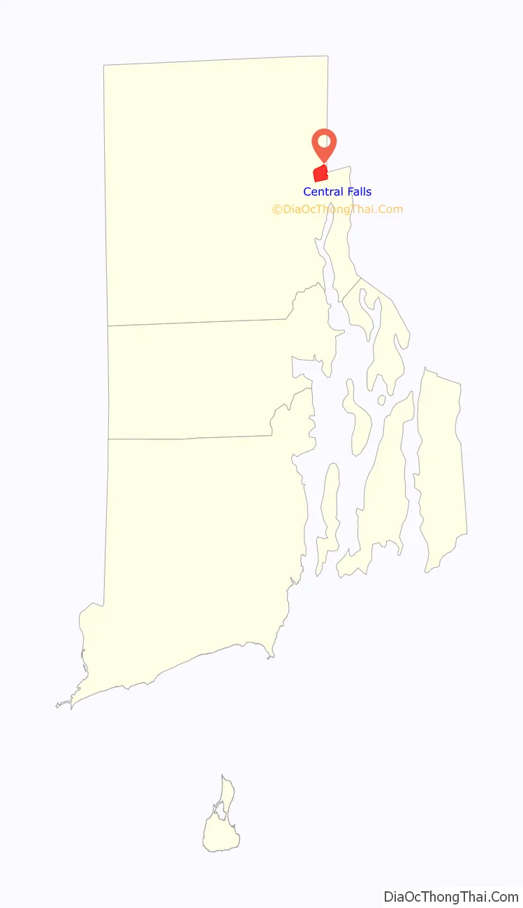
Central Falls location map. Where is Central Falls city?
History
Before Europeans arrived, the area was home to Nipmuc, Wampanoag and Narragansett peoples.
Central Falls has historic significance as the site of a major battle during King Philip’s War. It was here, on March 26, 1676, that Narragansett Indians ambushed Captain Michael Pierce and his Plymouth Colony troops who (with 20 Christian Wampanoag Indians) were pursuing them. Nearly all those ambushed were killed, including nine taken prisoner and later tortured to death at nearby Cumberland, Rhode Island. A stone memorial marks the mass grave at the site known as “Nine Men’s Misery”.
In the 18th century, Captain Stephen Jenks built a trip hammer and blacksmith shop along the Blackstone River, forming the nucleus of what eventually became Central Falls. Other manufacturers, including a chocolate maker, set up shop in the building, and the new village became known as Chocolateville.
In 1824, Jenks suggested the name Central Falls, thus giving the village its permanent name. Central Falls was incorporated as a town in 1730.
Originally, Central Falls was one of the many villages within the town of Smithfield, but in 1871, having experienced a growth spurt, it split into three smaller towns: Smithfield, North Smithfield and Lincoln. Central Falls then became part of the town of Lincoln. Lincoln experienced its own growth spurt, so in 1895 Lincoln split into two towns, giving rise to the city of Central Falls.
While Quakers made up the majority of the first European settlers in the area, they were soon followed by a diverse mix of immigrants from Ireland, Scotland and French Canada. By the 20th century, Central Falls had experienced its own population explosion and for a while was the nation’s most densely populated city. In recent decades, a large number of Hispanic immigrants have resided in Central Falls. Central Falls has historically been an extremely diverse city, so much so that when the city celebrated its 100th anniversary with a parade in 1995, more than 100 countries were represented.
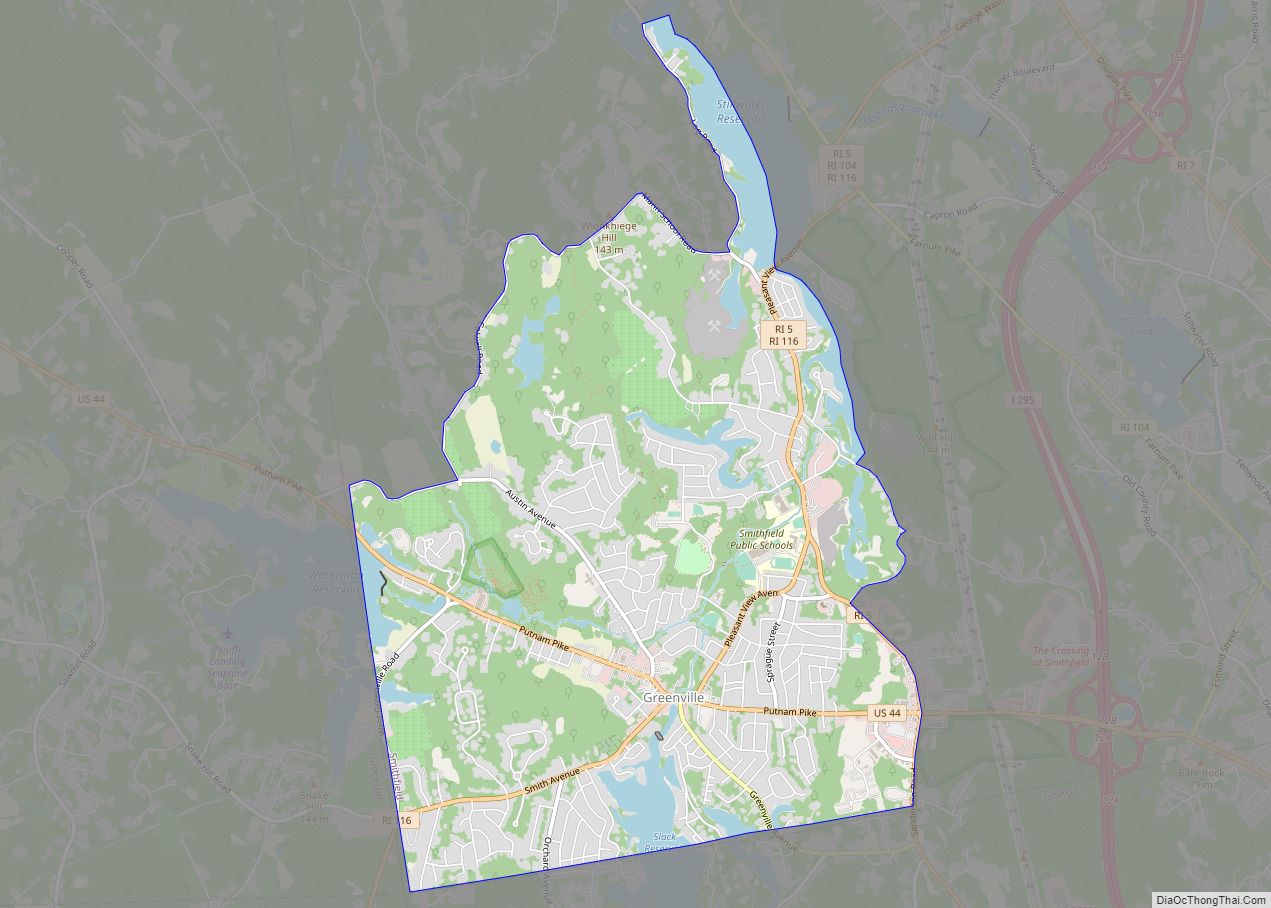
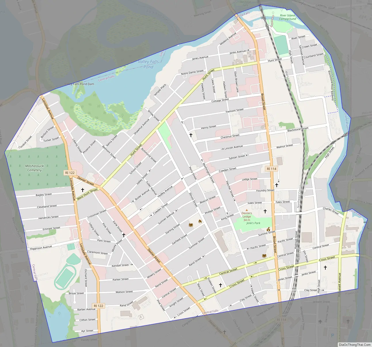
Central Falls Road Map
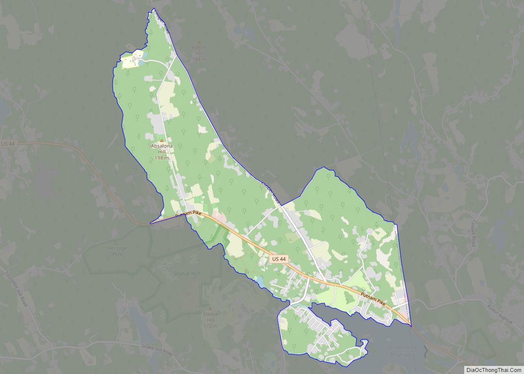
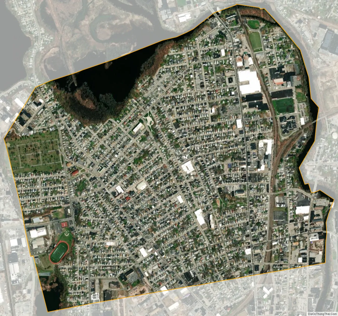
Central Falls city Satellite Map
Geography
Central Falls is located at 41°53′24″N 71°23′33″W / 41.89000°N 71.39250°W / 41.89000; -71.39250 (41.889863, −71.392606).
According to the United States Census Bureau, the city has an area of 1.3 square miles (3.4 km), of which 1.2 square miles (3.1 km) is land and 0.1 square miles (0.26 km) (6.20%) is water. It is drained by the Blackstone River.
See also
Map of Rhode Island State and its subdivision: Map of other states:- Alabama
- Alaska
- Arizona
- Arkansas
- California
- Colorado
- Connecticut
- Delaware
- District of Columbia
- Florida
- Georgia
- Hawaii
- Idaho
- Illinois
- Indiana
- Iowa
- Kansas
- Kentucky
- Louisiana
- Maine
- Maryland
- Massachusetts
- Michigan
- Minnesota
- Mississippi
- Missouri
- Montana
- Nebraska
- Nevada
- New Hampshire
- New Jersey
- New Mexico
- New York
- North Carolina
- North Dakota
- Ohio
- Oklahoma
- Oregon
- Pennsylvania
- Rhode Island
- South Carolina
- South Dakota
- Tennessee
- Texas
- Utah
- Vermont
- Virginia
- Washington
- West Virginia
- Wisconsin
- Wyoming