Union City is a city in Wayne Township, Randolph County, Indiana, United States. As of the 2010 census, the city had a population of 3,584.
Union City was a stop along the Pittsburgh, Cincinnati, Chicago and St. Louis Railroad, a forerunner of the Pennsylvania Railroad that connected Pittsburgh to Chicago and St. Louis. The Cleveland, Cincinnati, Chicago and St. Louis Railway (also known as the “Big Four”, a predecessor of the New York Central) had the east–west route connecting Indianapolis, Anderson and Muncie, Indiana with Sidney, Bellefontaine and Columbus, Ohio. It is believed by some area residents that the town got its nickname “The Hub City” because the two railroads intersected near the Ohio and Indiana state line.
| Name: | Union City city |
|---|---|
| LSAD Code: | 25 |
| LSAD Description: | city (suffix) |
| State: | Indiana |
| County: | Randolph County |
| Elevation: | 1,122 ft (343 m) |
| Total Area: | 2.27 sq mi (5.87 km²) |
| Land Area: | 2.26 sq mi (5.85 km²) |
| Water Area: | 0.01 sq mi (0.02 km²) 0.45% |
| Total Population: | 3,454 |
| Population Density: | 1,530.35/sq mi (590.88/km²) |
| ZIP code: | 47390 |
| Area code: | 765 |
| FIPS code: | 1877768 |
| GNISfeature ID: | 445119 |
Online Interactive Map
Click on ![]() to view map in "full screen" mode.
to view map in "full screen" mode.
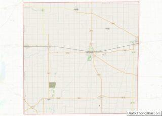
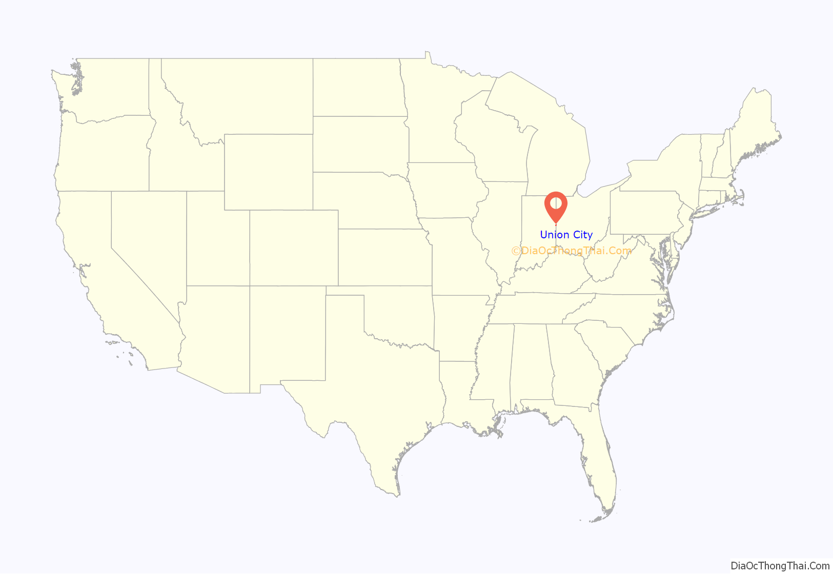
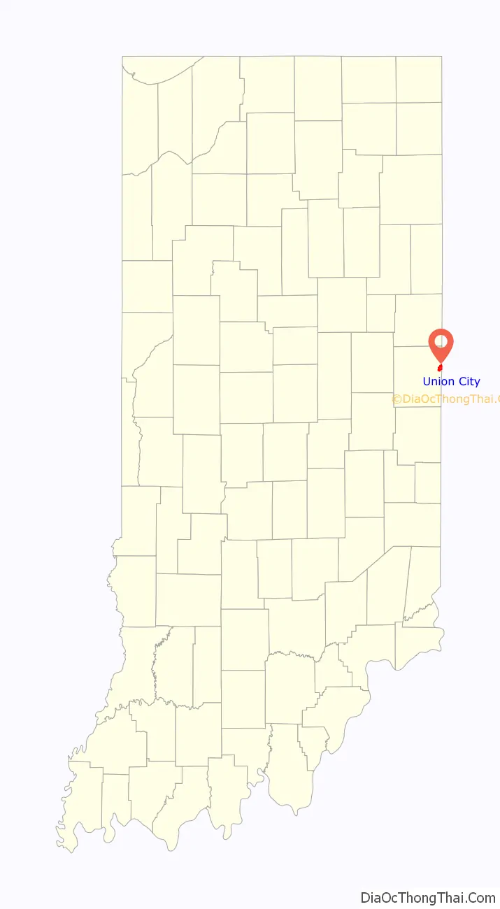
Union City location map. Where is Union City city?
History
Union City was platted in 1849, eleven years after its twin city of Union City, Ohio. A post office has been in operation at Union City, Indiana since 1852.
The William Kerr House, Raphael Kirshbaum Building, Union City Commercial Historic District, Union City Passenger Depot, Union City Public Library, and Union City School are listed on the National Register of Historic Places.
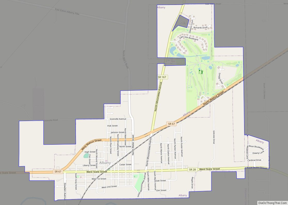
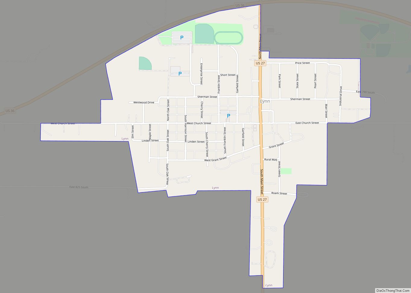
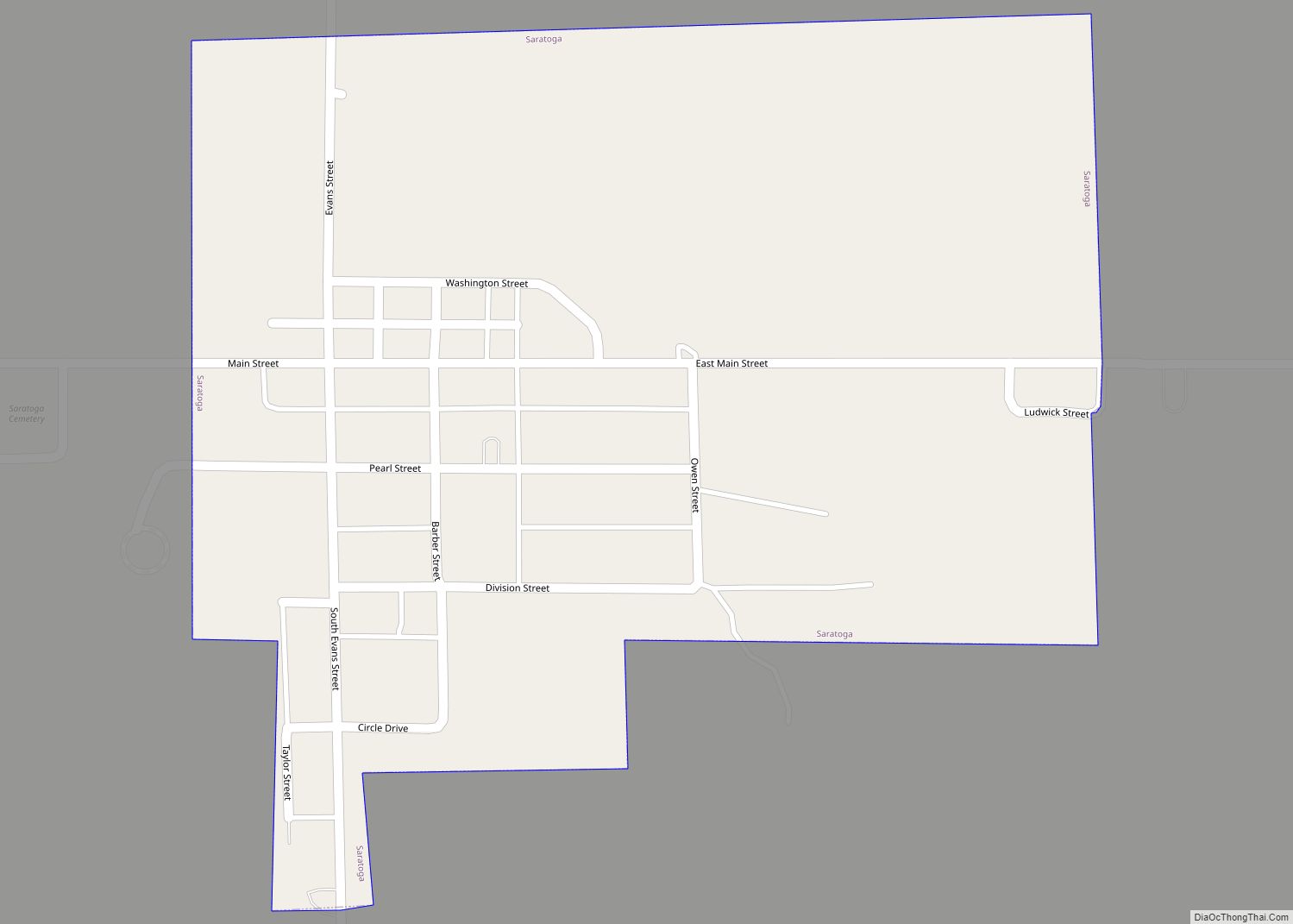
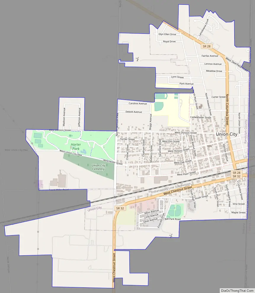
Union City Road Map
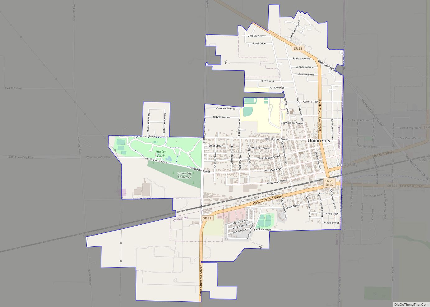
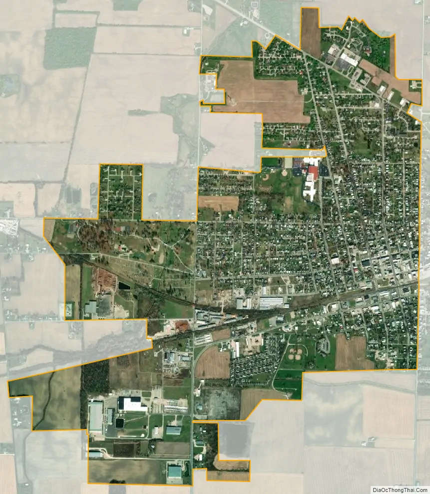
Union City city Satellite Map
Geography
Union City is located at 40°12′4″N 84°48′54″W / 40.20111°N 84.81500°W / 40.20111; -84.81500 (40.201173, -84.815094).
According to the 2010 census, Union City has a total area of 2.209 square miles (5.72 km), of which 2.2 square miles (5.70 km) (or 99.59%) is land and 0.009 square miles (0.02 km) (or 0.41%) is water.
See also
Map of Indiana State and its subdivision:- Adams
- Allen
- Bartholomew
- Benton
- Blackford
- Boone
- Brown
- Carroll
- Cass
- Clark
- Clay
- Clinton
- Crawford
- Daviess
- De Kalb
- Dearborn
- Decatur
- Delaware
- Dubois
- Elkhart
- Fayette
- Floyd
- Fountain
- Franklin
- Fulton
- Gibson
- Grant
- Greene
- Hamilton
- Hancock
- Harrison
- Hendricks
- Henry
- Howard
- Huntington
- Jackson
- Jasper
- Jay
- Jefferson
- Jennings
- Johnson
- Knox
- Kosciusko
- LaGrange
- Lake
- Lake Michigan
- LaPorte
- Lawrence
- Madison
- Marion
- Marshall
- Martin
- Miami
- Monroe
- Montgomery
- Morgan
- Newton
- Noble
- Ohio
- Orange
- Owen
- Parke
- Perry
- Pike
- Porter
- Posey
- Pulaski
- Putnam
- Randolph
- Ripley
- Rush
- Saint Joseph
- Scott
- Shelby
- Spencer
- Starke
- Steuben
- Sullivan
- Switzerland
- Tippecanoe
- Tipton
- Union
- Vanderburgh
- Vermillion
- Vigo
- Wabash
- Warren
- Warrick
- Washington
- Wayne
- Wells
- White
- Whitley
- Alabama
- Alaska
- Arizona
- Arkansas
- California
- Colorado
- Connecticut
- Delaware
- District of Columbia
- Florida
- Georgia
- Hawaii
- Idaho
- Illinois
- Indiana
- Iowa
- Kansas
- Kentucky
- Louisiana
- Maine
- Maryland
- Massachusetts
- Michigan
- Minnesota
- Mississippi
- Missouri
- Montana
- Nebraska
- Nevada
- New Hampshire
- New Jersey
- New Mexico
- New York
- North Carolina
- North Dakota
- Ohio
- Oklahoma
- Oregon
- Pennsylvania
- Rhode Island
- South Carolina
- South Dakota
- Tennessee
- Texas
- Utah
- Vermont
- Virginia
- Washington
- West Virginia
- Wisconsin
- Wyoming