Ashville is a city in and one of the county seats of St. Clair County, Alabama, United States, other seat being Pell City. Its population was 2,212 at the 2010 census, down from 2,260, at which time it was a town. It incorporated in 1822.
| Name: | Ashville city |
|---|---|
| LSAD Code: | 25 |
| LSAD Description: | city (suffix) |
| State: | Alabama |
| County: | St. Clair County |
| Elevation: | 577 ft (176 m) |
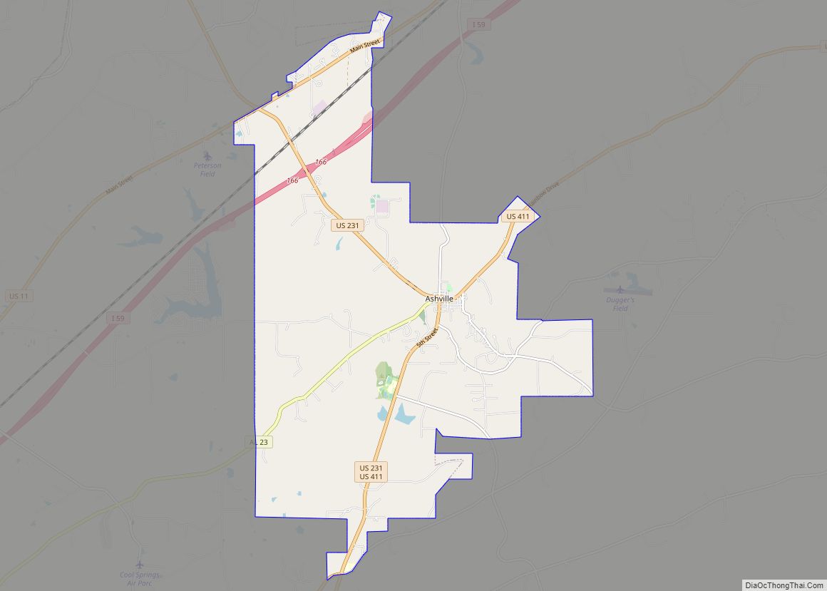
| Total Area: | 19.40 sq mi (50.25 km²) |
| Land Area: | 19.21 sq mi (49.76 km²) |
| Water Area: | 0.19 sq mi (0.49 km²) |
| Total Population: | 2,346 |
| Population Density: | 122.10/sq mi (47.14/km²) |
| ZIP code: | 35953 |
| FIPS code: | 0102908 |
| GNISfeature ID: | 0164539 |
| Website: | www.cityofashville.org |
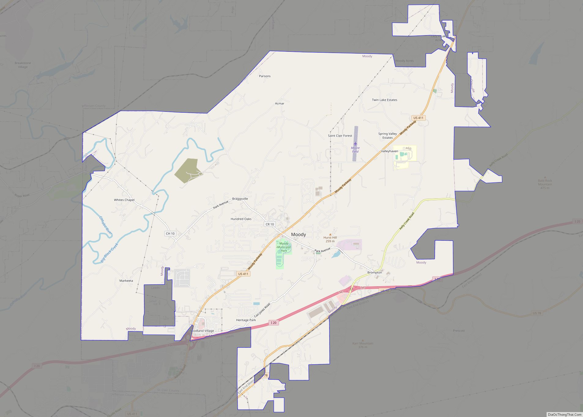
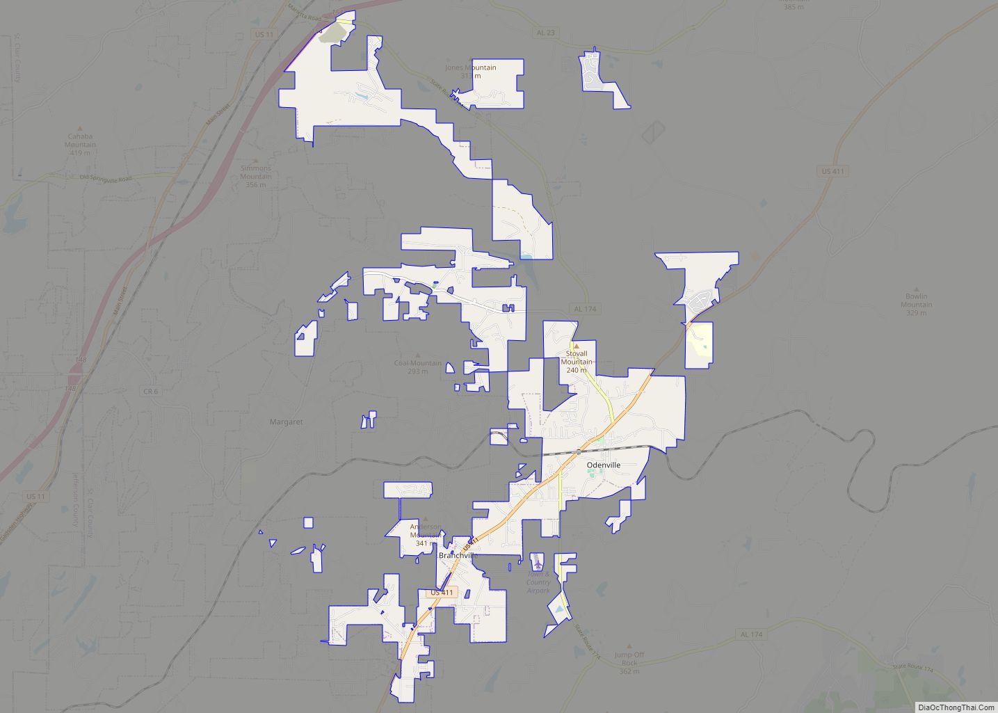
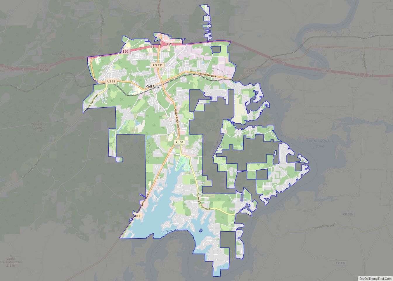
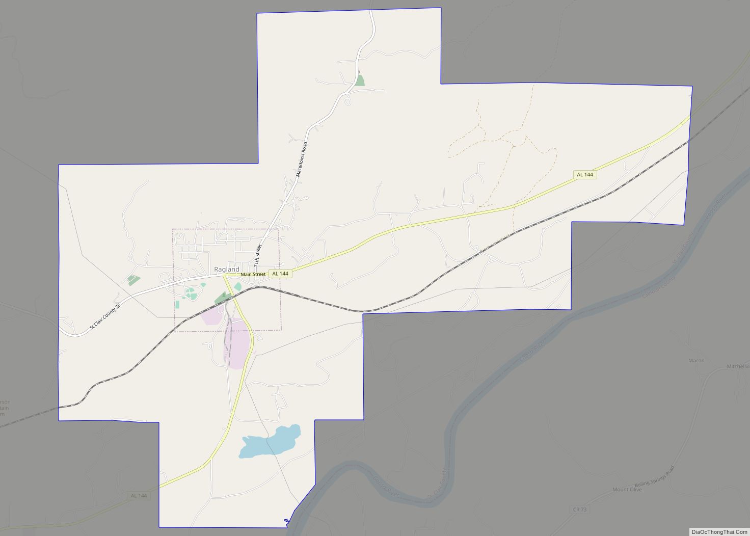
Online Interactive Map
Click on ![]() to view map in "full screen" mode.
to view map in "full screen" mode.
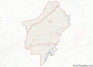
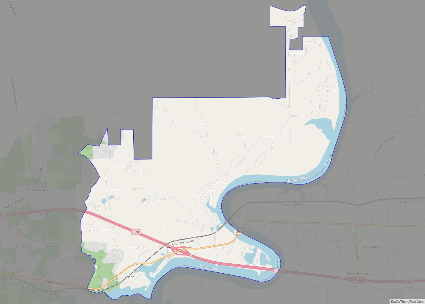
Ashville location map. Where is Ashville city?


History
Ashville was initially founded as the community of St. Clairsville, but the name was changed to honor John Ash, the first white settler of the area who arrived in 1817. He became the first county judge and later state senator. His log cabin stands in the city center. Philip Coleman originally owned the land on which the town stands, but he sold 30 acres to the five county commissioners, which included Ash, who was appointed by Gov. Thomas Bibb to establish a new county seat for St. Clair. It was designated the county seat in 1821 and the village incorporated in 1822. The first courthouse, also a log structure, was built two years later. It was replaced in 1844 with the current courthouse building.
In 1890, a group of investors organized the Tennessee River, Ashville and Coosa Railroad Company, and planned to build a railroad line from Sheffield to Anniston via Ashville. It managed to build to Ashville from Whitney, connecting the town to the Alabama Great Southern Railroad. However, it went bankrupt during the mid-1890s, and the tracks were dismantled and sold for scrap.
Electric lights came to Ashville in 1891, and the first telephone company was chartered in the same year. Residents in the southern half of the county often complained of the difficulty of traveling to Ashville over Backbone Mountain, which divides the county, so the state legislature authorized a satellite county seat to be established in Pell City in 1907 on the southern side of the mountain.
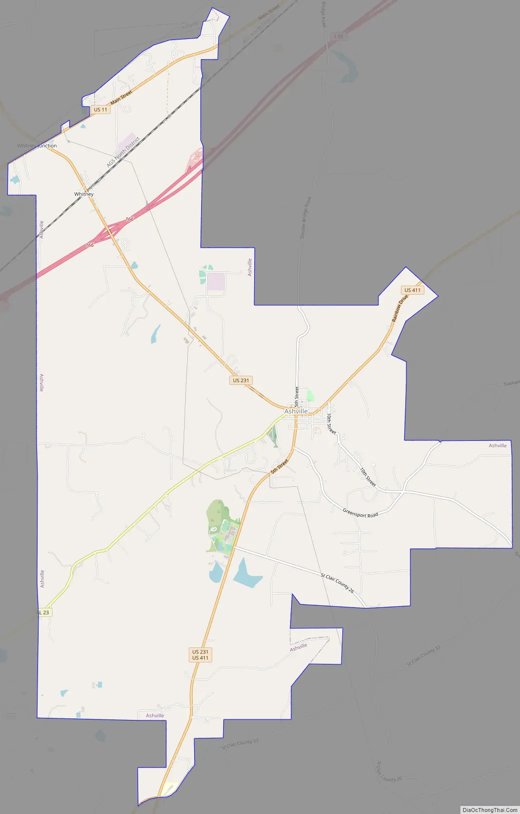
Ashville Road Map
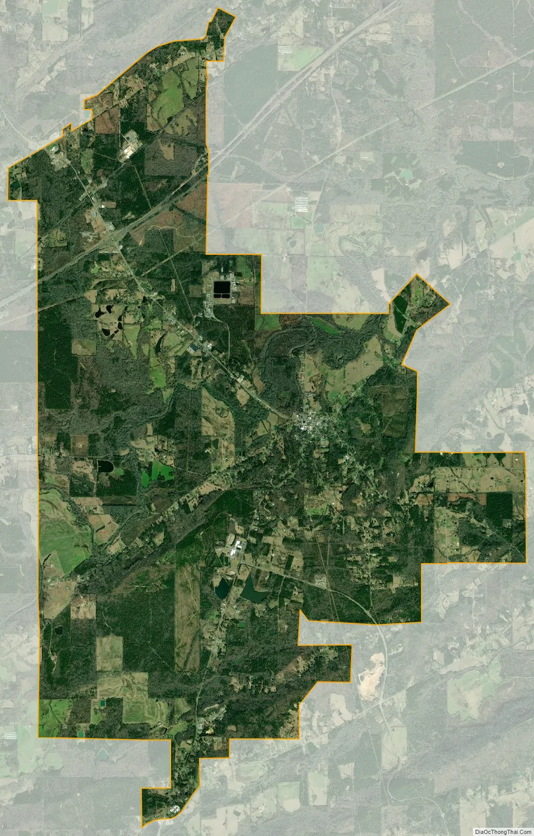
Ashville city Satellite Map
Geography
Ashville is located at 33°50′37″N 86°15′59″W / 33.84361°N 86.26639°W / 33.84361; -86.26639 (33.843737, -86.266274).
According to the United States Census Bureau, the town had a total area of 19.4 square miles (50 km), of which 19.3 square miles (50 km) is land and 0.1 square mile (0.26 km) (0.46%) is water.
Climate
The climate in this area is characterized by hot, humid summers and generally mild to cool winters. According to the Köppen climate classification system, Ashville has a humid subtropical climate, abbreviated “Cfa” on climate maps.
See also
Map of Alabama State and its subdivision:- Autauga
- Baldwin
- Barbour
- Bibb
- Blount
- Bullock
- Butler
- Calhoun
- Chambers
- Cherokee
- Chilton
- Choctaw
- Clarke
- Clay
- Cleburne
- Coffee
- Colbert
- Conecuh
- Coosa
- Covington
- Crenshaw
- Cullman
- Dale
- Dallas
- De Kalb
- Elmore
- Escambia
- Etowah
- Fayette
- Franklin
- Geneva
- Greene
- Hale
- Henry
- Houston
- Jackson
- Jefferson
- Lamar
- Lauderdale
- Lawrence
- Lee
- Limestone
- Lowndes
- Macon
- Madison
- Marengo
- Marion
- Marshall
- Mobile
- Monroe
- Montgomery
- Morgan
- Perry
- Pickens
- Pike
- Randolph
- Russell
- Saint Clair
- Shelby
- Sumter
- Talladega
- Tallapoosa
- Tuscaloosa
- Walker
- Washington
- Wilcox
- Winston
- Alabama
- Alaska
- Arizona
- Arkansas
- California
- Colorado
- Connecticut
- Delaware
- District of Columbia
- Florida
- Georgia
- Hawaii
- Idaho
- Illinois
- Indiana
- Iowa
- Kansas
- Kentucky
- Louisiana
- Maine
- Maryland
- Massachusetts
- Michigan
- Minnesota
- Mississippi
- Missouri
- Montana
- Nebraska
- Nevada
- New Hampshire
- New Jersey
- New Mexico
- New York
- North Carolina
- North Dakota
- Ohio
- Oklahoma
- Oregon
- Pennsylvania
- Rhode Island
- South Carolina
- South Dakota
- Tennessee
- Texas
- Utah
- Vermont
- Virginia
- Washington
- West Virginia
- Wisconsin
- Wyoming