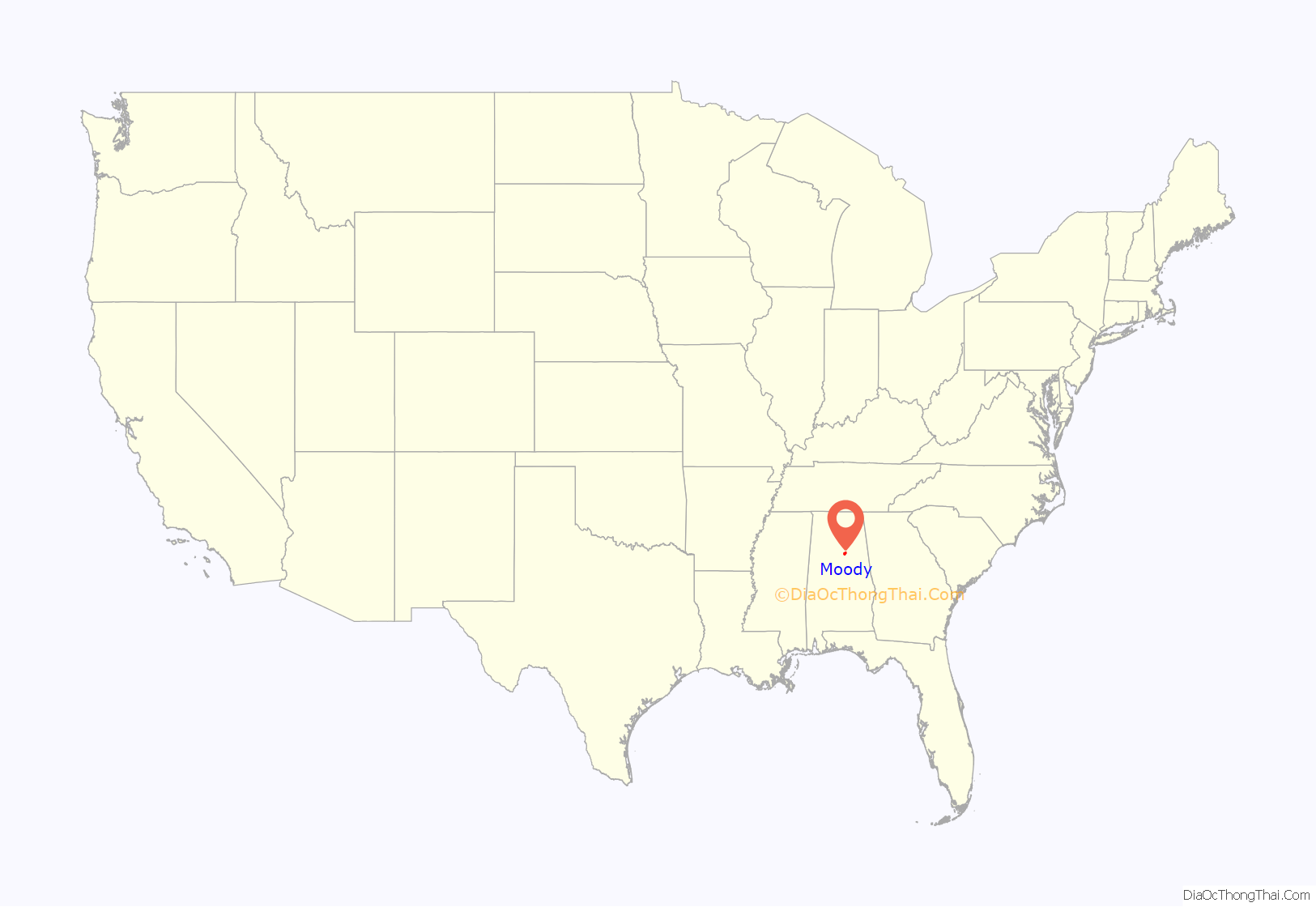
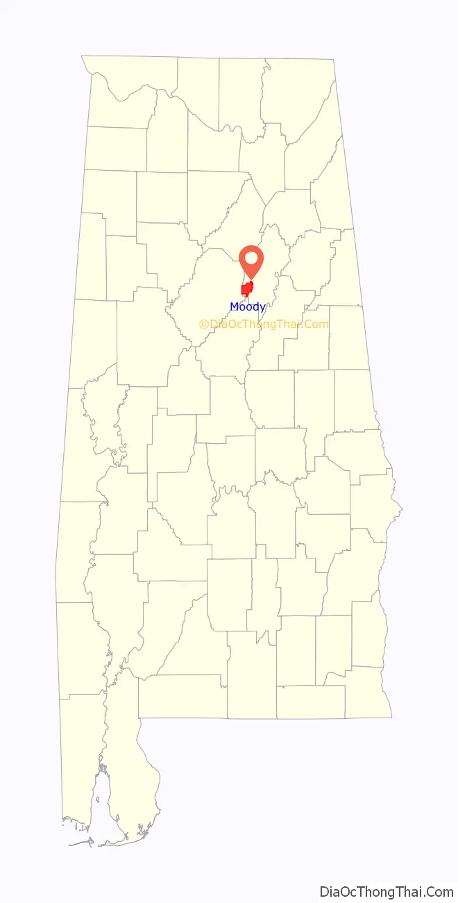
Moody is a city located in St. Clair County, Alabama. The city was founded in 1907, and it was named after a local businessman named Epps Moody. It is located about 22 miles east of Birmingham and has a population of approximately 12,000 people. The city covers an area of 24.5 square miles, with a land area of 24.3 square miles and a water area of 0.2 square miles.
In the early days, the city was primarily an agricultural community, with cotton and timber being the main crops. However, with the arrival of the railroad in the early 20th century, Moody began to grow and develop into a more industrialized city. Today, the city is home to a number of industries, including manufacturing, healthcare, and retail.
The city hosts several events throughout the year, including the Moody Bluegrass Festival, which features live bluegrass music, arts and crafts, and food vendors. Other events include the Moody Miracle League Baseball Tournament, which raises money for the Miracle League of St. Clair County, and the Annual Christmas Parade.
Moody has a number of public and private schools. The Moody City School District operates two elementary schools, one middle school, and one high school. Additionally, there are several private schools in the area, including the Gathering Place Christian Academy and Heritage Independent School. For higher education, the city is located near several colleges and universities, including the University of Alabama at Birmingham and Samford University.
| Name: | Moody city |
|---|---|
| LSAD Code: | 25 |
| LSAD Description: | city (suffix) |
| State: | Alabama |
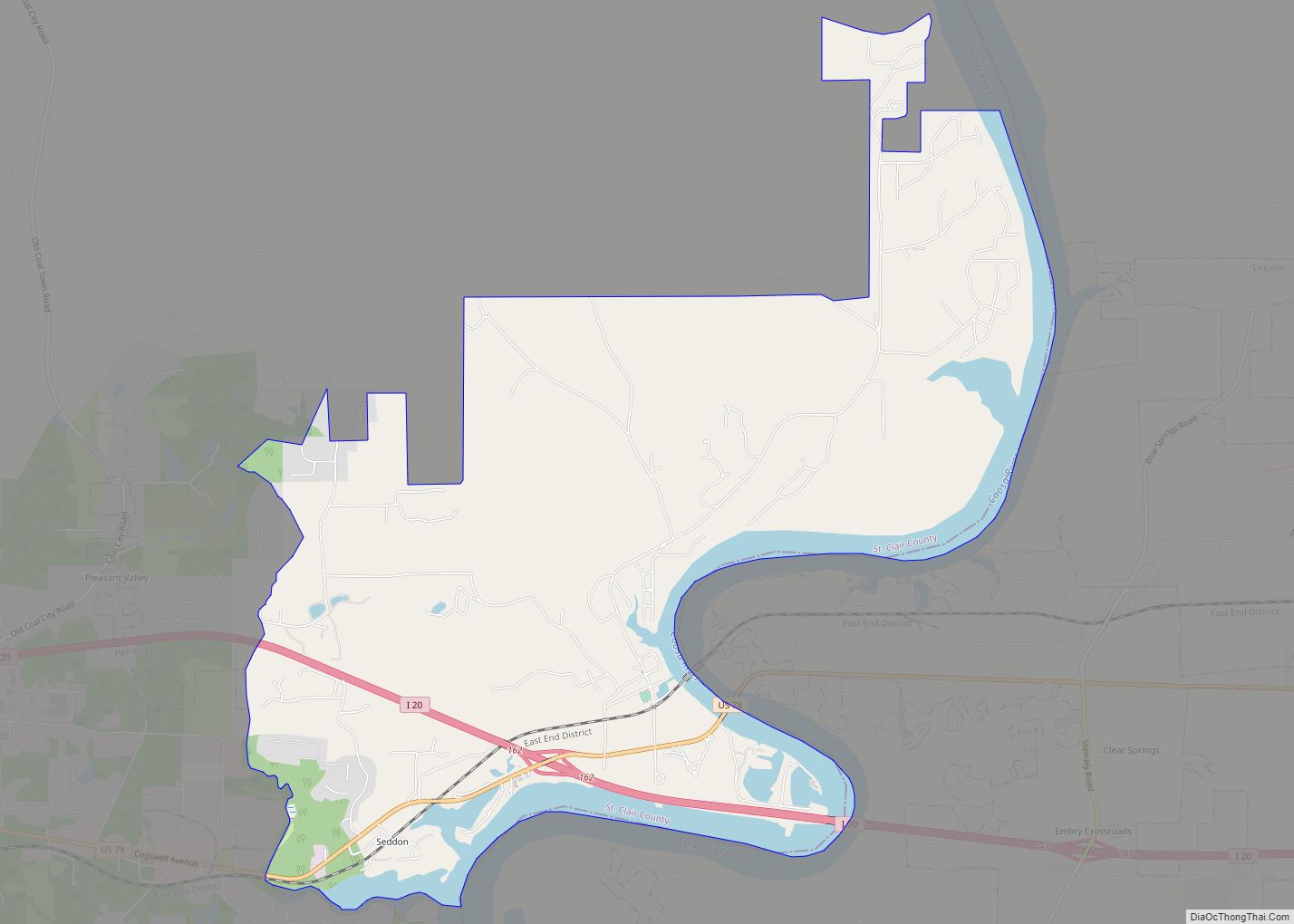
| County: | St. Clair County |
| Incorporated: | 1962 |
| Elevation: | 692 ft (211 m) |
| Total Area: | 24.84 sq mi (64.35 km²) |
| Land Area: | 24.53 sq mi (63.54 km²) |
| Water Area: | 0.31 sq mi (0.81 km²) |
| Total Population: | 13,170 |
| Population Density: | 536.87/sq mi (207.28/km²) |
| ZIP code: | 35004 |
| Area code: | 205, 659 |
| FIPS code: | 0151096 |
| GNISfeature ID: | 0164758 |
| Website: | www.moodyalabama.gov |
Online Interactive Map
Click on ![]() to view map in "full screen" mode.
to view map in "full screen" mode.
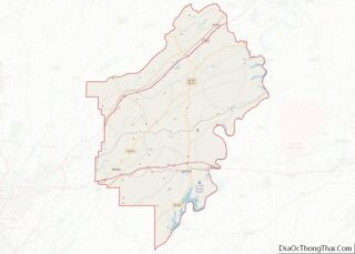
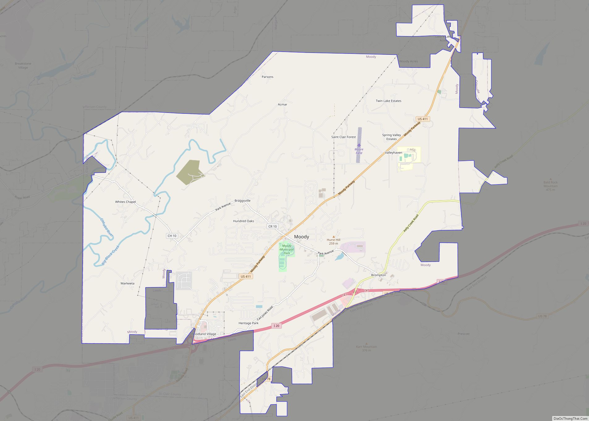
Moody location map. Where is Moody city?
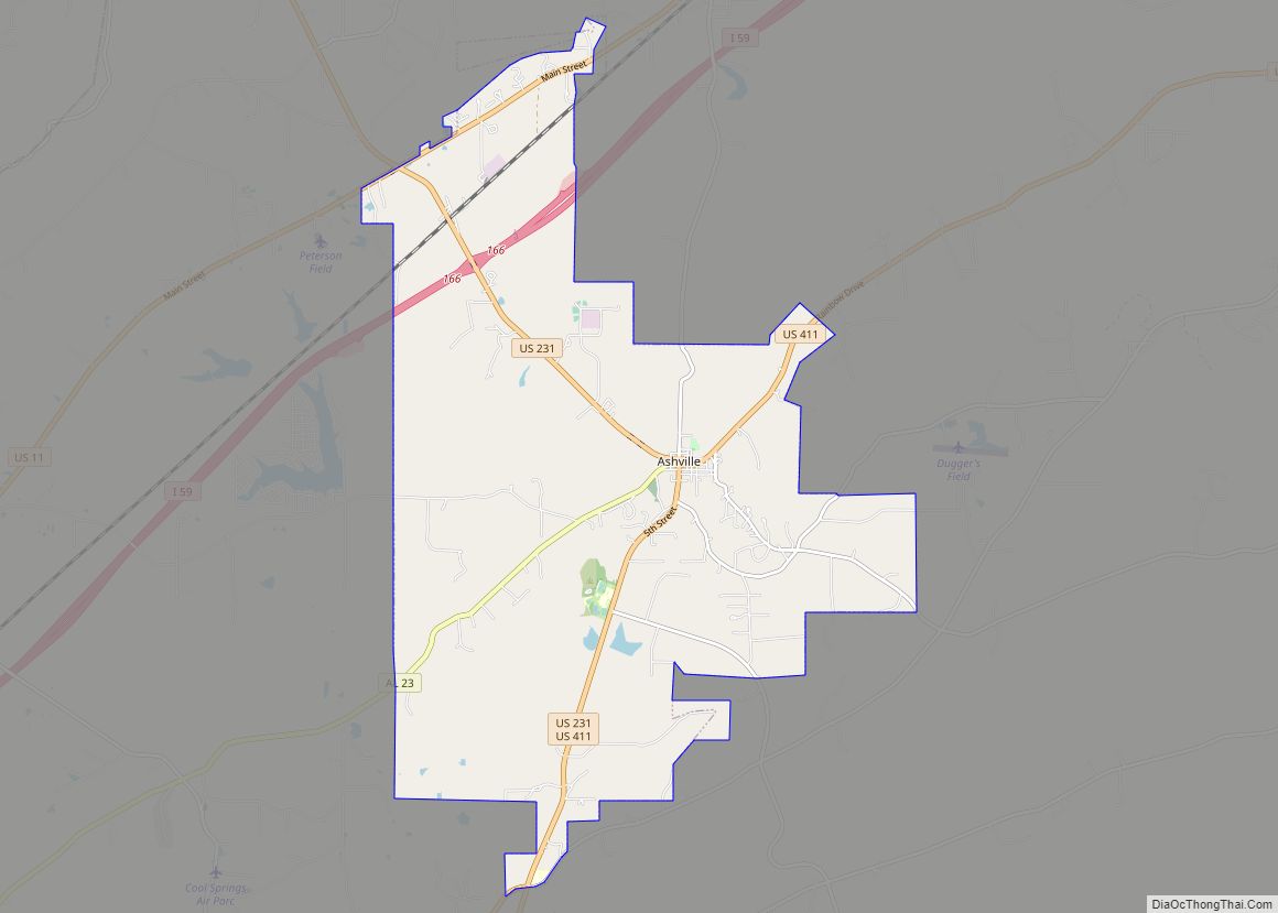
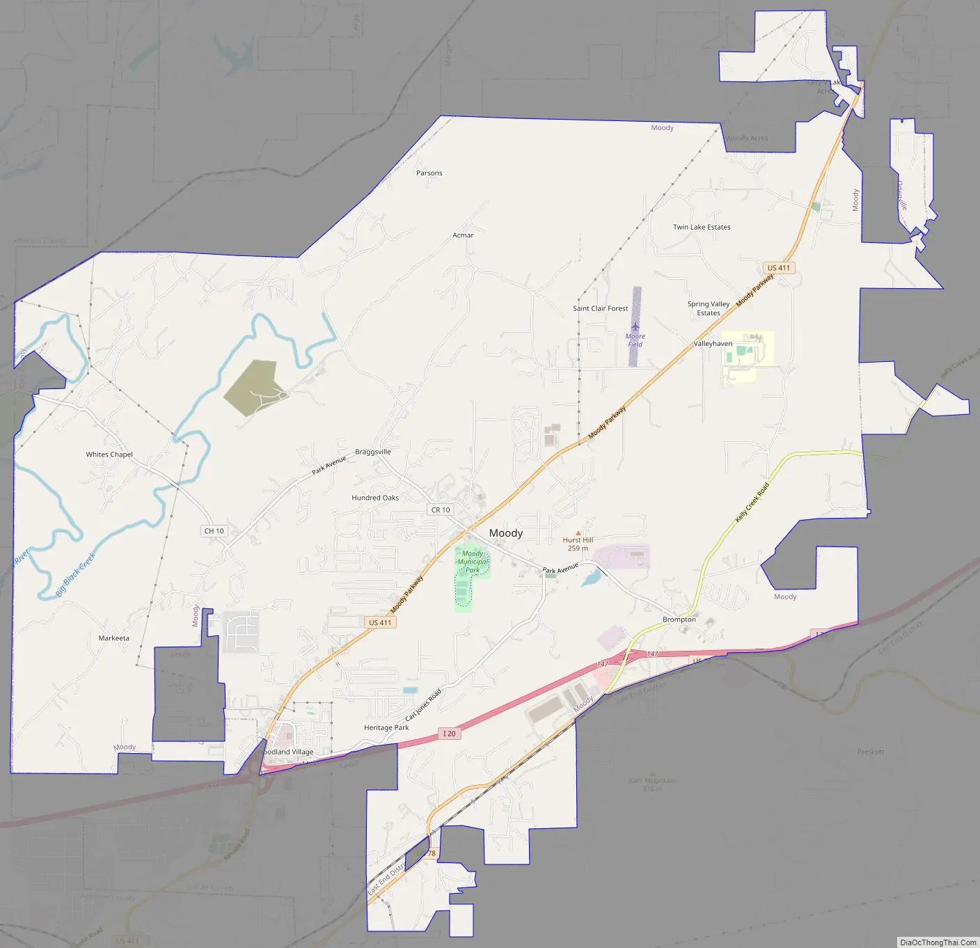
Moody Road Map
Moody city Satellite Map

Geography
Moody is located at 33°35′33″N 86°29′47″W / 33.59250°N 86.49639°W / 33.59250; -86.49639 (33.592469, -86.496369).
According to the United States Census Bureau, the town has a total area of 24.0 square miles (62 km), of which 23.9 square miles (62 km) is land and 0.1 square miles (0.26 km) (0.58%) is water.
The city is located east of Birmingham along Interstate 20, which runs through the southern part of the city. Access can be found from exits 144 and 147. Via I-20, downtown Birmingham is 22 mi (35 km) west, and Atlanta is 127 mi (204 km) east. U.S. Route 411 also passes through the city, leading northeast 23 mi (37 km) to Ashville and southwest 5 mi (8 km) to Leeds.
See also
Map of Alabama State and its subdivision:- Autauga
- Baldwin
- Barbour
- Bibb
- Blount
- Bullock
- Butler
- Calhoun
- Chambers
- Cherokee
- Chilton
- Choctaw
- Clarke
- Clay
- Cleburne
- Coffee
- Colbert
- Conecuh
- Coosa
- Covington
- Crenshaw
- Cullman
- Dale
- Dallas
- De Kalb
- Elmore
- Escambia
- Etowah
- Fayette
- Franklin
- Geneva
- Greene
- Hale
- Henry
- Houston
- Jackson
- Jefferson
- Lamar
- Lauderdale
- Lawrence
- Lee
- Limestone
- Lowndes
- Macon
- Madison
- Marengo
- Marion
- Marshall
- Mobile
- Monroe
- Montgomery
- Morgan
- Perry
- Pickens
- Pike
- Randolph
- Russell
- Saint Clair
- Shelby
- Sumter
- Talladega
- Tallapoosa
- Tuscaloosa
- Walker
- Washington
- Wilcox
- Winston
- Alabama
- Alaska
- Arizona
- Arkansas
- California
- Colorado
- Connecticut
- Delaware
- District of Columbia
- Florida
- Georgia
- Hawaii
- Idaho
- Illinois
- Indiana
- Iowa
- Kansas
- Kentucky
- Louisiana
- Maine
- Maryland
- Massachusetts
- Michigan
- Minnesota
- Mississippi
- Missouri
- Montana
- Nebraska
- Nevada
- New Hampshire
- New Jersey
- New Mexico
- New York
- North Carolina
- North Dakota
- Ohio
- Oklahoma
- Oregon
- Pennsylvania
- Rhode Island
- South Carolina
- South Dakota
- Tennessee
- Texas
- Utah
- Vermont
- Virginia
- Washington
- West Virginia
- Wisconsin
- Wyoming