Shelbyville is a city in Shelby County, Missouri, United States. The population was 518 at the 2020 census. It is the county seat of Shelby County.
| Name: | Shelbyville city |
|---|---|
| LSAD Code: | 25 |
| LSAD Description: | city (suffix) |
| State: | Missouri |
| County: | Shelby County |
| Elevation: | 768 ft (234 m) |
| Total Area: | 0.82 sq mi (2.12 km²) |
| Land Area: | 0.78 sq mi (2.01 km²) |
| Water Area: | 0.04 sq mi (0.11 km²) |
| Total Population: | 518 |
| Population Density: | 667.53/sq mi (257.75/km²) |
| ZIP code: | 63469 |
| Area code: | 573 |
| FIPS code: | 2967196 |
| GNISfeature ID: | 0726308 |
Online Interactive Map
Click on ![]() to view map in "full screen" mode.
to view map in "full screen" mode.
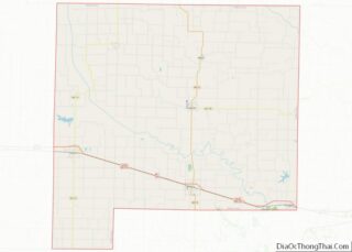
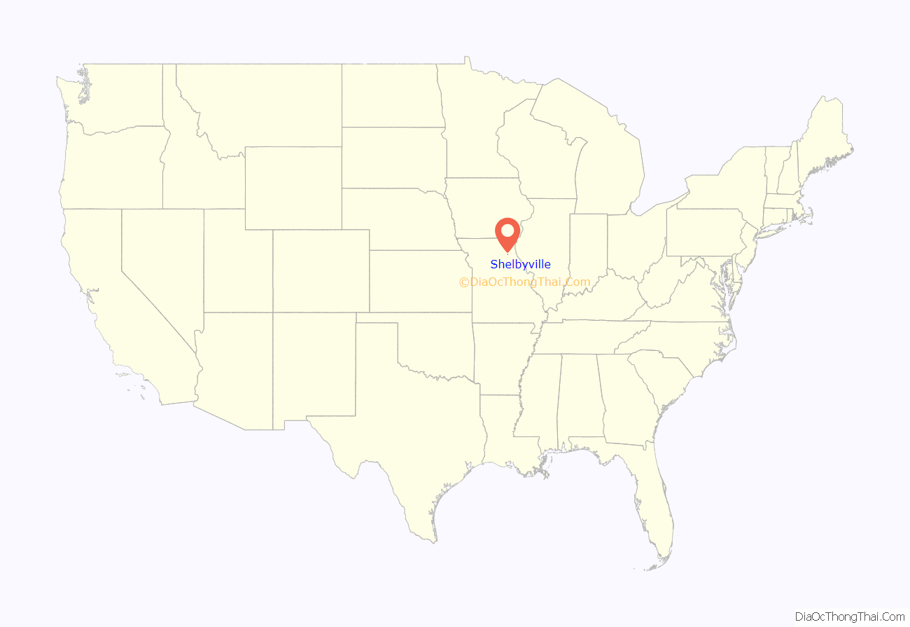
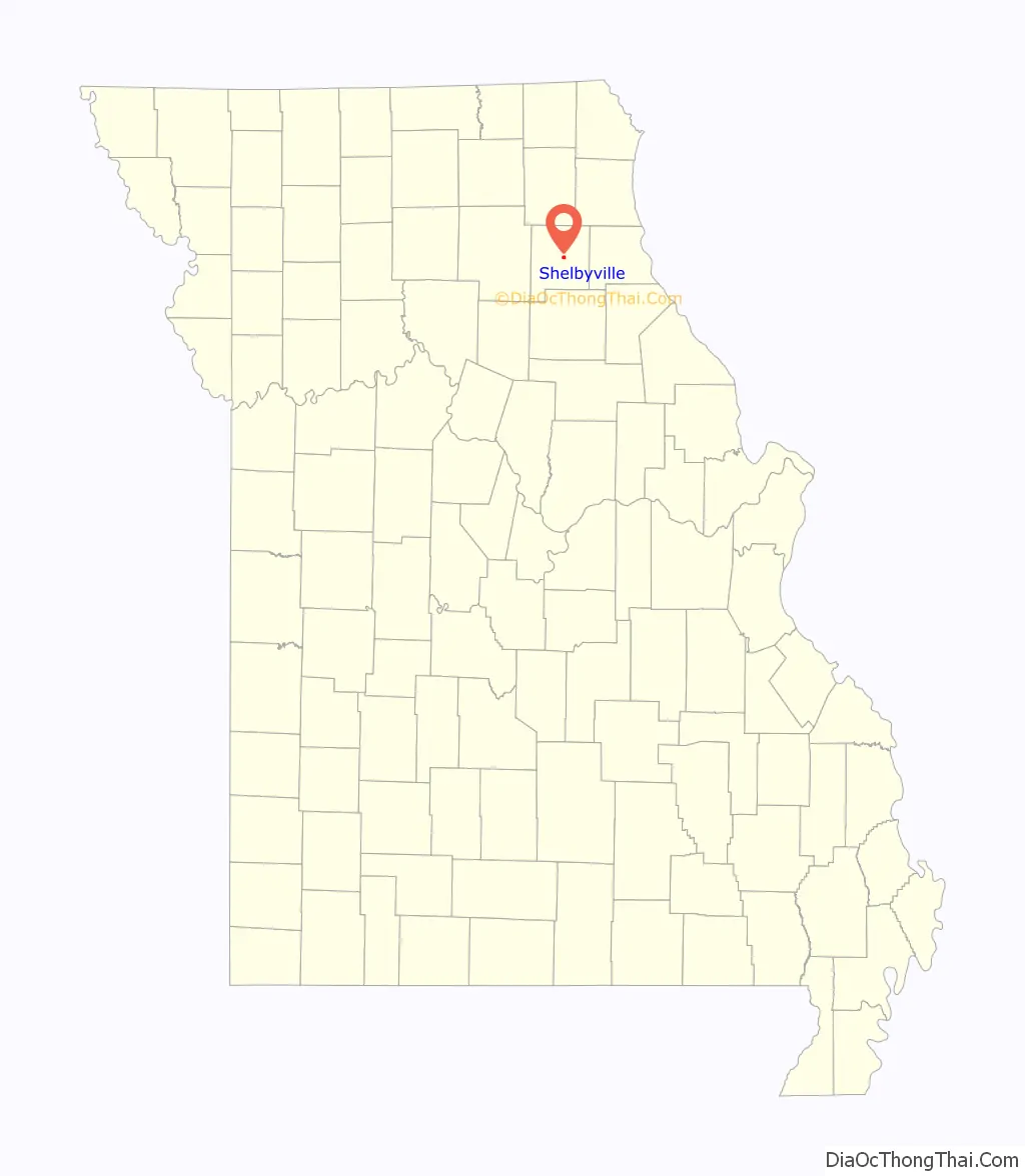
Shelbyville location map. Where is Shelbyville city?
History
Shelbyville was platted in 1836. Like the county in which it is located, Shelbyville was named for Governor Isaac Shelby of Kentucky. A post office has been in operation at Shelbyville since 1836.
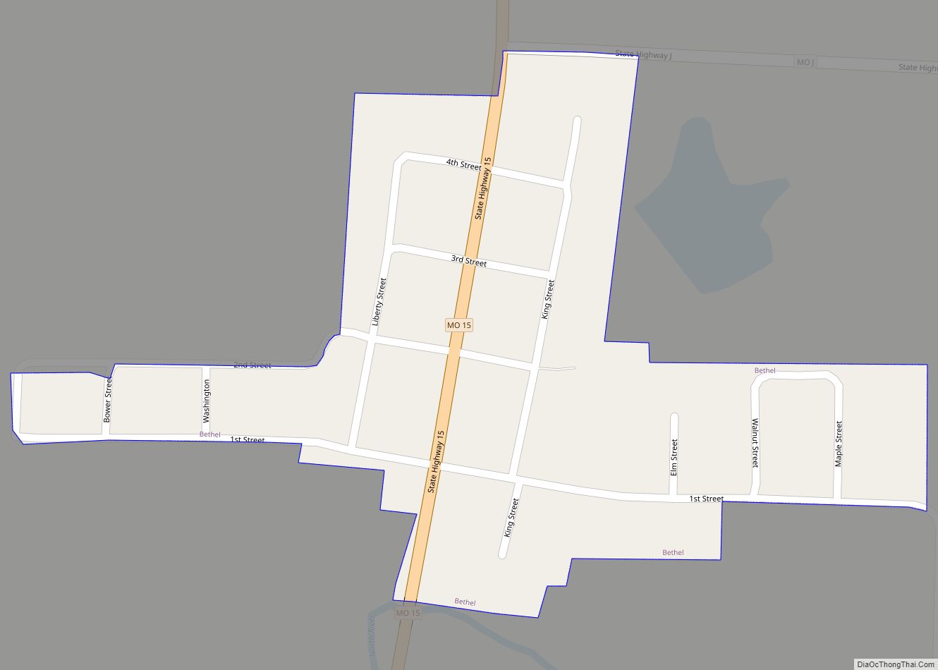
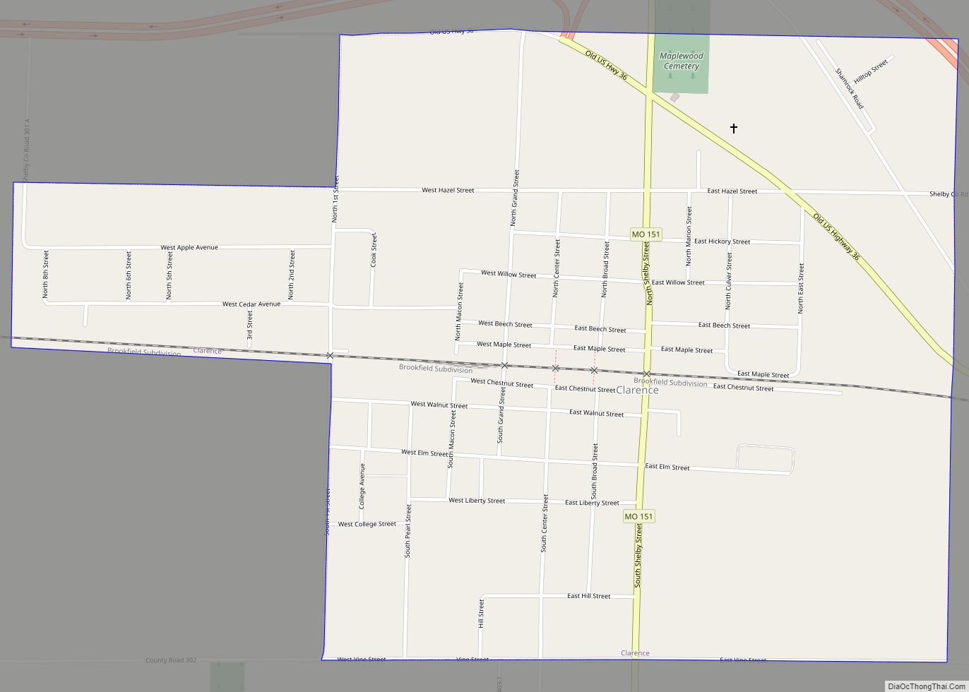
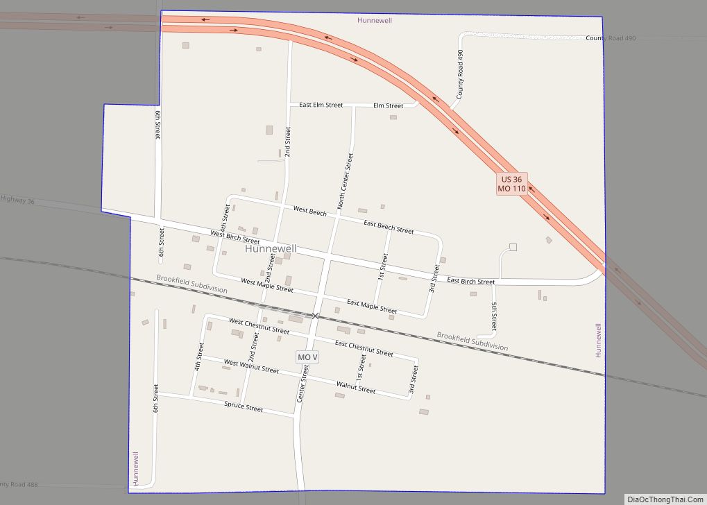
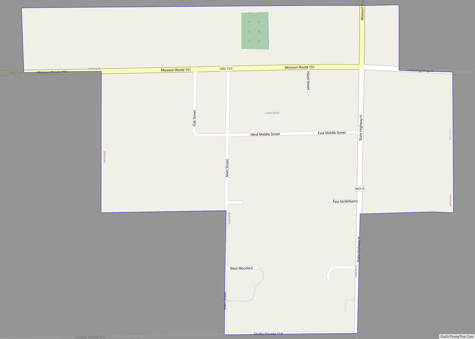
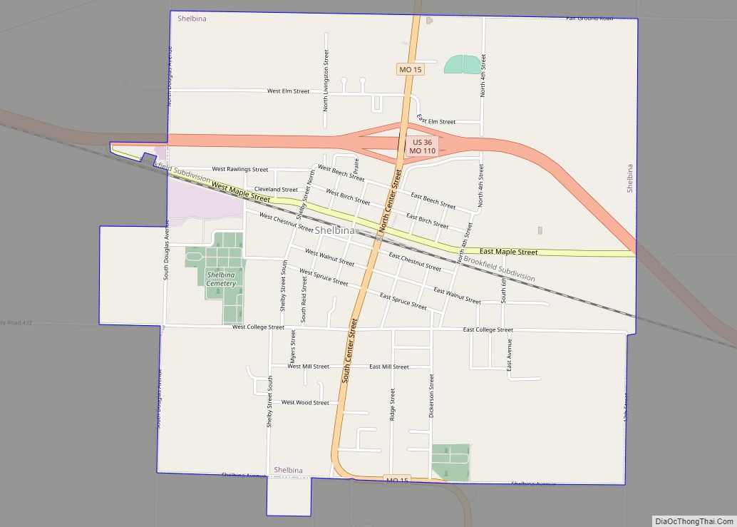
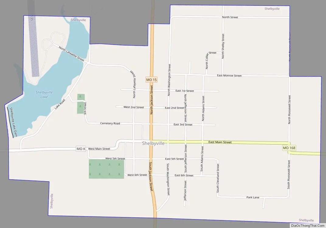
Shelbyville Road Map
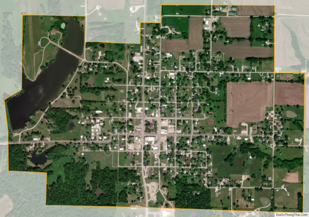
Shelbyville city Satellite Map
Geography
The city is in central Shelby County at the intersection of Missouri routes 15 and 168. Black Creek flows past the west and south sides of the city.
According to the United States Census Bureau, the city has a total area of 0.82 square miles (2.12 km), of which, 0.78 square miles (2.02 km) is land and 0.04 square miles (0.10 km) is water.
See also
Map of Missouri State and its subdivision:- Adair
- Andrew
- Atchison
- Audrain
- Barry
- Barton
- Bates
- Benton
- Bollinger
- Boone
- Buchanan
- Butler
- Caldwell
- Callaway
- Camden
- Cape Girardeau
- Carroll
- Carter
- Cass
- Cedar
- Chariton
- Christian
- Clark
- Clay
- Clinton
- Cole
- Cooper
- Crawford
- Dade
- Dallas
- Daviess
- De Kalb
- Dent
- Douglas
- Dunklin
- Franklin
- Gasconade
- Gentry
- Greene
- Grundy
- Harrison
- Henry
- Hickory
- Holt
- Howard
- Howell
- Iron
- Jackson
- Jasper
- Jefferson
- Johnson
- Knox
- Laclede
- Lafayette
- Lawrence
- Lewis
- Lincoln
- Linn
- Livingston
- Macon
- Madison
- Maries
- Marion
- McDonald
- Mercer
- Miller
- Mississippi
- Moniteau
- Monroe
- Montgomery
- Morgan
- New Madrid
- Newton
- Nodaway
- Oregon
- Osage
- Ozark
- Pemiscot
- Perry
- Pettis
- Phelps
- Pike
- Platte
- Polk
- Pulaski
- Putnam
- Ralls
- Randolph
- Ray
- Reynolds
- Ripley
- Saint Charles
- Saint Clair
- Saint Francois
- Saint Louis
- Sainte Genevieve
- Saline
- Schuyler
- Scotland
- Scott
- Shannon
- Shelby
- Stoddard
- Stone
- Sullivan
- Taney
- Texas
- Vernon
- Warren
- Washington
- Wayne
- Webster
- Worth
- Wright
- Alabama
- Alaska
- Arizona
- Arkansas
- California
- Colorado
- Connecticut
- Delaware
- District of Columbia
- Florida
- Georgia
- Hawaii
- Idaho
- Illinois
- Indiana
- Iowa
- Kansas
- Kentucky
- Louisiana
- Maine
- Maryland
- Massachusetts
- Michigan
- Minnesota
- Mississippi
- Missouri
- Montana
- Nebraska
- Nevada
- New Hampshire
- New Jersey
- New Mexico
- New York
- North Carolina
- North Dakota
- Ohio
- Oklahoma
- Oregon
- Pennsylvania
- Rhode Island
- South Carolina
- South Dakota
- Tennessee
- Texas
- Utah
- Vermont
- Virginia
- Washington
- West Virginia
- Wisconsin
- Wyoming