Shelbina /ʃɛlˈbaɪnə/ is a city in southern Shelby County, Missouri, United States. The population was 1,613 at the 2020 census.
| Name: | Shelbina city |
|---|---|
| LSAD Code: | 25 |
| LSAD Description: | city (suffix) |
| State: | Missouri |
| County: | Shelby County |
| Elevation: | 778 ft (237 m) |
| Total Area: | 2.34 sq mi (6.05 km²) |
| Land Area: | 2.34 sq mi (6.05 km²) |
| Water Area: | 0.00 sq mi (0.00 km²) |
| Total Population: | 1,613 |
| Population Density: | 690.20/sq mi (266.53/km²) |
| ZIP code: | 63468 |
| Area code: | 573 |
| FIPS code: | 2967178 |
| GNISfeature ID: | 0726302 |
Online Interactive Map
Click on ![]() to view map in "full screen" mode.
to view map in "full screen" mode.
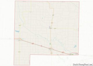
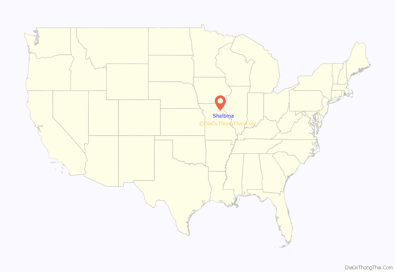
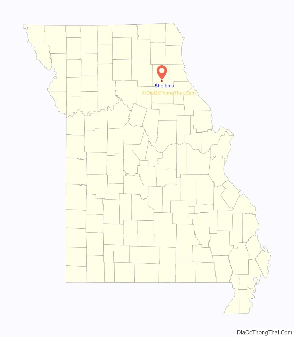
Shelbina location map. Where is Shelbina city?
History
Shelbina was platted in 1857 when the railroad was extended to that point. The name “Shelbina” is derived from Shelby County. A post office called Shelbina has been in operation since 1858.
The Benjamin House was listed on the National Register of Historic Places in 1972.
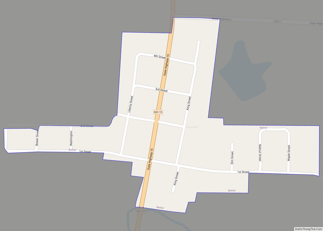
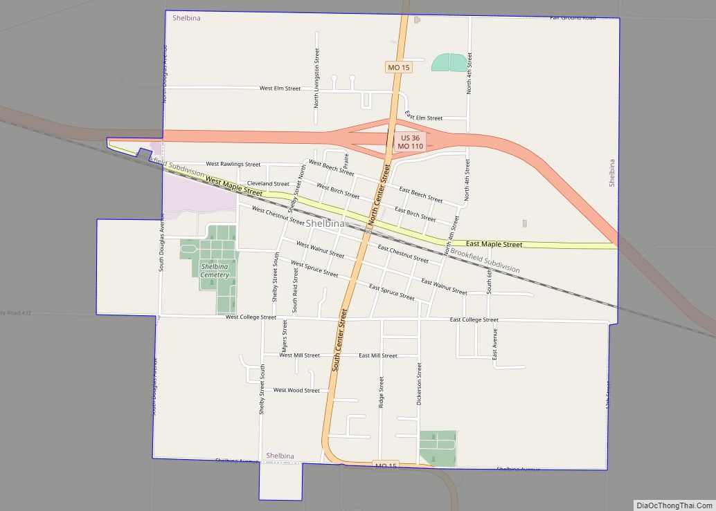
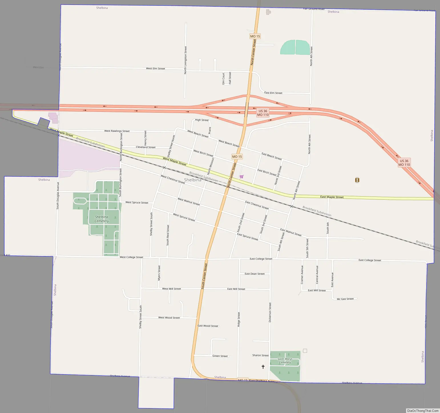
Shelbina Road Map
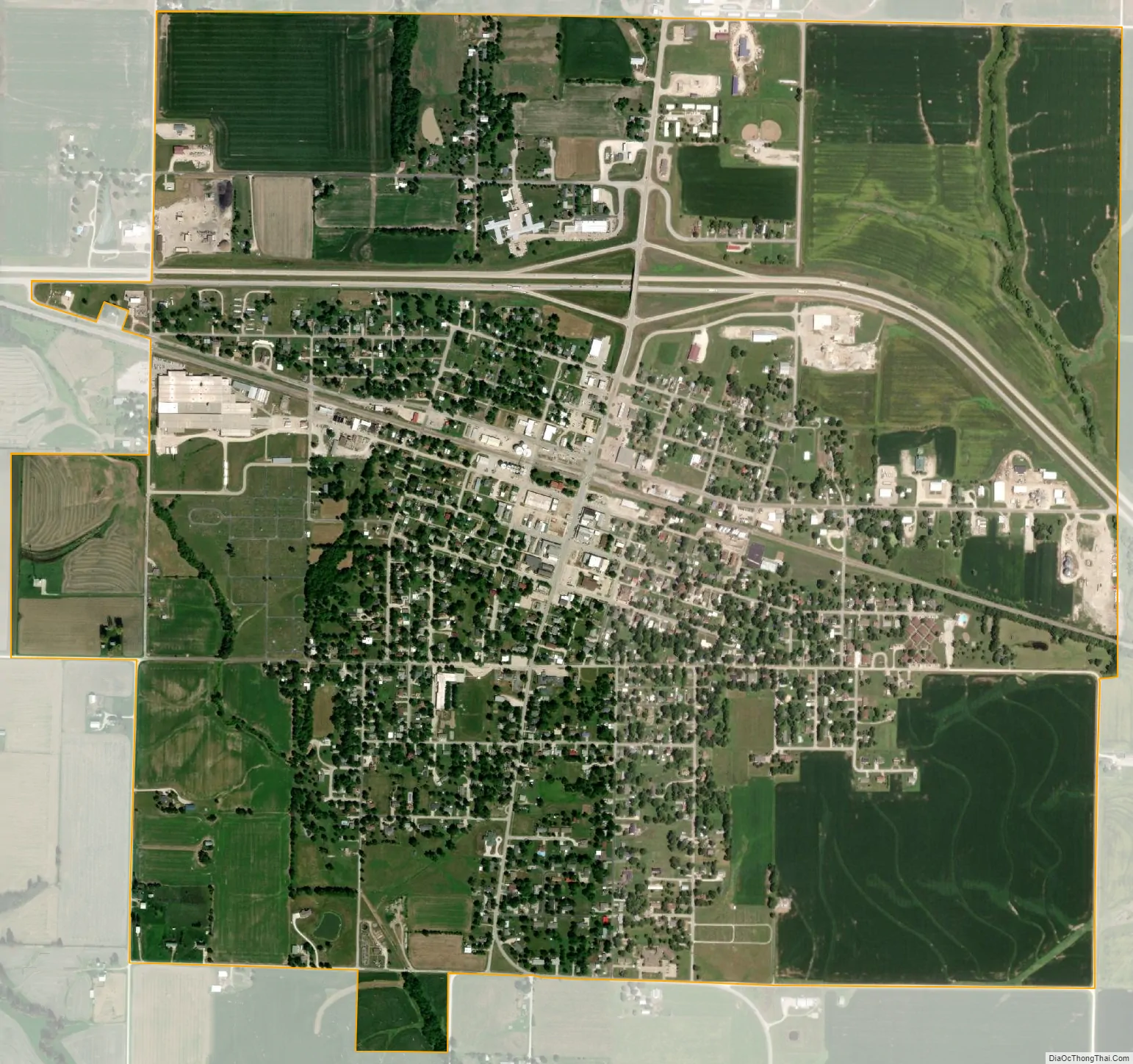
Shelbina city Satellite Map
Geography
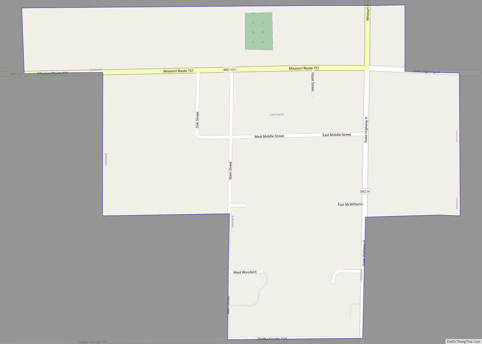
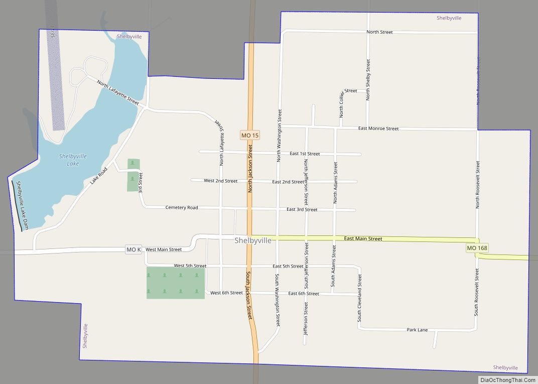
Shelbina is located in south central Shelby County at the intersection of US Route 36 and Missouri Route 15. It is two miles north of the Shelby-Monroe county line. Shelbyville is seven miles to the north along Route 15. The headwaters of Clear Creek arise just to the west of the city.
According to the United States Census Bureau, the city has a total area of 2.34 square miles (6.06 km), all land.
Climate
See also
Map of Missouri State and its subdivision:- Adair
- Andrew
- Atchison
- Audrain
- Barry
- Barton
- Bates
- Benton
- Bollinger
- Boone
- Buchanan
- Butler
- Caldwell
- Callaway
- Camden
- Cape Girardeau
- Carroll
- Carter
- Cass
- Cedar
- Chariton
- Christian
- Clark
- Clay
- Clinton
- Cole
- Cooper
- Crawford
- Dade
- Dallas
- Daviess
- De Kalb
- Dent
- Douglas
- Dunklin
- Franklin
- Gasconade
- Gentry
- Greene
- Grundy
- Harrison
- Henry
- Hickory
- Holt
- Howard
- Howell
- Iron
- Jackson
- Jasper
- Jefferson
- Johnson
- Knox
- Laclede
- Lafayette
- Lawrence
- Lewis
- Lincoln
- Linn
- Livingston
- Macon
- Madison
- Maries
- Marion
- McDonald
- Mercer
- Miller
- Mississippi
- Moniteau
- Monroe
- Montgomery
- Morgan
- New Madrid
- Newton
- Nodaway
- Oregon
- Osage
- Ozark
- Pemiscot
- Perry
- Pettis
- Phelps
- Pike
- Platte
- Polk
- Pulaski
- Putnam
- Ralls
- Randolph
- Ray
- Reynolds
- Ripley
- Saint Charles
- Saint Clair
- Saint Francois
- Saint Louis
- Sainte Genevieve
- Saline
- Schuyler
- Scotland
- Scott
- Shannon
- Shelby
- Stoddard
- Stone
- Sullivan
- Taney
- Texas
- Vernon
- Warren
- Washington
- Wayne
- Webster
- Worth
- Wright
- Alabama
- Alaska
- Arizona
- Arkansas
- California
- Colorado
- Connecticut
- Delaware
- District of Columbia
- Florida
- Georgia
- Hawaii
- Idaho
- Illinois
- Indiana
- Iowa
- Kansas
- Kentucky
- Louisiana
- Maine
- Maryland
- Massachusetts
- Michigan
- Minnesota
- Mississippi
- Missouri
- Montana
- Nebraska
- Nevada
- New Hampshire
- New Jersey
- New Mexico
- New York
- North Carolina
- North Dakota
- Ohio
- Oklahoma
- Oregon
- Pennsylvania
- Rhode Island
- South Carolina
- South Dakota
- Tennessee
- Texas
- Utah
- Vermont
- Virginia
- Washington
- West Virginia
- Wisconsin
- Wyoming