Strasburg /ˈstrɑːzbɜːrɡ/ is a town in Shenandoah County, Virginia, United States, which was founded in 1761 by Peter Stover. It is the largest town by population in the county and is known for its grassroots art culture, pottery, antiques, and American Civil War history. The population was 6,398 at the 2010 census.
| Name: | Strasburg town |
|---|---|
| LSAD Code: | 43 |
| LSAD Description: | town (suffix) |
| State: | Virginia |
| County: | Shenandoah County |
| Founded: | 1761 |
| Incorporated: | 1871 |
| Elevation: | 578 ft (176 m) |
| Total Area: | 4.11 sq mi (10.65 km²) |
| Land Area: | 4.07 sq mi (10.54 km²) |
| Water Area: | 0.04 sq mi (0.10 km²) |
| Total Population: | 6,398 |
| Population Density: | 1,639.89/sq mi (633.16/km²) |
| ZIP code: | 22657 |
| Area code: | 540 |
| FIPS code: | 5176000 |
| GNISfeature ID: | 1487663 |
| Website: | www.strasburgva.com |
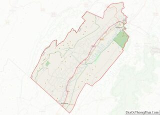
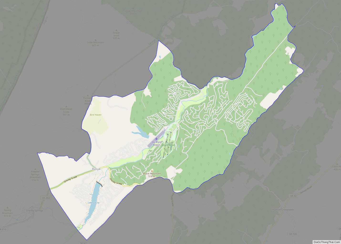
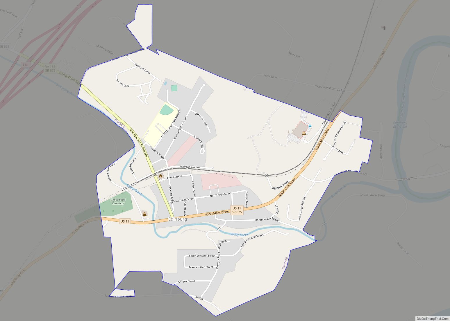
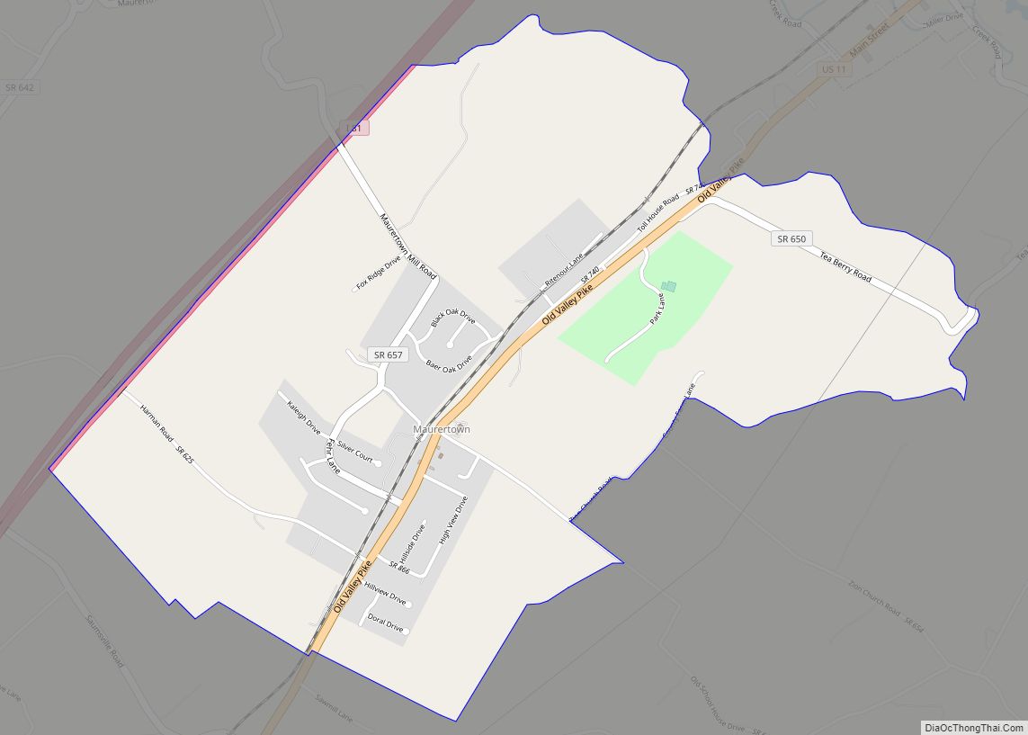
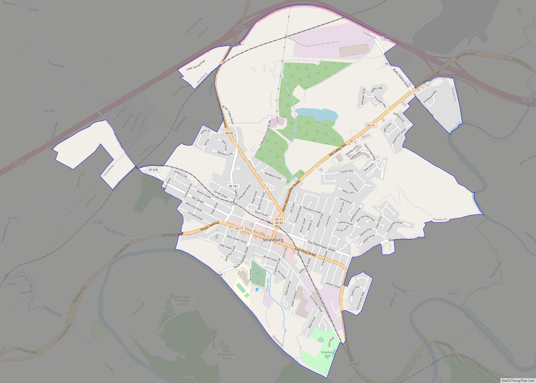
Online Interactive Map
Click on ![]() to view map in "full screen" mode.
to view map in "full screen" mode.
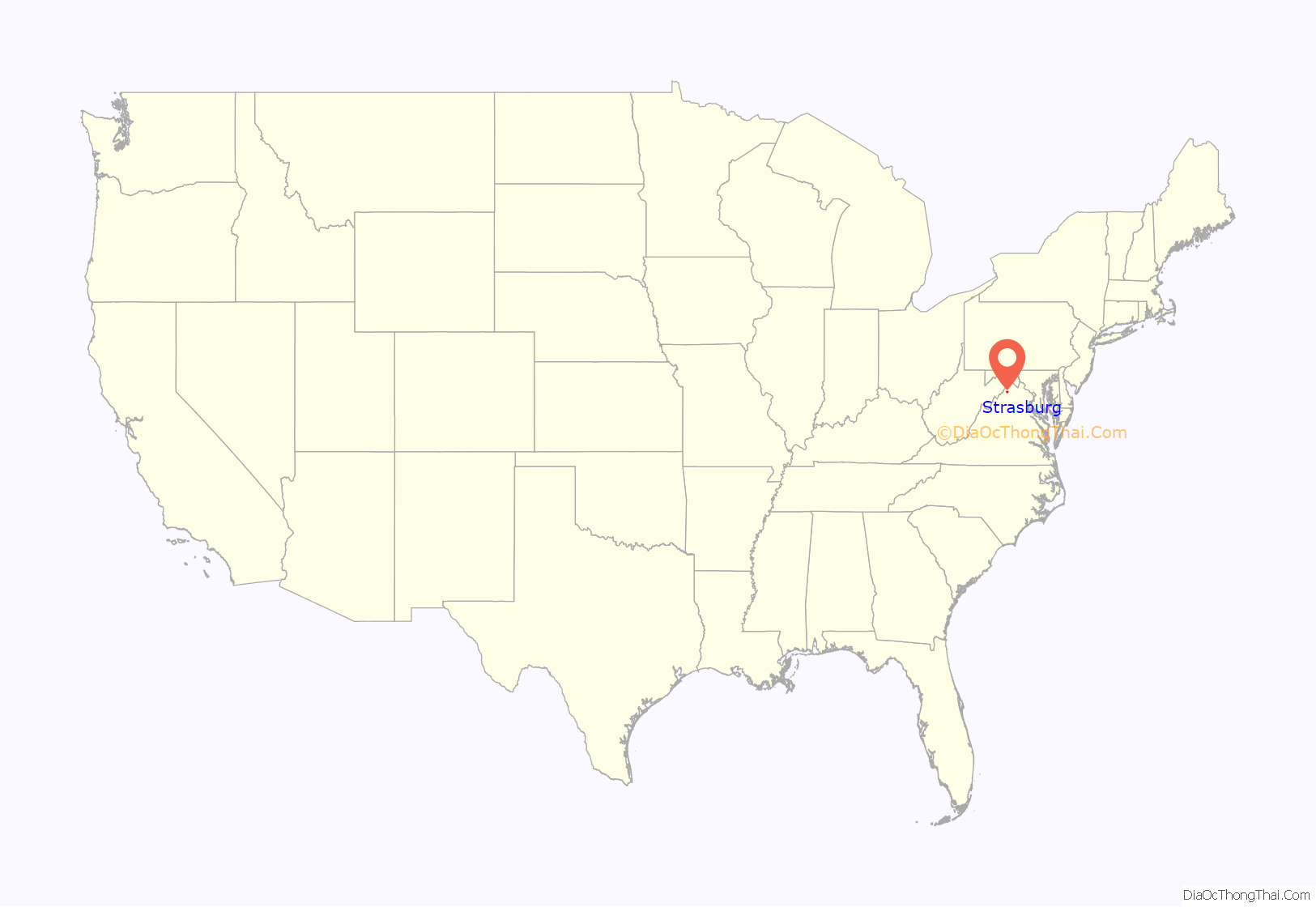
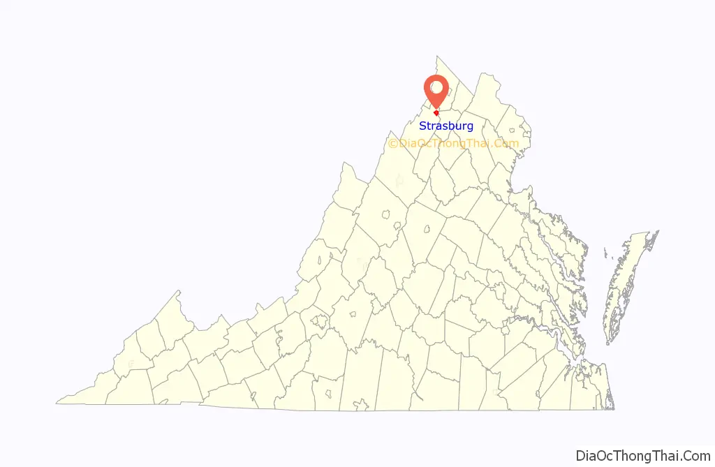
Strasburg location map. Where is Strasburg town?
History
Early settlers
German-speaking Pennsylvanians were among the first non-native settlers to arrive in the northern Shenandoah Valley and Strasburg area. The luscious greenery and fertile land were prime targets for immigrant farmers. On August 21, 1734 speculator Henry Willis was granted 2,030 acres (8.2 km) total of this land by William Gooch, Virginia’s Lieutenant Governor and Commander in Chief. Gooch wished to settle the valley to create a buffer between Native American tribes and the rest of the Virginia colony. During the summer of 1735, Willis sold his entire property to Jacob Funk. Jacob in return, partitioned his new purchase, reselling a part of it to his brother John.
In contrast to the English culture found east of the Blue Ridge, Strasburg was settled with family farms and towns rather than plantations; few slaves; and Germanic language, religions, architecture and decorative arts. The thriving agricultural community that developed in the fertile bottomland along the banks of the Shenandoah River boasted scenic views of the Massanutten and Allegheny Mountains. Later nicknamed “Pot Town,” Strasburg also became a center for the production of both utilitarian and fancy earthenware and stoneware pottery. During the 19th and 20th centuries, many residents worked for the railroad industry and at limestone quarries; after WW II, other industries came to Strasburg, including paper and auto parts manufacture. Today Strasburg boasts a growing service economy, museums, eateries, numerous antique stores and other shops.
Founder
Peter Stover (Petrus Stauffer) is considered the founder of the town of Strasburg. Stover was born in 1715 to a German-Swiss father, Christian Stauffer I., in Mannheim, Baden-Württemberg, Germany. Stauffer took his family to America in 1718, to gain religious freedom, and settled in Montgomery County, Pennsylvania where he would live out his entire life.
His son Peter migrated south to Virginia by 1730 and to the Shenandoah Valley as early as 1739. On May 2, 1749 Stover purchased 483 acres (1.95 km) of land from Jacob Funk, his future father-in-law. The purchase was divided into smaller plots for sale to other settlers and a village was informally established.
Stover applied for a town charter in November 1761 giving the town the official name of Strasburg. The name was taken from Strasbourg, the capital of Alsace, France. Some called the area Staufferstadt, the German name for Stoverstown. Ten trustees were named; William Miller, Matthew Harrison, Jacob Bowman, Valentine Smith, Charles Buck, Peter Stover, Isaac Hite, Leonard Baltice, John Funk, and Philip Huffman (Hoffman).
Peter eventually married Frainey Funk, before he died August 13, 1799 at the age of 84. He was survived by eight children. Being a philanthropist for most of his life, Stover’s will left land and $10,000 to the community to establish schools. A monument resides in Strasburg’s Riverview Cemetery honoring Peter Stover, but the whereabouts of his grave is unknown.
Recent growth
Strasburg has experienced rapid growth in recent time, mainly along its northern corridor, due to Washington D.C. being located approximately 80 miles away.
Strasburg Road Map
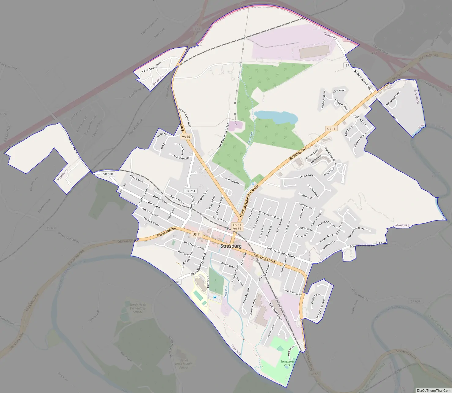
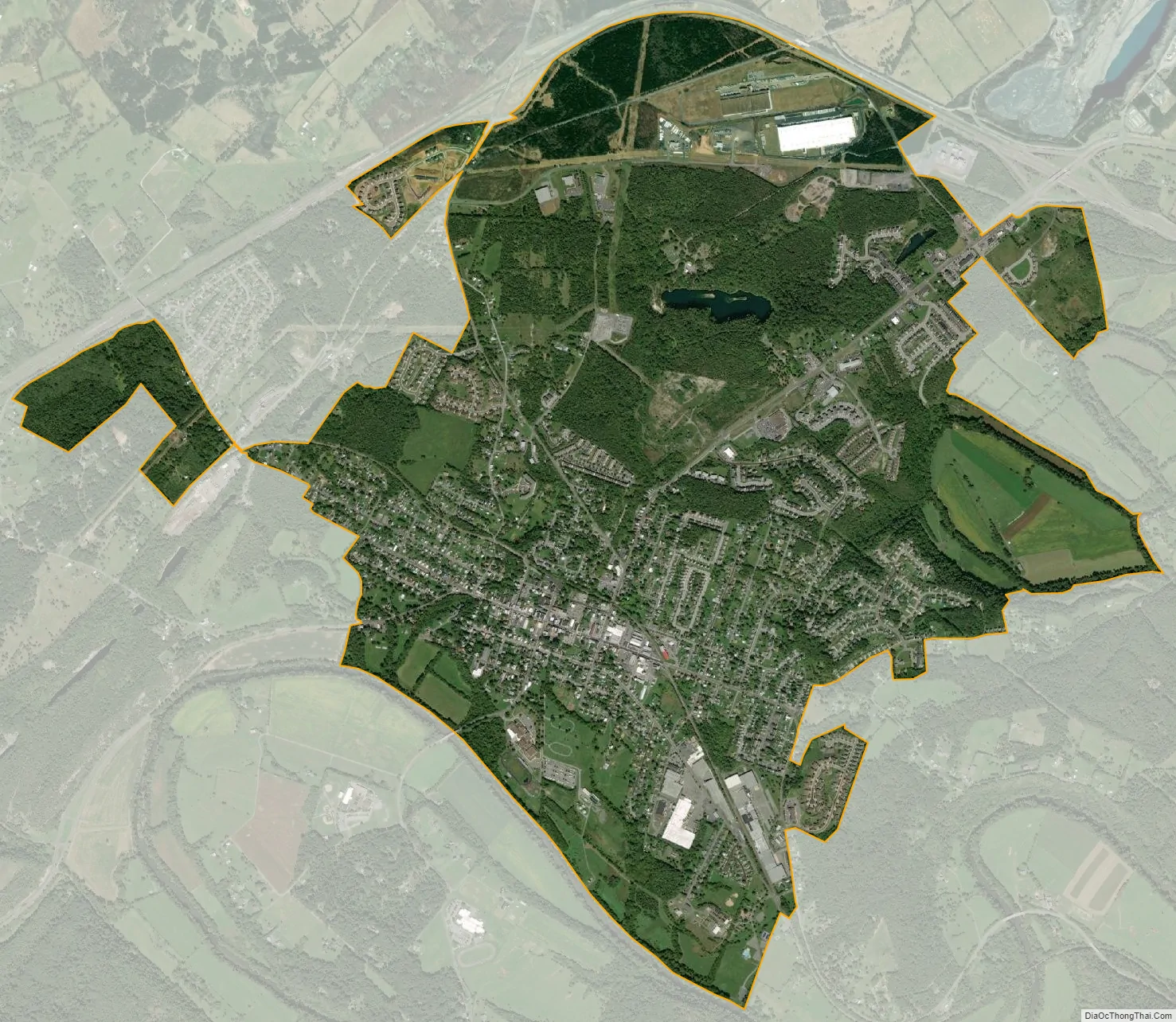
Strasburg city Satellite Map
Geography
Strasburg is located at 38°59′26″N 78°21′31″W / 38.990550°N 78.358615°W / 38.990550; -78.358615 (38.990550, −78.358615) in the northern end of the Shenandoah Valley. The area is surrounded by the natural boundaries of the Massanutten and Allegheny mountains, as well as the Shenandoah River. Cedar Creek and Belle Grove National Historical Park is located in and around Strasburg.
According to the United States Census Bureau, the town has a total area of 3.2 square miles (8.2 km), of which, 3.2 square miles (8.2 km) of it is land and 0.04 square miles (0.1 km) of it (0.63%) is water. The elevation of the area is 578 ft (176 m).
Climate
Strasburg has a humid subtropical climate(Cfa), with cool winters and hot, humid summers. The average low in January, the coldest month, is 20F. The average high in July, the hottest month, is 85F. Average annual snowfall is 26 inches, while average annual precipitation totals 39.6 inches.
See also
Map of Virginia State and its subdivision:- Accomack
- Albemarle
- Alexandria
- Alleghany
- Amelia
- Amherst
- Appomattox
- Arlington
- Augusta
- Bath
- Bedford
- Bedford City
- Bland
- Botetourt
- Bristol
- Brunswick
- Buchanan
- Buckingham
- Buena Vista
- Campbell
- Caroline
- Carroll
- Charles City
- Charlotte
- Charlottesville
- Chesapeake
- Chesterfield
- Clarke
- Clifton Forge City
- Colonial Heights
- Covington
- Craig
- Culpeper
- Cumberland
- Danville
- Dickenson
- Dinwiddie
- Emporia
- Essex
- Fairfax
- Fairfax City
- Falls Church
- Fauquier
- Floyd
- Fluvanna
- Franklin
- Frederick
- Fredericksburg
- Galax
- Giles
- Gloucester
- Goochland
- Grayson
- Greene
- Greensville
- Halifax
- Hampton
- Hanover
- Harrisonburg
- Henrico
- Henry
- Highland
- Hopewell
- Isle of Wight
- James City
- King and Queen
- King George
- King William
- Lancaster
- Lee
- Lexington
- Loudoun
- Louisa
- Lunenburg
- Lynchburg
- Madison
- Manassas
- Manassas Park
- Martinsville
- Mathews
- Mecklenburg
- Middlesex
- Montgomery
- Nelson
- New Kent
- Newport News
- Norfolk
- Northampton
- Northumberland
- Norton
- Nottoway
- Orange
- Page
- Patrick
- Petersburg
- Pittsylvania
- Poquoson
- Portsmouth
- Powhatan
- Prince Edward
- Prince George
- Prince William
- Pulaski
- Radford
- Rappahannock
- Richmond
- Roanoke
- Roanoke City
- Rockbridge
- Rockingham
- Russell
- Salem
- Scott
- Shenandoah
- Smyth
- Southampton
- Spotsylvania
- Stafford
- Staunton
- Suffolk
- Surry
- Sussex
- Tazewell
- Virginia Beach
- Warren
- Washington
- Waynesboro
- Westmoreland
- Williamsburg
- Winchester
- Wise
- Wythe
- York
- Alabama
- Alaska
- Arizona
- Arkansas
- California
- Colorado
- Connecticut
- Delaware
- District of Columbia
- Florida
- Georgia
- Hawaii
- Idaho
- Illinois
- Indiana
- Iowa
- Kansas
- Kentucky
- Louisiana
- Maine
- Maryland
- Massachusetts
- Michigan
- Minnesota
- Mississippi
- Missouri
- Montana
- Nebraska
- Nevada
- New Hampshire
- New Jersey
- New Mexico
- New York
- North Carolina
- North Dakota
- Ohio
- Oklahoma
- Oregon
- Pennsylvania
- Rhode Island
- South Carolina
- South Dakota
- Tennessee
- Texas
- Utah
- Vermont
- Virginia
- Washington
- West Virginia
- Wisconsin
- Wyoming