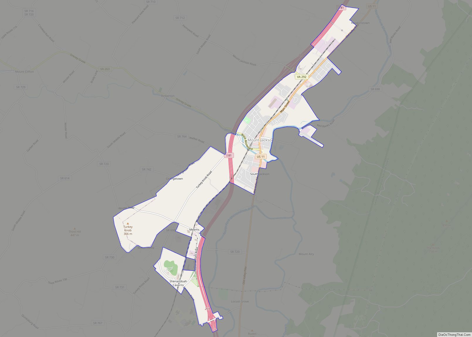
Mount Jackson is a town in Shenandoah County, Virginia, United States. The population was 1,994 at the 2010 census.
For highway travelers passing by, Mount Jackson is easily identified from I-81 exit 273 by the water tower painted as a basket of apples, which was recently repainted. For those exploring off the highway, the town has history as a commercial and railroad hub in the region, with rich Civil War heritage and a historic district listed on the National Register of Historic Places.
| Name: | Mount Jackson town |
|---|---|
| LSAD Code: | 43 |
| LSAD Description: | town (suffix) |
| State: | Virginia |
| County: | Shenandoah County |
| Elevation: | 909 ft (277 m) |
| Total Area: | 3.84 sq mi (9.93 km²) |
| Land Area: | 3.81 sq mi (9.87 km²) |
| Water Area: | 0.03 sq mi (0.07 km²) |
| Total Population: | 1,994 |
| Population Density: | 555.91/sq mi (214.65/km²) |
| ZIP code: | 22842 |
| Area code: | 540 |
| FIPS code: | 5153992 |
| GNISfeature ID: | 1498404 |
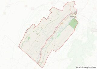
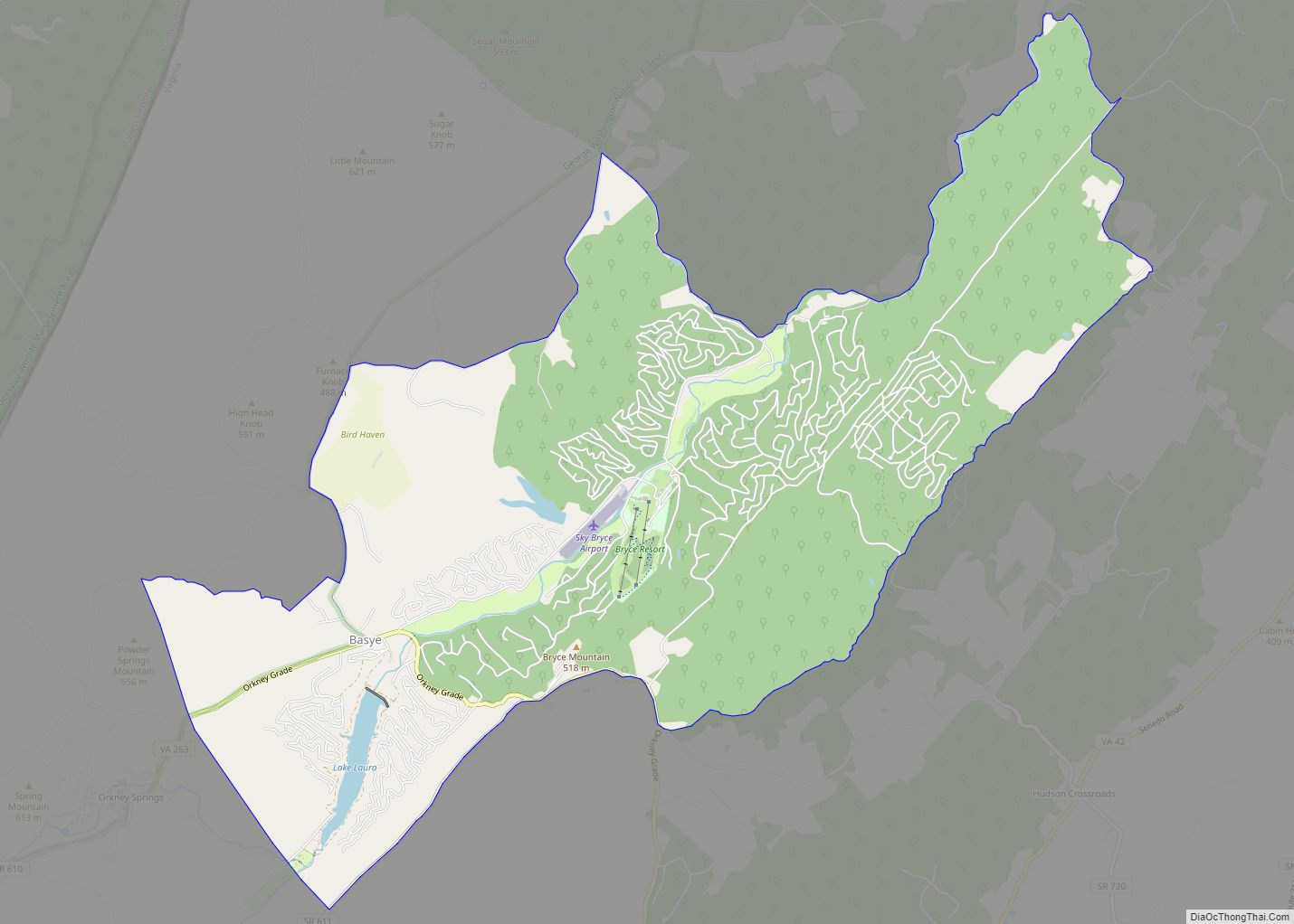
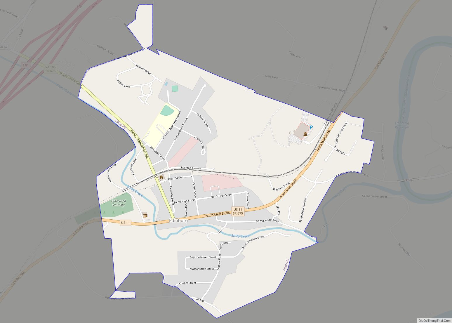
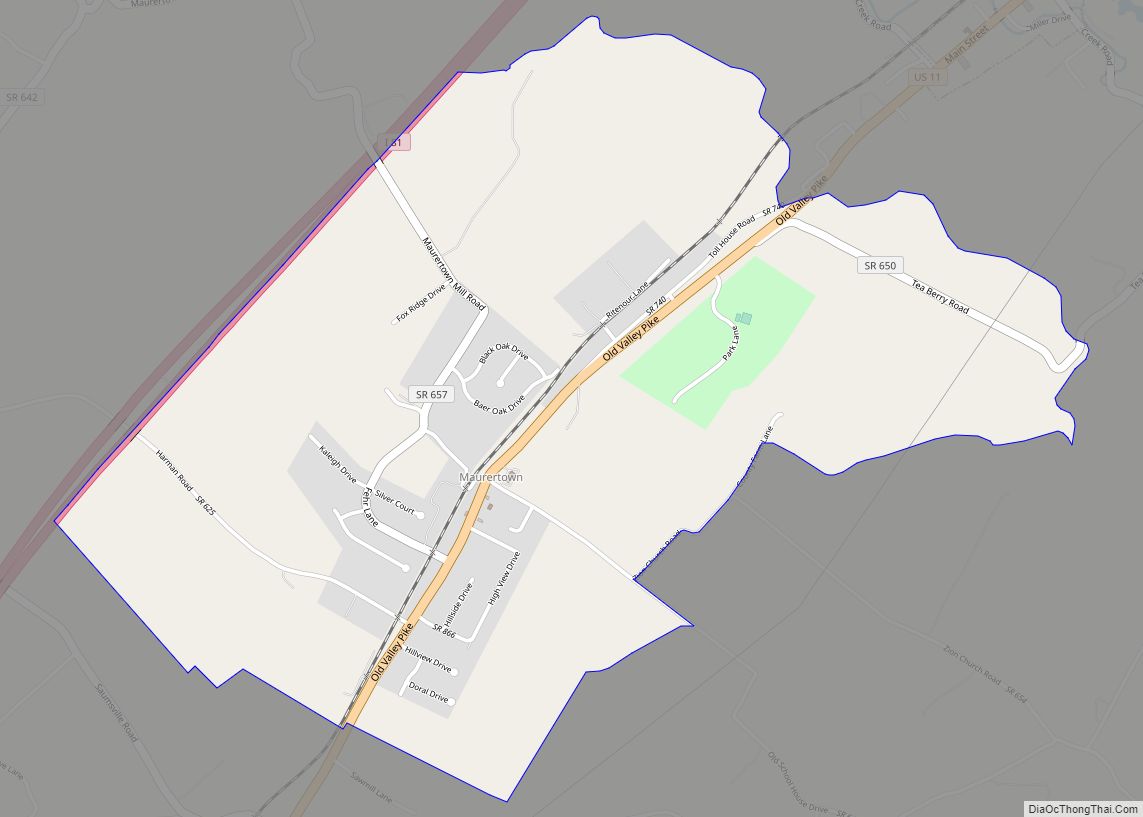
Online Interactive Map
Click on ![]() to view map in "full screen" mode.
to view map in "full screen" mode.
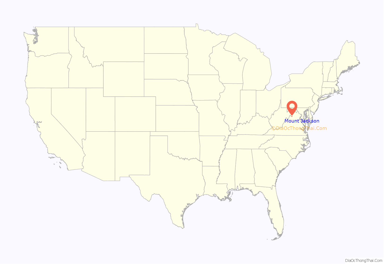
Mount Jackson location map. Where is Mount Jackson town?

History
in 1739, attracted by rich valley land and abundant water supply, Benjamin Allen purchased a 400-acre tract at the confluence of Mill Creek and the North Fork of the Shenandoah River and established a grist mill by 1746. Soon other settlers and small mills followed. The village was known as Mount Pleasant. On January 28, 1826, an act of the General Assembly of Virginia changed the name of the village in honor of General Andrew Jackson, the hero of the War of 1812.
Mount Jackson became relatively wealthy because of its location, about halfway between Winchester and Staunton along the Valley Turnpike through the Shenandoah Valley, at a place where a tributary, Mill Creek, fed into the North Fork of the Shenandoah River. This provided power for milling enterprises to serve the local farms. Another major road, Howard’s Lick Turnpike, was started in 1856, originating in town heading towards mountainous western Virginia. Generating further development, Mt. Jackson was the original terminus of the spur of the Manassas Gap Railroad that extended from Strasburg, Virginia. This railroad was a key conduit for the crops and produce of the region to go to market further east. The connection to Mt. Jackson was completed in 1859, but the Civil War stopped further construction so the line remained a spur with Mt. Jackson the endpoint. It was not until 1868, after the Baltimore & Ohio bought the line and repaired it from war damage, that the rail line was completed through to Harrisonburg. Mt. Jackson became a small but significant rail entrepot for grain, apples, and livestock, continuing to prosper as a mill and railroad town during the late nineteenth and early twentieth centuries.
Civil War era
Company G of the 33rd Regiment of Virginia Infantry, part of the famous “Stonewall Brigade” under command of General Thomas “Stonewall” Jackson, was largely recruited in Mt. Jackson and vicinity.
The town saw conflict during the Civil War, incurred damage and was occupied by soldiers of both armies at various times. During his Valley Campaign of 1862, General Thomas “Stonewall” Jackson made one of his headquarters just south of town at a manor on Rude’s Hill, about 3 miles south of Mt. Jackson. As a highly defensible high ground position, commanding the Valley Pike, the North Fork of the Shenandoah River and Meem’s Bottom and approaches south, Rude’s Hill had a particularly active role in the Civil War, occupied, encamped on and contested by both armies from 1862 to 1865.
On November 16–18, 1863 Col. William H. Boyd’s Union cavalry reconnoitered from West Virginia to the area of the Valley Pike. The Federal troopers skirmished at Woodstock, Edinburg and Mt. Jackson. North of Mt. Jackson the Federals encountered Confederate cavalry under command of Maj. Robert White. White. The rebel troopers retreated through Mt. Jackson fighting, crossing the bridges through Meems Bottom and to the defensible position on Rude’s Hill. Realizing that White’s horse artillery could sweep the bridge from the hill, Boyd withdrew from the skirmish at Rude’s Hill and withdrew to Woodstock, pursued by Confederate cavalry. Boyd’s reconnaissance-in-force then returned to West Virginia. Losses from the Mount Jackson cavalry engagement were light on both sides.
Troop movements and engagements in and near the town were particularly active in May 1864, around the Battle of New Market, 7 miles from Mt. Jackson. On May 14 a delaying action was fought at Rude’s Hill by the Confederate 18th Virginia Cavalry, under the overall command of Col. John Imboden. The Confederate cavalry slowed the Union advance, enabling Gen. John Breckinridge to gather the main body of his Confederate forces at New Market, about 4 miles away. After losing the battle on May 15, Union General Franz Sigel managed to organize a rearguard on Rude’s Hill, with infantry east of the turnpike, some cavalry west of the road and the artillery behind the line. Due to the exhaustion of the men and low ammunition, Sigel decided to retreat across the Meems bottomland and the North Fork of the Shenandoah River to Mount Jackson. Breckinridge at the same time, concerned the Federals would make a stand on Rude’s Hill, advanced his cavalry and artillery to the crest of Rude’s Hill where they shelled and harassed Sigel’s retreating Federals in Meems Bottom. The Union army managed to cross Mill Creek at Mt. Jackson and burned the bridge that spanned the creek to Mt. Jackson before the Confederates could catch up.
Rude’s Hill was also the site of a Confederate stand following their demoralizing and humiliating defeat on September 22, 1864 at the Battle of Fisher’s Hill, about 23 miles north of Mt. Jackson. Gen. Jubal Early rallied and deployed his remaining Confederate infantry in line across the top of the hill on November 22, 1864 to check the advance of two divisions of Union cavalry following them. The Union cavalry charged the Confederate line but were repulsed in a sharp action. Early then retreated from Rude’s Hill to Harrisonburg, eventually retreating to the entrance of the Shenandoah Valley at Browns Gap in the Blue Ridge.
In a predawn raid on 3 Oct. 1864, Confederate Captain John McNeill led approximately 50 Confederate rangers against roughly 100 Union troopers of the 8th Ohio Cavalry Regiment guarding a bridge from Meems Bottom, a strategic crossing of the Valley Turnpike over the North Fork of the Shenandoah River to Mt. Jackson. The attack lasted just fifteen minutes with most of the Union cavalry captured but McNeill, one of the best-known and feared Confederate partisan raiders as leader of McNeill’s Rangers, was mortally wounded. He was taken to the house on Rude’s Hill, where his identity was later discovered by Union General Philip Sheridan’s troops. He was later secreted away by a band of Confederates after the Federals had temporarily left, thinking him to sick to move. McNeill was taken by the Confederates to Harrisonburg where he died on November 10.
In October 1864, as part of Union General Phil Sheridan’s 1864 Valley Campaign aimed at destroying anything of potential military value, Mt. Jackson’s mill was obliterated. Towards the end of the war, Rude’s Hill was also the scene of a cavalry skirmish when Confederate Brigadier General Thomas Rosser’s troopers attacked Union troops guarding Confederate prisoners on March 7, 1865.
Outside of troop movements or significant engagements, Civil War skirmishes were recorded as happening at Mt. Jackson on March 25, 1862; June 3, 6 and 16, 1862; November 18, 1863; September 23–24, 1864; October 3, 1864; and March 7, 1865.
As the southern terminus of a north–south railroad line connecting to Northern Virginia, Mt. Jackson was an ideal location for military hospitals and became a center for military medical treatment, ultimately used by both sides in the conflict. A Confederate hospital was built in Mt. Jackson along the Manassas Gap Railroad in 1861, to which wounded and sick were to be transported by rail from the Confederate Army of Northern Virginia. Dr. Andrew Russell Meem, a graduate of Princeton University and a native of Mt. Jackson, ran the hospital and the land was donated by Col. Levi Rinker, a large slaveowner and one of the wealthiest families in the valley. The hospital, intended as a wayside hospital for intermediate care not a permanent treatment facility for badly wounded, consisted of three two story buildings and could accommodate 500 patients, a mixture of wounded soldiers and those sick from disease. The hospital functioned nearly continuously throughout the war, attending to wounded from the battles of Antietam, Gettysburg as well as the Shenandoah Valley campaigns. In addition, with shifting control of the town some Union soldiers were treated at the hospital and at other makeshift hospitals in the town, including Union Church. A Confederate cemetery was established across from the hospital, directly along the tracks of the railroad. At the end of the war in 1865, Union troops tore down the hospital, using the lumber to build a federal occupation installation on Rude’s Hill, 3 miles south of Mt. Jackson. This post was removed in 1875 when the Reconstruction era ended. The Confederate cemetery is all that visibly remains of the hospital today in the town of Mt. Jackson.
Historic buildings
One of the most notable landmarks in Mt. Jackson, Virginia is the little red brick Union Church in the center of town, built circa 1825, one of the oldest structures in the town. In 1822 an early settler bequeathed to the town a lot to build a nondenominational church for the use of any Christian congregations in the area. A frame church was originally erected on the site, but was replaced by the present brick structure around 1825. The church was used by both sides during the Civil War, including use as a hospital, with etchings on the walls by passing soldiers. Daniel Grey, a Revolutionary War soldier, lays buried here. Many of the most prominent early citizens of the area lay at rest in the church yard. Union Church is on the National Register of Historic Places.
The Mount Jackson Historic District encompasses 125 buildings, and contributing structures in the town. This includes a variety of commercial, residential, and institutional buildings dating primarily from the late-19th to the early-20th century, the era of the town’s greatest prosperity. They are in a variety of popular architectural styles including Gothic Revival, Federal, and Queen Anne. Other notable buildings include the Stoneburner House, Tisinger House, S. P. Lonas House, Brill Building, Lonas Store, former Peoples Bank (c. 1904), Mt. Jackson Volunteer Fire Department (1936), Mt. Jackson Theatre Building (1938), St. Andrew’s Episcopal Church (1876), Mt. Jackson Methodist Episcopal Church (1884), and Triplett Middle School (1925). The historic district was listed on the National Register of Historic Places in 1993.
The Bauserman Farm, Meems Bottom Covered Bridge and J.W.R. Moore House are listed on the National Register of Historic Places.
Mount Jackson Road Map
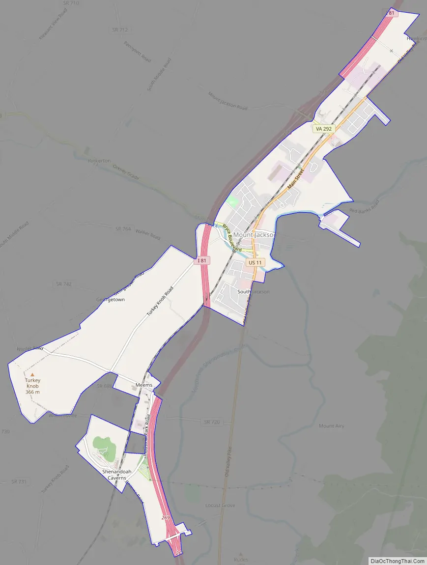
Mount Jackson city Satellite Map

Geography
Mount Jackson, in the heart of the Shenandoah Valley, is in the southern part of Shenandoah County, Virginia at 38°45′00″N 78°38′15″W / 38.749950°N 78.637638°W / 38.749950; -78.637638 (38.749950, -78.637638). The town is located just to the west of Short Mountain, a prominent ridge of the Massanutten Mountain Ridge. Short Mountain is seven miles in length, from Mount Jackson on the south end to Edinburg on the north.
The most prominent feature of Short Mountain is “The Knob”, a rocky top barren at the south end of the mountain, an iconic landmark overlooking Mt. Jackson, the image of which is part of the town’s official seal. When the Knob was threatened with private development, The Conservation Fund and Town of Mount Jackson worked together to secure $80,000 of funding to preserve it, purchasing it in January 2020 and conveying its 91 acres to the Forest Service to be part of the George Washington National Forest.
According to the United States Census Bureau, the town has a total area of 1.2 square miles (3.2 km), all of it land.
See also
Map of Virginia State and its subdivision:- Accomack
- Albemarle
- Alexandria
- Alleghany
- Amelia
- Amherst
- Appomattox
- Arlington
- Augusta
- Bath
- Bedford
- Bedford City
- Bland
- Botetourt
- Bristol
- Brunswick
- Buchanan
- Buckingham
- Buena Vista
- Campbell
- Caroline
- Carroll
- Charles City
- Charlotte
- Charlottesville
- Chesapeake
- Chesterfield
- Clarke
- Clifton Forge City
- Colonial Heights
- Covington
- Craig
- Culpeper
- Cumberland
- Danville
- Dickenson
- Dinwiddie
- Emporia
- Essex
- Fairfax
- Fairfax City
- Falls Church
- Fauquier
- Floyd
- Fluvanna
- Franklin
- Frederick
- Fredericksburg
- Galax
- Giles
- Gloucester
- Goochland
- Grayson
- Greene
- Greensville
- Halifax
- Hampton
- Hanover
- Harrisonburg
- Henrico
- Henry
- Highland
- Hopewell
- Isle of Wight
- James City
- King and Queen
- King George
- King William
- Lancaster
- Lee
- Lexington
- Loudoun
- Louisa
- Lunenburg
- Lynchburg
- Madison
- Manassas
- Manassas Park
- Martinsville
- Mathews
- Mecklenburg
- Middlesex
- Montgomery
- Nelson
- New Kent
- Newport News
- Norfolk
- Northampton
- Northumberland
- Norton
- Nottoway
- Orange
- Page
- Patrick
- Petersburg
- Pittsylvania
- Poquoson
- Portsmouth
- Powhatan
- Prince Edward
- Prince George
- Prince William
- Pulaski
- Radford
- Rappahannock
- Richmond
- Roanoke
- Roanoke City
- Rockbridge
- Rockingham
- Russell
- Salem
- Scott
- Shenandoah
- Smyth
- Southampton
- Spotsylvania
- Stafford
- Staunton
- Suffolk
- Surry
- Sussex
- Tazewell
- Virginia Beach
- Warren
- Washington
- Waynesboro
- Westmoreland
- Williamsburg
- Winchester
- Wise
- Wythe
- York
- Alabama
- Alaska
- Arizona
- Arkansas
- California
- Colorado
- Connecticut
- Delaware
- District of Columbia
- Florida
- Georgia
- Hawaii
- Idaho
- Illinois
- Indiana
- Iowa
- Kansas
- Kentucky
- Louisiana
- Maine
- Maryland
- Massachusetts
- Michigan
- Minnesota
- Mississippi
- Missouri
- Montana
- Nebraska
- Nevada
- New Hampshire
- New Jersey
- New Mexico
- New York
- North Carolina
- North Dakota
- Ohio
- Oklahoma
- Oregon
- Pennsylvania
- Rhode Island
- South Carolina
- South Dakota
- Tennessee
- Texas
- Utah
- Vermont
- Virginia
- Washington
- West Virginia
- Wisconsin
- Wyoming