Gaylord (/ˈɡeɪlərd/ GAY-lərd) is a city and the county seat of Sibley County, Minnesota, United States, along the shore of Titlow Lake. It is approximately 65 miles (105 km) west-southwest of Minneapolis-St. Paul. The population was 2,305 at the 2010 census.
| Name: | Gaylord city |
|---|---|
| LSAD Code: | 25 |
| LSAD Description: | city (suffix) |
| State: | Minnesota |
| County: | Sibley County |
| Elevation: | 1,014 ft (309 m) |
| Total Area: | 1.86 sq mi (4.82 km²) |
| Land Area: | 1.86 sq mi (4.82 km²) |
| Water Area: | 0.00 sq mi (0.00 km²) |
| Total Population: | 2,273 |
| Population Density: | 1,222.04/sq mi (471.73/km²) |
| ZIP code: | 55334 |
| Area code: | 507 |
| FIPS code: | 2723300 |
| GNISfeature ID: | 0644060 |
| Website: | Exploregaylord.org |
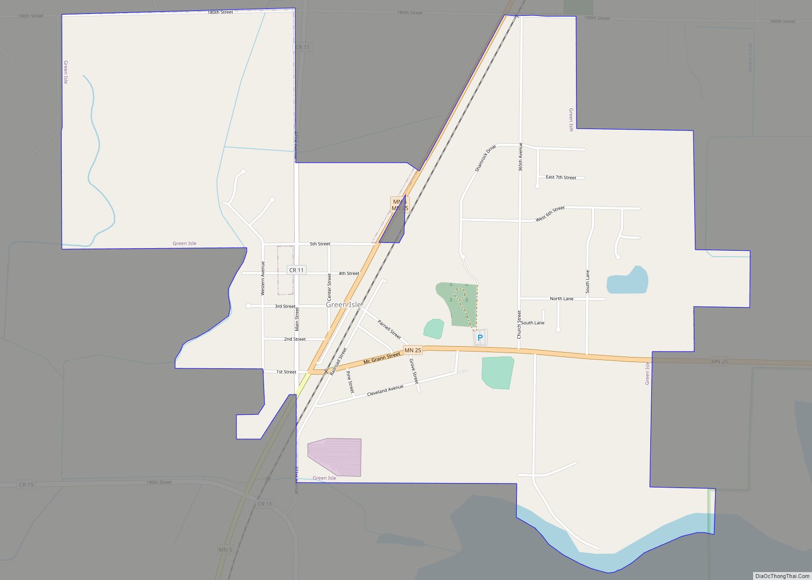
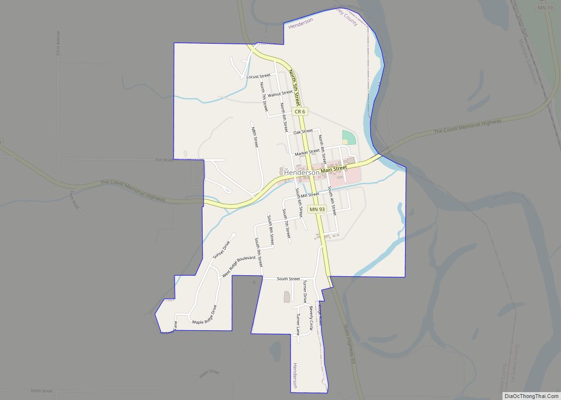
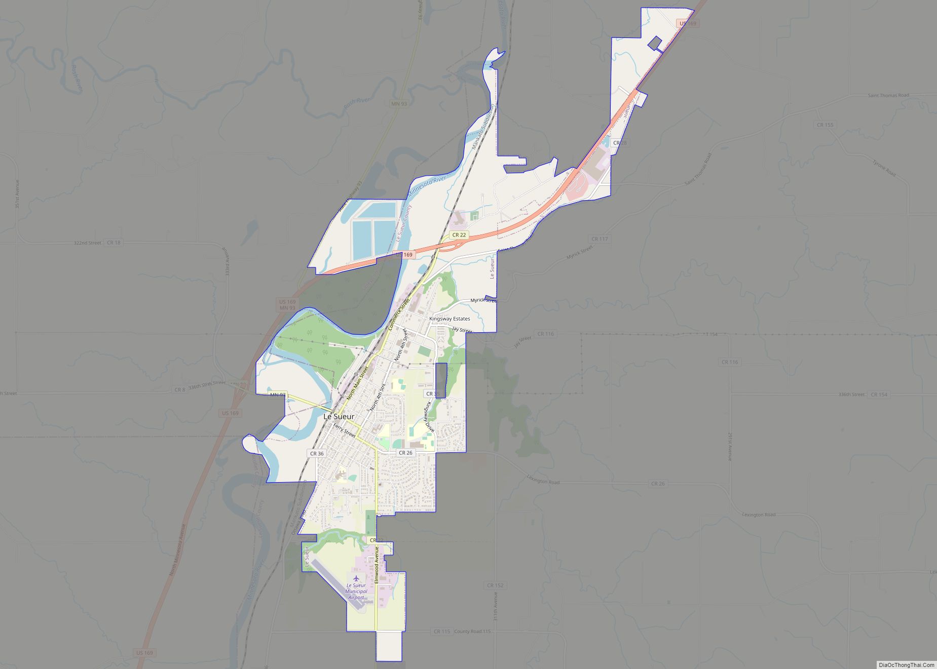
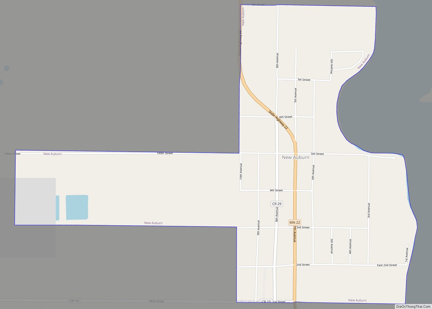
Online Interactive Map
Click on ![]() to view map in "full screen" mode.
to view map in "full screen" mode.
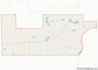
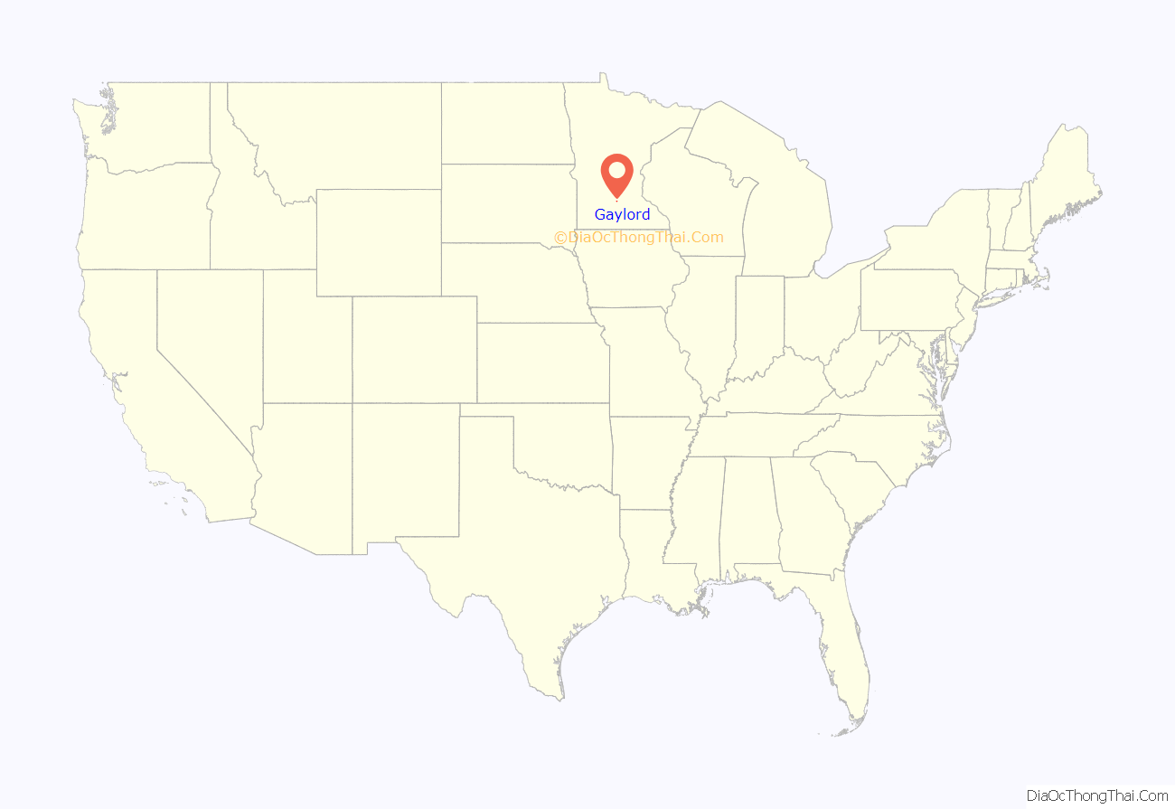
Gaylord location map. Where is Gaylord city?

History
A commonly used trail to the Dakota Territory passed through the future site of Gaylord in the 1850s.
Gaylord was platted in 1881, and named for Edward W. Gaylord, a railroad official. A post office has been in operation at Gaylord since 1881.
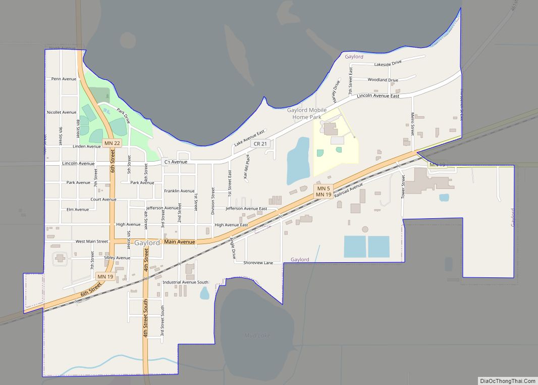
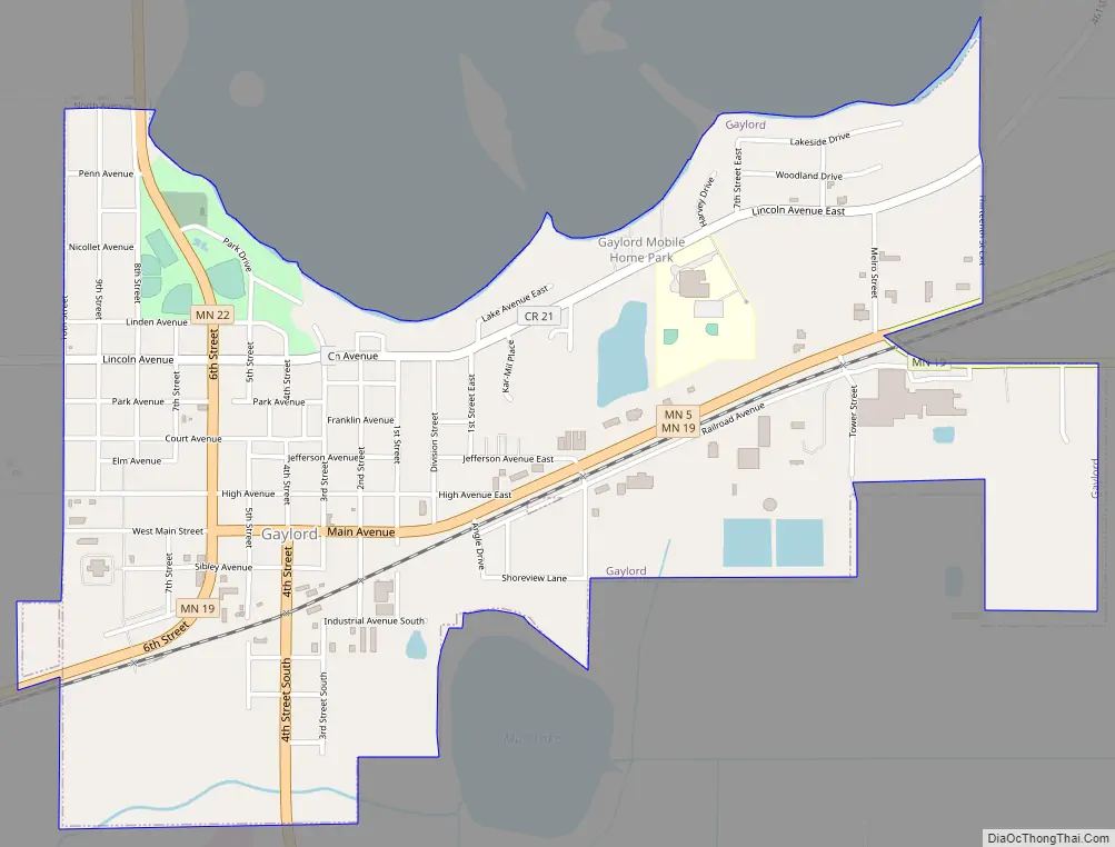
Gaylord Road Map
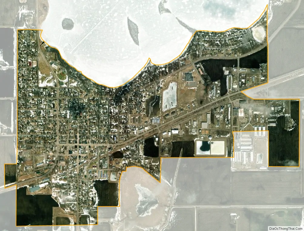
Gaylord city Satellite Map
Geography
According to the United States Census Bureau, the city has a total area of 1.67 square miles (4.33 km), all land. Minnesota State Highways 5, 19, and 22 are three of the main routes through the community.
Climate
See also
Map of Minnesota State and its subdivision:- Aitkin
- Anoka
- Becker
- Beltrami
- Benton
- Big Stone
- Blue Earth
- Brown
- Carlton
- Carver
- Cass
- Chippewa
- Chisago
- Clay
- Clearwater
- Cook
- Cottonwood
- Crow Wing
- Dakota
- Dodge
- Douglas
- Faribault
- Fillmore
- Freeborn
- Goodhue
- Grant
- Hennepin
- Houston
- Hubbard
- Isanti
- Itasca
- Jackson
- Kanabec
- Kandiyohi
- Kittson
- Koochiching
- Lac qui Parle
- Lake
- Lake of the Woods
- Lake Superior
- Le Sueur
- Lincoln
- Lyon
- Mahnomen
- Marshall
- Martin
- McLeod
- Meeker
- Mille Lacs
- Morrison
- Mower
- Murray
- Nicollet
- Nobles
- Norman
- Olmsted
- Otter Tail
- Pennington
- Pine
- Pipestone
- Polk
- Pope
- Ramsey
- Red Lake
- Redwood
- Renville
- Rice
- Rock
- Roseau
- Saint Louis
- Scott
- Sherburne
- Sibley
- Stearns
- Steele
- Stevens
- Swift
- Todd
- Traverse
- Wabasha
- Wadena
- Waseca
- Washington
- Watonwan
- Wilkin
- Winona
- Wright
- Yellow Medicine
- Alabama
- Alaska
- Arizona
- Arkansas
- California
- Colorado
- Connecticut
- Delaware
- District of Columbia
- Florida
- Georgia
- Hawaii
- Idaho
- Illinois
- Indiana
- Iowa
- Kansas
- Kentucky
- Louisiana
- Maine
- Maryland
- Massachusetts
- Michigan
- Minnesota
- Mississippi
- Missouri
- Montana
- Nebraska
- Nevada
- New Hampshire
- New Jersey
- New Mexico
- New York
- North Carolina
- North Dakota
- Ohio
- Oklahoma
- Oregon
- Pennsylvania
- Rhode Island
- South Carolina
- South Dakota
- Tennessee
- Texas
- Utah
- Vermont
- Virginia
- Washington
- West Virginia
- Wisconsin
- Wyoming