Sunbury (/ˈsʌnbɛri/ SUN-berr-ee) is a city and county seat of Northumberland County, Pennsylvania, United States. The principal city in the Sunbury, PA Micropolitan Statistical Area, it is also one of three principal cities in the Bloomsburg-Berwick-Sunbury, PA Combined Statistical Area.
Located in Central Pennsylvania’s Susquehanna Valley on the east bank of the Susquehanna River, just downstream of the confluence of its main and west branches, Sunbury dates to the early 18th century. Its population was 9,905 at the 2010 census.
Rich in history, its Hotel Edison became the first building in the city to be lit with Thomas Edison’s three-wire system in 1883, and was later named in his honor. John W. Treadwell, Jr., a nine-year-old boy in the crowd of onlookers, was given the privilege of throwing the switch that turned on those new lights.
Other historic sites include the Beck House, Northumberland County Courthouse, and Sunbury Historic District, all of which are listed on the National Register of Historic Places.
| Name: | Sunbury city |
|---|---|
| LSAD Code: | 25 |
| LSAD Description: | city (suffix) |
| State: | Pennsylvania |
| County: | Northumberland County |
| Total Area: | 2.11 sq mi (5.46 km²) |
| Land Area: | 2.01 sq mi (5.20 km²) |
| Water Area: | 0.10 sq mi (0.26 km²) 1.40% |
| Total Population: | 9,719 |
| Population Density: | 4,842.55/sq mi (1,870.07/km²) |
| ZIP code: | 17801 |
| Area code: | 570 and 272 |
| FIPS code: | 4275304 |
Online Interactive Map
Click on ![]() to view map in "full screen" mode.
to view map in "full screen" mode.
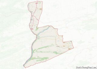
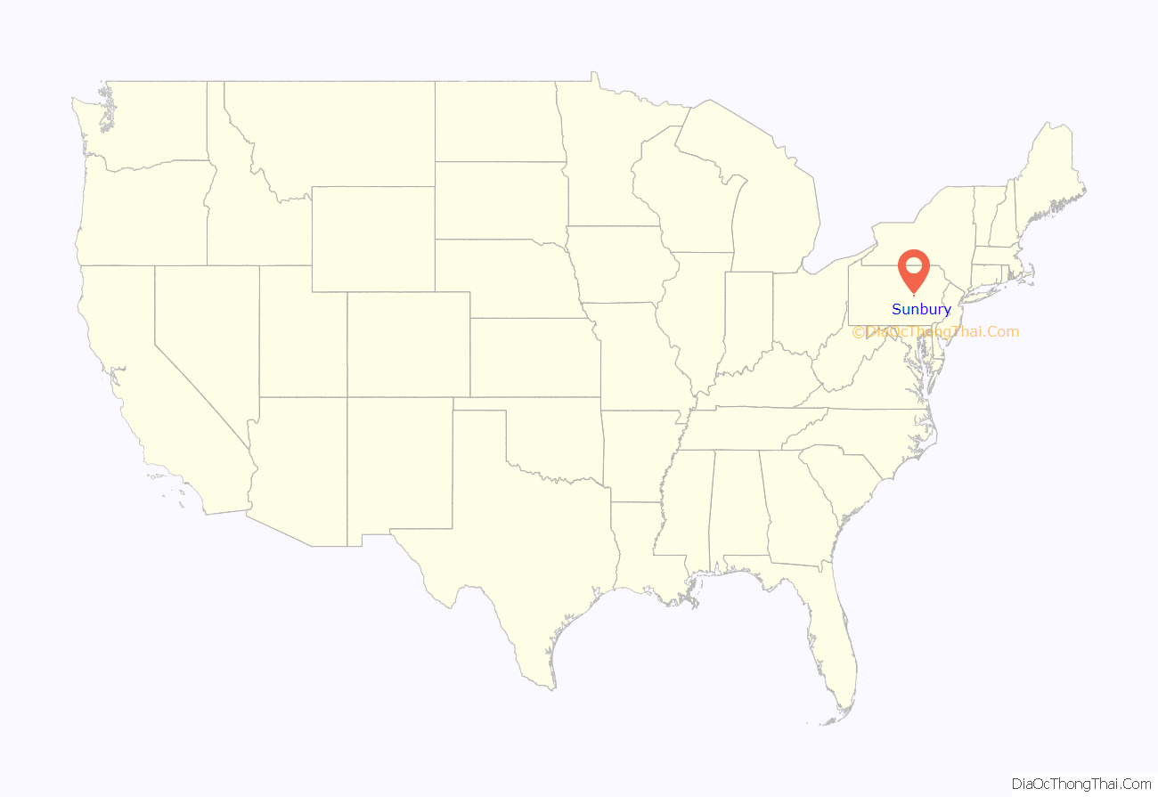
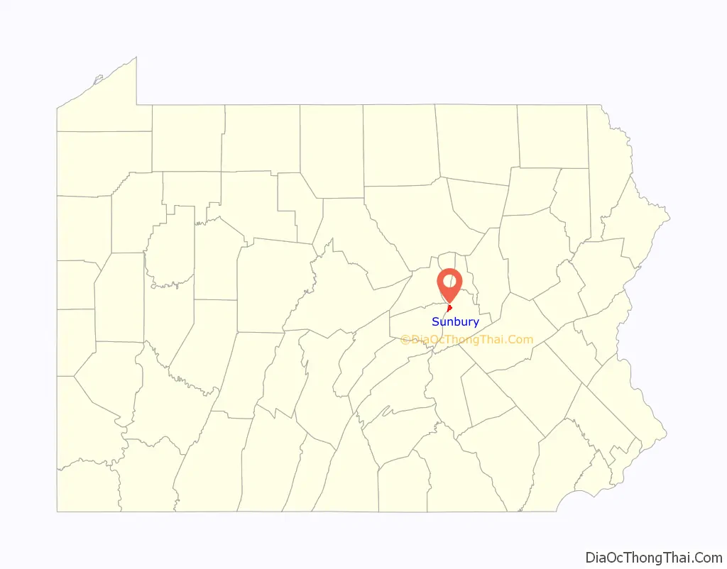
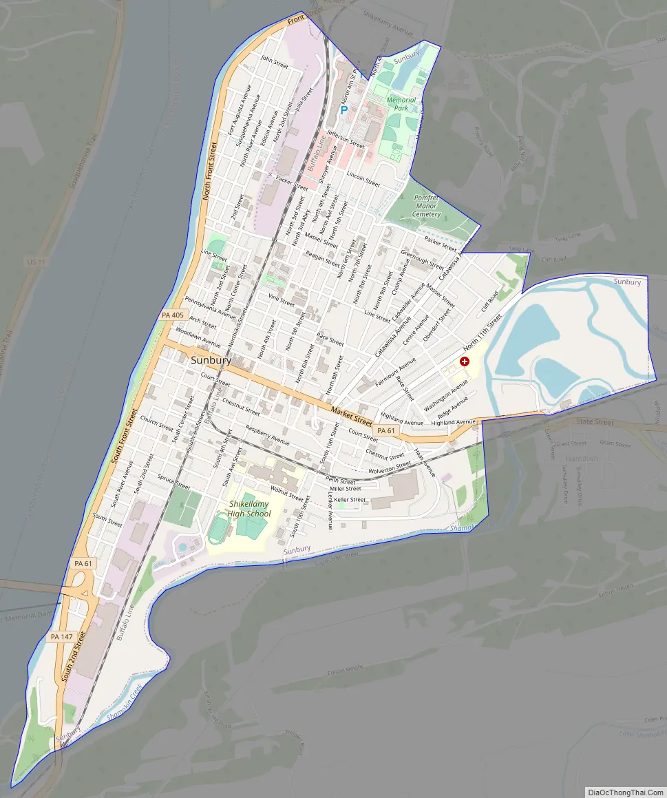
Sunbury location map. Where is Sunbury city?
History
The first human settlement of Sunbury was probably Shawnee migrants. A large population of Delaware Indians was also forcibly resettled there in the early 18th century after they lost rights to their land in the Walking Purchase. Canasatego of the Six Nations, enforcing the Walking Purchase of behalf of George Thomas, Deputy Governor of Pennsylvania, ordered the Delaware Indians to go to two places on the Susquehanna River, one of which was present-day Sunbury.
From 1727 to 1756, Sunbury was one of the largest and most influential Indian settlements in Pennsylvania. At that time, it was known as Shamokin, not to be confused with the present-day city of Shamokin, Pennsylvania, which is located to the east.
In 1745, Presbyterian missionary David Brainerd described the city as being located on both the east and west sides of the river, and on an island. Brainerd reported that the city housed 300 Indians, half of which were Delawares and the other Seneca and Tutelo.
In 1754, much of the land west of the Susquehanna was transferred from the Six Nations to Pennsylvania at the Albany Congress. However, Shamokin was not sold and was reserved by the Six Nations, “to settle such of our Nations as shall come to us from the Ohio or any others who shall deserve to be in our Alliance.” According to Weslager, “the Pennsylvania authorities had no opposition to the Six Nations reserving Wyoming and Shamokin from the sale, since friendly Delawares, including Teedyuskung (also known as Teedyuscung) and his people living in those settlements–and any other Indians who might be placed there–constituted a buffer against Connecticut.”
The French and Indian War brought fighting to much of the region. The Delaware Indian residents of Shamokin remained neutral for much of the early part of the war, in part because a drought and unseasonable frost in Shamokin in 1755 left them without provisions.
However, the Delaware Indians at Shamokin joined the war against Pennsylvania and the English after the Gnadenhutten massacre in 1755. Pennsylvania Fort Augusta was built in 1756 at Shamokin. Read more about early history of Sunbury in Shamokin (village). Bloody Springs is a historic site from the era.
On March 21, 1772, Northumberland County was incorporated and subdivided. The settlement of Shamokin was renamed Sunbury that same year, and the present-day city of Sunbury identifies 1772 as the date of its establishment. It was named after Sunbury-on-Thames, a town in the Surrey borough of Spelthorne, England, just outside Greater London.
Lorenzo Da Ponte, the librettist of Mozart and of Salieri, lived in Sunbury for some years after his arrival in America.
In July 1883, American inventor Thomas Edison installed the first successful three-wire electric lighting system in at what was then known as the City Hotel. At the city’s 150th anniversary celebration in 1922, it was renamed the Edison Hotel.
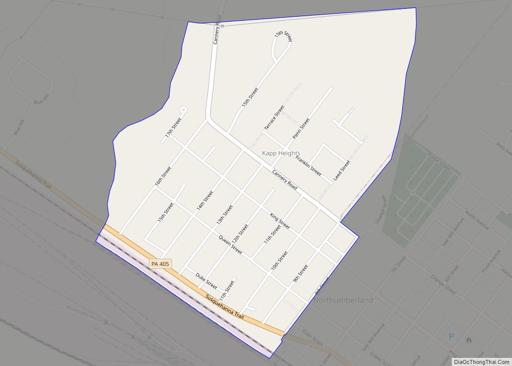
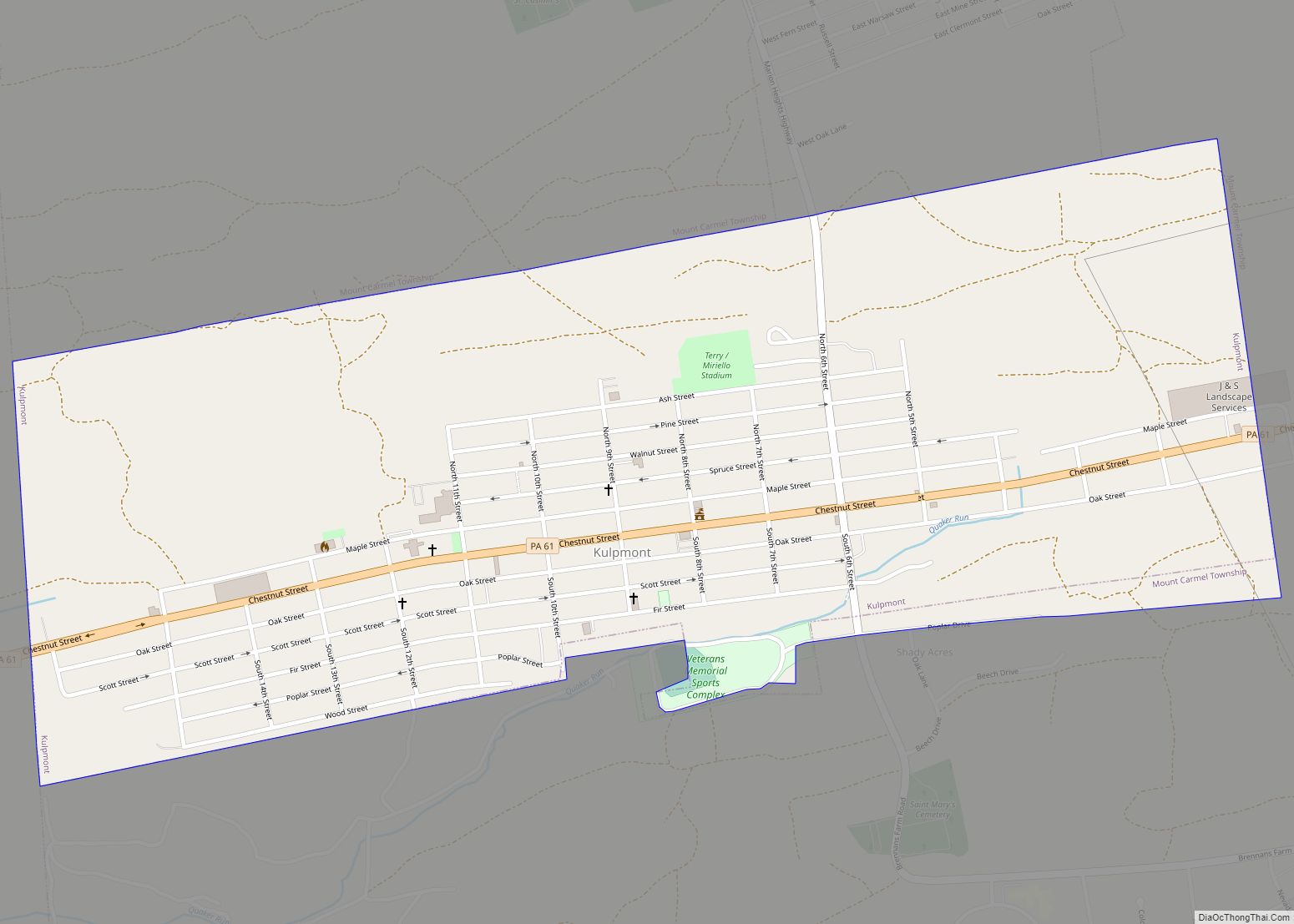
Sunbury Road Map
Sunbury city Satellite Map

Geography
Sunbury is at 40°51′50″N 76°47′21″W / 40.86389°N 76.78917°W / 40.86389; -76.78917 (40.863894, -76.789174). It is located at the point where the west and north branches of the Susquehanna converge.
According to the United States Census Bureau, the city has a total area of 2.2 square miles (5.7 km), of which 2.1 square miles (5.4 km) is land and 0.04 square miles (0.10 km) (1.40%) is water.
Climate
See also
Map of Pennsylvania State and its subdivision:- Adams
- Allegheny
- Armstrong
- Beaver
- Bedford
- Berks
- Blair
- Bradford
- Bucks
- Butler
- Cambria
- Cameron
- Carbon
- Centre
- Chester
- Clarion
- Clearfield
- Clinton
- Columbia
- Crawford
- Cumberland
- Dauphin
- Delaware
- Elk
- Erie
- Fayette
- Forest
- Franklin
- Fulton
- Greene
- Huntingdon
- Indiana
- Jefferson
- Juniata
- Lackawanna
- Lancaster
- Lawrence
- Lebanon
- Lehigh
- Luzerne
- Lycoming
- Mc Kean
- Mercer
- Mifflin
- Monroe
- Montgomery
- Montour
- Northampton
- Northumberland
- Perry
- Philadelphia
- Pike
- Potter
- Schuylkill
- Snyder
- Somerset
- Sullivan
- Susquehanna
- Tioga
- Union
- Venango
- Warren
- Washington
- Wayne
- Westmoreland
- Wyoming
- York
- Alabama
- Alaska
- Arizona
- Arkansas
- California
- Colorado
- Connecticut
- Delaware
- District of Columbia
- Florida
- Georgia
- Hawaii
- Idaho
- Illinois
- Indiana
- Iowa
- Kansas
- Kentucky
- Louisiana
- Maine
- Maryland
- Massachusetts
- Michigan
- Minnesota
- Mississippi
- Missouri
- Montana
- Nebraska
- Nevada
- New Hampshire
- New Jersey
- New Mexico
- New York
- North Carolina
- North Dakota
- Ohio
- Oklahoma
- Oregon
- Pennsylvania
- Rhode Island
- South Carolina
- South Dakota
- Tennessee
- Texas
- Utah
- Vermont
- Virginia
- Washington
- West Virginia
- Wisconsin
- Wyoming