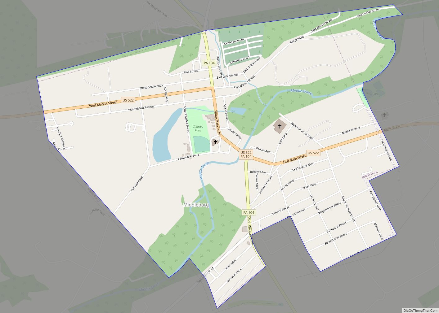
Middleburg is a borough in Snyder County, Pennsylvania, United States. Located in Central Pennsylvania’s Susquehanna River Valley, the borough’s population was 1,325 at the 2020 census. It is the county seat of Snyder County. Middleburg is part of the Selinsgrove, PA Micropolitan Statistical Area, and is also part of the larger Bloomsburg-Berwick-Sunbury, PA Combined Statistical Area.
| Name: | Middleburg borough |
|---|---|
| LSAD Code: | 21 |
| LSAD Description: | borough (suffix) |
| State: | Pennsylvania |
| County: | Snyder County |
| Total Area: | 0.92 sq mi (2.38 km²) |
| Land Area: | 0.88 sq mi (2.29 km²) |
| Water Area: | 0.04 sq mi (0.09 km²) |
| Total Population: | 1,325 |
| Population Density: | 1,500.57/sq mi (579.41/km²) |
| ZIP code: | 17842 |
| Area code: | 570 |
| FIPS code: | 4248960 |
Online Interactive Map
Click on ![]() to view map in "full screen" mode.
to view map in "full screen" mode.
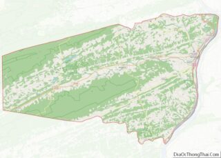
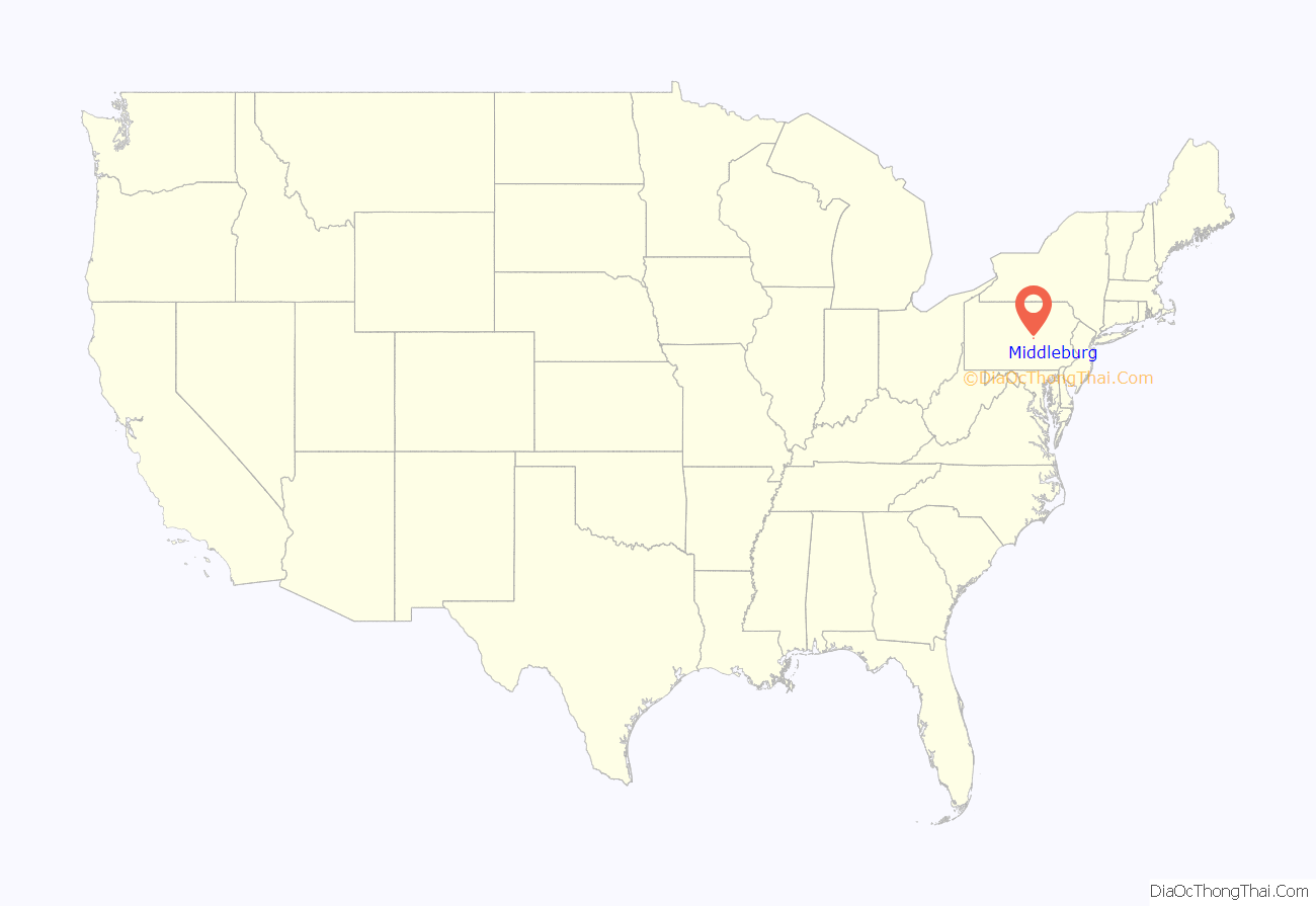
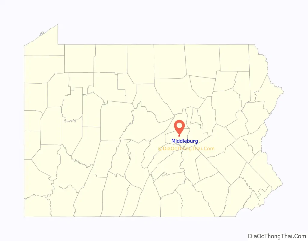
Middleburg location map. Where is Middleburg borough?
History
Native Americans had lived in the region for centuries. White settlers are recorded living in the area in 1755. Middleburg was originally named Swinefordstown (Swinefordstettle in the Pennsylvania Dutch dialect) after John Albright Swineford who ran a tavern here in 1787. He was also the owner of land located on the north bank of the Middle Creek on which engineer Frederick Evans laid out the town in 1800. This town became known as Middleburgh circa 1825, and was incorporated as a borough in 1864.
A portion of the site that Middleburg occupies was the location of the Stump’s Run Massacre in January 1768. Stump’s Run is located to the west of the Glendale Cemetery and is also near the Snyder County Historical Society. In this incident, two colonists named Frederick Stump and John Ironcutter were found to be responsible for the deaths of four Native American men, three Native American women, and three children over a two-day period. Four of the men and two of the women were killed at Stump’s cabin, which was located at the mouth of the Middle Creek near Selinsgrove. After Stump and Ironcutter shoved the bodies through a hole in the ice, they traveled up the creek to Stump’s Run to kill the remaining woman and the children. These bodies were thrown into the native cabins, and the cabins burned. Although the men claimed self-defense, it is suspected that this could have been provoked by a drunken brawl, or that the natives were killed by Stump in retaliation for the deaths of his wife and children at the hands of Native American raiders. The two men were arrested and taken to the Cumberland County jail at Carlisle for trial, but were freed at the hands of a sympathetic mob. The men were never recaptured.
The section of the borough located on the southern bank of the Middle Creek was developed in a manner entirely different from that of the settlement on the northern bank. This portion of the town began with a few pioneer homes and a grist mill; later a successor on this site would be known as the Franklin Roller Mills. When the Sunbury and Lewistown Railroad was constructed, more lots for homes were laid out, and the southern section of the town was first known as Franklin, and later, Swineford. In January 1917, the property owners in Swineford petitioned the Middleburgh borough for annexation, and this wish was granted in February of the same year.
Despite the fact that the two towns were united under one government in 1917, two separate and distinct post offices operated in the borough until March 1955, when the Swineford post office was closed. The Swineford name is still used by the Swineford National Bank, which was founded in Swineford in 1903 and is listed as a part of the Fulton Financial Family in 2013.
A major employer in the town following the Second World War was the Middleburg Tannery. This facility was located in the Swineford section of Middleburg on the south bank of the Middle Creek. It employed nearly sixty men and women that tanned high grade sole leather. Most of the raw material used at the plant came from South America, and many of the finished products were used in the manufacture of Florsheim Shoes. The tannery complex was leveled by a devastating fire in June 1967 and it was never rebuilt.
Middleburg is also home to the main processing plant of Ira Middleswarth and Son, Inc., the manufacturer of Middleswarth Potato Chips.
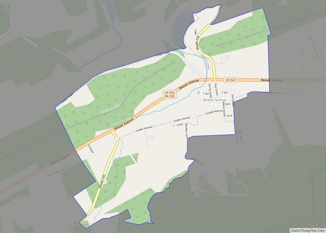
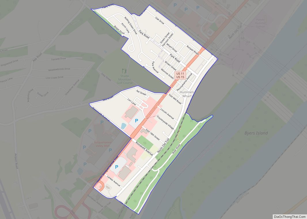
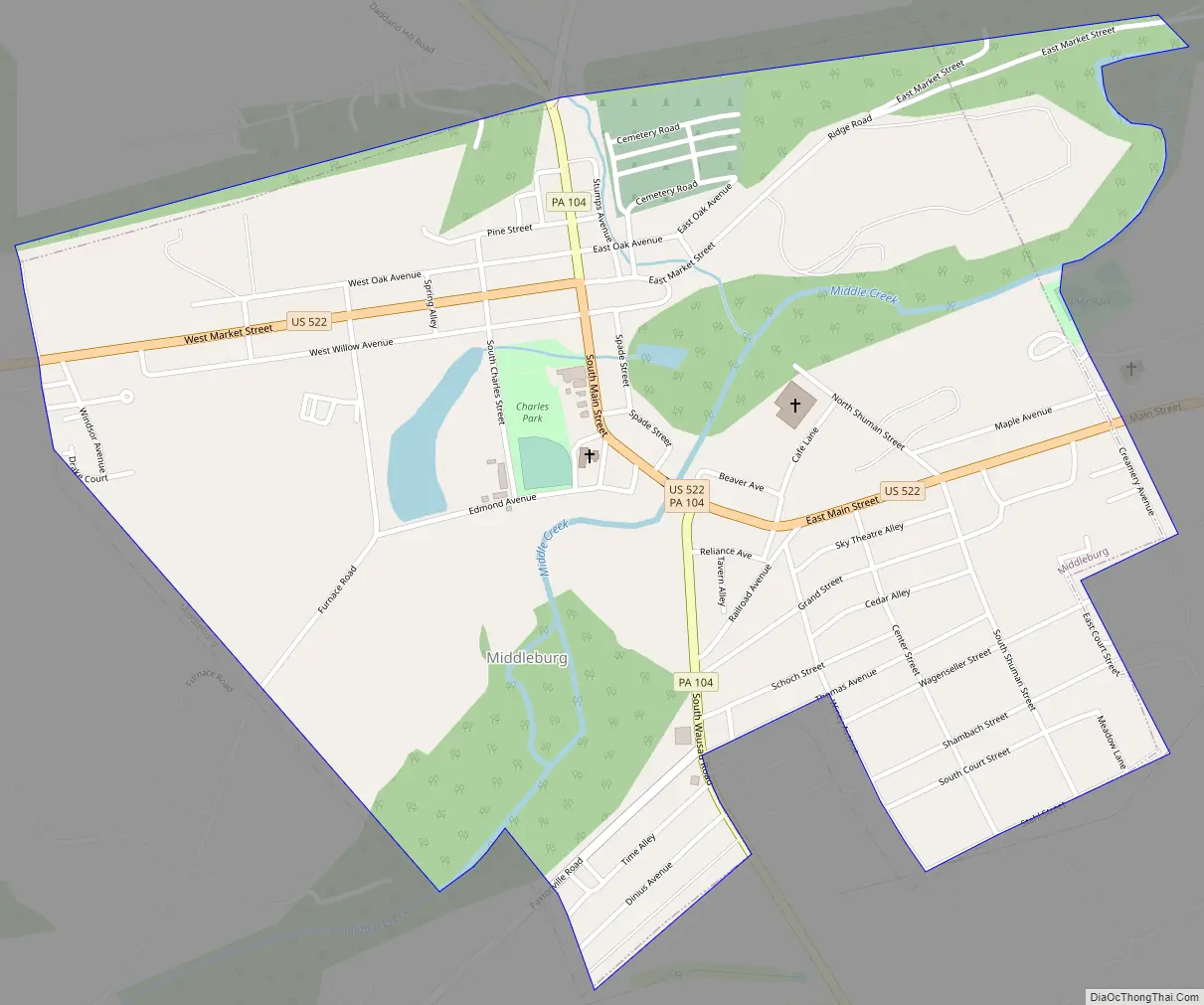
Middleburg Road Map
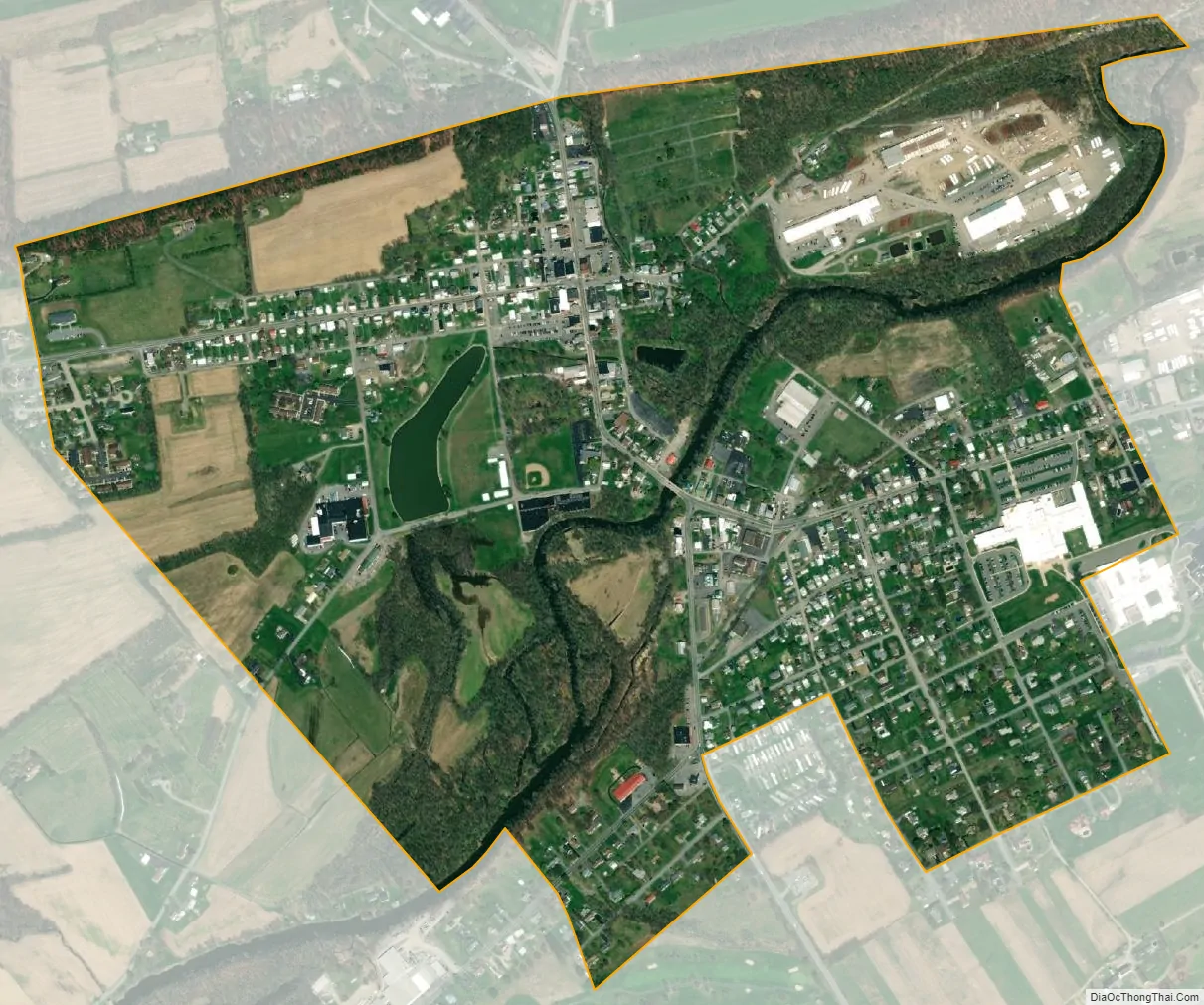
Middleburg city Satellite Map
Geography
According to the United States Census Bureau, the borough has a total area of 0.9 square miles (2.3 km), all land.
See also
Map of Pennsylvania State and its subdivision:- Adams
- Allegheny
- Armstrong
- Beaver
- Bedford
- Berks
- Blair
- Bradford
- Bucks
- Butler
- Cambria
- Cameron
- Carbon
- Centre
- Chester
- Clarion
- Clearfield
- Clinton
- Columbia
- Crawford
- Cumberland
- Dauphin
- Delaware
- Elk
- Erie
- Fayette
- Forest
- Franklin
- Fulton
- Greene
- Huntingdon
- Indiana
- Jefferson
- Juniata
- Lackawanna
- Lancaster
- Lawrence
- Lebanon
- Lehigh
- Luzerne
- Lycoming
- Mc Kean
- Mercer
- Mifflin
- Monroe
- Montgomery
- Montour
- Northampton
- Northumberland
- Perry
- Philadelphia
- Pike
- Potter
- Schuylkill
- Snyder
- Somerset
- Sullivan
- Susquehanna
- Tioga
- Union
- Venango
- Warren
- Washington
- Wayne
- Westmoreland
- Wyoming
- York
- Alabama
- Alaska
- Arizona
- Arkansas
- California
- Colorado
- Connecticut
- Delaware
- District of Columbia
- Florida
- Georgia
- Hawaii
- Idaho
- Illinois
- Indiana
- Iowa
- Kansas
- Kentucky
- Louisiana
- Maine
- Maryland
- Massachusetts
- Michigan
- Minnesota
- Mississippi
- Missouri
- Montana
- Nebraska
- Nevada
- New Hampshire
- New Jersey
- New Mexico
- New York
- North Carolina
- North Dakota
- Ohio
- Oklahoma
- Oregon
- Pennsylvania
- Rhode Island
- South Carolina
- South Dakota
- Tennessee
- Texas
- Utah
- Vermont
- Virginia
- Washington
- West Virginia
- Wisconsin
- Wyoming