LaPorte County is a county located in the U.S. state of Indiana. As of 2010, the population was 111,467. The county seat is the city of La Porte, and the largest city is Michigan City. This county is part of the Northwest Indiana and Michiana regions of the Chicago metropolitan area. The LaPorte County Courthouse is located in the county seat of La Porte and is listed on the National Register of Historic Places.
| Name: | LaPorte County |
|---|---|
| FIPS code: | 18-091 |
| State: | Indiana |
| Named for: | “The Door” or “The Port” (fr.) |
| Largest city: | Michigan City (population and total area) |
| Land Area: | 598.30 sq mi (1,549.6 km²) |
| Population Density: | 186/sq mi (72/km²) |
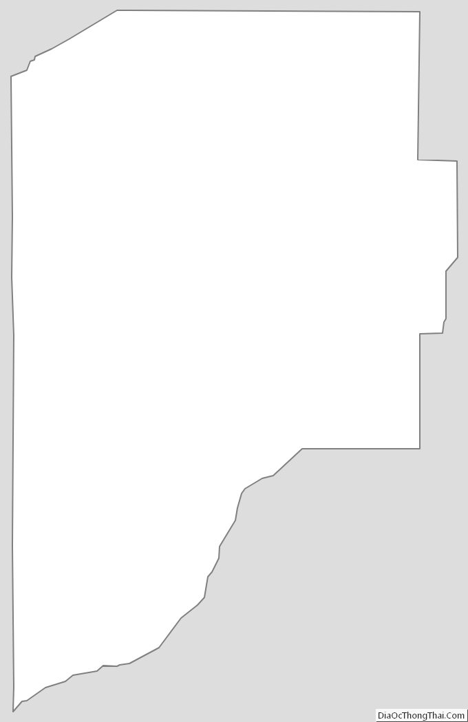
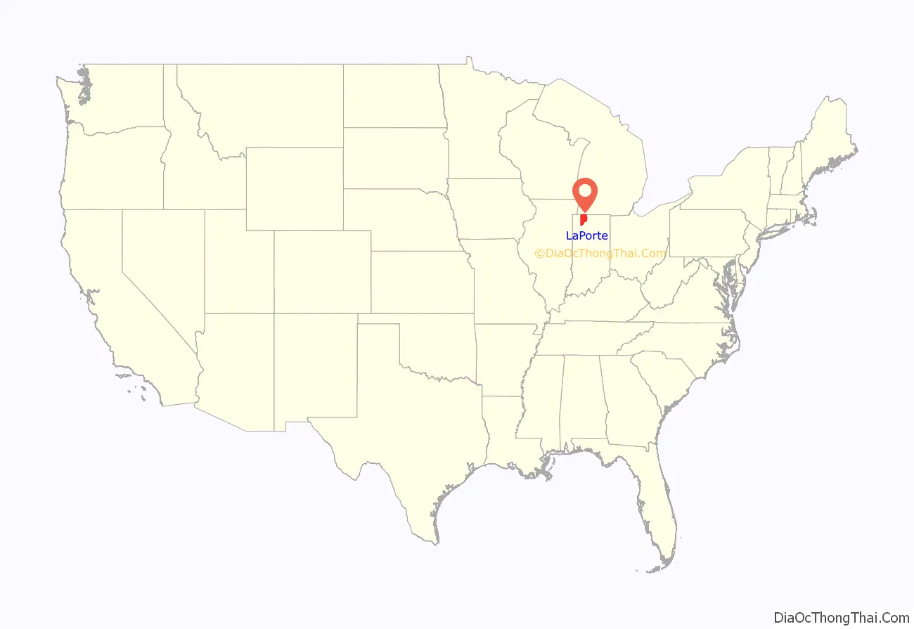
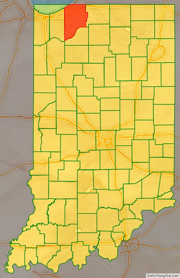
LaPorte County location map. Where is LaPorte County?
History
LaPorte County was formed in 1832. La porte means “the door” or “the port” in French. French travelers or explorers so named the area after discovering a natural opening in the dense forests that used to exist in this region, providing a gateway to lands further west.
From 1832 to 1835 LaPorte County had its boundaries and jurisdiction of the land west of it going all the way to the east border of Chicago in Cook County, IL (land which is now Porter and Lake Counties).
Before European-American settlement, all of the land that forms modern-day LaPorte County, and adjacent Starke County to the south belonged to the Potawatomi Indian nation. These Indians were forcibly removed to Kansas by the United States government in 1838, and many died on what survivors called the Trail of Death.
LaPorte County’s initial European-American settlers were Yankee migrants, that is to say they were from New England or were from upstate New York and had parents who were from New England, and were descended from the English Puritans who settled New England in the colonial era. They were part of a wave of New England settlers moving west into what was then the Northwest Territory after the completion of the Erie Canal through the Mohawk Valley of New York State.
These first settlers in LaPorte County specifically hailed from the Massachusetts towns of Granville, Boston, Bridgewater, West Bridgewater, Andover, Nantucket Island, and Hampshire County; the Connecticut towns of Colchester, Wethersfield, Granby, and New Haven; the New Hampshire towns of Bradford, Amherst and Goffstown; the Vermont villages of Dorset, Albany and Fairfax; many also came from Orange County, Vermont, Caledonia County, Vermont and Penobscot County, Maine. They were mainly members of the Congregational Church. As result of the Second Great Awakening, many became Baptists and many also converted to Pentecostalism and Methodism. When they arrived in what is now LaPorte County, there was nothing but virgin forest and prairie. The New England settlers cleared roads and brush, developed farms, constructed churches, erected government buildings, and established post routes. As a result of this migration, La Porte County was partially culturally continuous with early New England culture for many years.
But by 1850, the three Eastern states that had contributed the most residents to LaPorte County were New York, Pennsylvania and Virginia, surpassing those migrants from New England. LaPorte County had the largest number of Southerners north of the Wabash Valley.
During the Civil War, the Louisville Journal noted that the 29th Indiana Regiment (mustered out of LaPorte) “may almost be regarded as a Kentucky regiment for a large majority of its members are either natives or descendants of native Kentuckians”. Three Union Camps reigned in LaPorte County helping the Union to Civil War victory.
When the county was initially proposed and organized, its boundaries did not extend as far south or east as they do today. A section of land north of the Kankakee River originally belonged to Starke County. However, residents living in that area had difficulty crossing the river in order to reach the rest of the county. It was necessary to travel some distance east to Lemon’s bridge, before making the journey south. Effectively isolated from the rest of Starke County, these residents asked that their land be annexed to LaPorte County, which was completed on January 28, 1842. Thereafter, the Kankakee River formed the southern boundary of the county. Finally, on January 10, 1850, some twenty sections of land were annexed from St. Joseph County to the east, giving LaPorte County the boundaries that essentially exist to this day.
Whether the correct spelling of the city and county is “La Porte” or “LaPorte” is disputed, although state law refers to “LaPorte County.”
LaPorte County is noted for being the place of the Belle Gunness serial murders. Gunness lived on a farm on the outskirts of the county seat.
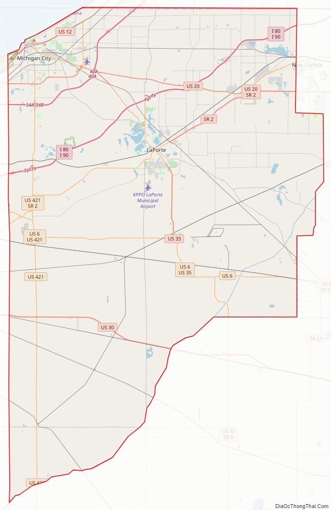
LaPorte County Road Map
Geography
According to the 2010 census, the county has a total area of 613.26 square miles (1,588.3 km), of which 598.30 square miles (1,549.6 km) (or 97.56%) is land and 14.96 square miles (38.7 km) (or 2.44%) is water. The highest point, at 957 feet (292 m), is in southwestern Galena Township near County Roads East 600 North and North 150 East. The lowest point, at 581 feet (177 m), is along the Lake Michigan shoreline.
Adjacent counties
- Berrien County, Michigan (North/Eastern Time Zone Border)
- St. Joseph County (East/Eastern Time Zone Border)
- Starke County (South)
- Jasper County (Southwest)
- Porter County (West)
National protected area
Major highways
- I-80 / I-90 / Indiana Toll Road
- I-94
- U.S. Route 6
- U.S. Route 12
- U.S. Route 20
- U.S. Route 30
- U.S. Route 35
- U.S. Route 421
- State Road 2
- State Road 4
- State Road 8
- State Road 39
- State Road 104
- State Road 212
Railroads
- Canadian National Railway
- Chesapeake and Indiana Railroad
- Chicago, Fort Wayne and Eastern Railroad
- Chicago South Shore and South Bend Railroad
- CSX Transportation
- Norfolk Southern Railway
- South Shore Line (commuter rail)
LaPorte County Topographic Map
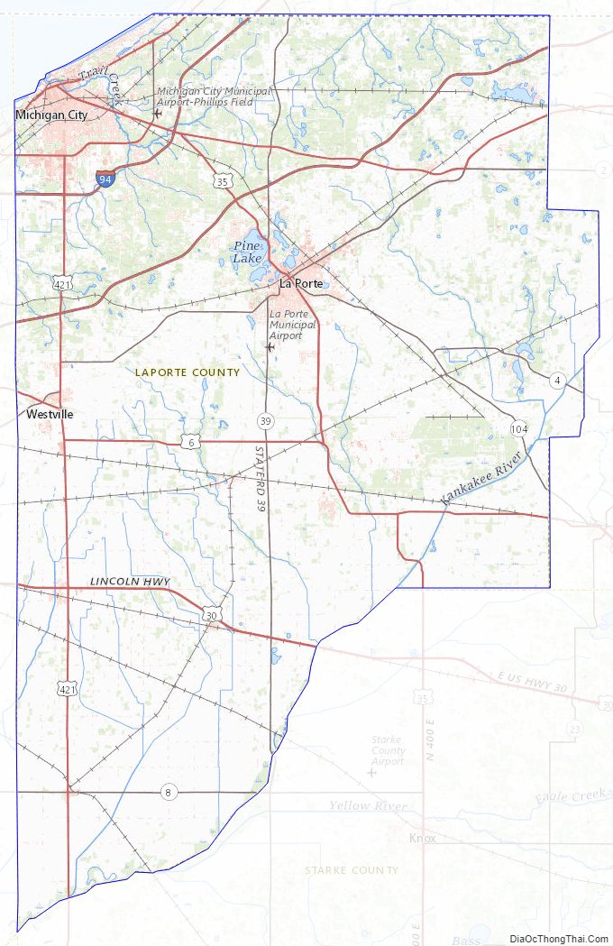
LaPorte County Satellite Map

LaPorte County Outline Map