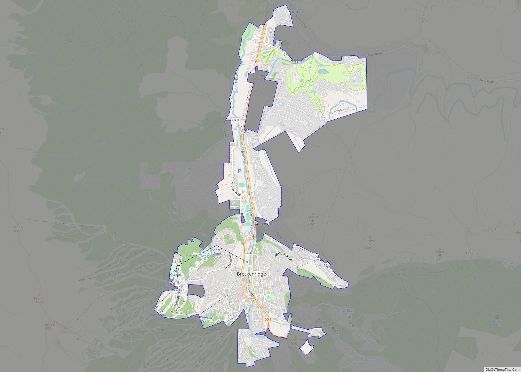
The Town of Breckenridge is the home rule municipality that is the county seat and the most populous municipality of Summit County, Colorado, United States. The town population was 5,078 at the 2020 United States Census. Breckenridge is the principal town of the Breckenridge, CO Micropolitan Statistical Area. The town also has many part-time residents, as many people have vacation homes in the area. The town is located at the base of the Tenmile Range.
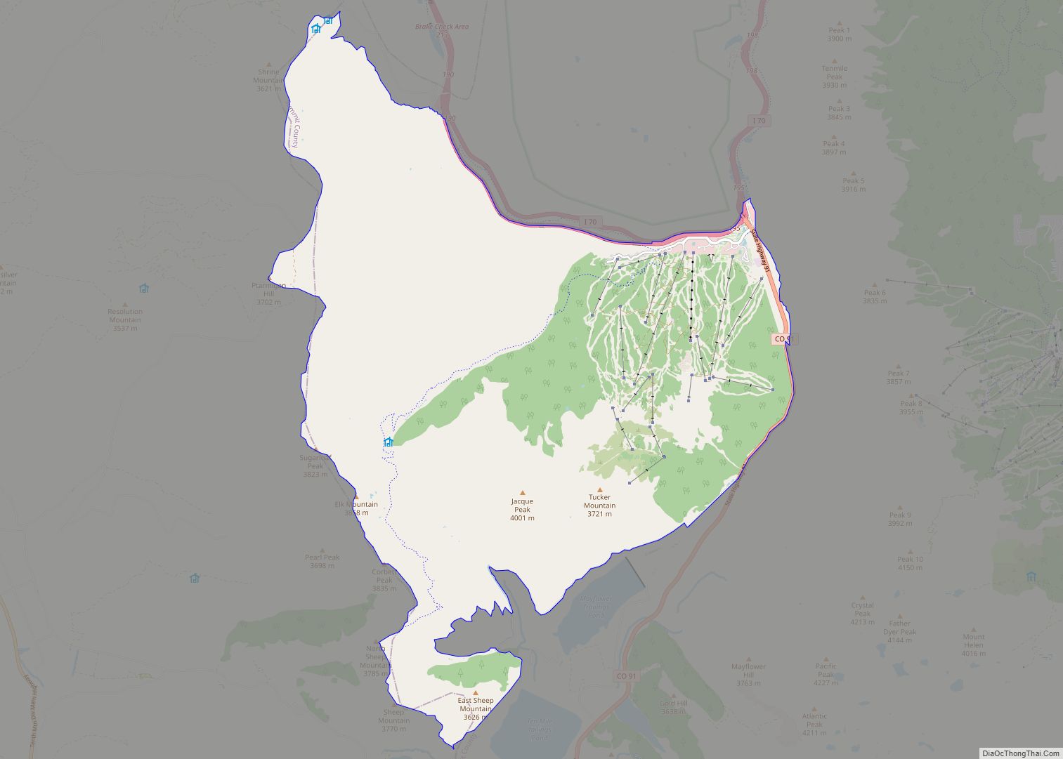
Since ski trails were first cut in 1961, Breckenridge Ski Resort has made the town a popular destination for skiers. Summer in Breckenridge attracts outdoor enthusiasts with hiking trails, wildflowers, fly-fishing in the Blue River, mountain biking, nearby Lake Dillon for boating, white water rafting, three alpine slides, a roller coaster, and many shops and restaurants up and down Main Street. The historic buildings along Main Street with their clapboard and log exteriors add to the charm of the town. Since 1981, Breckenridge has hosted the Breckenridge Festival of Film in September, while in January, the town has often been host to a screening of the Backcountry Film Festival. Also held in January is the Ullr Fest, a week of festivities celebrating snow and honoring the Norse god Ullr. There are many summertime attractions to enjoy in Breckenridge, most notably the annual Fourth of July parade.
| Name: | Breckenridge town |
|---|---|
| LSAD Code: | 43 |
| LSAD Description: | town (suffix) |
| State: | Colorado |
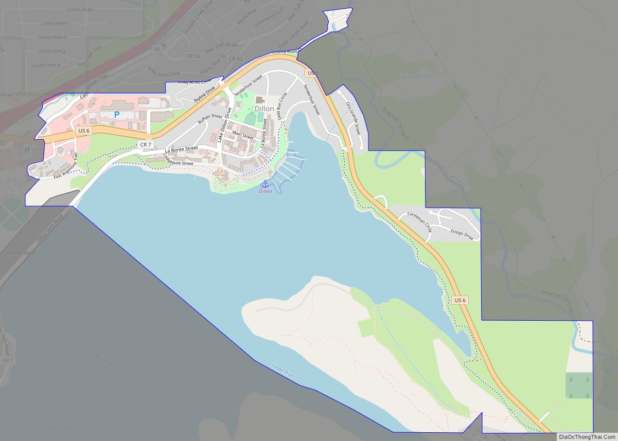
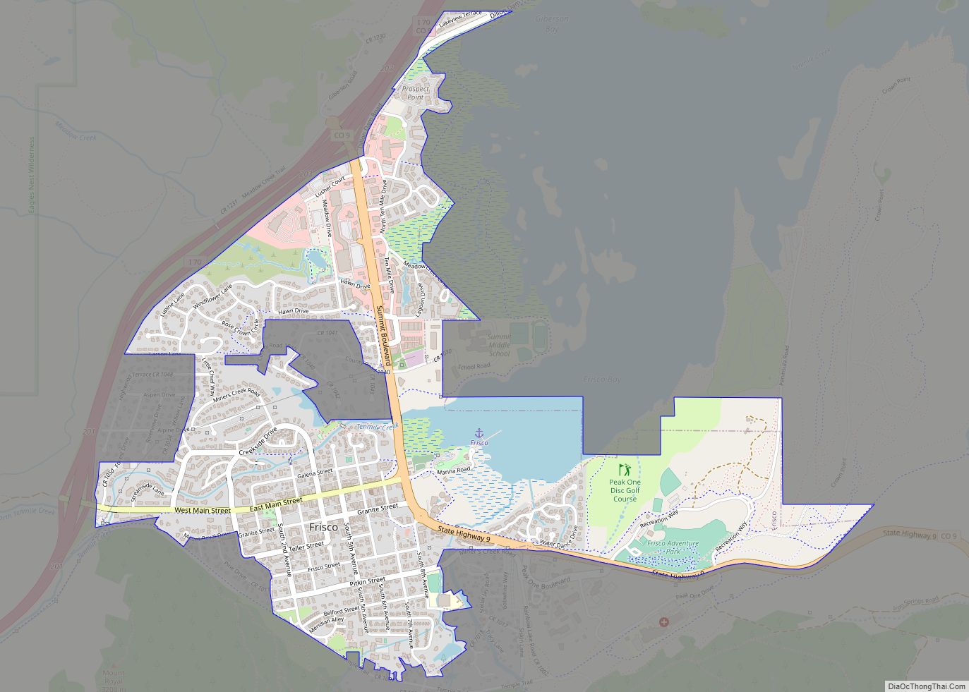
| County: | Summit County |
| Incorporated: | March 3, 1880 |
| Elevation: | 9,603 ft (2,927 m) |
| Total Area: | 6.047 sq mi (15.661 km²) |
| Land Area: | 6.047 sq mi (15.661 km²) |
| Water Area: | 0.000 sq mi (0.000 km²) |
| Total Population: | 5,078 |
| Population Density: | 840/sq mi (320/km²) |
| ZIP code: | 80424 |
| Area code: | 970 |
| FIPS code: | 0808400 |
| GNISfeature ID: | 0204681 |
| Website: | www.townofbreckenridge.com |
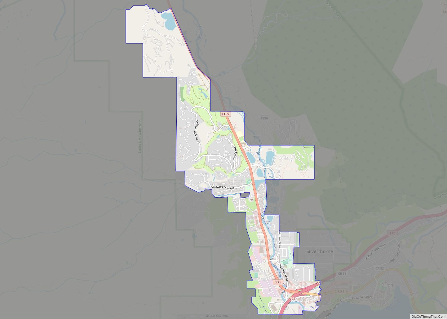
Online Interactive Map
Click on ![]() to view map in "full screen" mode.
to view map in "full screen" mode.
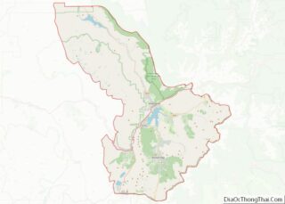
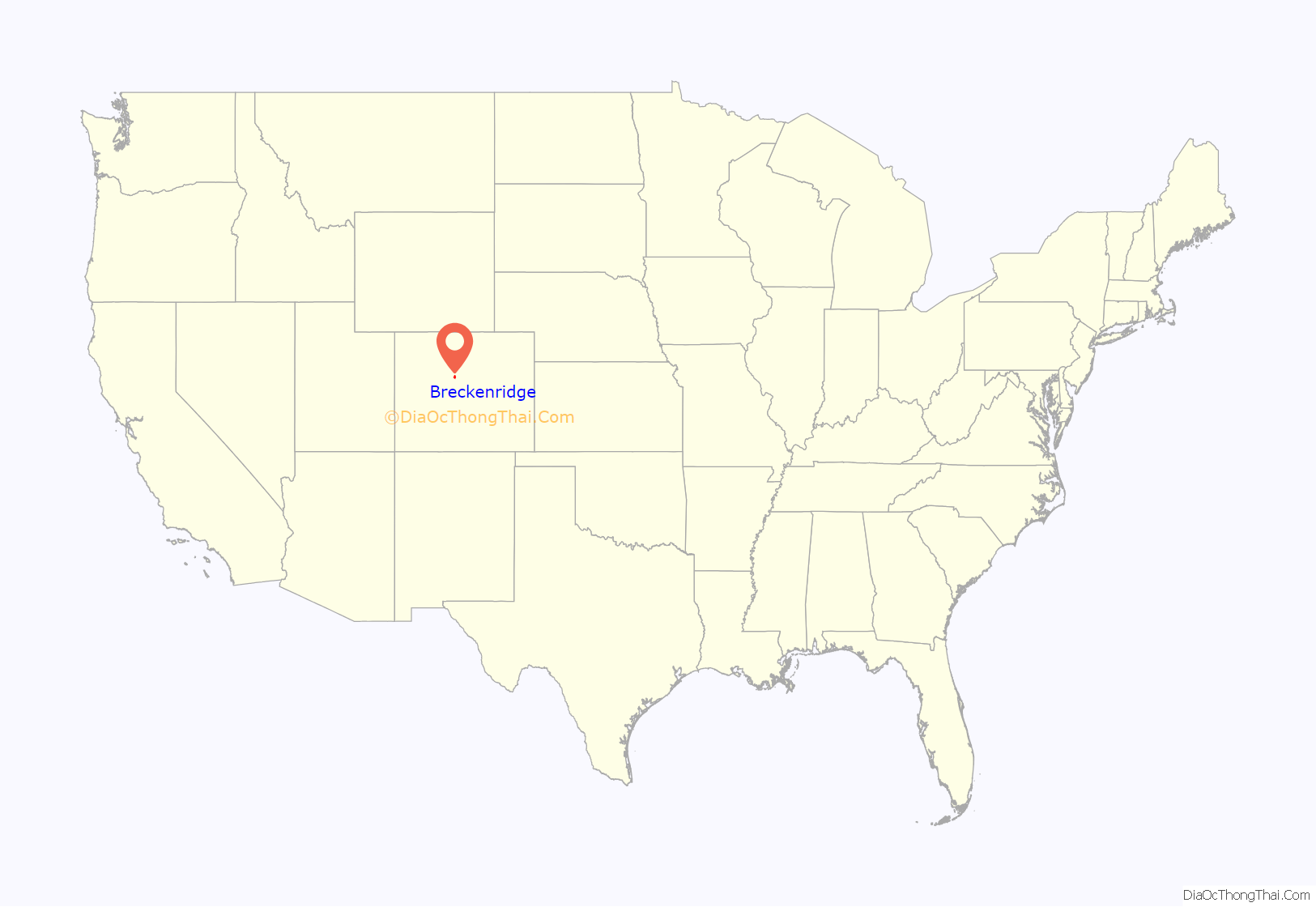
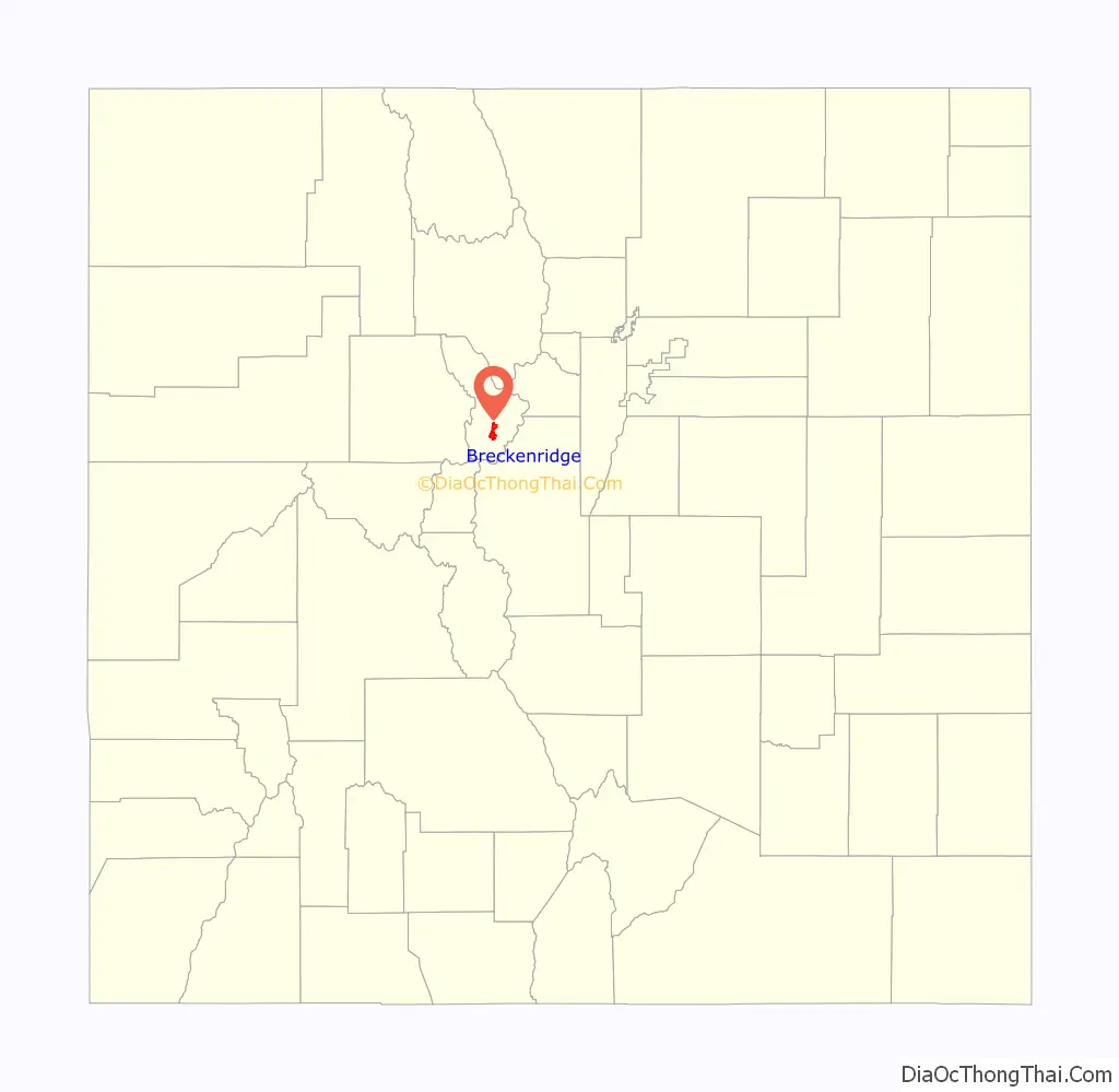
Breckenridge location map. Where is Breckenridge town?
History
Prospectors entered what is now Summit County (then part of Utah Territory) during the Pikes Peak Gold Rush of 1859, soon after the placer gold discoveries east of Breckenridge near Idaho Springs. Breckenridge was founded to serve the miners working rich placer gold deposits discovered along the Blue River. Placer gold mining was soon joined by hard rock mining, as prospectors followed the gold to its source veins in the hills. Gold in some upper gravel benches east of the Blue River was recovered by hydraulic mining. Gold production decreased in the late 1800s, but revived in 1908 by gold dredging operations along the Blue River and Swan River. The Breckenridge mining district is credited with production of about one million troy ounces (about 31,000 kilograms) of gold. The gold mines around Breckenridge are all shut down, although some are open to tourist visits. The characteristic gravel ridges left by the gold dredges can still be seen along the Blue River and Snake River, and the remains of a dredge are still afloat in a pond off the Swan River.
Notable among the early prospectors was Edwin Carter, a log cabin naturalist who decided to switch from mining to collecting wildlife specimens. His log cabin, built in 1875, still stands today and has been recently renovated by the Breckenridge Heritage Alliance with interactive exhibits and a small viewing room with a short creative film on his life and the early days around Breckenridge.
Harry Farncomb found the source of the French Gulch placer gold on Farncomb Hill in 1878. His strike, Wire Patch, consisted of alluvial gold in wire, leaf and crystalline forms. By 1880, he owned the hill. Farncomb later discovered a gold vein, which became the Wire Patch Mine. Other vein discoveries included Ontario, Key West, Boss, Fountain, and Gold Flake.
The Breckenridge Heritage Alliance reports that in the 1930s, a women’s group in Breckenridge stumbled upon an 1880s map that failed to include Breckenridge. They speculated that Breckenridge had never been officially annexed into the United States, and was thus still considered “No Man’s Land”. This was completely false—official US maps did include Breckenridge—but these women created an incredibly clever marketing campaign out of this one map. In 1936 they invited the Governor of Colorado to Breckenridge to raise a flag at the Courthouse officially welcoming Breckenridge into the union—and he came. There was a big party, and the entire event/idea of Breckenridge being left off the map made national news. The “No Man’s Land” idea later morphed into a new theme of Breckenridge being referred to as “Colorado’s Kingdom”, and the theme of the town’s independent spirit is still celebrated to today during the annual “Kingdom Days” celebrations every June.
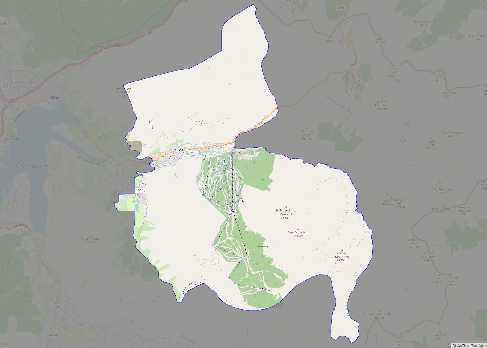
In December 1961, skiing was introduced to Breckenridge when several trails were cut on the lower part of Peak 8, connected to town by Ski Hill Road. In the 50-plus years since, the ski area was gradually expanded onto adjacent peaks, with trails opening on Peak 9 in the early 1970s, Peak 10 in 1985, Peak 7 in 2002, and Peak 6 in 2013.
On November 3, 2009, voters passed ballot measure 2F by a nearly 3 to 1 margin (73%), which legalized marijuana possession for adults. The measure allows possession of up to an ounce of marijuana and also decriminalizes the possession of marijuana-related paraphernalia. Possession became legal January 1, 2010. Possession was still illegal by state law, however, until the passage of Colorado Amendment 64 in 2012.
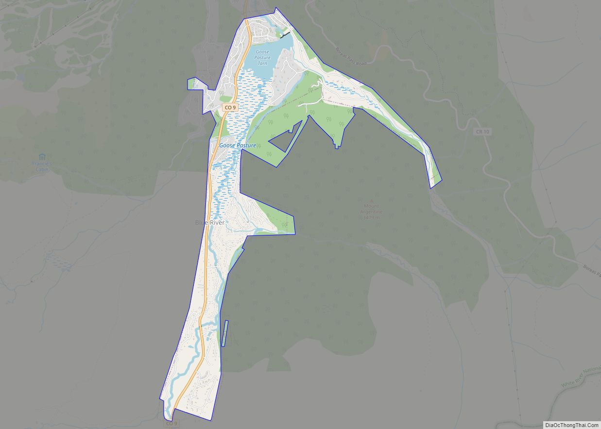
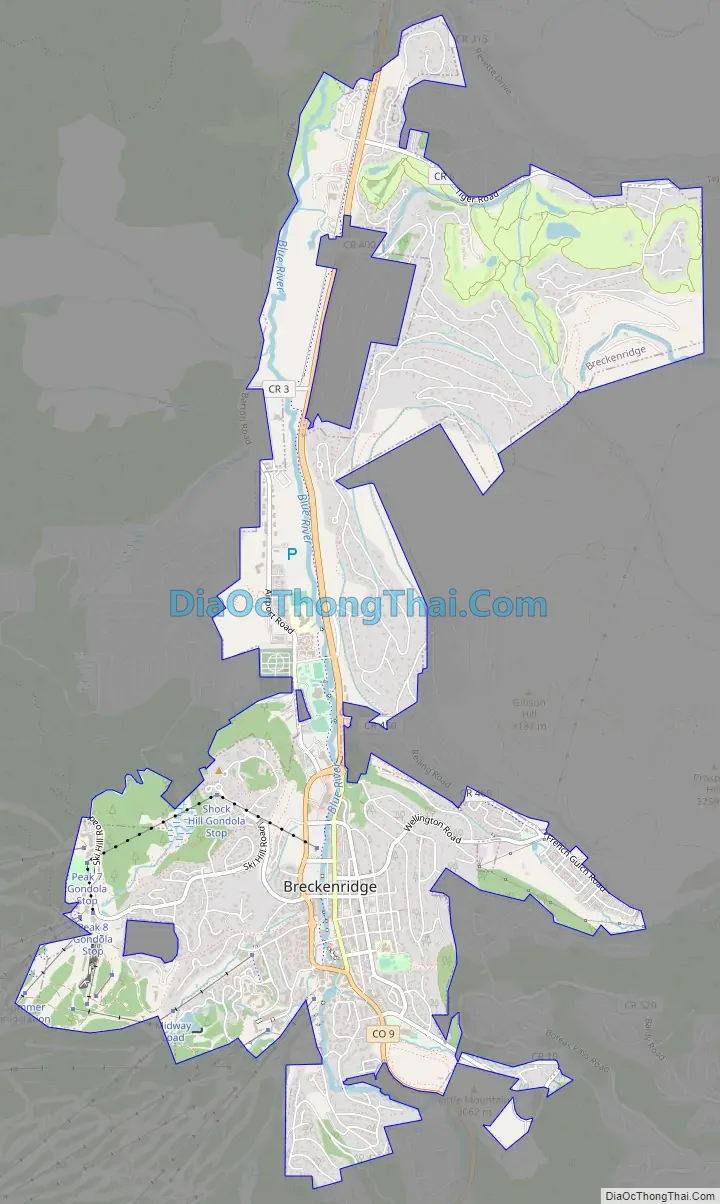
Breckenridge Road Map
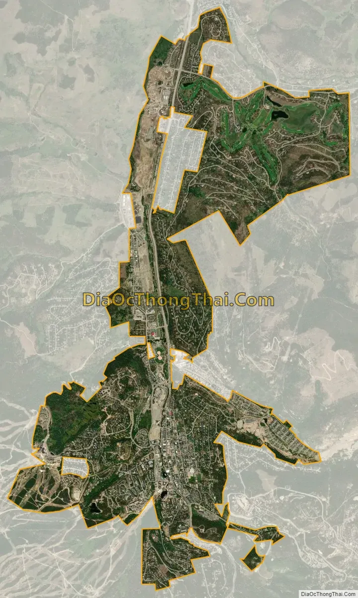
Breckenridge city Satellite Map
Geography
Breckenridge is located at 39°29′11″N 106°02′37″W / 39.486445°N 106.043516°W / 39.486445; -106.043516.
At the 2020 United States Census, the town had a total area of 6.047 square miles (15.661 km), all of it land. The ski area has a total area of 2,880 acres (11.7 km) of land. The elevation of Breckenridge is 9,600 feet (2,900 m) above sea level.
See also
Map of Colorado State and its subdivision:- Adams
- Alamosa
- Arapahoe
- Archuleta
- Baca
- Bent
- Boulder
- Broomfield
- Chaffee
- Cheyenne
- Clear Creek
- Conejos
- Costilla
- Crowley
- Custer
- Delta
- Denver
- Dolores
- Douglas
- Eagle
- El Paso
- Elbert
- Fremont
- Garfield
- Gilpin
- Grand
- Gunnison
- Hinsdale
- Huerfano
- Jackson
- Jefferson
- Kiowa
- Kit Carson
- La Plata
- Lake
- Larimer
- Las Animas
- Lincoln
- Logan
- Mesa
- Mineral
- Moffat
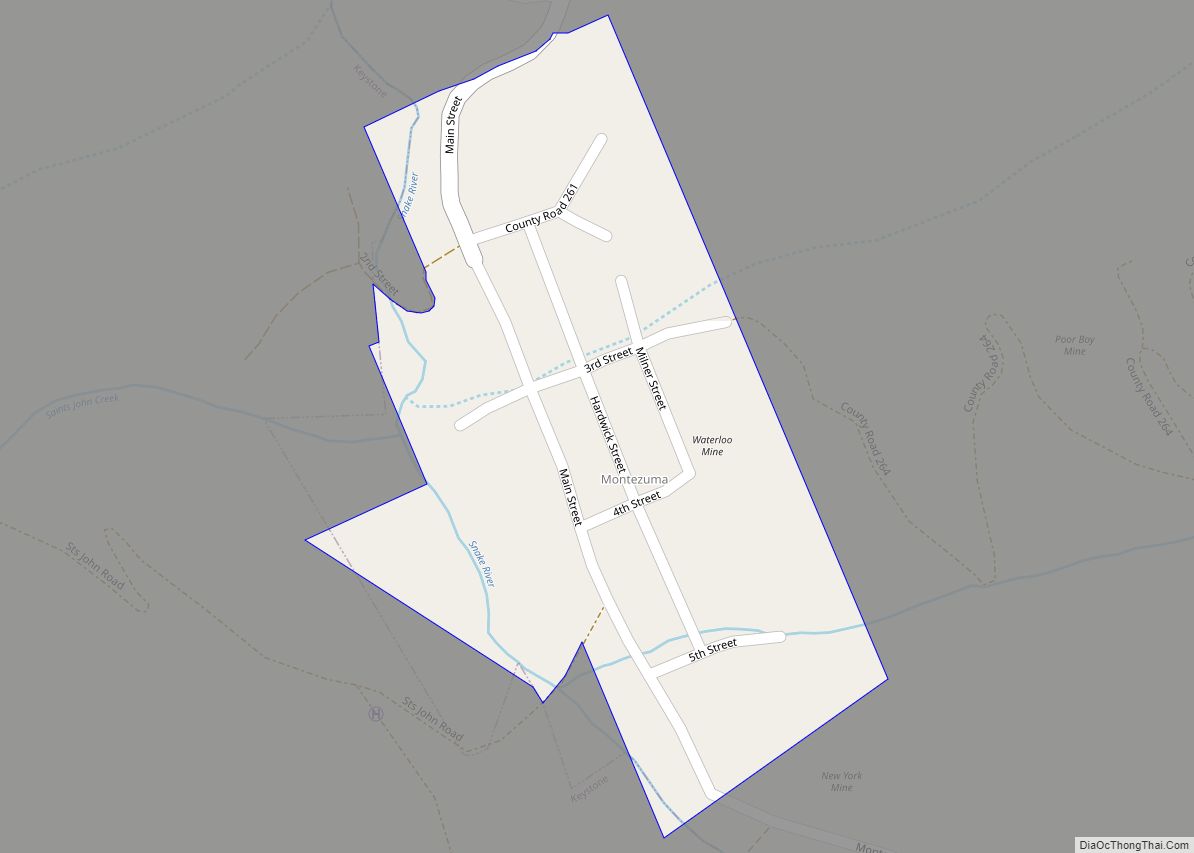
- Montezuma
- Montrose
- Morgan
- Otero
- Ouray
- Park
- Phillips
- Pitkin
- Prowers
- Pueblo
- Rio Blanco
- Rio Grande
- Routt
- Saguache
- San Juan
- San Miguel
- Sedgwick
- Summit
- Teller
- Washington
- Weld
- Yuma
- Alabama
- Alaska
- Arizona
- Arkansas
- California
- Colorado
- Connecticut
- Delaware
- District of Columbia
- Florida
- Georgia
- Hawaii
- Idaho
- Illinois
- Indiana
- Iowa
- Kansas
- Kentucky
- Louisiana
- Maine
- Maryland
- Massachusetts
- Michigan
- Minnesota
- Mississippi
- Missouri
- Montana
- Nebraska
- Nevada
- New Hampshire
- New Jersey
- New Mexico
- New York
- North Carolina
- North Dakota
- Ohio
- Oklahoma
- Oregon
- Pennsylvania
- Rhode Island
- South Carolina
- South Dakota
- Tennessee
- Texas
- Utah
- Vermont
- Virginia
- Washington
- West Virginia
- Wisconsin
- Wyoming