Vernal, the county seat and largest city in Uintah County is in northeastern Utah, approximately 175 miles (280 km) east of Salt Lake City and 20 miles (32 km) west of the Colorado border. As of the 2010 census, the city population was 9,089. The population has since grown to 10,370 as of the 2018 population estimate.
| Name: | Vernal city |
|---|---|
| LSAD Code: | 25 |
| LSAD Description: | city (suffix) |
| State: | Utah |
| County: | Uintah County |
| Elevation: | 5,328 ft (1,624 m) |
| Total Area: | 4.62 sq mi (11.97 km²) |
| Land Area: | 4.62 sq mi (11.97 km²) |
| Water Area: | 0.00 sq mi (0.00 km²) |
| Total Population: | 9,089 |
| Population Density: | 2,258.33/sq mi (871.95/km²) |
| ZIP code: | 84078-84079 |
| Area code: | 435 |
| FIPS code: | 4980090 |
| GNISfeature ID: | 1433885 |
| Website: | vernalcity.org |
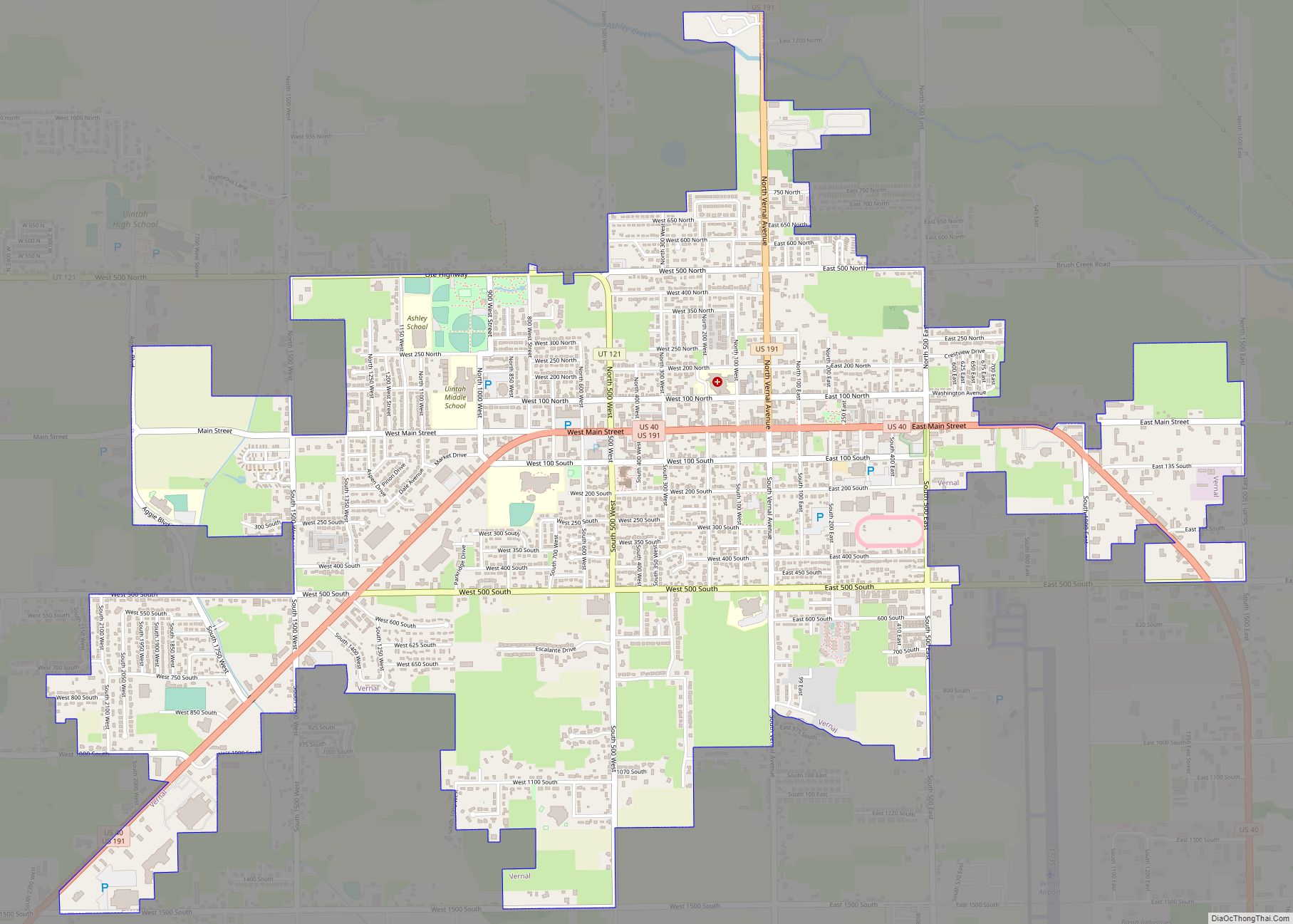
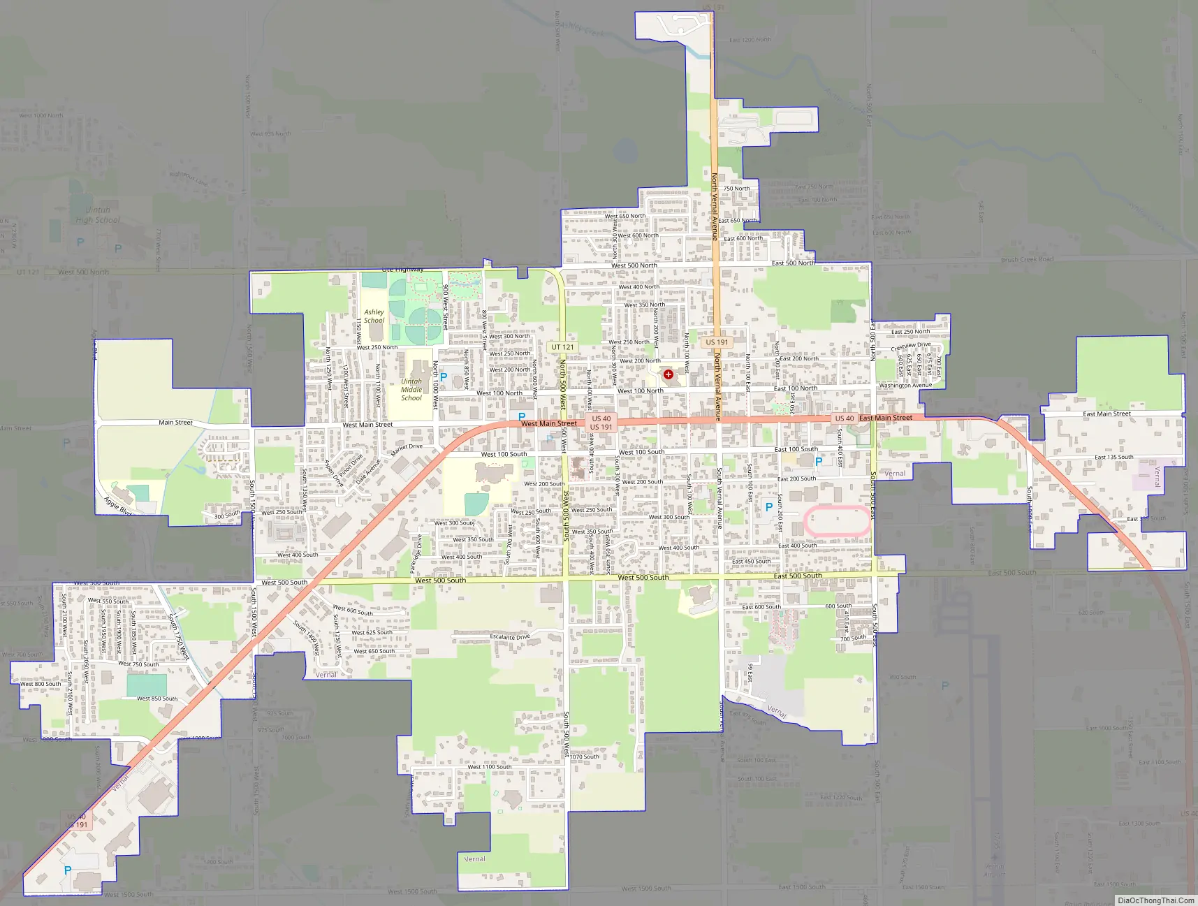
Online Interactive Map
Click on ![]() to view map in "full screen" mode.
to view map in "full screen" mode.
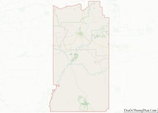
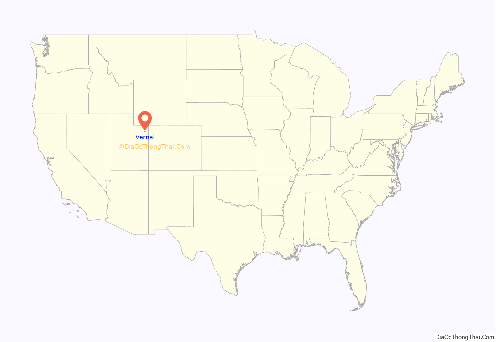
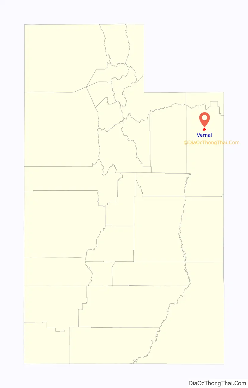
Vernal location map. Where is Vernal city?
History
Vernal, unlike most Utah towns, was not settled by Mormon Settlers. Brigham Young sent a scouting party to the area Uintah Basin in 1861 and received word back the area was good for nothing but nomad purposes, hunting grounds for Indians, and “to hold the world together.” That same year, President Abraham Lincoln set the area aside as the Uintah Indian Reservation, with Captain Pardon Dodds appointed Indian agent. Dodds later built the first cabin erected by a white man in the Uintah Basin around 1868. Settlers began to filter in after that, and built cabins in various spots on or near Ashley Creek. In 1879 many came close to perishing during the infamous “Hard Winter” of that same year.
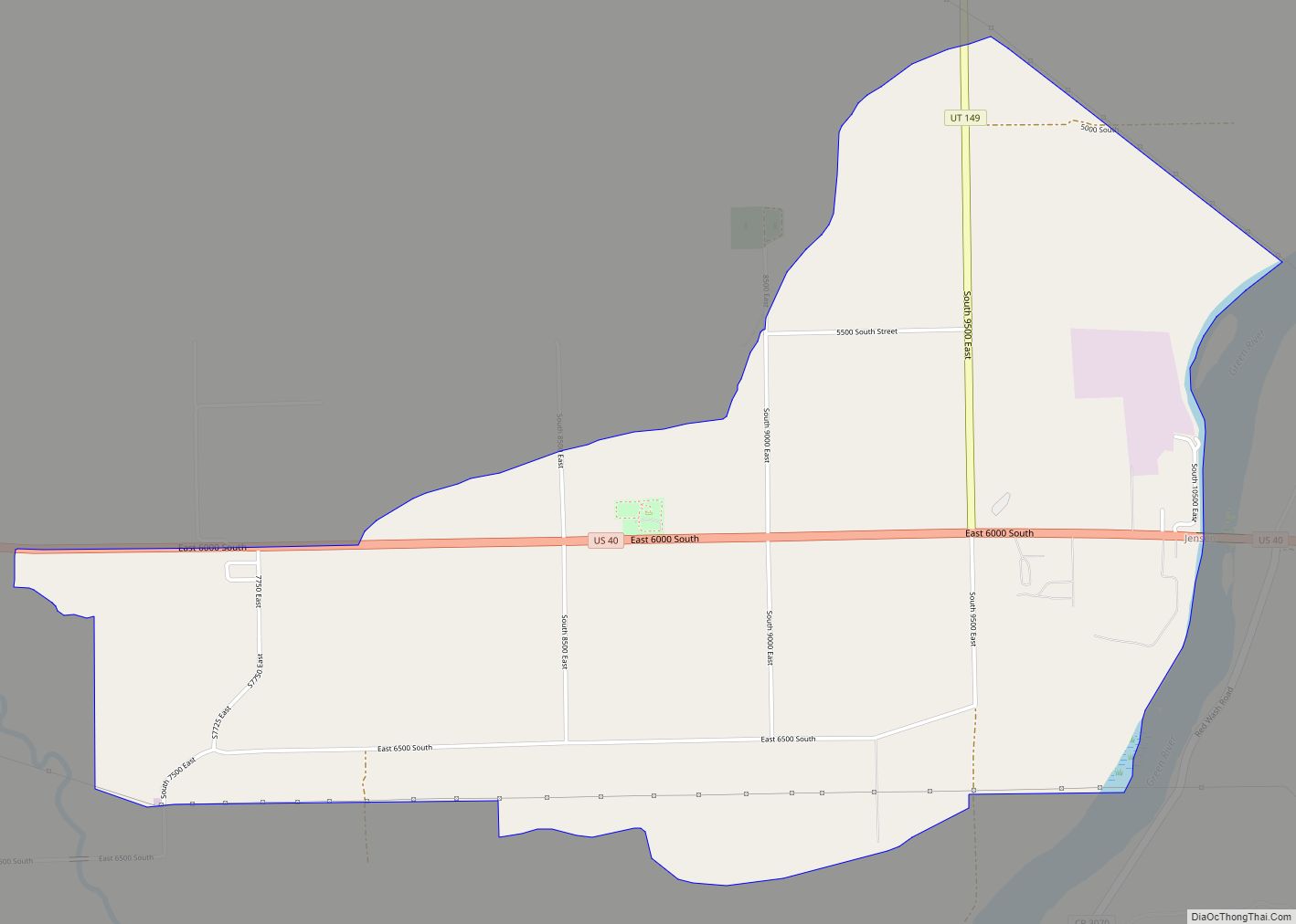
Vernal Road Map
Vernal city Satellite Map

Geography
Vernal is in the Uintah Basin, bordered on the north by the Uinta Mountains, one of the relatively few mountain ranges which lie in an east–west rather than the usual north to south direction. The Book Cliffs lie to the south, and Blue Mountain to the east, while Vernal itself lies in Ashley Valley, named in honor of William H. Ashley, an early fur trader who entered this area in 1825 by floating down the Green River in a bull boat made of animal hides.
Vernal is located at 40°27′17″N 109°32′08″W / 40.45472°N 109.53556°W / 40.45472; -109.53556 on the northern edge of the Colorado Plateau and south of Flaming Gorge National Recreation Area on the Utah-Wyoming state line. The city is in a high desert area of the Colorado Plateau.
According to the United States Census Bureau, the city has a total area of 4.6 square miles (11.9 km), all land.
Climate
Vernal has a cold semi-arid climate (Köppen: BSk) with low humidity. The average annual temperature is 46.9 °F (8.3 °C) with a mean high of 59.8 °F (15.4 °C) and a mean low of 34.0 °F (1.1 °C).
See also
Map of Utah State and its subdivision: Map of other states:- Alabama
- Alaska
- Arizona
- Arkansas
- California
- Colorado
- Connecticut
- Delaware
- District of Columbia
- Florida
- Georgia
- Hawaii
- Idaho
- Illinois
- Indiana
- Iowa
- Kansas
- Kentucky
- Louisiana
- Maine
- Maryland
- Massachusetts
- Michigan
- Minnesota
- Mississippi
- Missouri
- Montana
- Nebraska
- Nevada
- New Hampshire
- New Jersey
- New Mexico
- New York
- North Carolina
- North Dakota
- Ohio
- Oklahoma
- Oregon
- Pennsylvania
- Rhode Island
- South Carolina
- South Dakota
- Tennessee
- Texas
- Utah
- Vermont
- Virginia
- Washington
- West Virginia
- Wisconsin
- Wyoming