Whiterocks is a census-designated place (CDP) in Uintah County, Utah, United States. The population was 341 at the 2000 census, a slight increase over the 1990 population of 312.
| Name: | Whiterocks CDP |
|---|---|
| LSAD Code: | 57 |
| LSAD Description: | CDP (suffix) |
| State: | Utah |
| County: | Uintah County |
| Founded: | 1868 |
| Elevation: | 6,033 ft (1,839 m) |
| Total Area: | 2.4 sq mi (6.1 km²) |
| Land Area: | 2.4 sq mi (6.1 km²) |
| Water Area: | 0.0 sq mi (0.0 km²) |
| Total Population: | 341 |
| Population Density: | 145.1/sq mi (56.0/km²) |
| ZIP code: | 84085 |
| Area code: | 435 |
| FIPS code: | 4984160 |
| GNISfeature ID: | 1434208 |
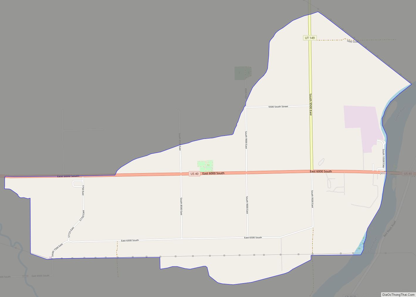
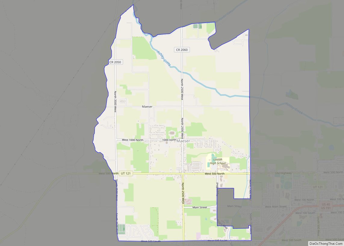
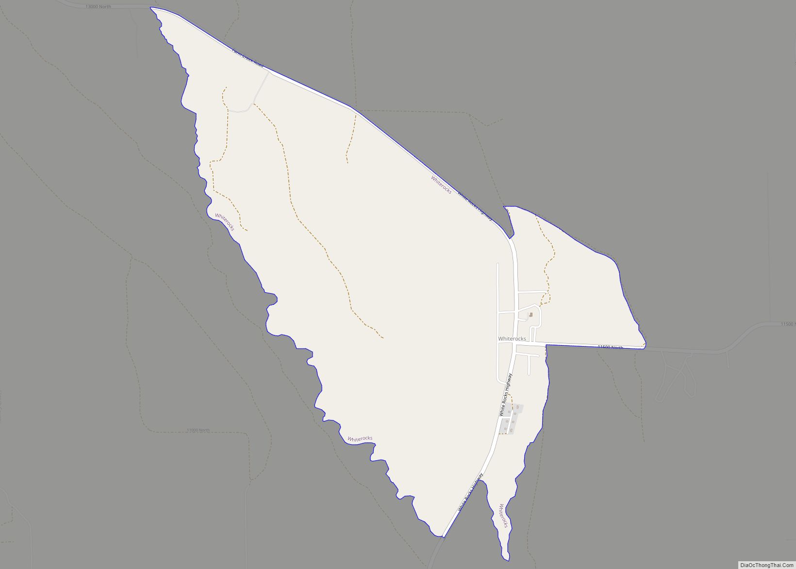
Online Interactive Map
Click on ![]() to view map in "full screen" mode.
to view map in "full screen" mode.
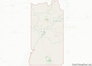
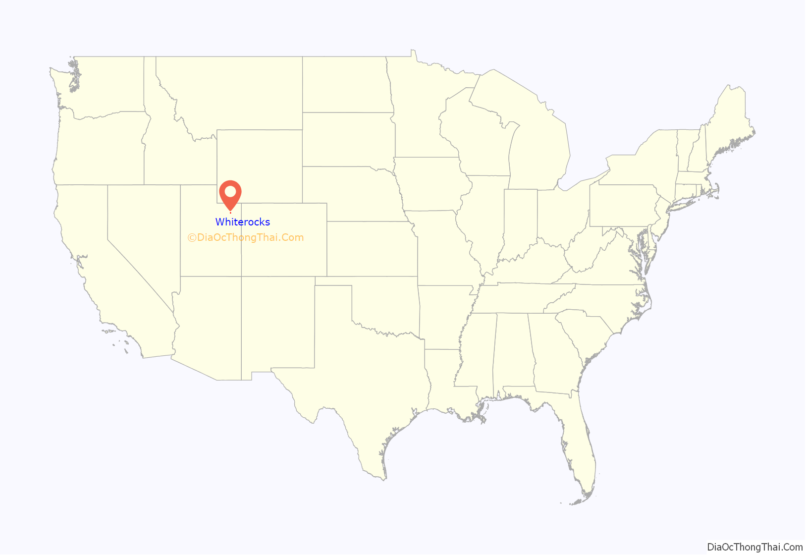
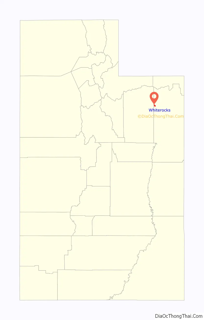
Whiterocks location map. Where is Whiterocks CDP?
History
1828 Four men, William “Toopeechee” Reed, Jim Reed, Dennis Julien, and Augustus Archambeaux, French traders from Kentucky, entered the Uintah Basin and set up a trading post near a spring of water just south and east of the present settlement of Whiterocks. The site was at a junction of trails used by the local Ute people. They brought in the first butcher knives, coffee beans, and other articles traded to the locals for fur. Antoine Rubidoux purchased the enterprise in 1832 and built a larger “fort” just east of the post. Fort Robidoux, a center for fur traders, had a life of 12 years. In 1844, this fort was burned to the ground.
October 3, 1861 By order of Abraham Lincoln and the secretary of the Interior the “Uintah Valley in the Territory of Utah, be set apart and reserved for the use and occupancy of Indian Tribes.”
1868 Amos Reed, a government clerk in the employment of the Indian Service, made a trip to White Rocks. His guide, Chief Antero, said that since he was to be moved to the Uintah Reservation he would choose White Rocks for his home, and he suggested to Mr. Reed that the Indian Agency be established at that place. His reason for his choice was the fact that White Rocks was located in the center of the Basin. Here the local Utes were used to staying. Here traders and trappers had established posts and headquarters. Many trails led to and from it, and here the site had a lovely natural setting. On the recommendation of Chief Antero the agency was moved from Rock Creek to Whiterocks on Christmas Day 1868.
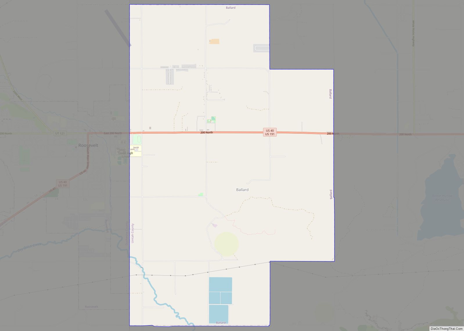
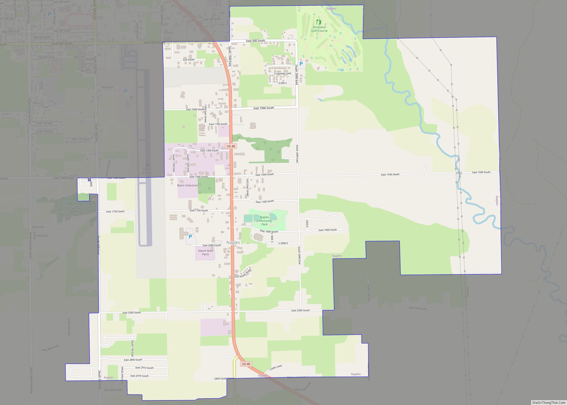
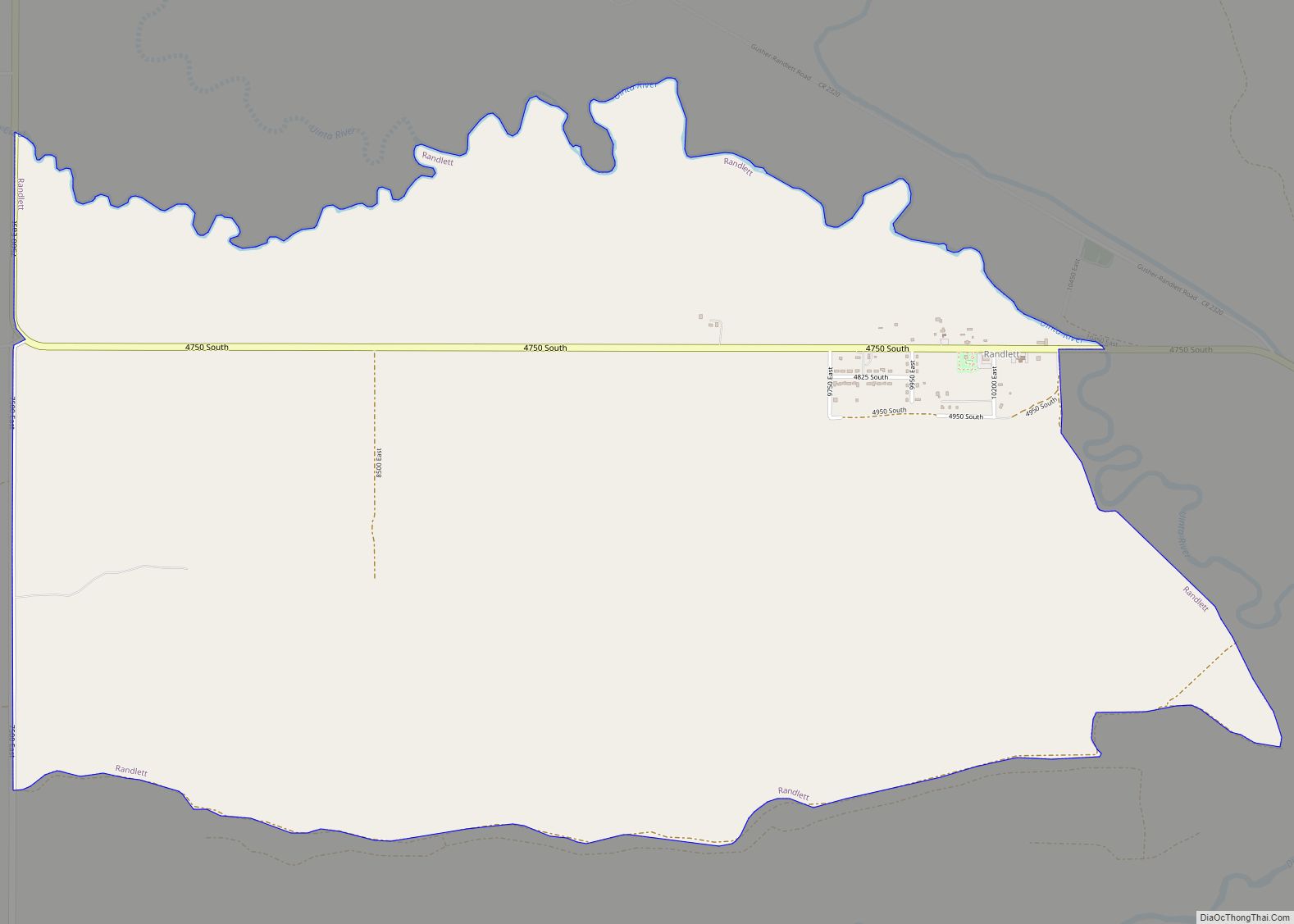
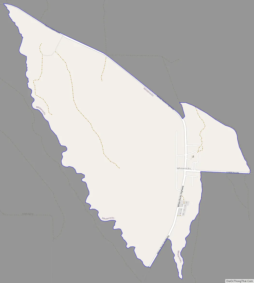
Whiterocks Road Map
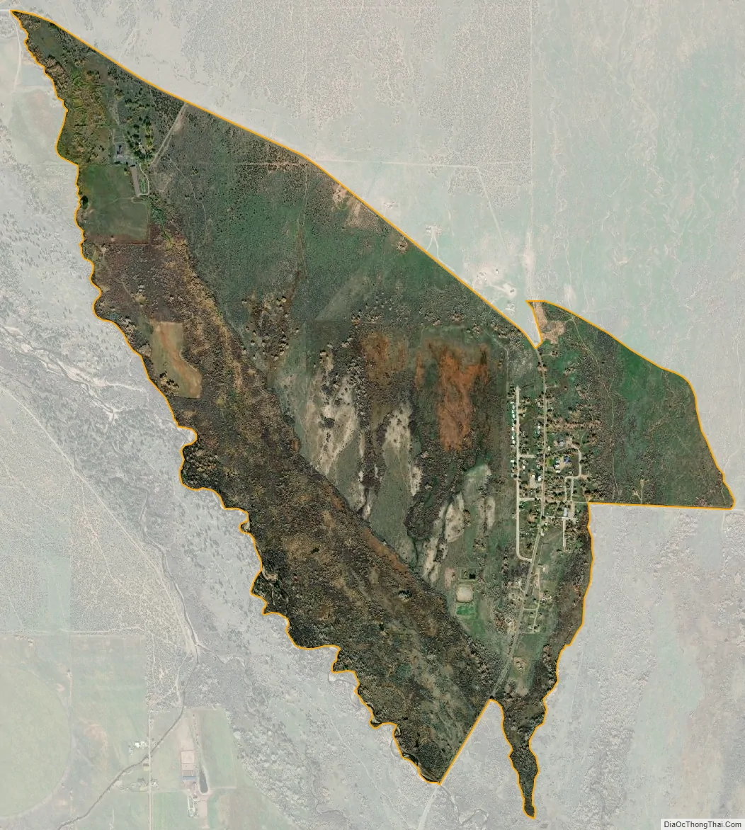
Whiterocks city Satellite Map
Geography
Whiterocks is located at 40°28′3″N 109°55′47″W / 40.46750°N 109.92972°W / 40.46750; -109.92972 (40.467560, -109.929607).
According to the United States Census Bureau, the CDP has a total area of 2.3 square miles (6.0 km), all land.
See also
Map of Utah State and its subdivision: Map of other states:- Alabama
- Alaska
- Arizona
- Arkansas
- California
- Colorado
- Connecticut
- Delaware
- District of Columbia
- Florida
- Georgia
- Hawaii
- Idaho
- Illinois
- Indiana
- Iowa
- Kansas
- Kentucky
- Louisiana
- Maine
- Maryland
- Massachusetts
- Michigan
- Minnesota
- Mississippi
- Missouri
- Montana
- Nebraska
- Nevada
- New Hampshire
- New Jersey
- New Mexico
- New York
- North Carolina
- North Dakota
- Ohio
- Oklahoma
- Oregon
- Pennsylvania
- Rhode Island
- South Carolina
- South Dakota
- Tennessee
- Texas
- Utah
- Vermont
- Virginia
- Washington
- West Virginia
- Wisconsin
- Wyoming