Sodus is a village in Wayne County, New York, United States. The population was 1,819 at the 2010 census.
The Village of Sodus is near the center of the Town of Sodus and lies between Rochester and Syracuse. The village contains the government center for the Town of Sodus.
| Name: | Sodus village |
|---|---|
| LSAD Code: | 47 |
| LSAD Description: | village (suffix) |
| State: | New York |
| County: | Wayne County |
| Incorporated: | December 30, 1917 (1917-12-30) |
| Elevation: | 432 ft (133 m) |
| Total Area: | 0.94 sq mi (2.44 km²) |
| Land Area: | 0.94 sq mi (2.44 km²) |
| Water Area: | 0.00 sq mi (0.00 km²) |
| Total Population: | 1,667 |
| Population Density: | 1,771.52/sq mi (684.03/km²) |
| Area code: | 315 and 680 |
| FIPS code: | 3668209 |
| GNISfeature ID: | 0965619 |
| Website: | http://villageofsodus.org/ |
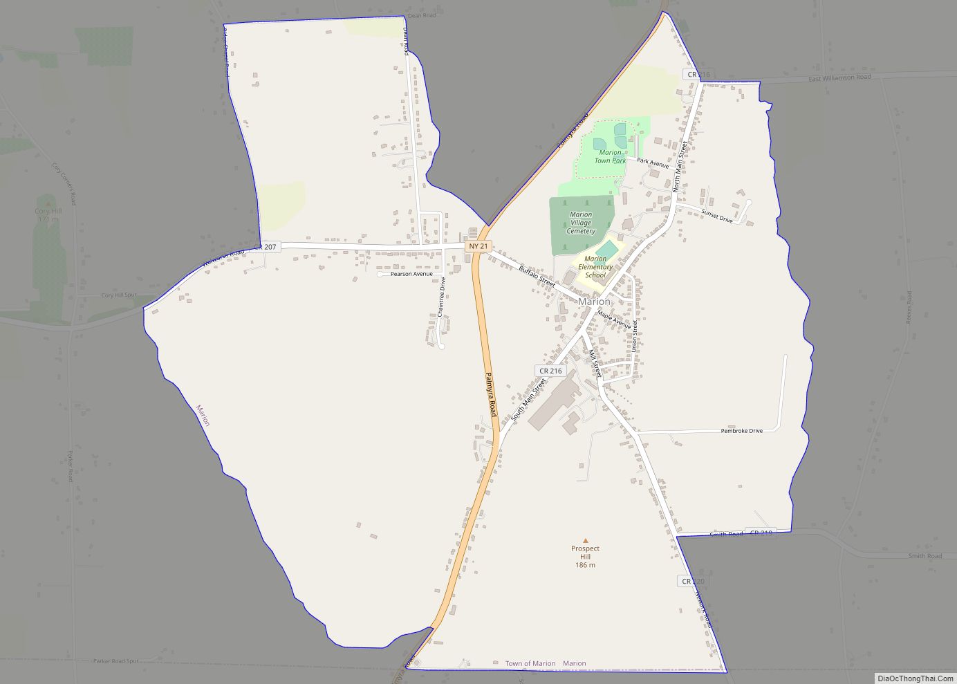
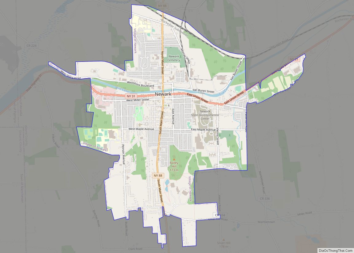
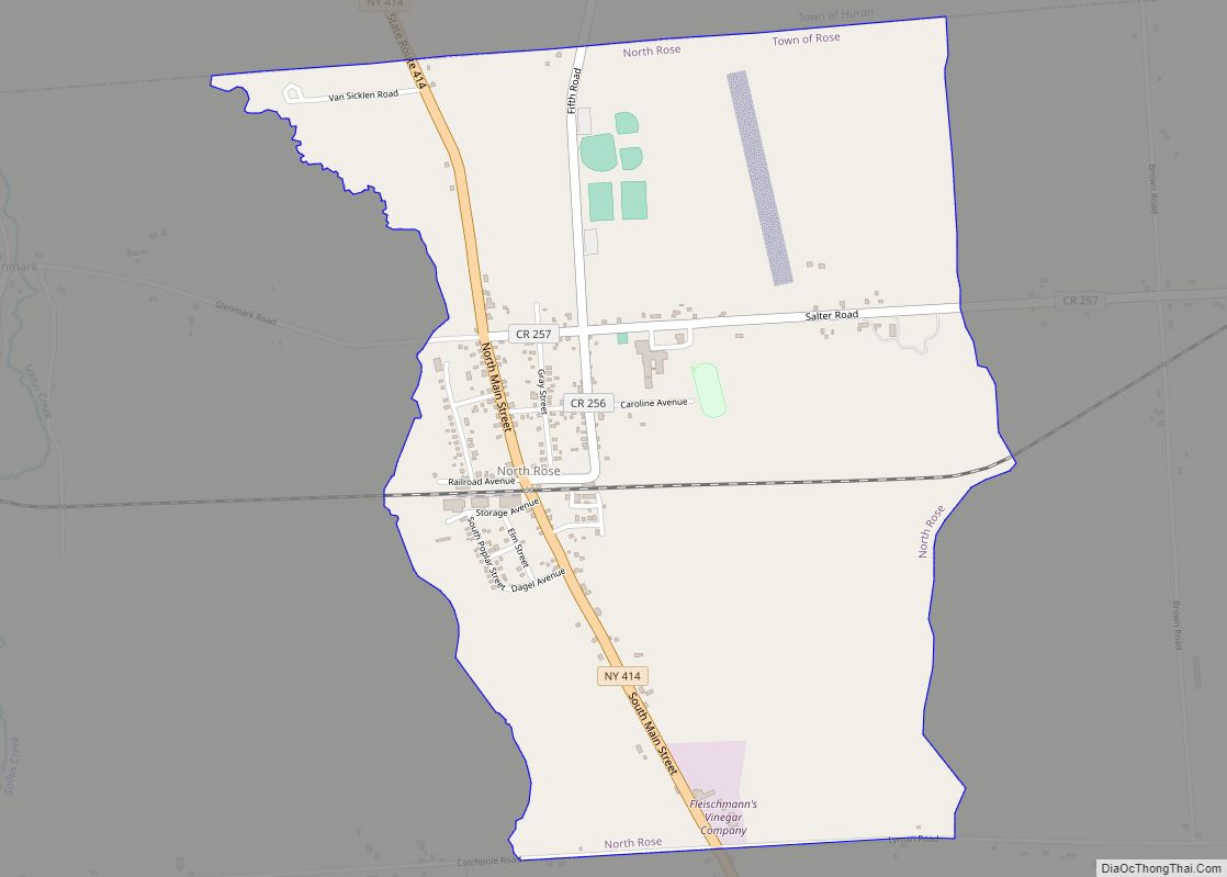
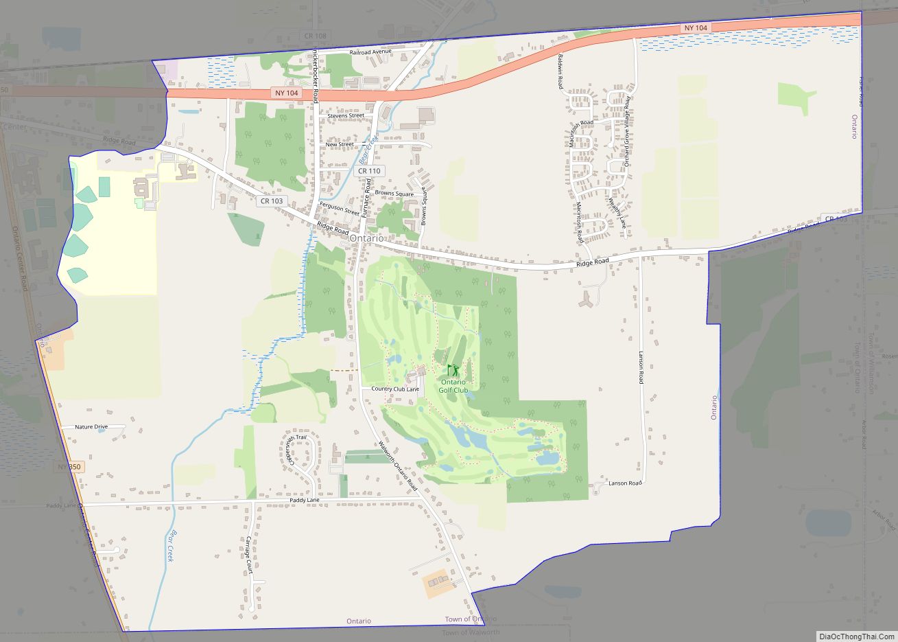
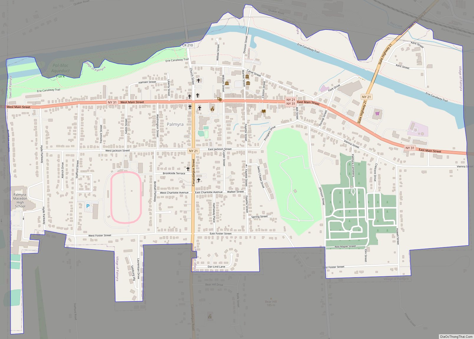
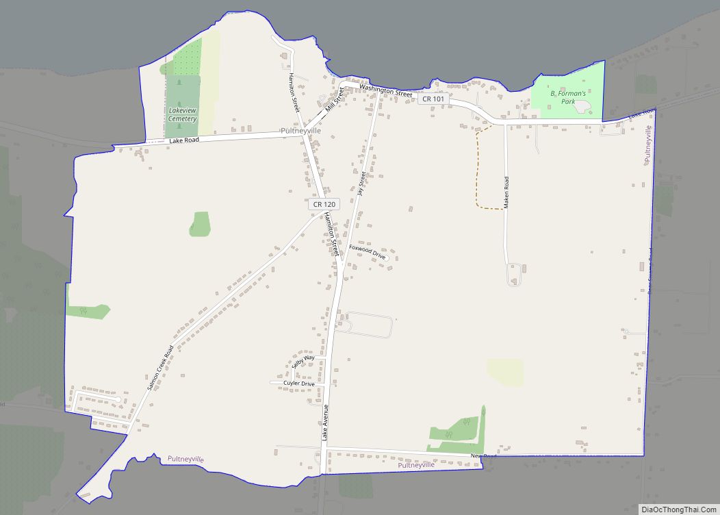
Online Interactive Map
Click on ![]() to view map in "full screen" mode.
to view map in "full screen" mode.
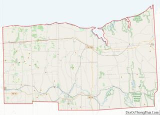
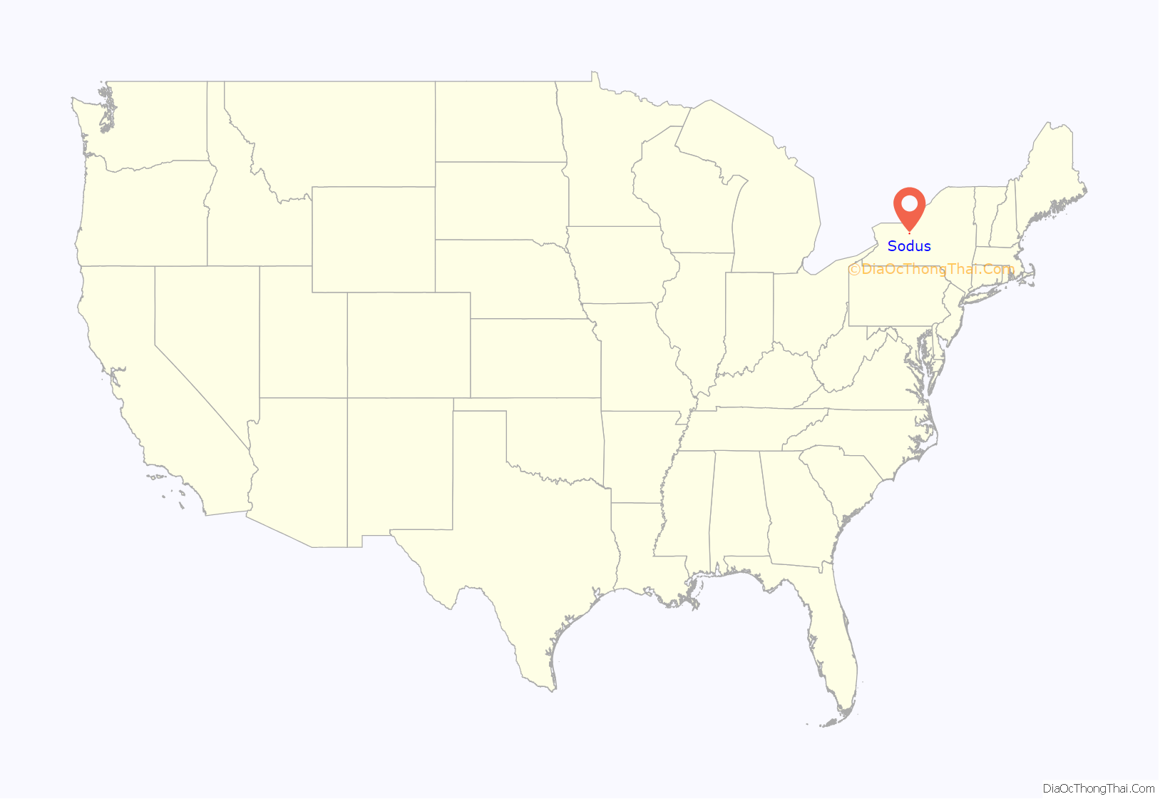
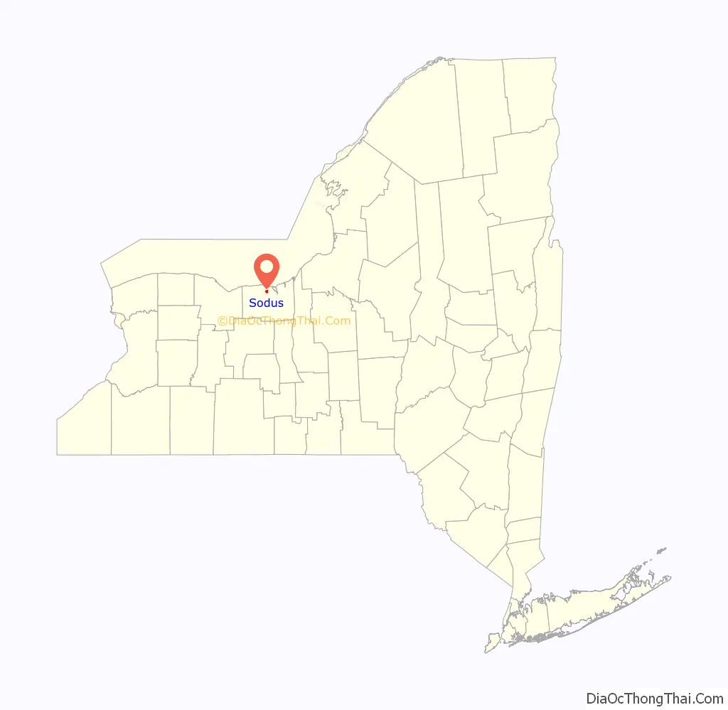
Sodus location map. Where is Sodus village?
History
The village area was part of the Iroquois Confederacy’s territory. Specifically, this was territory of the Onondaga nation for many years. They camped at lake edge, where they could fish. They hunted in the interior woods. After the American Revolution, in which the Onondagas and most Iroquois tribes had allied with Great Britain, they were forced to cede their lands to New York as part of the peace settlement (Treaty of Fort Stanwix). Migrating with Loyalists after Britain’s defeat, the tribes relocated to Upper Canada across Lake Ontario, where the British government made some allotments for their reservations.
The first European-American settler arrived at what became Sodus in 1809, as part of the great postwar migration of settlers from New England into western New York. The village was incorporated in 1917.
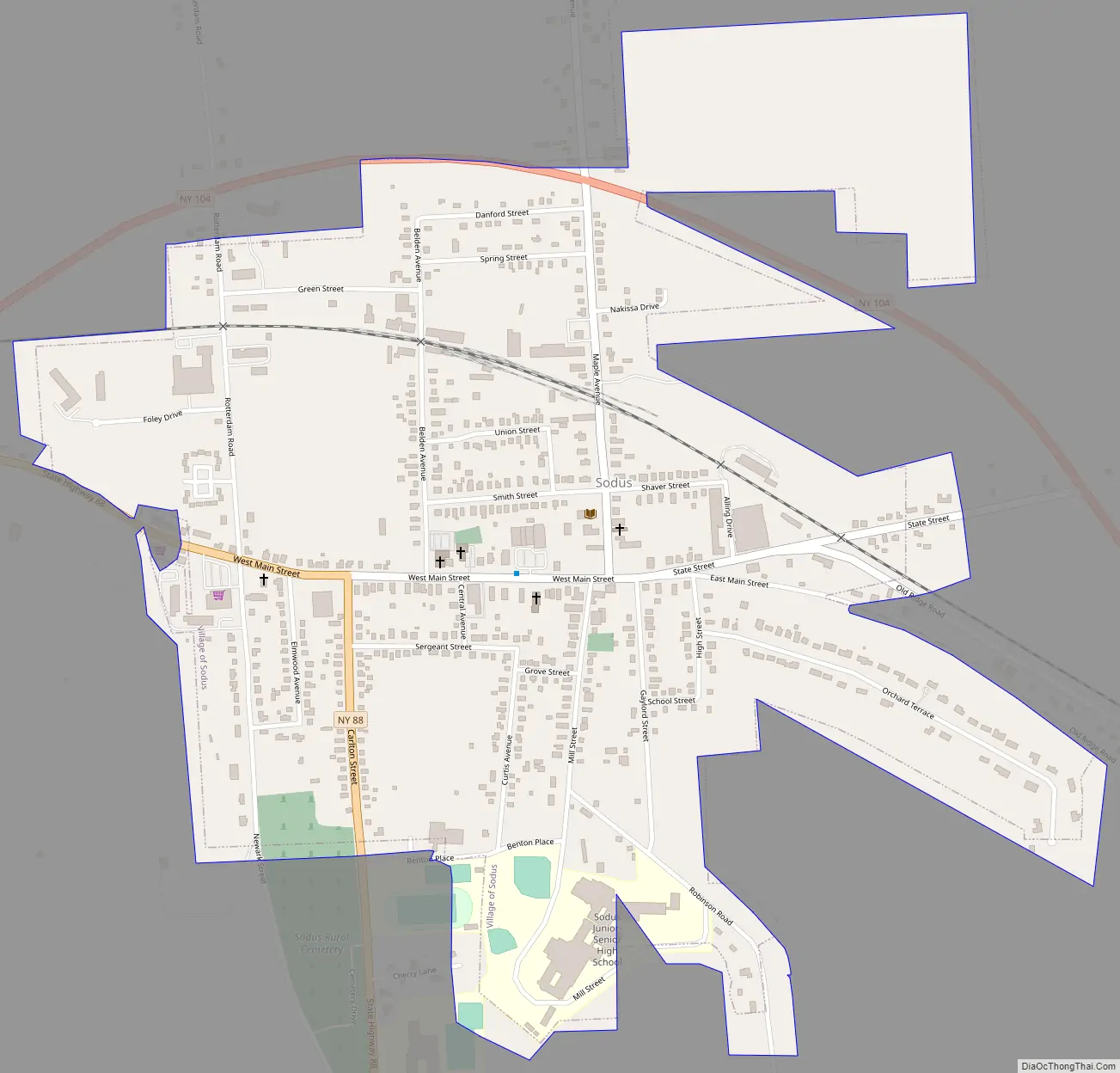
Sodus Road Map
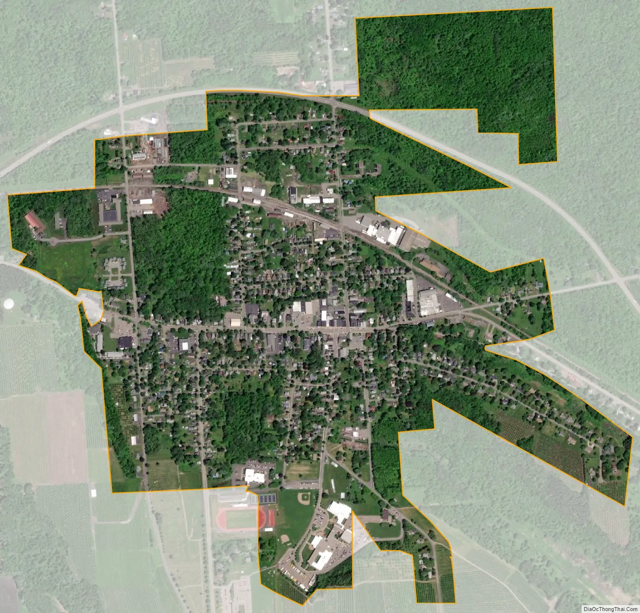
Sodus city Satellite Map
Geography
According to the United States Census Bureau, the village has a total area of 0.9 square mile (2.4 km), all land.
The village is on New York State Route 104, which passes around the north part of the village and is at the northern end of New York State Route 88. County Roads 134 (Maple Avenue) and 143 (West Main Street/State Street) also lead into the village.
Sodus is south of the Lake Ontario shore and southwest of Sodus Bay.
See also
Map of New York State and its subdivision:- Albany
- Allegany
- Bronx
- Broome
- Cattaraugus
- Cayuga
- Chautauqua
- Chemung
- Chenango
- Clinton
- Columbia
- Cortland
- Delaware
- Dutchess
- Erie
- Essex
- Franklin
- Fulton
- Genesee
- Greene
- Hamilton
- Herkimer
- Jefferson
- Kings
- Lake Ontario
- Lewis
- Livingston
- Madison
- Monroe
- Montgomery
- Nassau
- New York
- Niagara
- Oneida
- Onondaga
- Ontario
- Orange
- Orleans
- Oswego
- Otsego
- Putnam
- Queens
- Rensselaer
- Richmond
- Rockland
- Saint Lawrence
- Saratoga
- Schenectady
- Schoharie
- Schuyler
- Seneca
- Steuben
- Suffolk
- Sullivan
- Tioga
- Tompkins
- Ulster
- Warren
- Washington
- Wayne
- Westchester
- Wyoming
- Yates
- Alabama
- Alaska
- Arizona
- Arkansas
- California
- Colorado
- Connecticut
- Delaware
- District of Columbia
- Florida
- Georgia
- Hawaii
- Idaho
- Illinois
- Indiana
- Iowa
- Kansas
- Kentucky
- Louisiana
- Maine
- Maryland
- Massachusetts
- Michigan
- Minnesota
- Mississippi
- Missouri
- Montana
- Nebraska
- Nevada
- New Hampshire
- New Jersey
- New Mexico
- New York
- North Carolina
- North Dakota
- Ohio
- Oklahoma
- Oregon
- Pennsylvania
- Rhode Island
- South Carolina
- South Dakota
- Tennessee
- Texas
- Utah
- Vermont
- Virginia
- Washington
- West Virginia
- Wisconsin
- Wyoming