Palmyra (/ˌpælˈmaɪrə/) is a village in Wayne County, New York, United States. The population was 3,536 at the 2010 census. The village, along with the town, is named after Palmyra in present-day Syria.
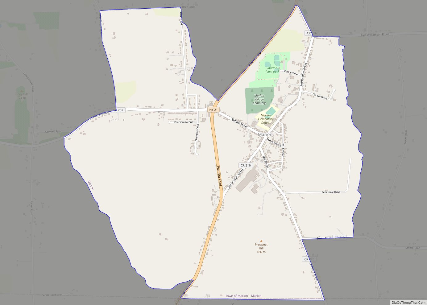
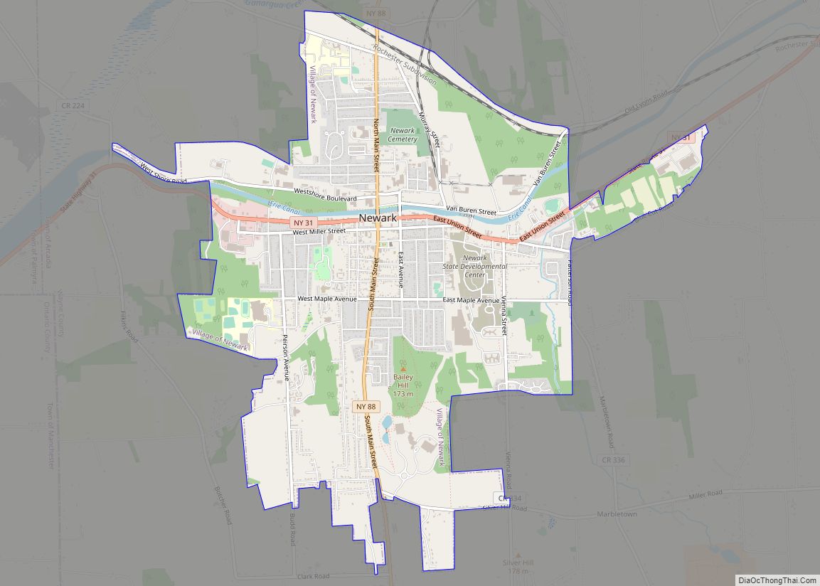
The village is in the Town of Palmyra. The village is east of Rochester.
| Name: | Palmyra village |
|---|---|
| LSAD Code: | 47 |
| LSAD Description: | village (suffix) |
| State: | New York |
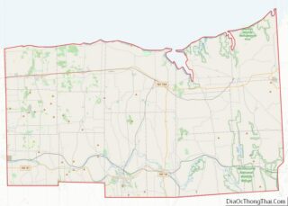
| County: | Wayne County |
| Incorporated: | March 29, 1827 (1827-03-29) |
| Elevation: | 480 ft (148 m) |
| Total Area: | 1.35 sq mi (3.49 km²) |
| Land Area: | 1.35 sq mi (3.49 km²) |
| Water Area: | 0.00 sq mi (0.00 km²) |
| Total Population: | 3,305 |
| Population Density: | 2,453.60/sq mi (947.42/km²) |
| Area code: | 315 and 680 |
| FIPS code: | 3656187 |
| GNISfeature ID: | 0970448 |
| Website: | http://www.palmyrany.com |
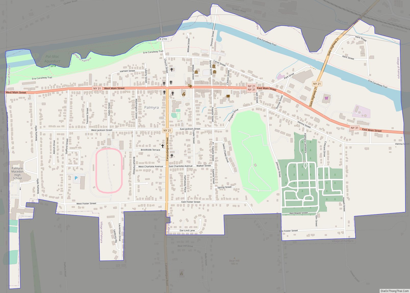
Online Interactive Map
Click on ![]() to view map in "full screen" mode.
to view map in "full screen" mode.
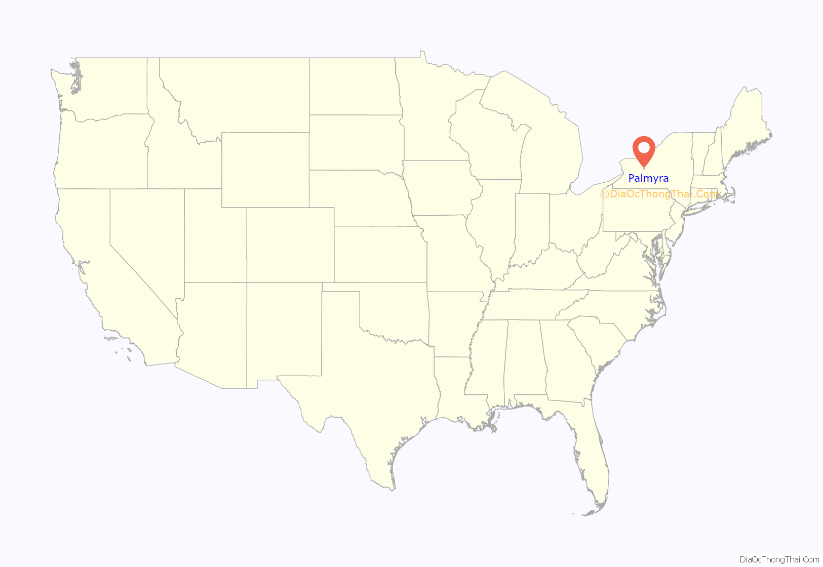
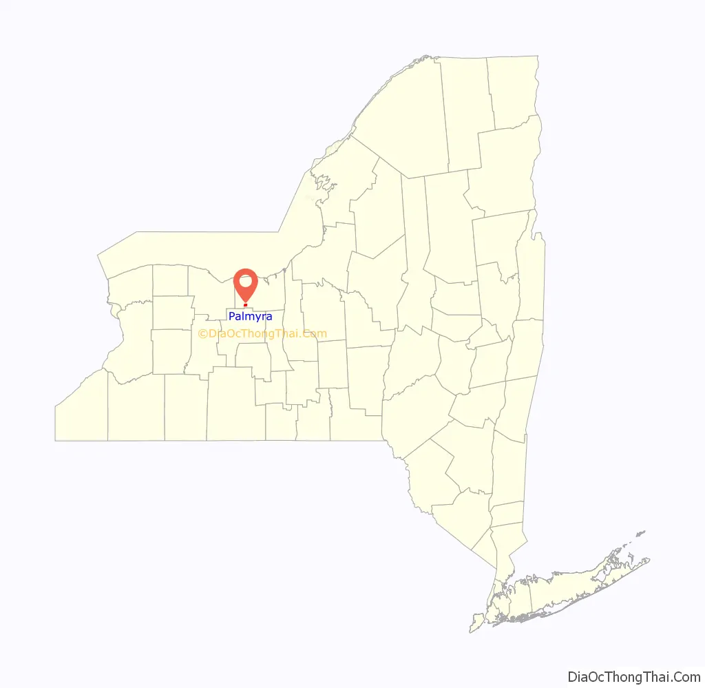
Palmyra location map. Where is Palmyra village?
History
The village was originally called “Swift’s Landing” after founder John Swift in 1790, and was incorporated as Palmyra in 1827. By 1900, the village had become a railroad and industrial center. Palmyra was a large part of the underground railroad during times of slavery; it is reported to have helped over 2,000 fugitive slaves escape into Canada.
Palmyra claims to be the only city or village in the U.S. to have four churches at a four corner intersection facing each other. It is one of ten places in the world that has four churches on the four corners of two intersecting highways. The “four corners” churches are at the intersection of New York State Route 21 and New York State Route 31.
The Palmyra Village Historic District was listed on the National Register of Historic Places in 2009. It includes the previously listed Market Street Historic District, East Main Street Commercial Historic District, and Zion Episcopal Church.
Palmyra is part of the Erie Canalway National Heritage Corridor. Erie Canal Lock 29 is behind Palmyra-Macedon Aqueduct Park, just off N.Y. Route 31. It was built around 1914, and has a lift of 16 feet (4.88 m) to the west. Nearby are the remains of the Palmyra Aqueduct (built 1857), also known as Mud Creek Aqueduct. Before the Erie Canal was re-routed, it crossed the top of aqueduct over Ganargua Creek. The former Erie Canal Change Bridge #35 (also called Aldrich Bridge), is at Palmyra-Macedon Aqueduct Park. A change bridge allowed towpaths to switch from one side of the canal to the other. It was first constructed in 1858. The bridge was sold to a local farm in 1915, but later salvaged after flooding in 1996 and reconstructed eight years later at the park.
Place in early Latter-Day Saint History
In 1830 the village was the site of the first publication of the Book of Mormon at the printing press of local publisher E. B. Grandin. Many other events in the early history of the Latter Day Saint movement took place in the village and town. The Book of Mormon Historic Publication Site has been maintained by the Church of Jesus Christ of Latter-day Saints since 1978 as a tourist destination and was restored and rededicated in 1998.
2013 Downtown Fire
On May 3, 2013, a fire started by alleged arson destroyed three historic Main Street buildings dating to the village’s Erie Canal era, and water from the firefighting response damaged a fourth. The buildings were condemned on May 7 and were demolished that summer. The buildings had survived proposed demolition during the urban renewal era of the 1960s. Business owner Mark Crane rebuilt his “Mark’s Pizzeria” over several of the building sites, leaving one open for an outdoor seating area.
Palmyra Road Map

Palmyra city Satellite Map
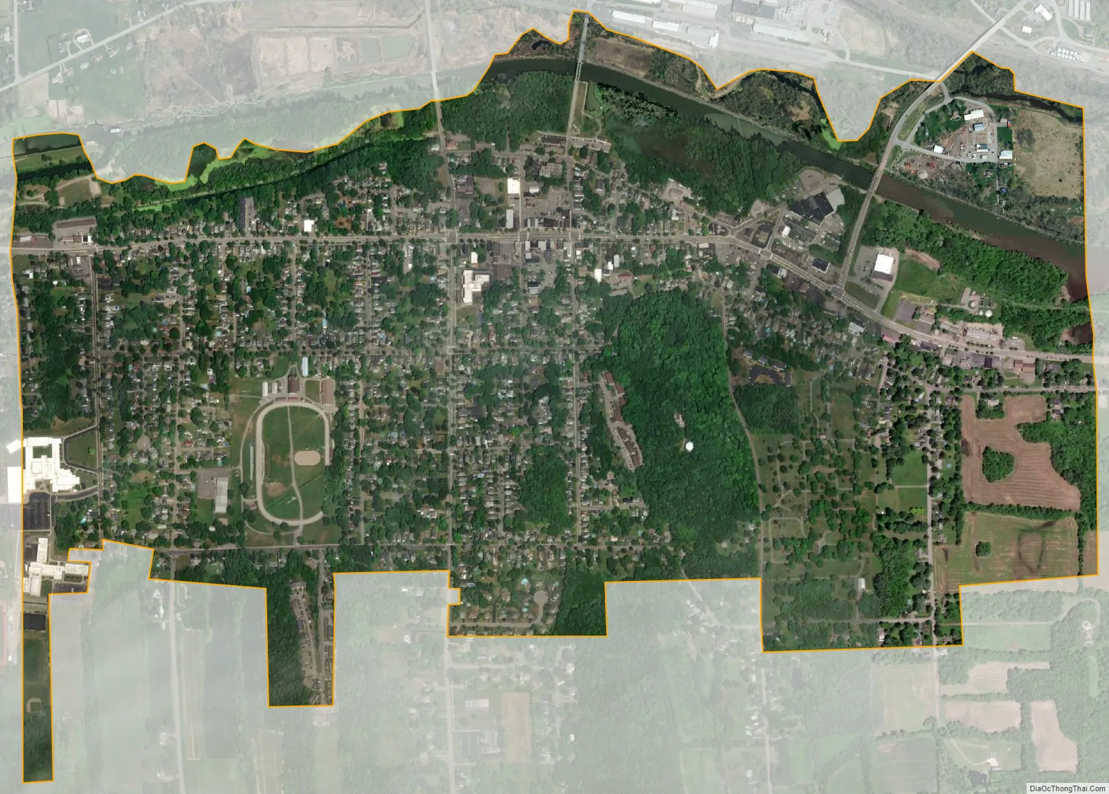
Geography
According to the United States Census Bureau, the village has an area of 1.3 square miles (3.4 km), all land.
It is at 43°03′47″N 77°13′59″W / 43.063°N 77.233°W / 43.063; -77.233. It is part of metropolitan Rochester, New York.
Palmyra village is at the junction of New York State Route 31 and New York State Route 21, which are partly conjoined in the village. Palmyra is along the Erie Canal and is south of Lake Ontario.
See also
Map of New York State and its subdivision:- Albany
- Allegany
- Bronx
- Broome
- Cattaraugus
- Cayuga
- Chautauqua
- Chemung
- Chenango
- Clinton
- Columbia
- Cortland
- Delaware
- Dutchess
- Erie
- Essex
- Franklin
- Fulton
- Genesee
- Greene
- Hamilton
- Herkimer
- Jefferson
- Kings
- Lake Ontario
- Lewis
- Livingston
- Madison
- Monroe
- Montgomery
- Nassau
- New York
- Niagara
- Oneida
- Onondaga
- Ontario
- Orange
- Orleans
- Oswego
- Otsego
- Putnam
- Queens
- Rensselaer
- Richmond
- Rockland
- Saint Lawrence
- Saratoga
- Schenectady
- Schoharie
- Schuyler
- Seneca
- Steuben
- Suffolk
- Sullivan
- Tioga
- Tompkins
- Ulster
- Warren
- Washington
- Wayne
- Westchester
- Wyoming
- Yates
- Alabama
- Alaska
- Arizona
- Arkansas
- California
- Colorado
- Connecticut
- Delaware
- District of Columbia
- Florida
- Georgia
- Hawaii
- Idaho
- Illinois
- Indiana
- Iowa
- Kansas
- Kentucky
- Louisiana
- Maine
- Maryland
- Massachusetts
- Michigan
- Minnesota
- Mississippi
- Missouri
- Montana
- Nebraska
- Nevada
- New Hampshire
- New Jersey
- New Mexico
- New York
- North Carolina
- North Dakota
- Ohio
- Oklahoma
- Oregon
- Pennsylvania
- Rhode Island
- South Carolina
- South Dakota
- Tennessee
- Texas
- Utah
- Vermont
- Virginia
- Washington
- West Virginia
- Wisconsin
- Wyoming