Williamson County is a county in the U.S. state of Tennessee. As of the 2020 United States census, the population was 247,726. The county seat is Franklin, and the county is located in Middle Tennessee. The county is named after Hugh Williamson, a North Carolina politician who signed the U.S. Constitution. Adjusted for relative cost of living, Williamson County is one of the wealthiest counties in the United States. Williamson County is part of the Nashville-Davidson–Murfreesboro–Franklin, TN Metropolitan Statistical Area. In the 19th century, tobacco and hemp were cultivated here, and planters also raised blooded livestock, including horses and cattle.
| Name: | Williamson County |
|---|---|
| FIPS code: | 47-187 |
| State: | Tennessee |
| Founded: | October 26, 1799 |
| Named for: | Hugh Williamson |
| Seat: | Franklin |
| Largest city: | Franklin |
| Total Area: | 584 sq mi (1,510 km²) |
| Land Area: | 583 sq mi (1,510 km²) |
| Total Population: | 247,726 |
| Population Density: | 420/sq mi (160/km²) |
| Time zone: | UTC−6 (Central) |
| Summer Time Zone (DST): | UTC−5 (CDT) |
| Website: | williamsoncounty-tn.gov |
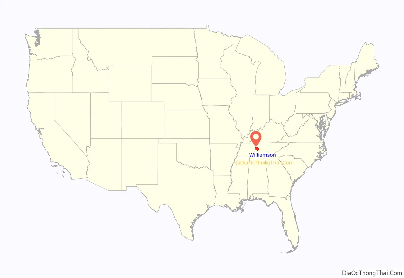
Williamson County location map. Where is Williamson County?
History
Pre-Civil War
The Tennessee General Assembly created Williamson County on October 26, 1799, from a portion of Davidson County. This territory had long been inhabited by at least five Native American cultures, including the Cherokee, Chickasaw, Choctaw, Creek, and Shawnee. It is home to two Mississippian-period mound complexes, the Fewkes site and the Old Town site, built by people of a culture dated to about 1000 CE, which preceded such historic tribes.
European-American settlers arrived in the area by 1798, after the Revolutionary War. Fur traders had preceded them. Scots traders had intermarried with Native American women and had families with them. Both sides thought these relationships could benefit them. Most of the settlers were migrants from Virginia and North Carolina, part of a western movement across the Appalachian Mountains after the American Revolutionary War. Others came after living for a generation in Kentucky. Many brought slaves with them to cultivate the labor-intensive tobacco crops, as well as to care for livestock
In 1800, Abram Maury laid out Franklin, the county seat, which was carved out of a land grant he had purchased from Major Anthony Sharp. “The county was named in honor of Dr. Hugh Williamson of North Carolina, who had been a colonel in the North Carolina militia and had served three terms in the Continental Congress.”
Many of the county’s early inhabitants were veterans who had been paid in land grants after the Revolutionary War. Many veterans chose not to settle in the area and sold large sections of their land grants to speculators. These in turn subdivided the land and sold off smaller lots. In the antebellum years, the county was the second-wealthiest in the state. As part of the Middle Tennessee region, it had resources of rich soil, which planters developed with slaves for a diversity of crops including rye, corn, oats, tobacco, hemp, potatoes, wheat, peas, barley, and hay. This diversity, plus timber resources, helped create a stable economy, as opposed to reliance on one cash crop. Slavery was an integral part of the local economy. By 1850, planters and smaller slaveholders in the county held 13,000 enslaved African Americans, who made up nearly half the population of more than 27,000 (see table below).
Civil War
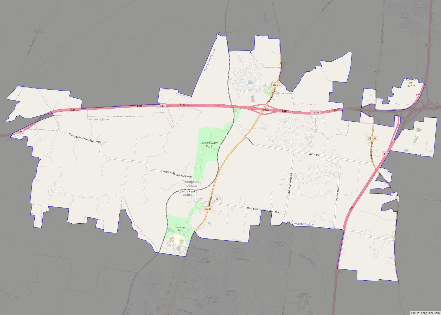
Williamson County was severely affected by the war. Three battles were fought in the county: the Battle of Brentwood, the Battle of Thompson’s Station, and the Battle of Franklin, which had some of the highest fatalities of the war. The large plantations that were part of the county’s economic foundation were ravaged, and many of the county’s youth were killed. Many Confederate casualties of the Battle of Franklin were buried in the McGavock Confederate Cemetery near the Carnton plantation house. Containing the bodies of 1,481 soldiers, it is the largest private Confederate cemetery in America.
Post-Reconstruction to present
The county continued to be agricultural and rural into the early 1900s. “Most residents were farmers who raised corn, wheat, cotton and livestock.”
In the post-Reconstruction era and the early 20th century, white violence against African Americans increased in an effort to assert dominance. Five African Americans were lynched by white mobs in Williamson County. Among them was Amos Miller, a 23-year-old black man taken from the courtroom during his 1888 trial as a suspect in a sexual assault case, and hanged from the balcony of the county courthouse. The sexual assault victim was a 50-year old woman. In 1924, 15-year-old Samuel Smith was lynched in Nolensville for shooting and wounding a white grocer. He was taken from a Nashville hospital by a mob and brought back to the town to be murdered. He was the last recorded lynching victim in the Nashville area.
Numerous blacks left Williamson County from 1880 through 1950 as part of the Great Migration to industrial cities in the North and Midwest for work and to escape Jim Crow oppression and violence. County population did not surpass its 1880 level until 1970, when it began to develop suburban housing in response to growth in Nashville.
One of the first major manufacturers to establish operations in the county was the Dortch Stove works, which opened a factory in Franklin. The factory was later developed as a Magic Chef factory, producing electric and gas ranges. (Magic Chef was prominent in the Midwest from 1929.) When the factory was closed due to extensive restructuring in the industry, the structure fell into disuse. The factory complex was restored in the late 1990s in an adaptation for offices, restaurants, retail and event spaces. It is considered a “model historic preservation adaptive reuse project.”
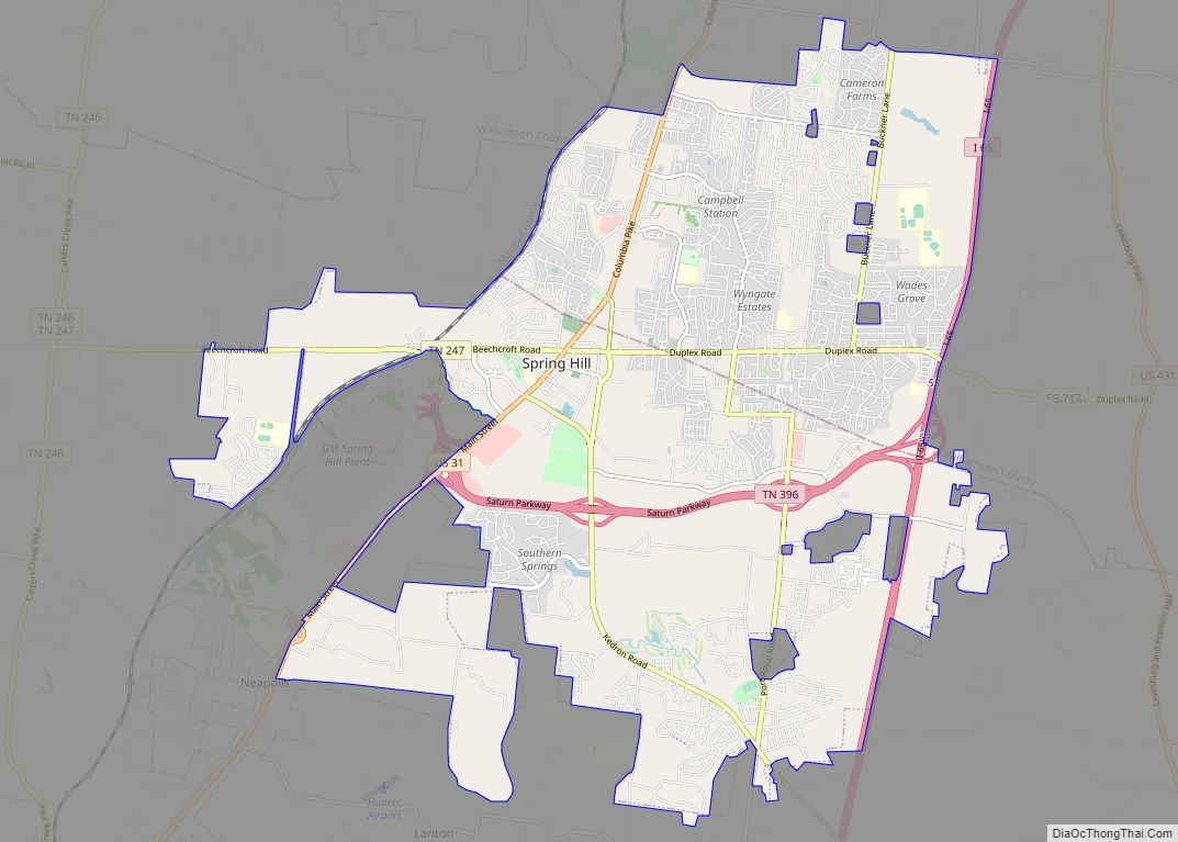
The completion of the Interstate Highway System contributed to Nashville’s rapid expansion in the mid-20th century, stimulating tremendous population growth in Williamson County. As residential suburban population has increased, the formerly rural county has invested in infrastructure and schools, and its character is rapidly changing. Between 1990 and 2000, the county’s population increased 56.3 percent, mostly in the northern part, including Franklin and Brentwood. As of census estimates in 2012, Franklin has more than 66,000 residents (a five-fold increase since 1980), and is the eighth-largest city in the state. Its residents are affluent, with a high median income. The southern part of the county is still primarily rural and used for agriculture. Spring Hill is a growing city in this area. In addition, Williamson County’s overall affluence is also due to an abundance of musicians and celebrities with part-time or full-time residences in it.
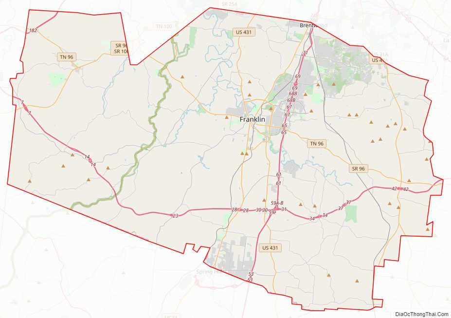
Williamson County Road Map
Geography
According to the U.S. Census Bureau, the county has a total area of 584 square miles (1,510 km), of which 582.8 square miles (1,509 km) is land and 1.2 square miles (3.1 km) (0.2%) is water. The Harpeth River and its tributary, the Little Harpeth River, are the county’s primary streams.
Adjacent counties
- Davidson County (north)
- Rutherford County (east)
- Marshall County (southeast)
- Maury County (south)
- Hickman County (southwest)
- Dickson County (northwest)
- Cheatham County (north)
National protected area
- Natchez Trace Parkway
State protected areas
- Carter House State Historic Site
- Haley-Jaqueth Wildlife Management Area
